Kanahua - 11.4.2019
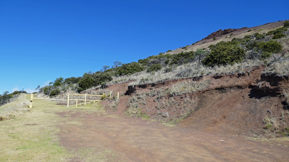
Our first day on Maui we drove up to the SW ridge of Haleakala and parked at 8150 feet where the road/trail is gated.
|
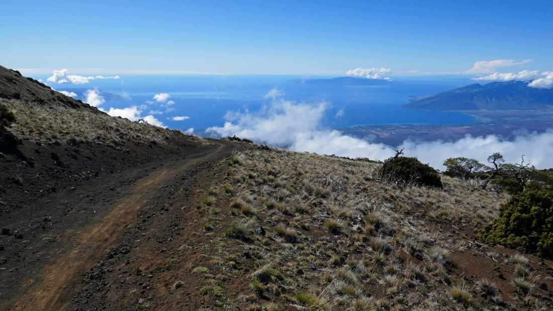
Looking SW at the Waipoli Road that we used to get to our parking spot... the West Maui Mountains are in the right foreground... the island of Lanai is just to the left of the West Maui Mountains... with a small piece of the island of Kahoolawe visible in the center of the photo.
|
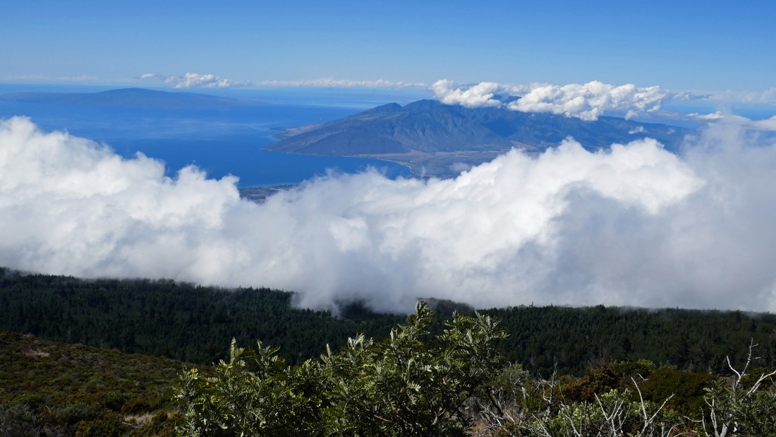
A closer look at the West Maui Mountains in the foreground... with Lanai in the distance on the left.
|
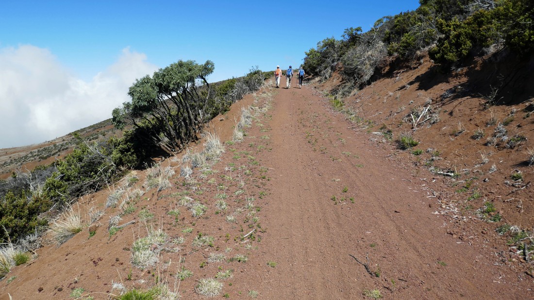
Hiking uphill on the Skyline Trail.
|
Continuing uphill on the Skyline Trail... lots of photo ops along the way.
|
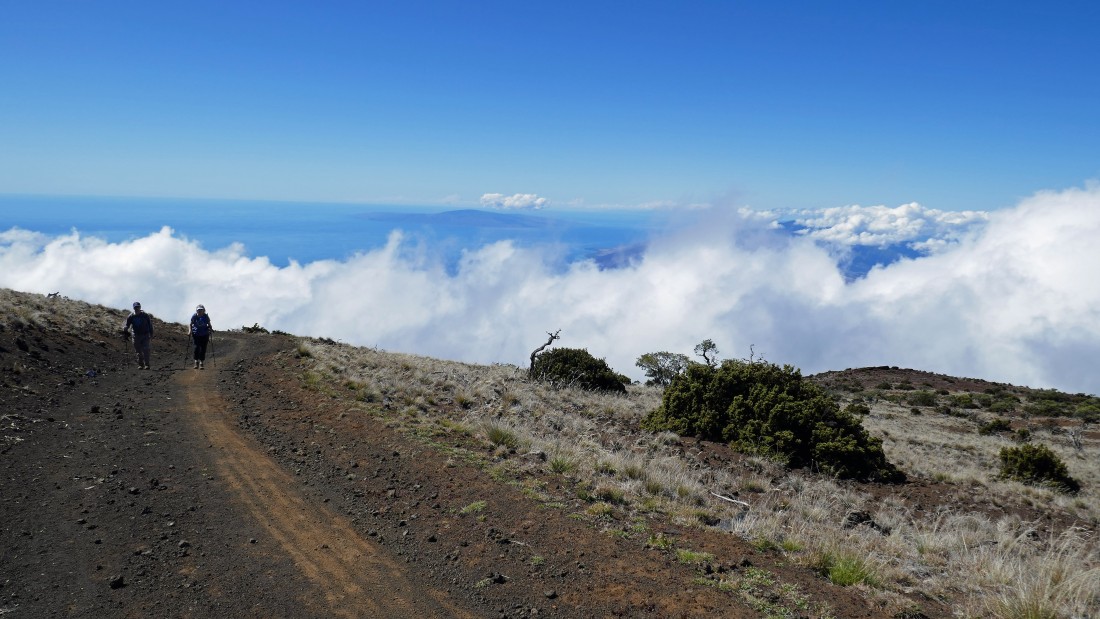
tomman and Denali Girl hiking uphill on the Skyline Trail.
|
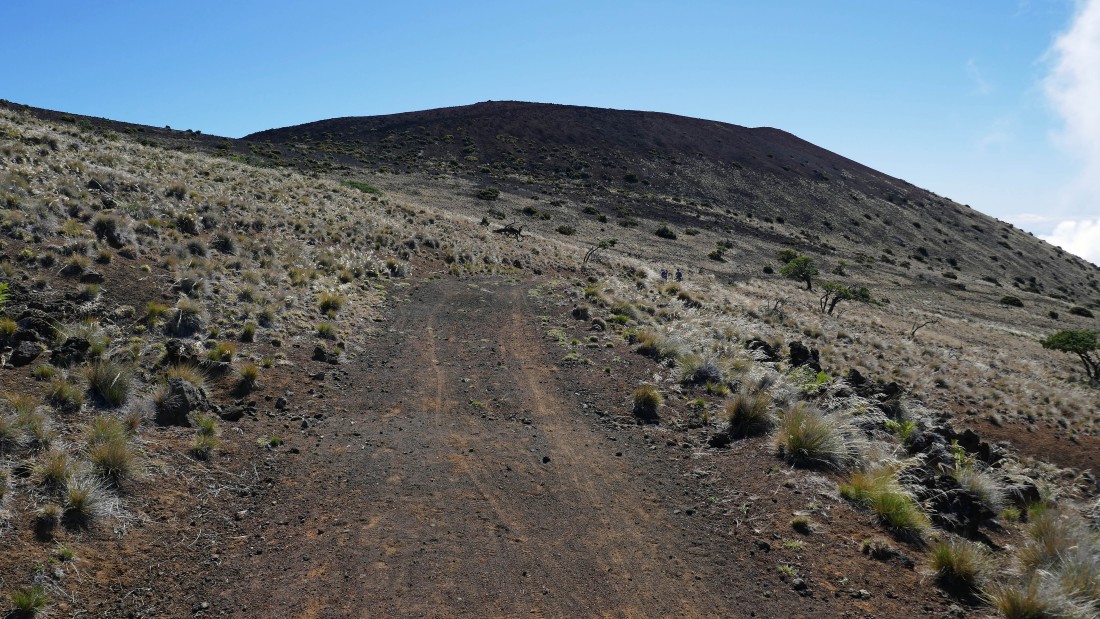
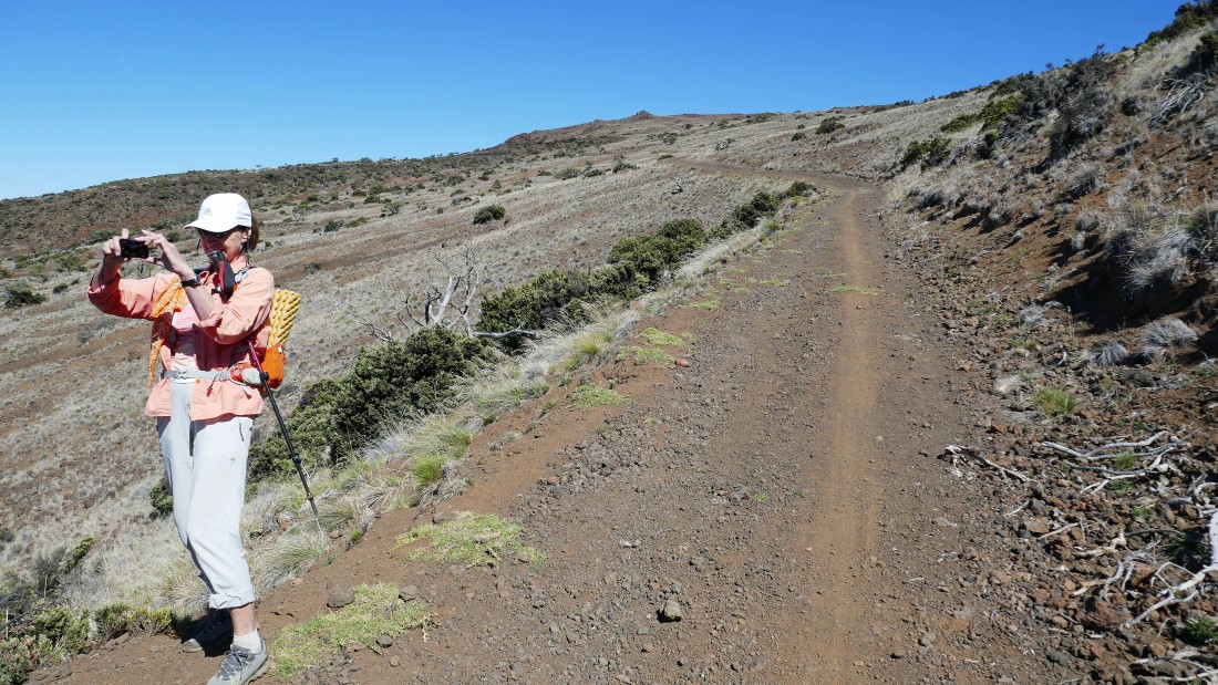
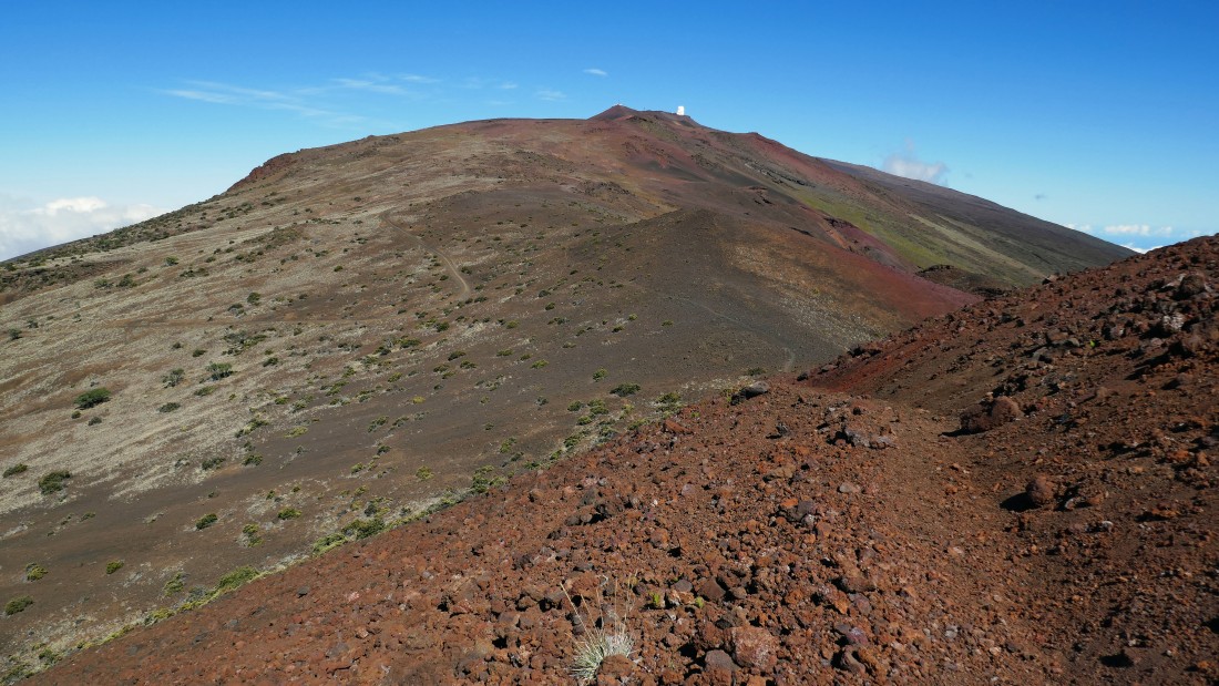
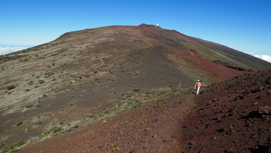
Continuing uphill on the Skyline Trail... it looks like there is a path leading up to the high point in the center of the photo... later on we learned that its name is Kanahua.
|
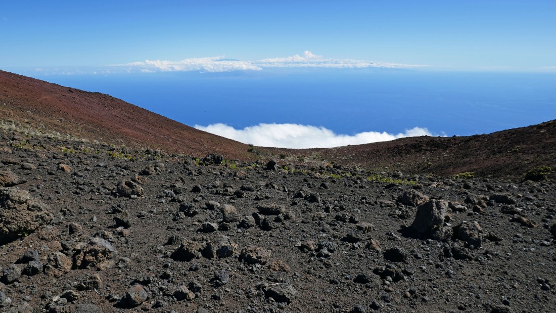
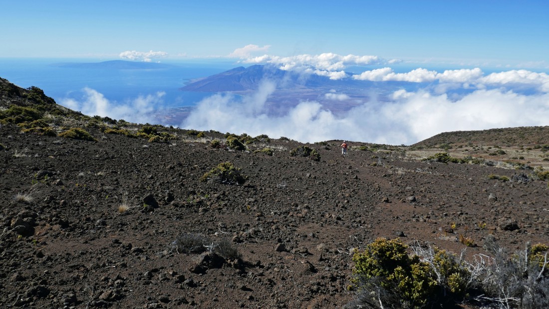
We left the Skyline Trail and headed up to a saddle on the east side of Kanahua where we could see the big island of Hawaii surrounded by clouds.
|
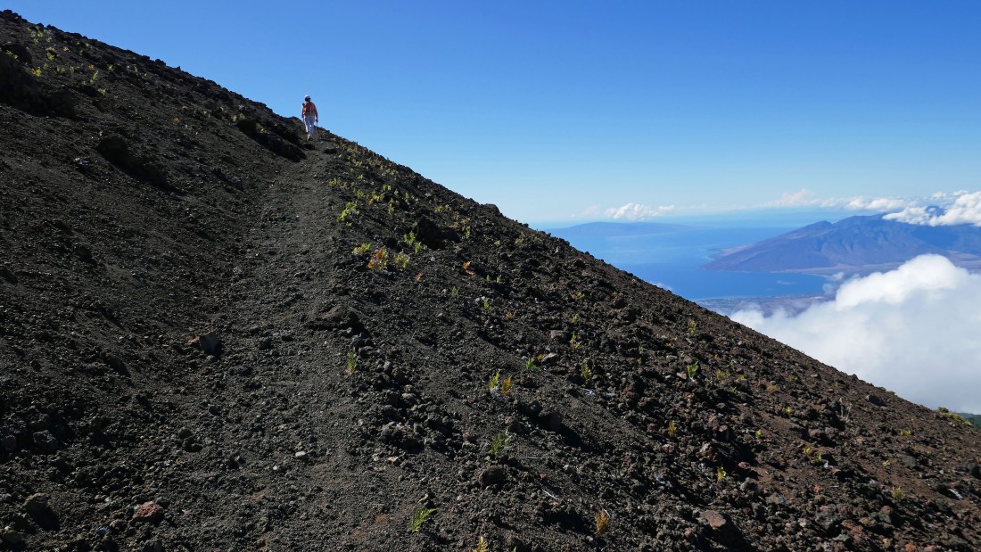
BarbE is hiking on the path that led us up to the top of Kanahua... Lanai and the West Maui Mountains in the distance on the right.
|
Continuing up to Kanahua and looking back at some of the observatories near the summit of Haleakala... you can see how the Skyline Trail winds its way on up there.
|
|
Kanahua is kind of flattish on top... and BarbE is heading for the highest point over there in the center of the photo.
|
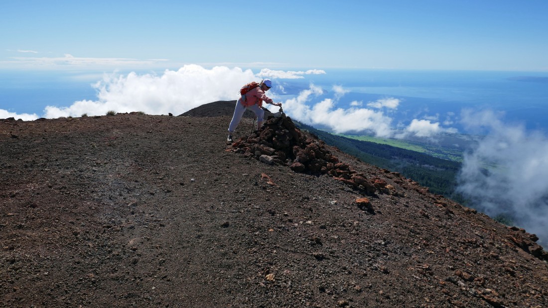
BarbE adds a pebble to the summit (8727') cairn of Kanahua.
|
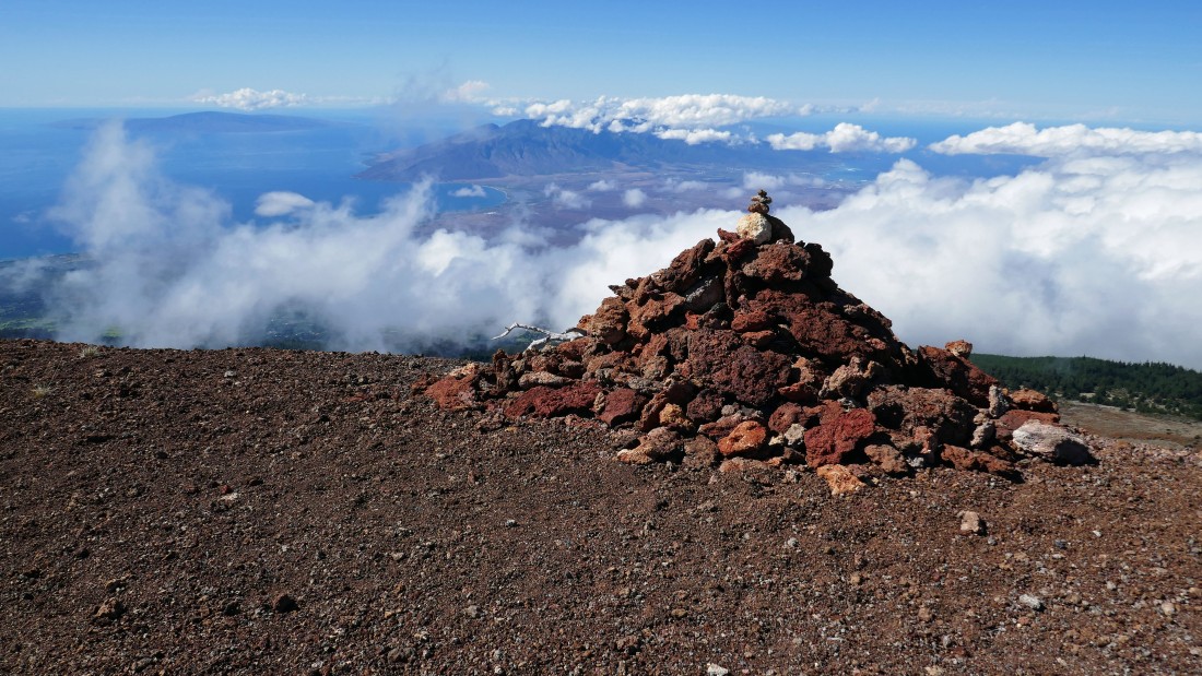
Lanai and the West Maui Mountains from the summit of Kanahua.
|
Looking NE toward the observatories near the summit of Haleakala... the big island of Hawaii is mostly in the clouds in the right-center of the photo.
|
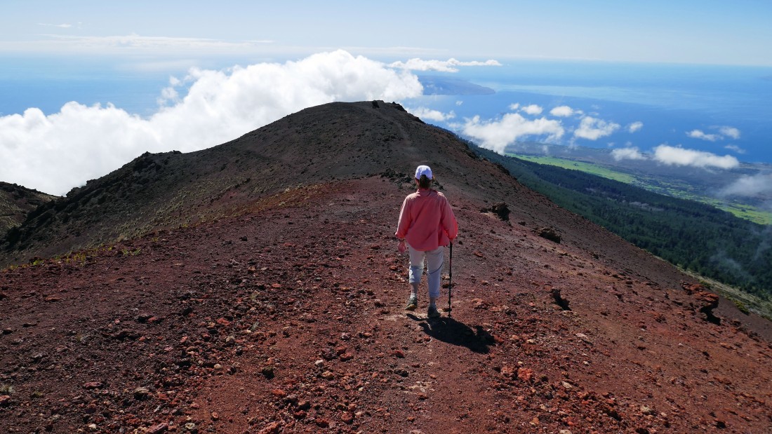
We decided to give up a little elevation and hike on out to the Kanahua Benchmark in the center of the photo.
|
BarbE heads for the Kanahua Benchmark... hiking SW toward the island of Kahoolawe.
|
At the Kanahua Benchmark (8653')... with a small piece of the big island of Hawaii on the far left... the island of Kahoolawe is in the center... and the island of Lanai and the West Maui Mountains on the far right.
|
Leaving Kanahua and more or less tracing our steps back to the car.
|
On a path looking for the Skyline Trail.
|
Back on the Skyline Trail and almost back to the car... we hiked a total of 2.4 miles, gaining 690 feet of elevation... not a bad first full day on Maui.
|
