Lanilili - 11.6.2019

The Waihee Ridge Trail is located at the end of Hwy 340 (aka Kahekili Hwy)... on the east side of the West Maui Moutains... a 45 minute drive from the town of Kihei.
|
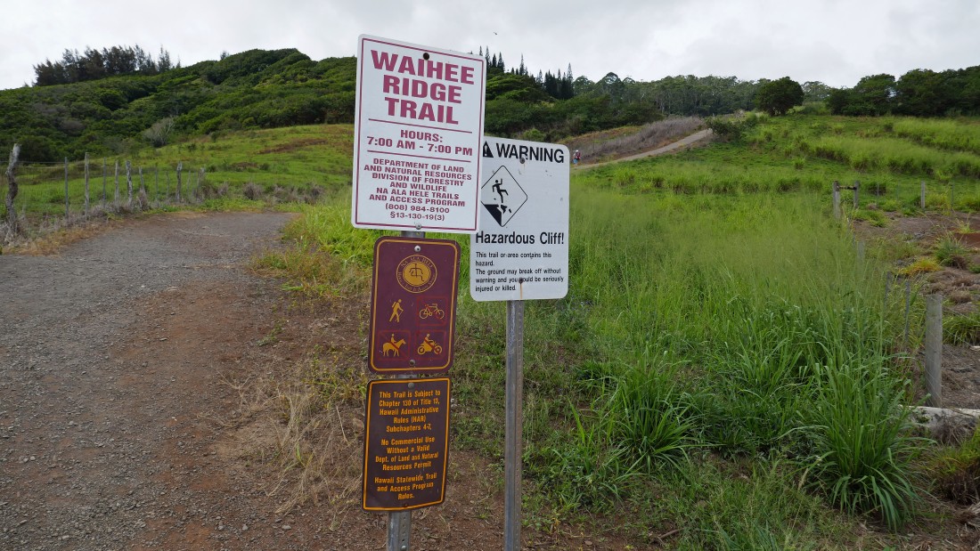
The trail heads uphill immediately from the parking lot (1080').
|
There aren't many hikes in the West Maui Mountains... every step up leads to broader views.
|
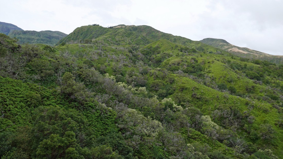
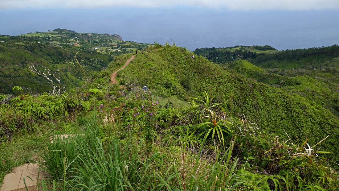
The trail will take us to the high point in the center of the photo.
|
Gaining elevation on the Waihee Ridge Trail.
|
Gaining elevation on the Waihee Ridge Trail.
|
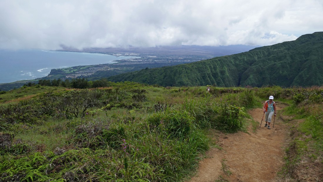
High enough now to see the town of Kihei in the distance on the right... Haleakala is visible in the clouds above the town.
|
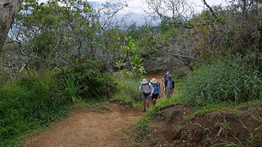
Still gaining elevation on the Waihee Ridge Trail.
|
Still gaining elevation on the Waihee Ridge Trail.
|
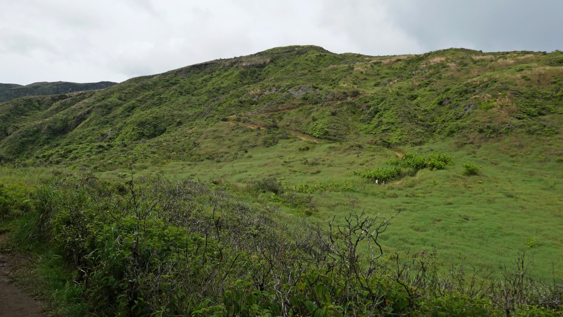
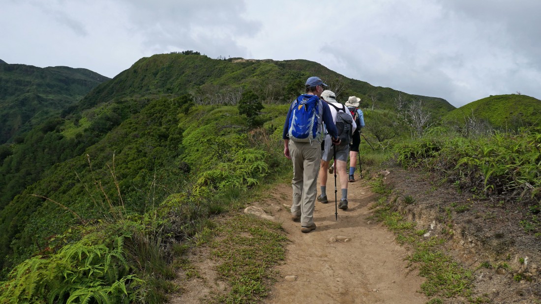
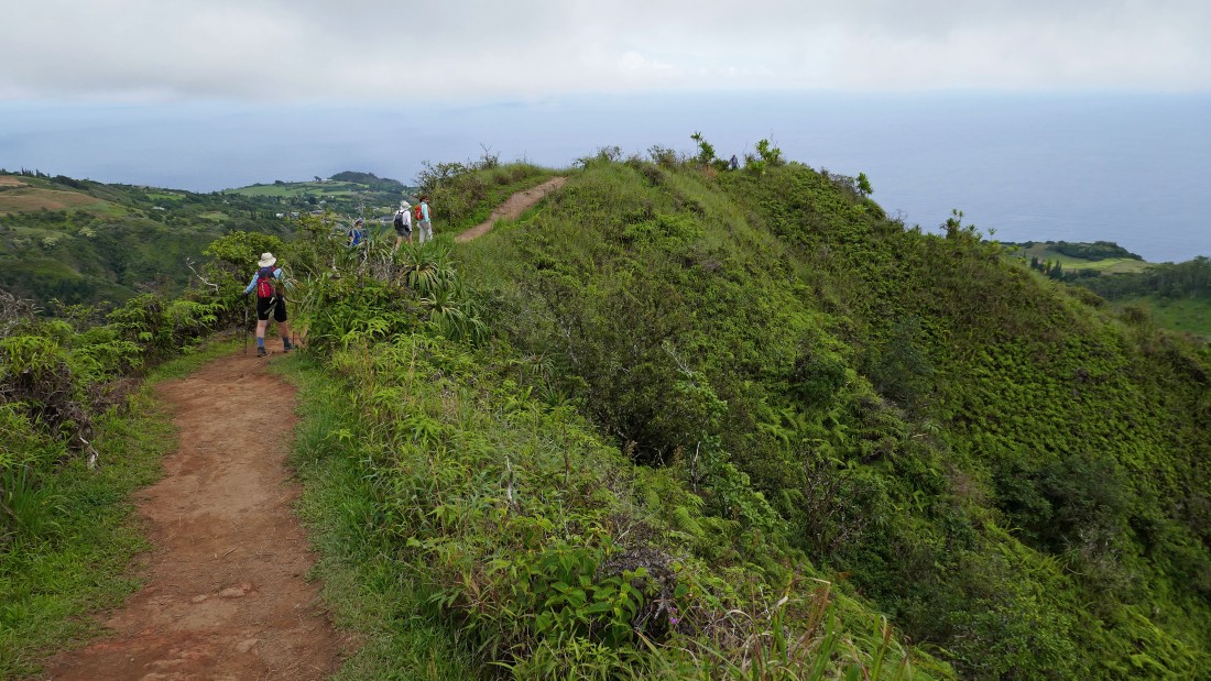
We still have some elevation left to reach the summit of Lanilili above.
|
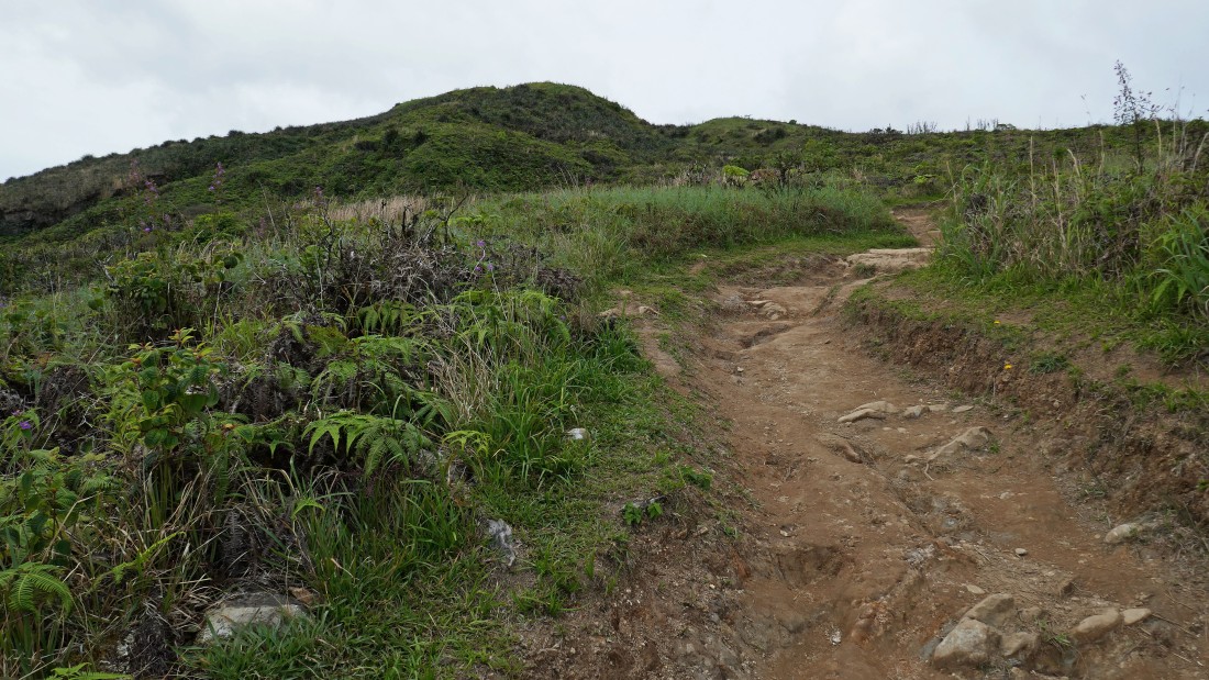
Getting closer to our target.
|
We can still see the town of Kihei... but the clouds are blocking our view of Haleakala.
|
On the summit (2563') of Lanilili... looking up at the highest point of the West Maui Mountains.
|
A pano shot from near the summit of Lanilili... looking down Waihee Valley on the right that runs down to the ocean.
|
Heading back to the car... our hike was a total of 4.3 miles gaining 1900 feet of elevation.
|
