Hoapili Trail - 11.9.2019
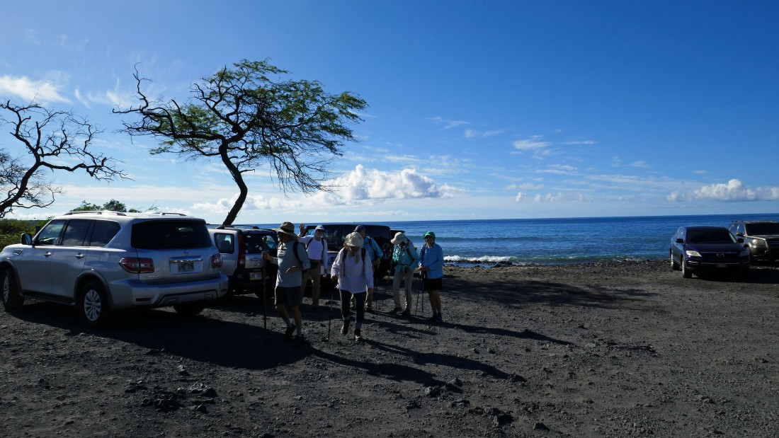
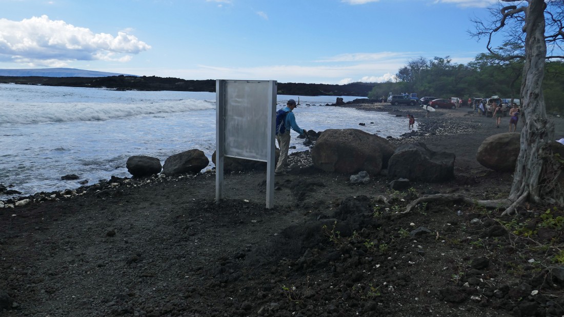
We parked at the end of Makena Road at the south end of Maui... where we found a very beautiful La Perouse Bay and the trailhead for the Hoapili Trail... also known as the King's Highway.
|
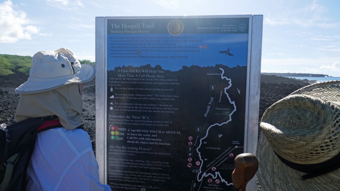
Info on the Hoapili Trail.
|

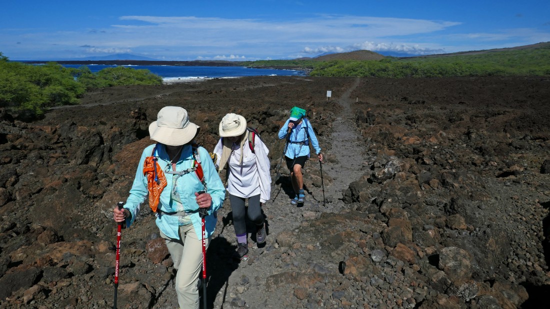
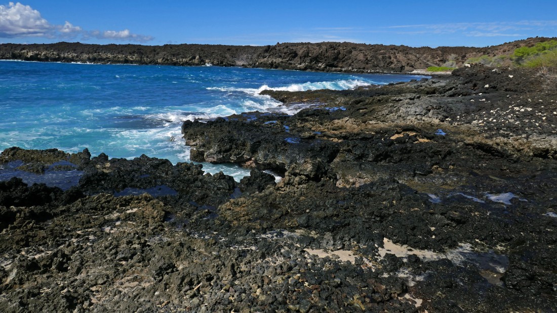
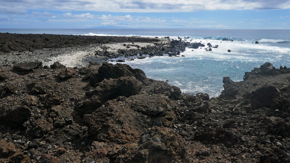
The Hoapili Trail offers beautiful views right from the beginning.
|

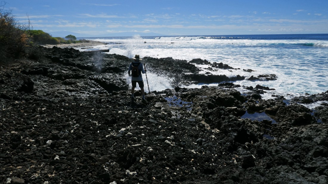
Ranger Steve exploring along the Hoapili Trail.
|
A pano shot taken along the Hoapili Trail... the island of Kahoolawe is out there in the distance on the right.
|
|
Another pano with Kahoolawe in the center of the photo.
|
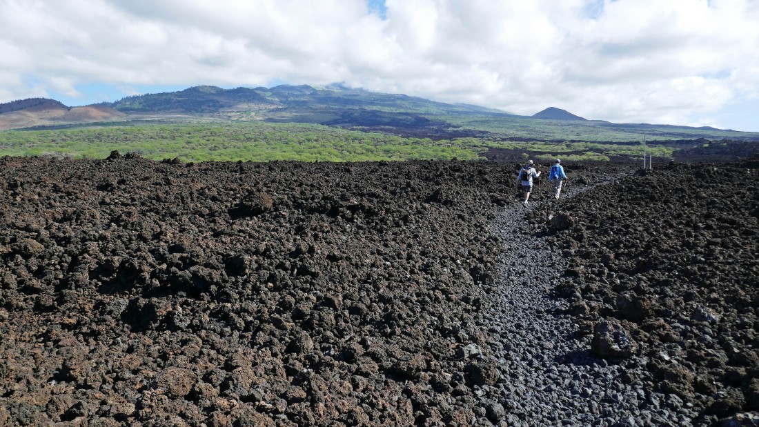
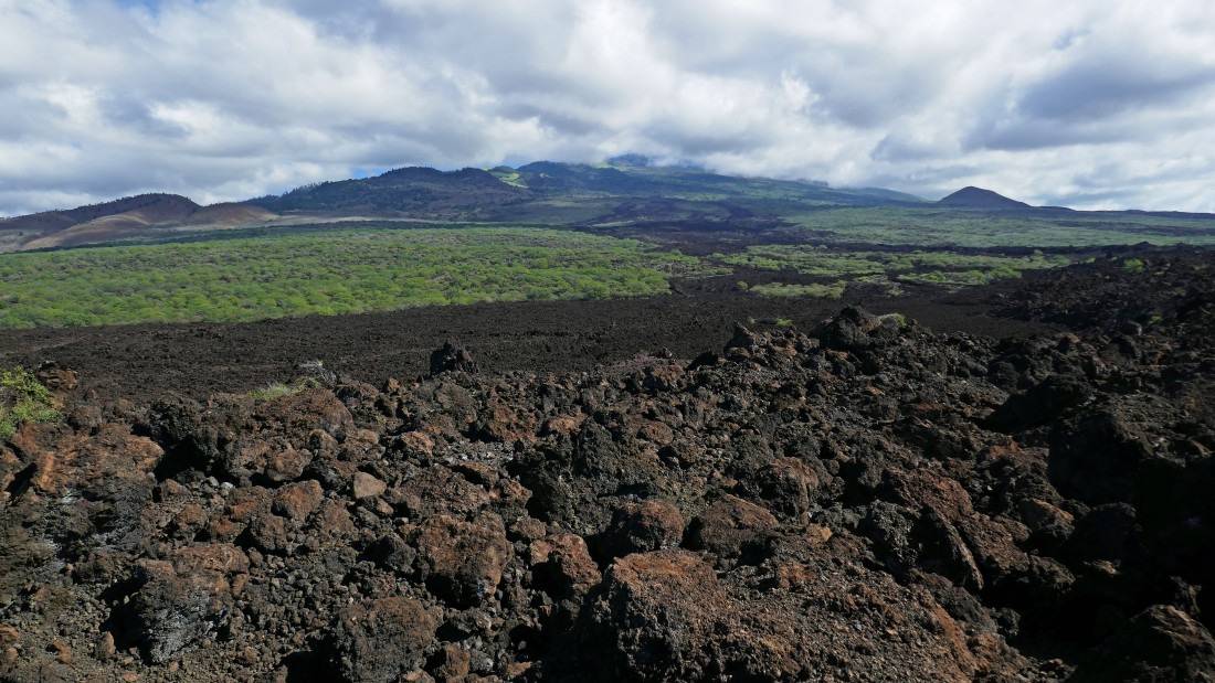
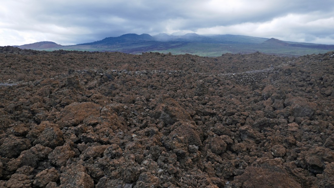
After hiking less than a mile the trail leaves the ocean and heads inland a bit... hard to believe that at one time the King's Highway wrapped 220 miles around the entire island... Haleakala is up there in the clouds.
|

More info on the King's Highway... the sign says it is 2 miles to Kanaio Beach... actually it was more like 1.5 miles... unless we didn't actually get to Kanaio Beach.
|
Hiking the King's Highway with La Perouse Bay (where we parked) in the distance.
|
Looking up at Haleakala from the King's Highway.
|
A side trail that heads over to several palm trees... maybe I will check it out on the way back if time permits.
|

rocman on the King's Highway... we are getting close to Kanaio Beach.
|
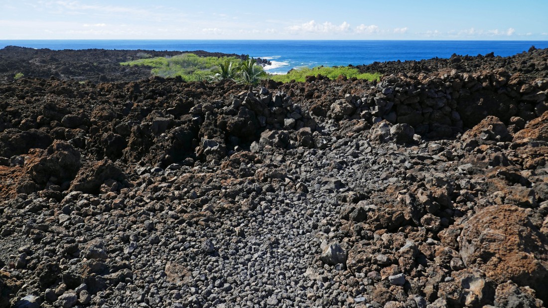
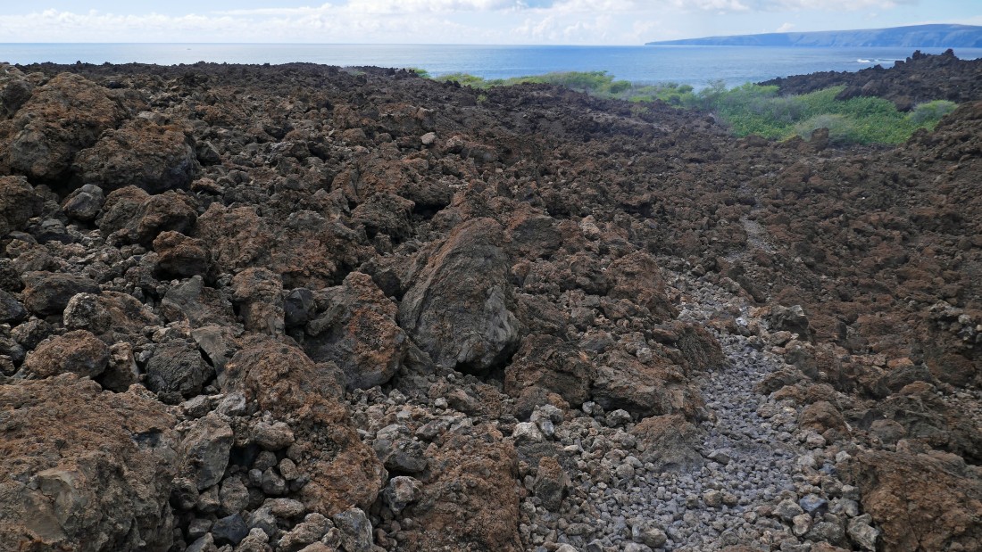
Giving up a little elevation to get down to Kanaio Beach.
|

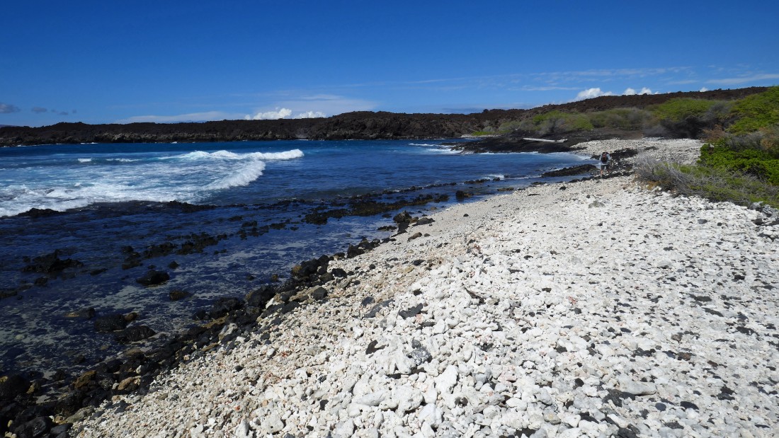
At Kanaio Beach... as other members of our group come down from the lava beds to join me on the beach.
|
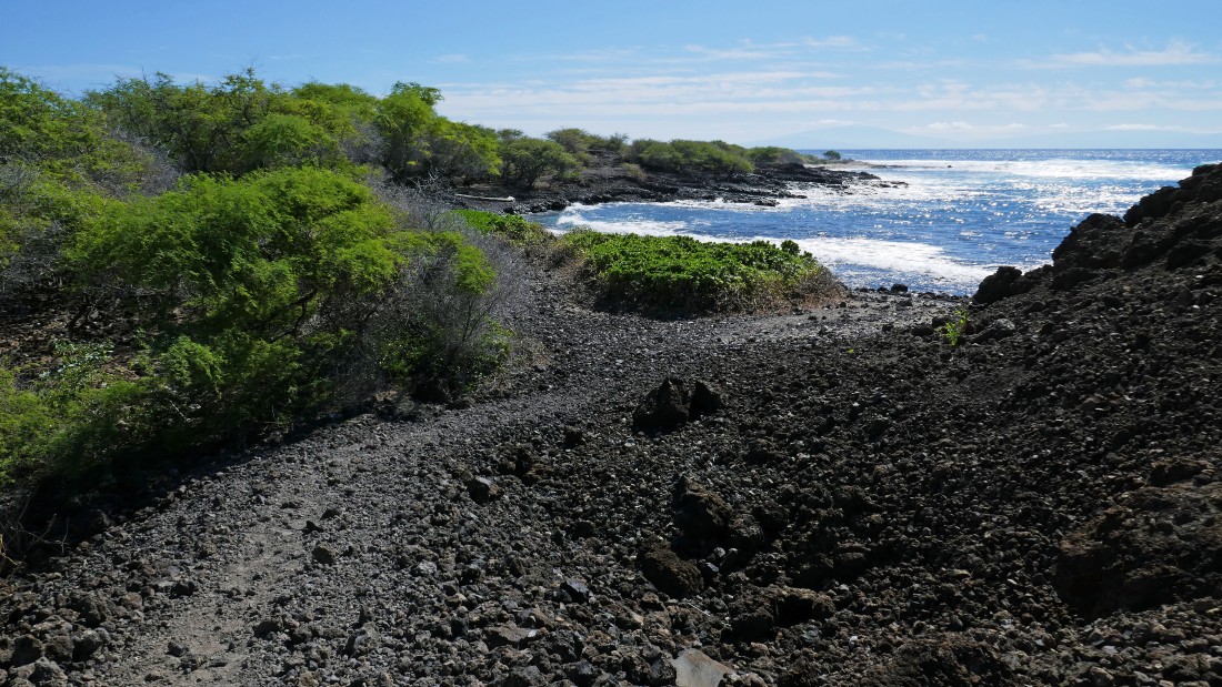
Hiking along the Kanaio Beach area... here looking back at where we came down to the beach from the lava beds.
|
Ranger Steve at Kanaio Beach... getting ready to take a shower.
|
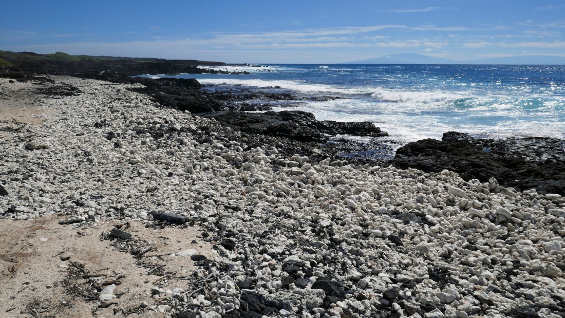
Continuing along Kanaio Beach... looking back to where we came down from the lava beds on the right.
|
Continuing along Kanaio Beach... looking back to where we came down from the lava beds in the right-center of the photo.
|
I'm going to keep heading along the beach a bit more.
|

I have turned around and will head back to join the others.
|
|
On my way back to join the others... but I took one more look back at where I turned around.
|
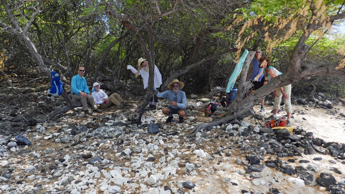
I found the others relaxing in the shade... left to right... tomman, rocman, Bear Belle, Ranger Steve, Denali Girl and BarbE.
|
We decided to hang out for more than an hour where the previous photo was taken... and this was our view.
|
We have left Kanaio Beach and traced our steps back to that side trail that goes over toward those palm trees... I'm going to check it out.
|
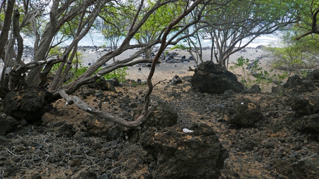
I have continued beyond the palm trees and have come to a little beach.
|

I have hiked across the little beach and will continue on the trail.
|
I will leave this little beach and continue on the trail as it takes me back up onto the lava beds.
|
Continuing on the trail... looking out to Kahoolawe in the center of the photo.
|
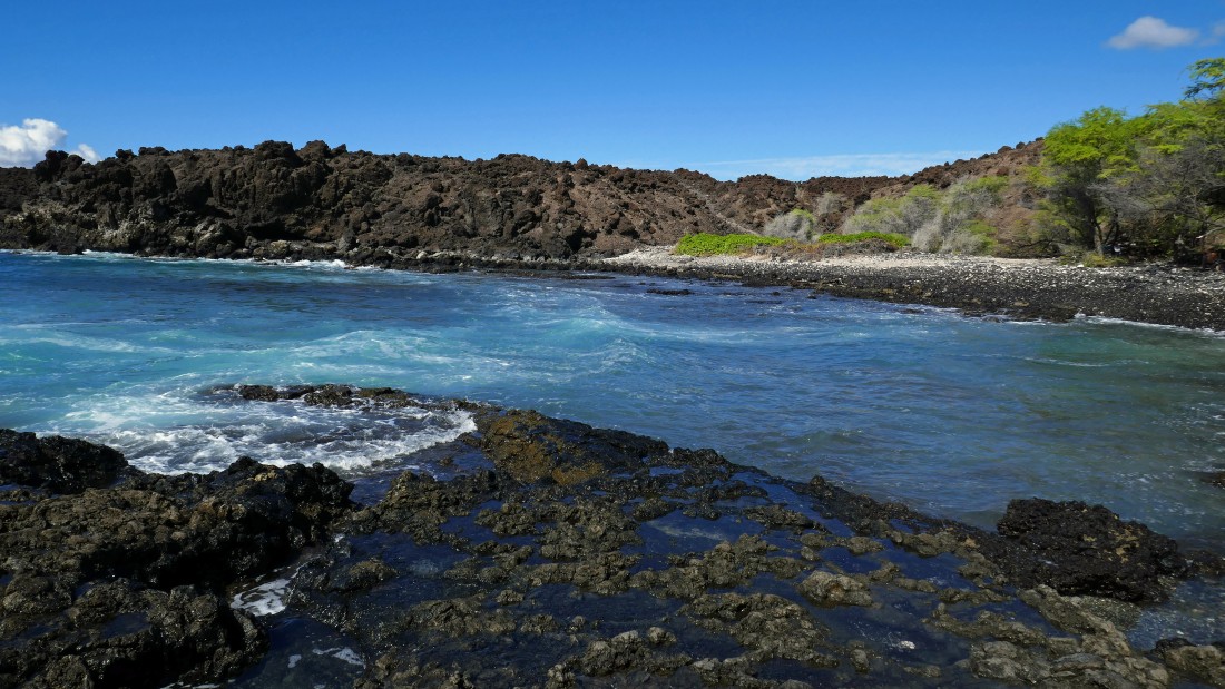
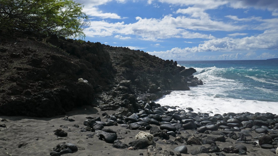
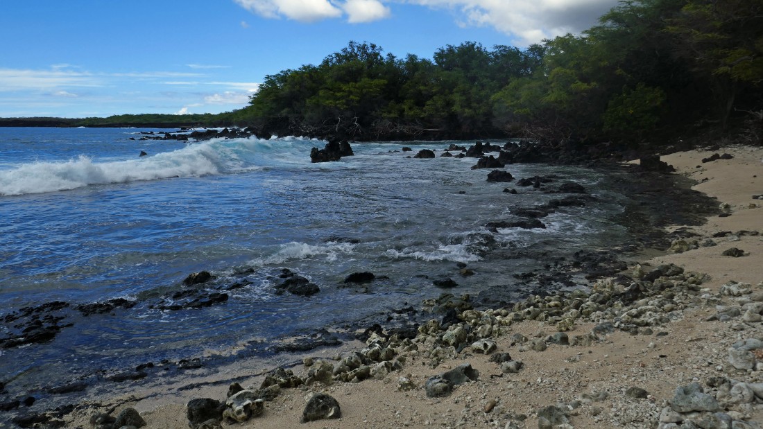
I found out later that this is Kamanamana Beach... beautiful.
|
Hiking in the Kamanamana Beach area.
|
|
I've turned around and will trace my steps back to the King's Highway.
|
The King's Highway is running across the middle of the photo... with Haleakala above.
|
Back on the King's Highway and heading for the car... the island of Kahoolawe is in the distance on the left... with the island of Lanai in the center... and the West Maui Mountains on the right... it's hard to see but the tiny island of Molokini is barely visible in front of Lanai.
|
Almost back to our car at La Perouse Bay.
|
Back at La Perouse Bay... the hike was a total of 5.6 miles, gaining 344 feet of elevation.
|
