Skyline Trail - 11.15.2019
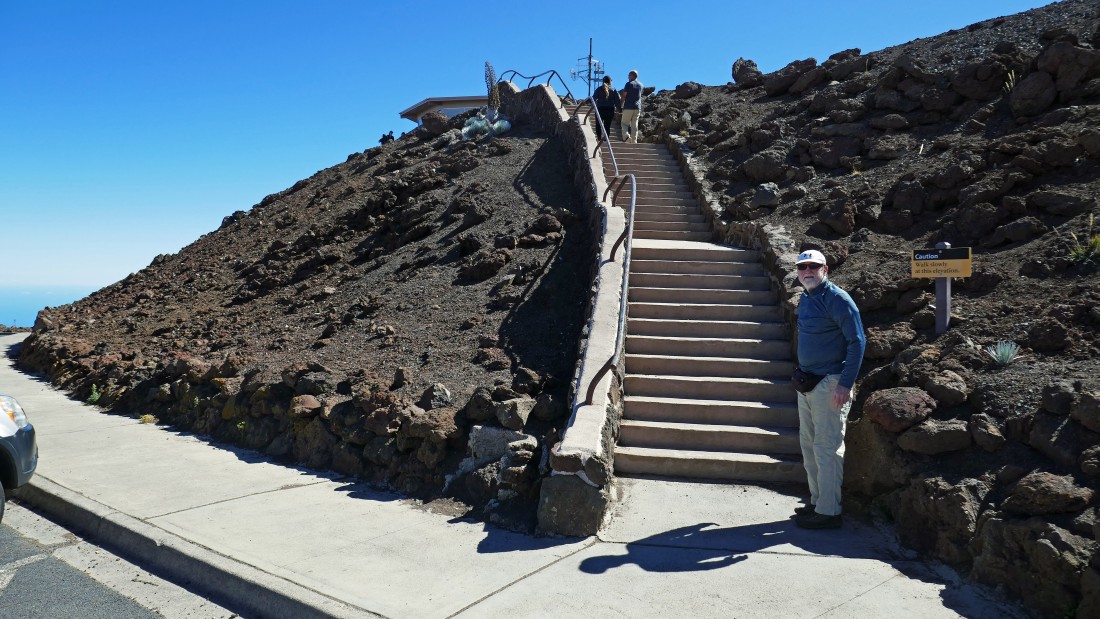
We began the day by driving to within 40 feet of the Haleakala summit (10,023')... rocman is getting ready to hike up the steps to the true summit.
|
From the Haleakala summit we are looking NE at the Visitor Center on the far left... and into Haleakala's crater in the center of the photo... after enjoying the summit for awhile we will drive back down and turn right at the intersection on the far right.
|
We are looking SW from the Haleakala summit to the observatories... when we leave the summit area we will drive down to the intersection below and park at the gated road leading off to the left.
|
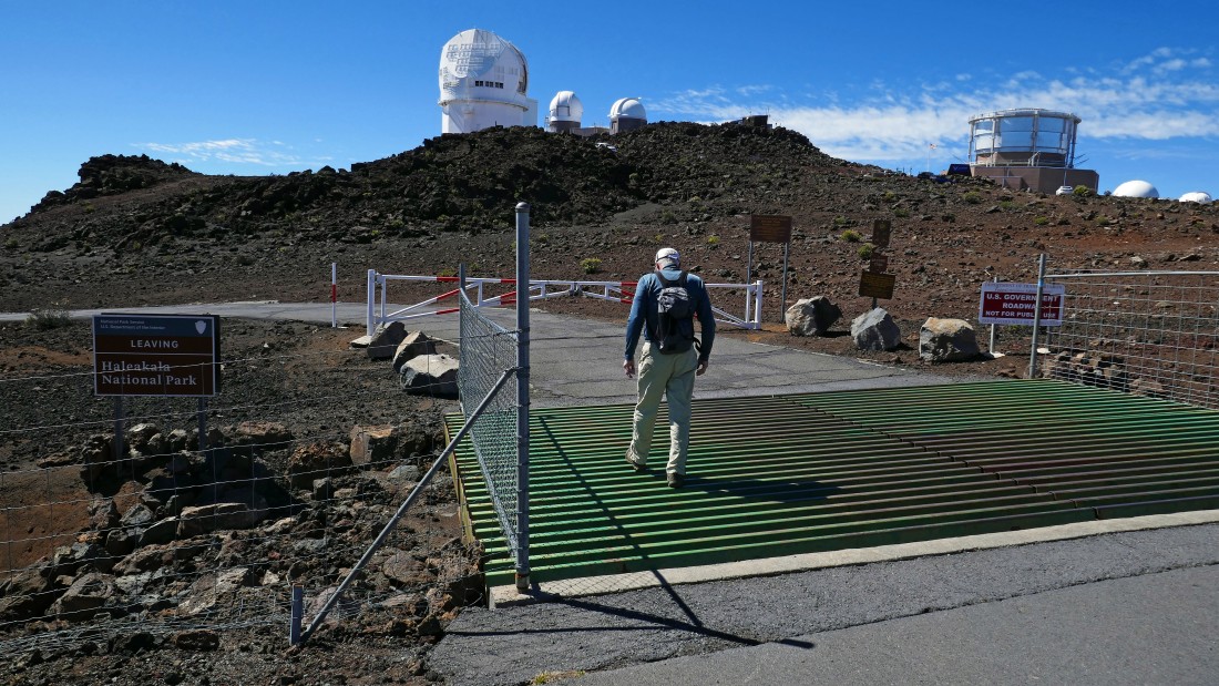
rocman starts hiking down the road that leads to the official Skyline Trailhead... the sign to the left of rocman says we are leaving Haleakala National Park.
|
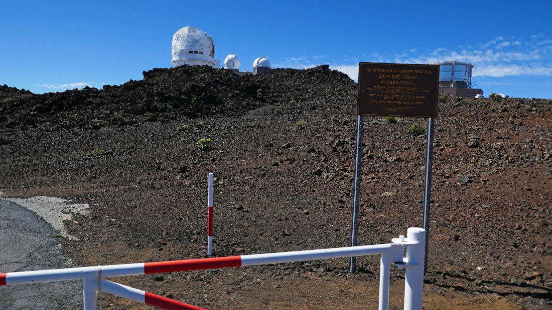
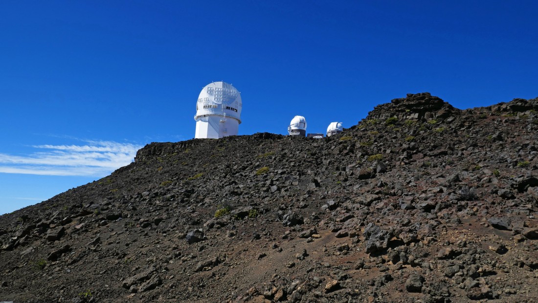
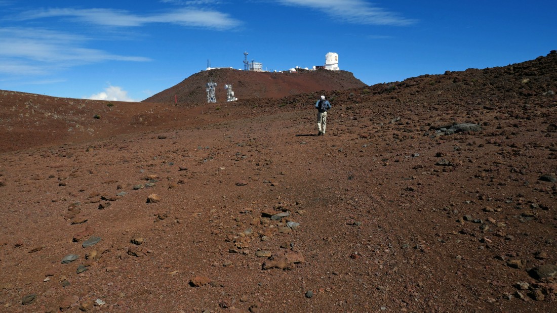
The observatories from the gated Skyline Trail road.
|
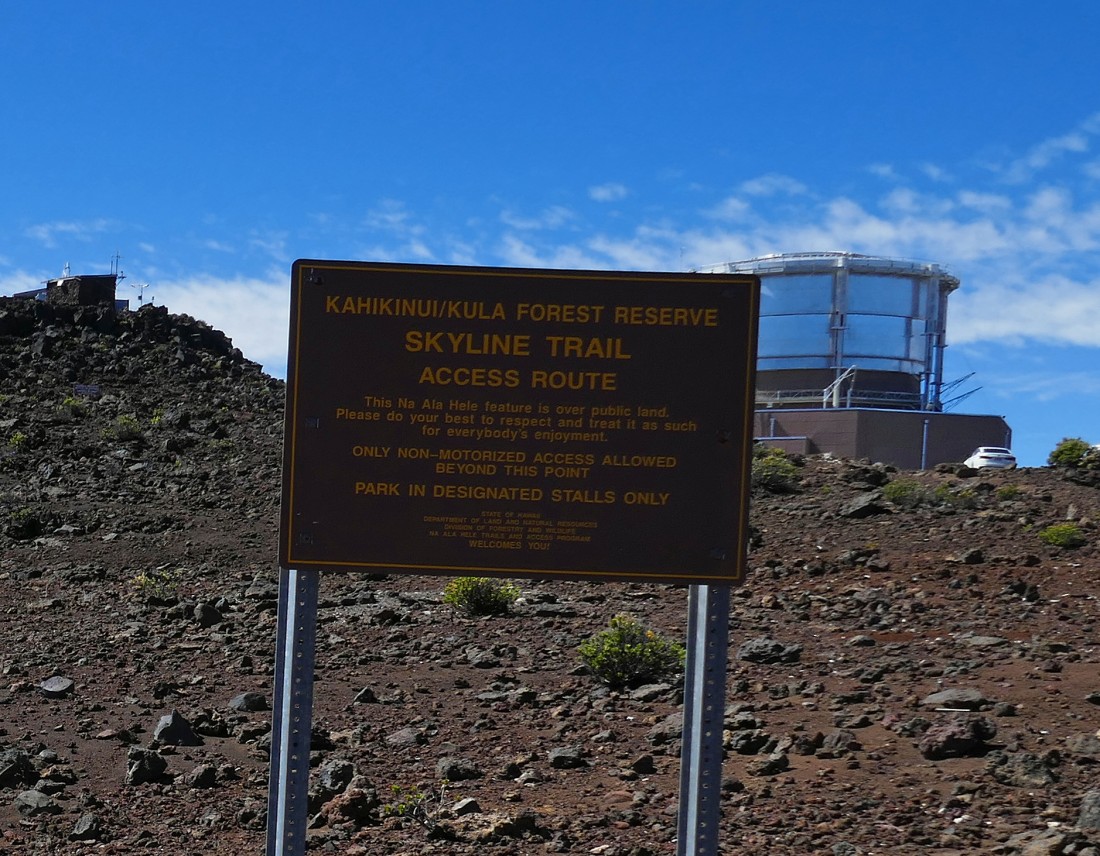
A closer look at the sign where the road is gated... while maps show this as being the start of the Skyline Trail, the sign says it is the 'access' to the Skyline Trail... regardless, the views are outstanding.
|
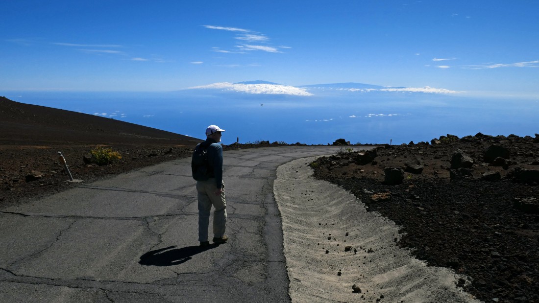
Hiking the Skyline Trail... with the big island of Hawaii in the distance... we are at 9800 feet... the big island has two summits above 13,000 feet.
|
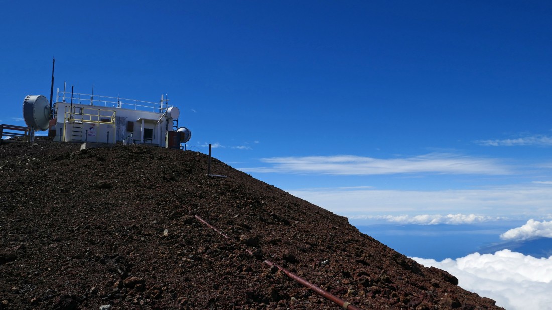
Giving up some elevation on the Skyline Trail road and looking up at the observatories.
|
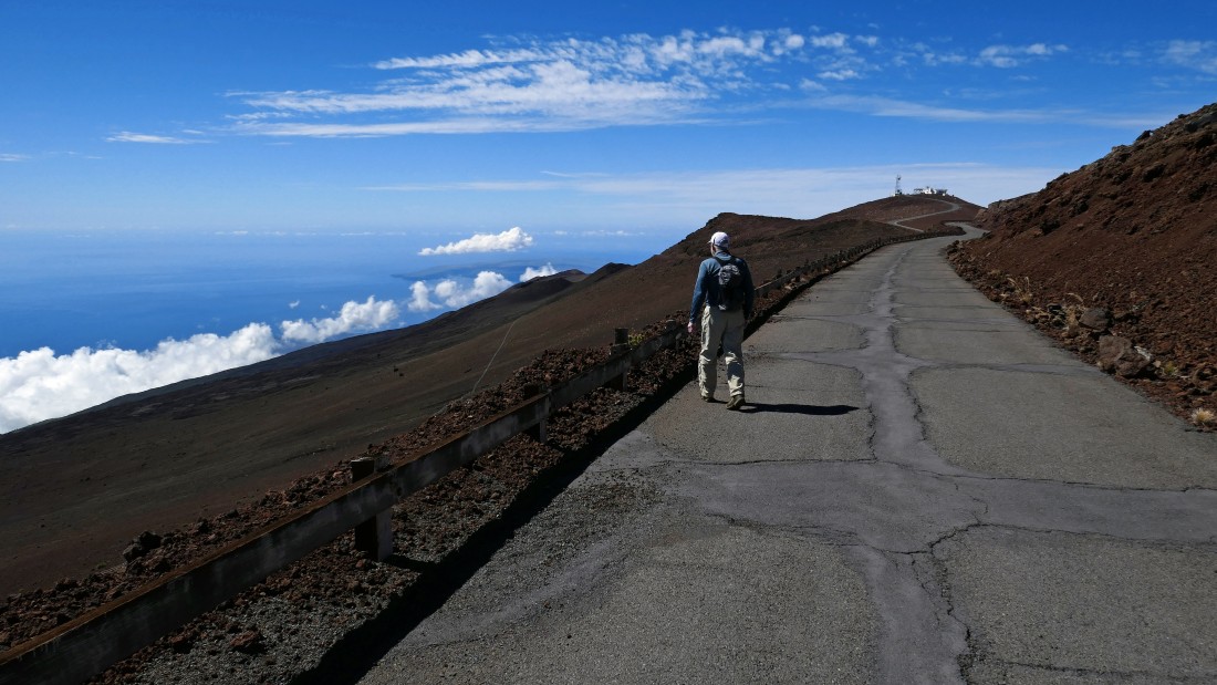
Continuing down the Skyline Trail... we can see some radio towers in the distance on the right... and part of the island of Kahoolawe in the center of the photo.
|
Lots of radio towers.
|
|
Nearing what looks like a trail sign.
|
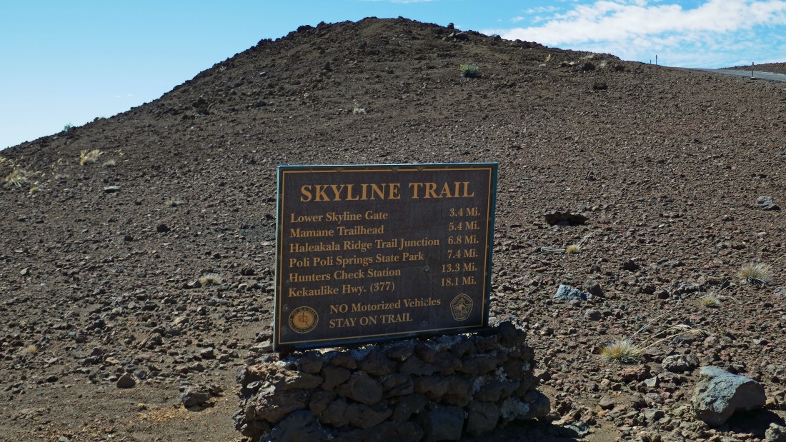
A closer look at the trail sign... so I suppose the Skyline Trail starts here officially... 10 days earlier we had driven to the Lower Skyline Gate and made the short hike to the summit of Kanahua.
|
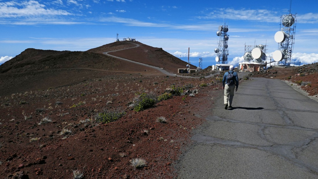
We decided to hike the road up to some of the radio towers... the West Maui Mountains are in the distance on the far right.
|
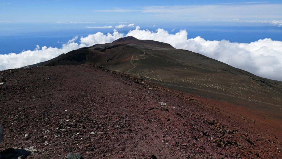
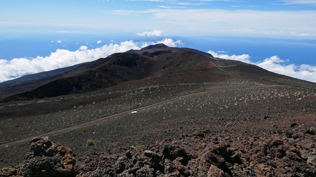
Looking SW from the radio towers... we can see the Skyline Trail (or is it a dirt road) as it goes down to the bump at the top of the photo... the bump is named Kanahau... and we hiked up to its summit 10 days ago.
|
We left the radio towers and hiked out to a view point a short distance away.
|
|
From our viewpoint we are looking SE to the big island of Hawaii.
|
The radio towers on the right... with Kanahau in the distance on the left in front of the clouds... and the island of Kahoolawe beyond the clouds on the left.
|
Kanahau and Kahoolawe.
|
Time to hike back toward the observatories and our car.
|
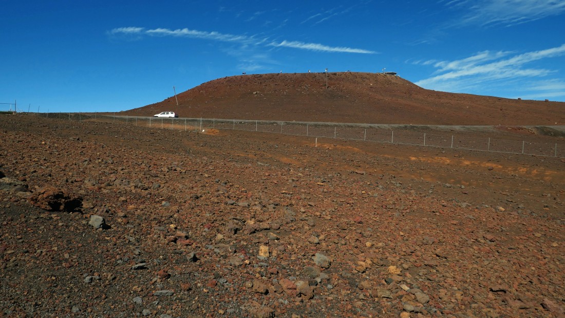
Almost back to our car... with the Haleakala summit above... the hike was a total of 2.3 miles, gaining 412 feet of elevation.
|
