Hexahedron Mine, Point 3638 and Point 4011 - 1.24.2020
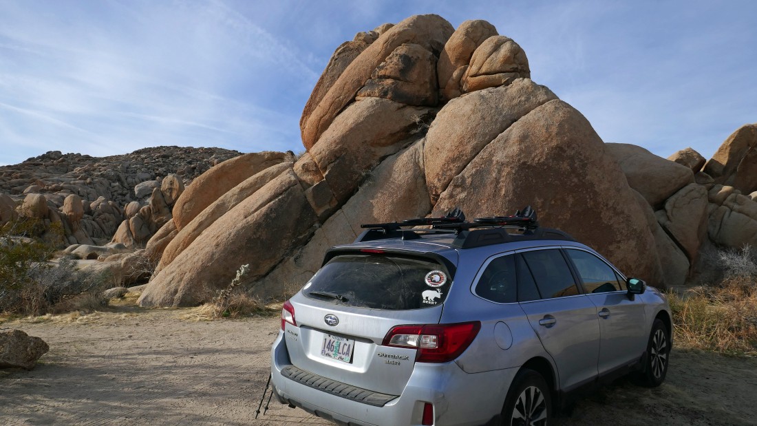
We parked at the end of the Stirrup Tank Road in Joshua Tree National Park... use the north entrance to the park and find the 1.5 mile unpaved road off of the paved Pinto Basin Road... located just south of the White Tank Campground.
|
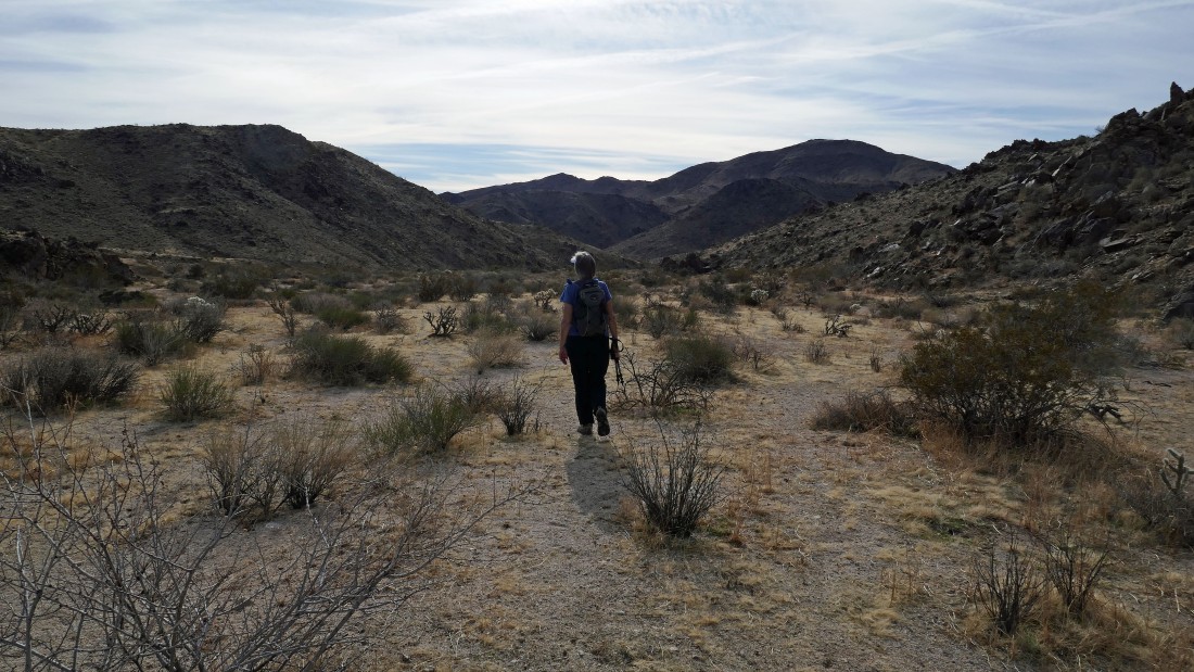
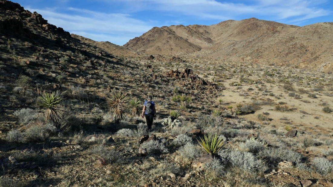
We started hiking SE in the only obvious large wash.
|
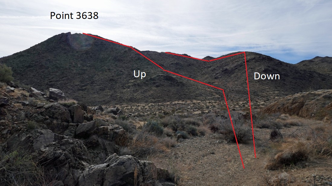
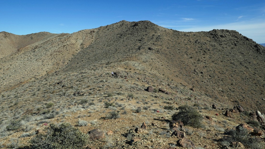
After hiking more than a mile we could see Point 3638. Having no beta on this hike, I had plotted today's route by making GPS waypoints on my GAIA App... so all we had to do was connect the dots.
|
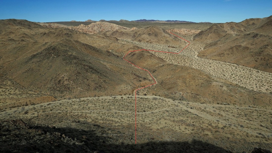
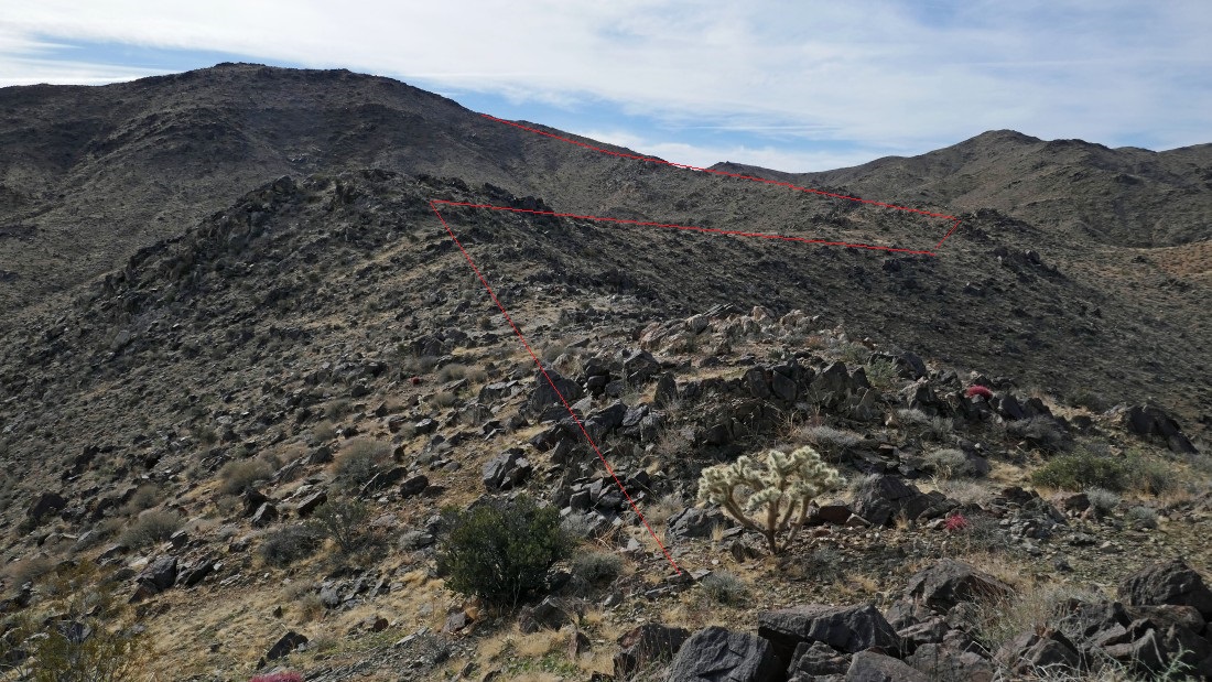
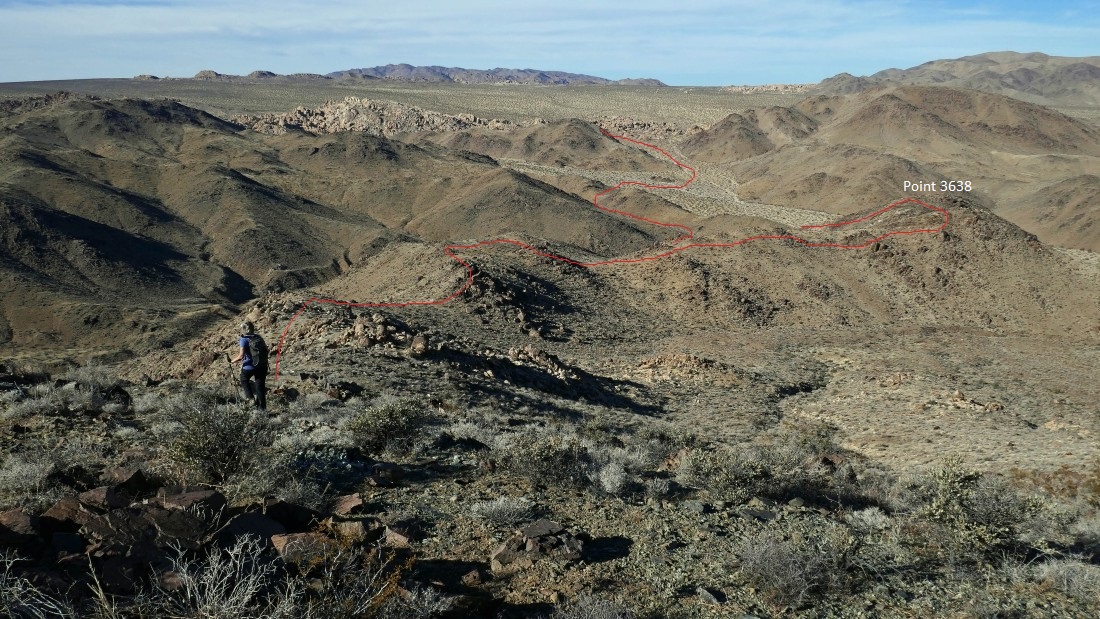
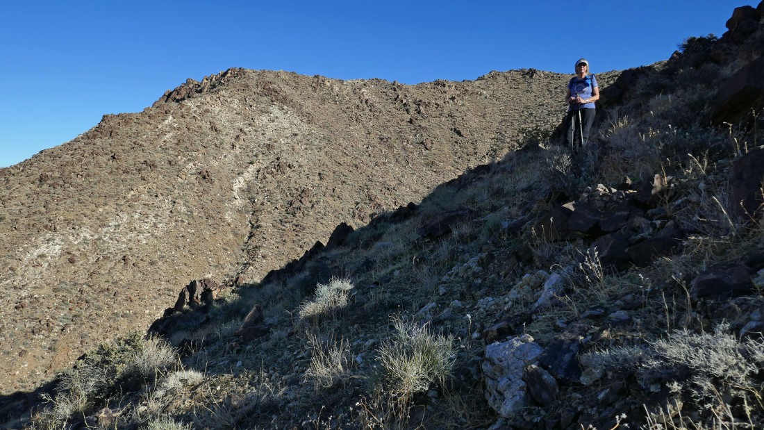
From Point 3638 I am looking back at the route we used to get here from where we parked.
|
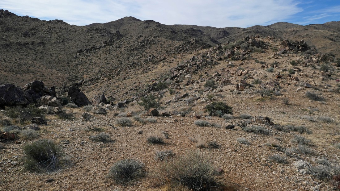
On top of Point 3638... pretty barren... we will try to hold the high ground along the ridge... connecting the waypoints on my GPS.
|
|
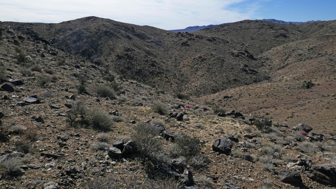
Continuing south along the ridge... here looking back at where we came from... we are hiking in the Hexie Mountains... Queen Mountain is on the horizon in the center of the photo... with the Pinto Mountains on the right horizon.
|
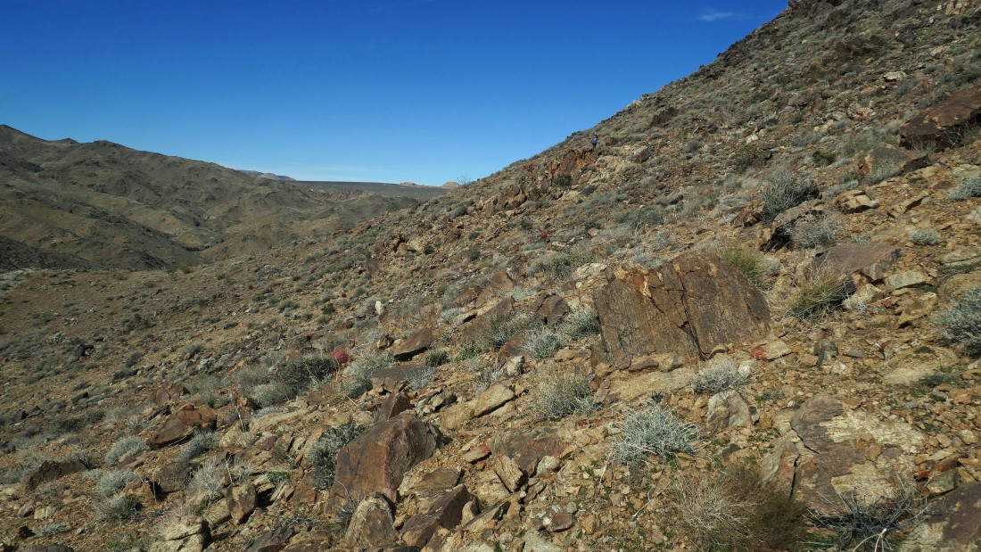
Continuing south on the ridge.
|
Looking back as we continue south.
|
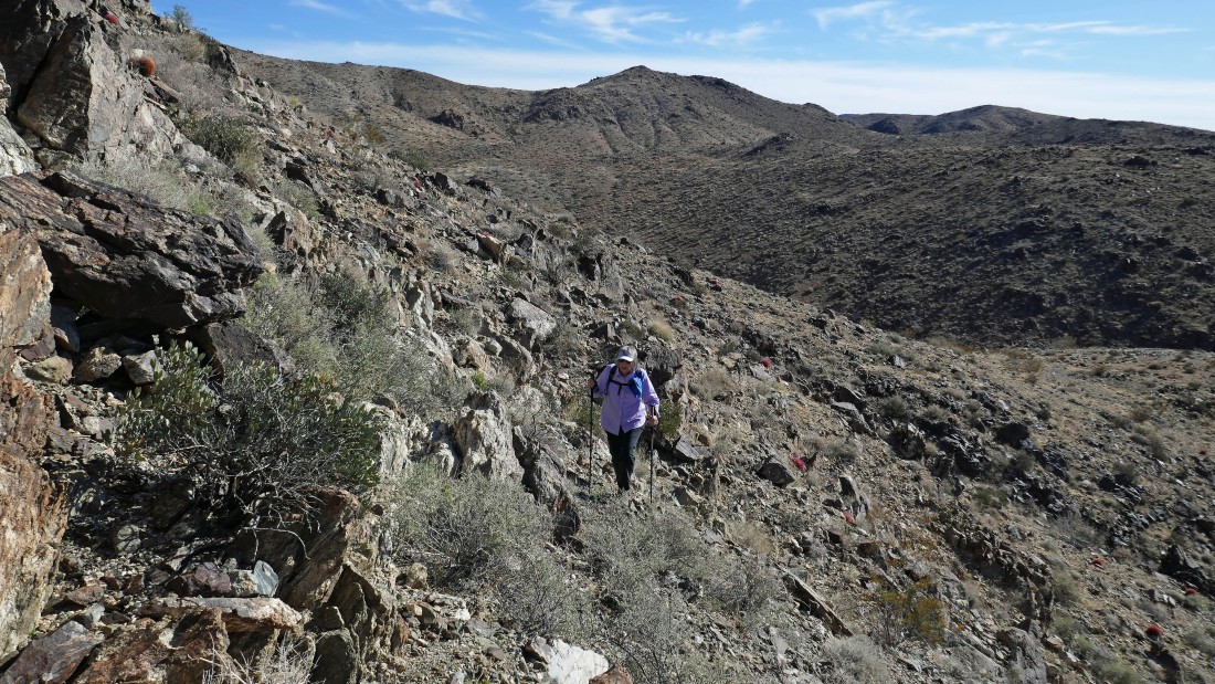
Denali Girl traversing along the side of one of the bumps on the ridge... saving elevation gain where possible... find her if you can.
|
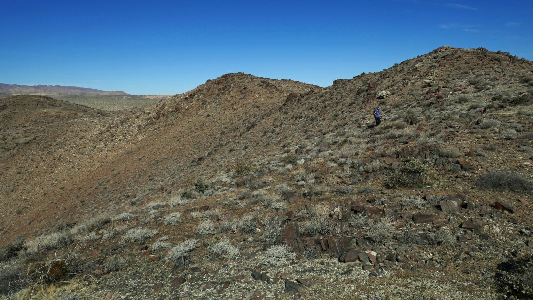
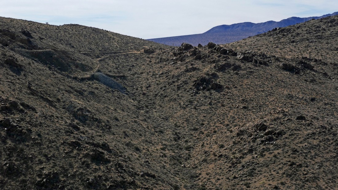
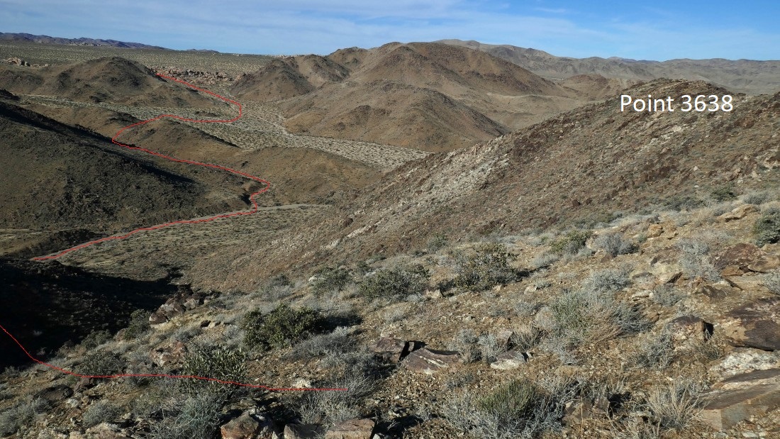
We will cross over Point 4011 in the foreground and then continue along the ridge in the center of the photo... we will be able to see the Hexahedron Mine off in the distance from that part of the ridge.
|
Denali Girl coming down from Point 4011.
|
We can see the mine just below the ridge in the center of the photo.
|
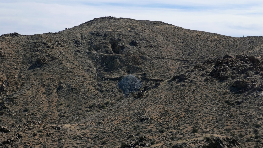
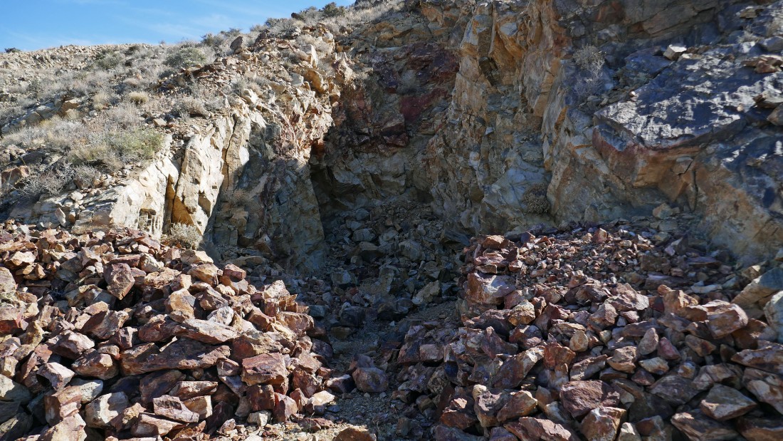
A closer look at the Hexahedron Mine... you can see the tailings (light gray pile of ore waste) just below one of the mines.
|
I'm continuing along the ridge... getting a better angle on the mine... working my way around to save elevation gain.
|
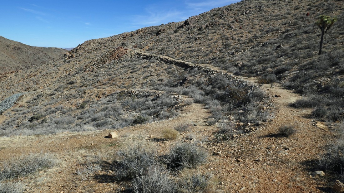
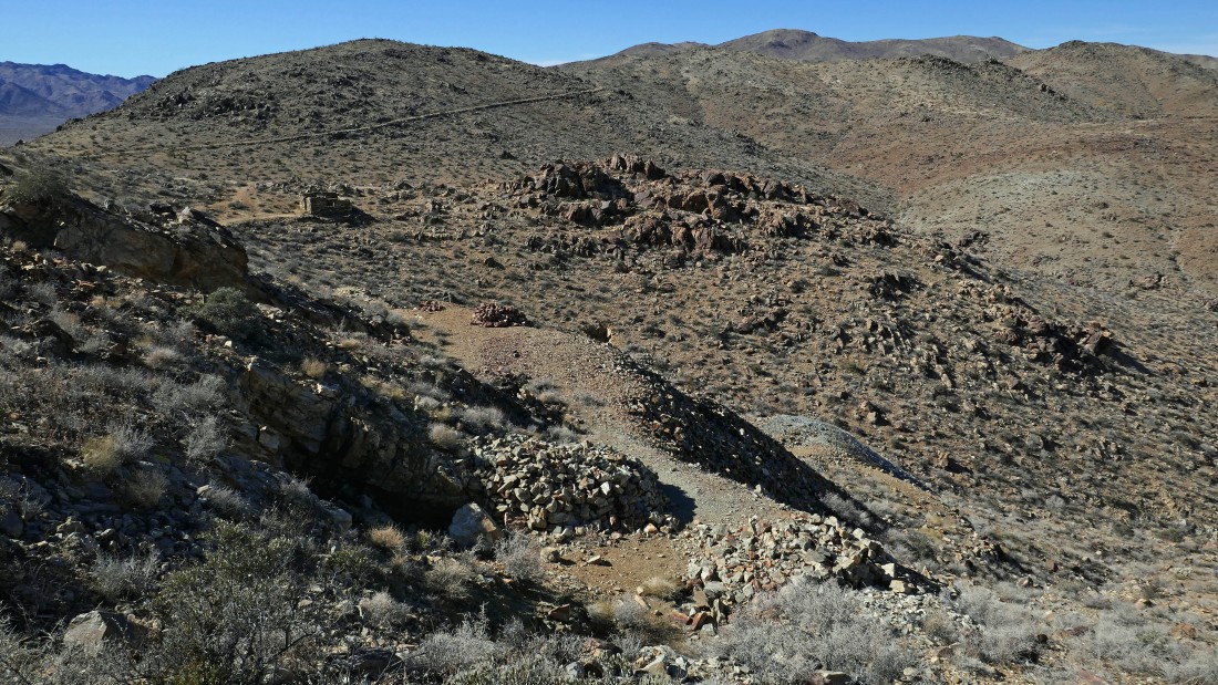
I've found the old abandoned road that comes here via the main route from Pleasant Valley... now I will follow it over to the mine.
|
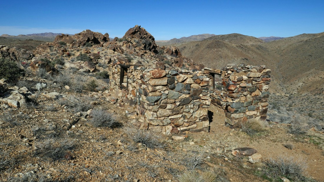
An old house... just a stone's throw from the mining operation.
|
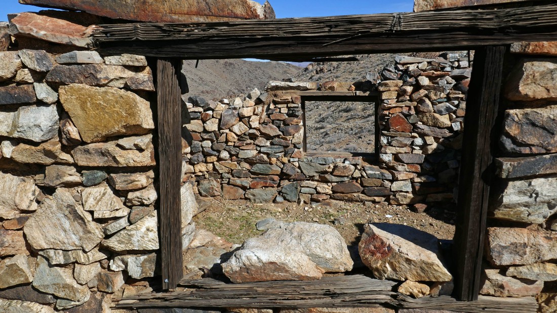
Looking in the house.
|
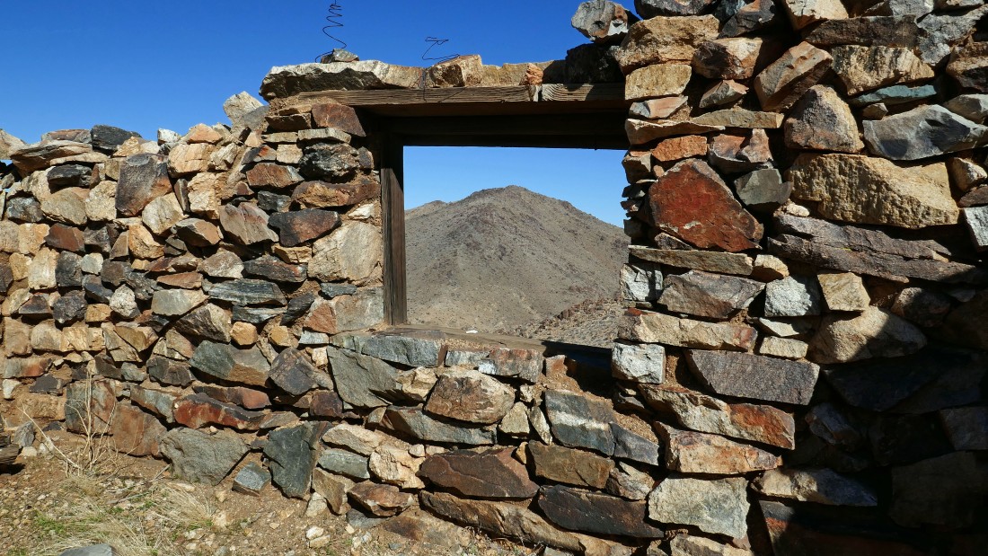
A photo from inside the house... hope it doesn't rain.
|
I'm at the house... the high road goes over to the main operation... while the low road goes down to a single mine shaft... I will go to the main operation and stop by the single shaft on my way out.
|
Some of the mine shafts were already filled to the top.
|
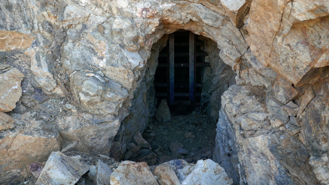
Some shafts were gated... I'll need to lose a little weight to enter.
|
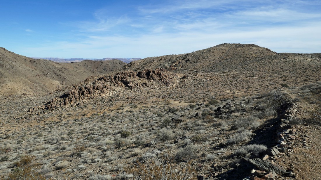
Looking down on the mine... I'm on my way to the high point just above the mine... looking for some broad views... in the distance you can see the old road coming in from Pleasant Valley.
|
Looking north from the high point above the mine... Queen Mountain is on the center horizon... we are parked at the light colored boulders just below Queen Mountain in the photo... the Pinto Mountains are on the right horizon.
|
Looking east to south from the high point above the mine... the Pinto Mountains and Pinto Basin are on the left... with the Hexie Mountains in the center of the photo... with a very small portion of Pleasant Valley sneaking into the photo from the right.
|
Looking SW to NW from the high point above the mine... Pleasant Valley dominates... with the Little San Bernardino Mountains on the far horizon... and the Hexie Mountains in the right foreground.
|
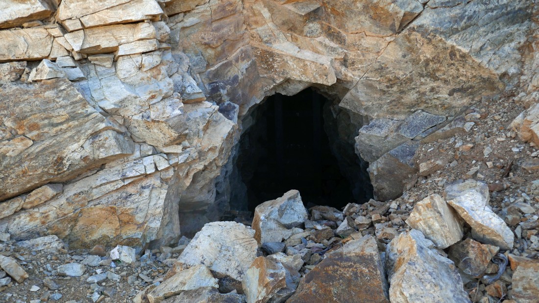
The single mine shaft at the bottom of the mining operation.
|

Looking back at the mining operation as I head back to hook up with Denali Girl where she is waiting for me at the 3 mile mark.
|
Denali Girl is waiting for me at the saddle on the south side of Point 4011.
|
Denali Girl nears the summit of Point 4011... Pinto Basin dominates in the center of the photo... with the Pinto Mountains on the left... and Hexie Mountains on the right.
|
Denali Girl traverses underneath a bump... the ridge in the distance on the left is where we were first able to see the Hexahedron Mine.
|
Our route back to the car... on the way in we touched Point 3638... but on the way back we will drop down to the wash a bit sooner.
|
Starting down before we get back to Point 3638... the terrain was a bit easier here.
|
Denali Girl descends from the ridge to the wash... Point 3638 is in the distance on the left.
|
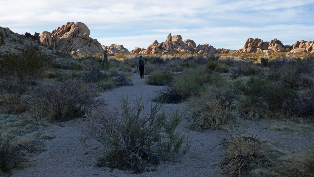
Back in the wash... on our way to the car.
|
Almost back to our car at the end of Stirrup Tank Road... our trip was 8 miles, gaining 2115 feet of elevation.
|
