Joshua Mountain, Point 3899 and Point 4468 - 1.31.2020
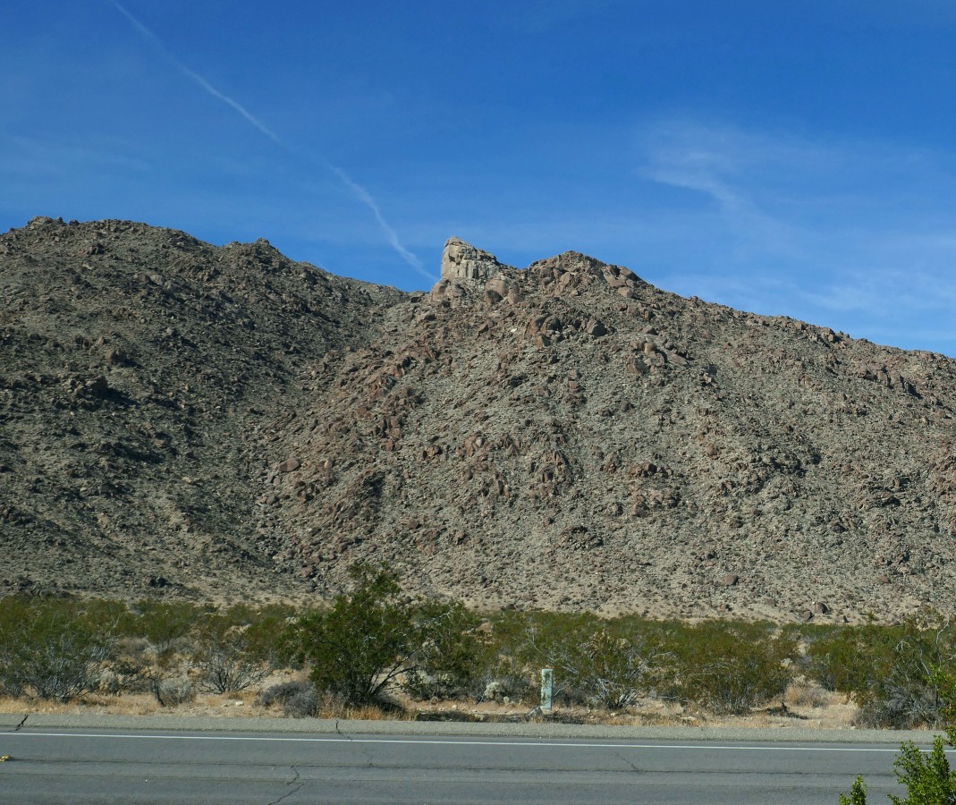
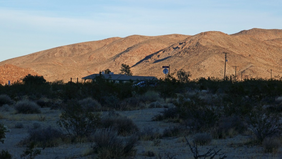
From the Park Headquarters in the town of Twentynine Palms... drive Utah Trail (it is a road) 2.5 miles and park on the side of the road.. this is just outside the park boundary... Joshua Mountain (aka Indian Head) is on the horizon.
|
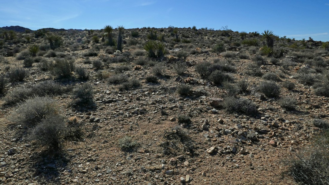
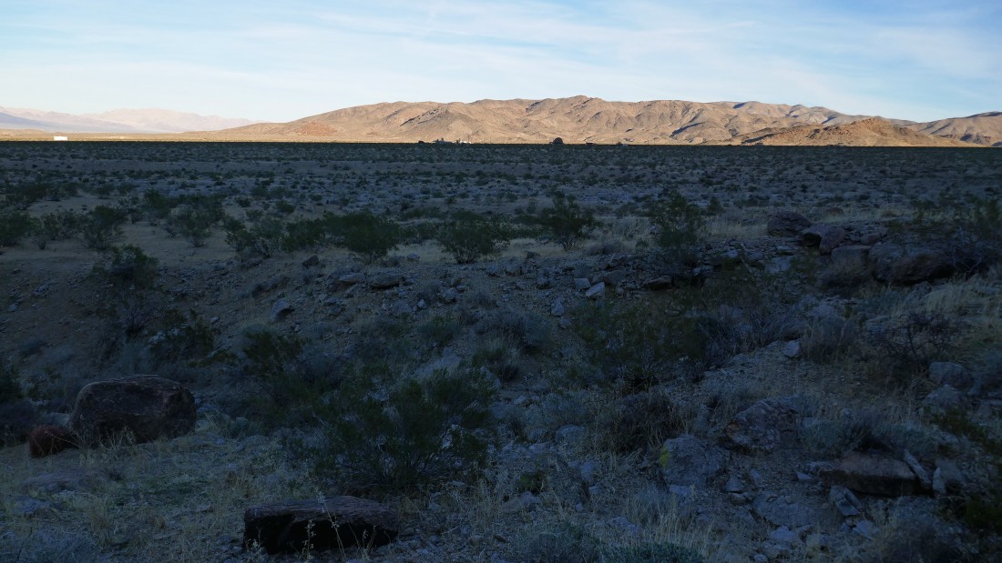
It is a half-mile hike across the desert from where we parked to the beginning of the uphill portion of the hike.
|
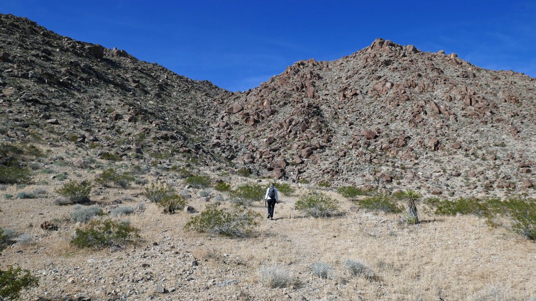
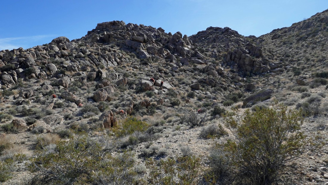
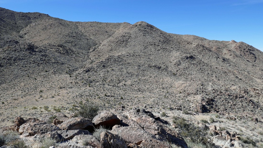
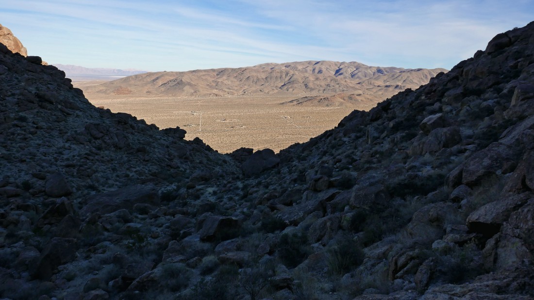
On the cairned path that will take us up the gully to the base of Joshua Mountain... Twentynine Palms Mountain is on the horizon in the middle of the photo.
|
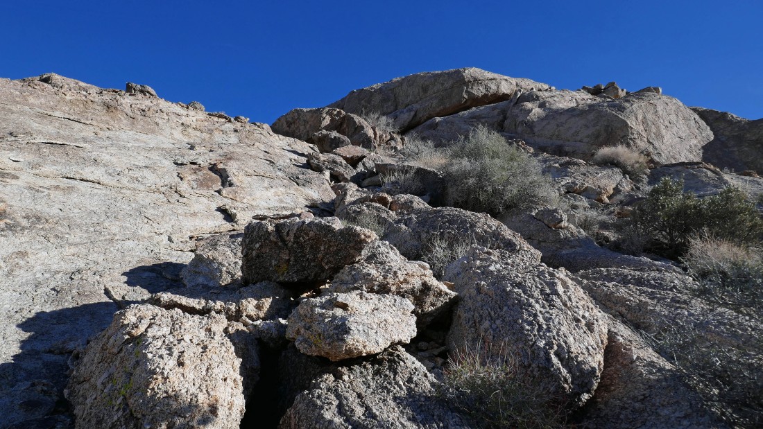
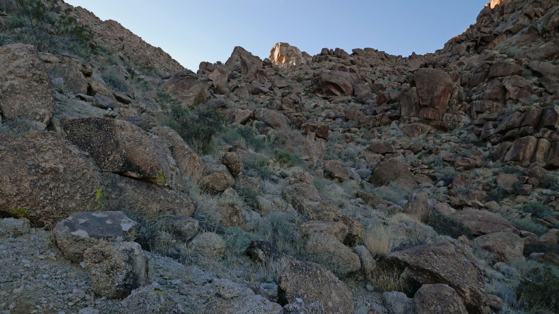
Denali Girl with one of many cairns that help a person get up the gully... Joshua Mountain is in the distance on the left.
|
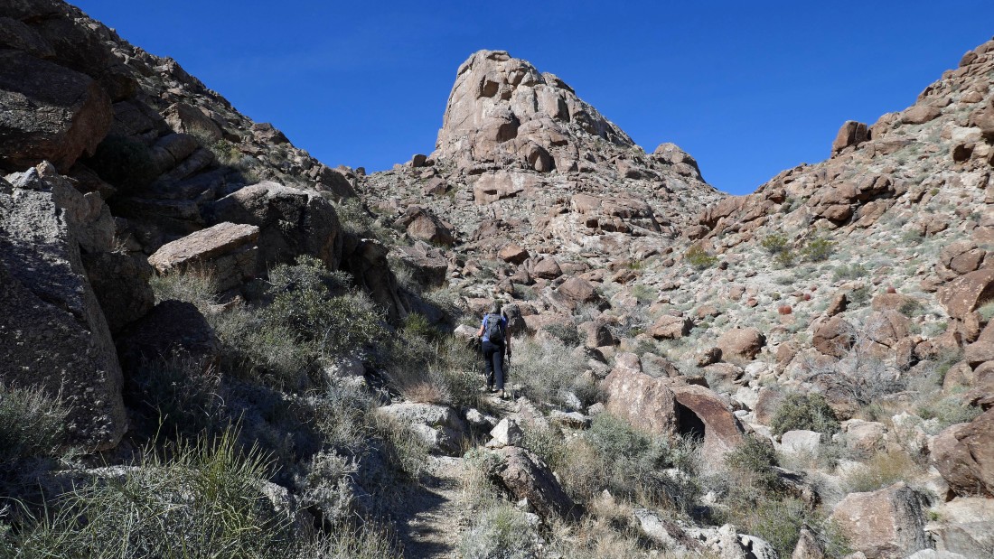
Denali Girl continues uphill toward Joshua Mountain.
|
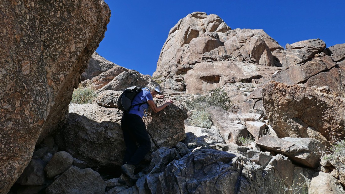
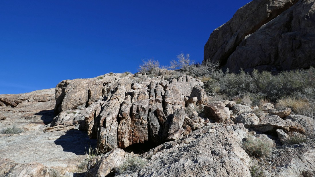
There are several places where you have to use your hands.
|
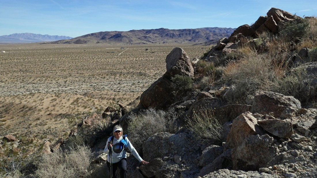
I've almost reached the south side of Joshua Mountain... here looking back at our route... Point 3505 is in the left foreground... with Twentynine Palms Mountain on the horizon.
|
Standing on the south side of Joshua Mountain... my first target is Point 3899 in the left foreground... I will head for it while Denali Girl scrambles up Joshua Mountain.
|
Heading for Point 3899 and looking back at Joshua Mountain.
|
Heading up to the ridge that will get me to Point 3899.
|
|
On the ridge and looking back at Joshua Mountain on the left.
|
Nearing Point 3899 and looking back at Joshua Mountain on the left... every step higher gives a broader view of Yucca Valley.
|
A pano shot from the ridge... Joshua Mountain in the left foreground... Twentynine Palms Mountain in the distance on the right.
|
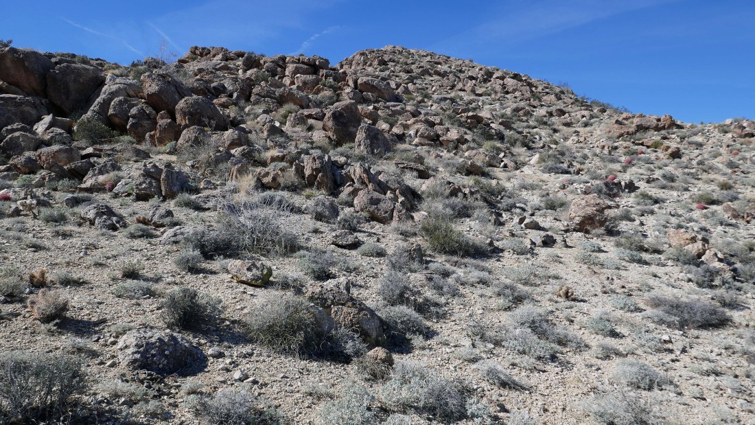
It will be an easy walk up to Point 3899.
|
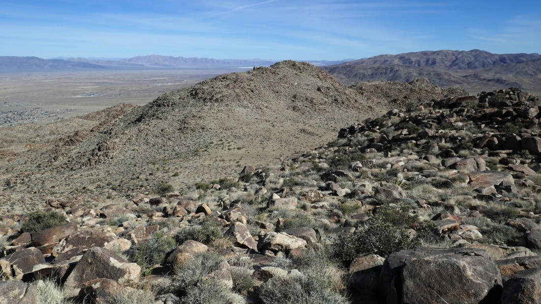
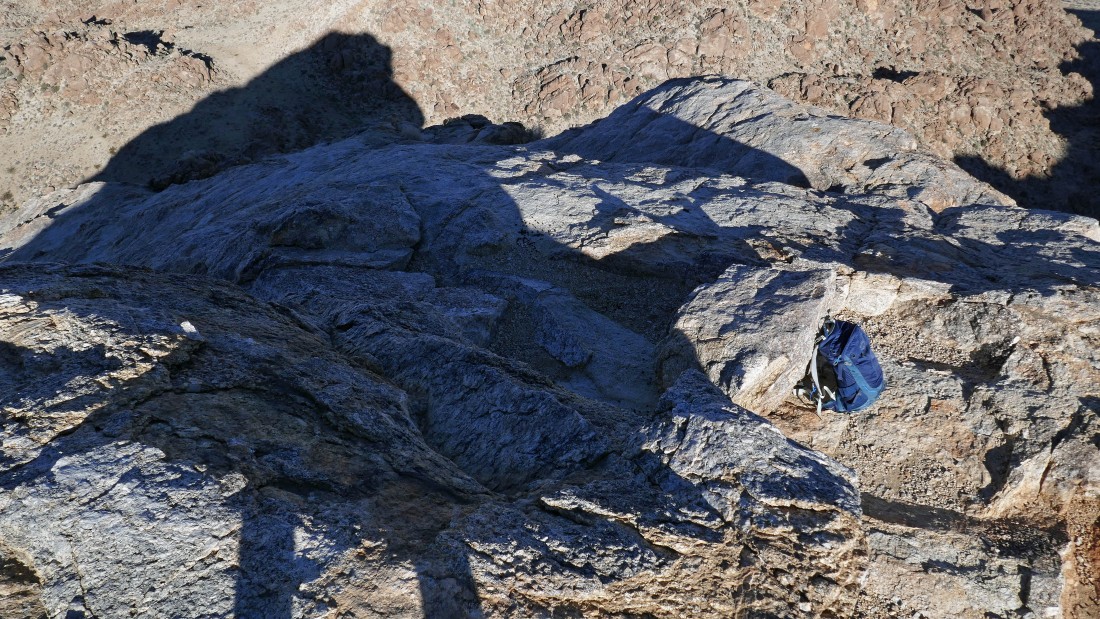
Looking down on Joshua Mountain from Point 3899... I can actually see Denali Girl on the summit... but doubt you can see her.
|
Leaving Point 3899 and heading for Point 4468 on the ridge.
|
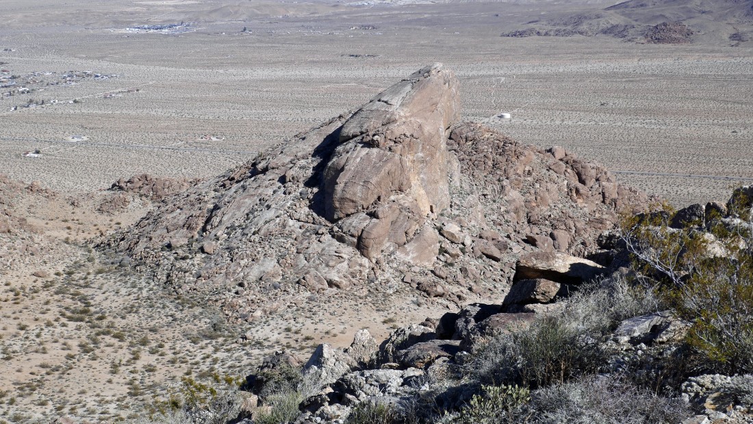
Looking back at point 3899 (it blocks Joshua Mountain) as I head for Point 4468.
|
Gaining elevation on my way to Point 4468 on the ridge.
|
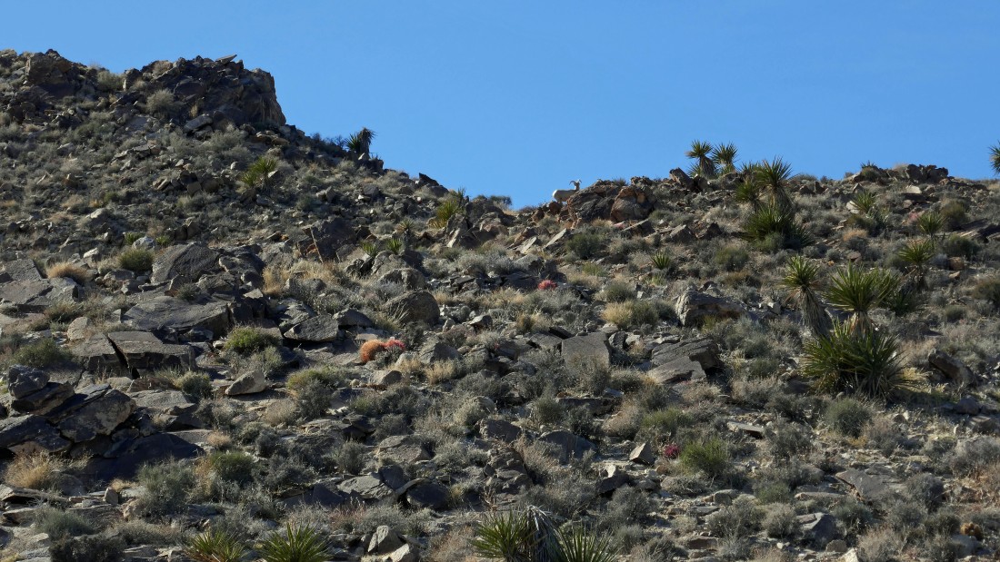
Almost to the ridge... look on the horizon in the center of the photo... that is a bighorn sheep... there were two of them, but I only got one in the photo.
|
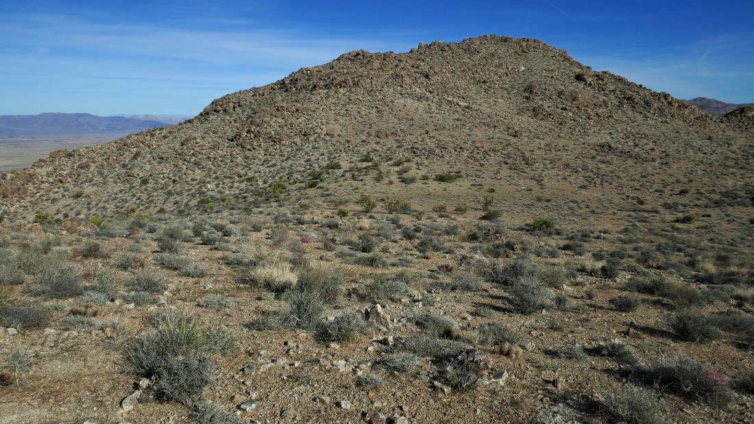
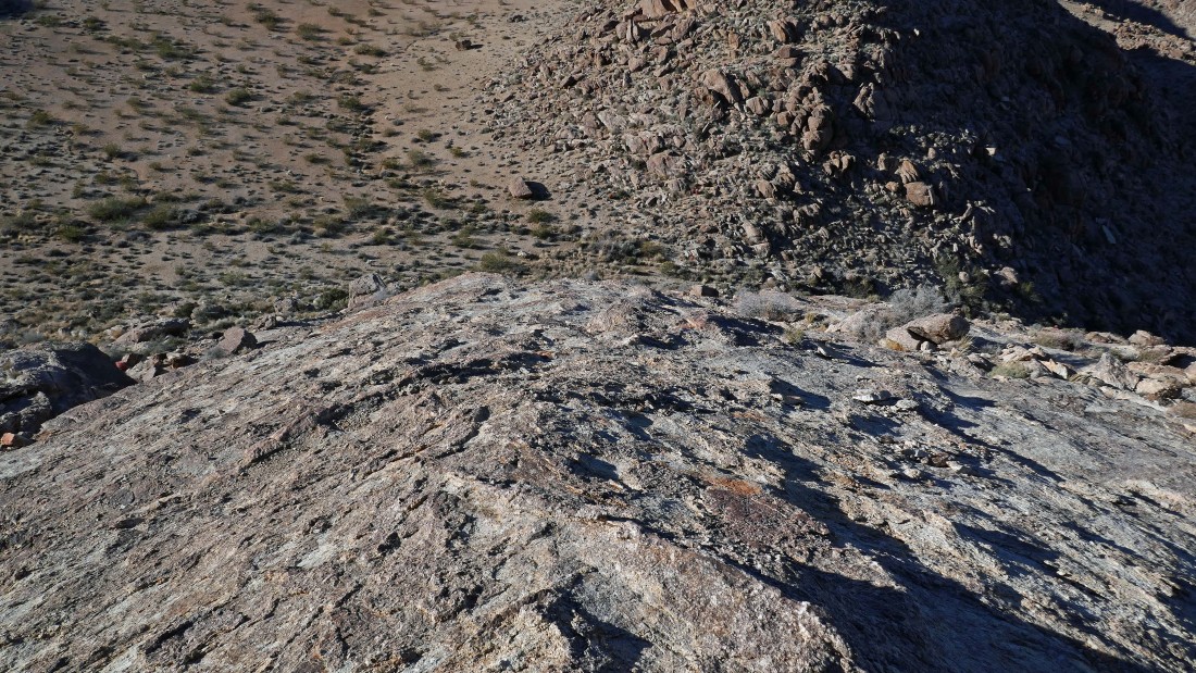
Nearing Point 4468... about as flat as flat can be!
|
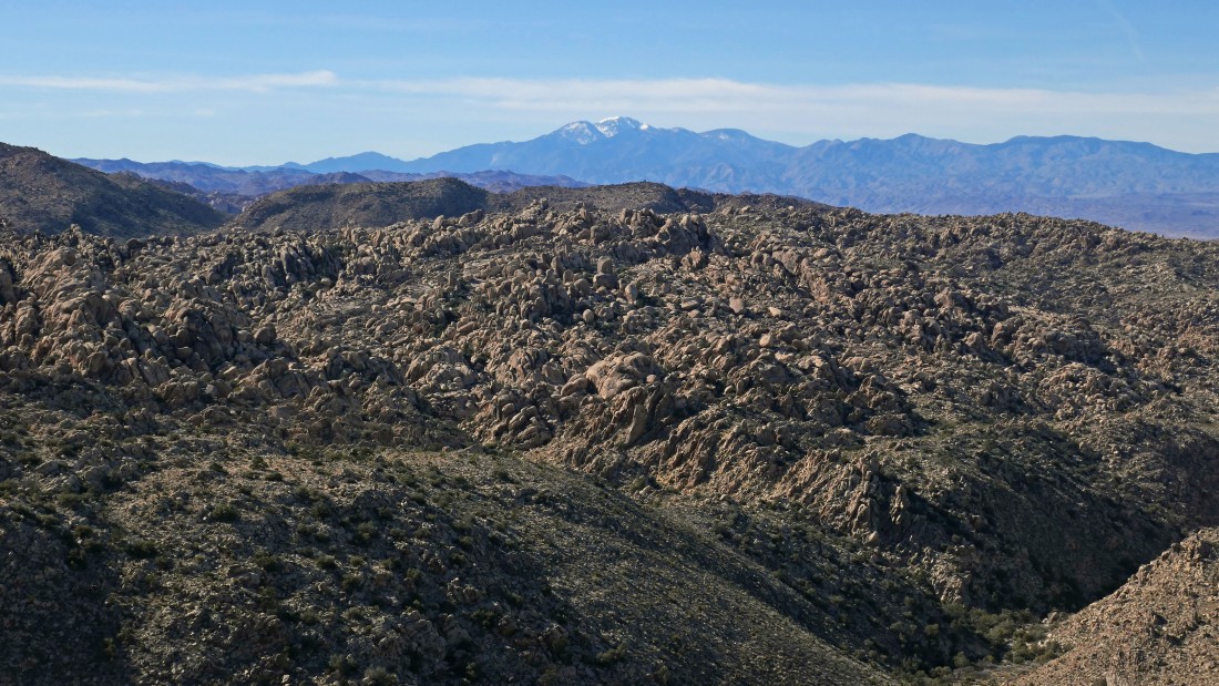
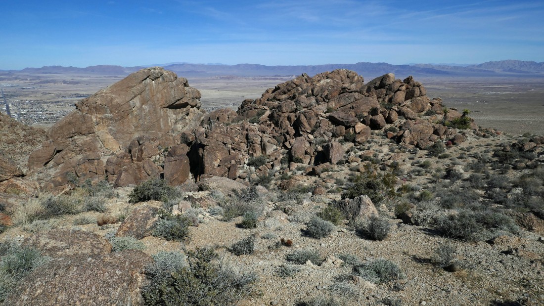
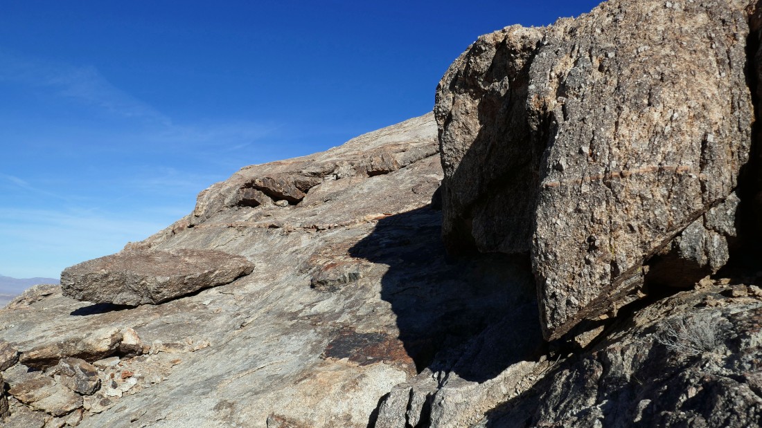
Some serious rock formations just west of Point 4468... a snow covered San Gorgonio Mountain (the highest mountain in southern California) is on the horizon in the center of the photo.
|
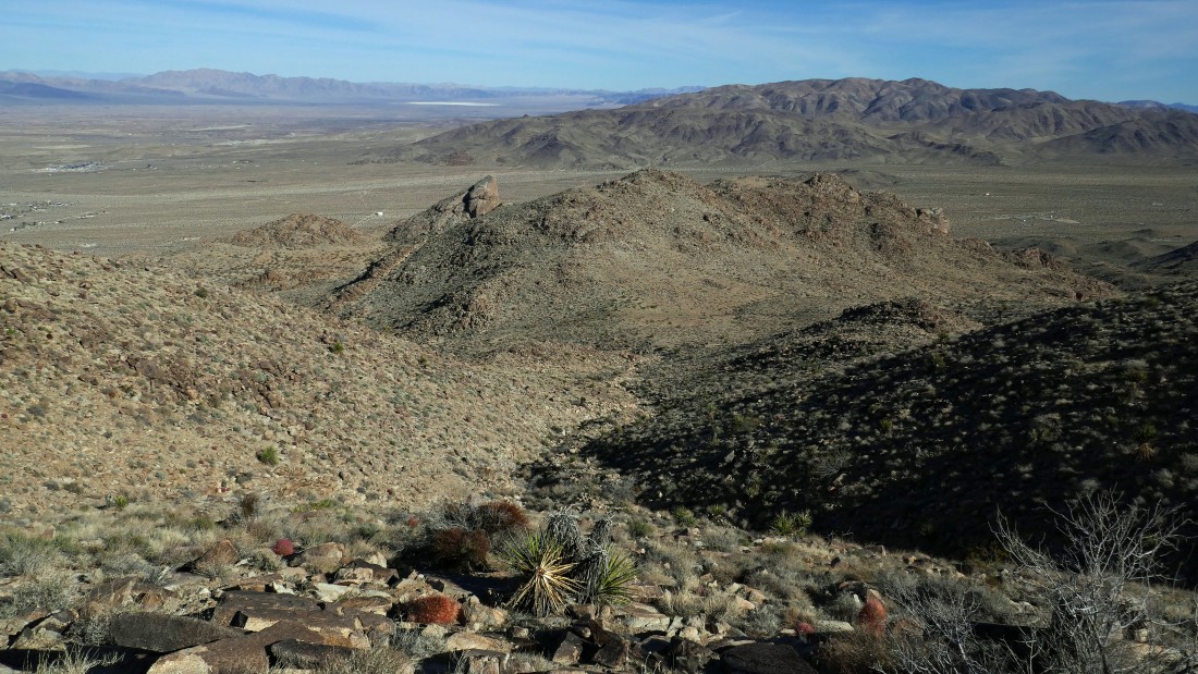
Looking at Joshua Mountain and Point 3899 from Point 4468... Twentynine Palms Mountain on the right horizon.
|
I have left Point 4468 and have returned to a saddle on the west side of Point 3899... I will go to the left and circle around Point 3899 instead of crossing over it.
|
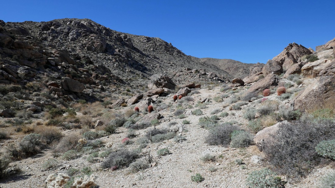
On the north side of Point 3899 now... heading for Joshua Mountain... Point 3505 is on the left.
|
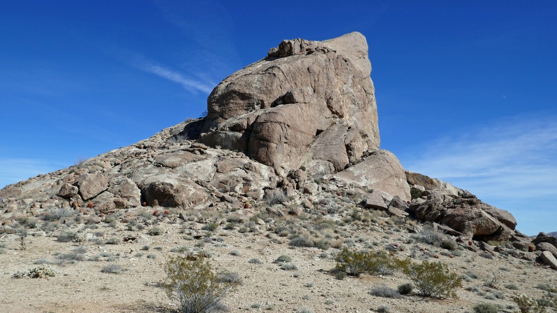
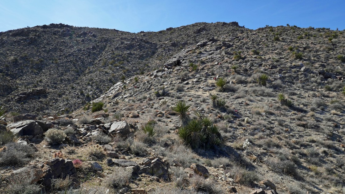
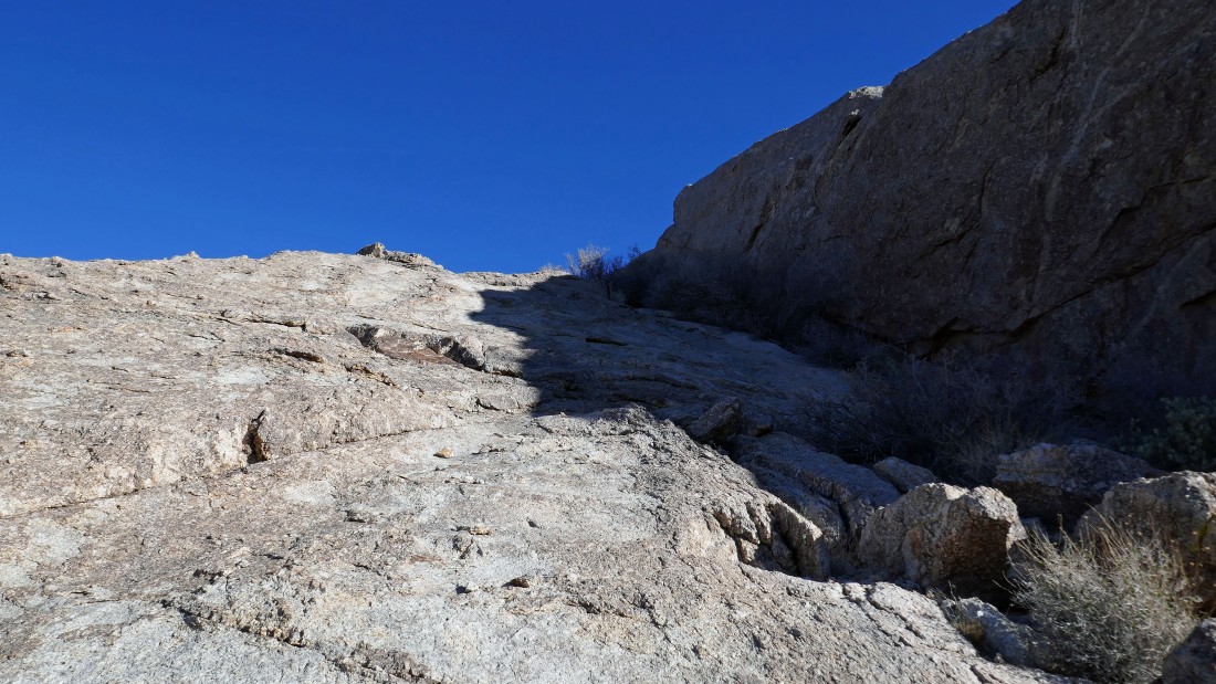
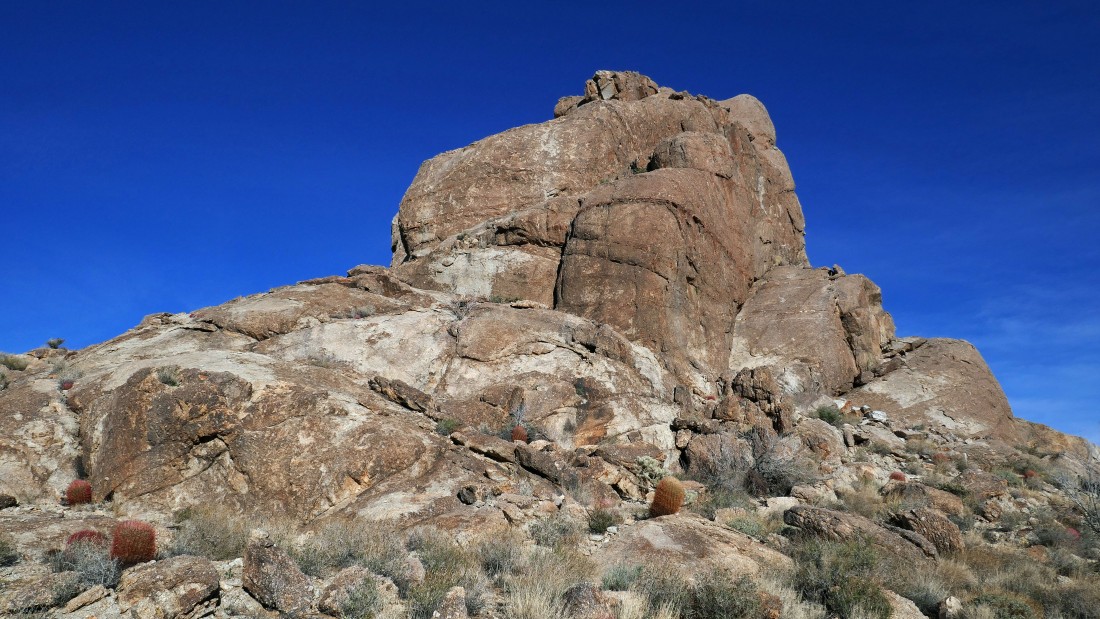
At the base of Joshua Mountain and time to head up.
|
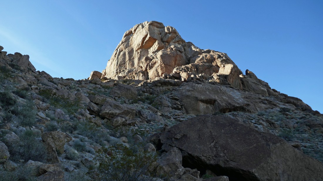
Continuing up Joshua Mountain.
|
Continuing up Joshua Mountain.
|
Continuing up Joshua Mountain... on the north side of the summit block.
|

There is a 10 foot ramp that leads up to the summit.
|
On the summit of Joshua Mountain... looking across the valley to Twentynine Palms Mountain.
|
|
On the summit of Joshua Mountain... looking out to Yucca Valley and the town of Twentynine Palms.
|
On the summit and looking down the 10 foot ramp that will take me down to my pack.
|
Heading down from the summit... steep... but what I would call comfortable exposure.
|
Back on the south side of Joshua Mountain... getting ready to trace my steps back to the car.
|
On the way to the car... looking back at Joshua Mountain.
|
Heading for the car... Twentynine Palms Mountain in the distance.
|
Continuing down the gully... looking back at Joshua Mountain.
|
Almost back down to the desert floor.
|
Out of the gully... just a half-mile hike is left to reach the car.
|
I can see the car... the trip was 5.6 miles, gaining 2546 feet of elevation.
|
