Oak Canyon Potholes and Oak Canyon Falls - 2.12.2020
|
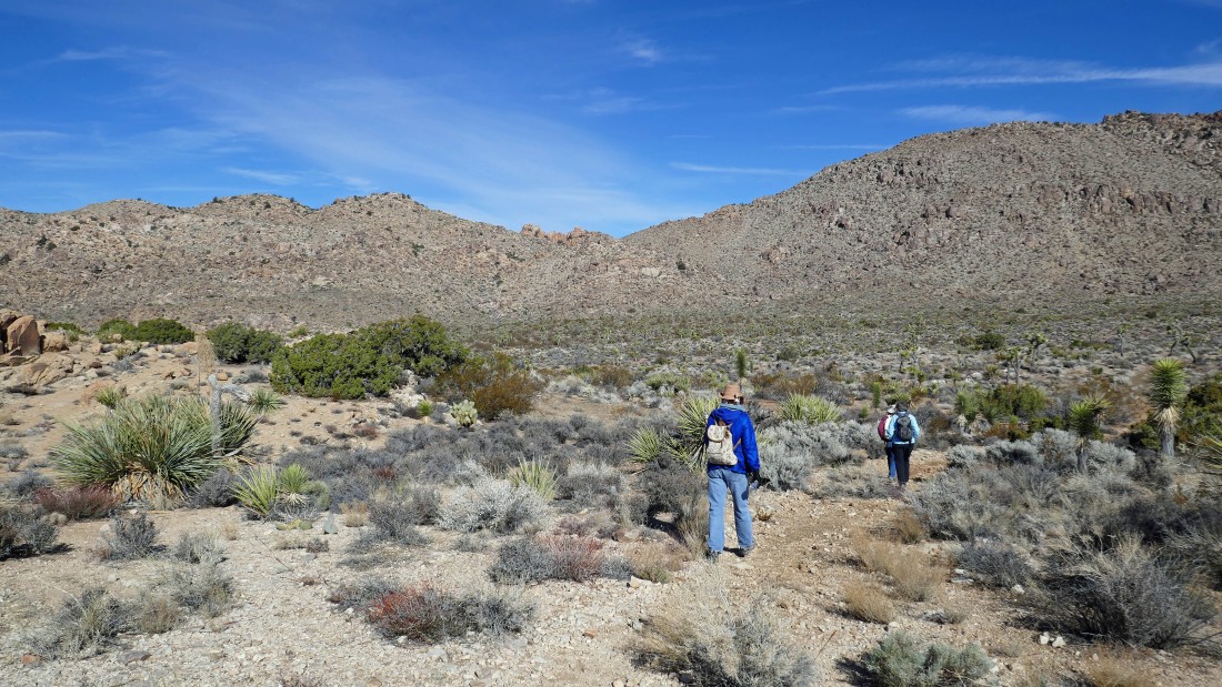
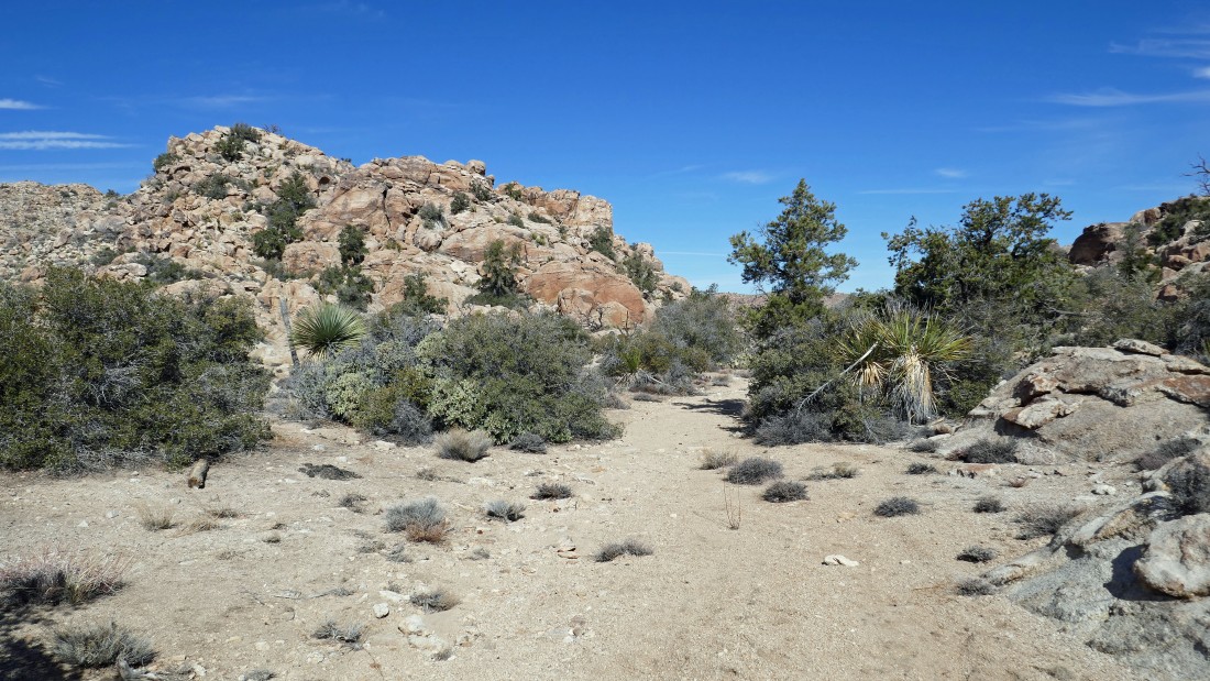
Leaving the parking lot for Queen Mountain... from the west entrance pay station to Joshua Tree National Park... drive Park Blvd for 15.1 miles and turn left onto Big Horn Pass Road... then drive .4 miles to an unsigned fork in the road... stay to the right at the fork and drive 1.4 more miles to the parking lot... we will be heading for the 'V' on the ridge in the left-center of the photo.
|
Heading for the low point on the ridge.
|
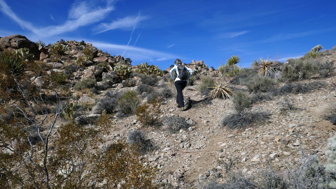
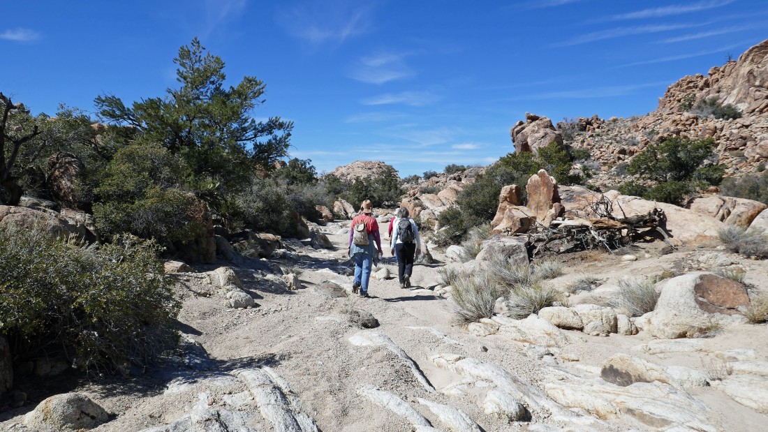
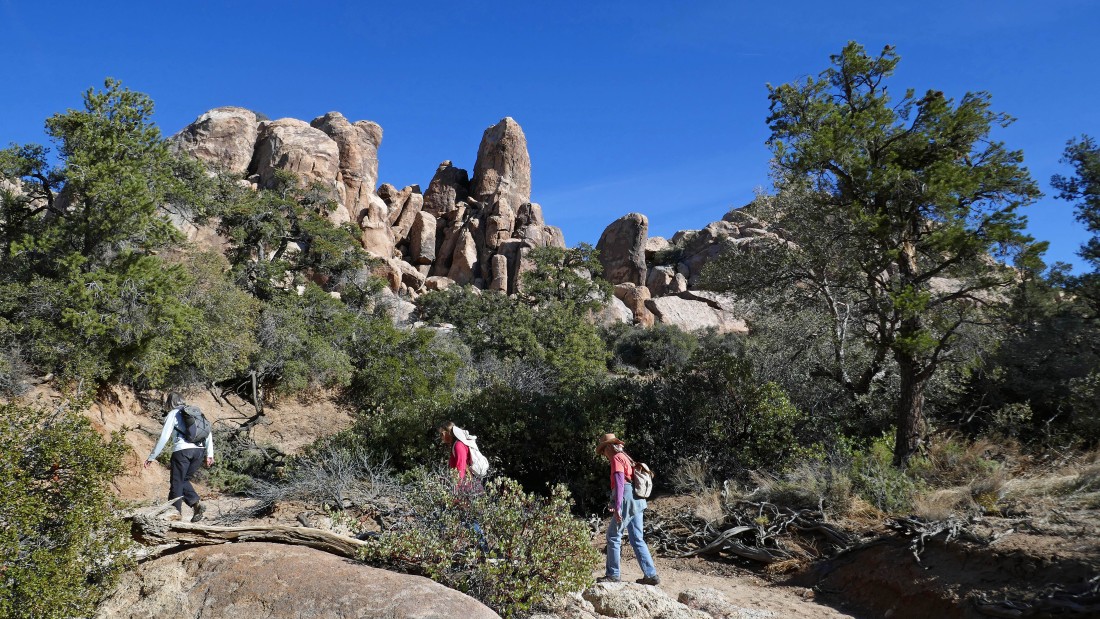
Denali Girl nears the low point on the ridge after hiking a little over a mile.
|
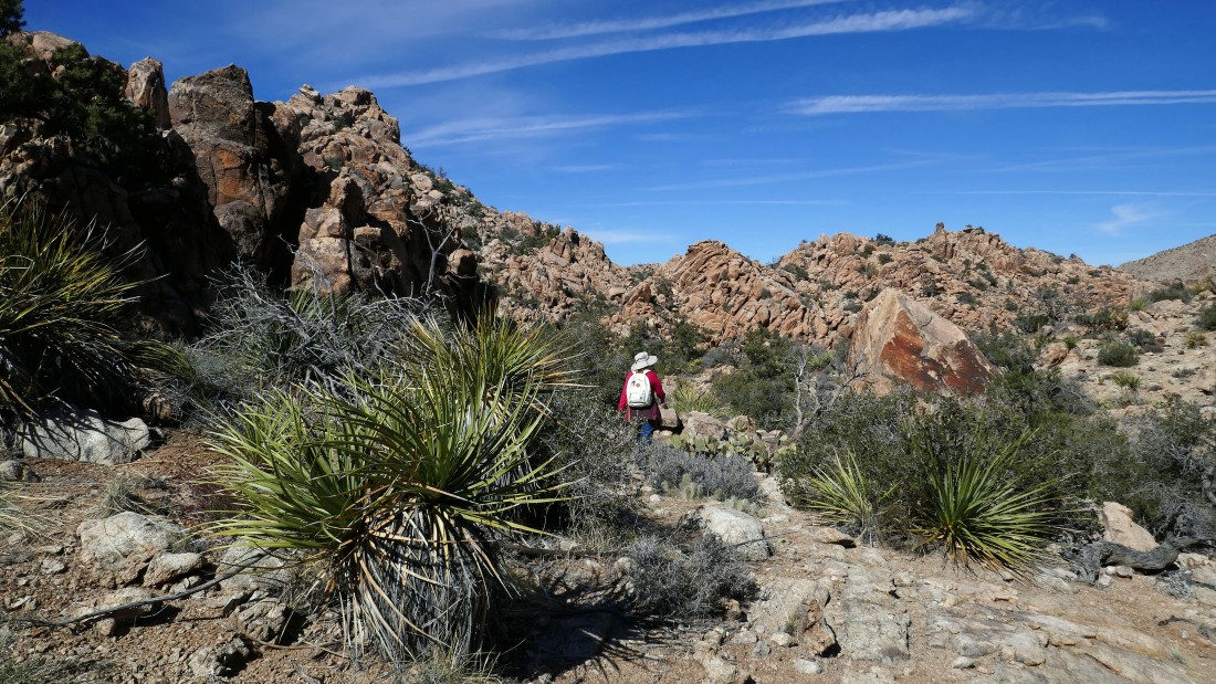
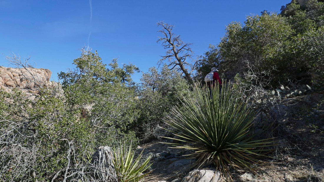
Continuing west up a faint path.
|
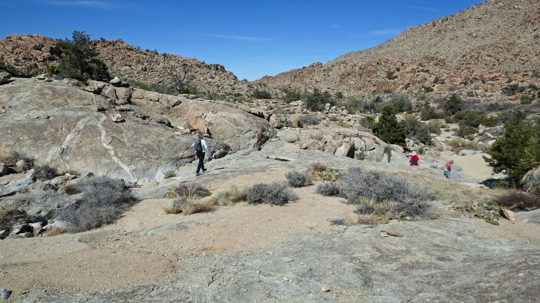
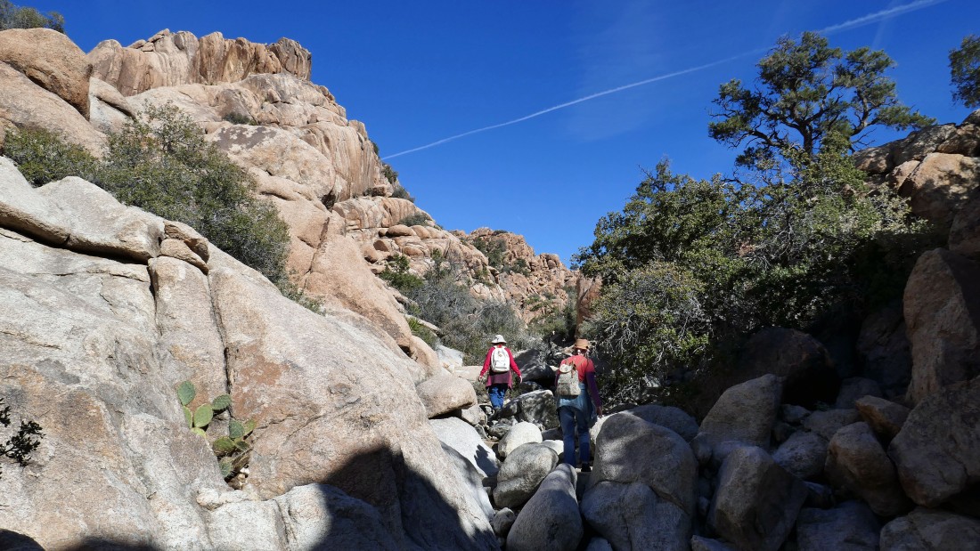
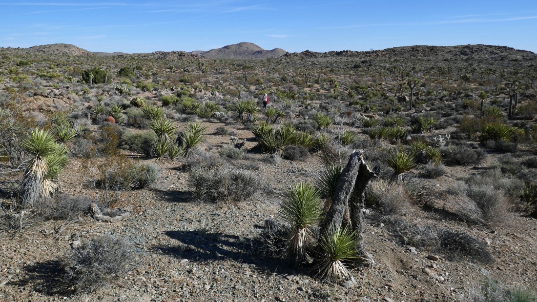
After hiking 1.4 miles we have reached a large open area... we will head west for the pass out there on the far left... the pass is 1.6 miles from where we parked.
|
|
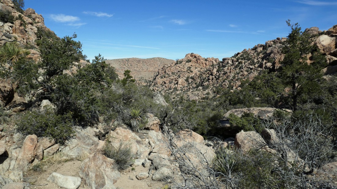
We have continued west from the pass that was 1.6 miles from where we parked... looking for a canyon that goes to the north.
|
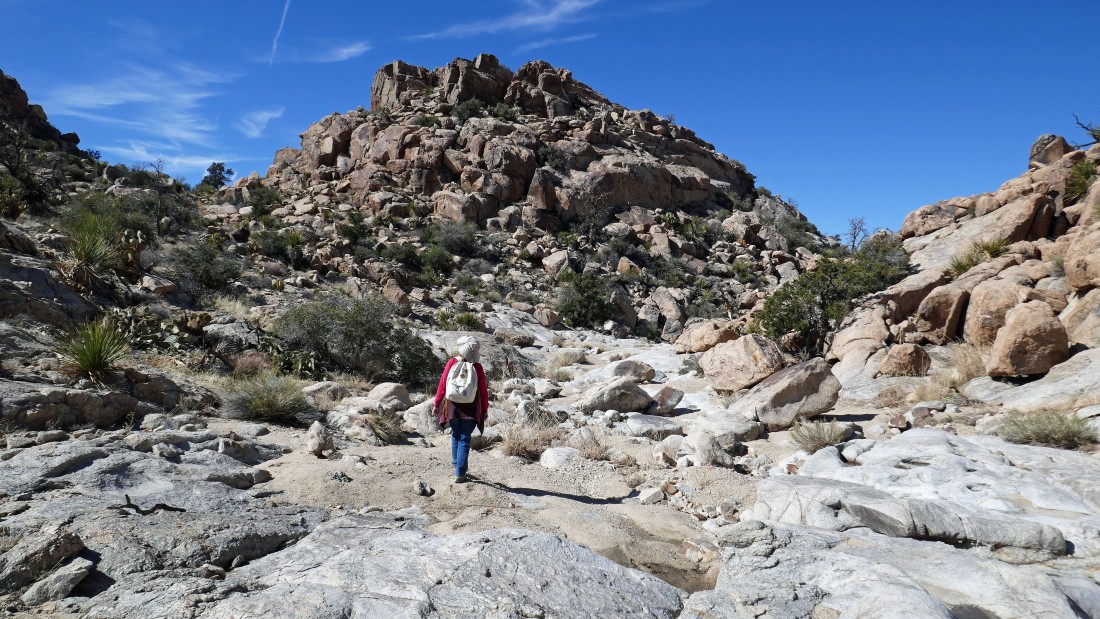
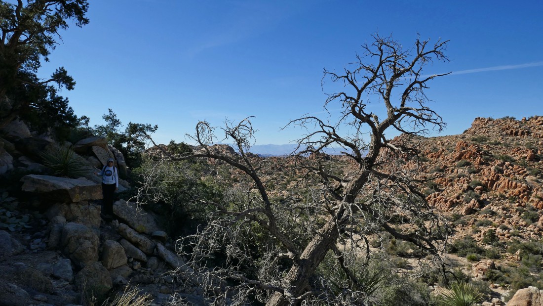
After hiking 1.8 miles we will turn to the north and scramble down into Oak Canyon... San Jacinto Mountain (10,800') and San Gorgonio Mountain (11,500') are on the horizon.
|
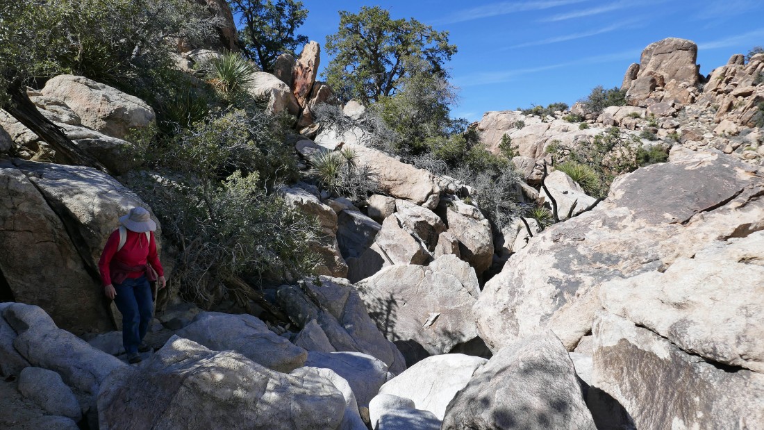
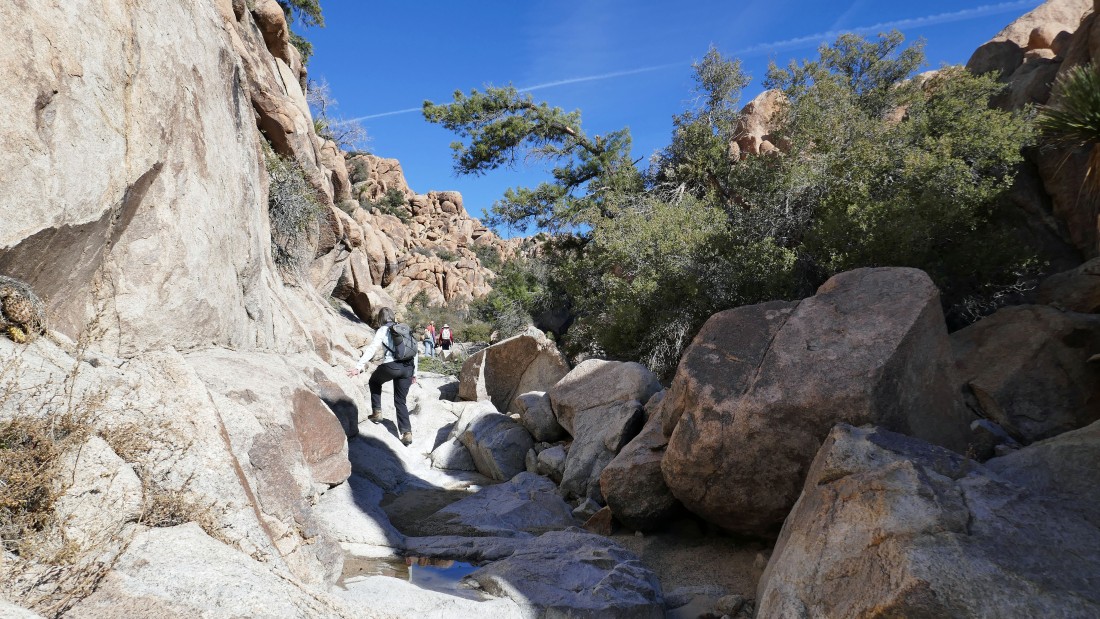
Dealing with some serious brush getting down into Oak Canyon.
|
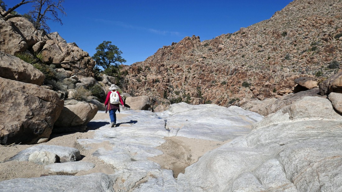
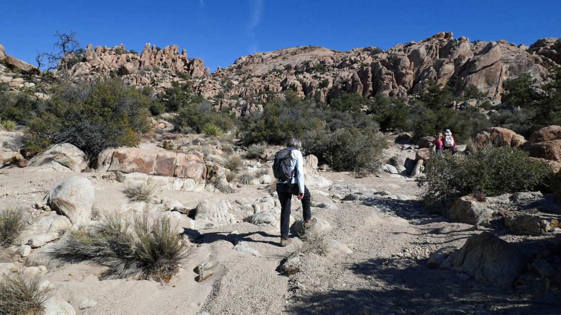
In Oak Canyon... continuing north on much easier terrain.
|
Continuing north in Oak Canyon... more brush to deal with.
|
There are also some large boulders to deal with.
|
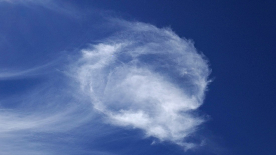
Is it only me who sees that menacing looking face in the cloud?
|
Brushy... but tolerable.
|
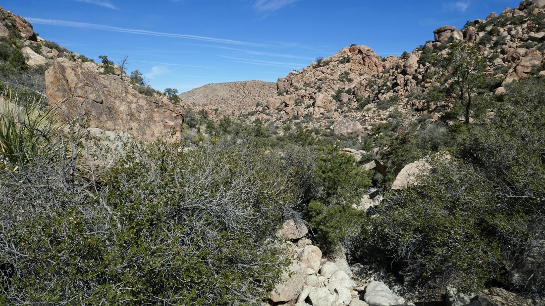
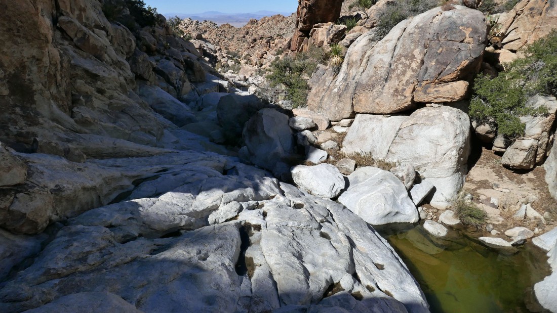
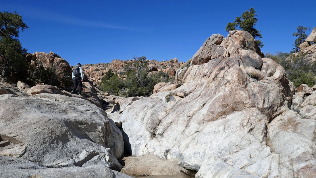
Continuing north in Oak Canyon... every now and then the wash broadens some.
|
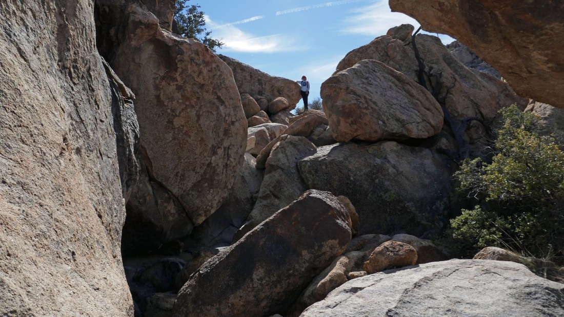
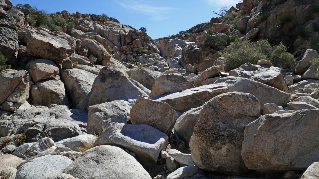
And every now and then we had to deal with big boulders.
|
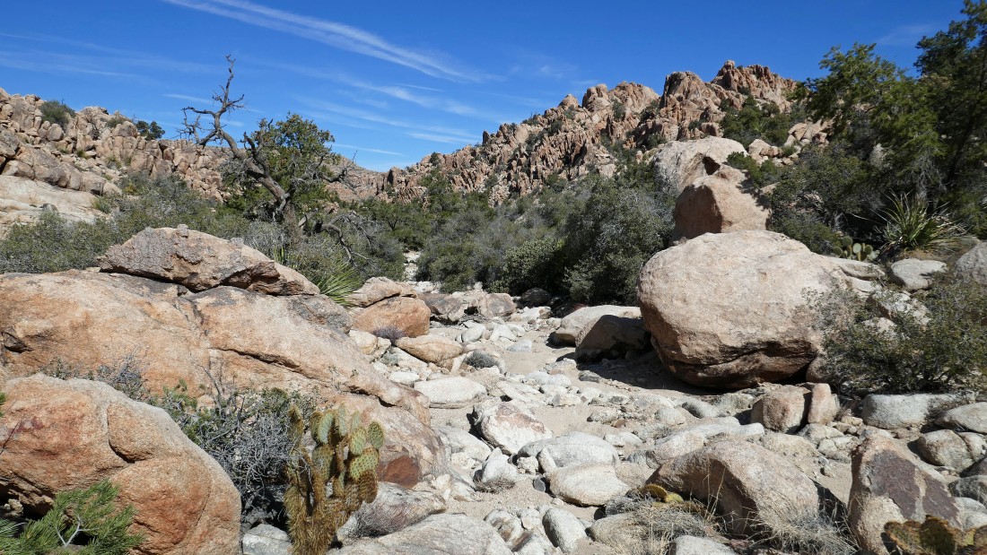
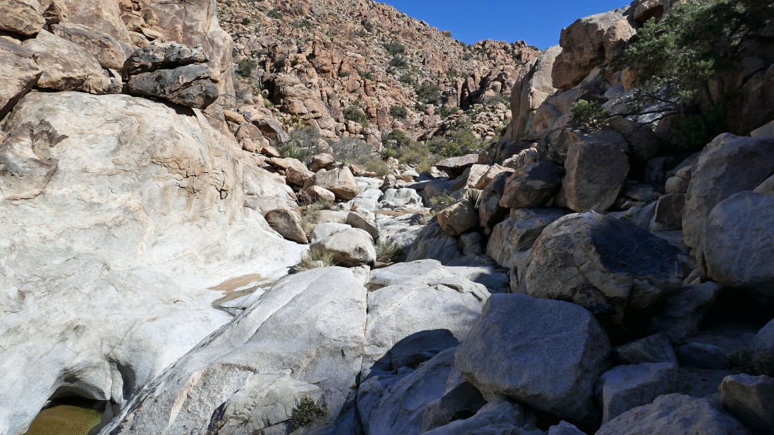
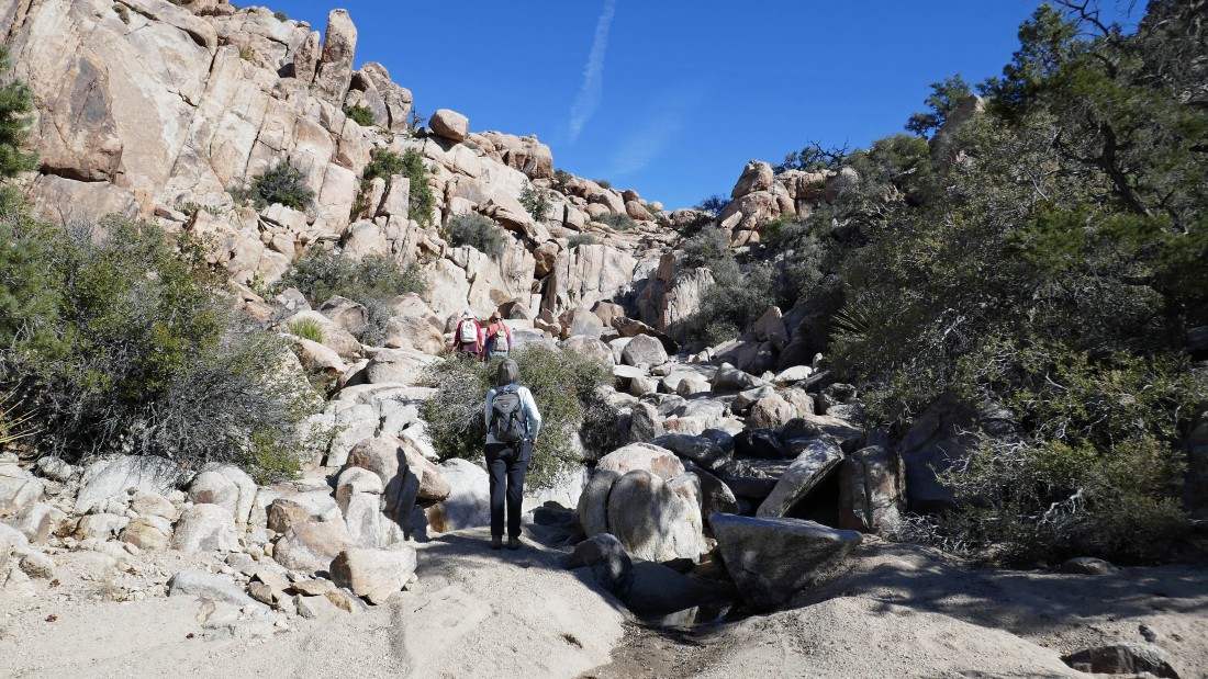
Continuing north in Oak Canyon.
|
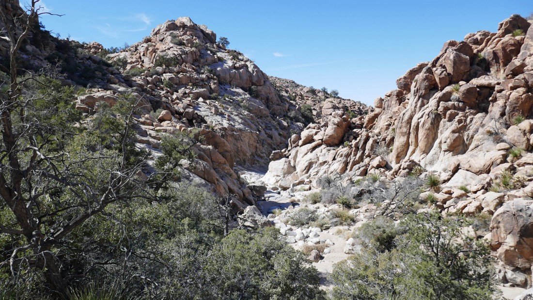
After hiking 2.9 miles we reached a split in the canyon... we decided to go west to the potholes... then return to the split in the canyon and head east toward Oak Canyon Falls.
|
Heading west and north in Oak Canyon... looking for the potholes.
|
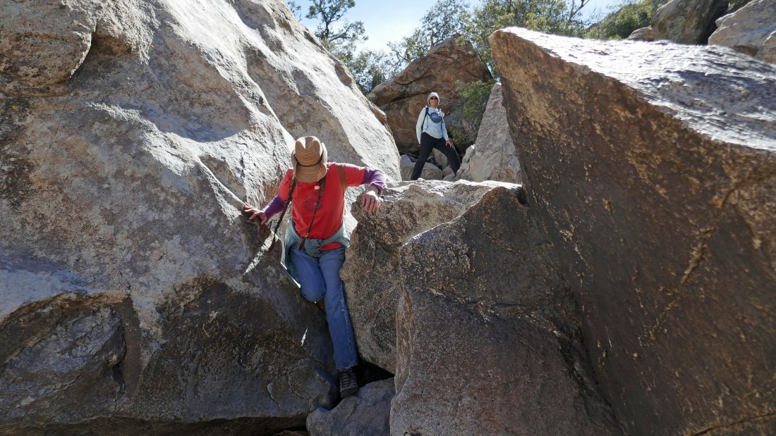
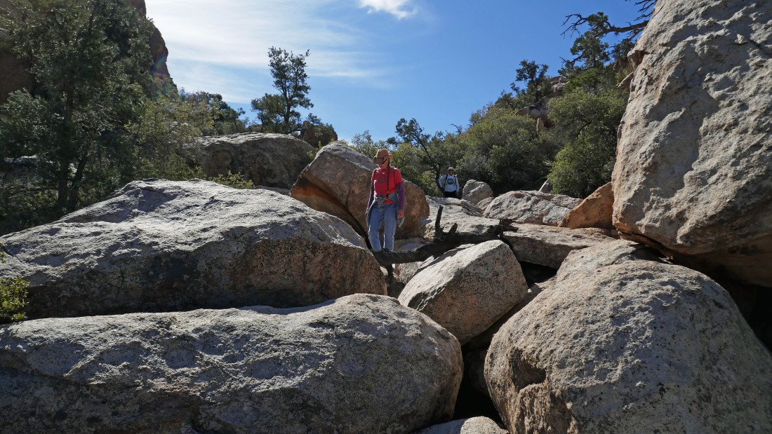
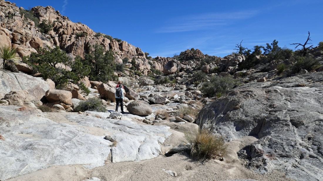
Golden Eagle and Denali Girl working the boulders in Oak Canyon.
|
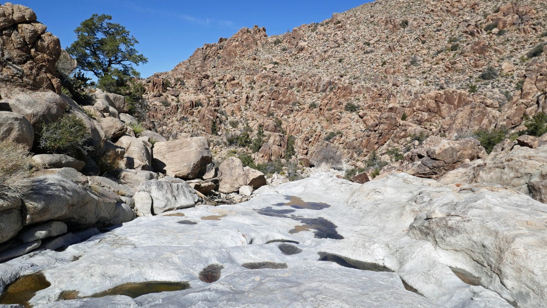
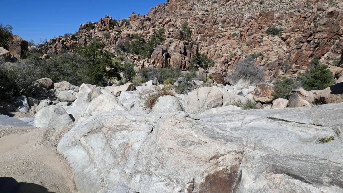
After hiking a total of 3.3 miles we have reached the upper potholes in Oak Canyon.
|
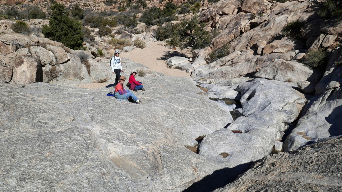
Denali Girl, Golden Eagle and Star Dancer at the upper potholes... beautiful women lounging in beautiful terrain.
|
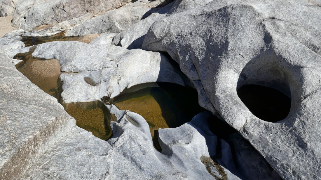
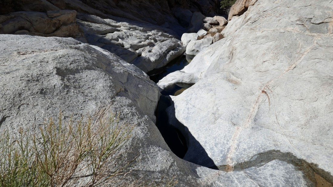
A closer look at some of the upper potholes.
|
Continuing north in Oak Canyon... in search of the middle potholes.
|
Continuing north in Oak Canyon... in search of the middle potholes.
|
After hiking a total of 3.6 miles we have reached the middle potholes... but this photo is only a teaser for the middle potholes.
|
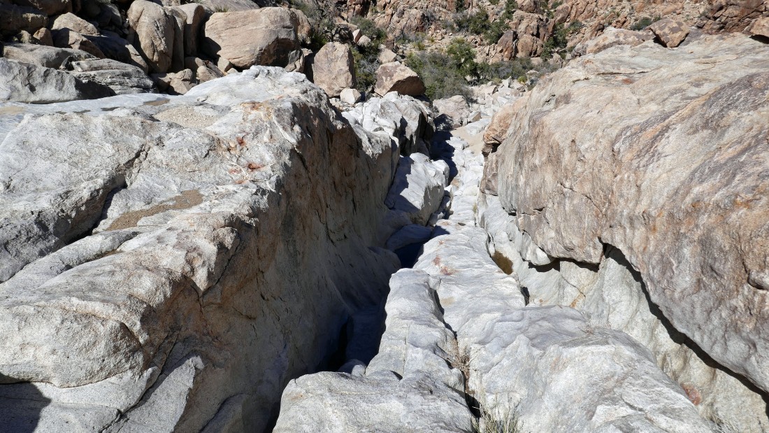
This incredible ramp is located at the middle potholes.
|
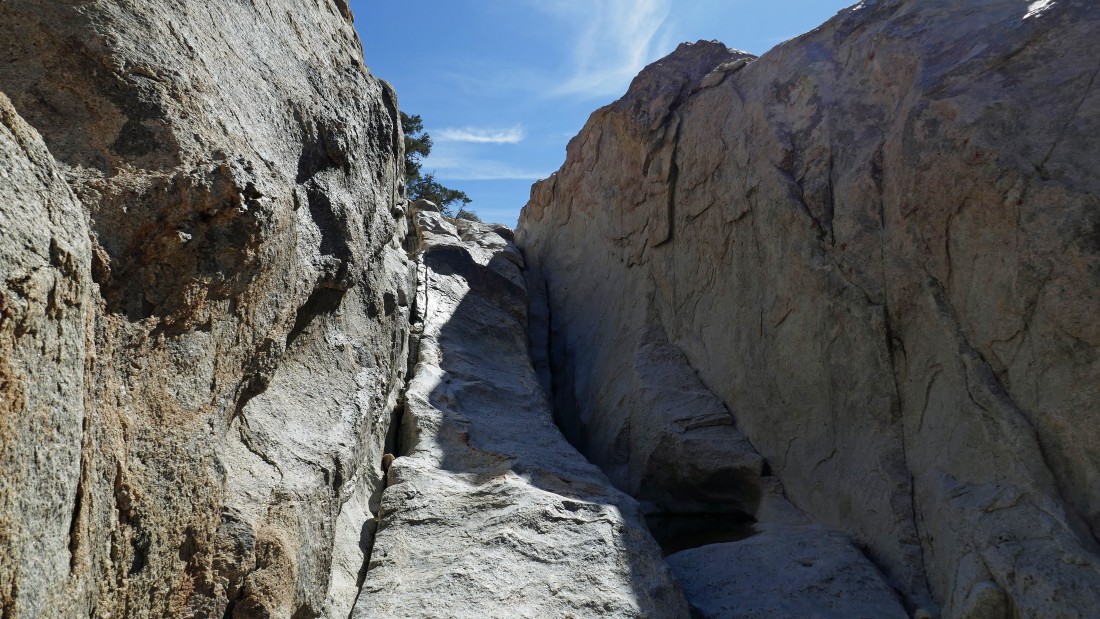
Looking down the middle potholes... part of the ramp is to the right of my shadow... I have got to go down below and continue down to the lower potholes.
|
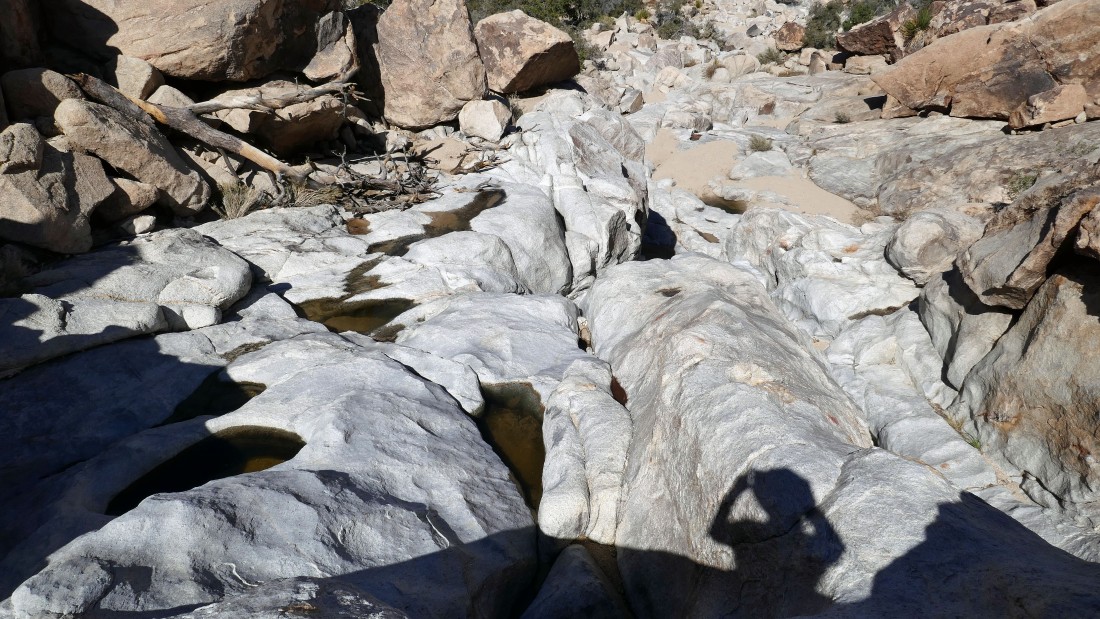
I'm at the bottom of the middle potholes... looking back up at Star Dancer, Denali Girl and Golden Eagle... they decided to wait for me to go visit the lower potholes and return.
|
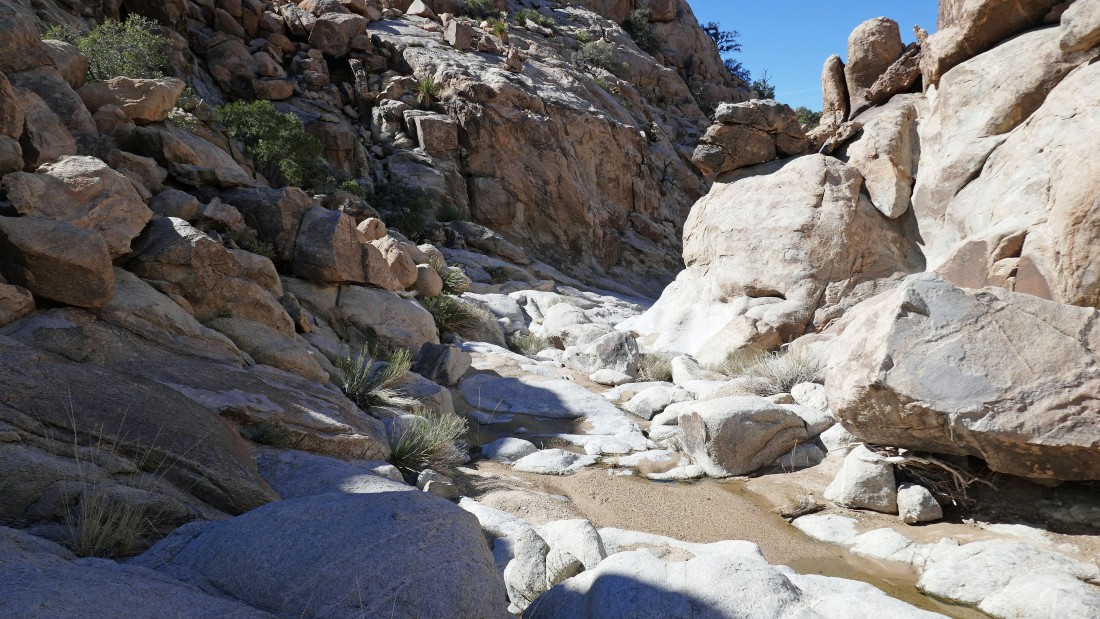
Continuing north in Oak Canyon... in search of the lower potholes... they are just a tenth of a mile further down the canyon from the middle potholes.
|
The lower potholes must be down there where the canyon takes a turn.
|
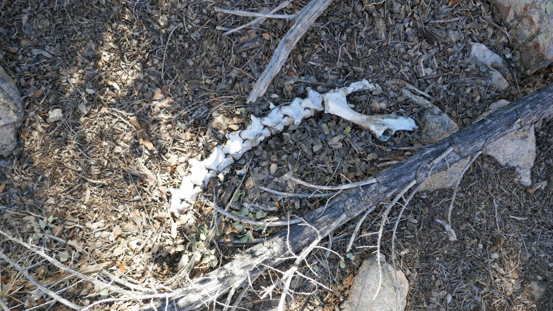
A bad day for some animal.
|
Almost at the lower potholes.
|
After hiking a total of 3.7 miles, I have reached the lower potholes in Oak Canyon.
|
Looking further down Oak Canyon from the lower potholes... but I will head back to join the ladies now.
|
Heading back up Oak Canyon to join the ladies.
|
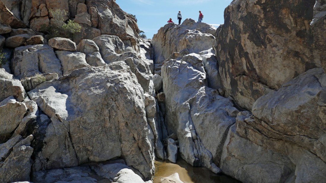
I can see Denali Girl with outstretched arms waiting for me above the middle potholes.
|
Heading up the ramp at the middle potholes... an amazing feature!
|
Heading back to where the canyon splits... with our next target being the Oak Canyon Falls.
|
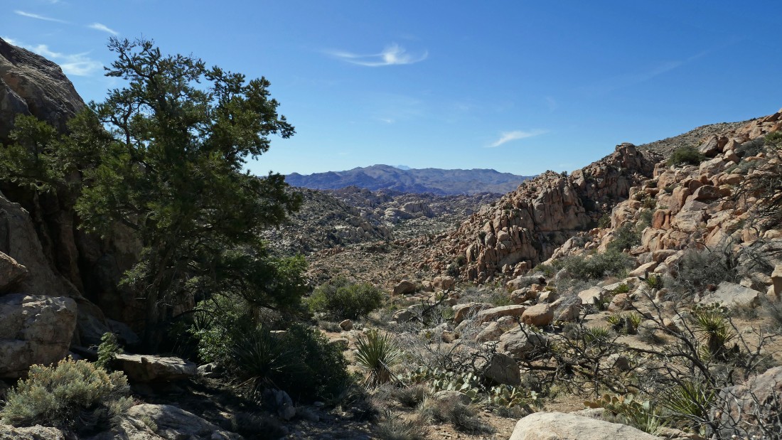
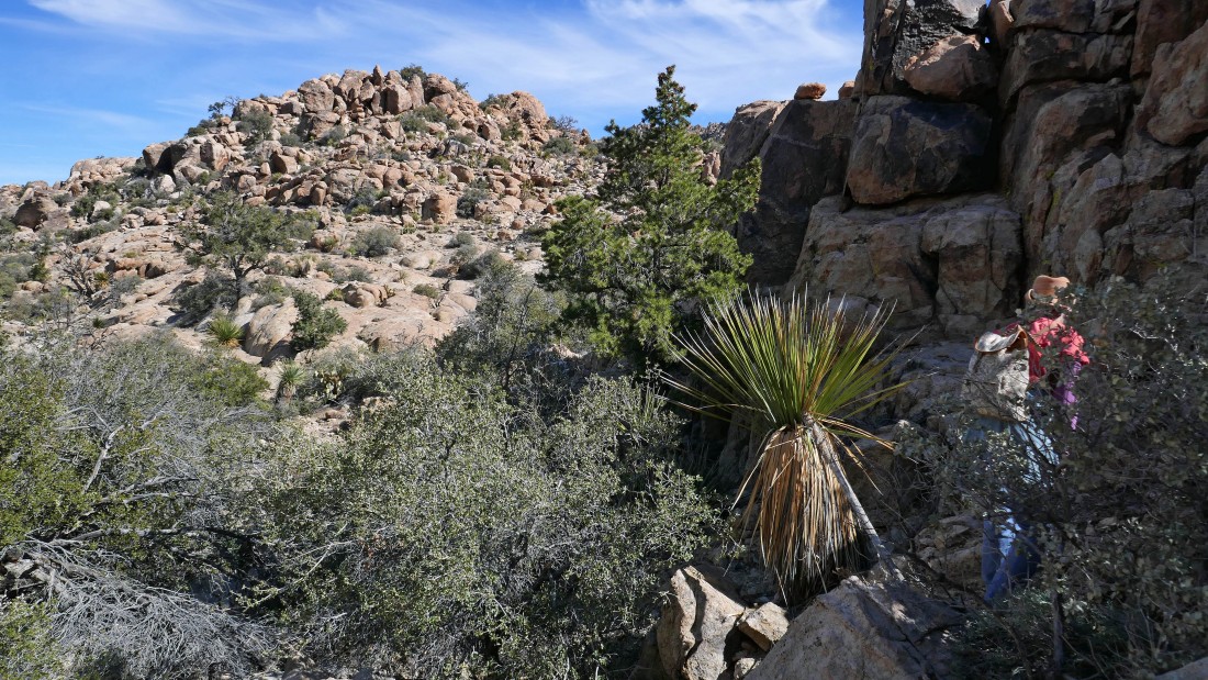
After hiking a total of 4.2 miles we took a very short stroll to a viewpoint down into the Wonderland of Rocks... a route we intend to take in the near future.
|
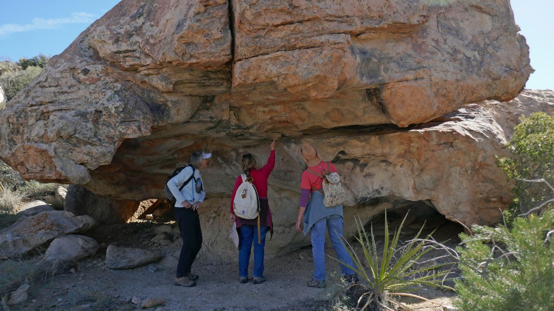
The ladies have found an interesting rock formation near our Wonderland of Rocks viewpoint.
|
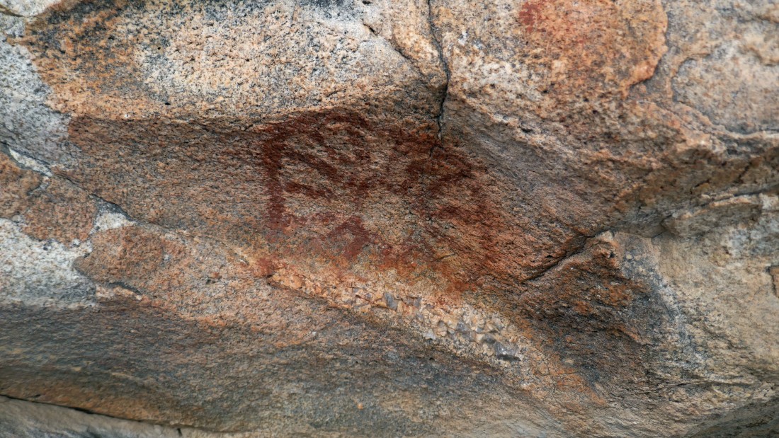
Petroglyphs.
|
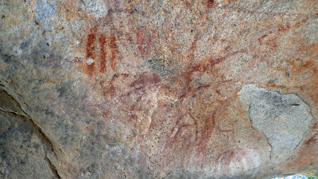
Petroglyphs.
|
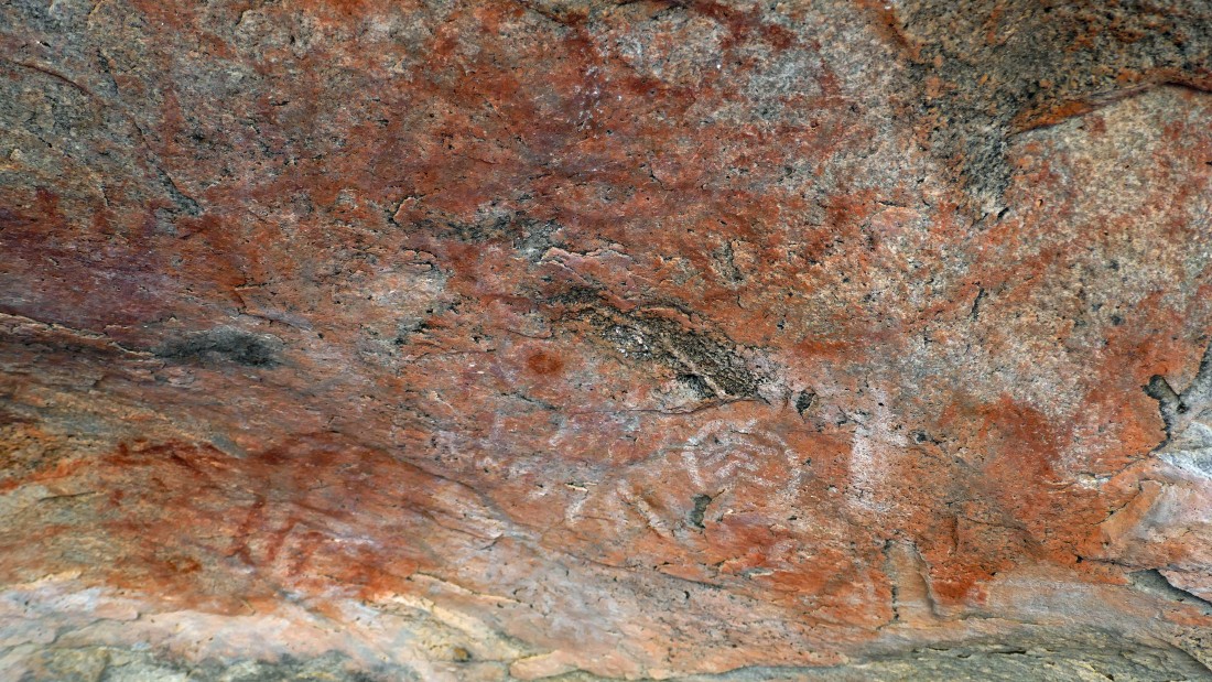
Petroglyphs.
|
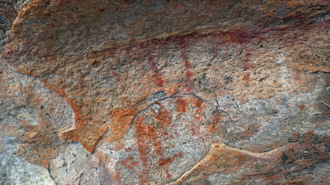
Petroglyphs.
|
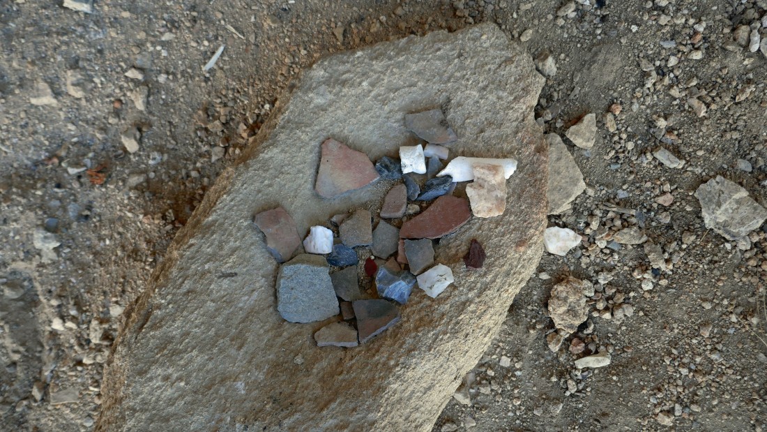
Small cutting tools and pieces of pottery.
|
A beam of light shines on Denali Girl... showing how lucky she is to be married to me!
|
Heading back up to that split in the canyon where we made the decision to visit the potholes before the falls.
|
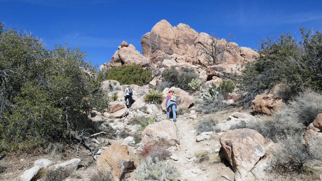
Working some boulders on the way back to the split in the canyon.
|
After hiking a total of 4.6 miles we are back at the split in the canyon... now lets go find those falls.
|
Heading east in search of the Oak Canyon Falls.
|
Nearing the Oak Canyon Falls.
|
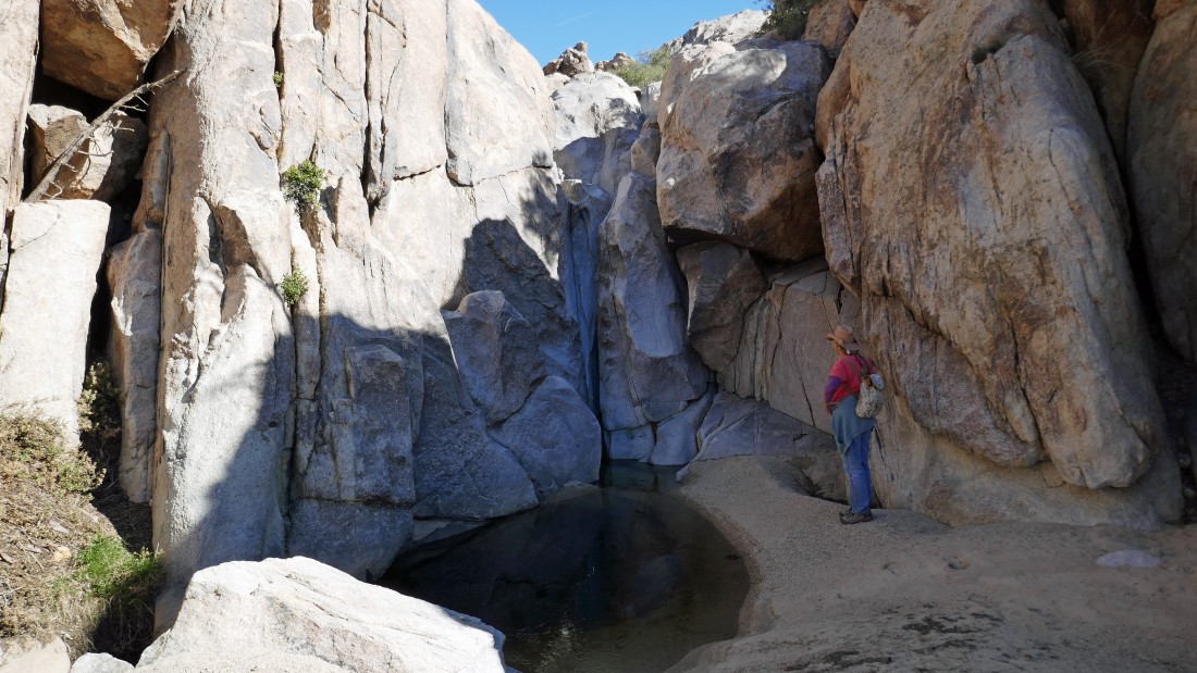
After hiking a total of 4.8 miles Golden Eagle checks out the Oak Canyon Falls... we will need to find a way to get above the falls.
|
We backtracked a few steps and found a way to get above the falls... a little brushy, but tolerable.
|
Denali Girl working her way above and around the falls.
|
Continuing up a canyon... looking to close the loop portion of our hike.
|
Continuing up a canyon... looking to close the loop portion of our hike.
|

Almost at the place where we can close the loop portion of our hike... last year I came down from the ridge above when I visited Tanzbodeli (aka the little dance floor)... today we are actually doing a circumnavigation of Tanzbodeli.
|
After hiking a total of 6.2 miles we have closed the loop portion of our hike... now we will trace our steps back to the car.
|
Heading down for Queen Valley.
|
After hiking a total of 6.8 miles we have reached the desert floor in Queen Valley... leaving a .7 mile hike back to our car... the total trip was 7.5 miles, gaining 1086 feet of elevation.
|
