Ruby Lee Mill and Porcupine Wash Loop - 2.17.2020
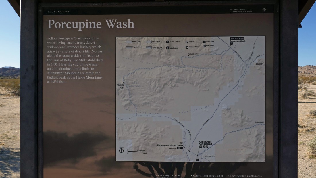
We parked at the backcountry registration board for Porcupine Wash in Joshua Tree National Park... from the north entrance pay station of the park... drive Park Blvd 4.6 miles and turn left onto Pinto Basin Road... then drive 21.2 miles to the parking area.
|
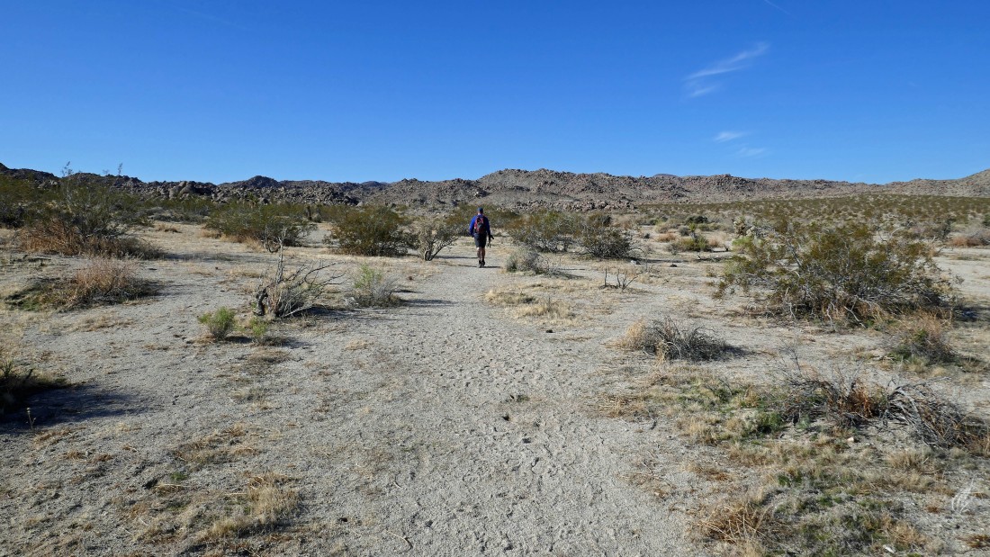
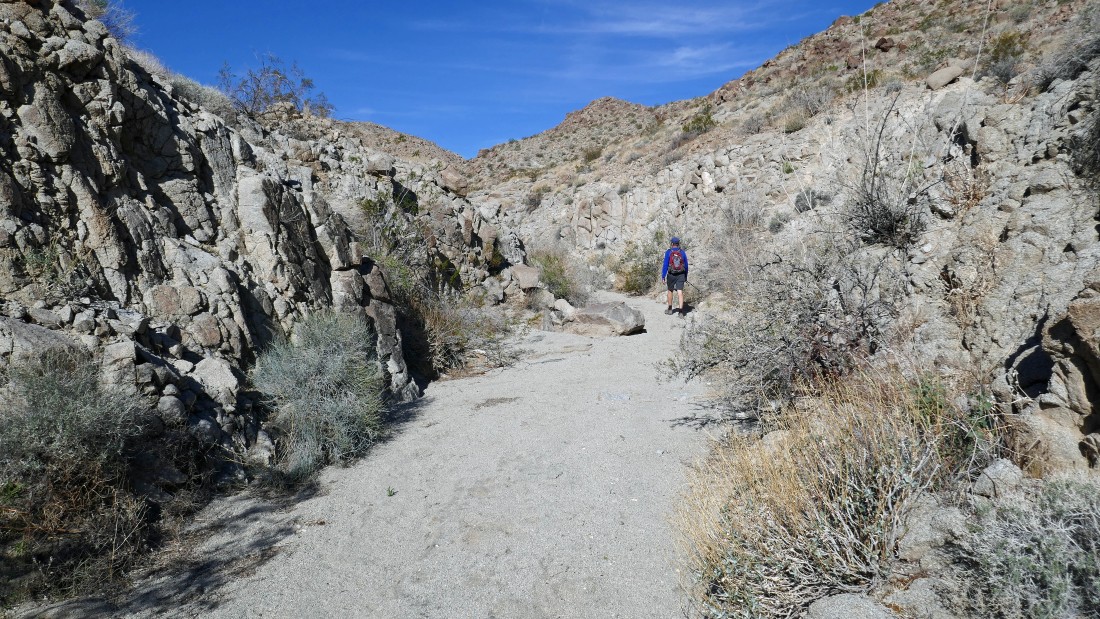
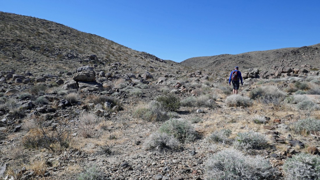
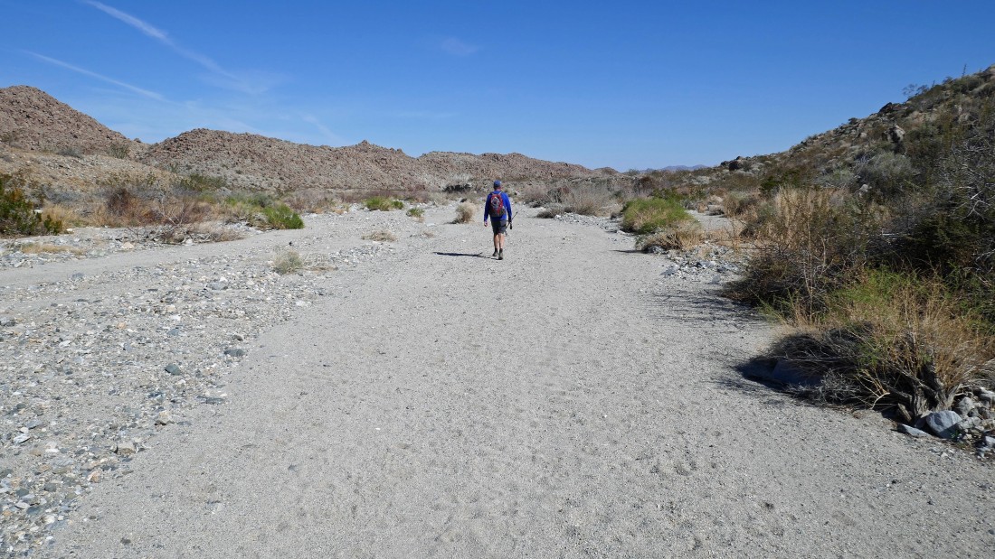
Kerry heads up Porcupine Wash on an obvious path.
|
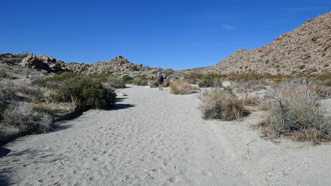
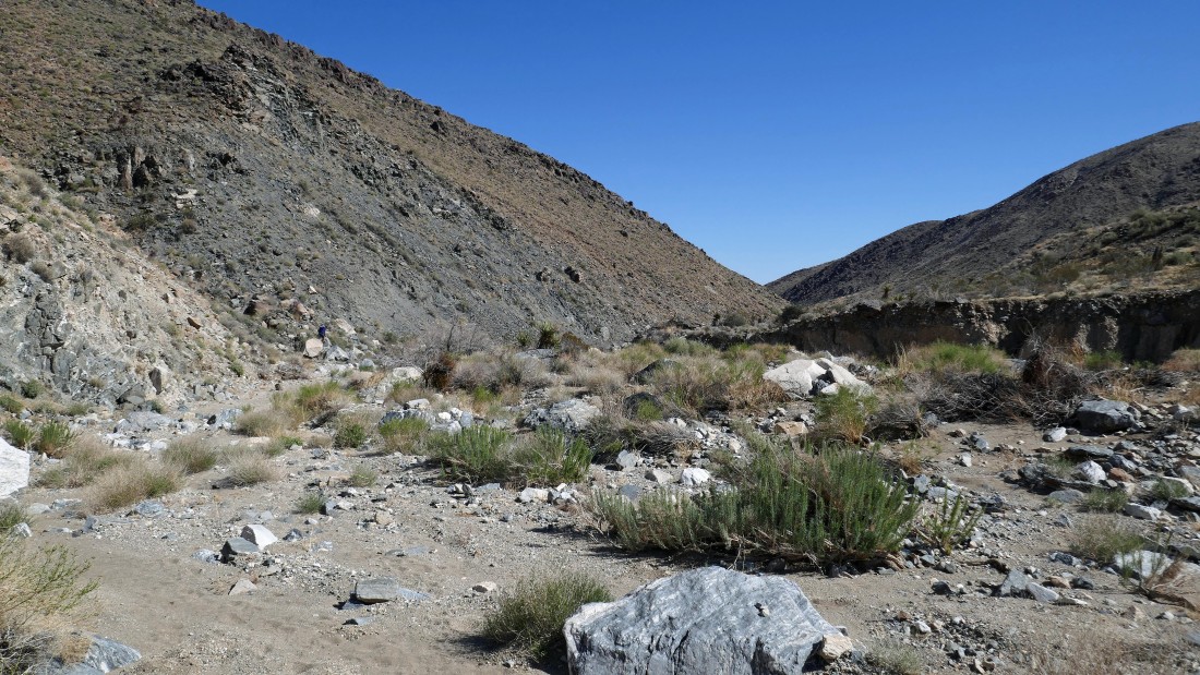
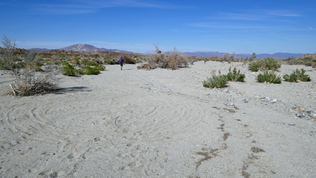
After hiking Porcupine Wash for .7 miles we left the wash and headed NW in a smaller wash to find a path that would take us to the Ruby Lee Mill.
|
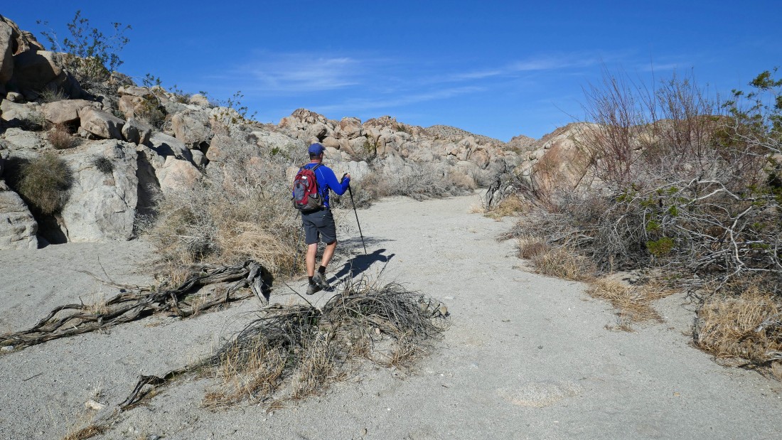
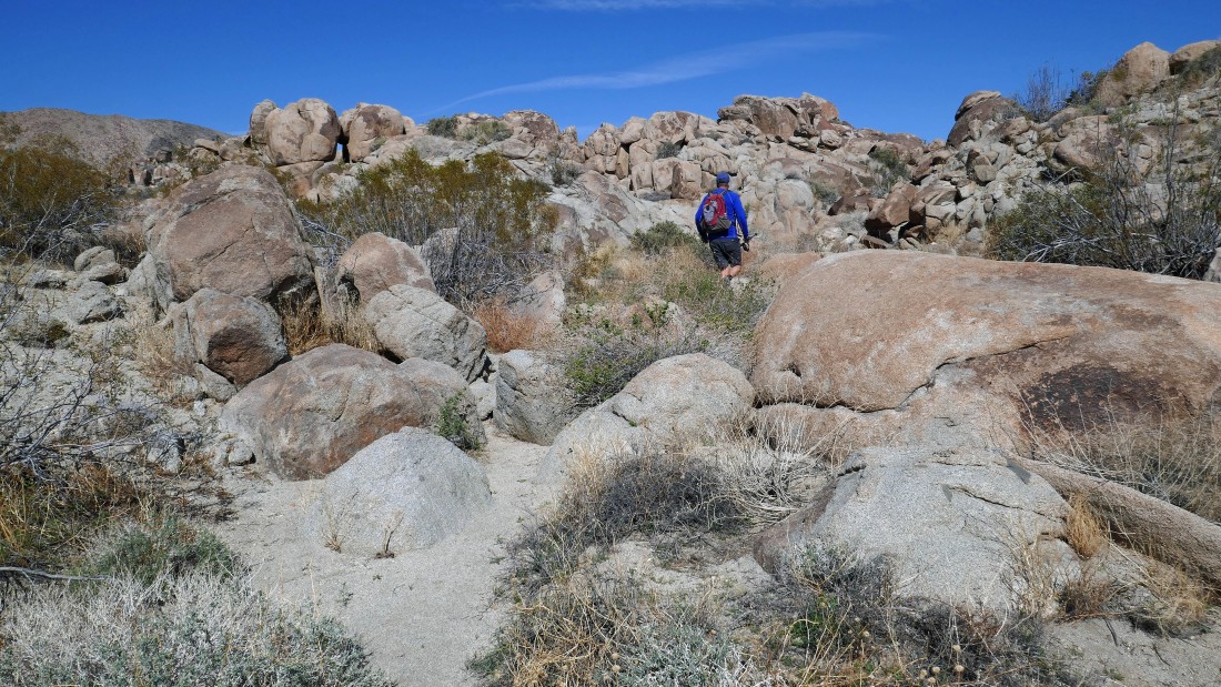
Heading west on a path of sorts in search of the Ruby Lee Mill.
|
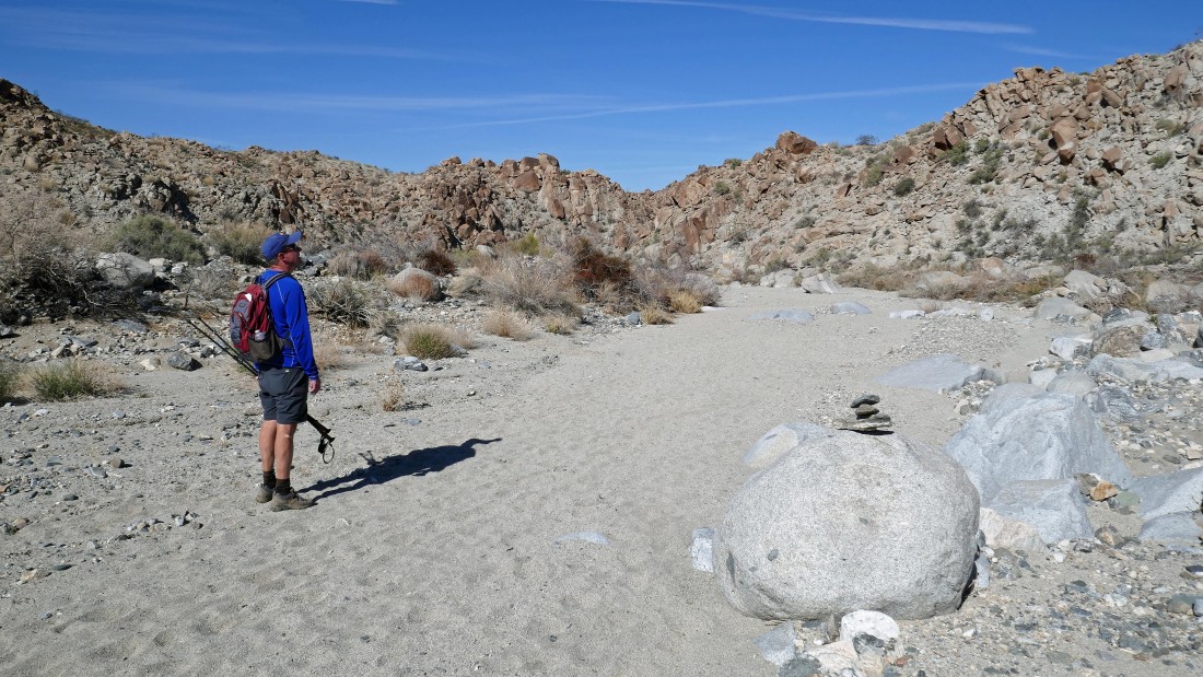
The route narrows in a few places... but no big deal.
|
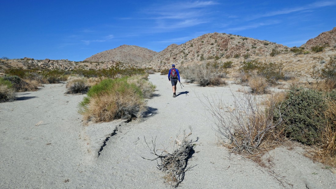
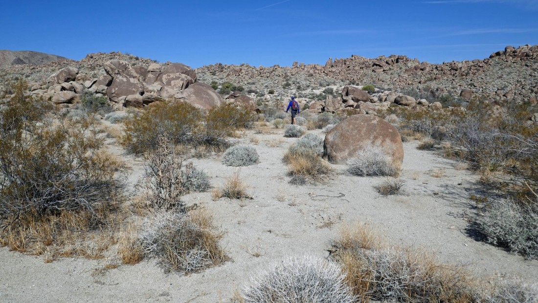
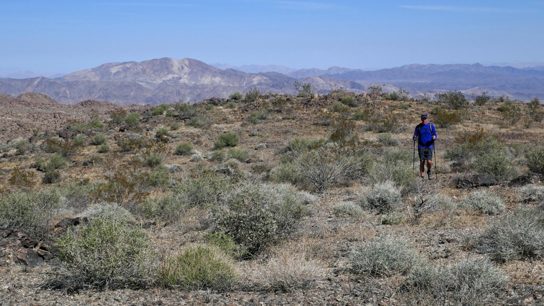
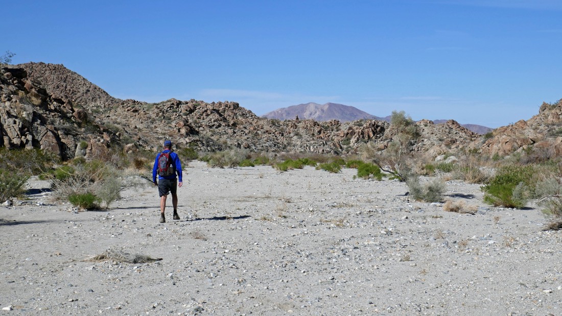
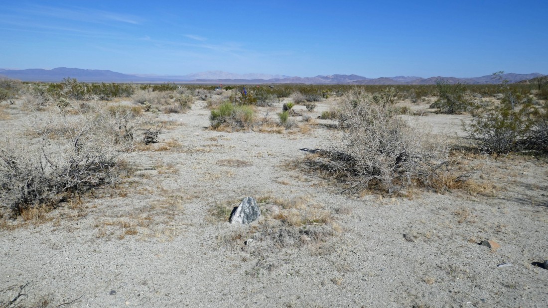
Continuing west in search of the Ruby Lee Mill.
|
Looking north to Pinto Mountain.
|
Looking back... glad I'm running a GPS track... otherwise it could get a little confusing on our return.
|
Getting close to the Ruby Lee Mill.
|
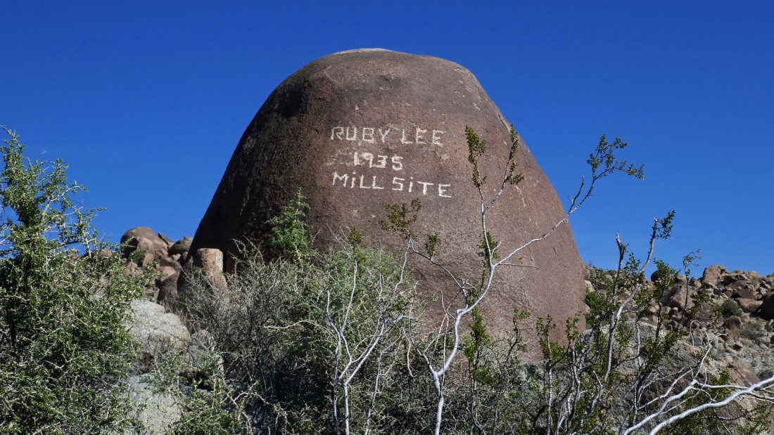
After hiking a total of 3.4 miles we have reached the Ruby Lee Mill... established in 1935.
|
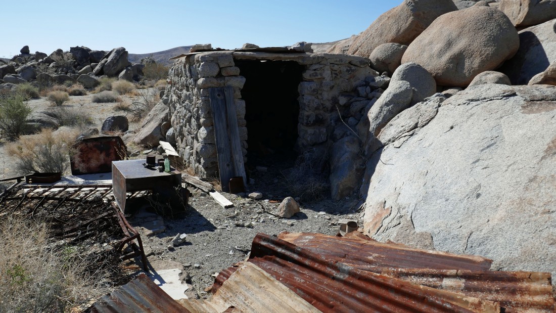
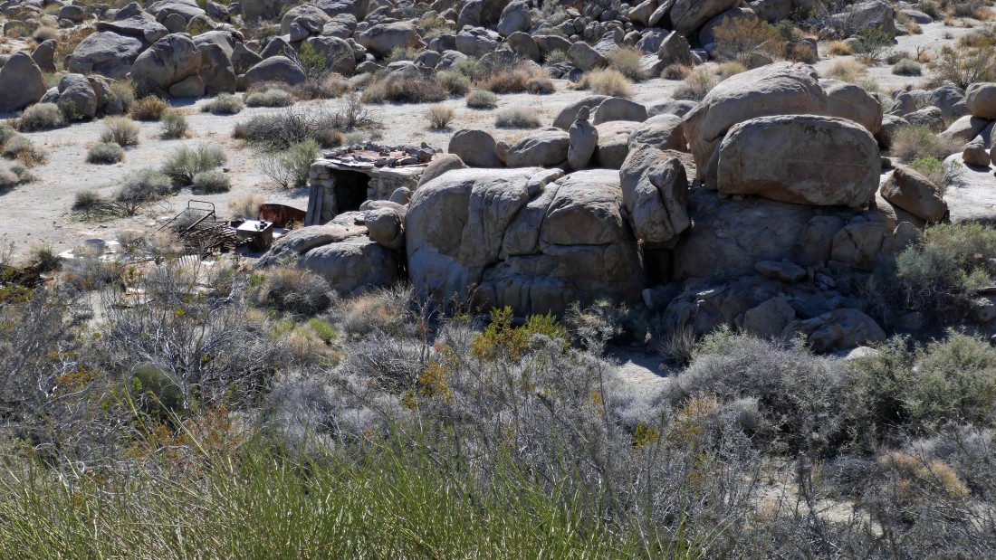
A structure at the Ruby Lee Mill... no idea if people lived in the structure or processed ore here or something like that.
|
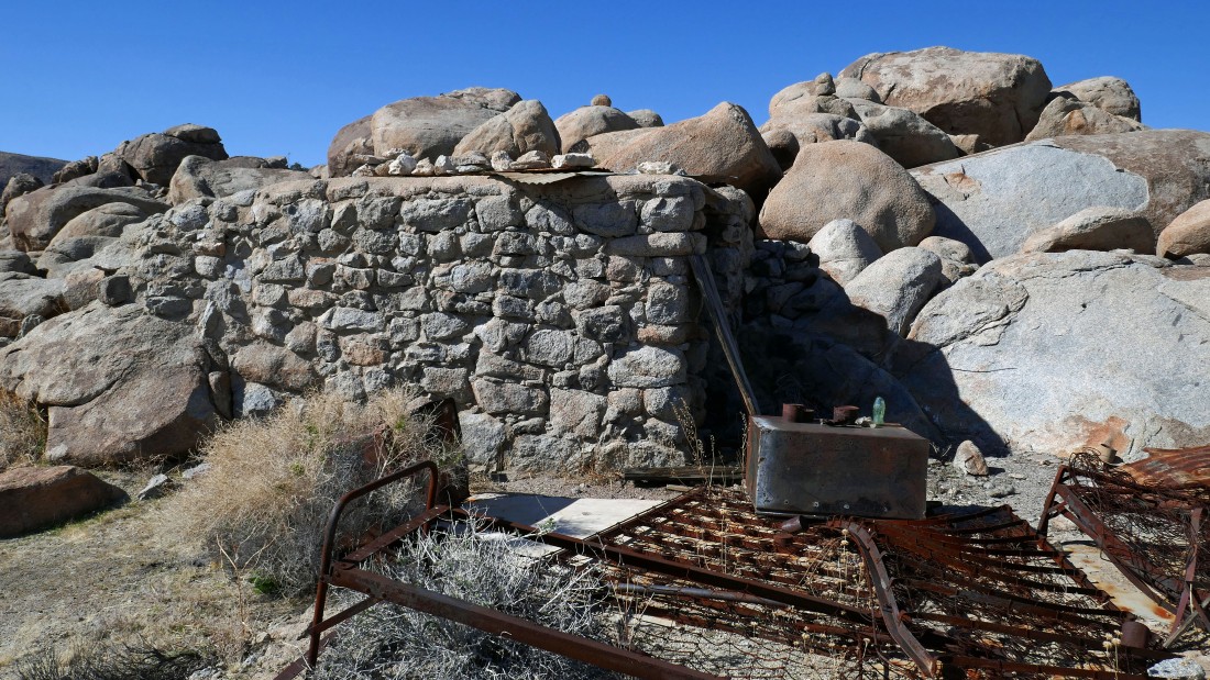
A different angle of the structure at the Ruby Lee Mill.
|
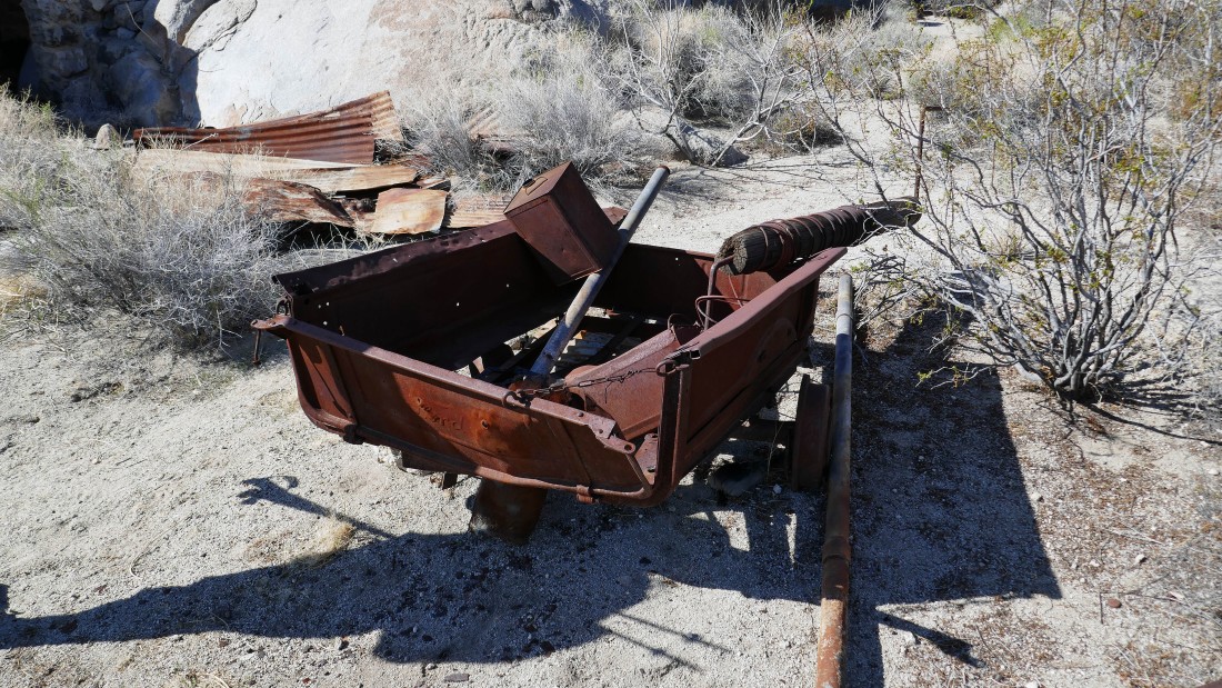
Looks like a truck bed or something with a towing chain.
|
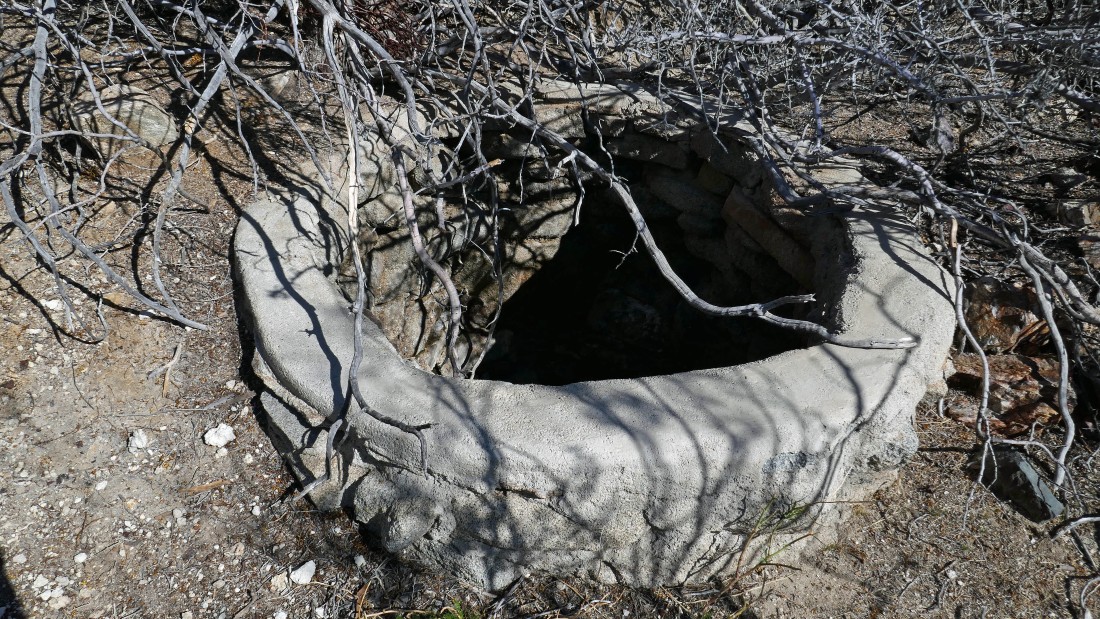
Might have been a well.
|
Continuing west and looking back down on the Ruby Lee Mill.
|
The plan is to continue west for another mile or so... then up and over a ridge to drop down into Porcupine Wash.
|
We are heading for the 'V' in the center of the photo... and will go up to the ridge in that area.
|
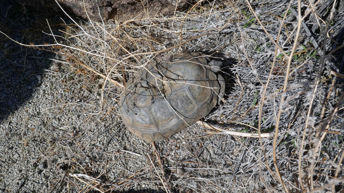
A desert tortoise... we didn't expect to see this dude... it is on the 'threatened' list for endangered species.
|
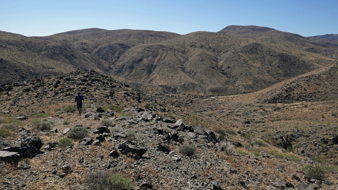
After hiking a total of 4.6 miles we are heading south to go up and over the ridge on the left.
|
After hiking a total of 5 miles we have reached our high point (3566') on the ridge... Pinto Mountain in the left foreground.
|
|
From our high point I am looking north to Pinto Mountain... NE across the massive Pinto Basin to the Coxcomb Mountains on the horizon.
|
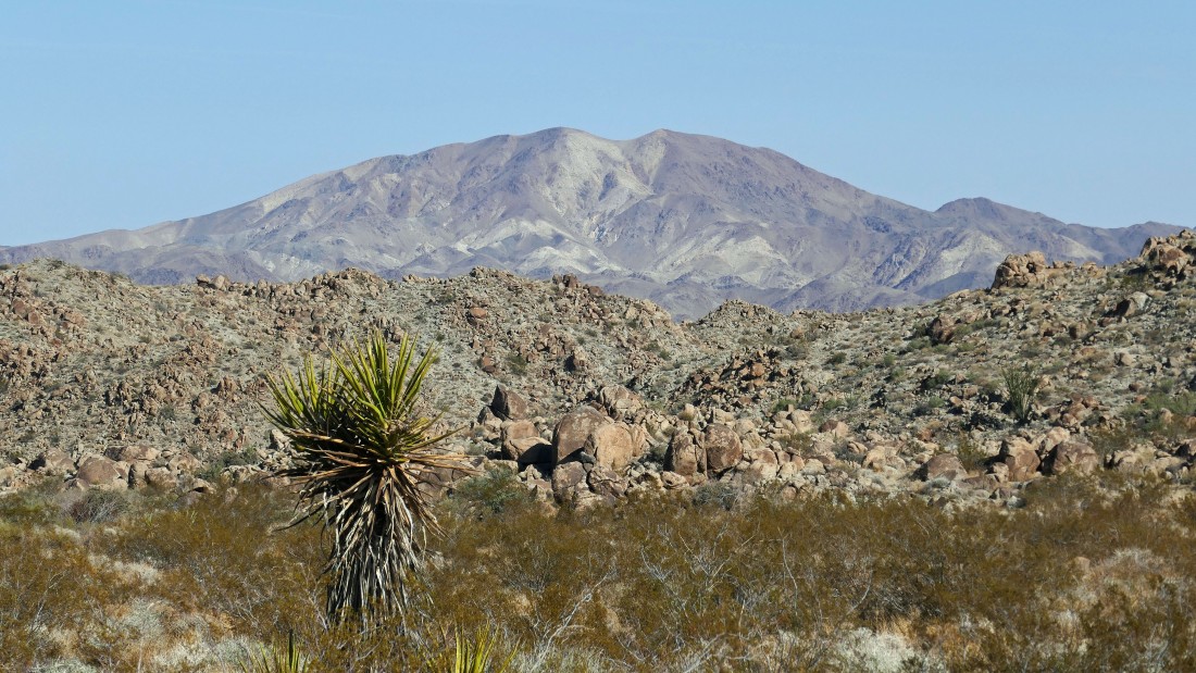
Looking west to Monument Mountain... at 4834 feet it is the highest peak in the Hexie Mountains.
|
Kerry is leaving our high point and heading down to Porcupine Wash.
|
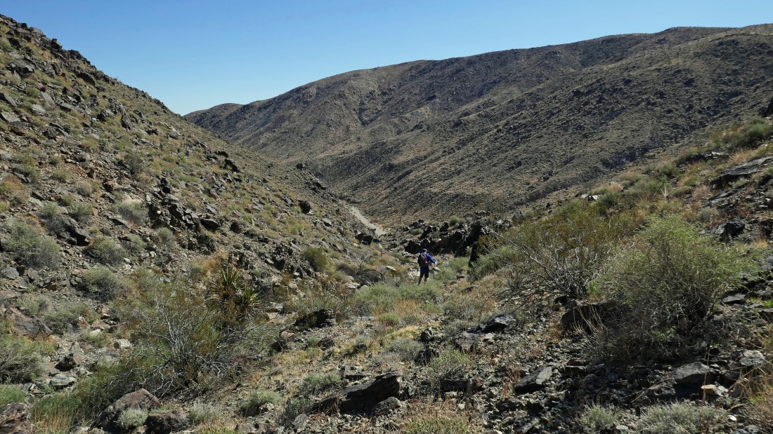
Getting down to Porcupine Wash was not the easiest thing I've ever done.
|
After hiking a total of 5.7 miles we have reached Porcupine Wash... now we will follow the wash back to our car.
|
Heading east in Porcupine Wash.
|
After hiking a total of 9 miles (3.5 miles since dropping into Porcupine Wash) the wash turns to the north.
|
Heading north in Porcupine Wash... with Pinto Mountain on the horizon.
|
We have closed the loop portion of our hike after hiking a total of 10.2 miles... leaving another half-mile or so to get back to the car.
|
A stone's throw from our car even though it is barely visible in the center of the photo... our trip was a total of 10.8 miles, gaining 1183 feet of elevation.
|
