The Throne and Point 5242 on Queen Mountain - 2.24.2020
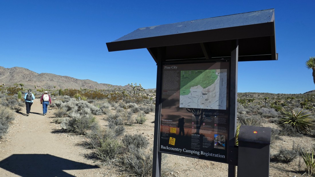
We parked at the Pine City Parking lot... a shared area for Pine City, Desert Queen Mine and Lucky Boy Loop... from the west entrance pay station of Joshua Tree National Park, drive Park Blvd for 15.8 miles and turn left onto Desert Queen Mine Road... then drive 1.3 miles to the trailhead.
|
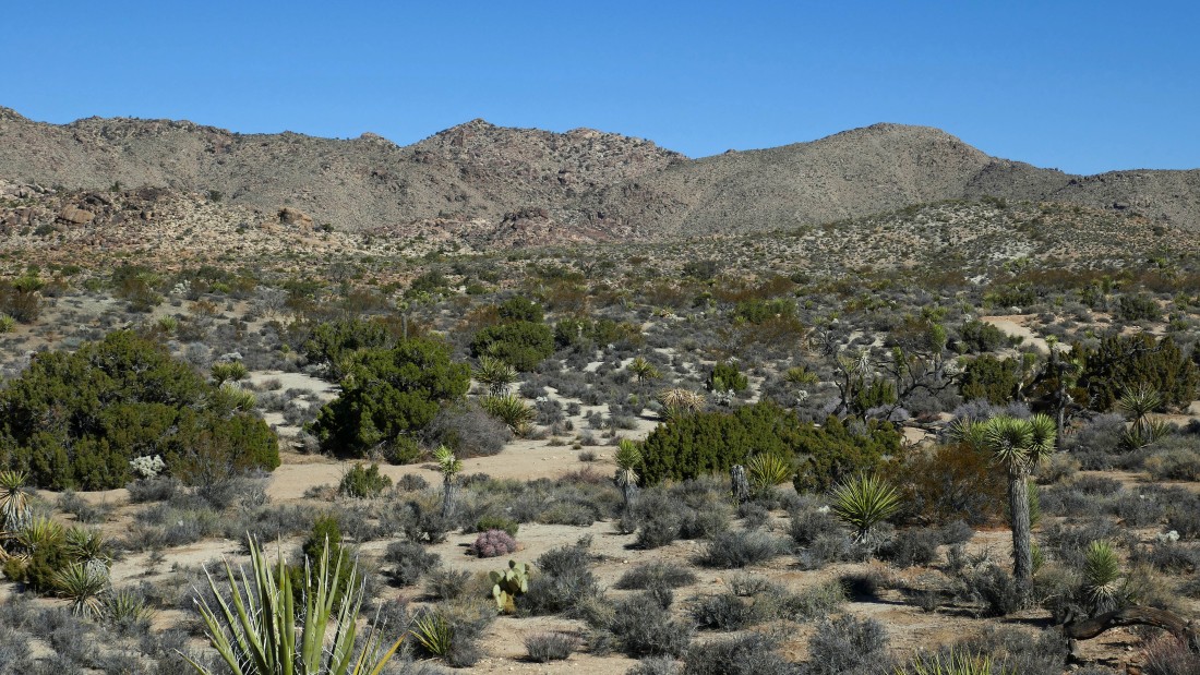
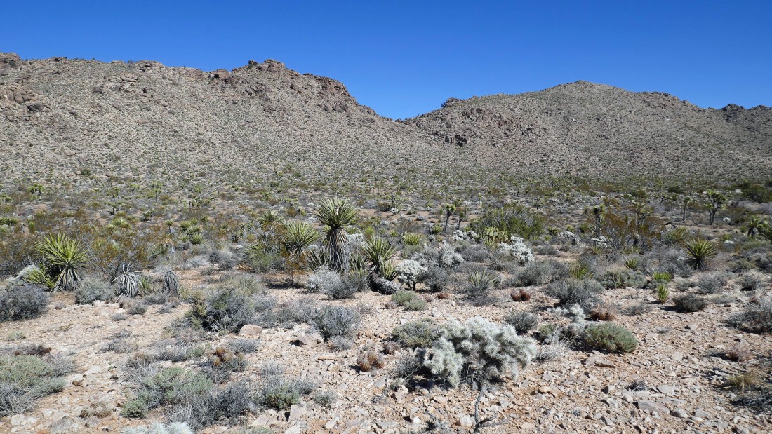
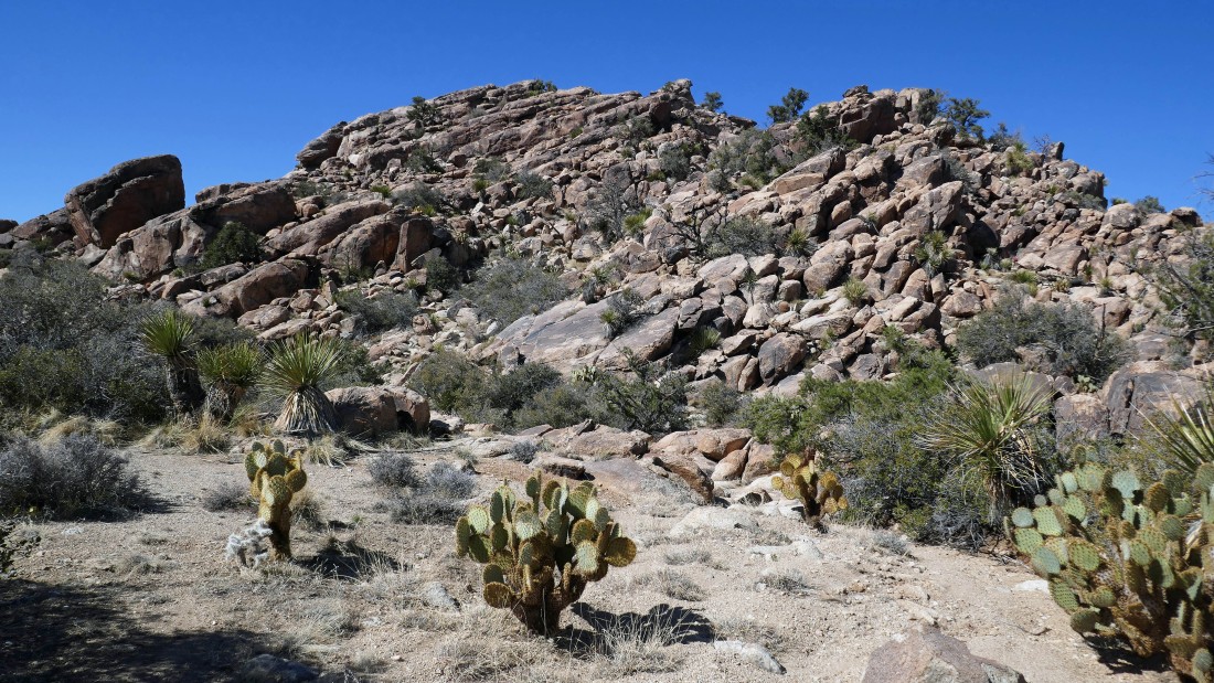
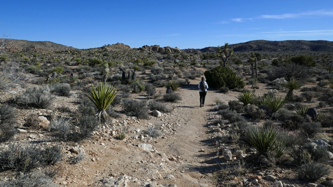
We are hiking on the Pine City Trail... eventually we will head cross country toward the high points out there in the center of the photo.
|
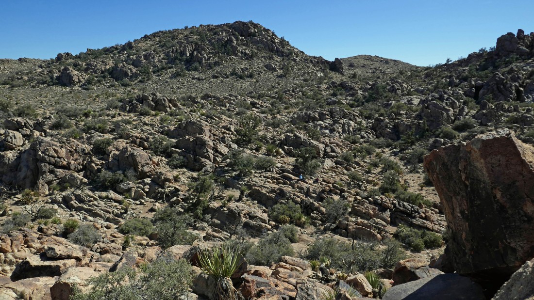
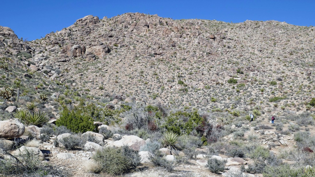
After hiking the Pine City Trail for 1.1 miles we will leave the trail and head cross country toward the high points on Queen Mountain in the right-center of the photo.
|
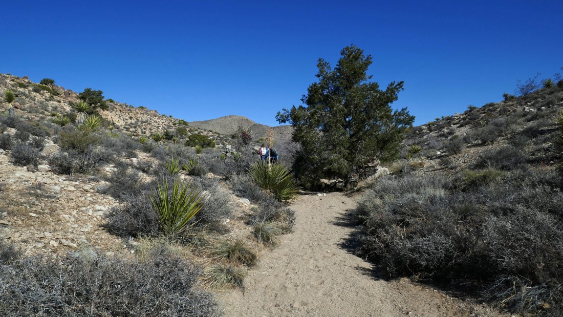
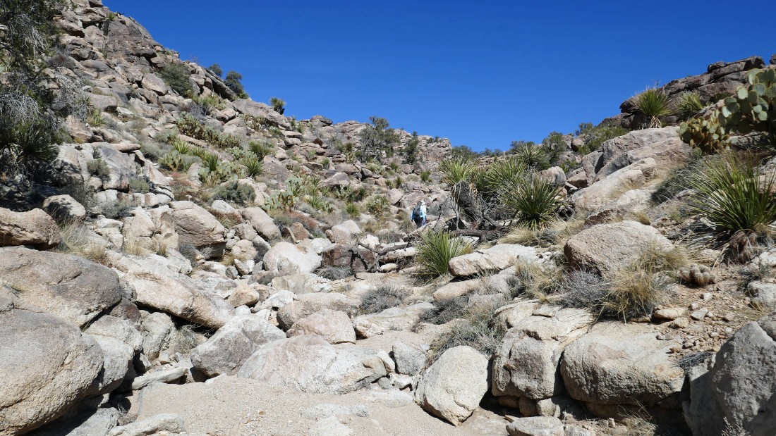
Off trail and following a wash toward our destination.
|
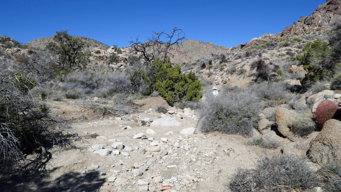
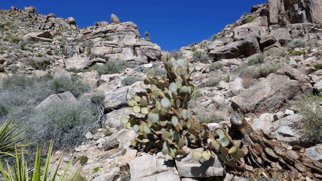
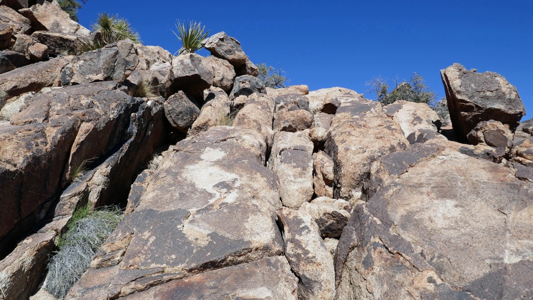
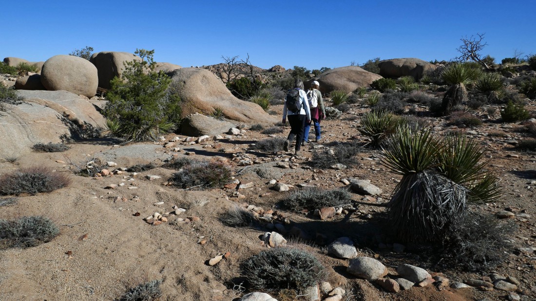
Fairly easy terrain in the wash.
|
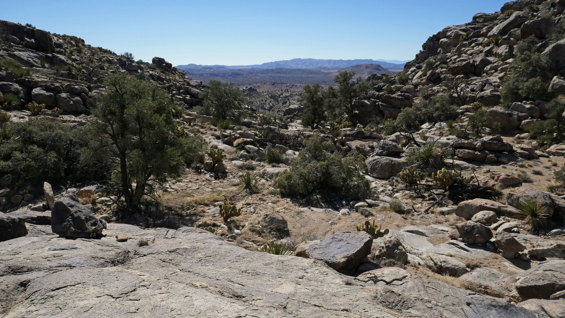
Out of the wash after hiking a total of 1.7 miles... and heading for the 'V' in the center of the photo.
|
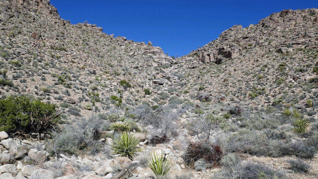
We have reached the base of the 'V'... a dry waterfall.
|
Heading up the right side of the waterfall.
|
I'm near the top of the waterfall... looking back into Queen Valley as Denali Girl works her way over to me on the far left.
|
Almost at the top of the waterfall.
|
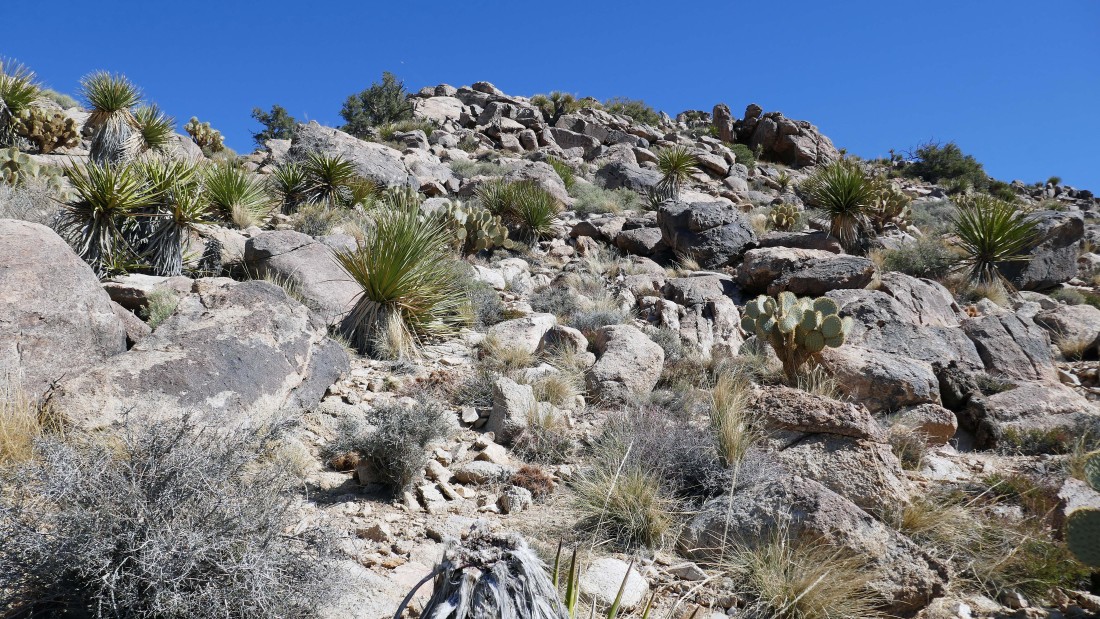
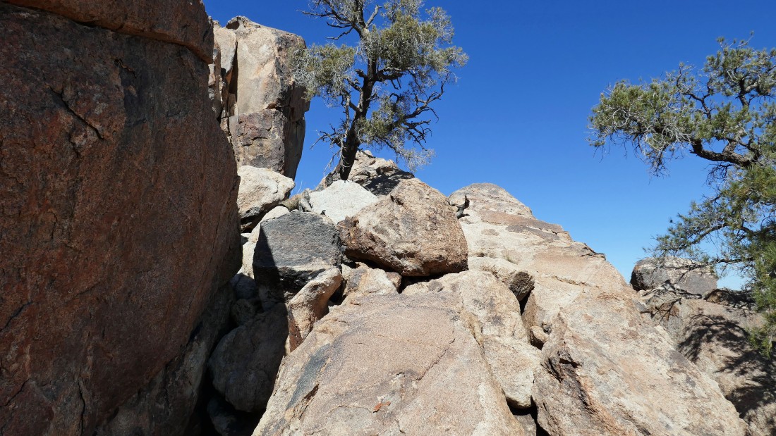
Continuing above the waterfall on the east shoulder of Queen Mountain.
|
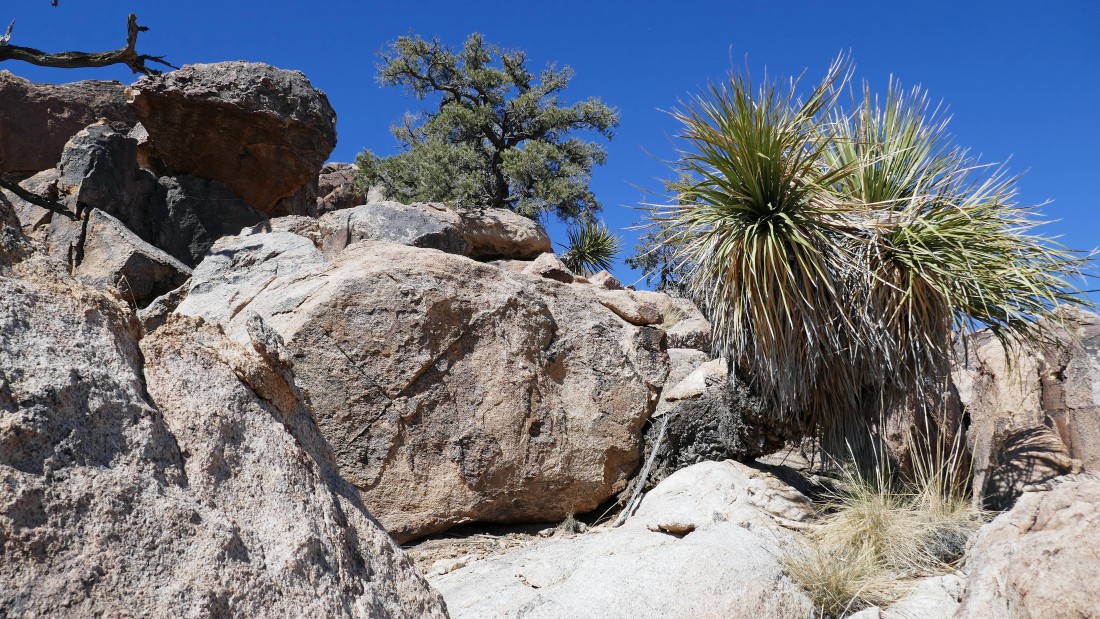
Still gaining elevation on the east shoulder of Queen Mountain... here looking back at the gap we came through at the top of the waterfall.
|
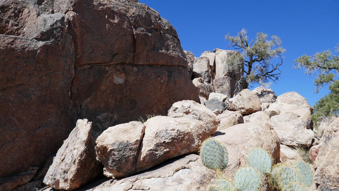
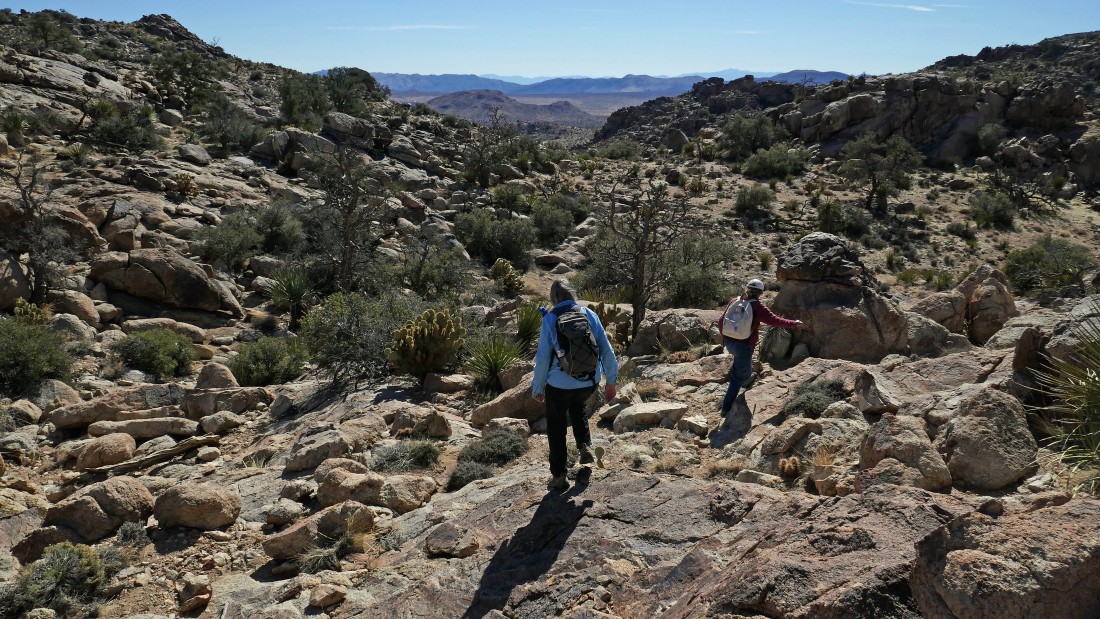
We will head for the low point on the far right that will lead us to what Star Dancer refers to as 'Sky Camp'.
|
I decided to scramble up to Point 5242 and rejoin the ladies at Sky Camp.
|
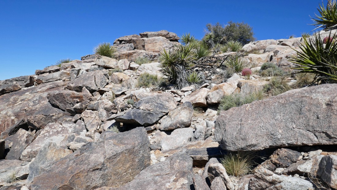
Getting to the top of Point 5242 was an easy Class 2 scramble.
|
|
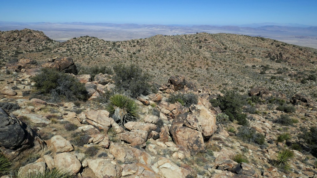
After hiking a total of 3.7 miles I am on top of Point 5242... looking north out to Yucca Valley.
|
On top of Point 5242... looking east beyond the north entrance to the park at Twentynine Palms Mountain.
|
On top of Point 5242... looking south... at our route up the waterfall in the foreground... and beyond across Queen Valley to the Eagle Mountains (left horizon), the Hexie Mountains (middle horizon) and the Little San Bernardino Mountains on the right horizon.
|
I have left the summit of Point 5242... and will work my way down to Denali Girl and Star Dancer down there in the flattish area known as Sky Camp.
|
Rejoining Star Dancer and Denali Girl at Sky Camp.
|
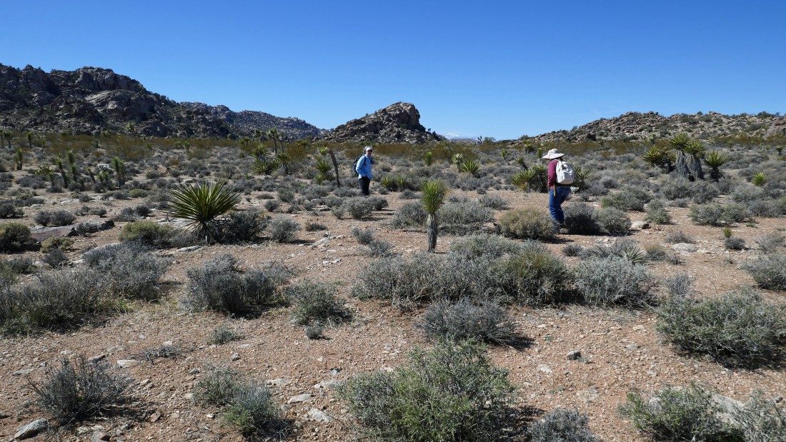
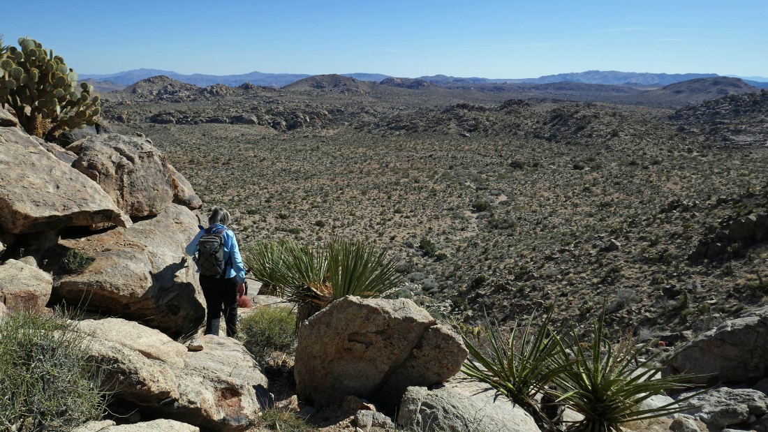
Hiking across Sky Camp... heading toward what Star Dancer calls 'The Throne' in the center of the photo... I am definitely interested in giving it a try.
|
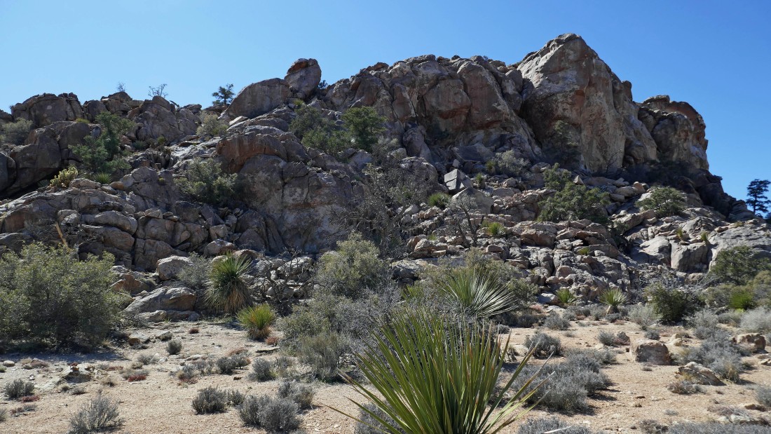
The NE side of The Throne... I will look for a more promising route on the east side.
|
On the east side of The Throne... I will start up the slabs on the right.
|
Heading up.
|
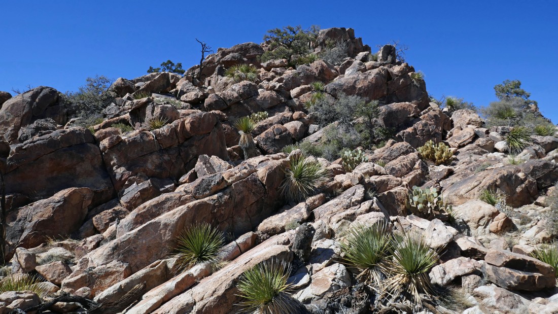
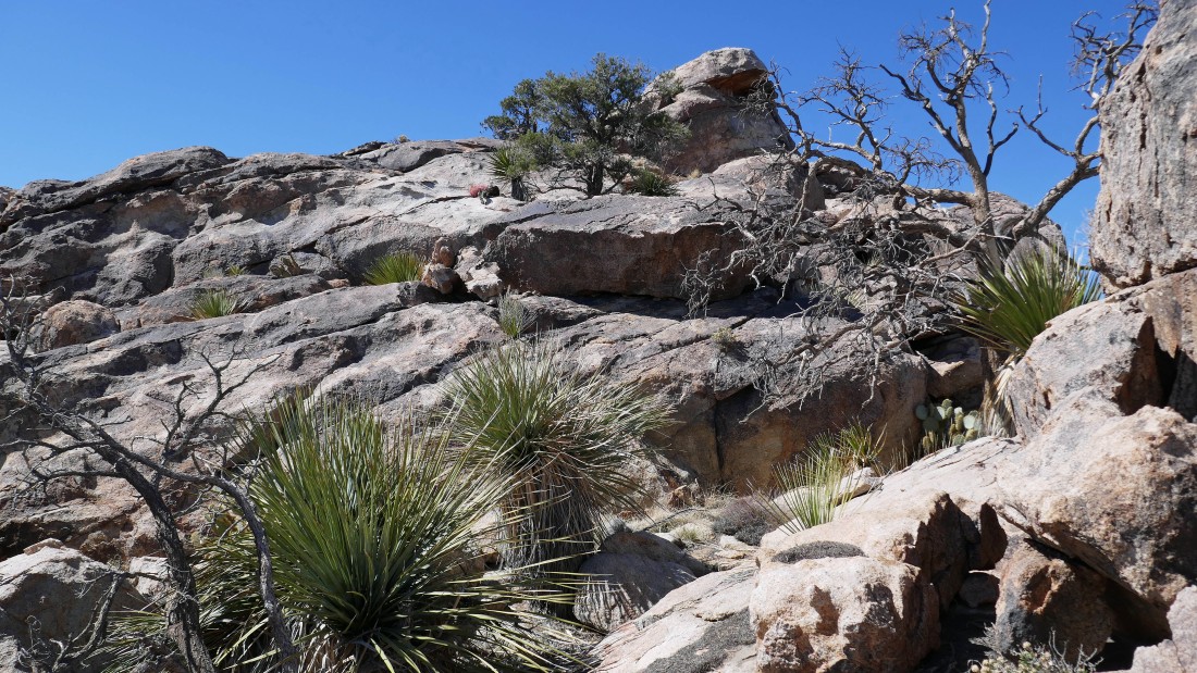
Just following my nose up The Throne... like solving a puzzle.
|
Continuing up The Throne.
|
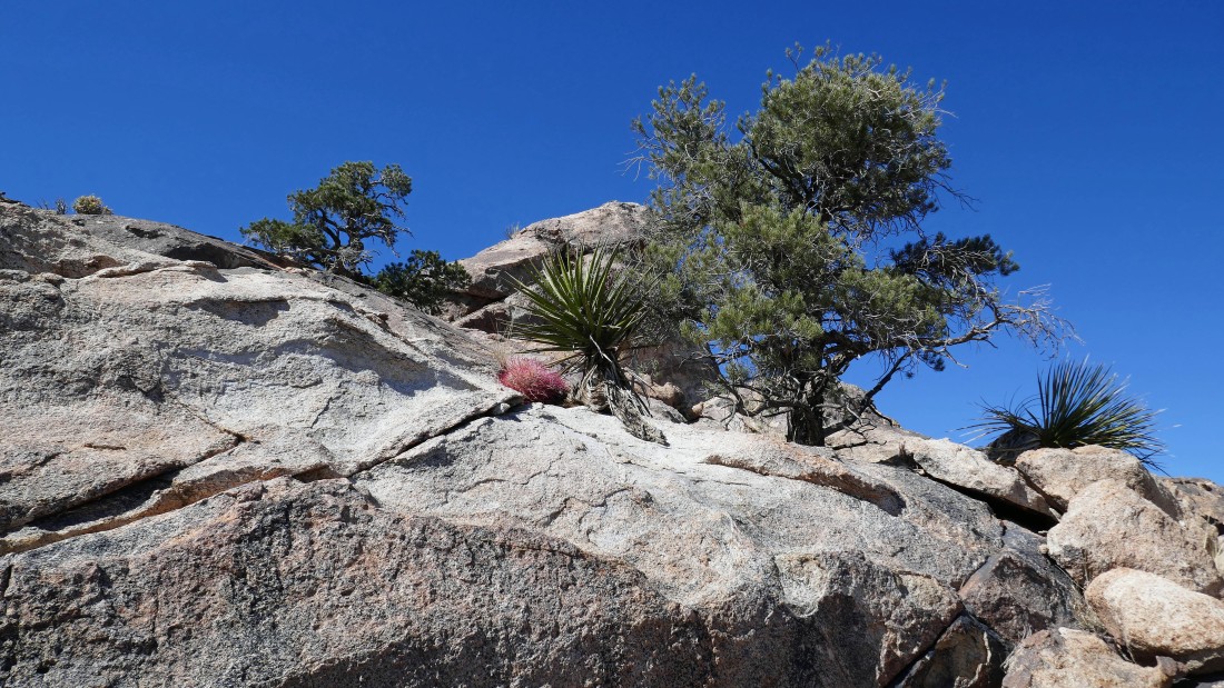
Continuing up The Throne.
|
Continuing up The Throne.
|
Wow... I still have some work to do.
|

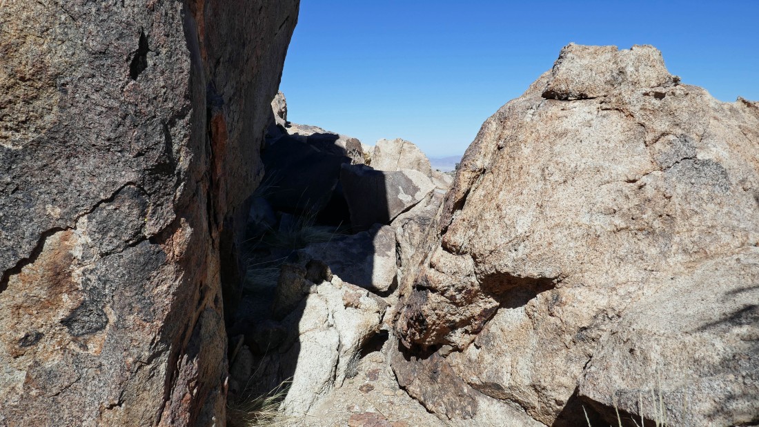
This little tunnel was very helpful... I had to take off my pack to get through it.
|
Almost to the top of The Throne.
|
Standing on top of The Throne (~5160') after hiking a total of 4.7 miles... looking north to Yucca Valley... I only took one photo from the summit because the wind was trying to knock me off.
|
Denali Girl took this photo of me on the summit... just a speck... we are all so small.
|
Almost back down from The Throne... I can see the ladies below waiting for me... Point 5242 is in the left foreground.
|
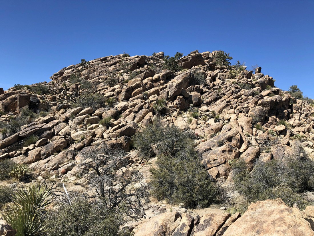
Looking back at The Throne as we leave it... I had started up from the slabs on the far right... if I did it again, I think I would try going up the center of the photo.
|
Heading out of Sky Camp and heading for the waterfall in the foreground.
|
Denali Girl starting down the left side of the waterfall... heading down to Queen Valley.
|
At the bottom of the waterfall up there on the far left.
|
Almost back to the Pine City Trail after hiking a total of 7.6 miles... leaving a 1.1 mile trail hike back to the car.
|
The parking lot is in view... the hike/scramble was 8.7 miles, gaining 1307 feet of elevation.
|
