Outer Mongolia - 2.27.2020
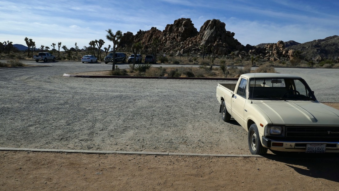
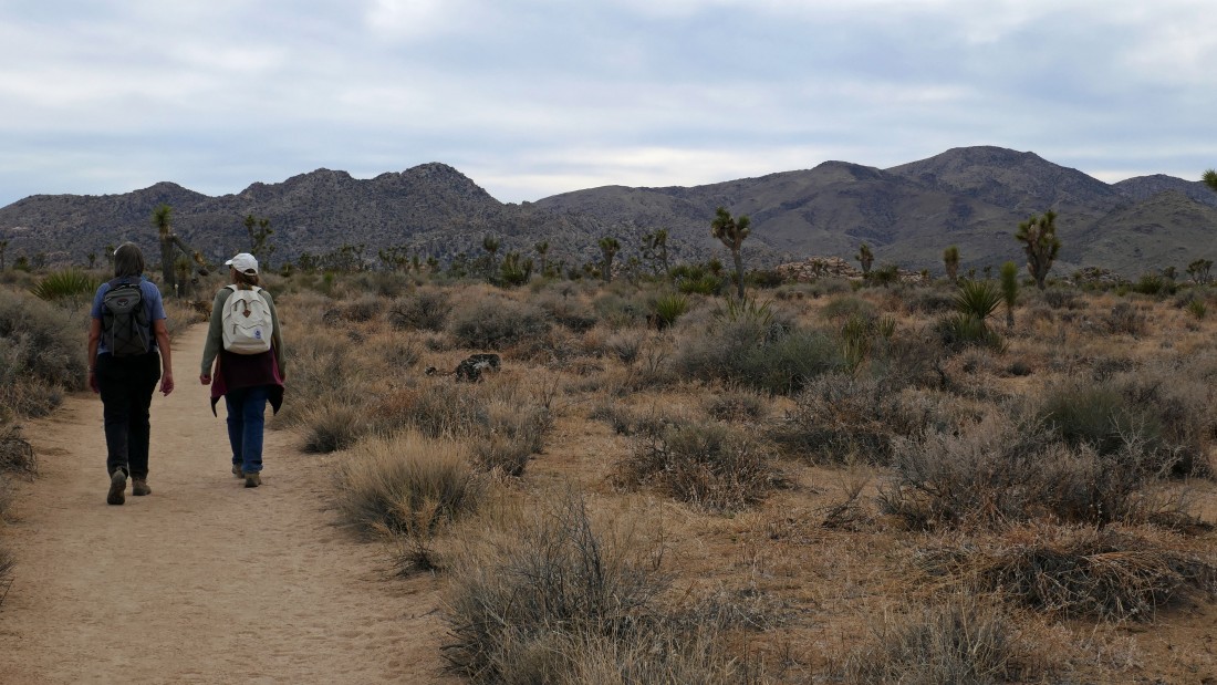
We parked at the upper Boy Scout Trail in Joshua Tree National Park... from the west entrance pay station of the park... drive Park Blvd 6.5 miles to the trailhead.
|
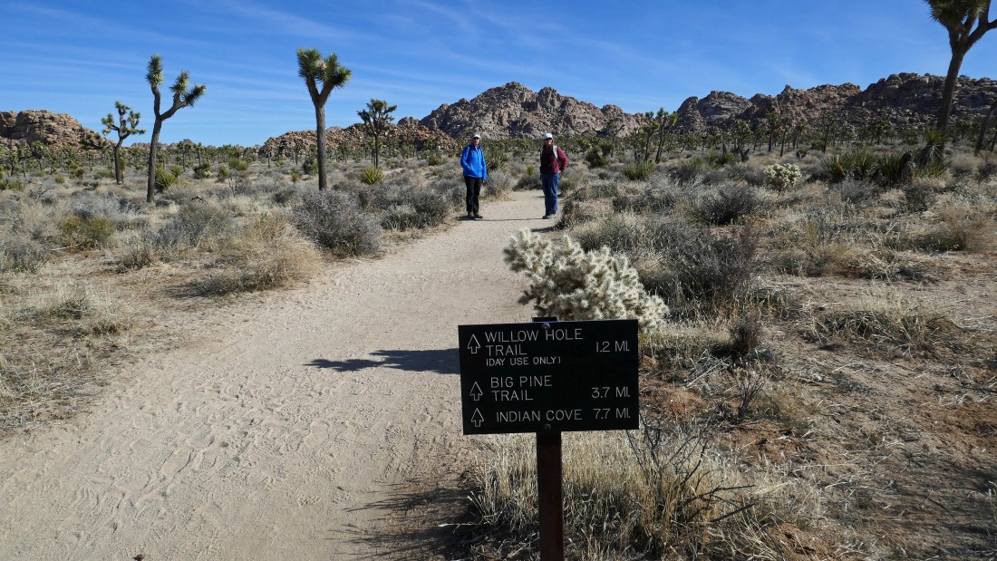
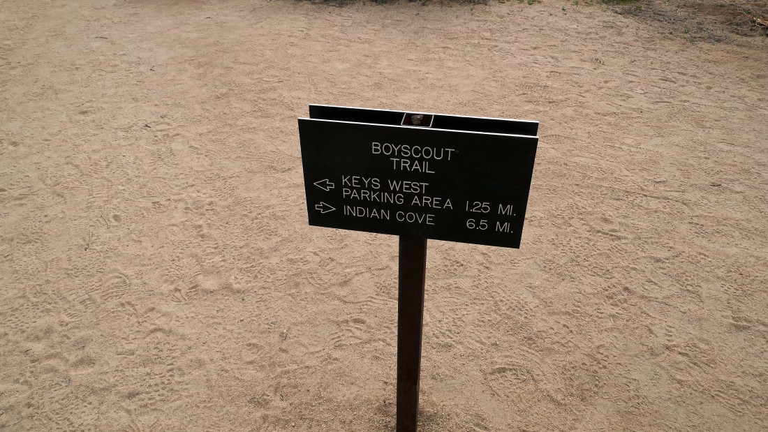
Not sure why this sign isn't at the trailhead... but it is located a couple hundred feet down the trail.
|
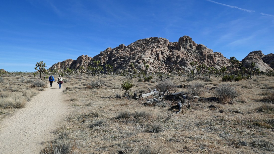
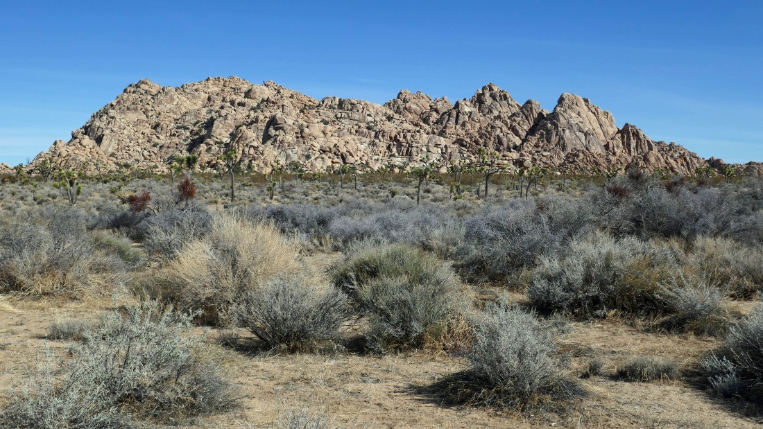
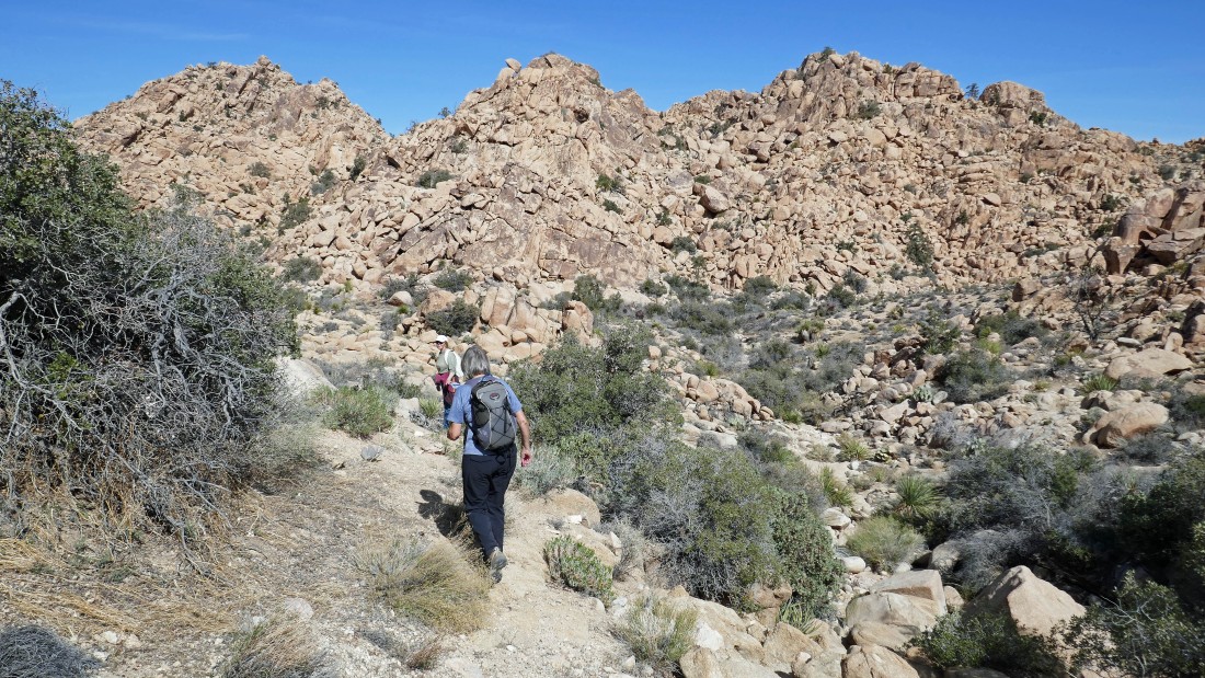
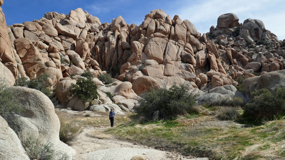
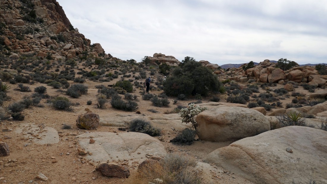
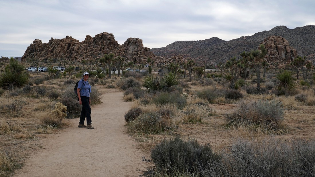
Nearing the massive rock formations known as Ellsmere Island.
|
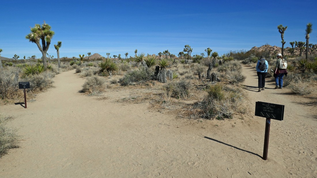
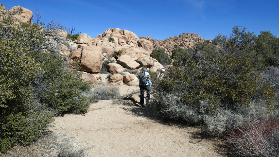
After hiking a total of 1.3 miles we are leaving the Boy Scout Trail and hiking on the Willow Hole Trail... heading for Outer Mongolia... the huge rock formation out there on the far right.
|
Heading directly toward Outer Mongolia.
|
A closer look at Outer Mongolia... we will circumnavigate it today.
|
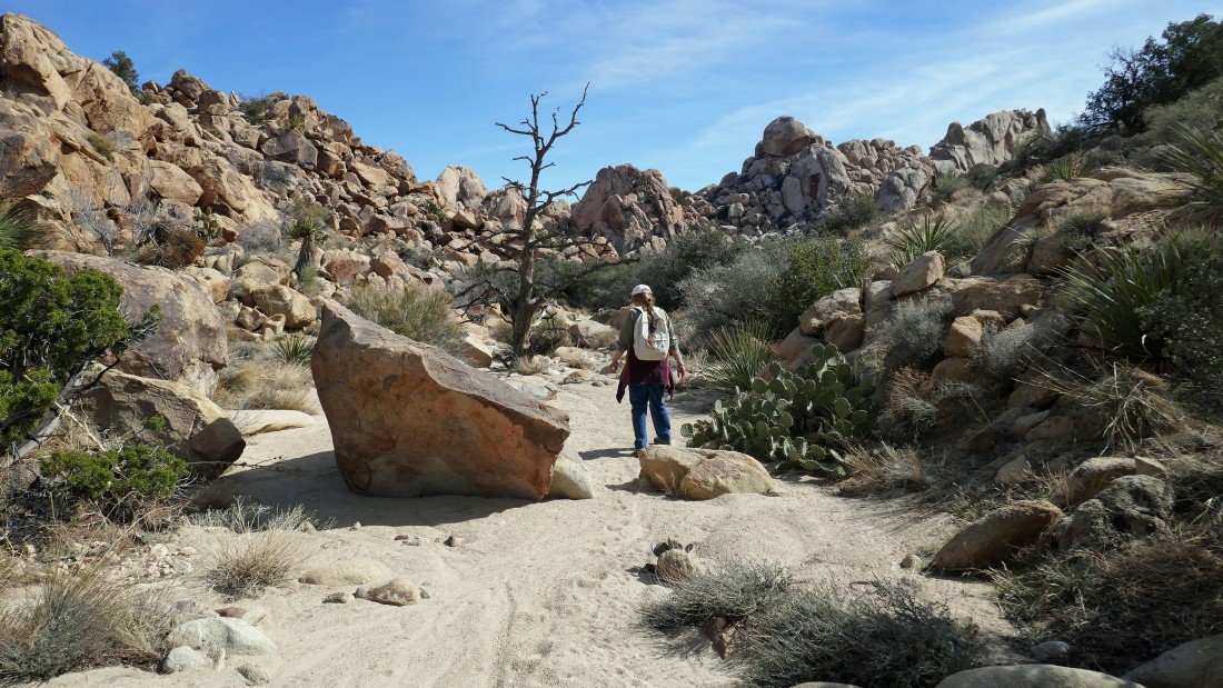
After hiking a total of 2.4 miles we have left the Willow Hole Trail and are heading along the east side of Outer Mongolia.
|
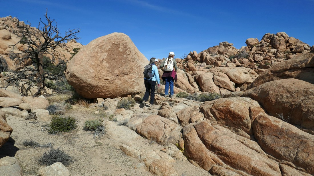
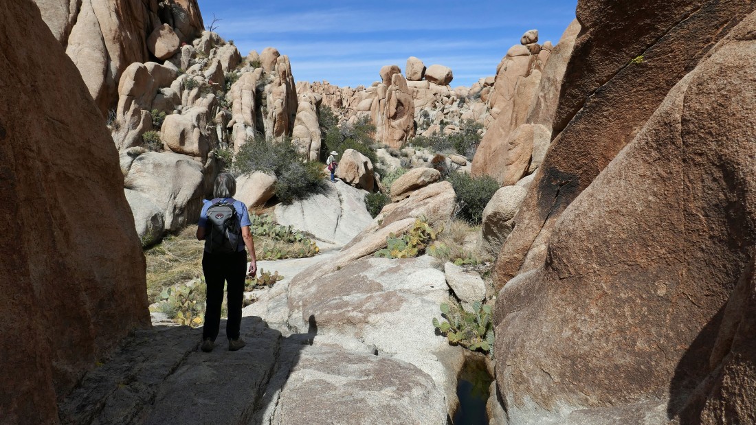
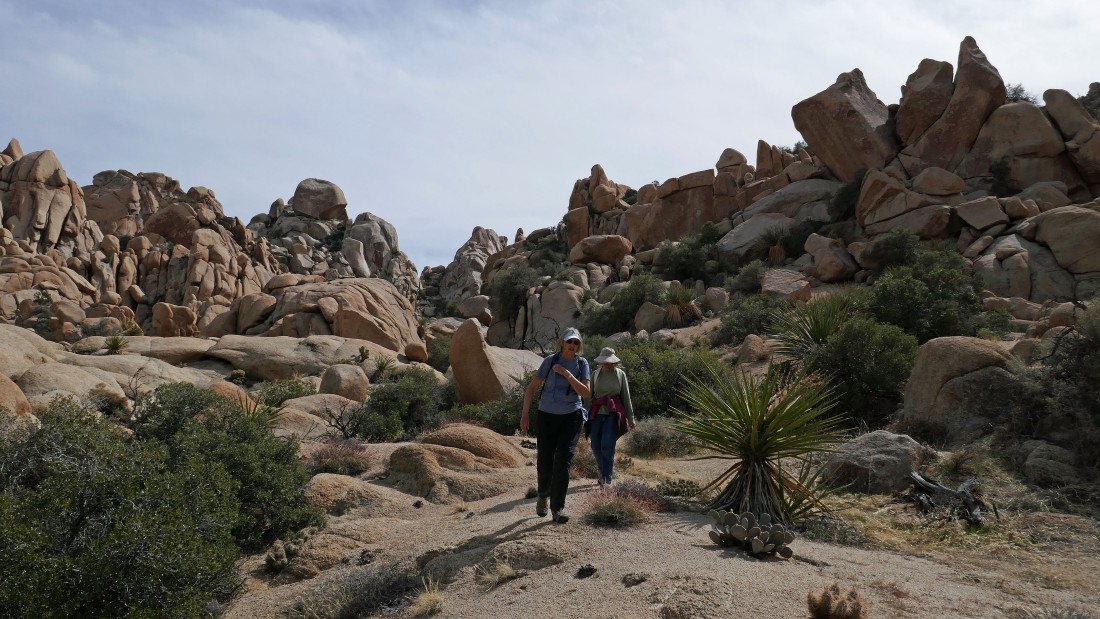
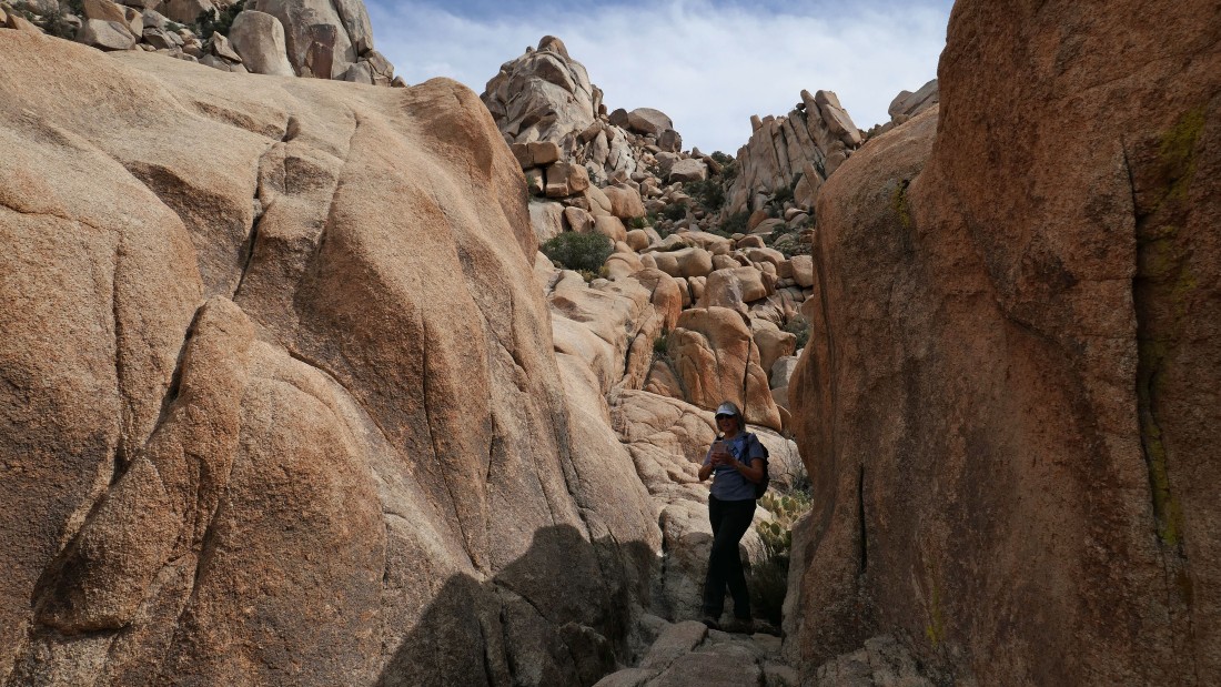
Into some nice rocks immediately after leaving the Willow Hole Trail.
|
Hiking north between the east side of Outer Mongolia on the left... and that must be Inner Mongolia on the right.
|
Are we having fun yet?
|
Heading for Inner Mongolia... when we run into the rock we will turn right (east) and go deeper into the Wonderland of Rocks.
|
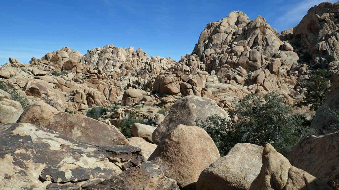
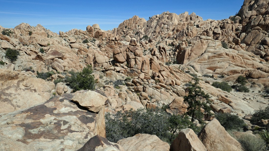
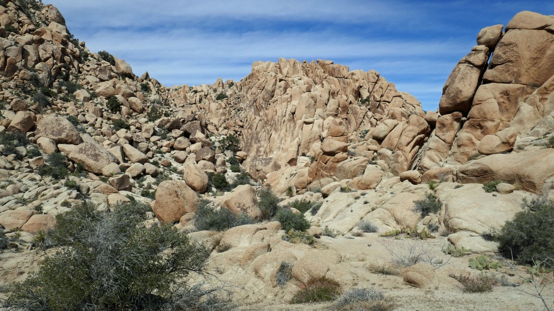
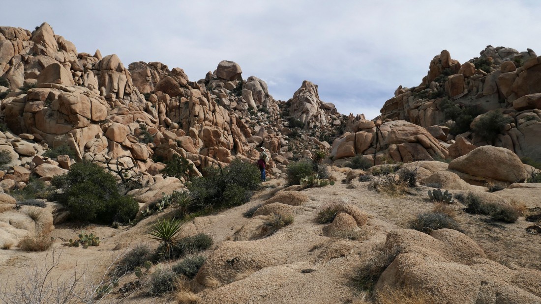
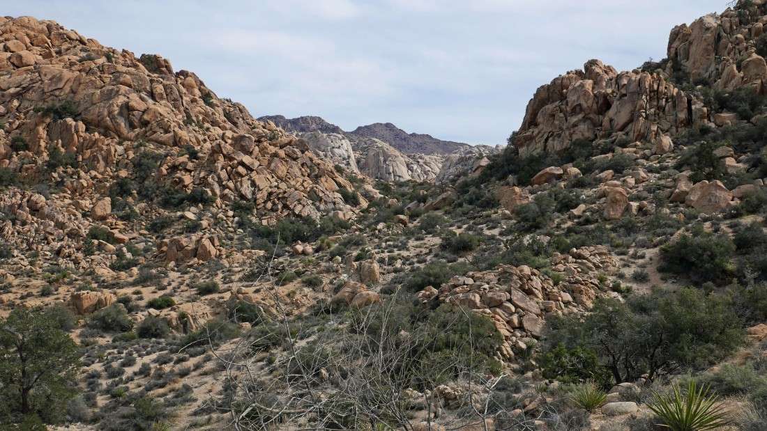
Heading deeper into the Wonderland of Rocks... looks like some impressive rock formations in the distance.
|
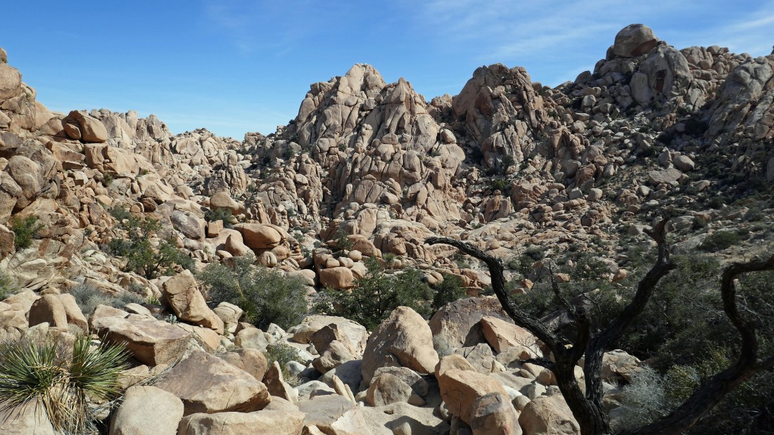
Closer to those impressive rock formations... but it looks like we have some work to do to get down in there.
|
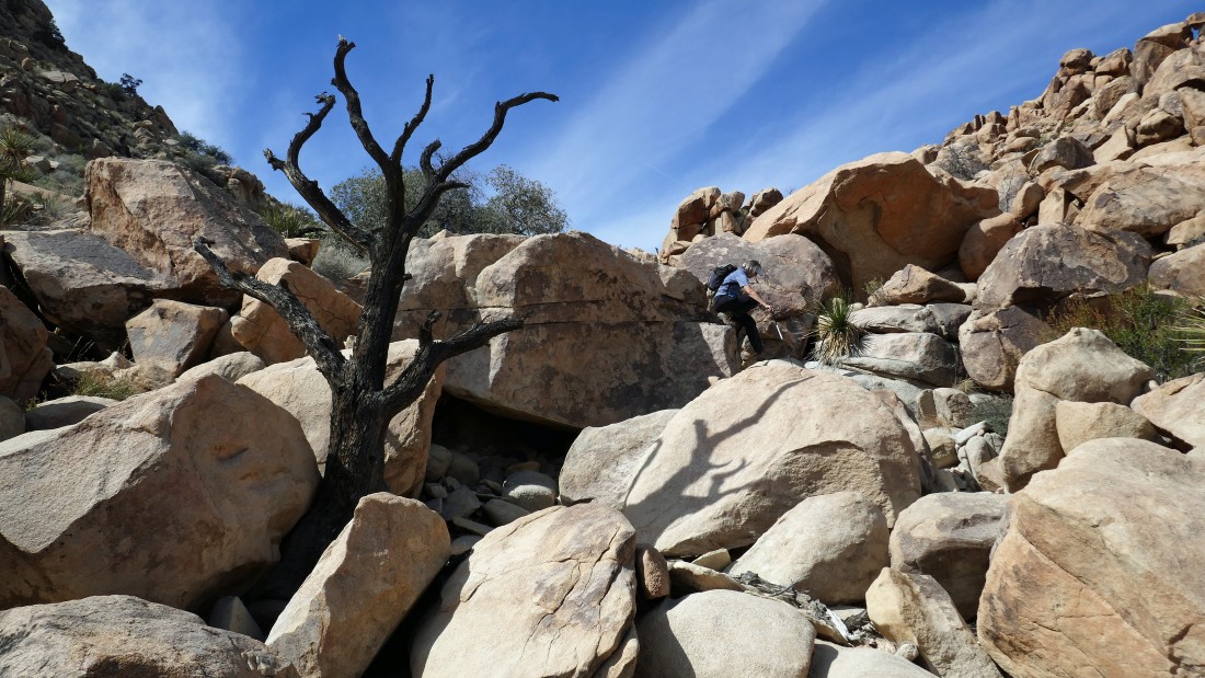
Denali Girl comes down what seemed like a dry waterfall.
|
Still trying to get down to the floor of this shelf.
|
Still trying to get down to the floor of this shelf.
|
A pano shot as we try to get down to the floor of this shelf.
|
Looking back at our route down the dry waterfall.
|

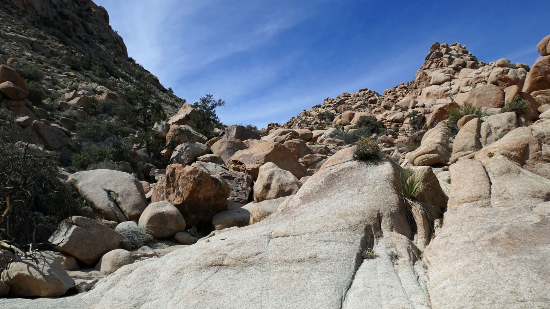
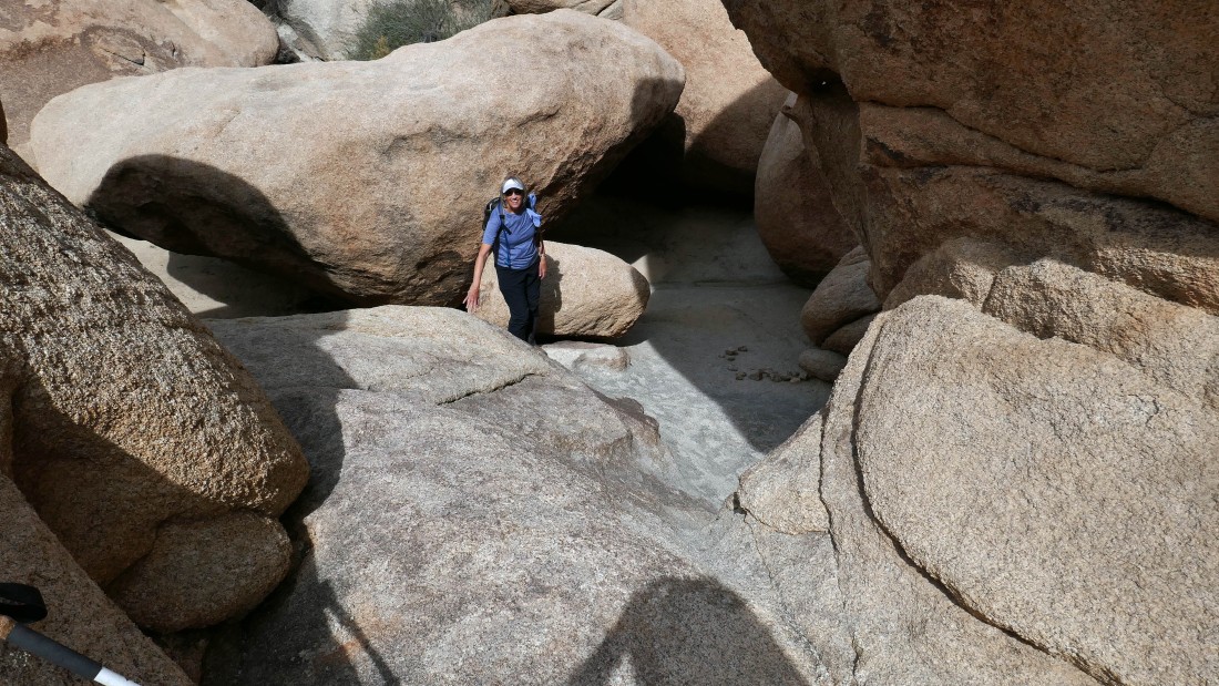
We have reached the floor of the shelf... that huge boulder up high on the left will be a nice landmark to help us get back to this spot... looks like a helmet to me and that is what we called it the rest of the day.
|
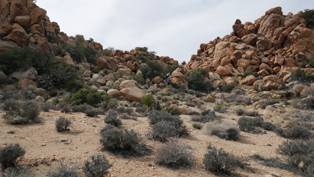
Denali Girl and Star Dancer continue down the canyon.
|
Looking back as Denali Girl continues down the canyon... the Helmet is up high on the far right.
|
Our lunch spot... we will continue on down the canyon after lunch.
|
Looking back as Denali Girl and Star Dancer continue down the canyon to meet me... the Helmet is back there in the left center of the photo.
|
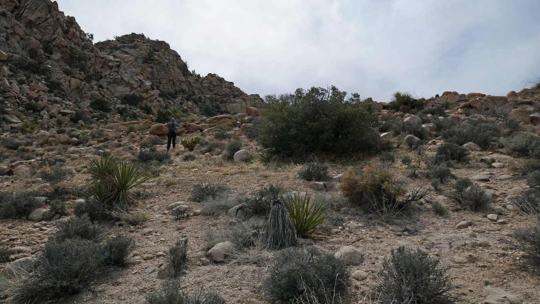
Denali Girl is in scramble terrain.
|
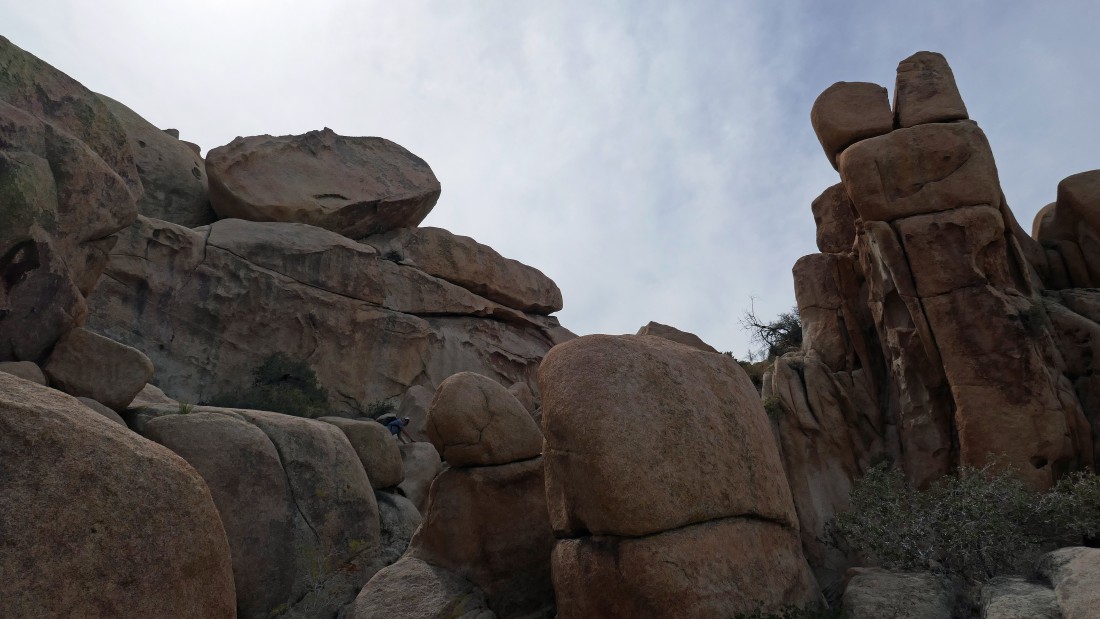
Denali Girl is in scramble terrain.
|
Denali Girl is in scramble terrain... after hiking a total of 4.1 miles this is as far as we got down the canyon... time to trace our steps back for awhile.
|
Back at our lunch spot... tracing our steps back up the canyon... the Helmet is up there in the left center of the photo.
|
Heading back up the canyon.
|
Back at the top of the dry waterfall... looking back where we were earlier.
|
Continuing along the north side of Outer Mongolia... looking over at the gap we came through between Inner Mongolia on the left and Outer Mongolia on the right... we can see part of the Wonderland of Rocks and Queen Mountain on the other side of the gap.
|
Continuing along the north side of Outer Mongolia.
|
Continuing along the north side of Outer Mongolia.
|
Continuing along the north side of Outer Mongolia.
|
Continuing along the north side of Outer Mongolia.
|
Continuing along the north side of Outer Mongolia.
|
|
Working our way over to the west side of Outer Mongolia... we can see Ellsmere Island out there in the distance on the right... at this point we know that we will survive.
|
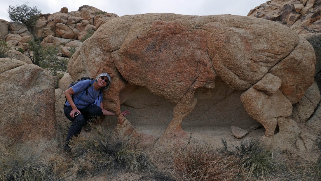
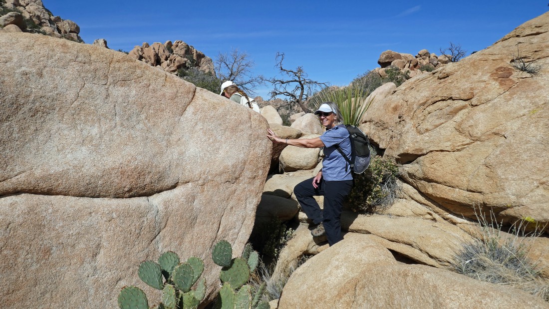
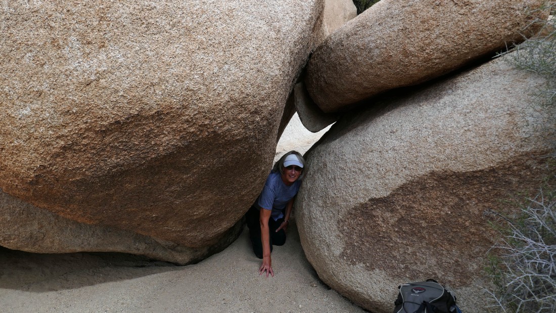
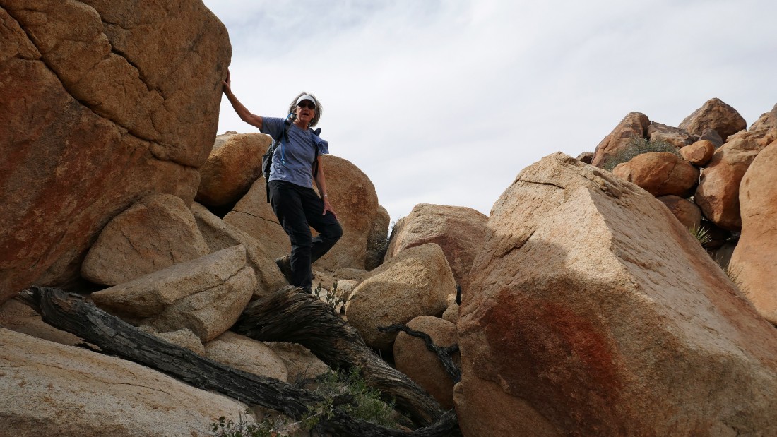
Denali Girl reaches through a boulder to say hi.
|
After hiking a total of 6.3 miles we have rejoined the Willow Hole Trail... completing our circumnavigation of Outer Mongolia... that's Quail Mountain (the high point in the park) out there on the far right.
|
After hiking a total of 6.7 miles we have rejoined the Boy Scout Trail... leaving a 1.3 mile hike back to the car.
|
The Boy Scout Trail parking lot is in view... our hike/scramble was 8 miles, gaining 700 feet of elevation.
|
