Crown Prince Lookout, Point 4558 and Crown Prince Mine - 3.4.2020
Looking back at where we parked on Park Blvd... an 8.2 mile drive on Park Blvd from the north pay station to Joshua Tree National Park... we just parked on the side of the road... there is no official parking area.... Queen Mountain is back there on the horizon.
|
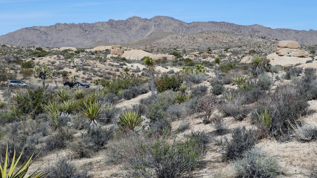
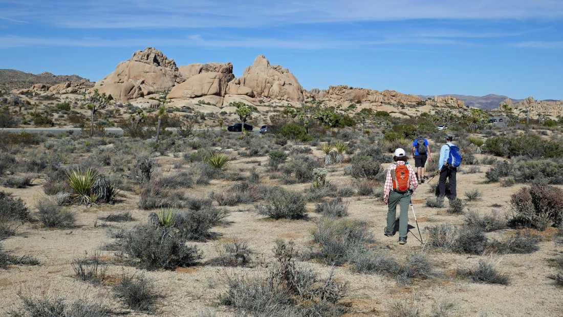
Hiking cross country toward Crown Prince Lookout out there on the right.
|
After hiking .6 miles we have found the abandoned road that will take us over to the base of the lookout.
|

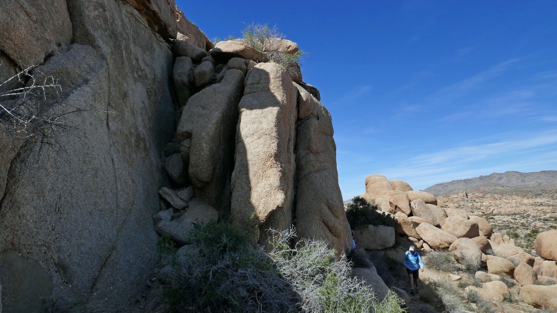
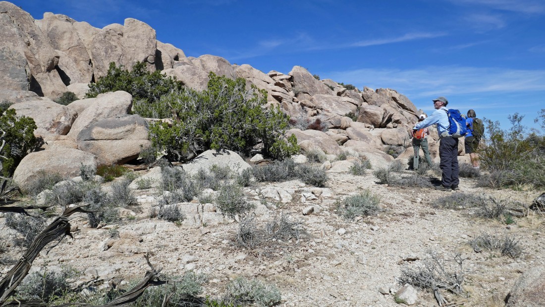
Hiking along the NE side of the lookout looking for a place to scramble up to the lookout.
|
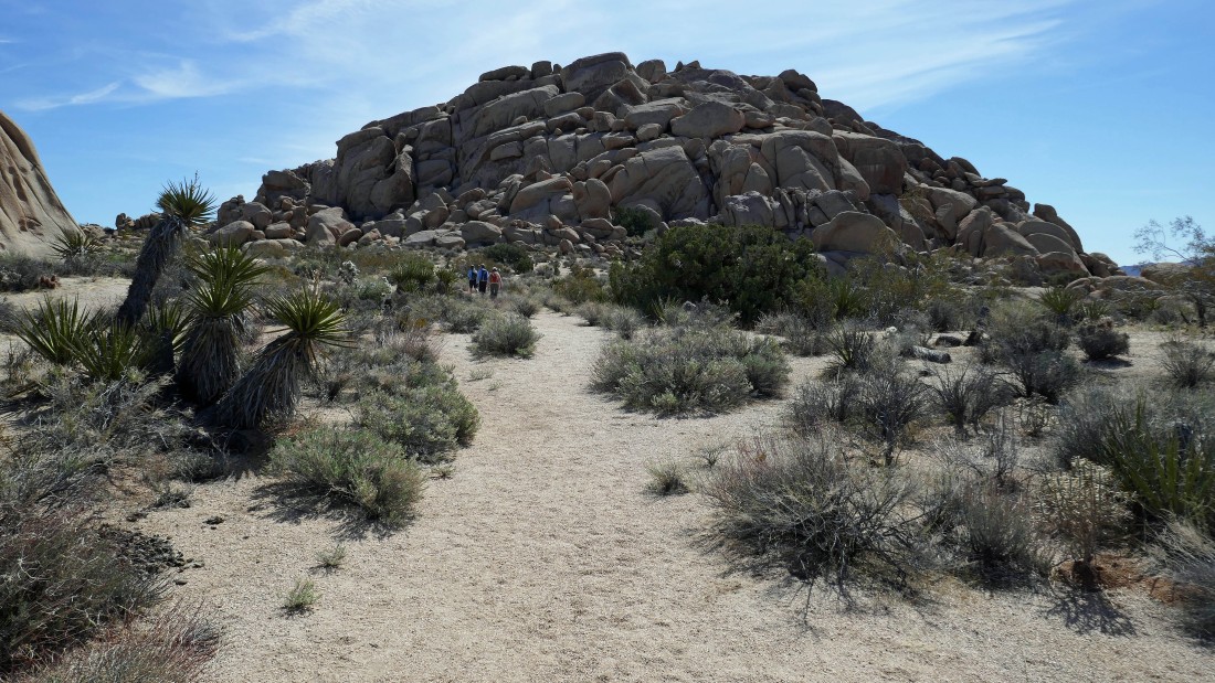
After hiking 1.1 miles we have found the place where there used to be a wooden staircase up this 30 foot section of rock.
|
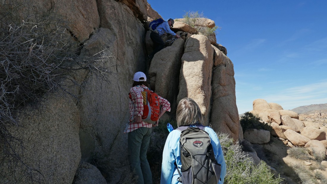
tomman leads us up the 30 foot scramble section.
|
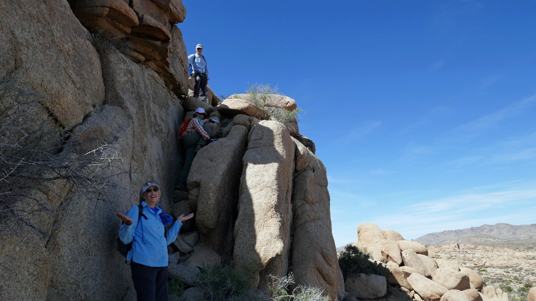
tomman has finished the scramble section... Denali Girl asks 'what is the big deal'.
|
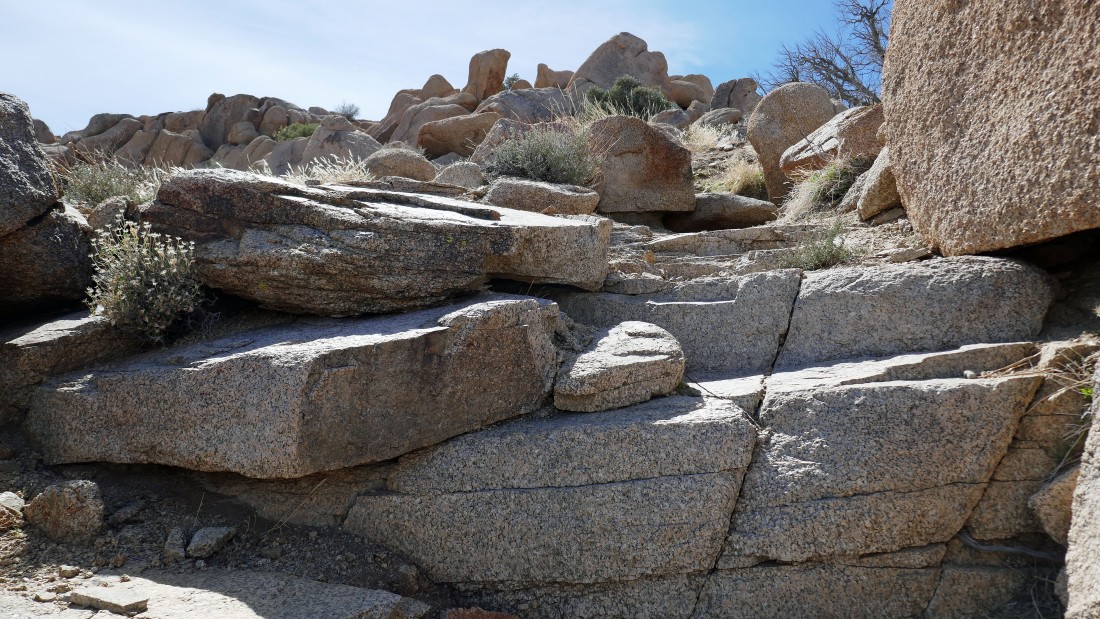
Some nice steps are just above the short scramble section.
|
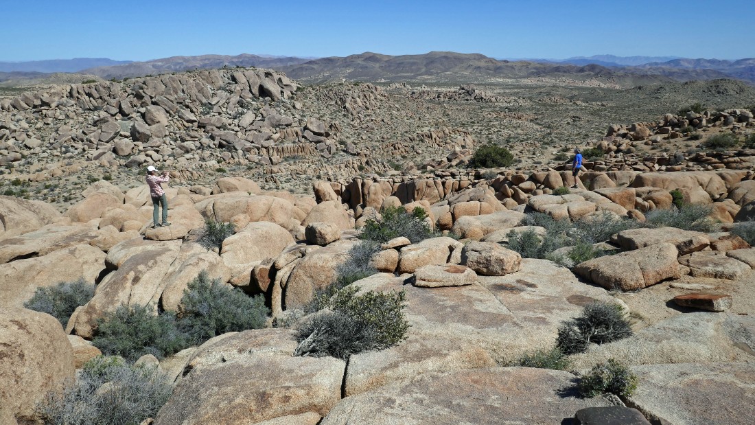
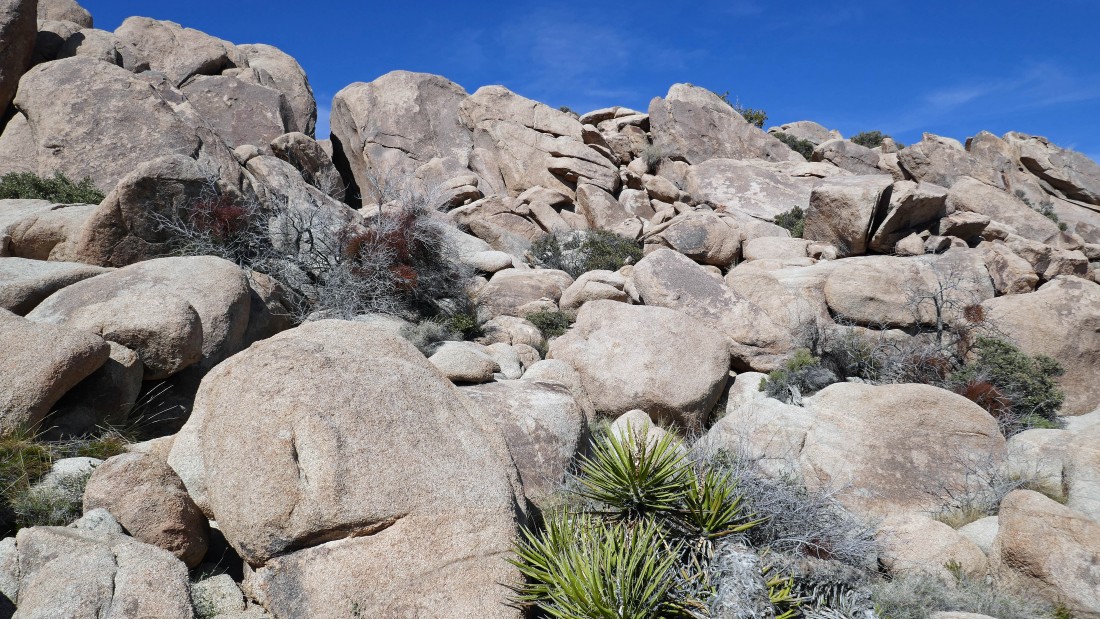
There are some amazing rock formations on the flattish summit area... we will head over toward the high point.
|
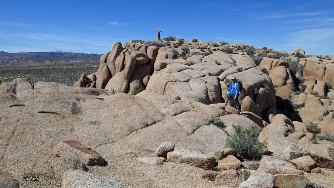
BarbE is on the summit... and Denali Girl heads over there on easy terrain.
|
Not everyone in our group is very smart... oh wait, that's me on the toad stool... a place I didn't stay very long.
|
Let's head over and join BarbE on the summit.
|
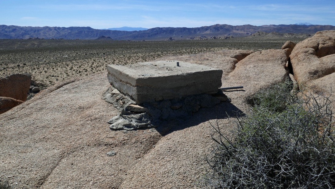
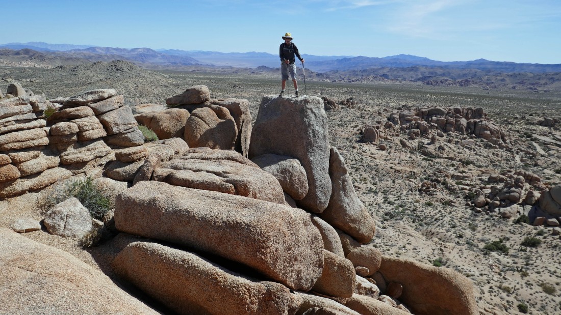
After hiking 1.2 miles we have reached the summit (4581') of Crown Prince Lookout... here there is evidence that there was a lookout on the summit area... built in 1943 as part of an aircraft warning system.
|
This pano shot and the next 3 pano shots show why this was an excellent lookout location that did not require a lot of elevation gain to get the very broad and awesome views... this view is north to Queen Mountain on the left to the Pinto Mountains (east) on the right.
|
This pano is SE to the Pinto Mountains on the left... and south to the Hexie Mountains on the right.
|
|
This pano has views south to the Hexie Mountains on the left... and SW to Lost Horse Mountain on the right.
|
This pano has views SW to Lost Horse Mountain on the left... west to Ryan Mountain in the center... and NW to a shoulder of Queen Mountain creeping into the photo on the far right.
|
Watching BarbE and Denali Girl scramble around the summit area (4581') of Crown Prince Lookout.
|
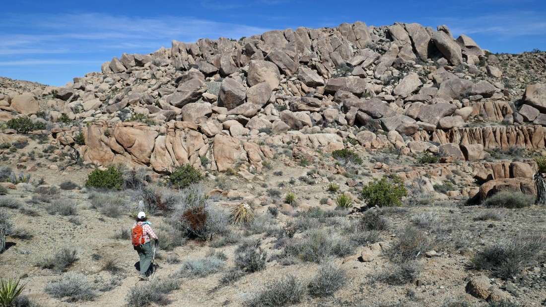
We have left the Crown Prince Lookout and are heading over to Point 4558... we will go up via the easier terrain over there on the far right of the photo... then see if we can do some scrambling up to the top.
|
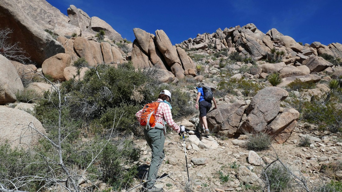
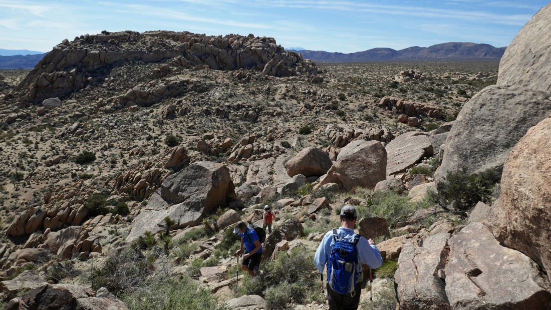
Heading up to the south side of Point 4558 on easy terrain.
|
After hiking a total of 1.5 miles we have reached a shelf on the south side of Point 4558... now we will have to do some scrambling to reach the summit.
|
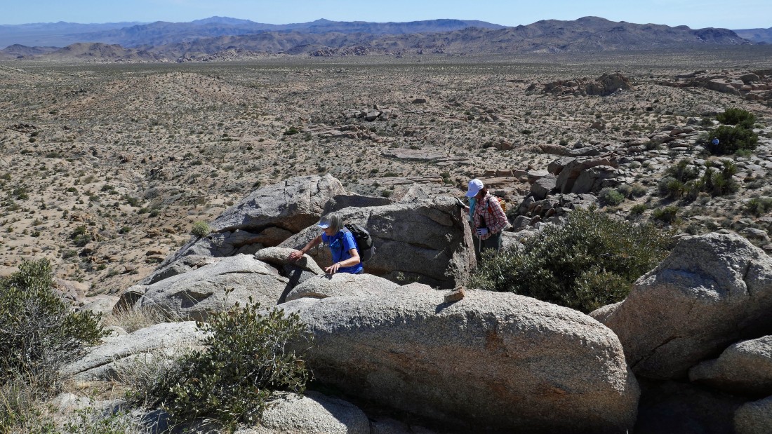
We will go up to that cooridor on the left to see if that will get us to the top.
|
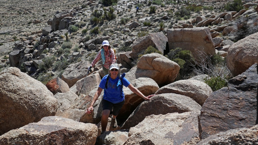
The cooridor in the previous photo was not a comfortable route... so we went several yards to the right of the cooridor and found easier terrain.
|
Denali Girl and BarbE have reached the summit of Point 4558.
|
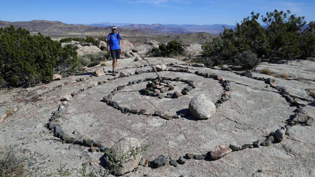
After hiking a total of 1.6 miles Denali Girl is standing on the summit of Point 4558... and no, we did not construct the labyrinth in the photo.
|
|
Looking north to Queen Mountain from the summit of Point 4558.
|
Looking south toward Pinto Basin from the summit of Point 4558.
|
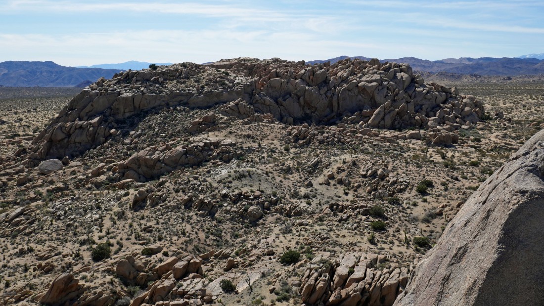
Looking SW from the summit of Point 4558 over to the Crown Prince Lookout.
|

Denali Girl and BarbE did add two small rocks to the summit cairn on Point 4558.
|

Scrambling down from the top of Point 4558.
|
Heading down to the desert floor from the shelf on the south side of Point 4558... with Crown Prince Lookout in the left foreground.
|
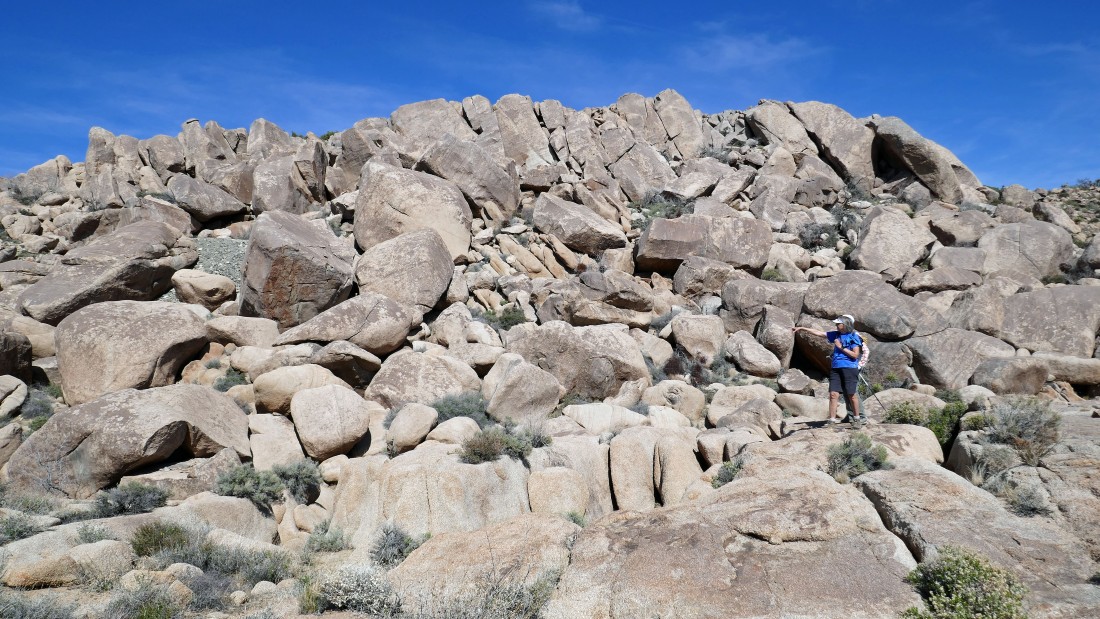
Hiking back in the direction of the car on the SW side of Point 4558 Denali Girl is pointing toward an obvious pile of light gray tailings about halfway up the boulders on the left... that is where the Crown Prince Mine is located.
|
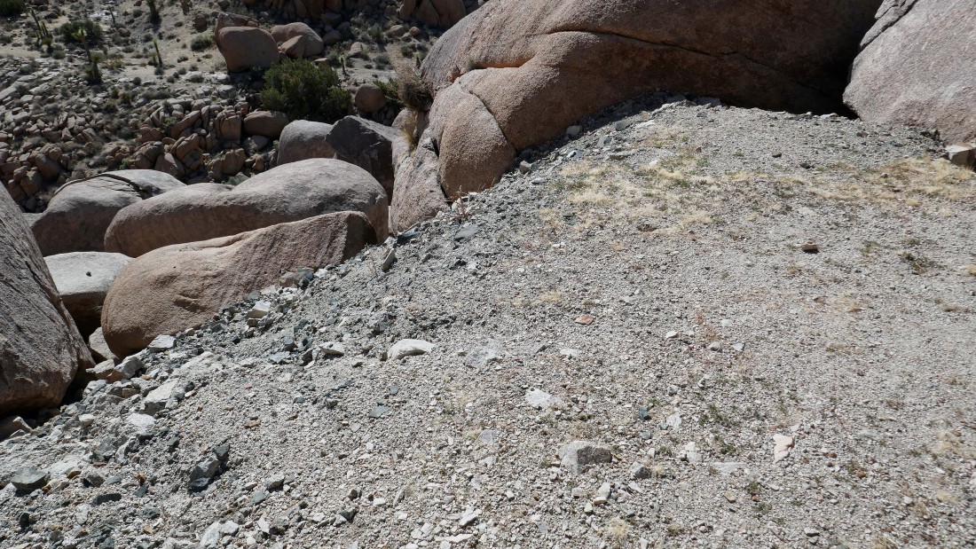
I scrambled up to the pile of tailings... I explored the area for a very short time, but could not find a mine shaft... perhaps next time I will have more time to explore.
|
Continuing back to the car we found this huge labyrinth on the NW side of Point 4558... tomman and Denali Girl are in the labyrinth... while BarbE is on that huge boulder to the left of the labyrinth.
|
Almost back to our car... the hike was 3.2 miles, gaining 613 feet of elevation.
|
