Tanzbodeli - 3.6.2020
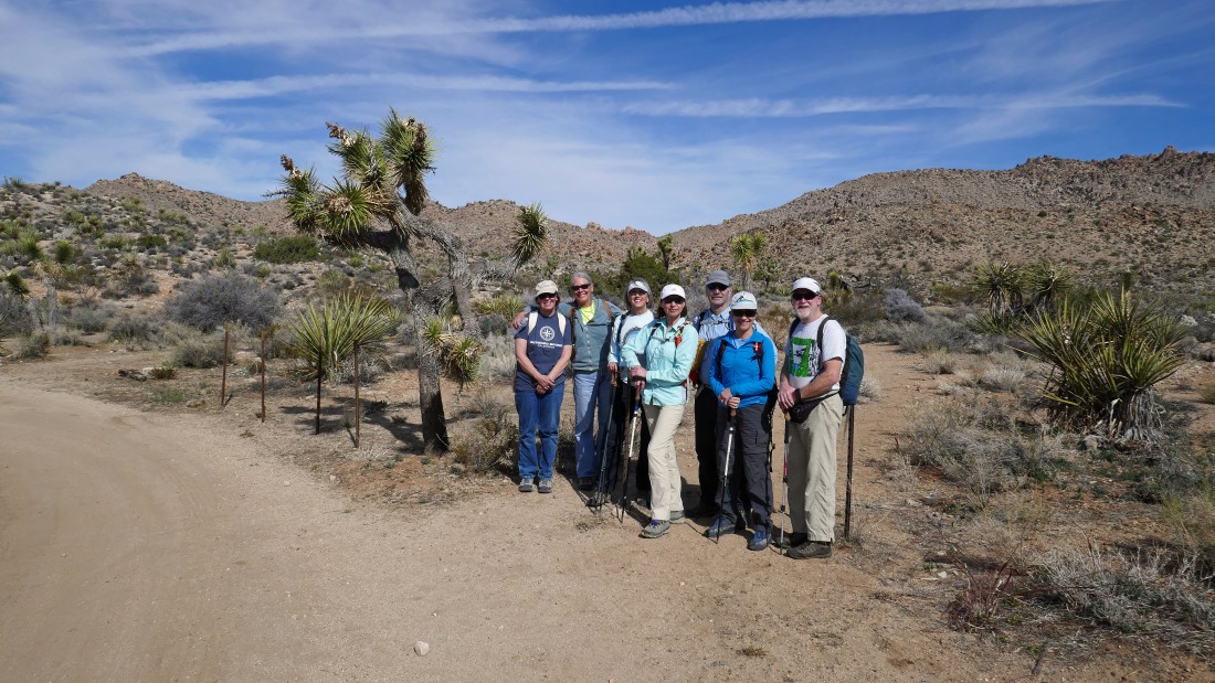
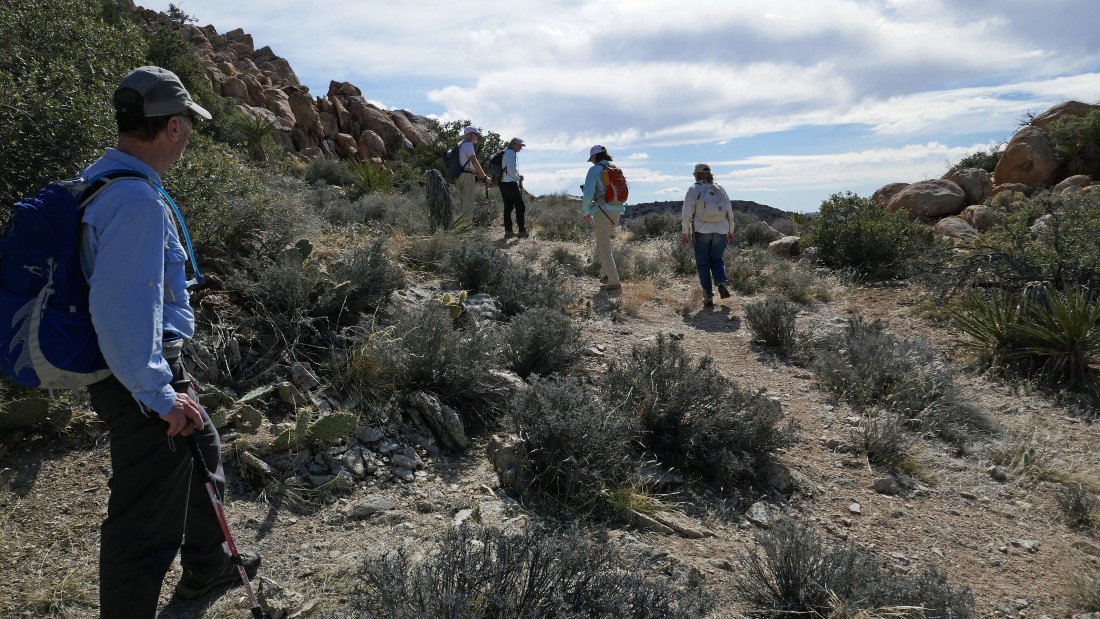
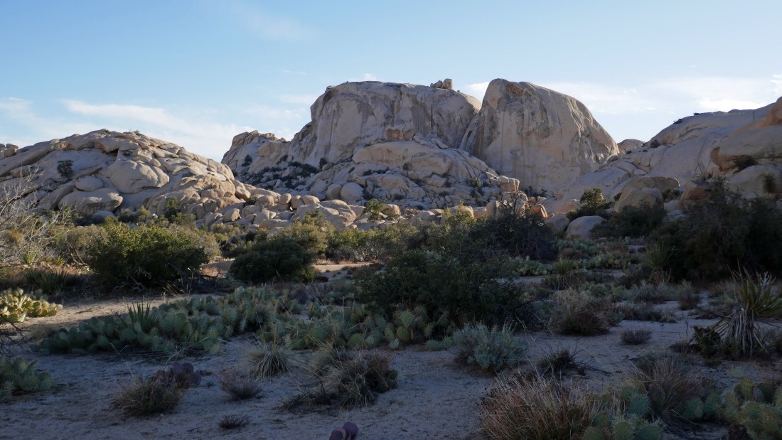
From the west entrance pay station to Joshua Tree National Park... drive Park Blvd for 15.1 miles and turn left onto Big Horn Pass Road... then drive .4 miles to an unsigned fork in the road... stay to the right at the fork and drive 1.4 more miles to the parking lot... we will be heading for the 'V' on the ridge in the photo.
|
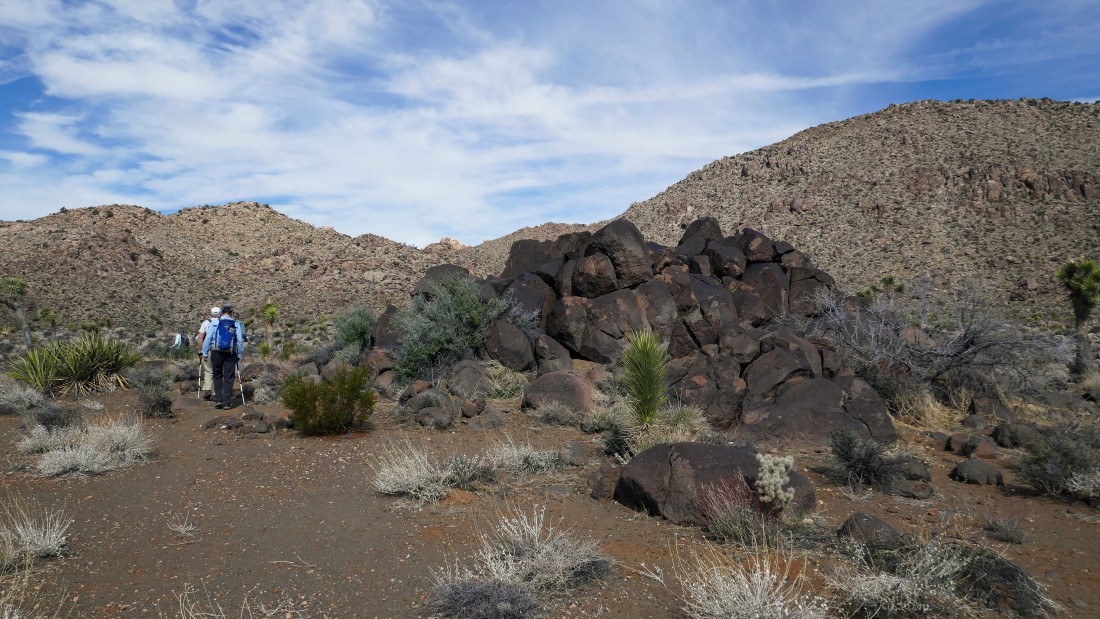
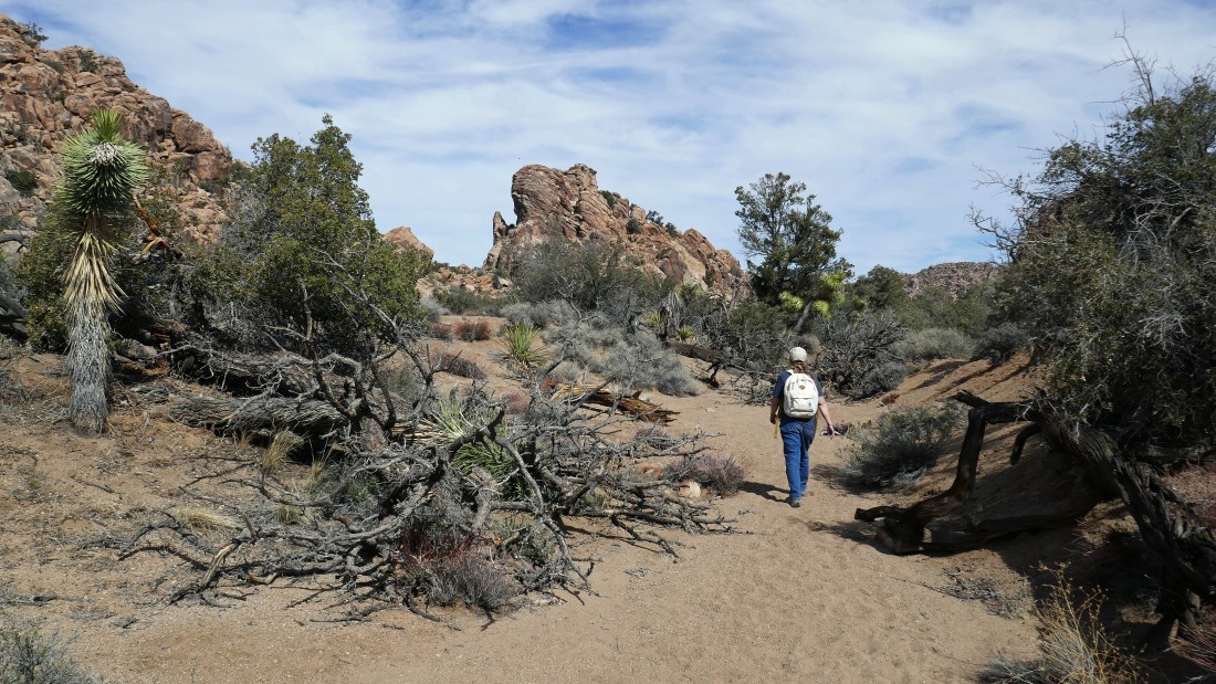
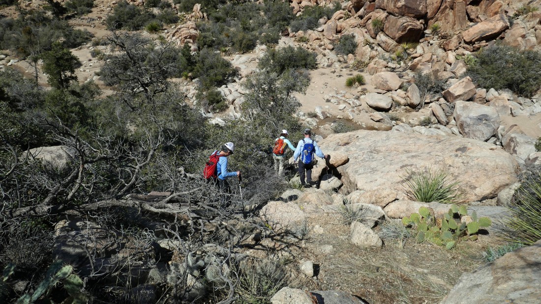
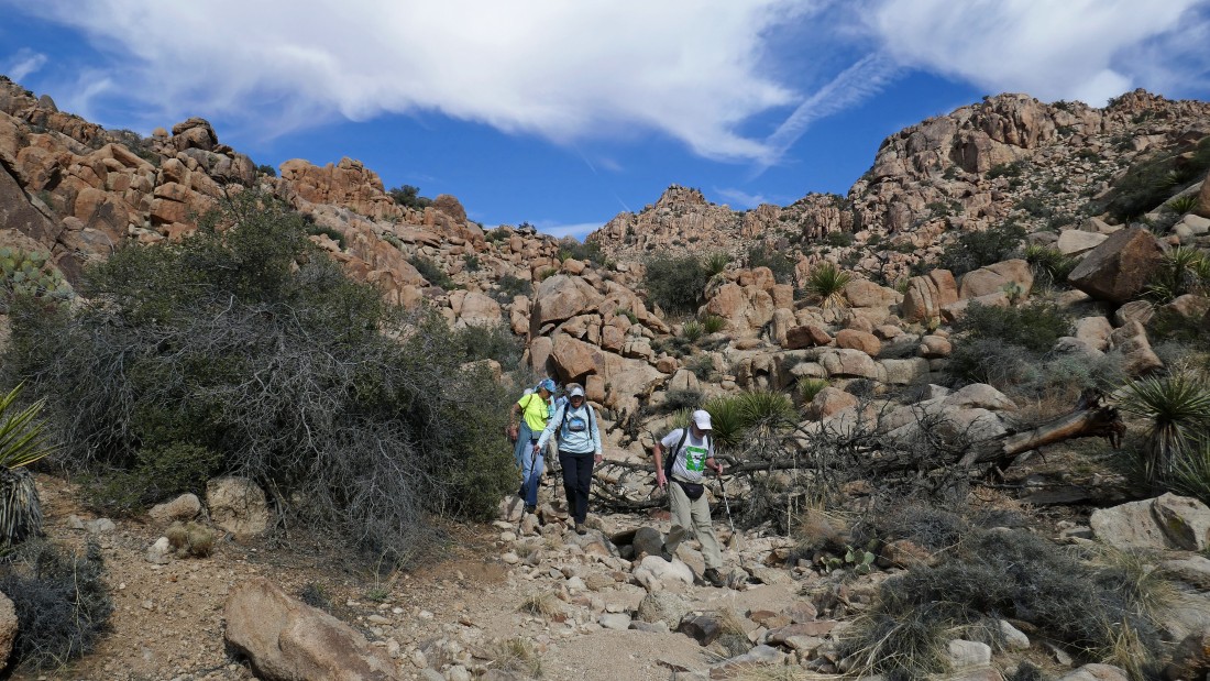
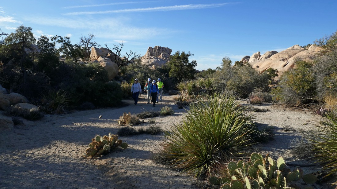
After hiking less than a half-mile we will leave the main boot path at this pile of black boulders and follow an even fainter path that will take us to the low point on the ridge.
|

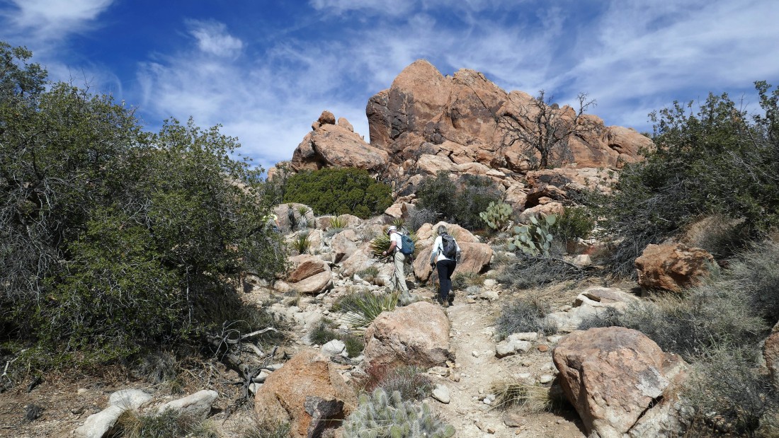
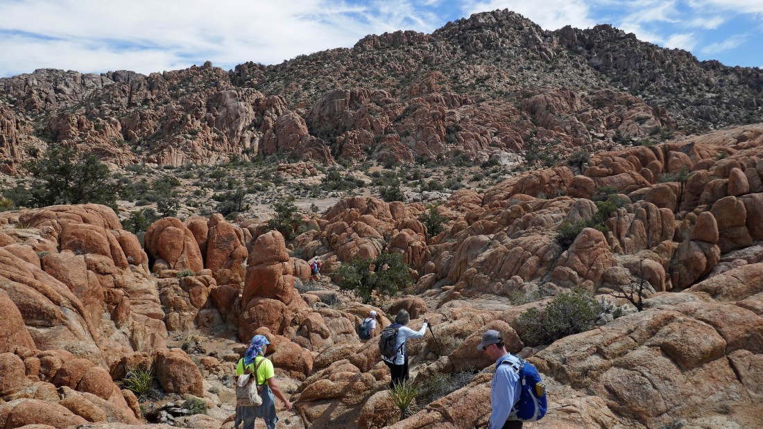
Heading for the low point above on the west shoulder of Queen Mountain.
|
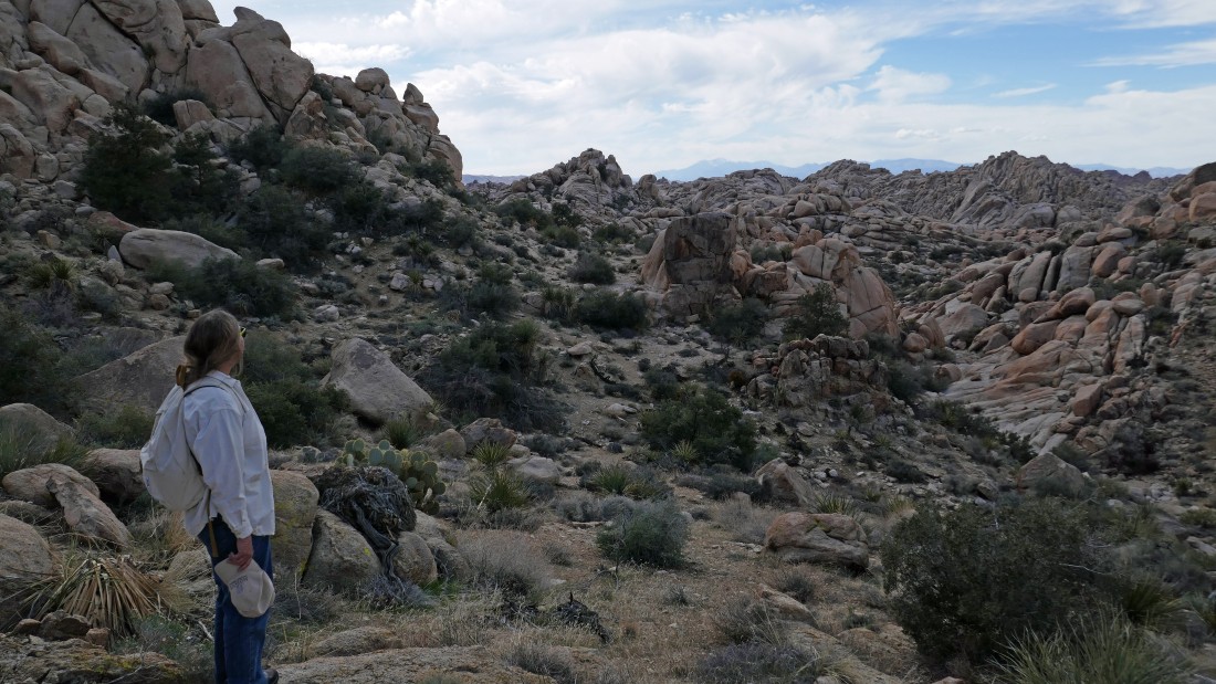
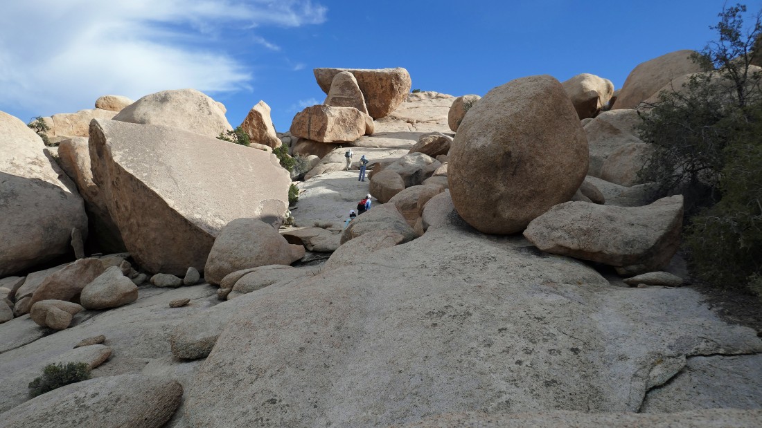
We have reached the first shelf on the west shoulder of Queen Mountain... now we will head for the 'V' in the center of the photo.
|
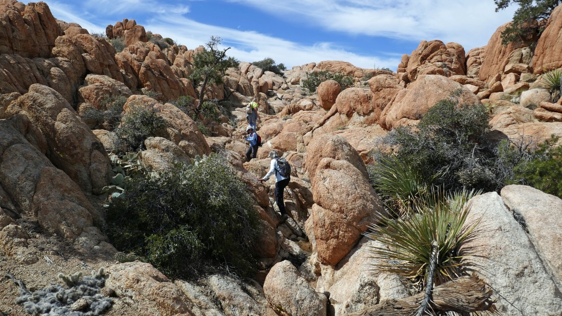
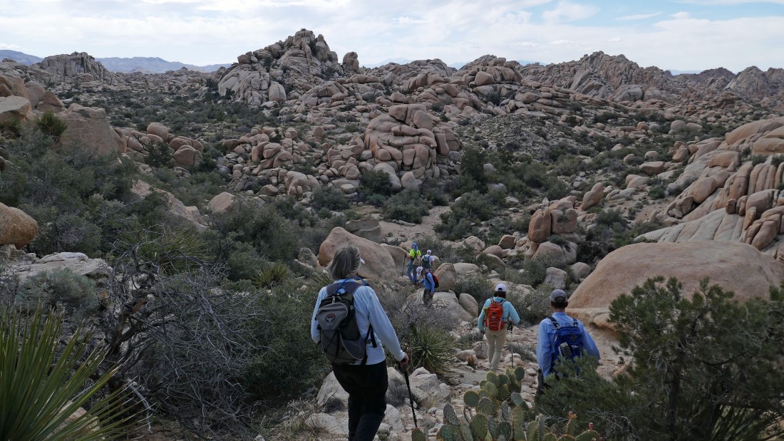
Leaving the first shelf (wash) and heading for the second shelf.
|
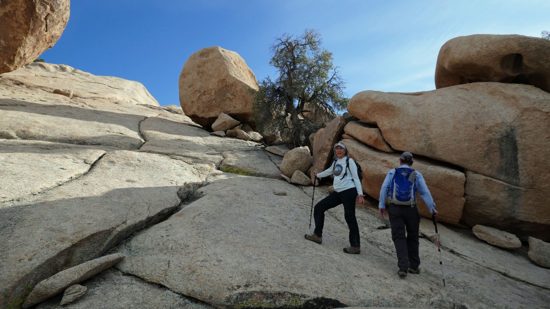
Working our way up to the second shelf.
|
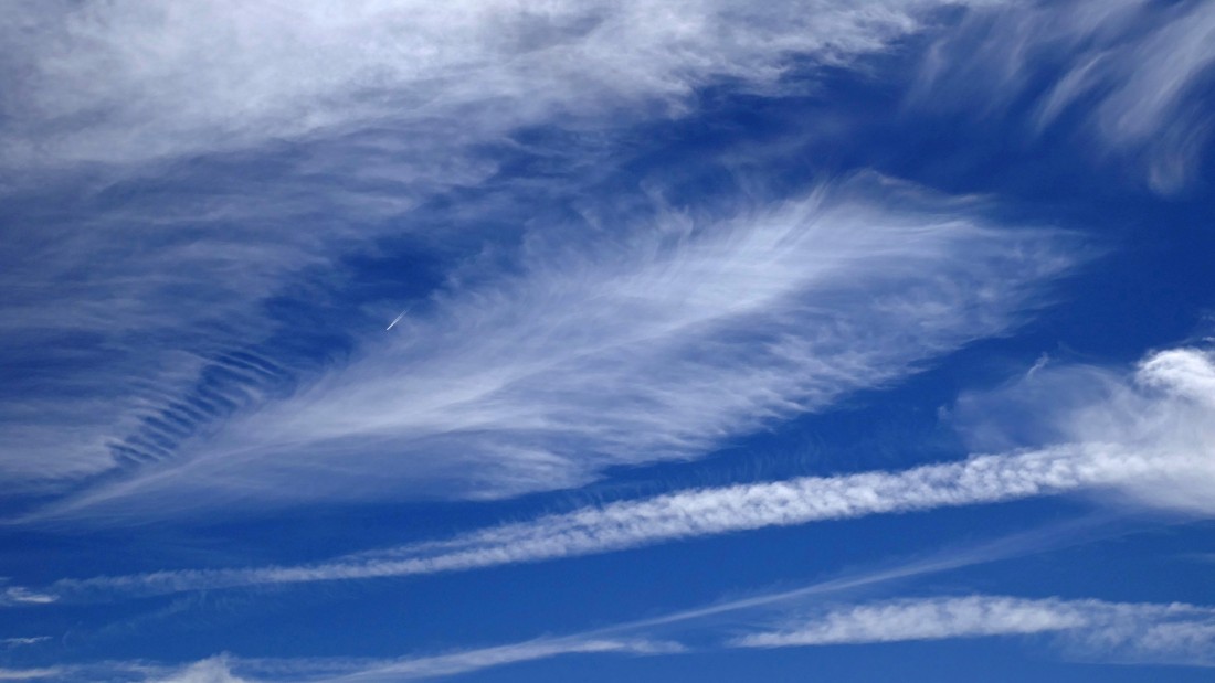
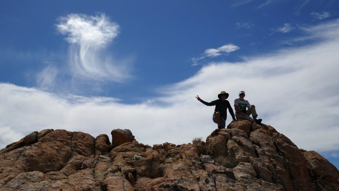
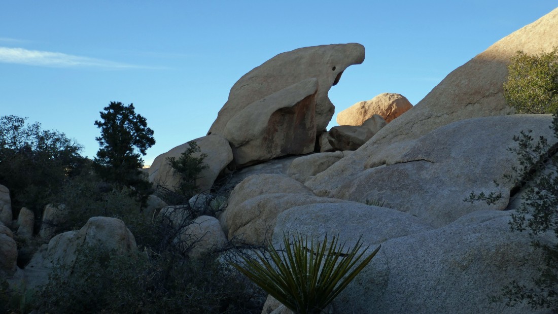
Is that a huge feather in the sky?
|
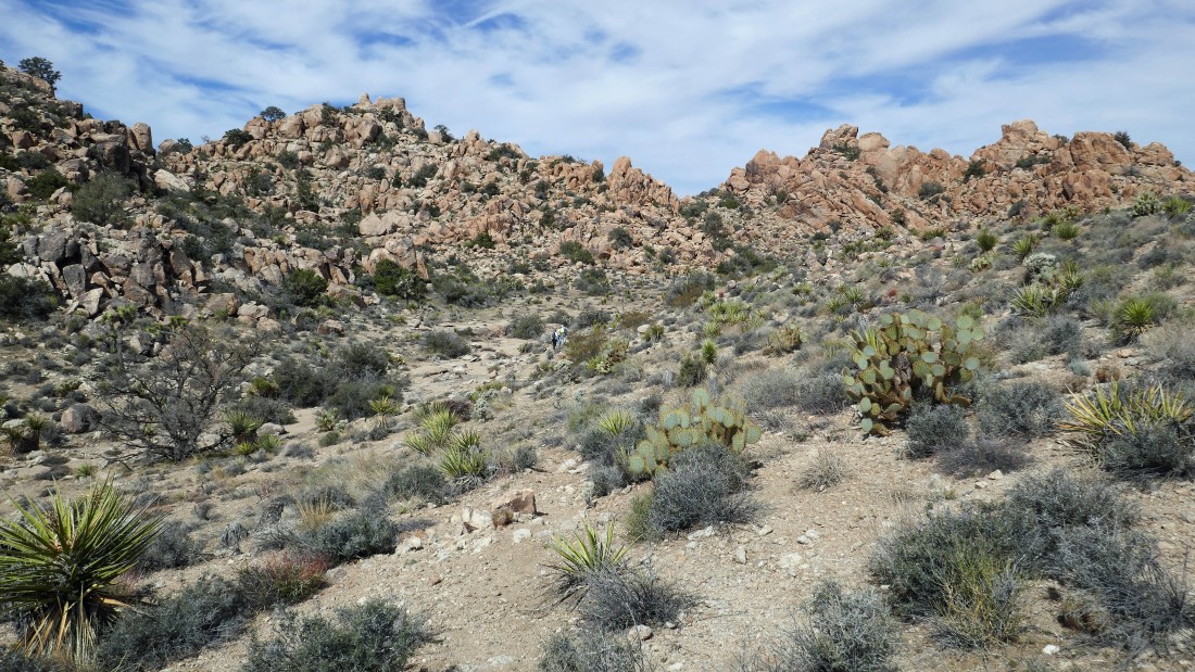
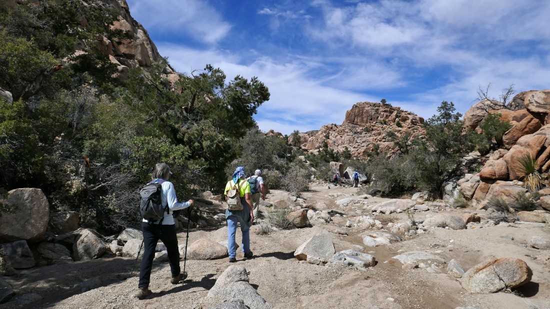
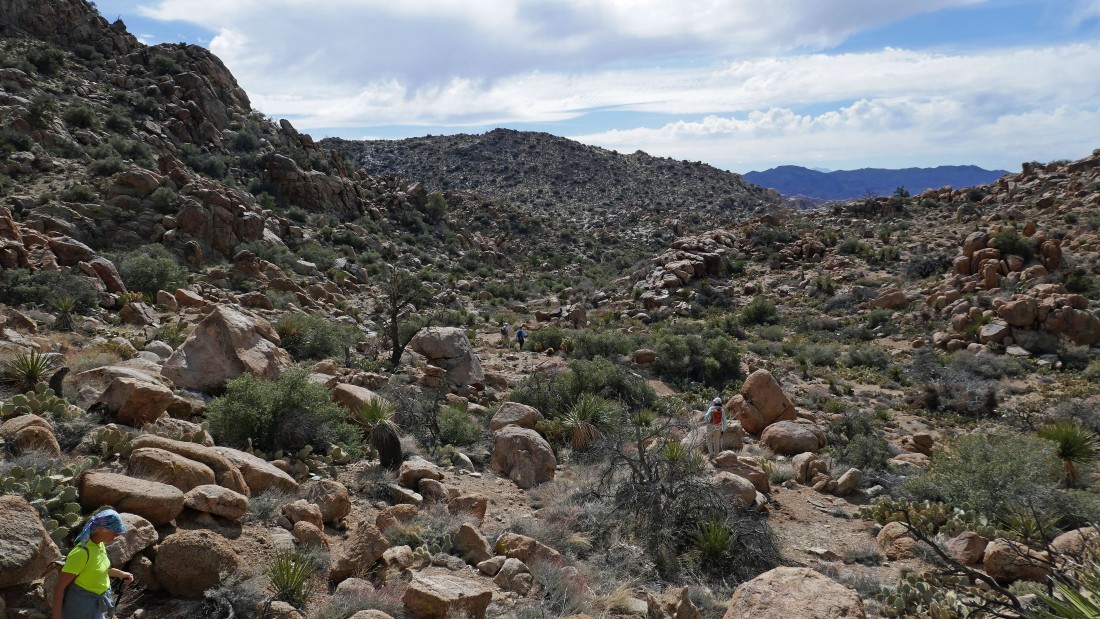
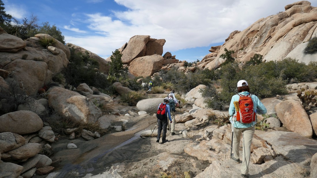
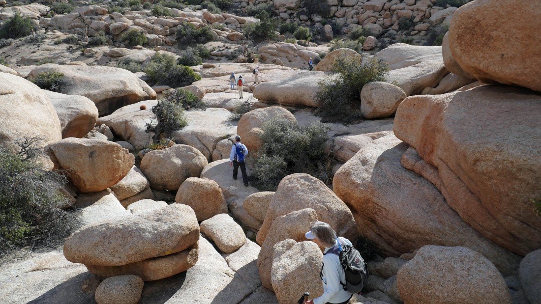
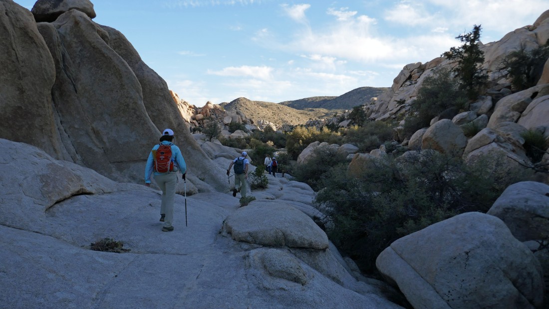
On our second shelf for the day... we will continue in this wash until we are beyond that interesting rock formation out there in the distance.
|
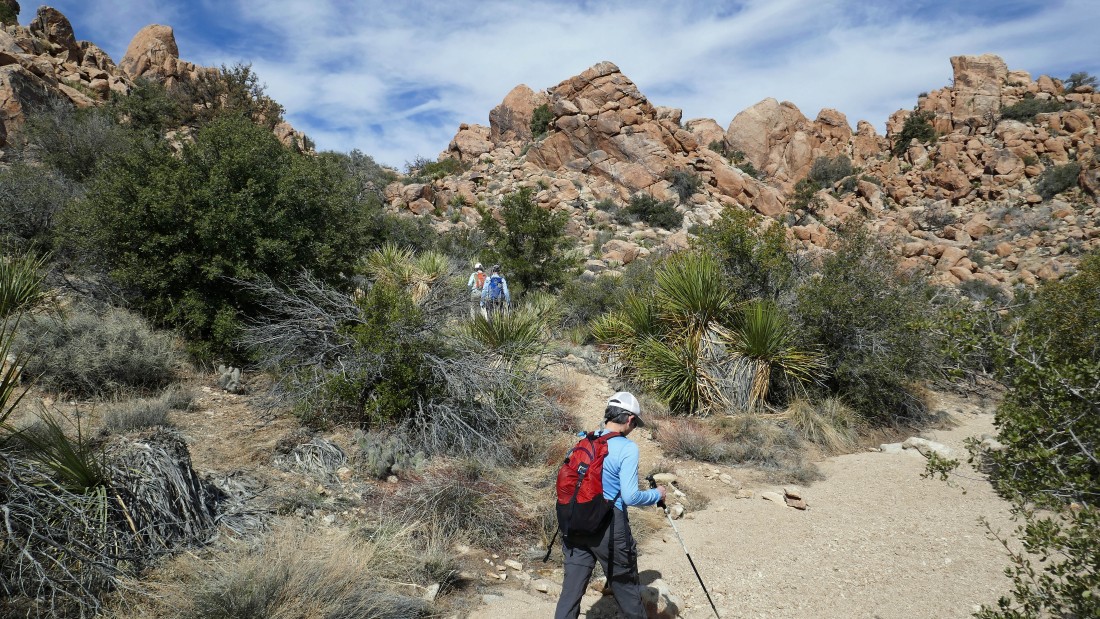
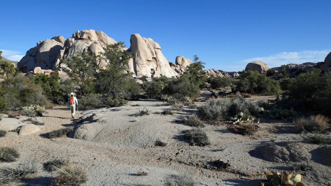
After hiking a total of 2.1 miles we have reached what I call the 'creamsicle' rocks... this is where we will leave the wash and scramble up the 'creamsicle' rocks.
|
Heading up the creamsicle rocks... in search of Tanzbodeli... aka the little dance floor.
|
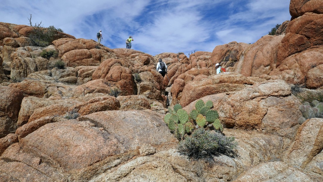
Heading up the creamsicle rocks... in search of Tanzbodeli... aka the little dance floor.
|
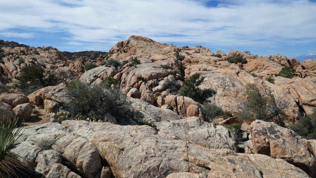
At the top of the creamsicle rocks the terrain levels out some... as we continue toward the little dance floor.
|
On the little dance floor... heading out toward the high point in Tanzbodeli.
|
Heading for the high point in Tanzbodeli.
|
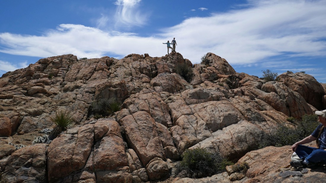
After hiking a total of 2.6 miles, BarbE and rocman are standing on the high point (~4860') in Tanzbodeli.
|
College roommates (ragman and rocman) on the high point in Tanzbodeli.
|
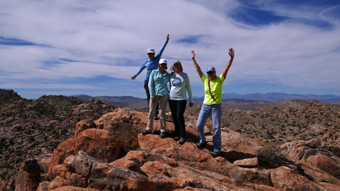
Let the music begin... left-to-right... Cairn Girl, BarbE, Denali Girl and Golden Eagle.
|
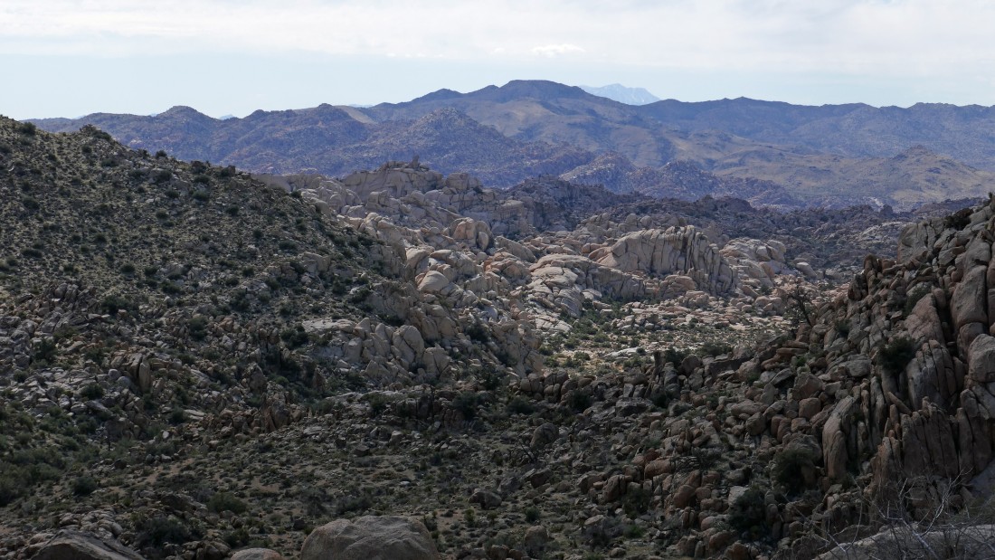
On our high point in Tanzbodeli... looking SW (far left) toward Quail Mountain... to NW across Yucca Valley to a snow covered San Gorgonio Mountain in the center of the photo... to north across part of the Queen Mountain foothills on the right.
|
Looking back to the east... across Tanzbodeli to the higer sections of the massive Queen Mountain.
|
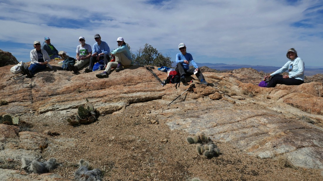
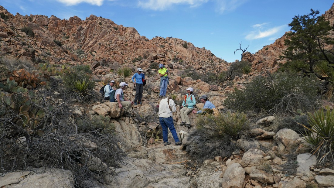
Relaxing on the little dance floor... left-to-right... Star Dancer, Golden Eagle, rocman, tomman, BarbE, Cairn Girl and Denali Girl.
|
Leaving Tanzbodeli.
|
Feels like a road that leads both into and out of Tanzbodeli.
|
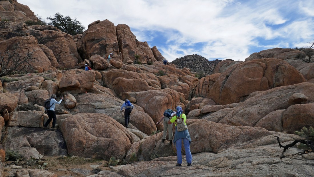
Scrambling back down the creamsicle rocks to get back to the wash.
|
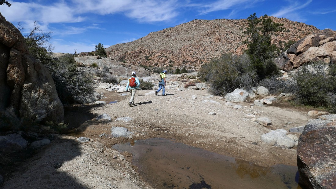
Back in the wash and continuing north in search of the Oak Canyon Falls.
|
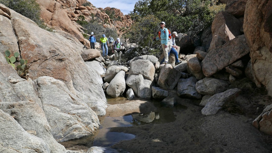
The wash has turned to the west as we head for the Oak Canyon Falls.
|
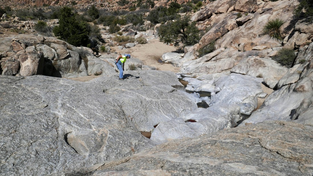
We have reached the top of the falls... however, we will need to leave the wash and gain a little elevation to get beyond the falls... then double back a short distance to get to the bottom of the falls.
|
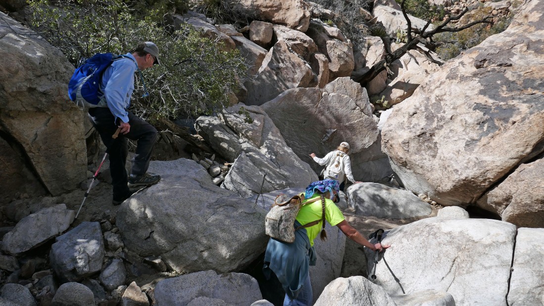
Working our way back down to the wash so that we can gain access to the bottom of the falls.
|
The Oak Canyon Falls are a stone's throw away.
|
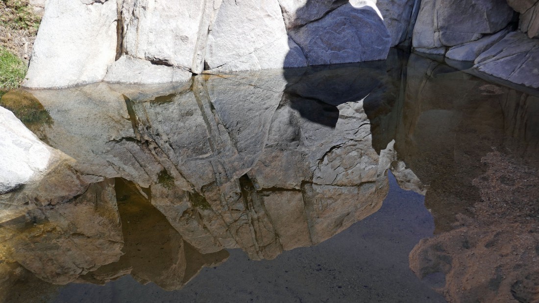
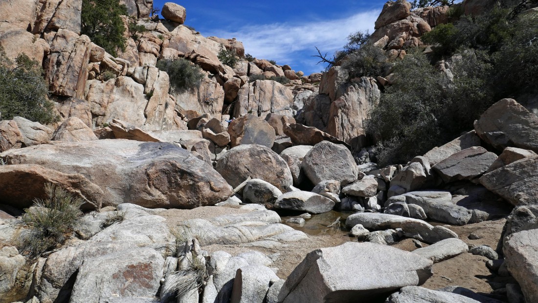
After hiking a total of 3.6 miles we have reached the Oak Canyon Falls... the falls were only a trickle... but there was a lot of water in the pool at the base of the falls.
|
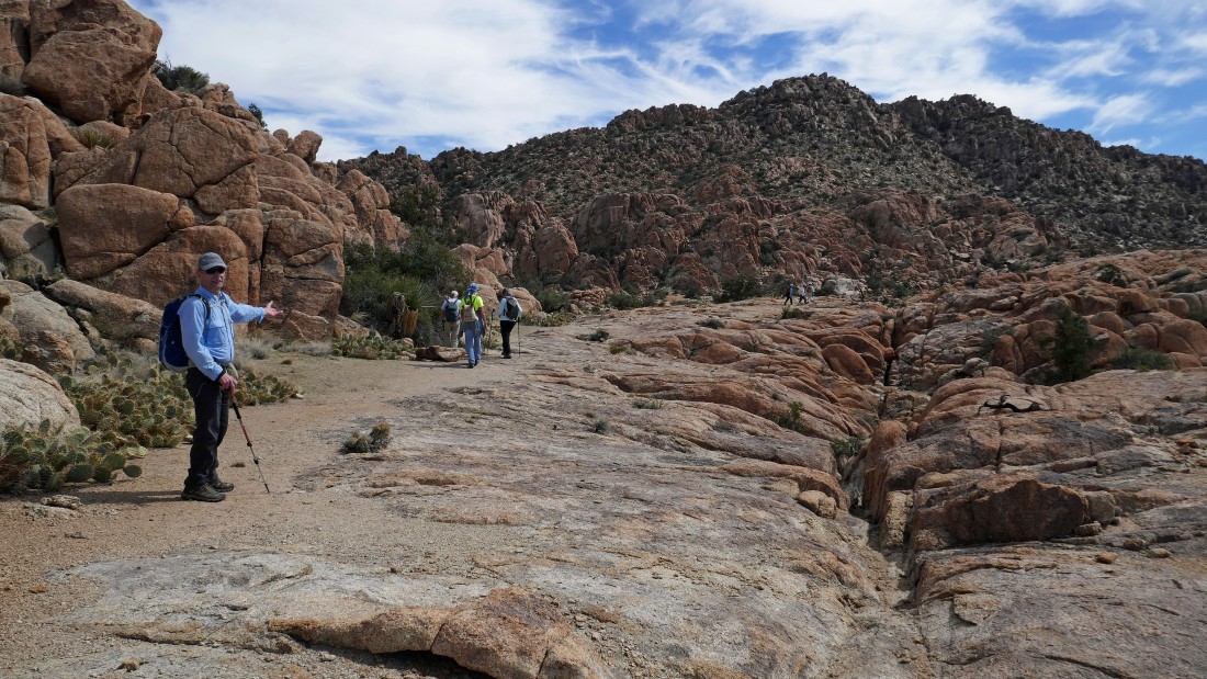
Continuing west down the wash.
|
Taking a short detour to the north in search of the upper potholes in Oak Canyon.
|
Golden Eagle has reached the upper potholes after hiking a total of 4.3 miles... if you have the time, continue another half mile down this canyon to the more impressive middle potholes.
|
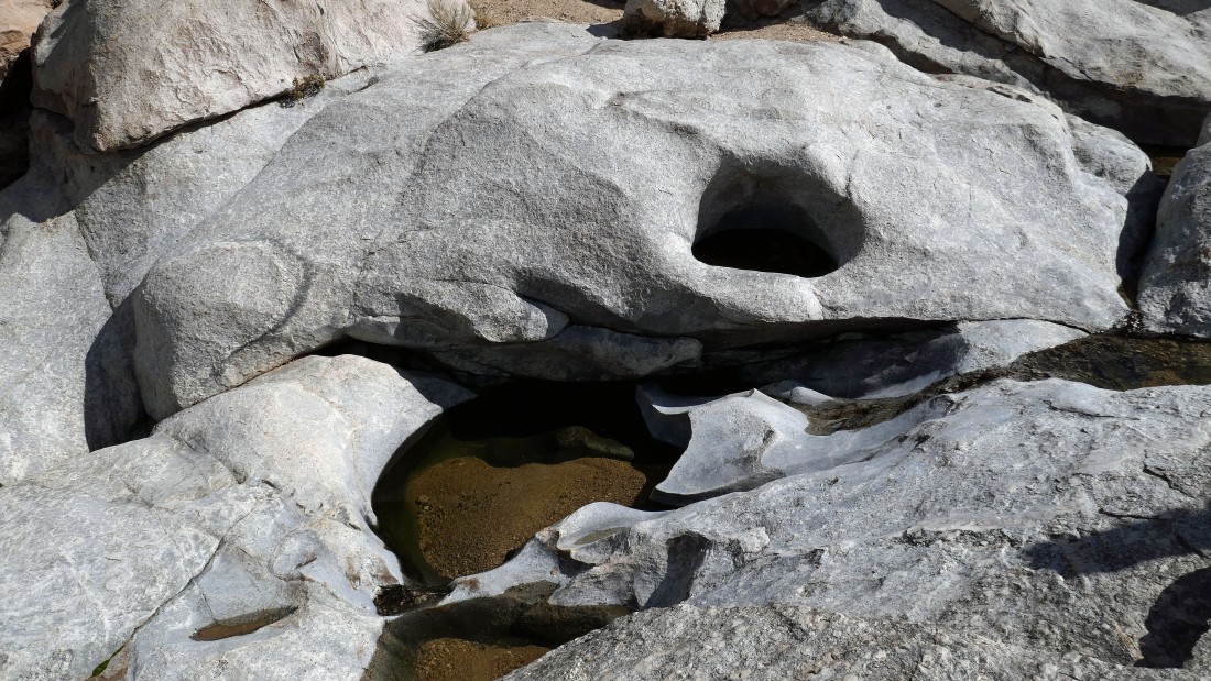
The upper potholes of Oak Canyon.
|
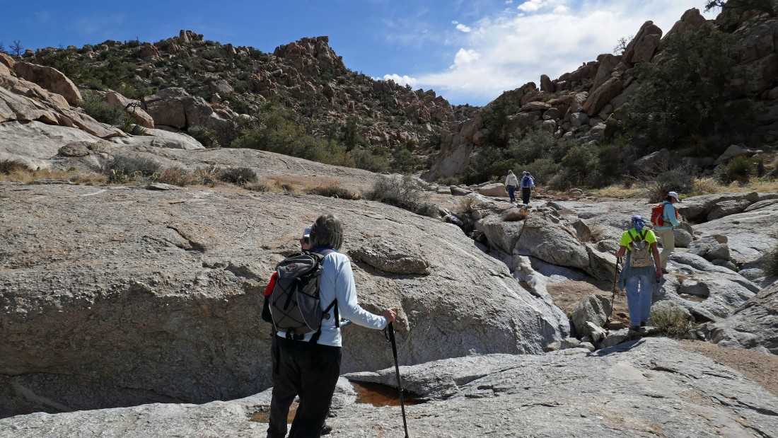
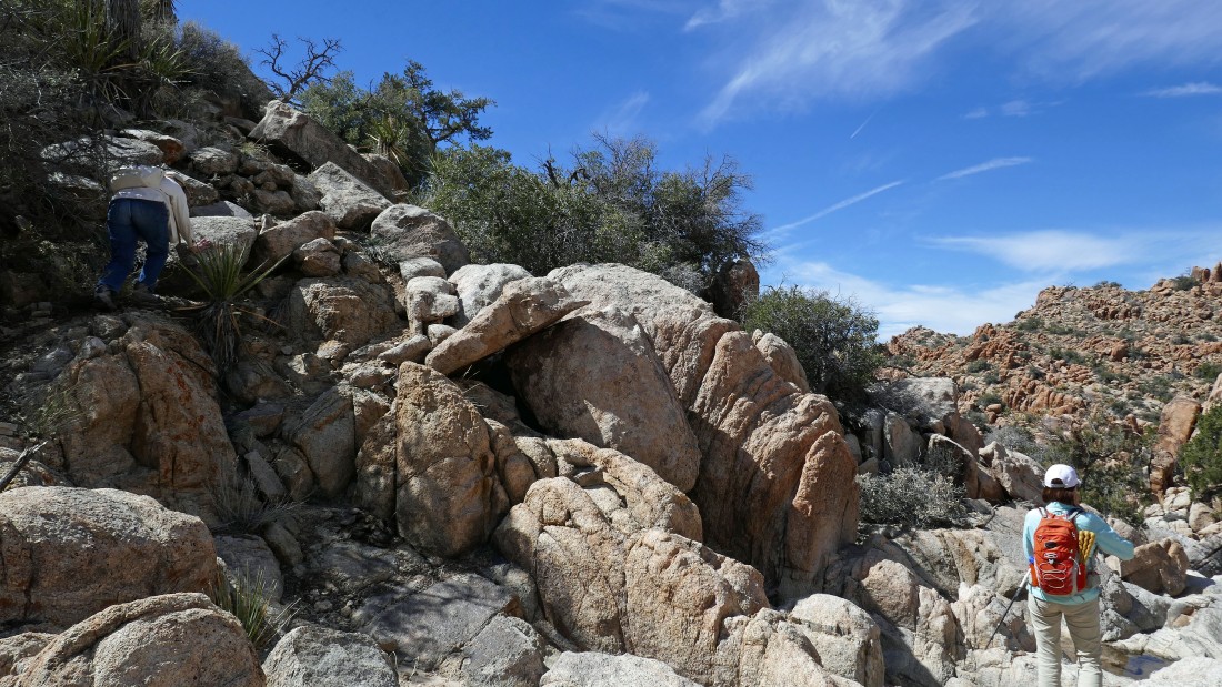
Leaving the upper potholes... backtracking a short distance in search of a comfortable route down off of Queen Mountain and into the Wonderland of Rocks.
|
After hiking a total of 4.5 miles we have found a faint path that will take us off of Queen Mountain and down to the Wonderland of Rocks.
|
The Wonderland of Rocks awaits... with Quail Mountain (the high point in the park) in the center of the photo.
|
Heading down toward the Wonderland of Rocks.
|
Looking back at our route down off of the west shoulder of Queen Mountain... as we continue down toward the Wonderland of Rocks.
|
Continuing down from Queen Mountain.
|
Getting closer to the Wonderland of Rocks.
|
Almost on the floor of the wonderland.
|
After hiking a total of 5 miles we have reached the Wonderland of Rocks and are taking a short side trip over to The Shrine.
|
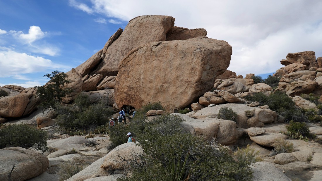
The Shrine is an impressive rock formation.
|
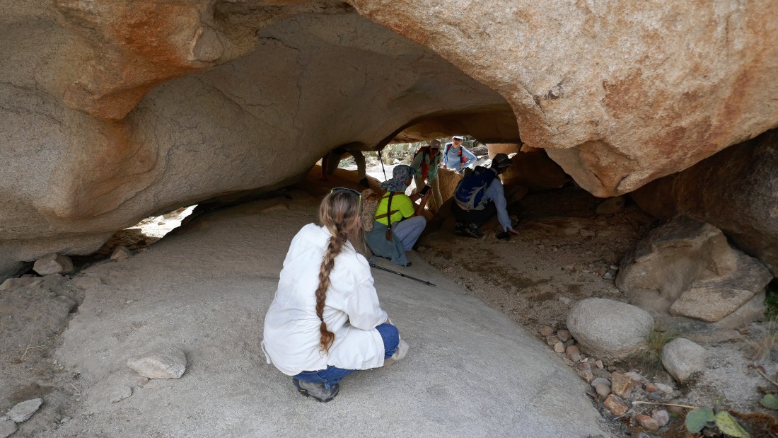
A closer look at underside of The Shrine.
|
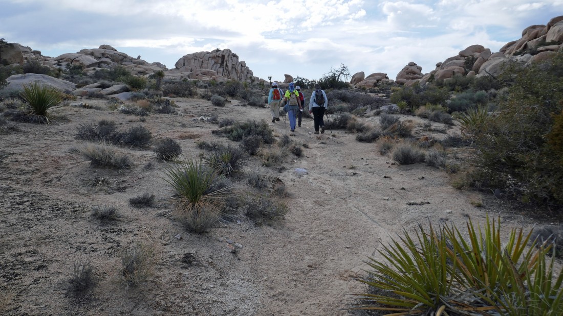
Leaving The Shrine and heading west in search of the Wonderland Wash.
|
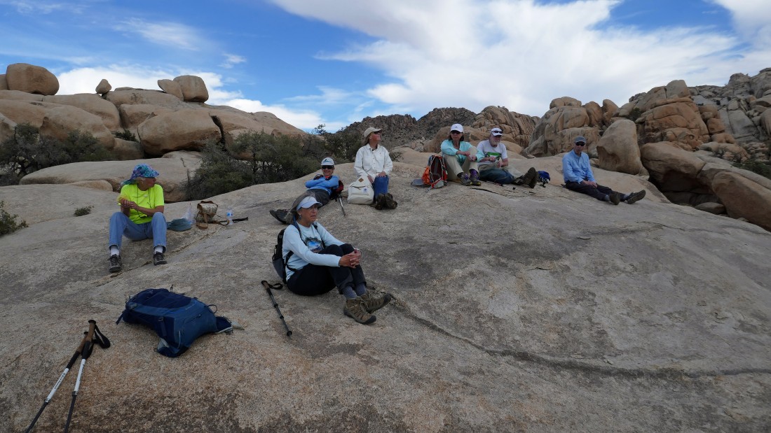
Taking a much deserved break in the wonderland.
|
Let's take a shortcut as we work our way over to the Wonderland Wash.
|
Is this really a shortcut?
|
Heading back down our shortcut route!
|
After hiking a total of 6.7 miles we have reached the Wonderland Wash and are heading south on our way out of the wonderland... the Freak Brothers Dome is in the center of the photo.
|
Passing by the two Astro Domes on our way out of the wonderland... we will scramble up to the top of the one on the left in a couple days... but no, we will not scramble up from this side!
|
Hiking south out of the Wonderland... The Camel is back there in the center of the photo.
|
Hiking beyond the Shark on our way out of the wonderland.
|
Almost out of the Wonderland of Rocks.
|
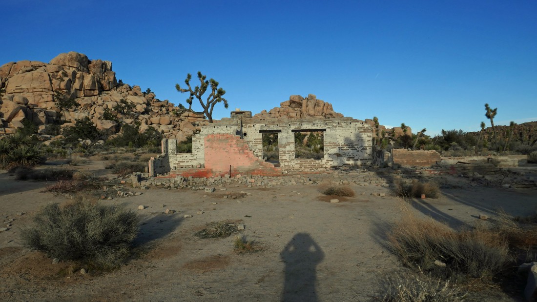
We are out of the wonderland and have reached the Worth Bagley homestead... leaving a short walk back to our second car... our through hike was 8.8 miles, gaining 986 feet of elevation.
|
