Point 2841, Turquoise Mine and Copper Mine - 3.21.2020
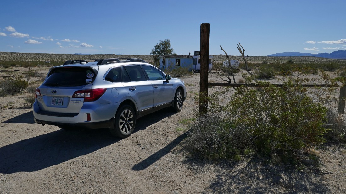
We parked at an abandoned trailer in a neighborhood on the north side of Copper Mountain in Yucca Valley... several miles south of a Marine Corps Air Ground Combat Center.
|
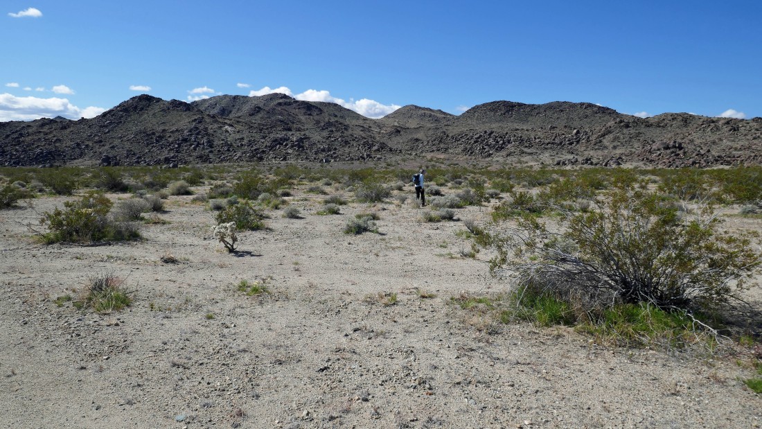
Hiking south toward Copper Mountain... we will scramble up several of the bumps in the distance.
|
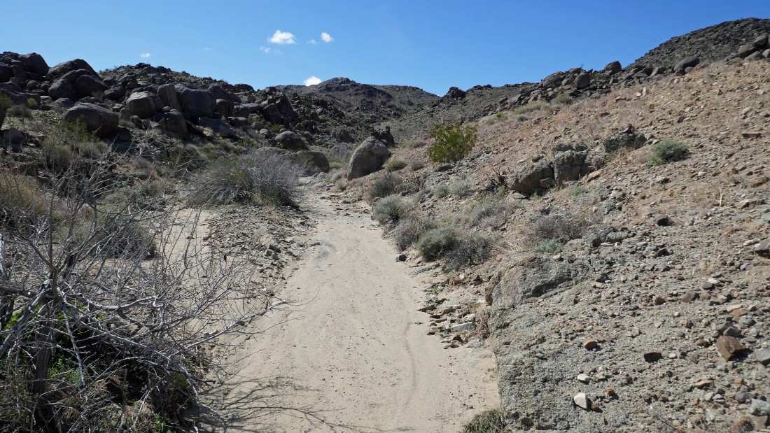
After hiking .4 miles we have reached a wash that we will follow for awhile.
|
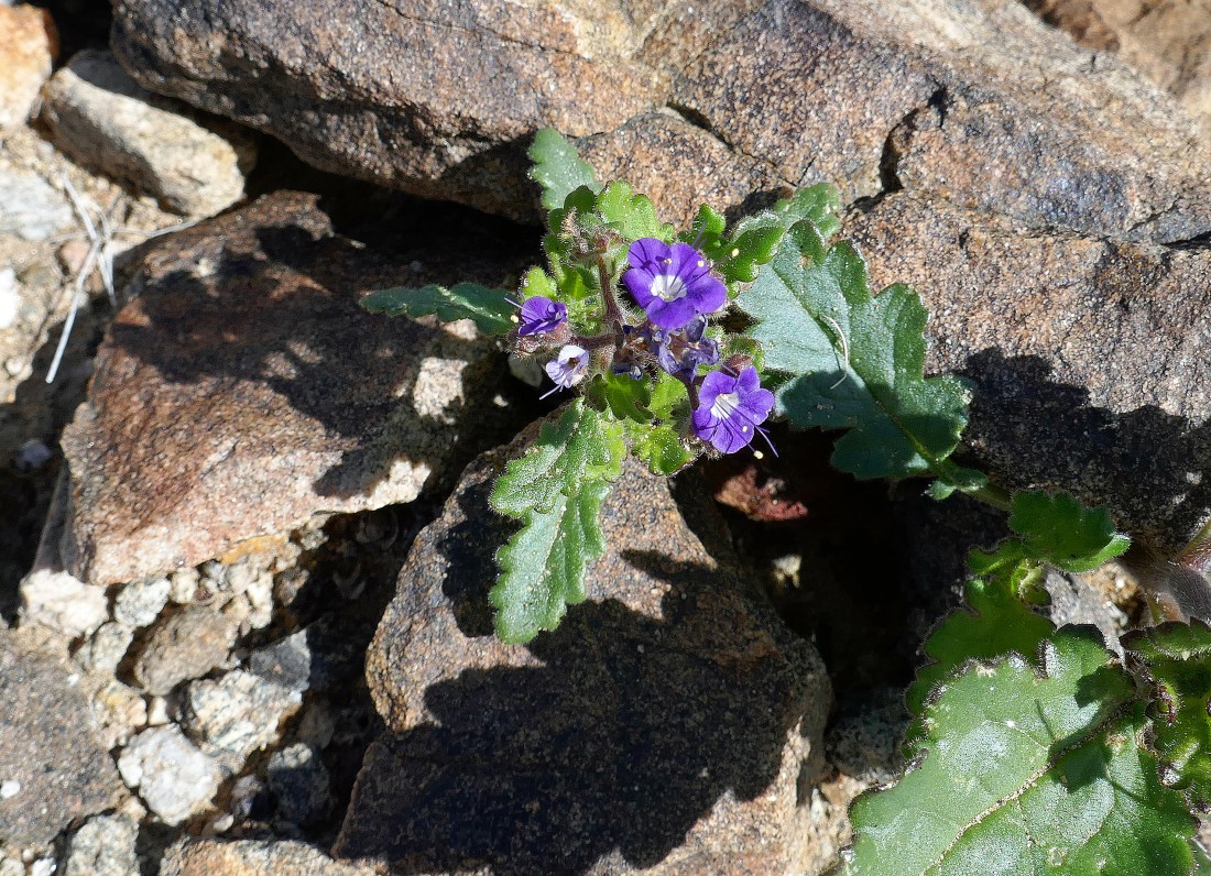
Wild Heliotrope.
|
Out of the wash and on an old mining road... looking back to the north.
|
|
Continuing up the old mining road... looking back to the north... across the huge Marine Corps Air Ground Combat Center to the Cady Mountains and Bullion Mountains.
|
After hiking 1 mile we are nearing the top of Point 2700+... here looking south at Point 2800+ on the right and east to Point 2841 on the left... which we will visit after leaving this one.
|
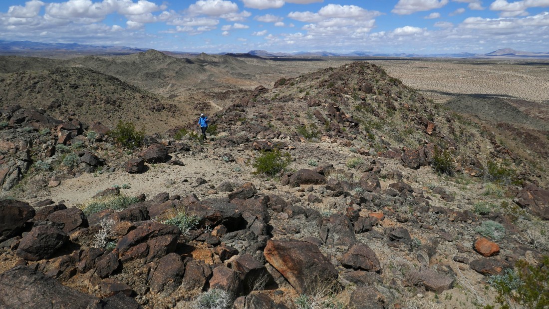
After hiking 1.3 miles we have reached the top of Point 2800+ and are looking over at Point 2841.
|
From Point 2800+ we are looking south to the northern border of the Wonderland of Rocks in Joshua Tree National Park.
|
This photo and the next 3 photos comprise a 360 degree view from Point 2800+... here looking NE (left) to SE at Point 2841.
|
|
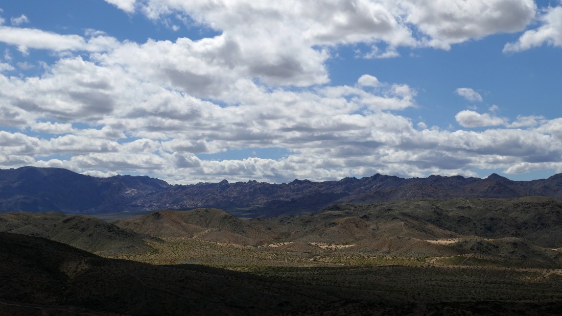
Looking south to Queen Mountain and the Wonderland of Rocks on the horizon.
|
Looking SW to the west.
|
Looking north across the Marine Corps Air Ground Combat Center to the Cady Mountains and Bullion Mountains.
|
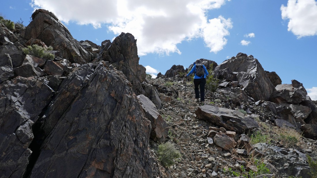
We have left Point 2800+ and nearing the top of Point 2841.
|
Denali Girl is working her way over to join me on Point 2841.
|
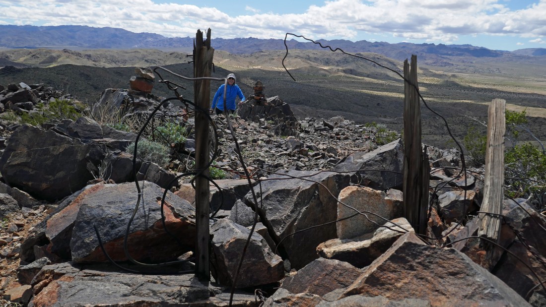
On the summit of Point 2841 after hiking a total of 1.8 miles... with the Wonderland of Rocks on the horizon behind Denali Girl.
|
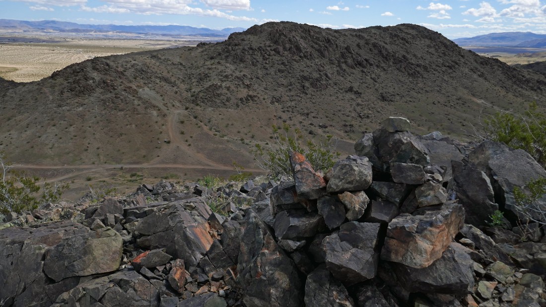
The summit cairn on Point 2841... with Queen Mountain and the northern border of the Wonderland of Rocks on the horizon.
|
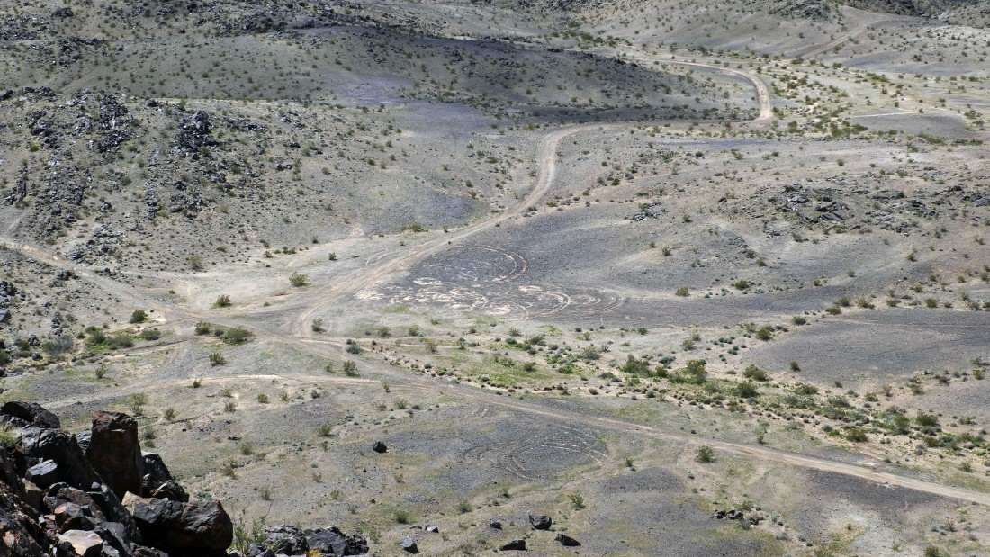
From Point 2841 we are looking down on what looks like some kind of circular alien formations... or is it just off-road-vehicle carvings?
|
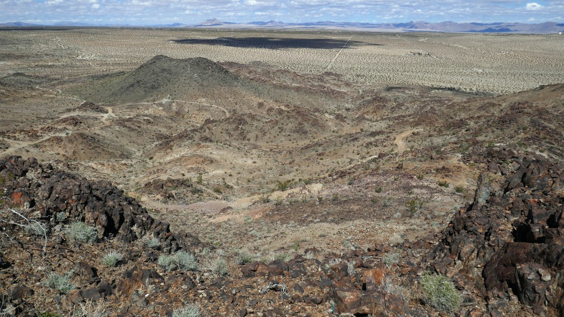
Leaving the summit of Point 2841 and heading down to check out a couple mines.
|

After hiking a total of 2 miles Star Dancer and Denali Girl enjoy the turquoise mining area.
|
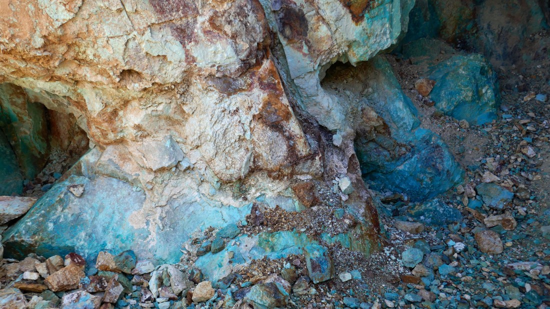
Turquoise!
|
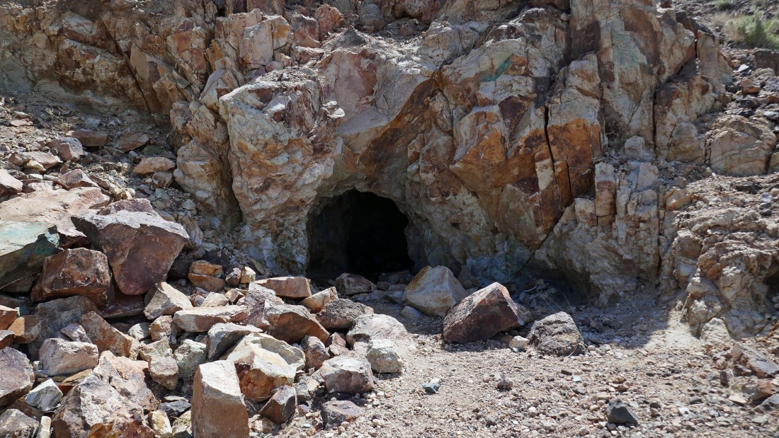
A very short distance below the turquoise mine is the entrance to a copper mine.
|
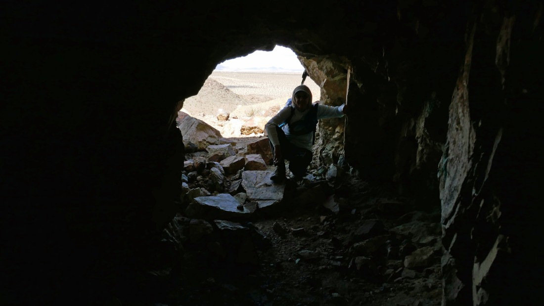
Denali Girl watches me head into the copper mine.
|
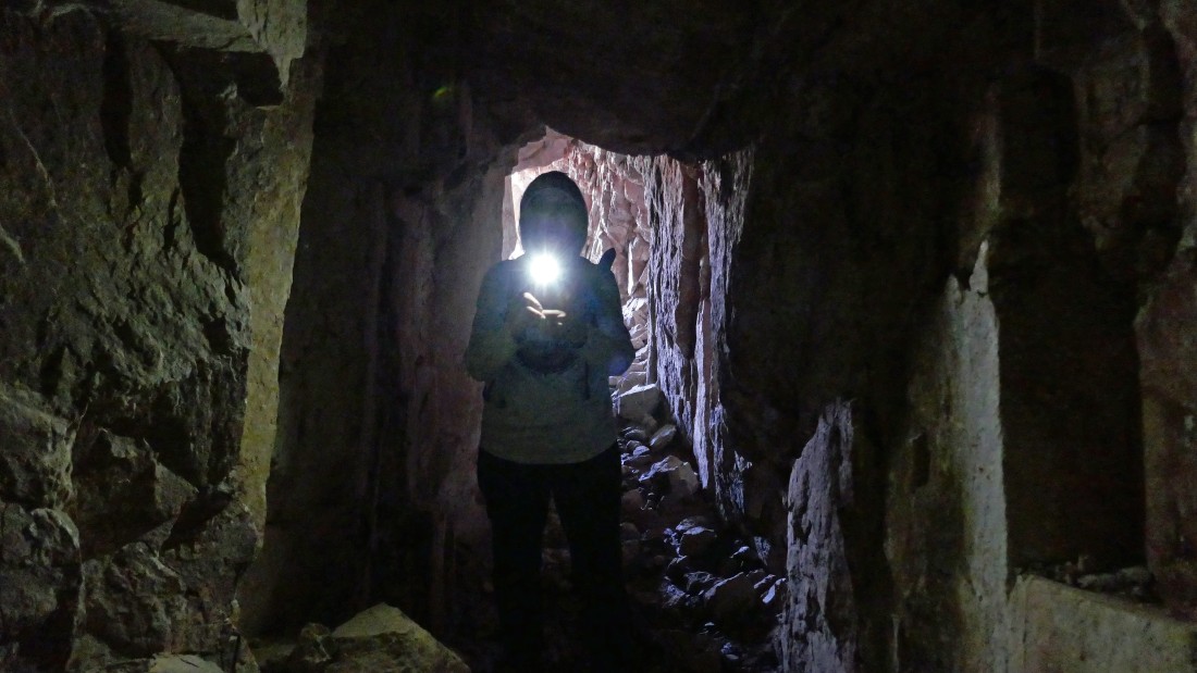
We hiked at least 50 feet into the mine before we got creeped out... my guess is that this mine went much further into the mountain.
|
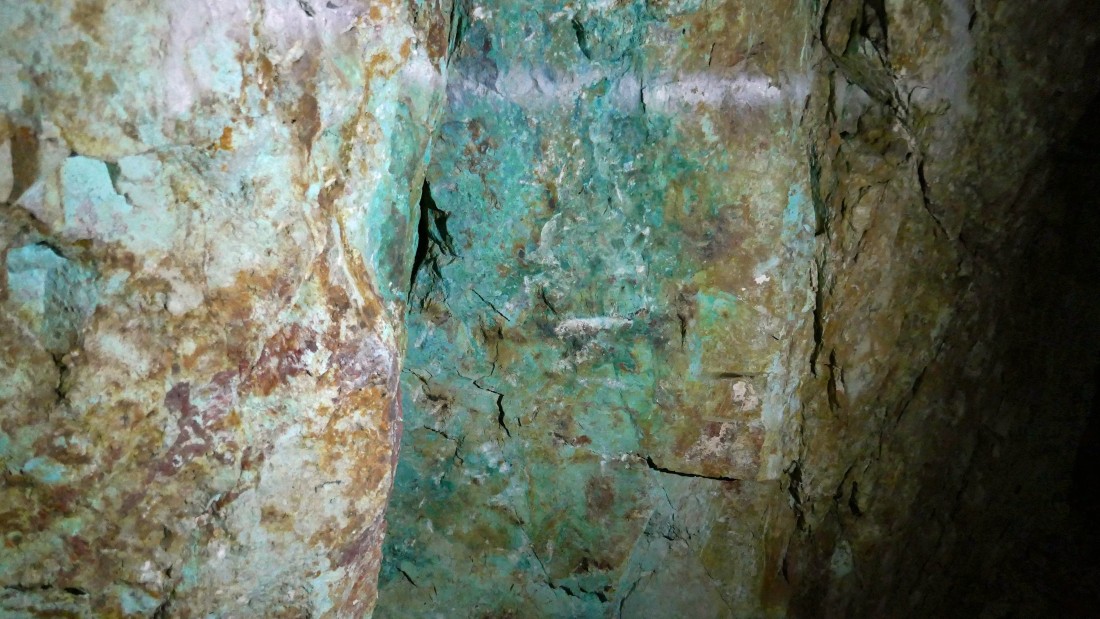
We also found plenty of evidence of turquoise in the copper mine.
|
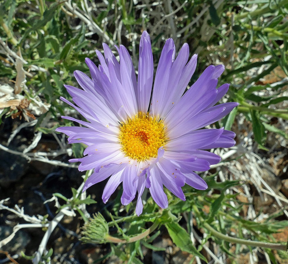
We have left the mines and are heading back to our car... there were lots of Mohave Asters in bloom.
|
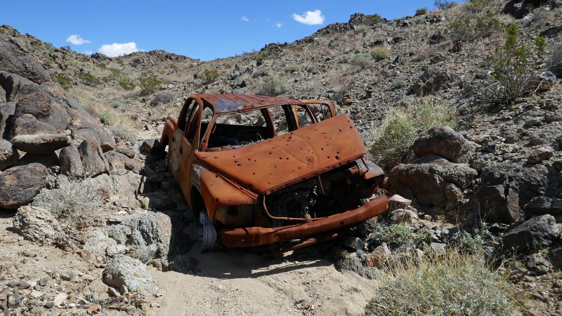
No... this isn't our car... it is beyond my imagination how this got here.
|
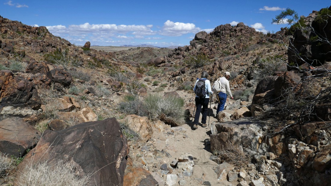
Almost out of the wash and back to the open desert.
|
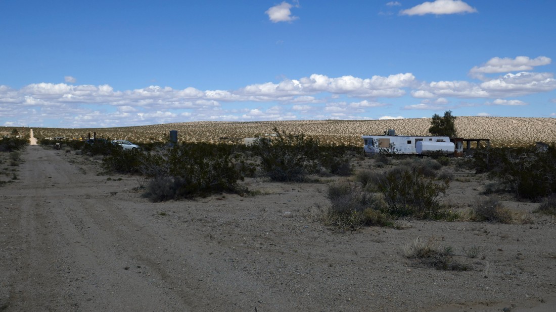
Almost back to our car at the abandoned trailer... the hike was a total of 3.1 miles, gaining 802 feet of elevation.
|
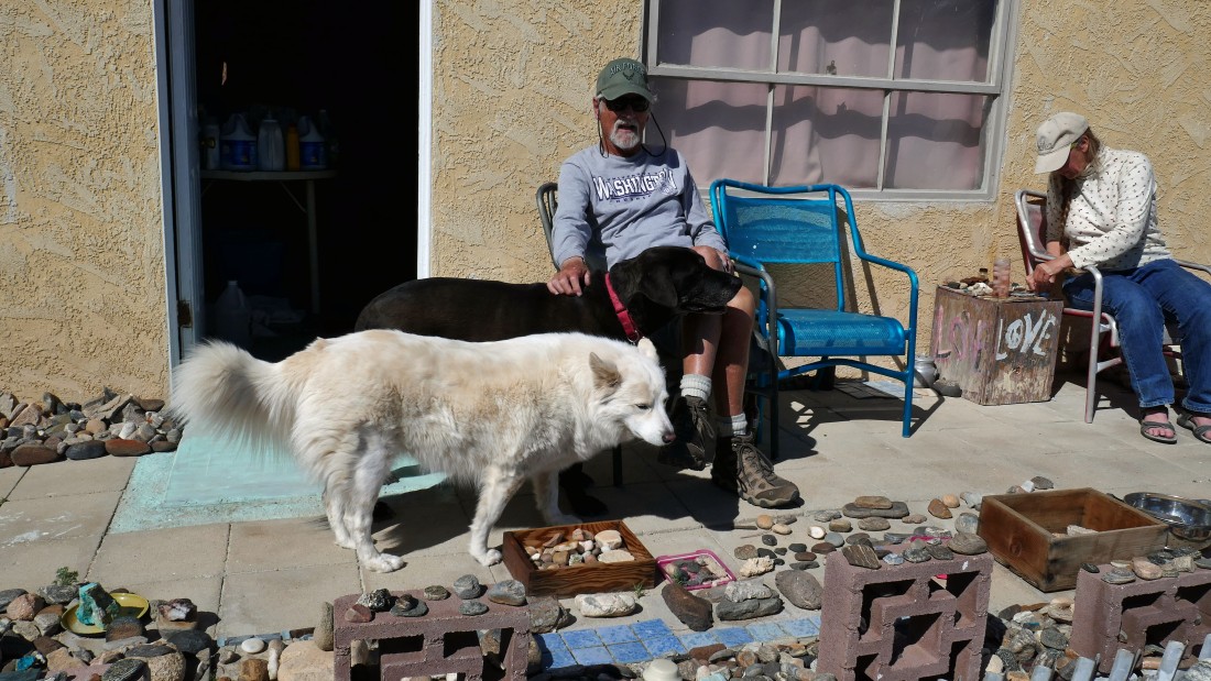
After our hike Star Dancer invited us over to her house... where we got to meet Presley (black) and Star.
|
