Warren Peak and Warren Vista - 3.28.2020
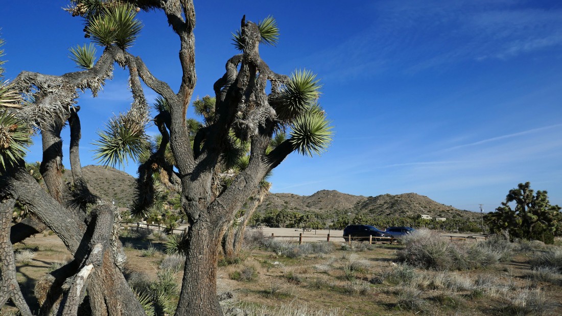
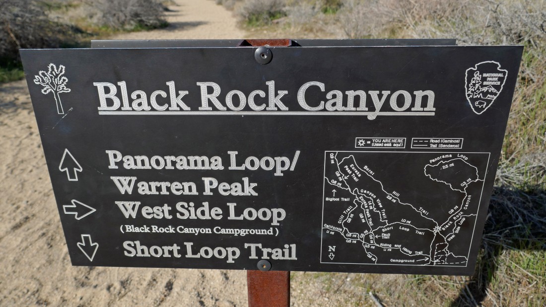
I parked in a huge day use area next to the Black Rock Campground in Joshua Tree National Park... at 8:15am there was only one other car... I will start hiking SE to find the Black Rock Canyon Trail.
|
Hiking across the closed Black Rock Campground looking for the Black Rock Canyon Trail.
|
Heading SE on an obvious path that I assume will take me over to the Black Rock Canyon Trail.
|
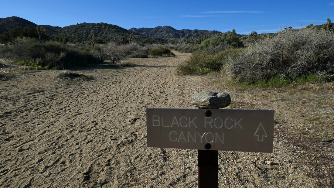
After hiking a quarter-mile I have found the Black Rock Canyon Trail... not sure why the sign doesn't mention the Black Rock Canyon Trail... but there is a sign several yards up the trail on the right that does.
|
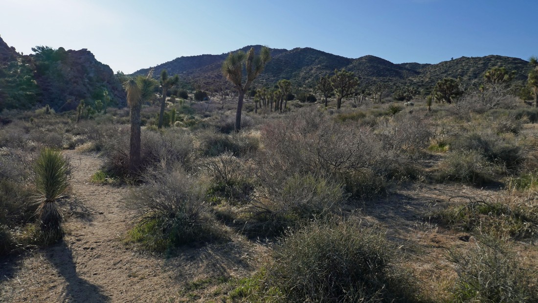
Now heading south as I gain elevation on the Black Rock Canyon Trail.
|
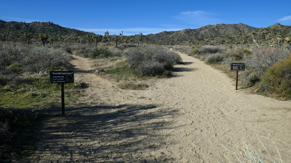
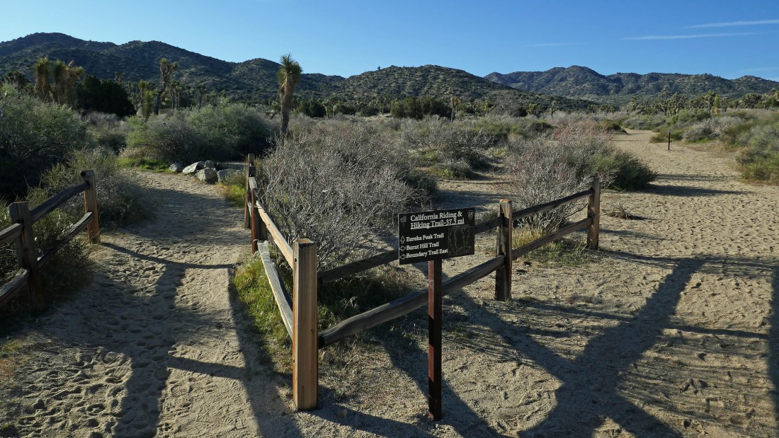
After hiking a total of .9 miles I have reached the junction of the Burnt Hill Trail and the Black Rock Canyon Trail... I will go to the right.
|
This is the sign at the junction of the Burnt Hill Trail and the Black Rock Canyon Trail.
|
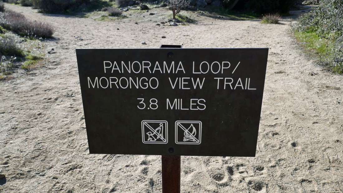
After hiking 2.3 miles I have reached the junction of the Panorama Loop Trail and the Morongo View Trail... which is really the Warren Peak Trail... I figured this out from the old wooden post that is at the very top of the photo.
|
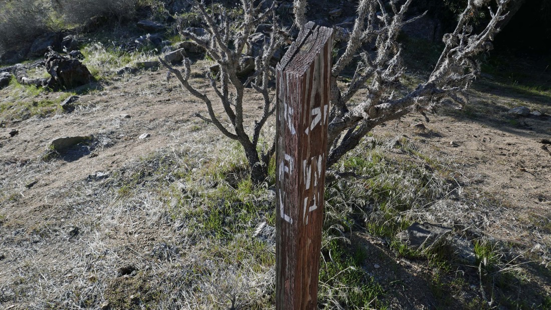
This is a photo of the old wooden post at the top of the previous photo... my interpretation is that PL going to the left means 'Panorama Loop'... and WP going to the right means 'Warren Peak'.
|
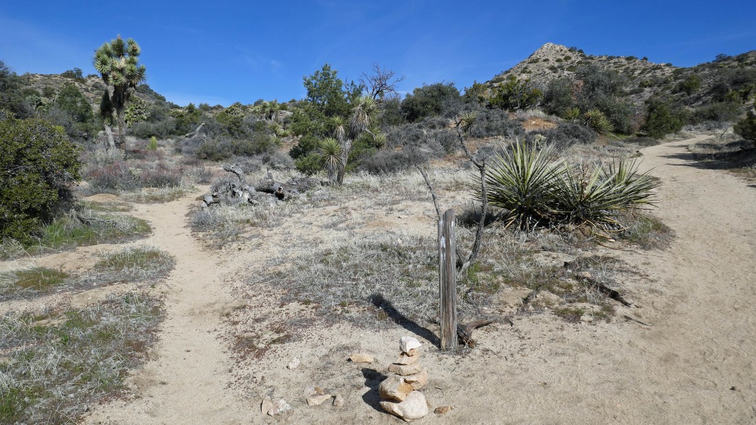
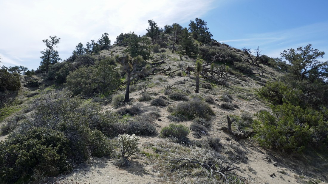
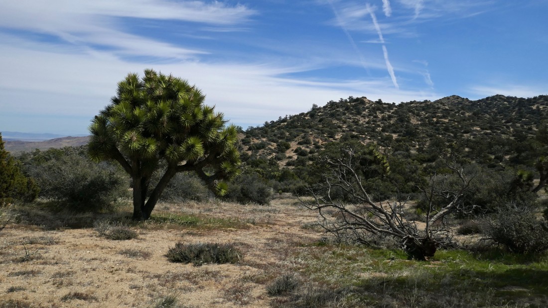
After hiking a total of 2.6 miles I have reached an old wooden sign... Warren Vista going to the left and Warren Peak going to the right... that is Warren Peak up there on the right... I will do the peak first... then go cross country from Warren Peak to Warren Vista.
|
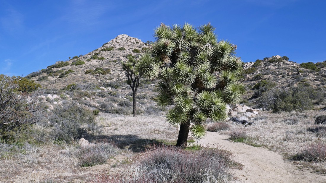
Heading for Warren Peak... there is a good trail all the way to the summit.
|
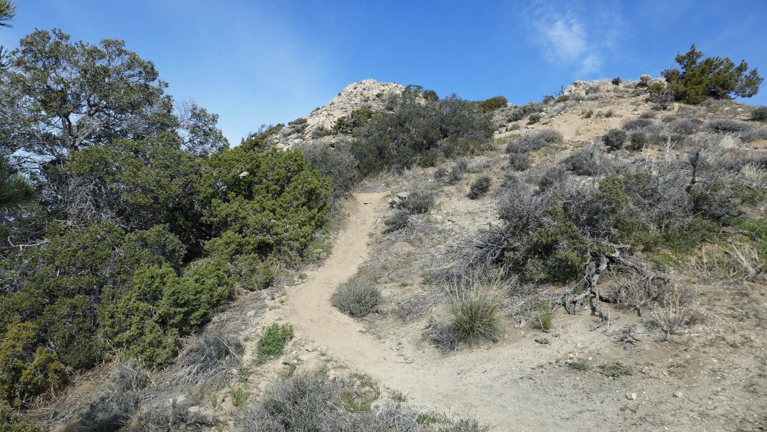
Continuing to Warren Peak along its SE ridge.
|
Every step higher gives a broader view... here looking beyond Coachella Valley to San Jacinto Peak... the city of Palm Springs sits at the base of the peak.
|
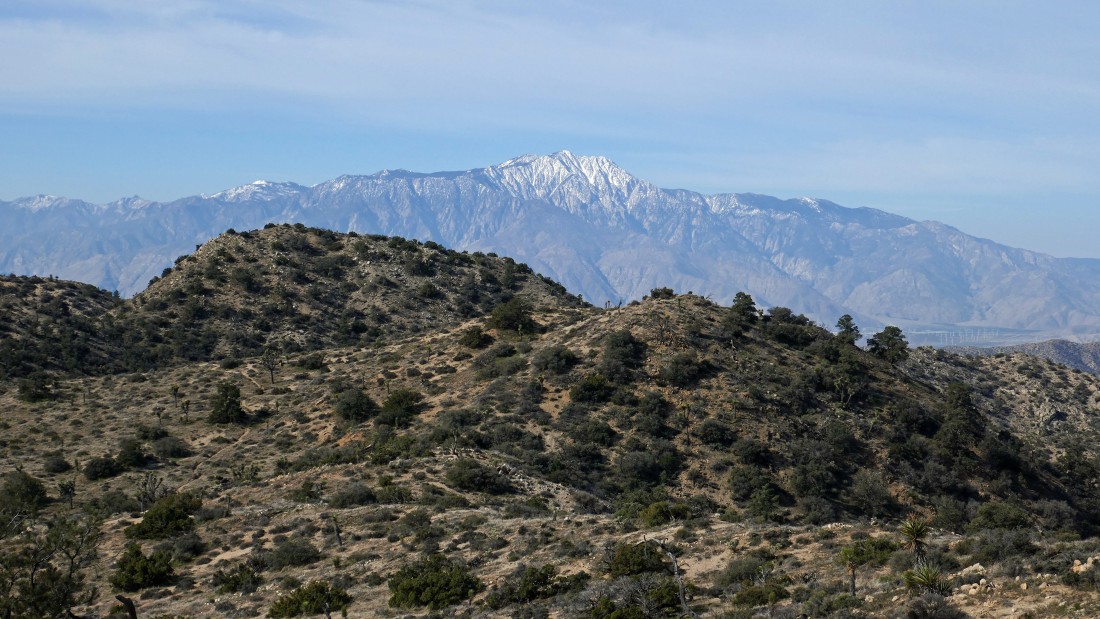
After hiking a total of 3 miles I have reached the summit (5103') of Warren Peak... with broad views in all directions... San Jacinto Peak stands out on the left horizon... with the snow covered San Gorgonio Mountain on the right.
|
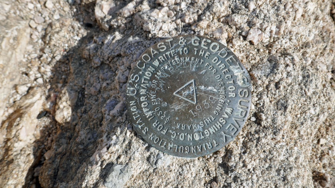
The benchmark was placed in 1939.
|
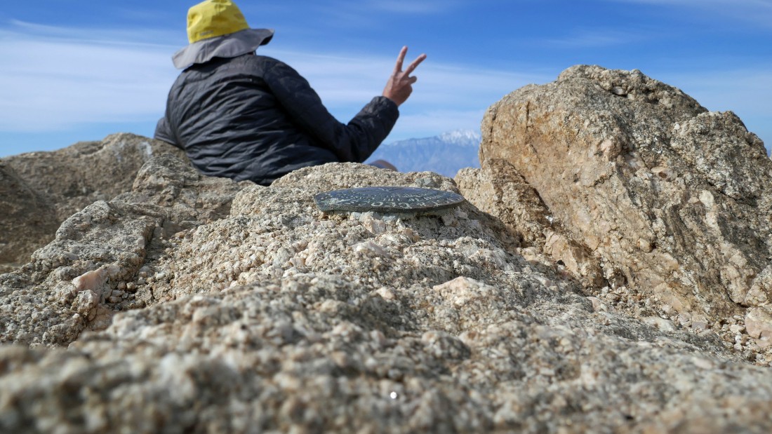
Greetings from the summit of Warren Peak.
|
On the Warren Peak summit in the Little San Bernardino Mountains... looking beyond Coachella Valley on the left to the Santa Rosa Mountains and the center to the San Jacinto Mountains... and looking beyond Morongo Valley on the right to San Gorgonio Mountain in the San Bernardino Mountains.
|
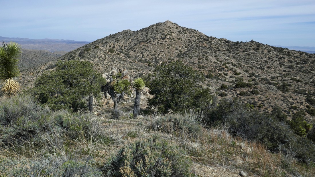
I have left the summit of Warren Peak and heading cross country to visit the little bump in the right foreground and Warren Vista (aka Point 5005) in the center of the photo.
|
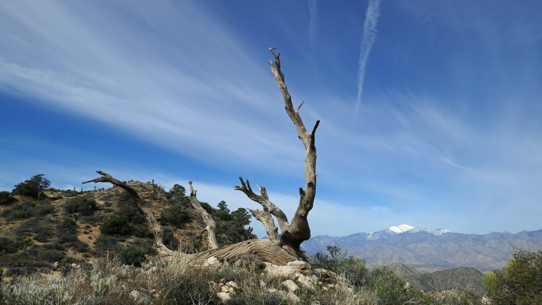
On my way to Warren Vista I saw a bird perched at the top of this snag... San Gorgonio in the distance.
|
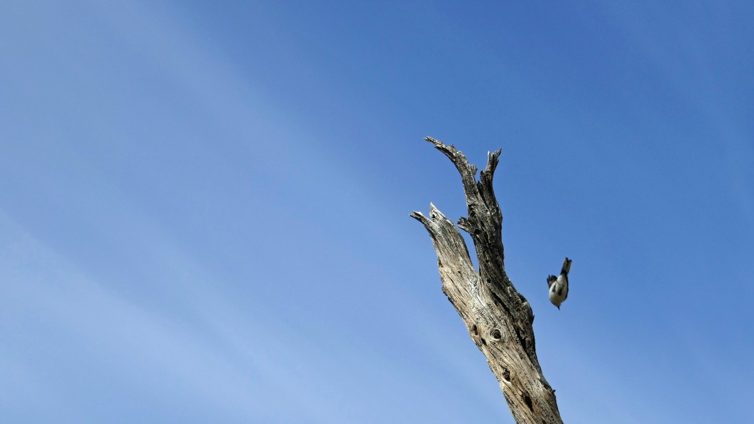
I tried to zoom in on the bird... but it did not cooperate.
|
|
Still heading cross country for Warren Vista on the far left.
|
Getting closer to Warren Vista.
|
Almost on top of Warren Vista.
|
After hiking a total of 3.7 miles I'm on the summit of Warren Vista (5005')... looking back at Warren Peak.
|
A pano from Warren Vista... on the left I'm looking beyond Coachella Valley to the San Jacinto Mountains... in the center I'm looking beyond Morongo Valley to San Gorgonio Mountain... and on the right I'm looking out into Yucca Valley.
|
Leaving Warren Vista... I will continue SE along the ridge for awhile.
|
Now heading east along the ridge... looking back at Warren Vista in the center of the photo... with Warren Peak beyond it on the right.
|
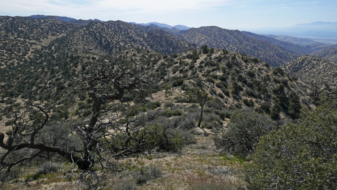
Still heading east along the ridge... looking for a good spot to leave the ridge and connect with the Panorama Loop Trail.
|
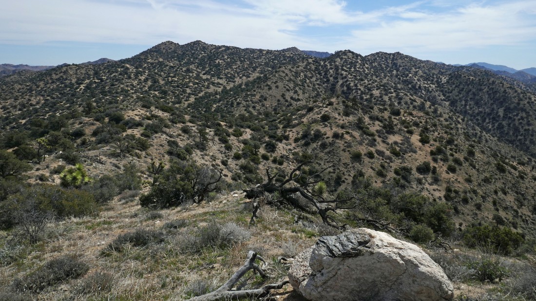
Still on the ridge... looking back at an unnamed bump on the left... Warren Vista in the center and Warren Peak on the far right.
|
After hiking a total of 4.1 miles I have left the ridge... heading NE in search of the Panorama Loop Trail.
|
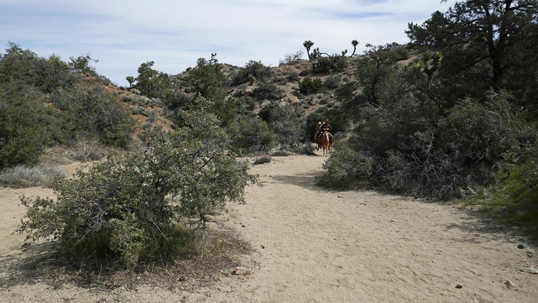
After hiking a total of 4.3 miles I have connected with the Panorama Loop Trail... now heading north to close the loop portion of the trip in another quarter mile... watching three horsemen approach.
|
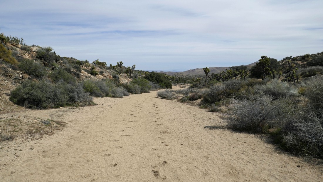
Back on the Black Rock Canyon Trail... now tracing my steps back to the car.
|
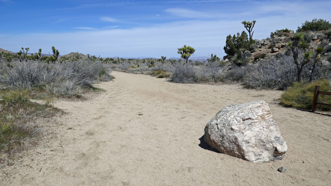
After hiking 6.5 miles I have reached the spot where I will leave the Black Rock Canyon Trail and follow the path back over to my car.
|
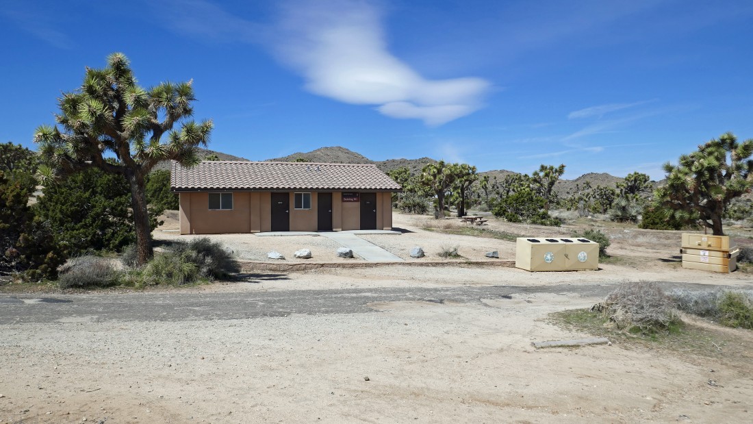
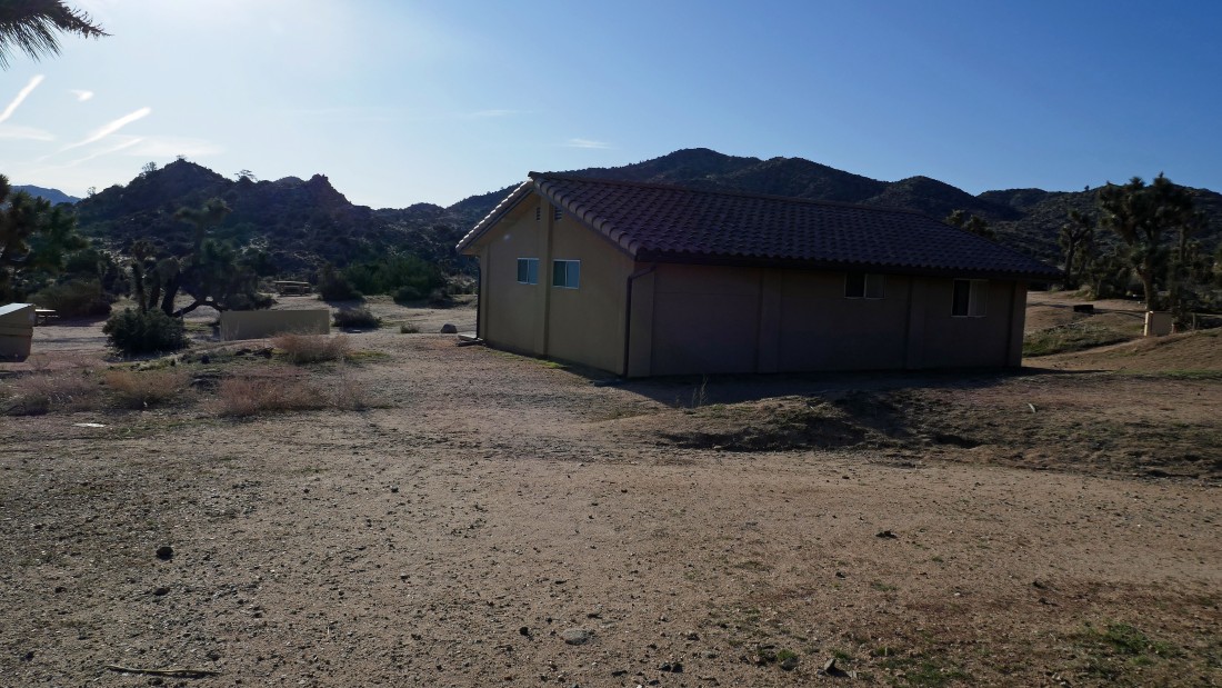
Back at Building 301 in the Black Rock Campground... with the day use area a stone's throw away.
|
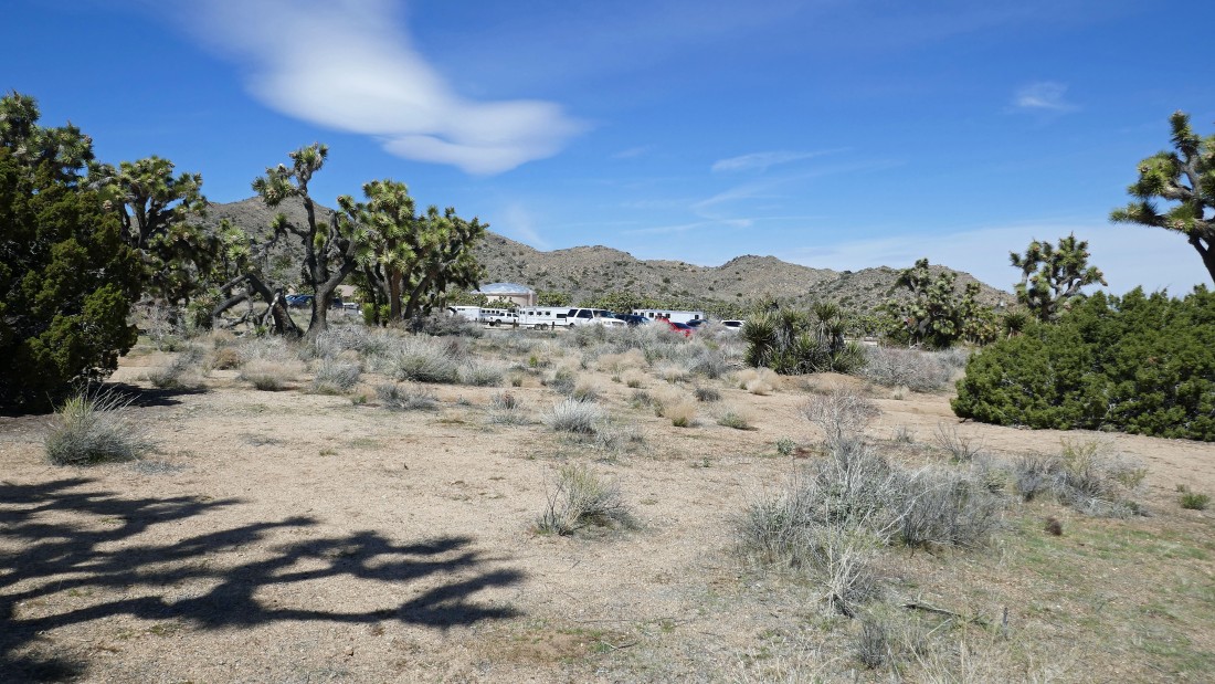
It is noon... and the day use parking area is a lot more busy... the hike was 6.8 miles, gaining 1456 feet of elevation.
|
