Chaparrosa Peak and Point 5315 - 4.2.2020
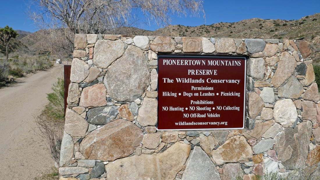
This hike is located in the Pioneertown Mountains Preserve... an hour drive from Palm Springs.
|
This was my first visit to this preserve and I parked in the lower parking lot... if I do this hike again, I will drive up to the official trailhead which is a very short drive up to the little hill in the left foreground.
|
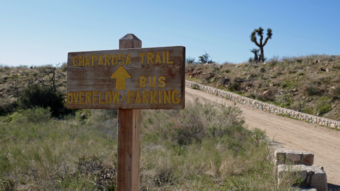
I'm walking up to the top of the little hill where there is a much larger parking area.
|
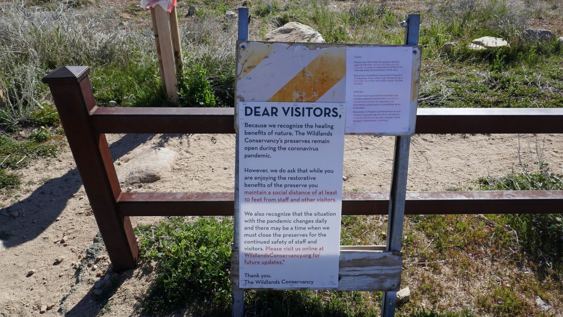
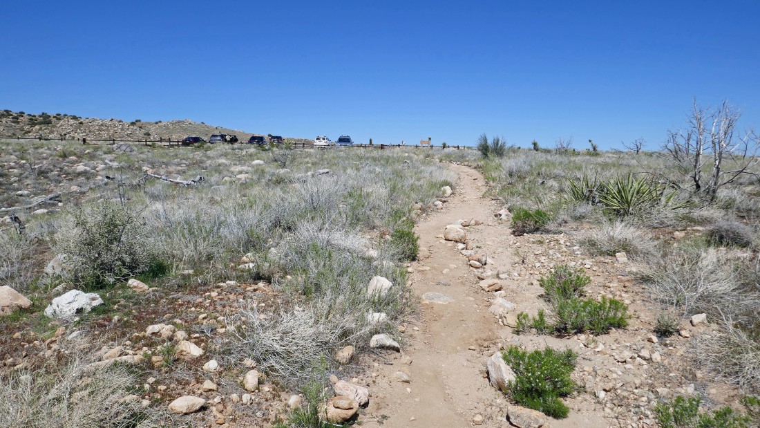
The Chaparrosa Peak Trailhead... all facilities are closed, but the trails are still open... requesting social distancing of 10 feet.
|
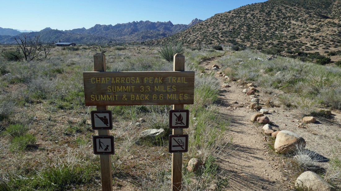
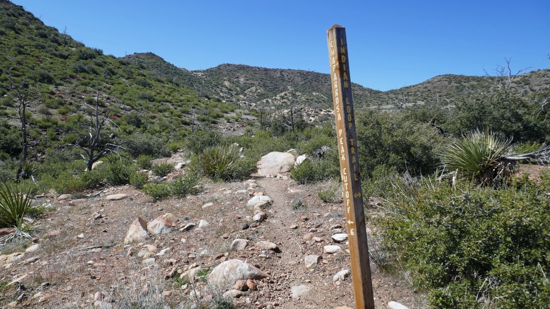
This sign is just beyond the trailhead... however, it is only 3 miles to the Chaparrosa Peak summit... perhaps the trail has been rerouted since the sign was created.
|
|
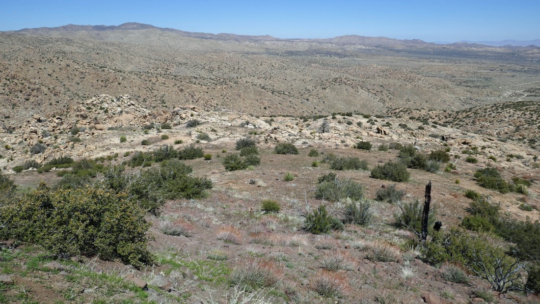
More than half of the elevation is gained in the first mile of the hike... as the trail will take me up and around the hill in the left foreground.
|
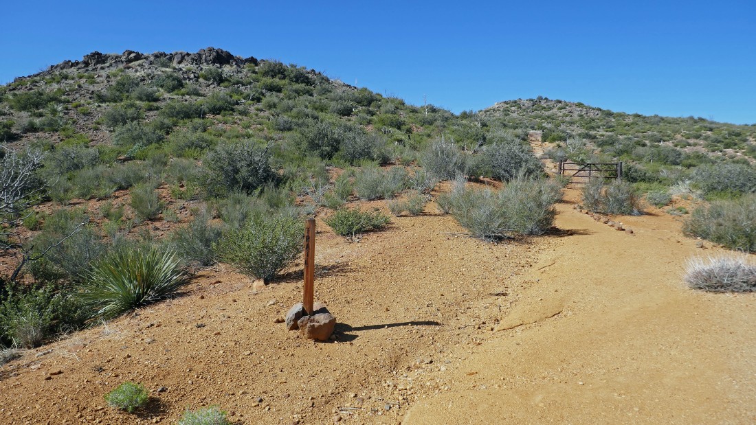
After hiking one mile I have reached a gate... but the trail continues beyond the gate and will take me up between the two hills in the photo.
|
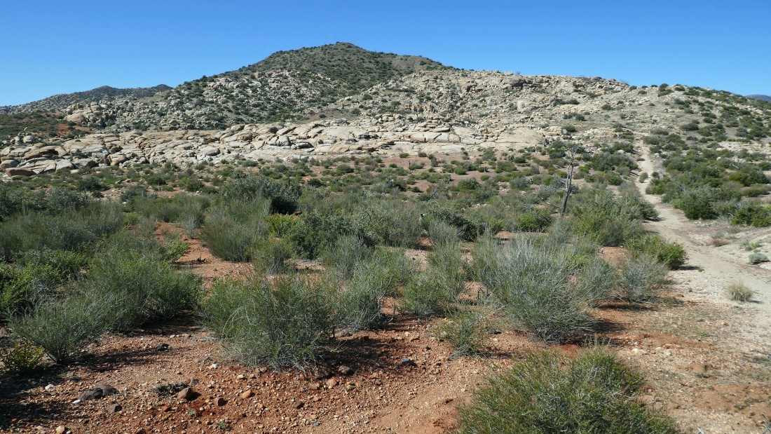
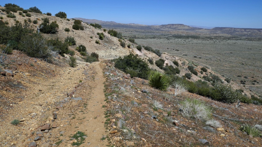
Continuing to gain elevation... as the trail will take me up through the interesting rock formations in the foreground.
|
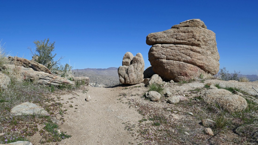
Continuing through very cool rock formations.
|
Broader views with every step higher... looking back to the north (left)... with Pioneertown out there in the distance on the right (east).
|
|
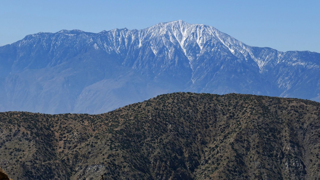
Continuing SW on the trail... I didn't know it when I took the photo, but Chaparrosa Peak is the second bump from the left... the San Bernardino Mountains are on the distant horizon.
|
Gaining elevation toward Chaparrosa Peak in the left center of the photo.
|
After hiking a total of 2.1 miles I have reached a junction with the Indian Loop Trail... actually I have been hiking on the Indian Loop Trail since the beginning of the hike, but it is not advertised as the Indian Loop Trail.
|
The higher I hike the more interesting the rock formations.
|
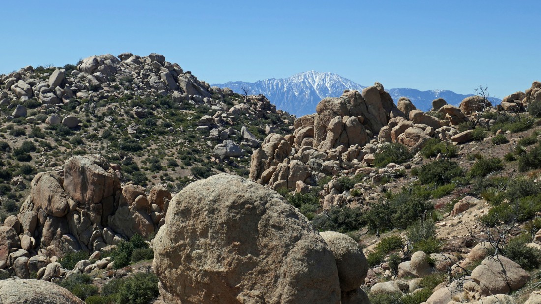
High enough now to see the San Jacinto Mountains on the horizon to the SW.
|
After hiking a total of 3 miles I have reached the summit of Chaparrosa Peak... with the San Bernardino Mountains on the horizon.
|
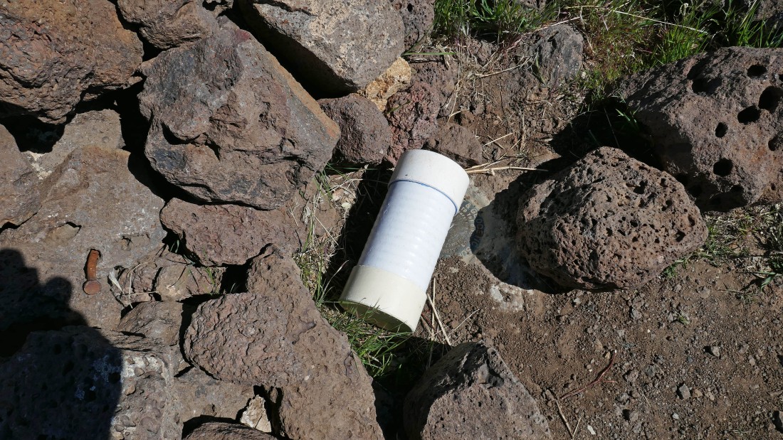
Yes... there was a summit register and benchmark on the summit, but I chose not to touch either of them.
|
This panorama photo and the next 3 photos comprise a 360 degree view from the Chaparrosa Peak summit... here looking SW to the San Jacinto Mountains on the left to the San Bernardino Mountains (west) in the center of the photo.
|
Looking west (left) to north (right).
|
Looking north (left) to the east (right) with Joshua Tree National Park on the right horizon.
|
|
Looking east (left) to the Little San Bernardino Mountains and Joshua Tree National Park... with the Santa Rosa Mountains and San Jacinto Mountains in the center and right.
|
A close up of San Jacinto Mountain from the Chaparrosa Peak summit.
|
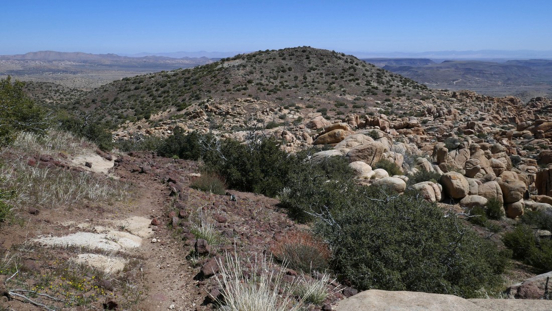
Leaving the summit of Chaparrosa Peak... I will leave the main trail when I get down to a saddle and head up to Point 5315 in the foreground... then follow the ridge for awhile to keep the broad views as long as I can.
|
After hiking a total of 3.3 miles I have reached the saddle between Chaparrosa Peak and Point 5315 in the foreground... time to continue on up to Point 5315 on very easy terrain.
|
Continuing to Point 5315 and looking back at Chaparrosa Peak in the center of the photo.
|
|
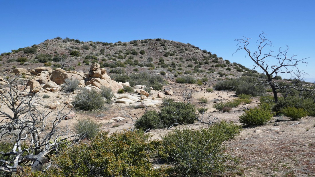
Oops... that is Point 5315 over there and I will have to give up 120 feet of elevation and then regain it to get over there... but staying on the ridge is well worth it.
|
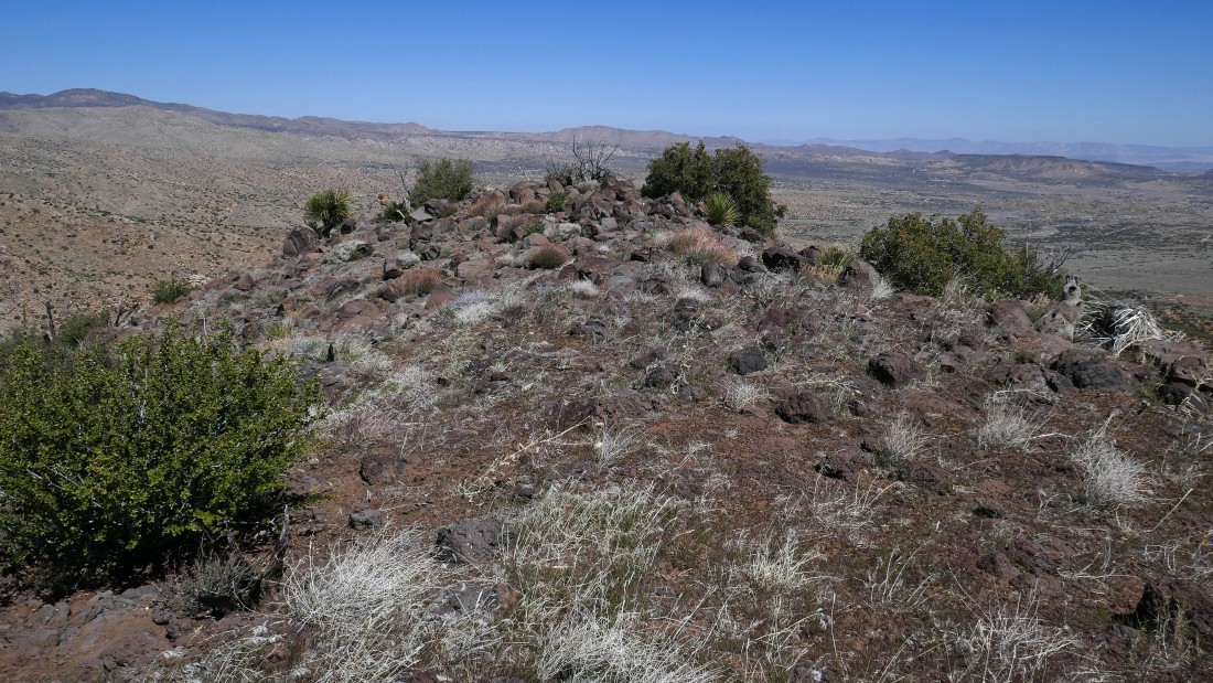
After hiking a total of 3.7 miles I have reached Point 5315... which feels like a very large mesa... i.e. flat as a pancake.
|
I hiked on the Point 5315 mesa for close to a quarter mile before it narrowed.
|
I have left the Point 5315 mesa and will rejoin the main trail after hiking a total of 4.2 miles.
|
Back on the main trail and tracing my steps back to the car... looking NE across Bowden Flat to Flat Top (the very large mesa in the right center of the photo)... Pioneertown is to the east in the distance on the far right.
|
Heading for the car on what used to be a road.
|
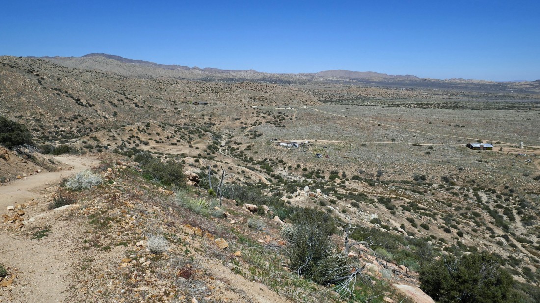
I can see the trailhead parking area out there in the center of the photo... beyond the homestead in the foreground.
|
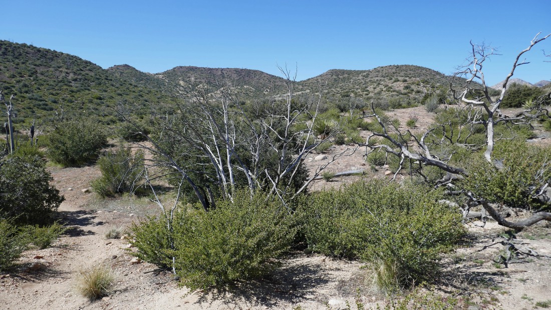
Back down in the canyon... tracing my steps back to the car.
|
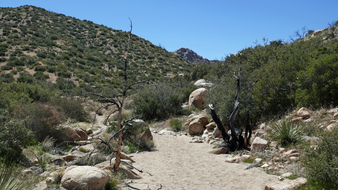
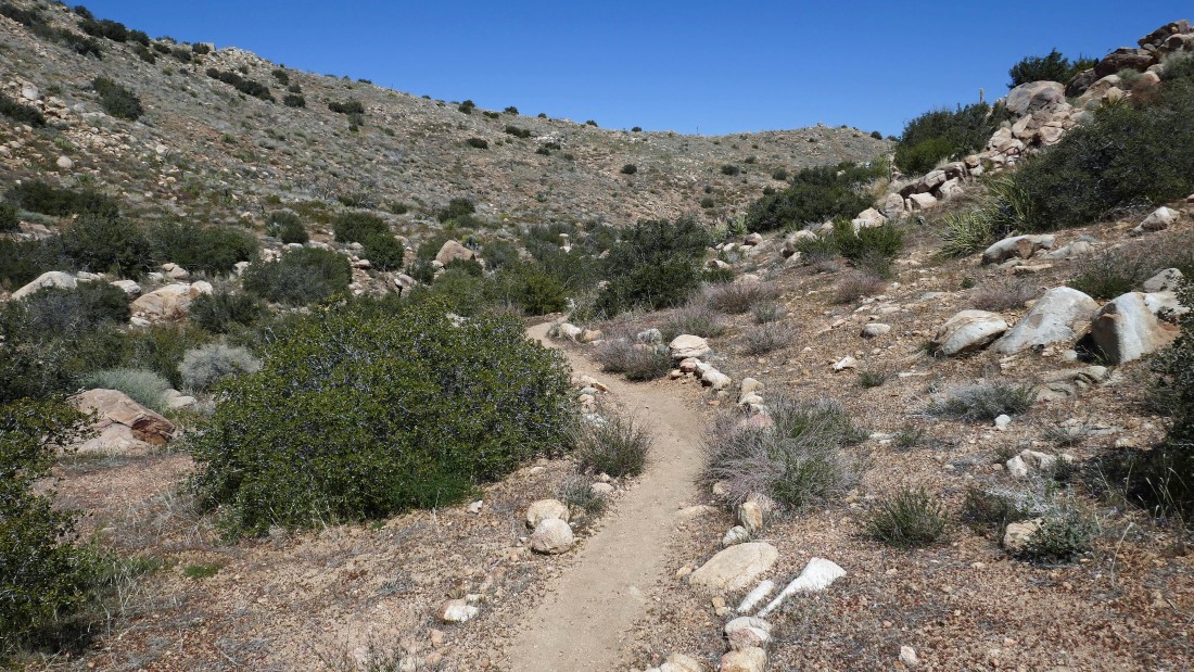
The trail crosses this wash... and on the way in I couldn't help but notice all of the foot prints going up and down it... and I also noticed that incredible rock formation up at the head of the canyon... kind of feels like I will return to check it out.
|
The parking lot is a stone's throw away... the hike was 5.7 miles, gaining 1611 feet of elevation.
|
