Catclaw Flat Red 21 Peak - 4.5.2020
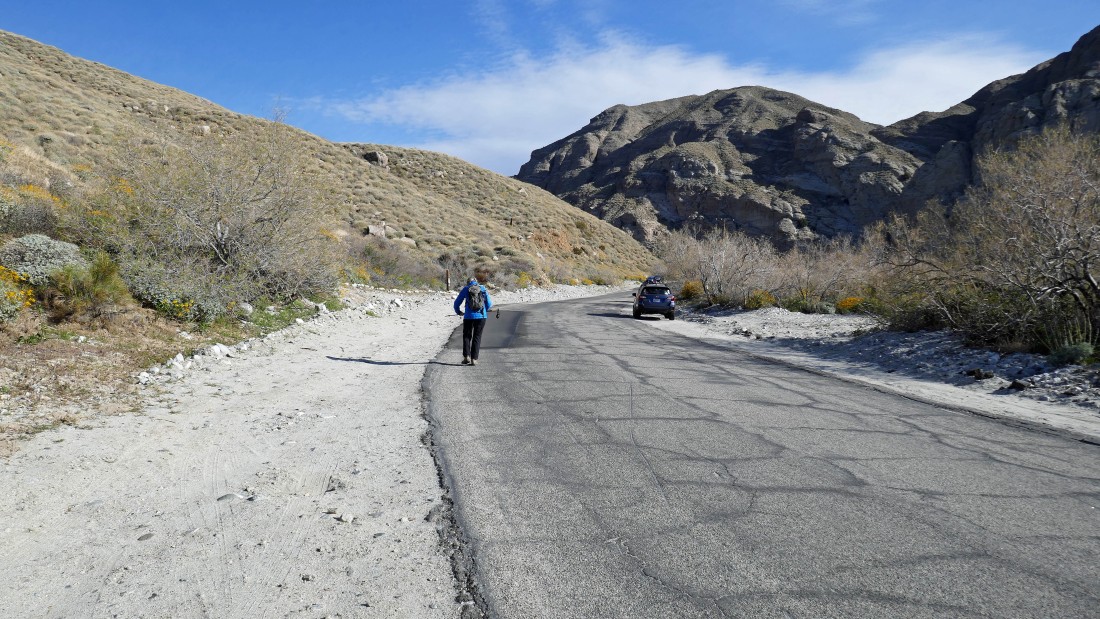
The Whitewater Preserve is currently closed due to the coronavirus... so we parked on the side of the road .7 miles before reaching the visitor center and started hiking up the open PCT Connector trail.
|
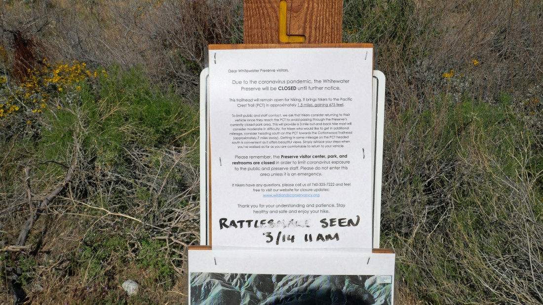
Info posted at the trailhead.
|
Gaining elevation on the PCT Connector Trail above the Whitewater Preserve... here looking north up Whitewater Canyon.
|
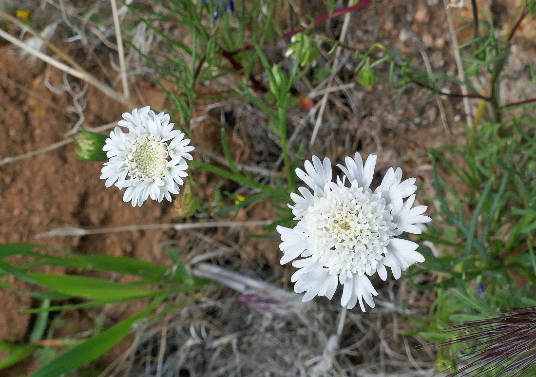
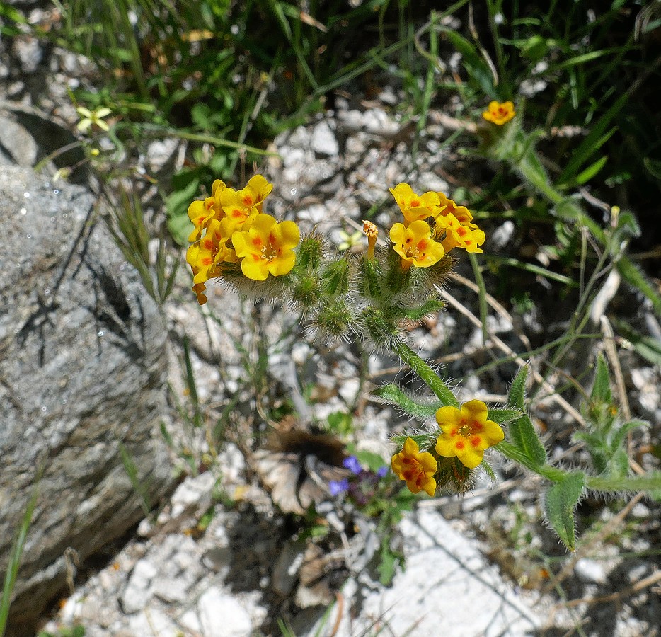
Pincushions.
|
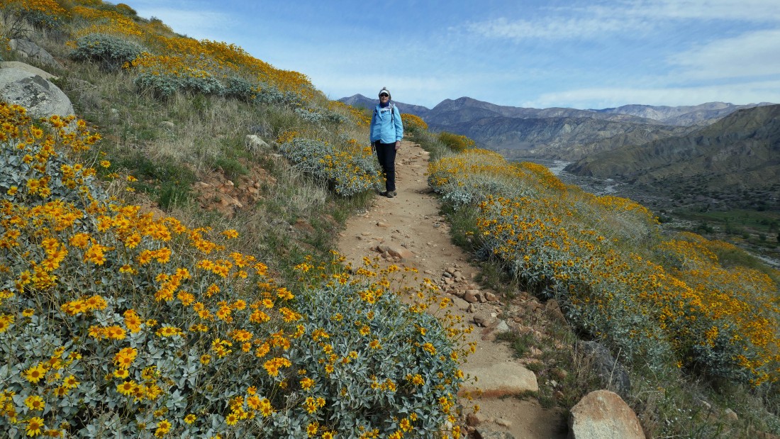
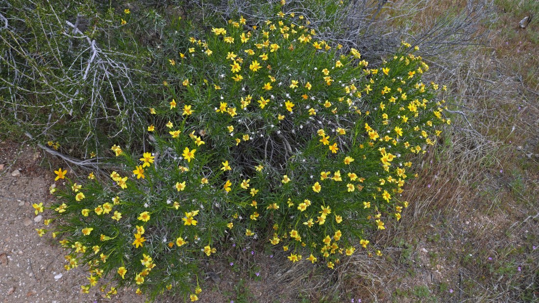
Denali Girl in a sea of yellow coreopsis on the PCT.
|
Continuing north on the PCT Connector Trail.
|
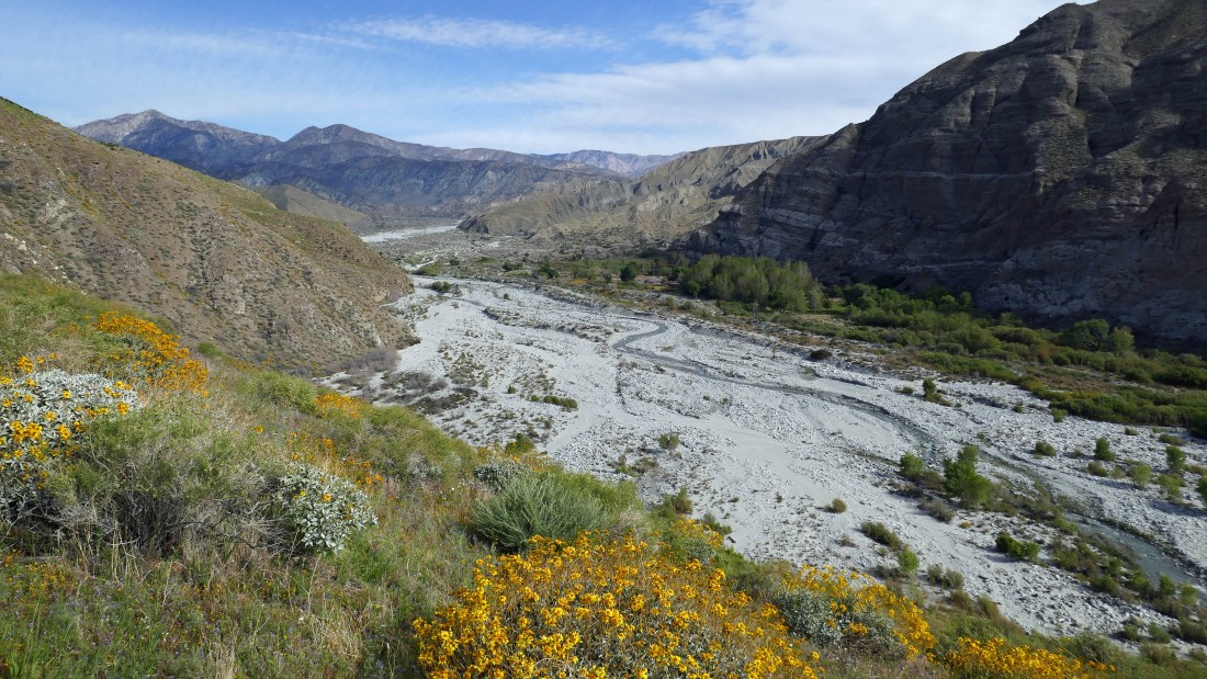
Looking back down Whitewater Canyon... with the San Jacinto Mountains on the right horizon.
|
After gaining ~500 feet of elevation on the PCT Connector Trail, the trail flattens out some... as we continue north in search of the official PCT.
|
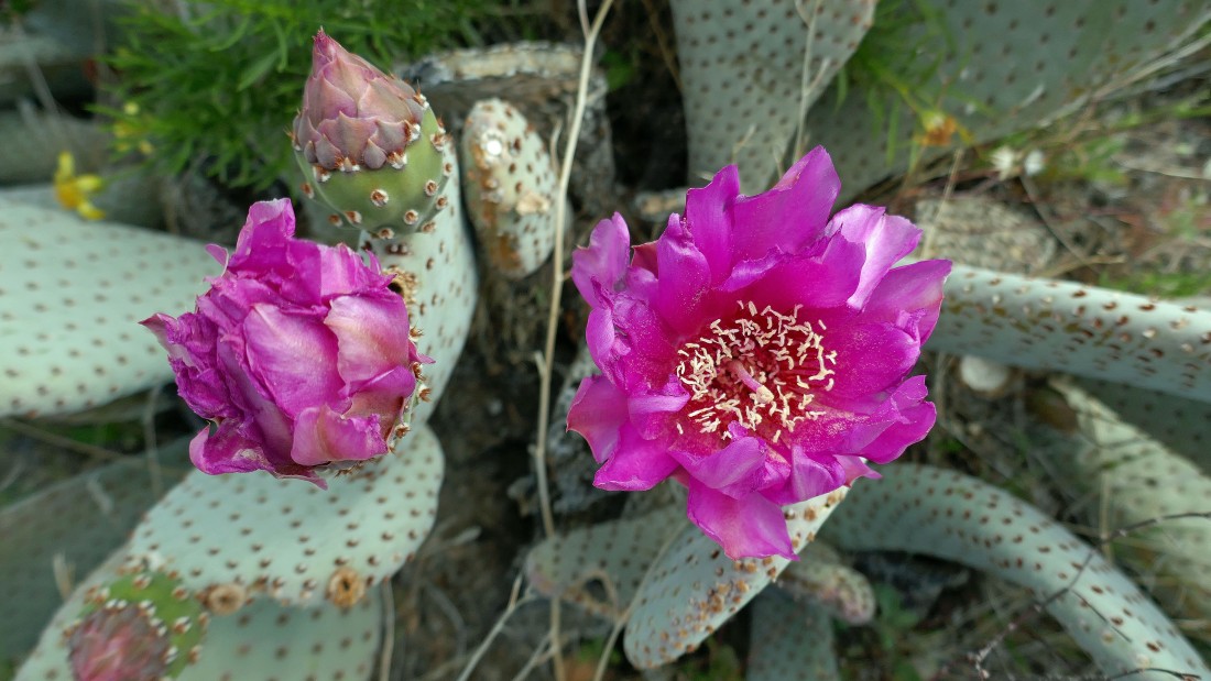
A Beavertail Cactus in bloom.
|
Still heading north on the connector trail... eventually we will take the official PCT and follow it over toward the very large hill on the far left.
|
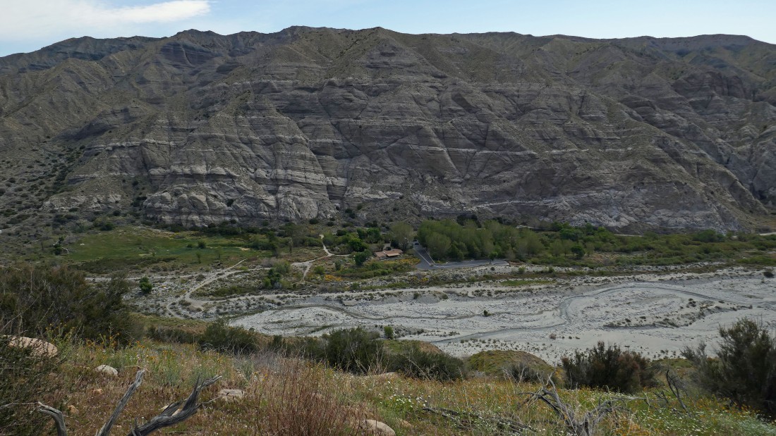
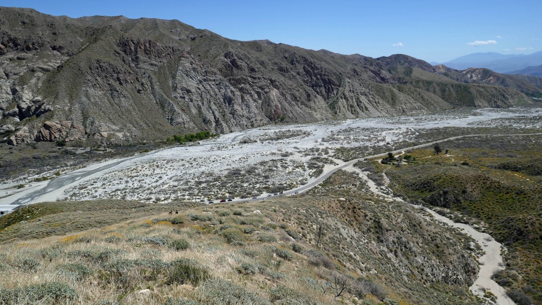
Looking down on the Whitewater Preserve Visitor Center.
|
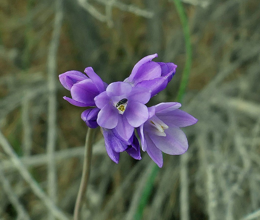
A bug enjoys this Wild Onion.
|
One of the many varieties of Coreopsis... aka Tickseed.
|
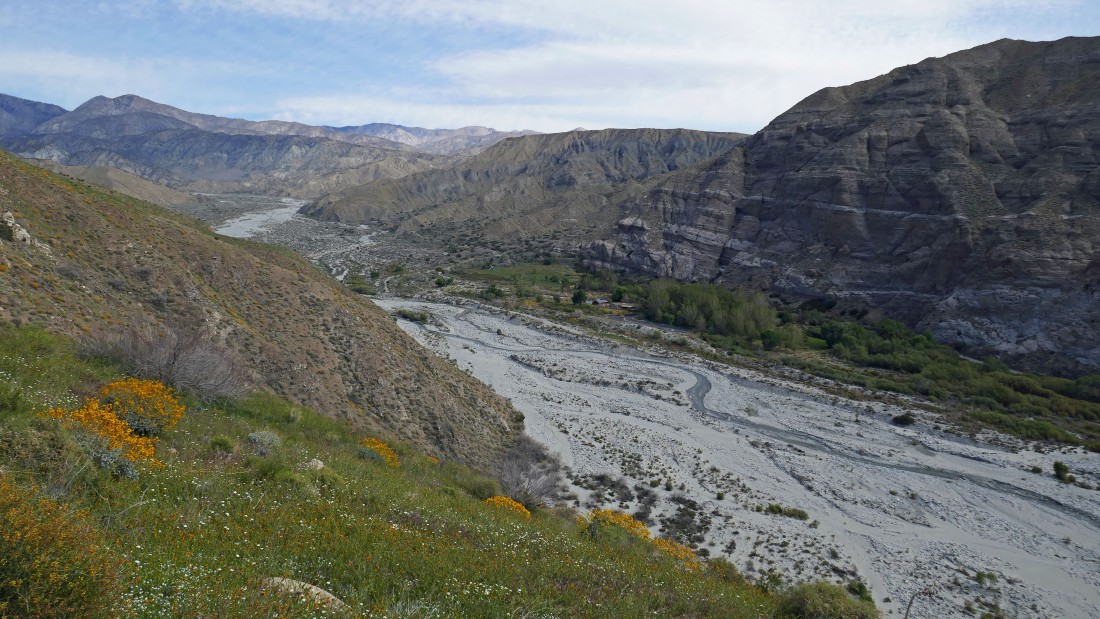
Looking down at where the PCT runs through the Whitewater Preserve.
|
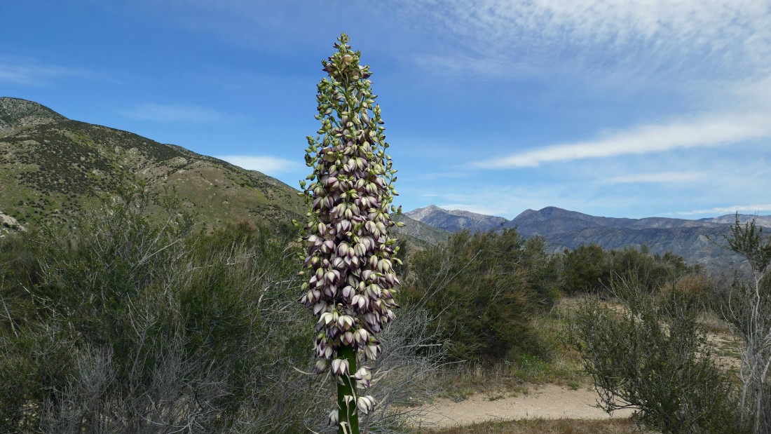
Yucca Plant in bloom.
|
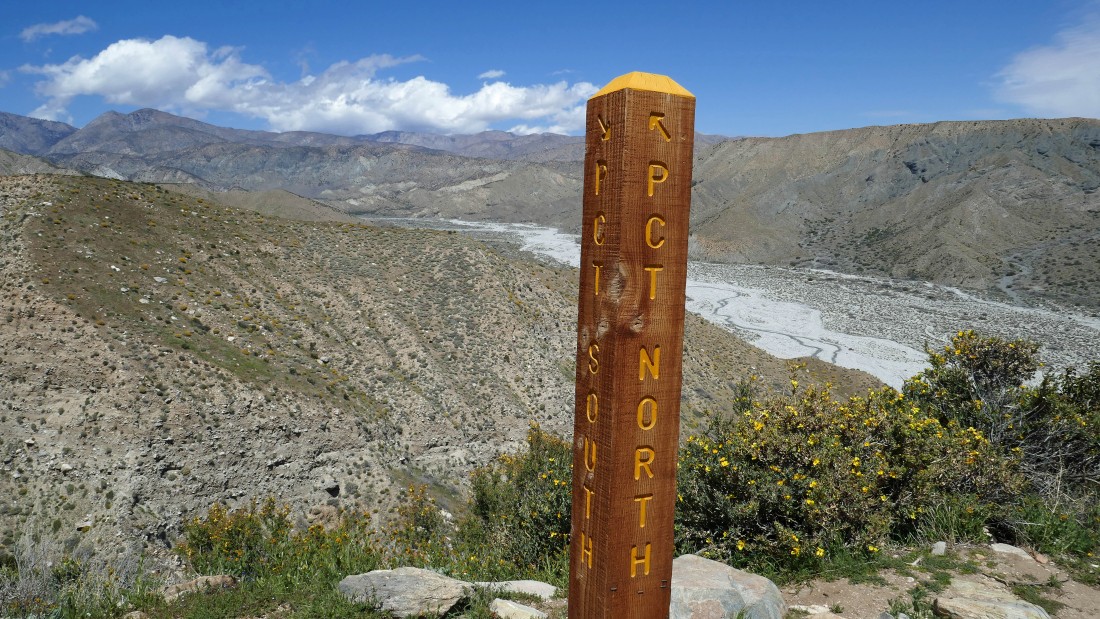
After hiking 1.5 miles we have reached the junction of the PCT Connector Trail and the official PCT trail... we will continue on the PCT-South Trail because the PCT-North Trail is closed because it drops down into the Whitewater Preserve.
|
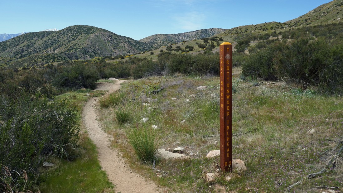
Hiking south on the PCT toward the Cottonwood Visitor Center which is located 6.3 miles from this sign post.
|
After hiking a total of 1.8 miles Gail will continue for awhile on the PCT while I head cross country for the hilltop above.
|
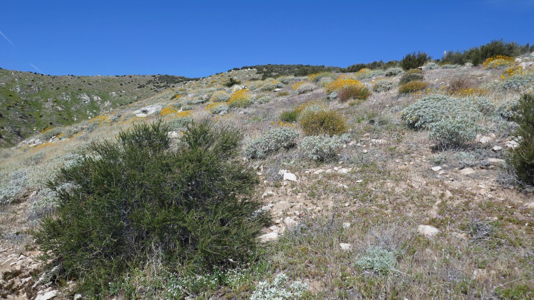
Gaining elevation on easy terrain.
|
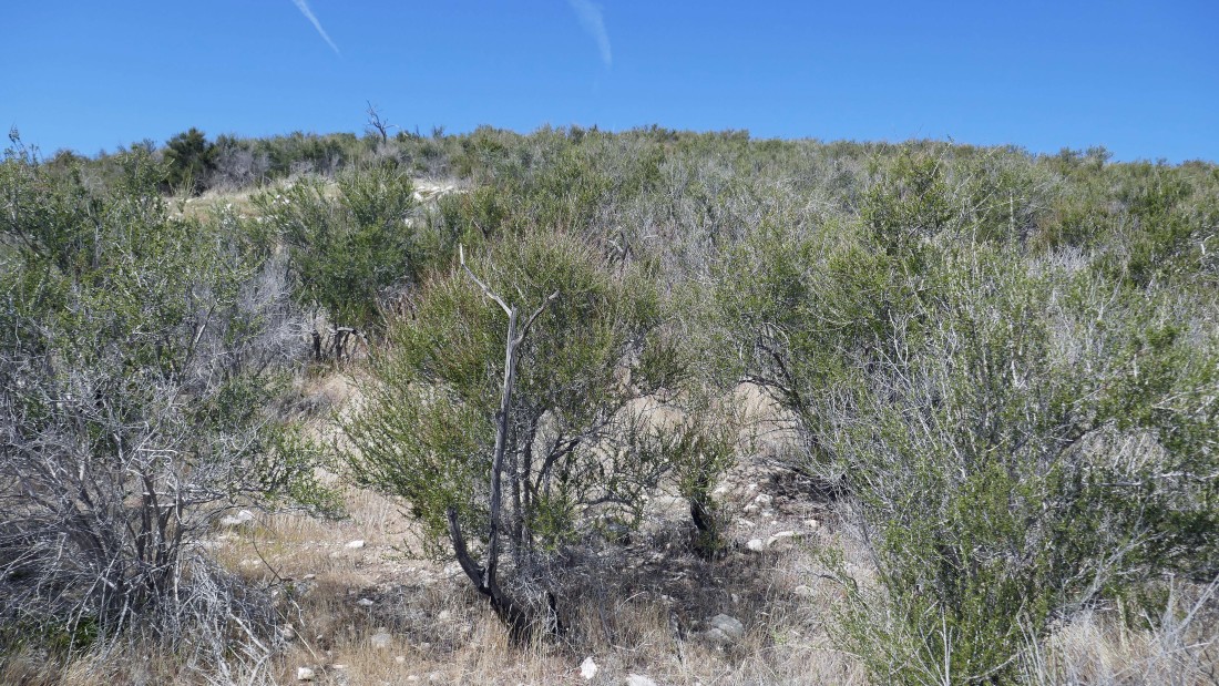
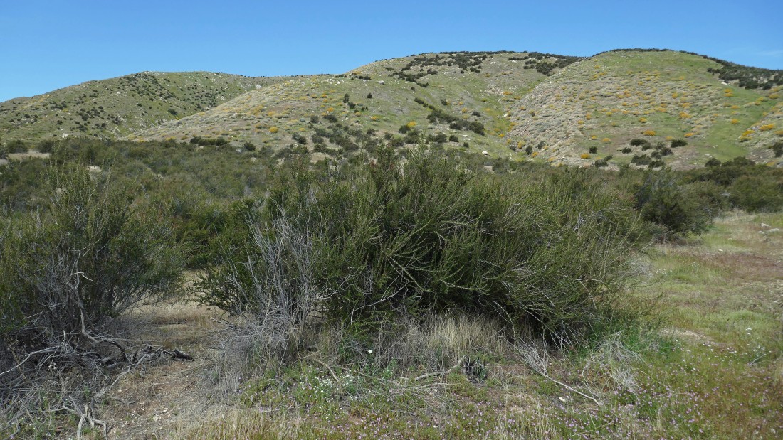
Part of the uphill route is through a maze of schrubs and bushes.
|
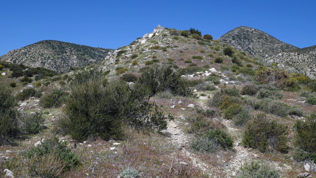
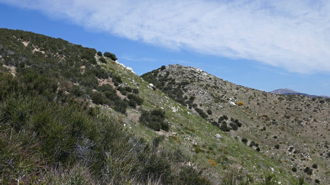
After gaining 700 feet of elevation after leaving the PCT I got a good look at what I thought was Catclaw Flat Red 21 Peak in the foreground.
|
After hiking a total of 2.4 miles I'm on the summit (3560+) of what I thought was Catclaw Flat Red 21 Peak... here looking south to the San Jacinto Mountains on the horizon.
|
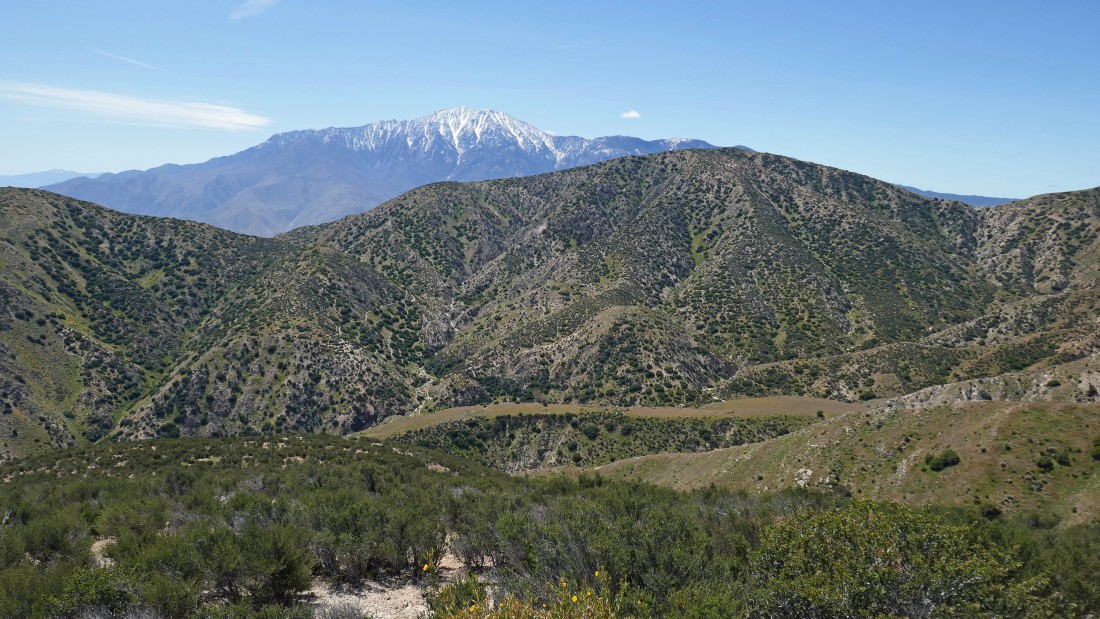
Looking across Whitewater Canyon to the east end of the San Bernardino Mountains.
|
Looking SE beyond Whitewater Canyon to Coachella Valley in the center of the photo... and south to the San Jacinto Mountains on the far right.
|
I looked at my GPS track and realized that Catclaw Flat Red 21 Peak is the little bump a stone's throw from where I was standing.
|
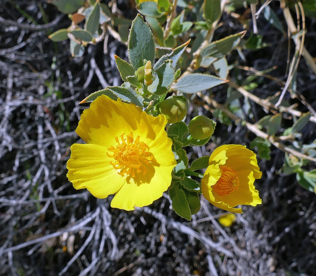
Bush poppy.
|
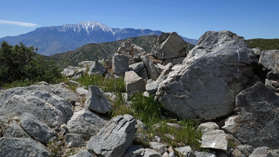
After hiking a total of 2.5 miles I'm on the summit of Catclaw Flat Red 21 Peak (3609')... I gave it the name because it was in the center of Quad 21 on the Catclaw Flat USGS Topo Map.
|
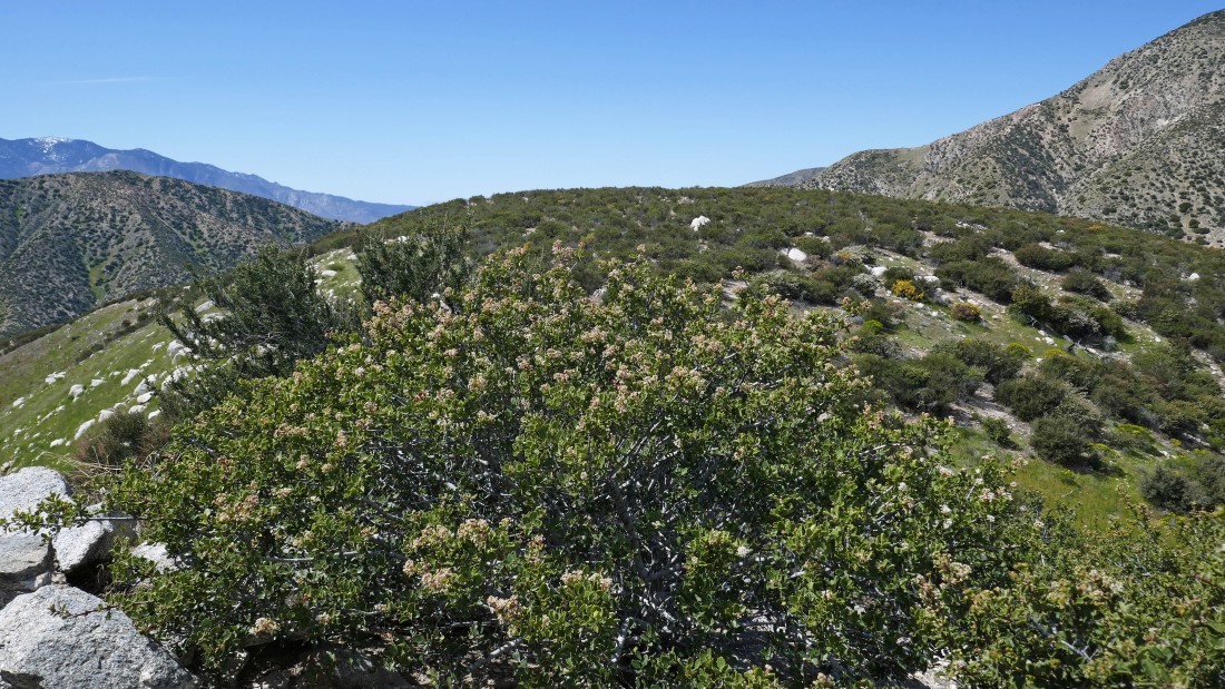
Leaving the summit of Catclaw Flat Red 21 Peak and continuing south... where I will reconnect with the PCT.
|
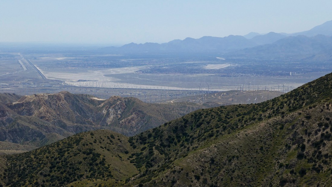
A closeup... looking SE to Coachella Valley... and the large number of windmills.
|
Continuing south... down toward the PCT... in 2018 I was in this area and saw a large group of backpackers camped on the large plateau below... the PCT crosses the plateau and continues up and over the ridge in the foreground.
|
Continuing down toward the PCT and looking back up at what I had originally thought to be Catclaw Flat Red 21 Peak.
|
I can see the PCT below... and the large plateau where I had seen the backpackers in 2018.
|
After hiking a total of 3 miles I have joined the PCT... looking back up at Catclaw Flat Red 21 Peak.
|
Devil's Lettuce... aka Checker Fiddleneck.
|
Heading NE on the PCT... where I will close the loop portion of the hike.
|
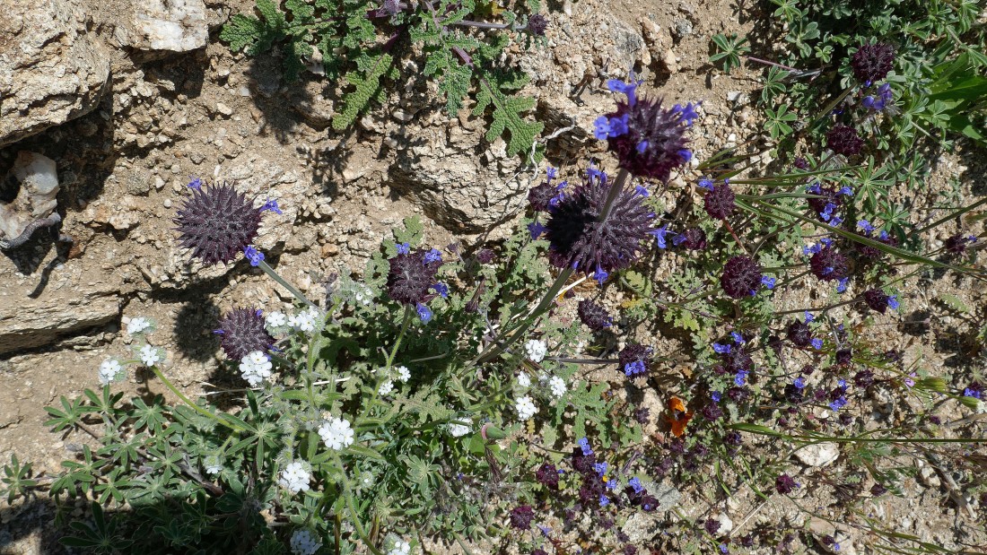
Chia.
|
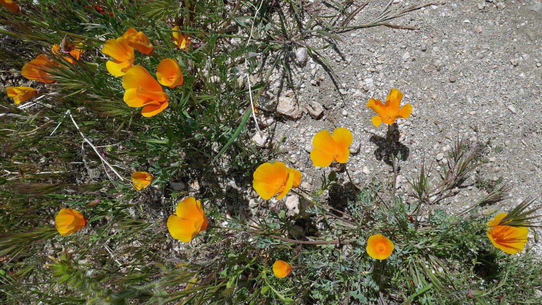
Orange California poppy.
|
After hiking a total of 4.2 miles I have returned to the spot where I will follow this PCT Connector Trail 1.5 miles back to the car.
|
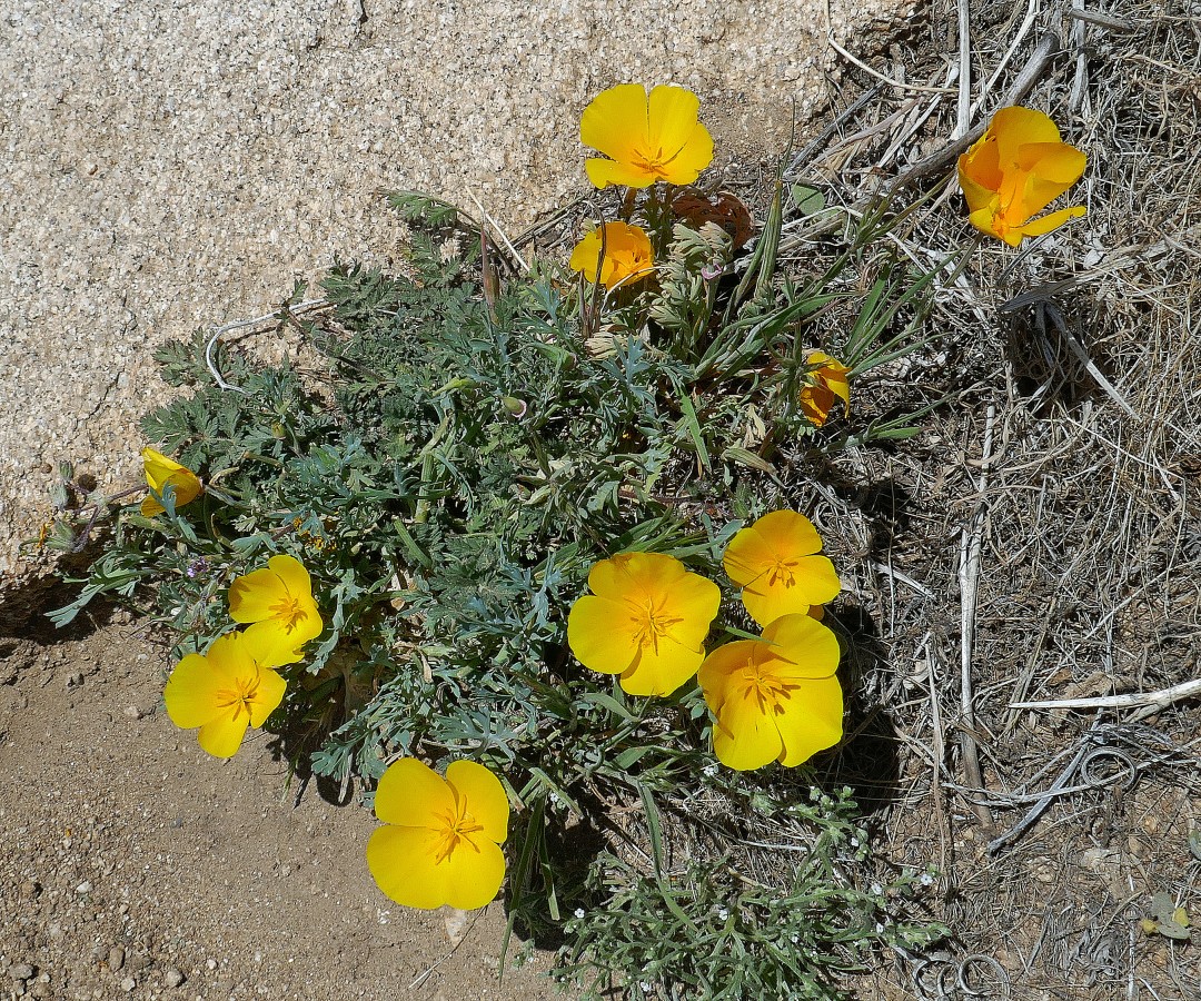
Yellow California poppy.
|
I can see our car below on the Whitewater Canyon Road... the hike was 5.7 miles, gaining 1906 feet of elevation.
|
