Black Lava Butte - 4.11.2020
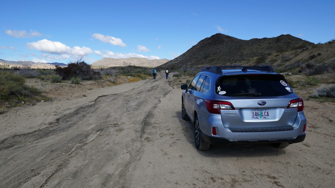
From California Hwy 247 we turned west onto Honda Street and drove 1 mile on pavement to an unsigned entrance into the Sand to Snow National Monument... where we continued another mile on a dirt road... then parked on the side of the road.
|
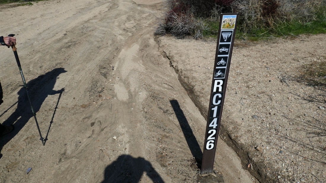
After parking we started hiking west on Road RC1426.
|
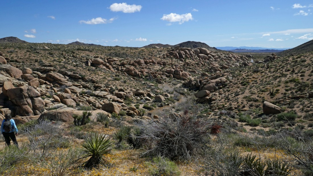
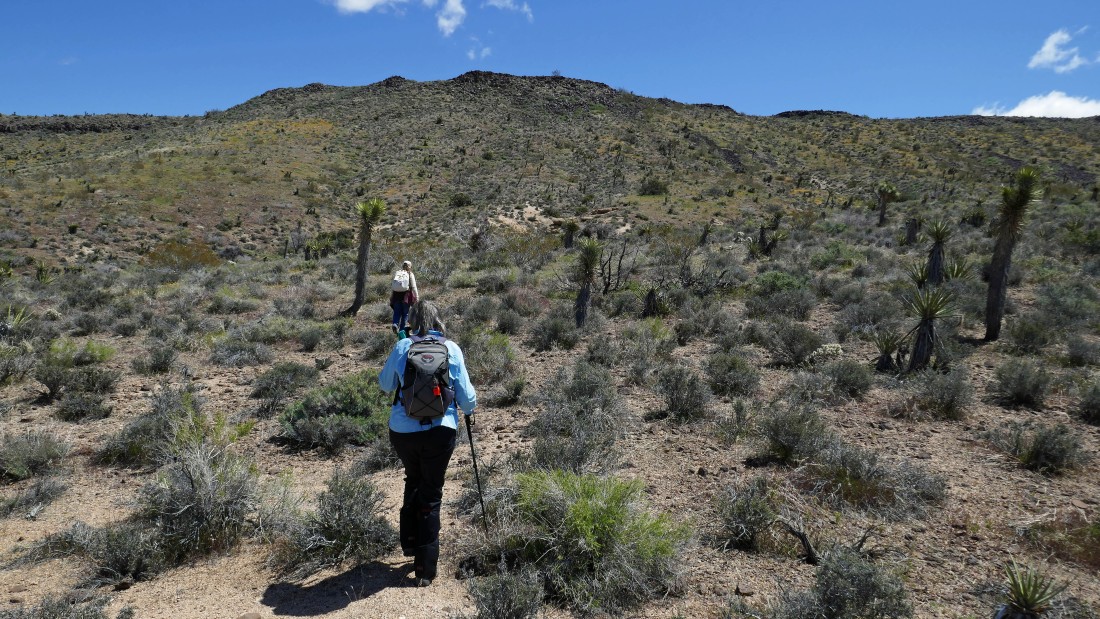
Continuing west on Road RC1426... heading for those interesting rock formations out there in the distance... pretty obvious that this road was a river earlier in the week.
|
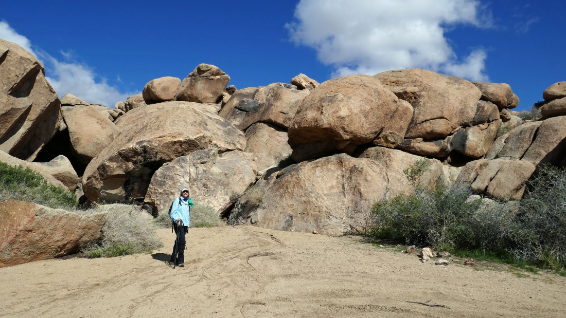
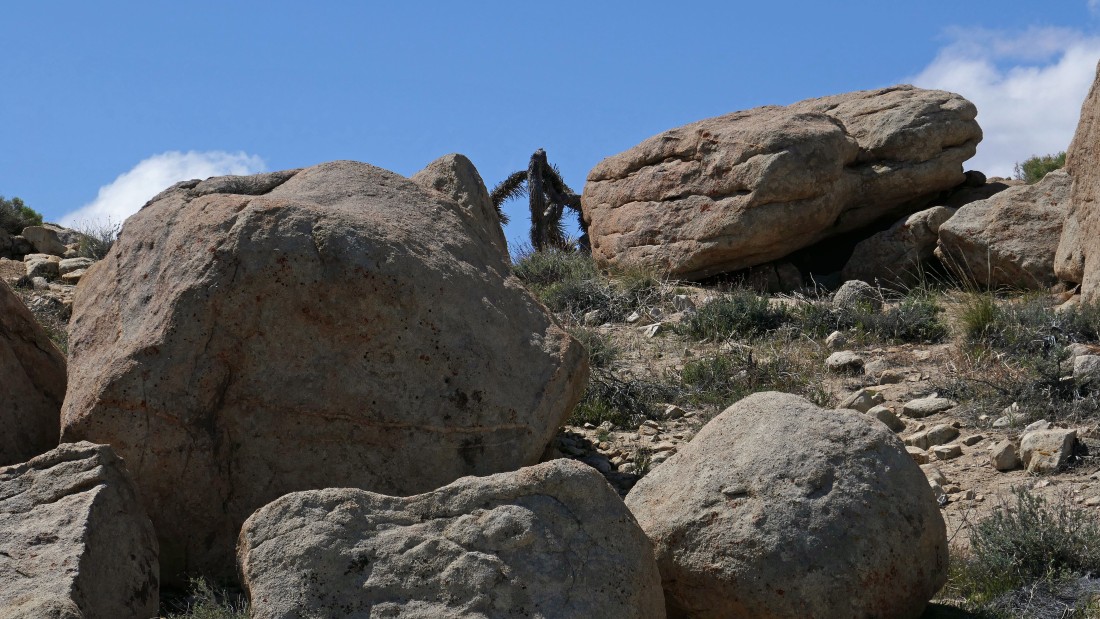
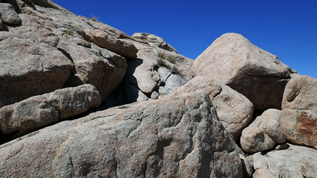
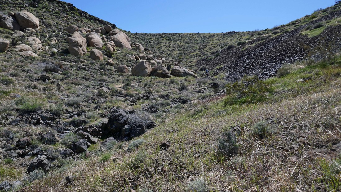
After hiking a mile or so Denali Girl called us over to take a look at the shaded area between the rocks in the center of the photo.
|
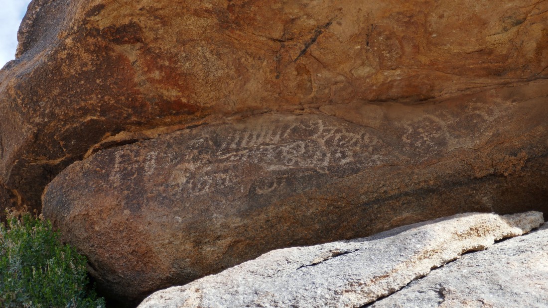
Lots of petroglyphs in the rocks.
|
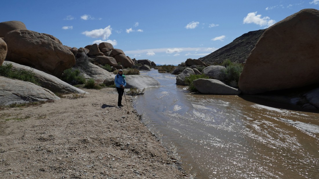
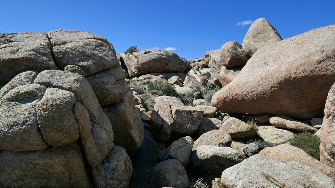
After hiking a little over a mile... Road RC1426 has become a river.
|
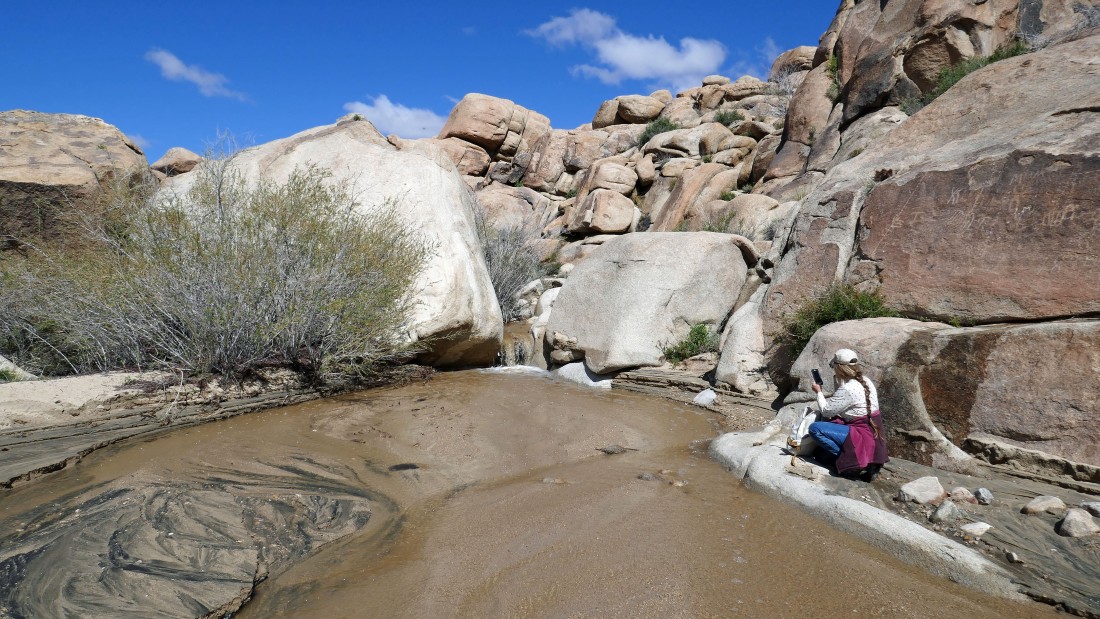
Hiking the river road Star Dancer knelt down to take a photo of the little waterfall in the road... not realizing that there were some marks in the rocks just above her.
|
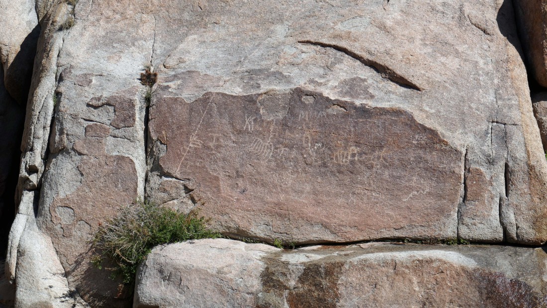
More petroglyphs.
|
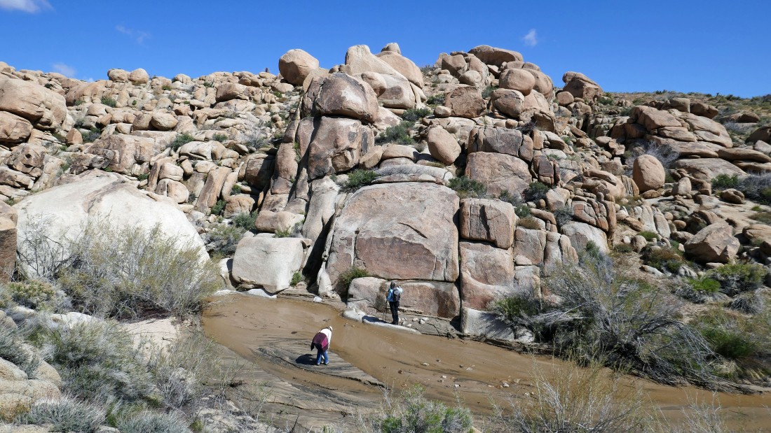
Star Dancer and Denali Girl are down below looking at the petroglyphs... time to leave the river road and find some higher ground.
|
On higher ground now... looking back down the river road route that got us up here.
|
|
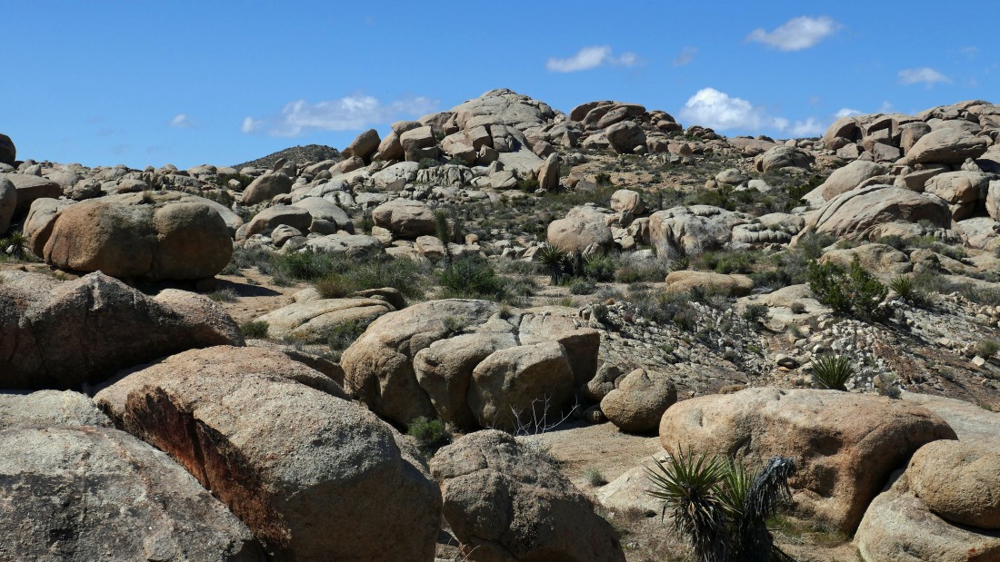
Looking SW at more interesting rock formations... with part of Black Lava Butte on the far left.
|
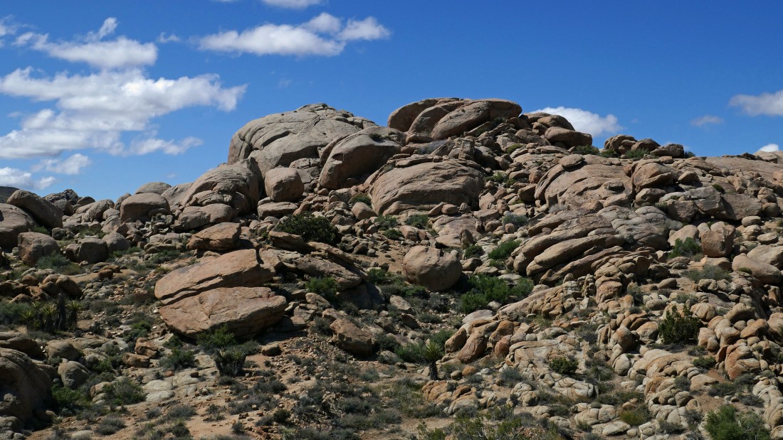
Heading SW into the rock formations.
|
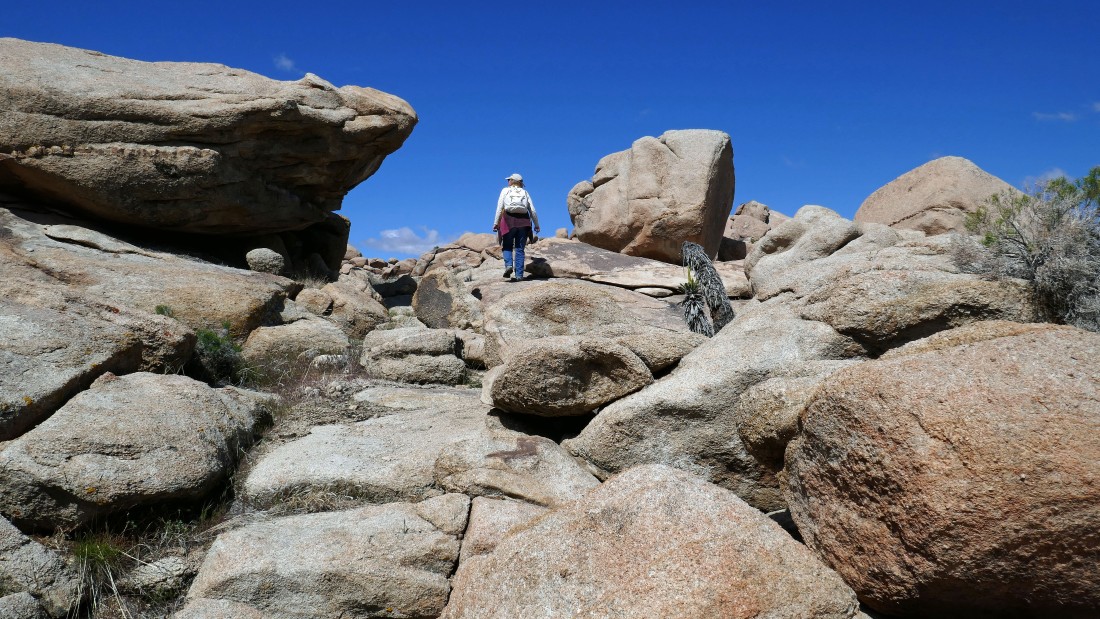
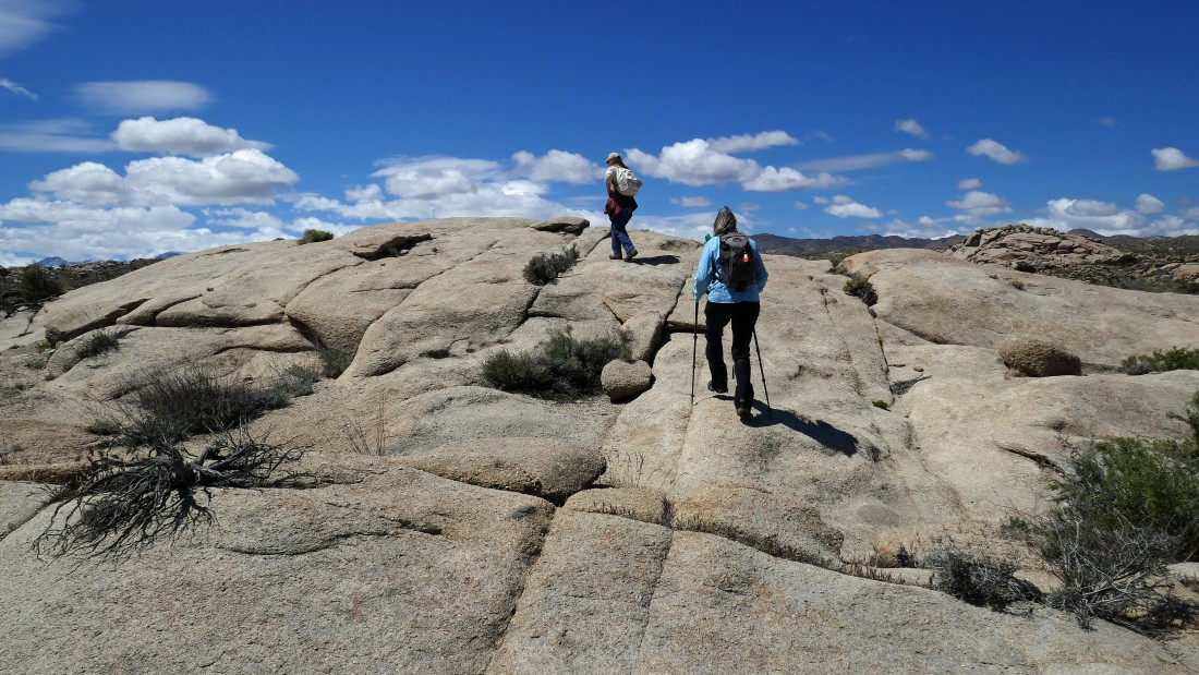
Star Dancer leads us into the interesting rock formations.
|
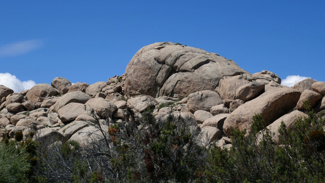
That dome like rock formation in the center of the photo caught my attention... and I want to give it a try... so, let's go!
|
A pano shot showing Black Lava Butte on the left and that dome like rock formation on the center horizon of the photo.
|
At first sight I thought Bigfoot was watching us... but it turned out to be a dead Joshua Tree.
|
Denali Girl explores a nice rock ramp.
|
Getting closer to the dome of interest in the left-center of the photo.
|
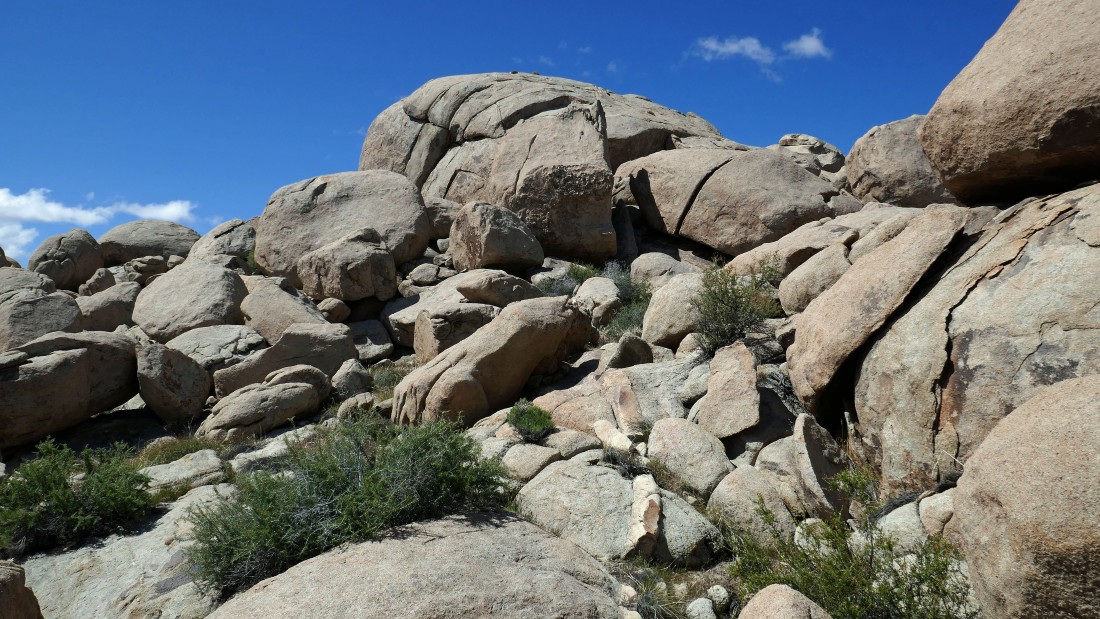
Almost at the base of the dome.
|
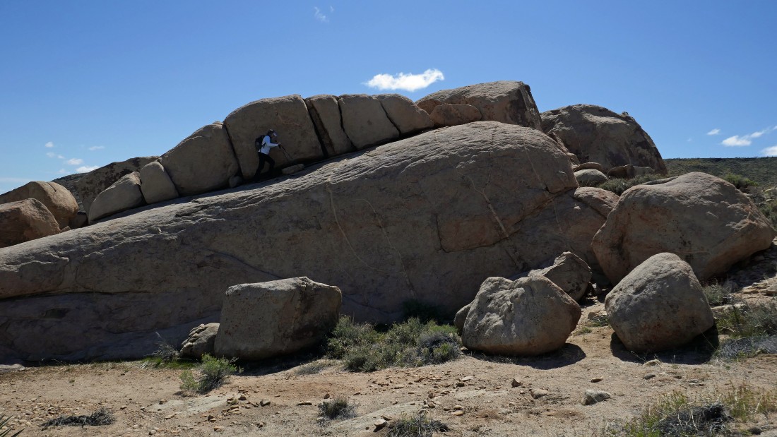
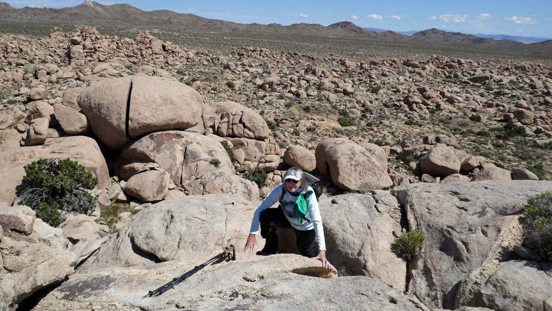
Looks like I have found a route up to the top of the dome.
|
Denali Girl scrambles up the dome.
|
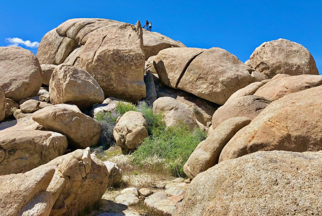
Star Dancer took this photo of Denali Girl and I near the top of the dome.
|
After hiking 2 miles Denali Girl is on the summit of the dome... the summit pool is much bigger than a bird bath... Black Lava Butte is on the right.
|
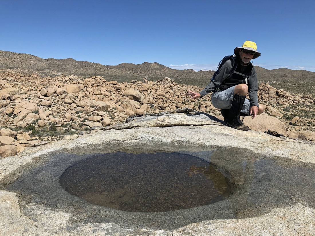
Denali Girl took this photo of me getting ready to take a bath.
|
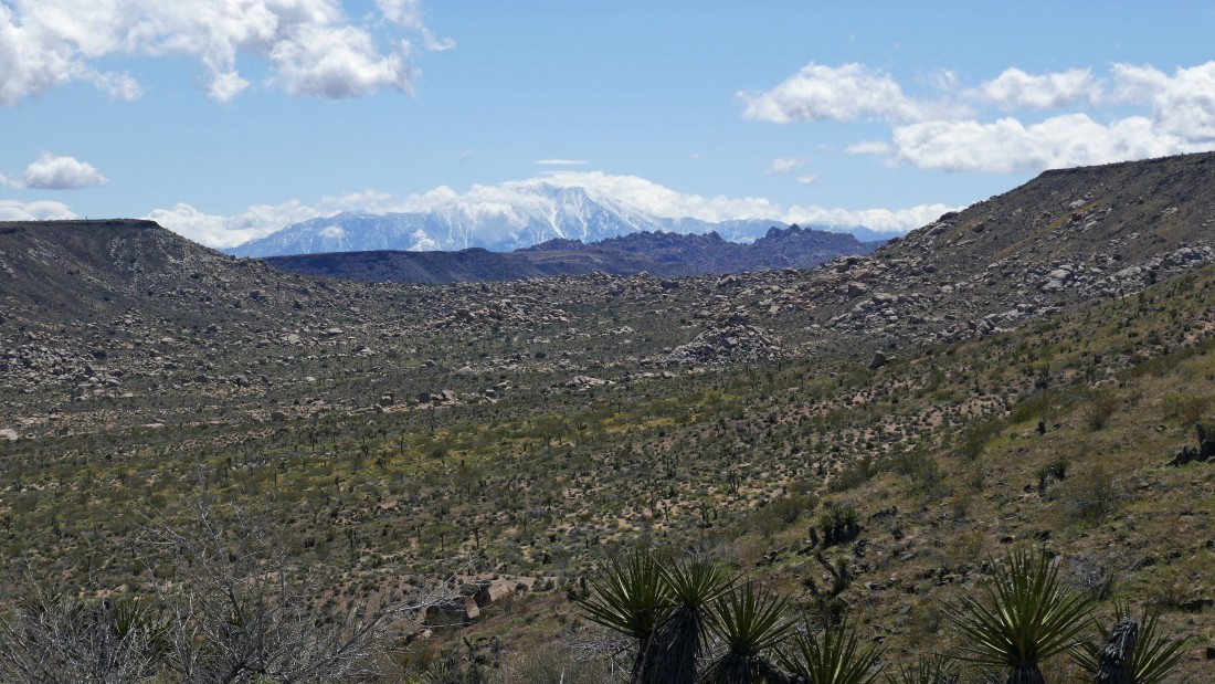
From the summit of the dome I am looking SW to the snow covered mountains in the San Gorgonio Wilderness... after all, we are in the Sand to Snow National Monument.
|
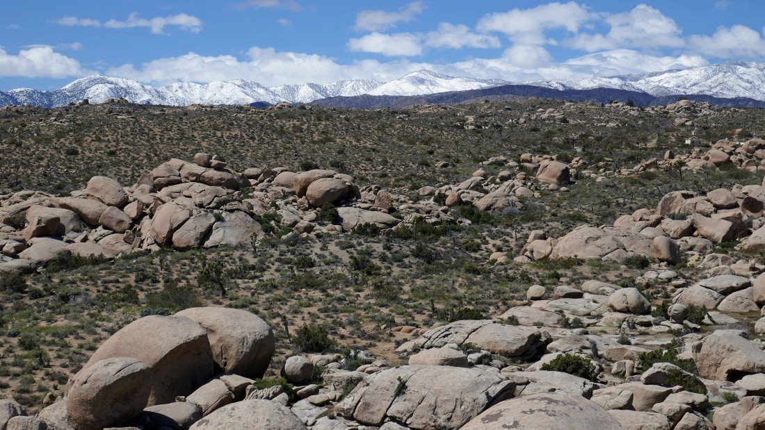
A closer look at the snow covered mountains of the San Gorgonio Wilderness.
|
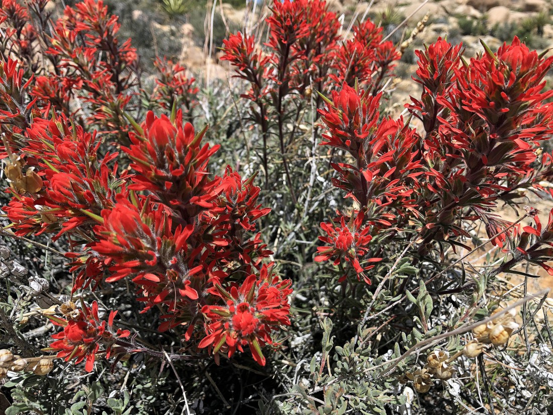
Denali Girl's photo of Indian Paintbrush... none of us expected to see this here.
|
We are heading for Black Lava Butte now... here looking back at our dome.
|
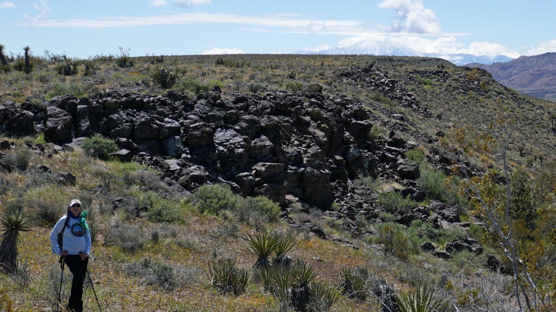
Taking a lunch break before going up to Black Lava Butte.
|
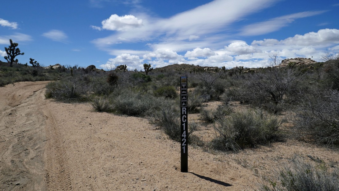
Heading south on Road RC1421... we will hike it for a half-mile or so before heading up to Black Lava Butte.
|
We have left Road RC1421... deciding to hike up on top of these smooth rocks.
|
Looking back down Road RC1421 toward the rocks that housed our dome.
|
Now heading east toward Black Lava Butte.
|
After hiking 3.2 miles we are standing on Black Lava Butte.
|
Denali Girl on Black Lava Butte... with the San Jacinto Mountains in the distance on the right.
|
|
The terrain on top of Black Lava Butte is flatter than a pancake.
|
I'm on the east side of Black Lava Butte... looking down into the heart of the Sand to Snow National Monument... with the huge Flat Top Butte in the right center of the photo... and the south end of Black Lava Butte sneaking into the photo on the far right.
|
Looking beyond Flat Top Butte to the Little San Bernardino Mountains on the horizon... home of a good portion of Joshua Tree National Park.
|
Now hiking NE on Black Lava Butte... looking back at the snow covered peaks of the San Gorgonio Wilderness.
|
Hiking NE on Black Lava Butte... looking for a place to get back down to the desert floor.
|
A close up... looking across the heart of the Sand to Snow National Monument... Flat Top Butte in the far left foreground... Black Lava Butte in the far right foreground... and the San Jacinto Mountains on the center horizon.
|
After hiking a total of 5 miles it is time to leave Black Lava Butte and head down to the desert floor.
|
Coming down from Black Lava Butte.
|
After hiking 5.4 miles we have reached the desert floor... Black Lava Butte dominates the photo.
|
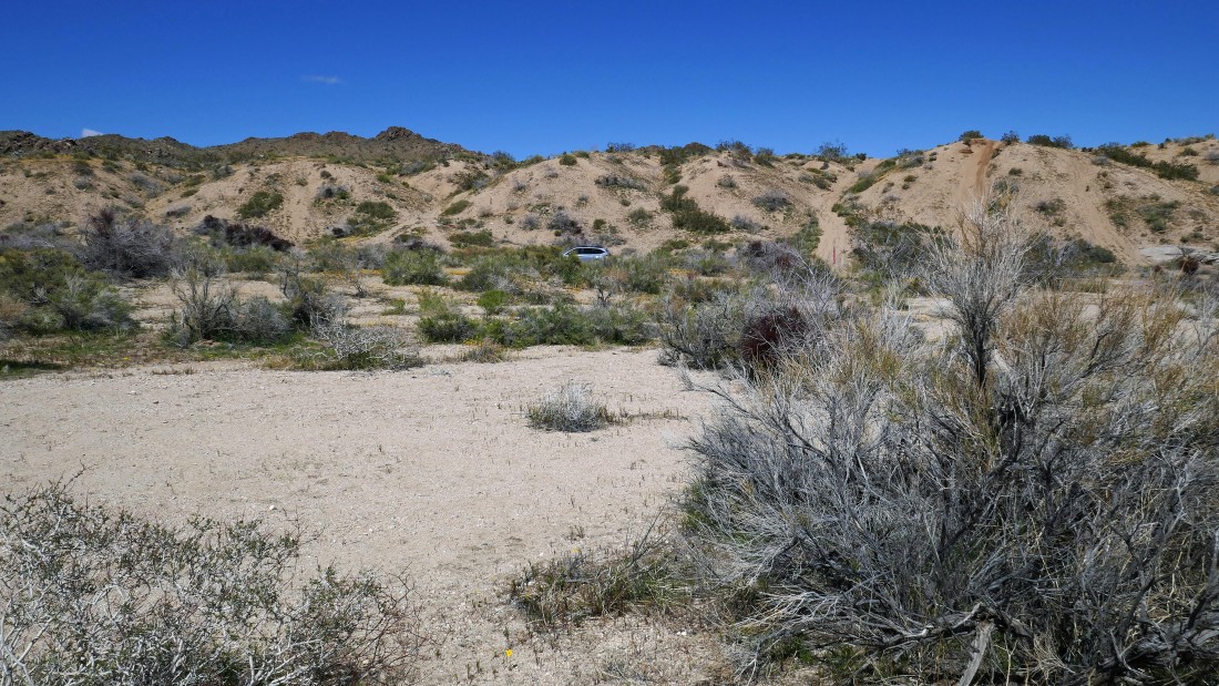
The car is a stone's throw away... the hike was 5.7 miles, gaining 930 feet of elevation.
|
