Black Lava Butte - 4.17.2020
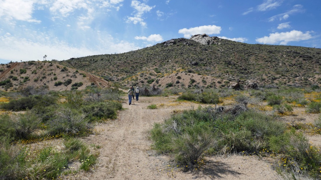
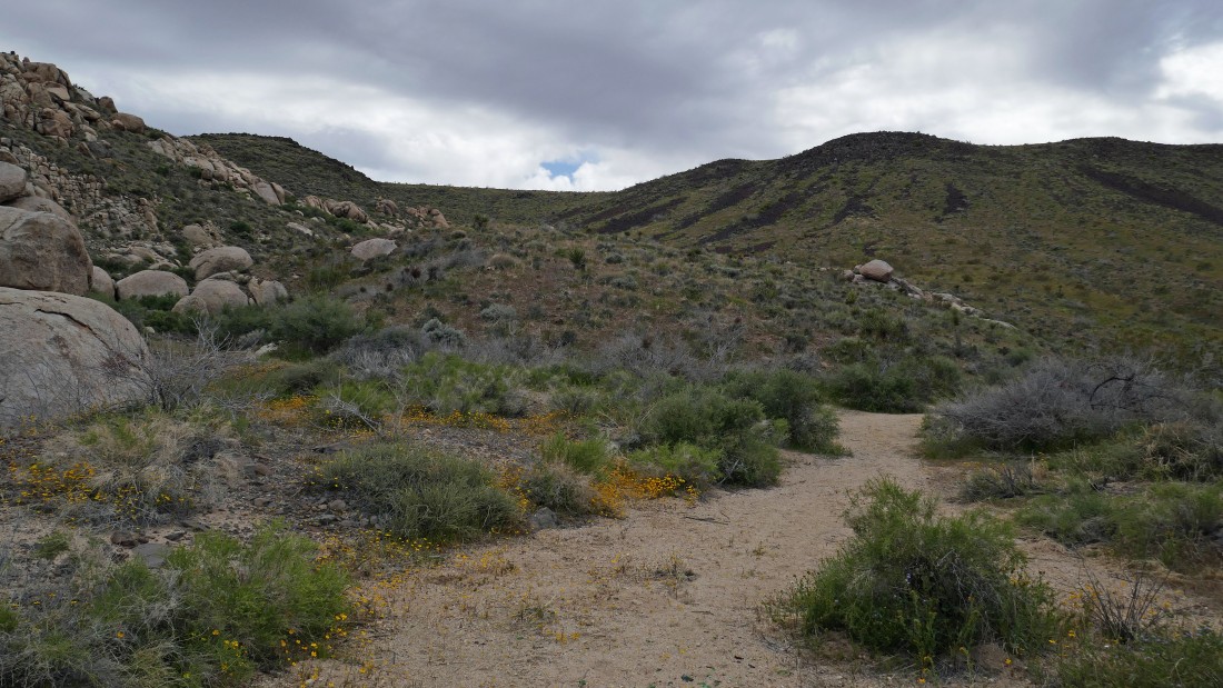
From California Hwy 247 we turned west onto Hondo Street and drove 1 mile on pavement to an unsigned entrance into the Sand to Snow National Monument... where we continued another mile on a dirt road... then parked on the side of the road... and started hiking south toward Point 3972 in the center of the photo.
|
The ladies went on up to Point 3972 while I traversed around it and headed for the canyon between Flat Top Butte and Black Lava Butte.
|
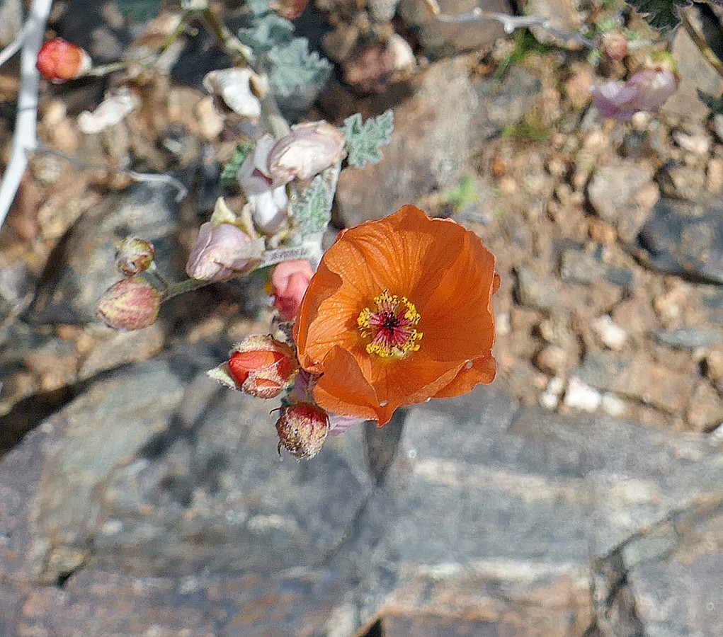
Desert Mallow.
|
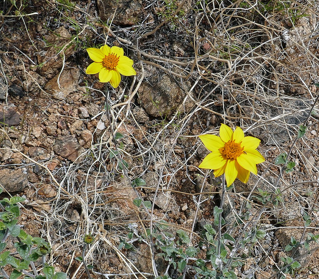
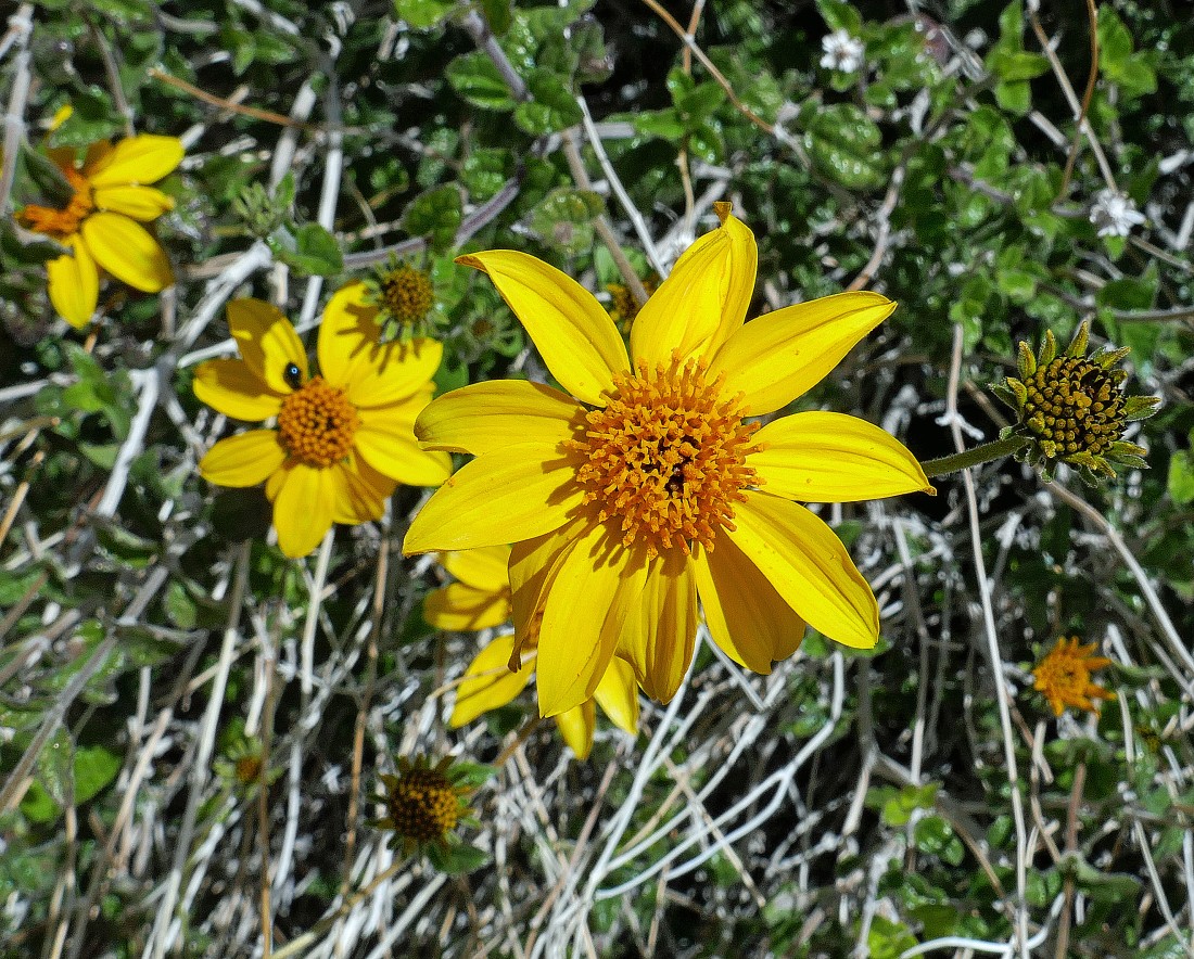
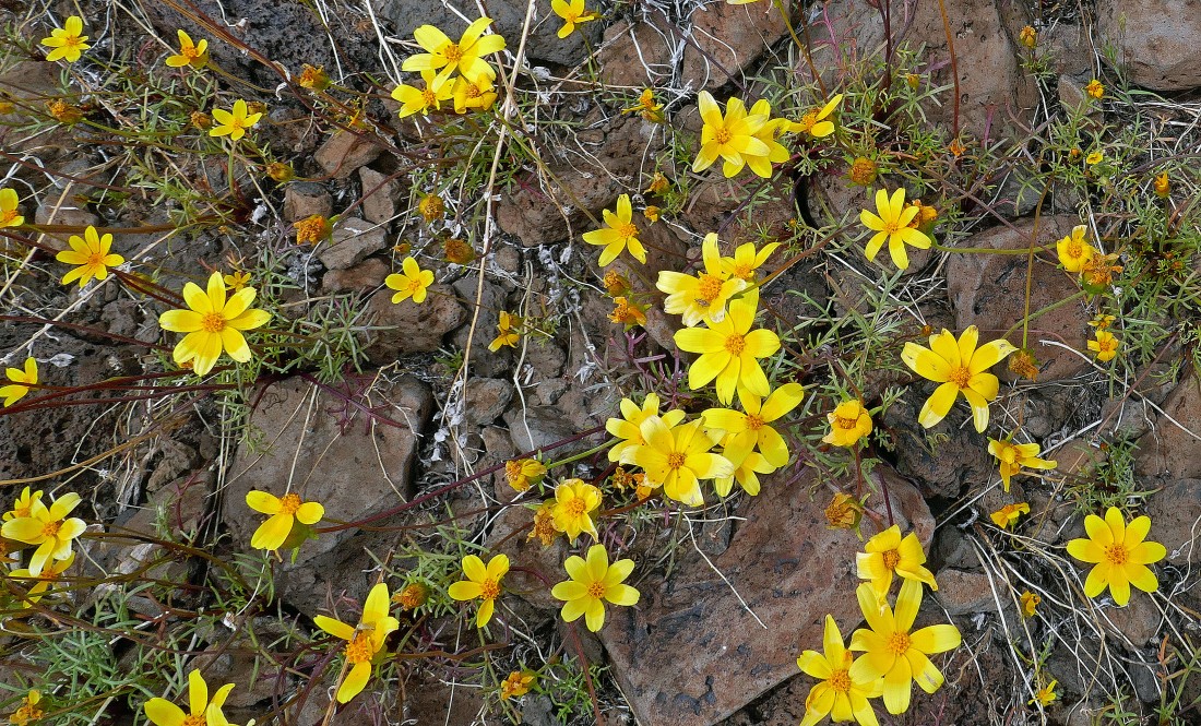
Sunflower.
|
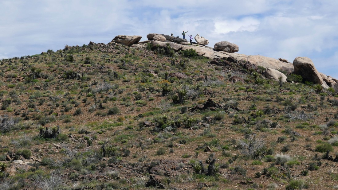
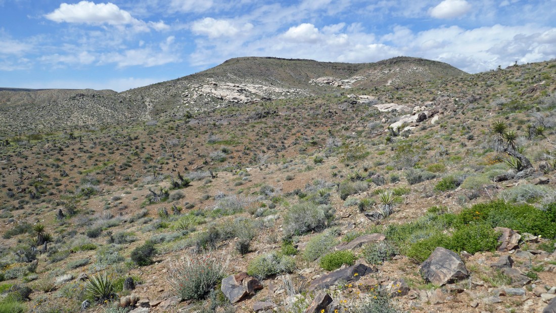
Star Dancer, Denali Girl and Golden Eagle on top of Point 3972... I won't see them again for several hours.
|
I will cross over those rocks on my way to the canyon between Flat Top Butte and Black Lava Butte.
|
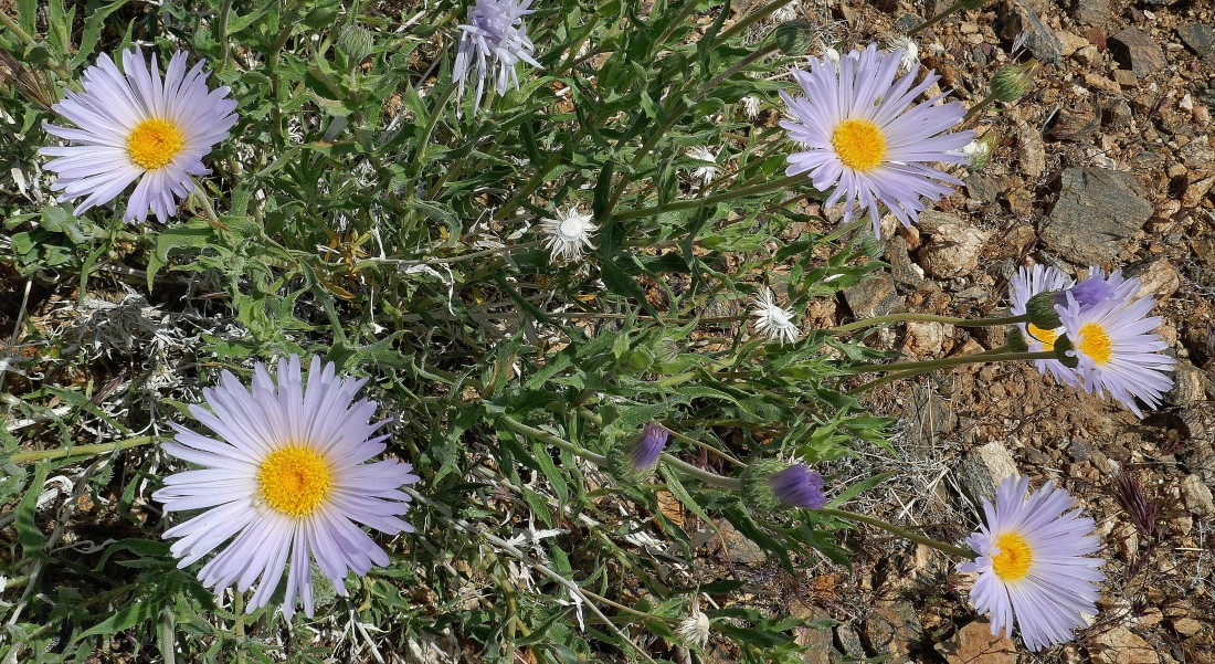
Mojave Asters.
|
More sunflowers.
|
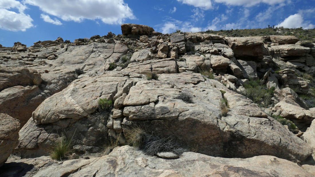
Crossing over those interesting rocks.
|
Looking back.
|
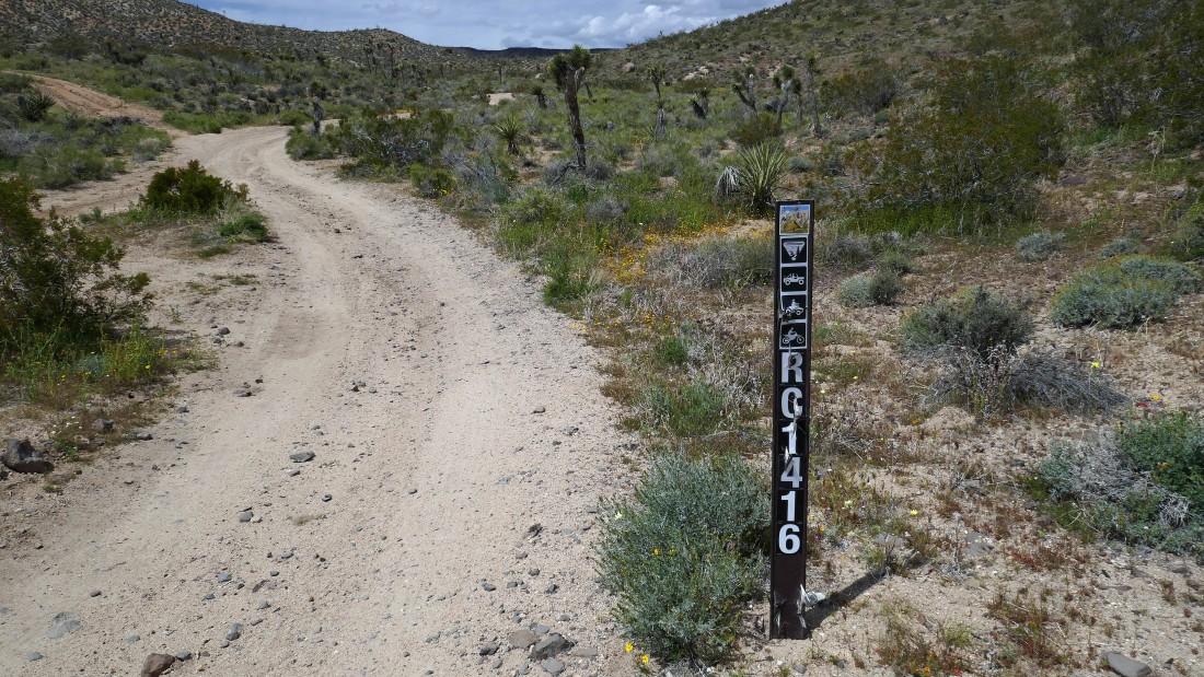
After hiking a total of .9 miles I have dropped down to Road RC1416... I will follow it up the canyon.
|
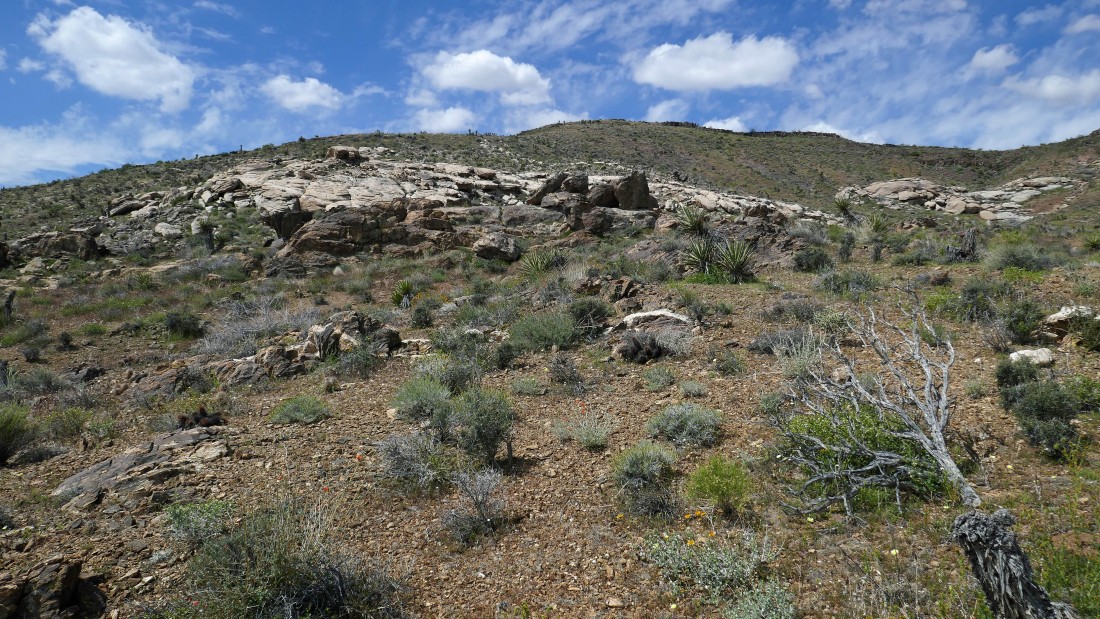
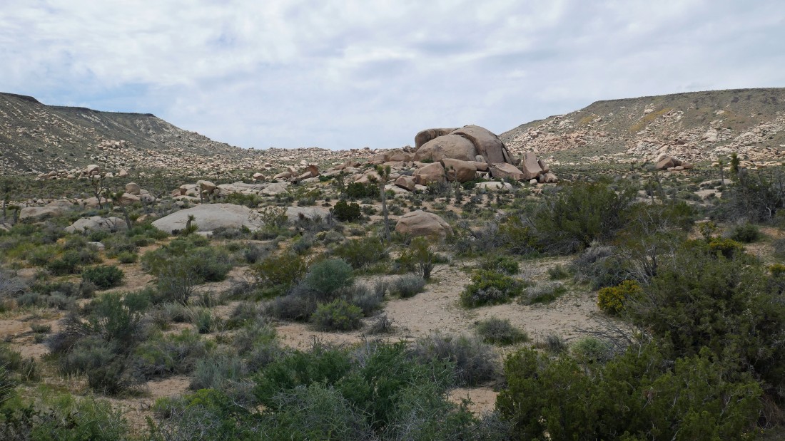
Following Road RC1416 southwest... heading for the rocks in the gap up there in the center of the photo... Flat Top Butte on the left... and Black Lava Butte on the right.
|
Heading for the rocks between the two buttes.
|
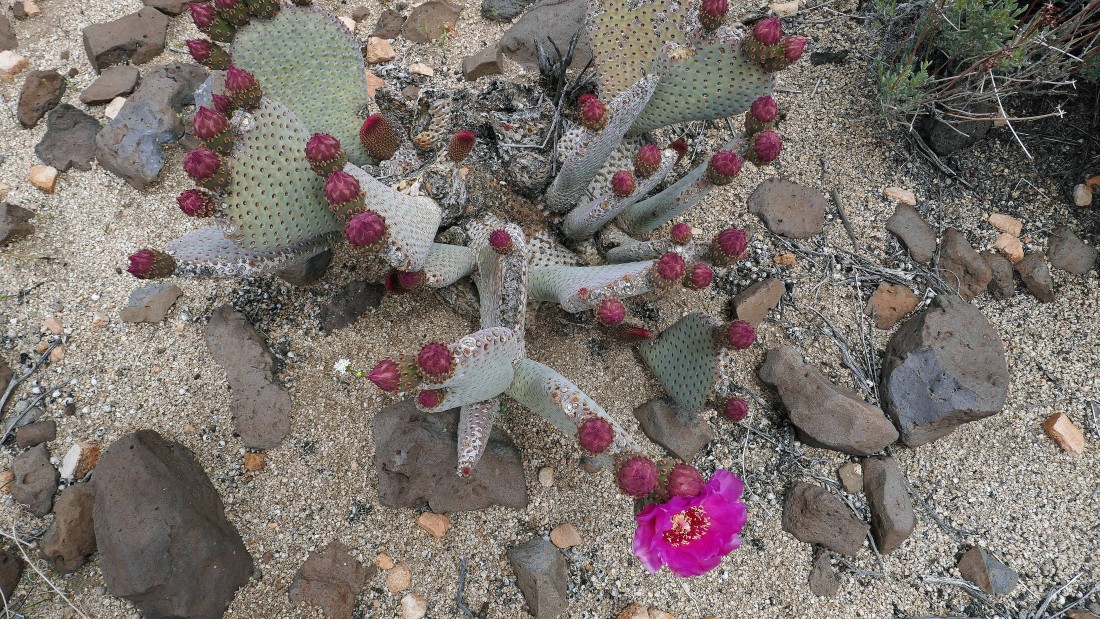
A beavertail cactus... getting ready to explode!
|
After hiking a total of 2.9 miles I have reached the end of Road RC1416.
|
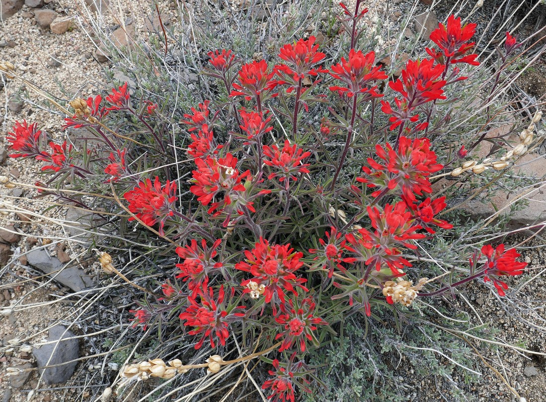
Indian Paintbrush.
|
Heading for what looks like a fence of rocks... stretching from Flat Top Butte on the left to Black Lava Butte just out of the photo on the right.
|
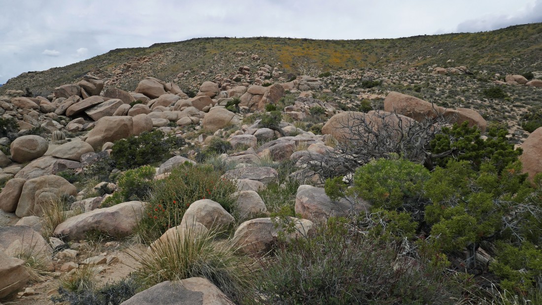
I have reached the fence of rocks... now I will follow the fence to the west as I hike up to the top of Black Lava Butte.
|
On my way up Black Lava Butte... looking back at the massive Flat Top Butte.
|
Looking back down my route in the canyon between Black Lava Butte on the left and Flat Top Butte on the right.
|
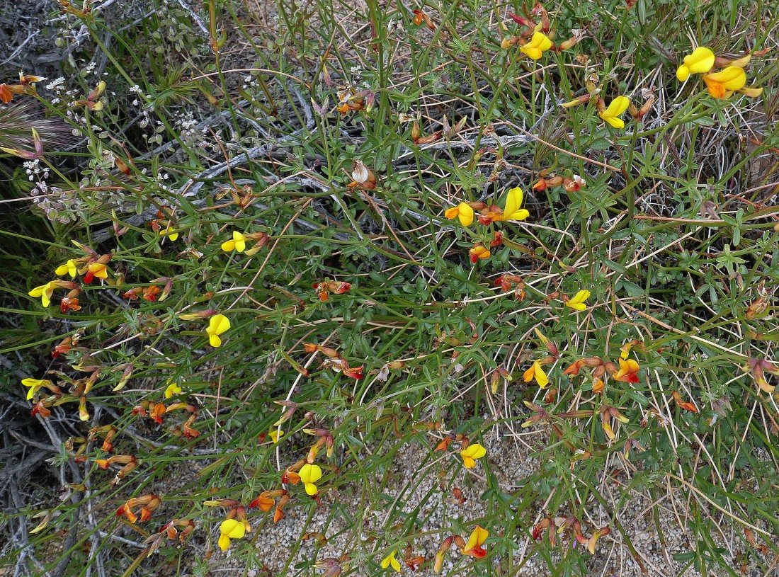
Desert Rock-pea.
|
Almost up to the top of Black Lava Butte.
|
Looking back at my route between the two buttes.
|
I have reached the top of Black Lava Butte... here looking down at the rock fence between the two buttes on the left... and down into Pipes Canyon in the right center of the photo.
|
Sunflowers.
|
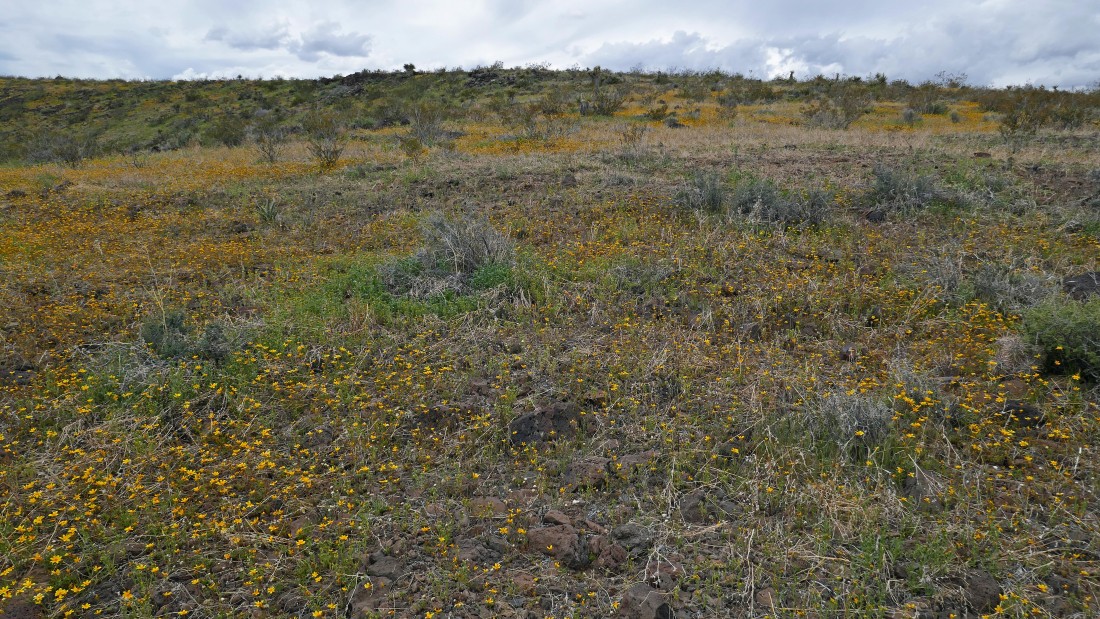
Tons of sunflowers on Black Lava Butte... I will hike south on the butte until I reach Point 4700... the high point on the butte.
|
Hiking south on Black Lava Butte.
|
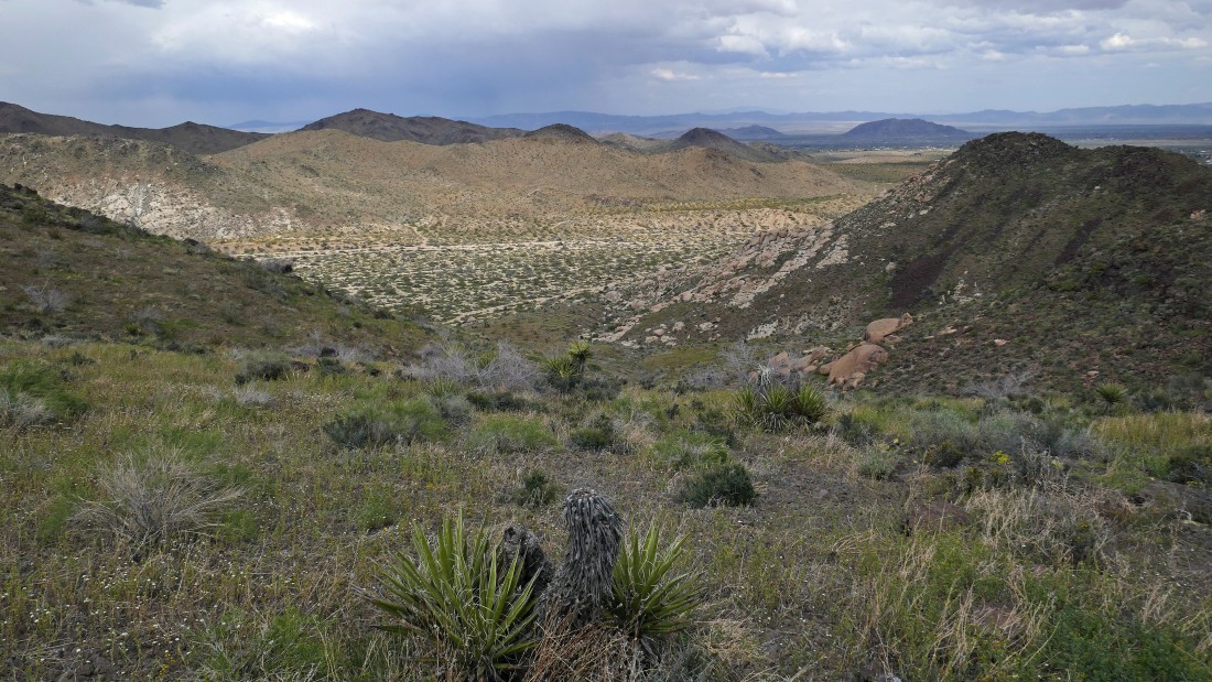
After hiking a total of 4 miles I have reached Point 4700 on Black Lava Butte... looking east at Flat Top Butte on the left... and across Pipes Canyon on the right.
|
Looking across Pipes Canyon.
|
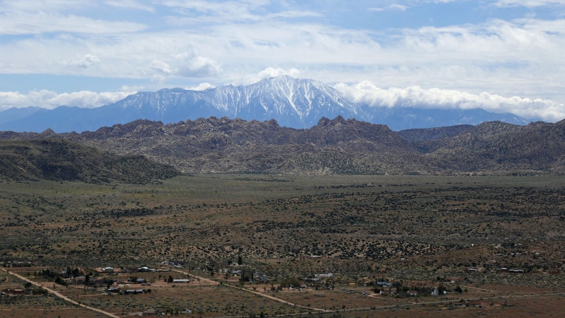
A close up looking across Pipes Canyon to the Sawtooths in the foreground... with the San Jacinto Mountains on the horizon.
|
|
Now I have turned around and will stay up on Black Lava Butte as I follow it most of the way back to the car.
|
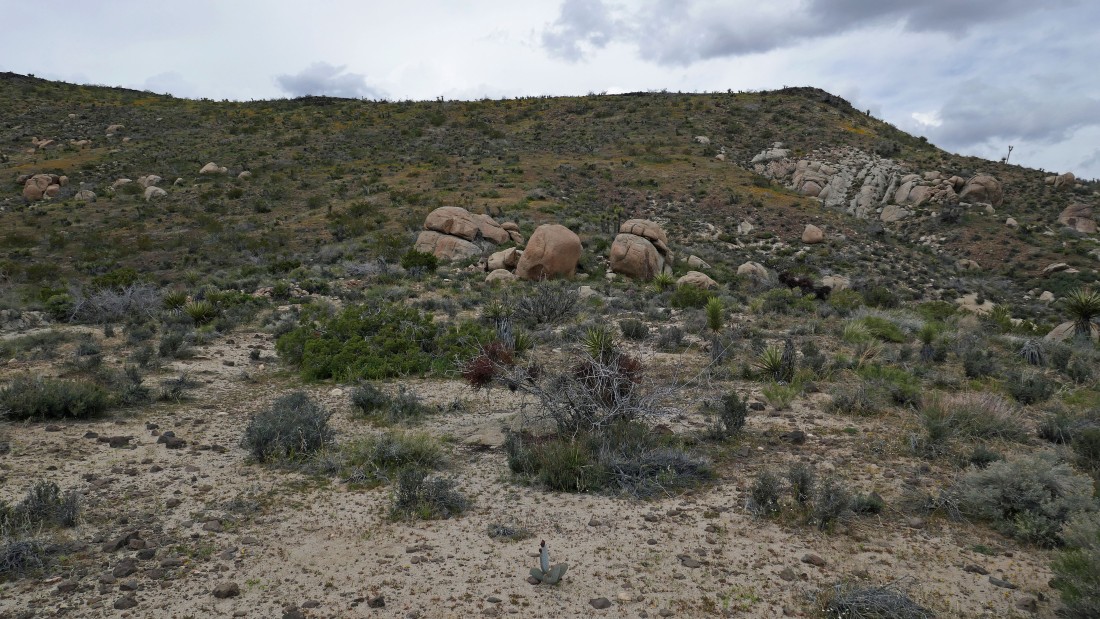
After hiking a total of 6.9 miles it is time to leave Black Lava Butte and go back down to the desert floor.
|
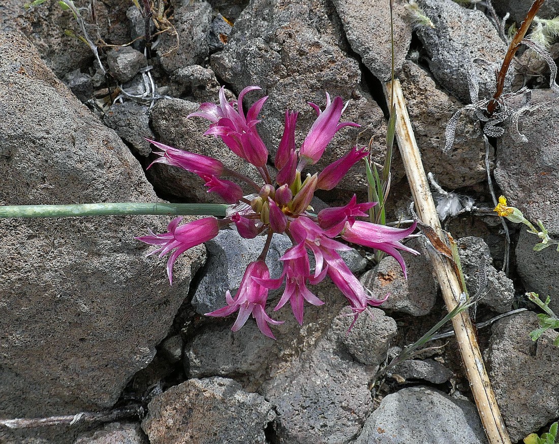
I think it is a Fringed Onion.
|
After hiking a total of 7.3 miles I have reached the desert floor... here looking back at my route down from Black Lava Butte in the center of the photo.
|
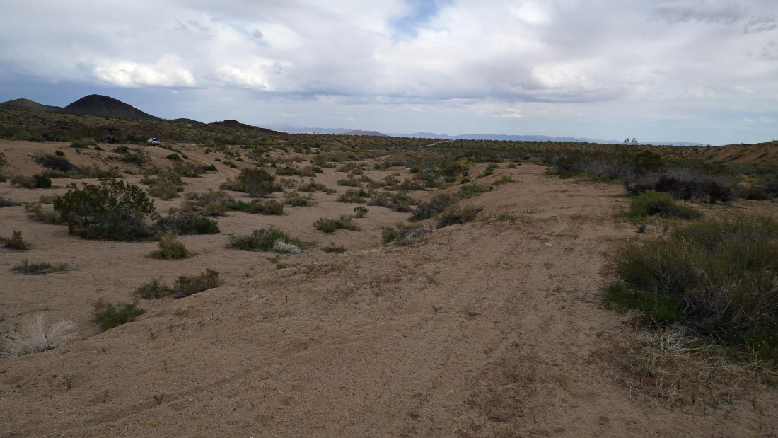
I can see the car... the hike was an 8 mile loop, gaining 1230 feet of elevation.
|
