Horsethief Creek - 4.27.2020
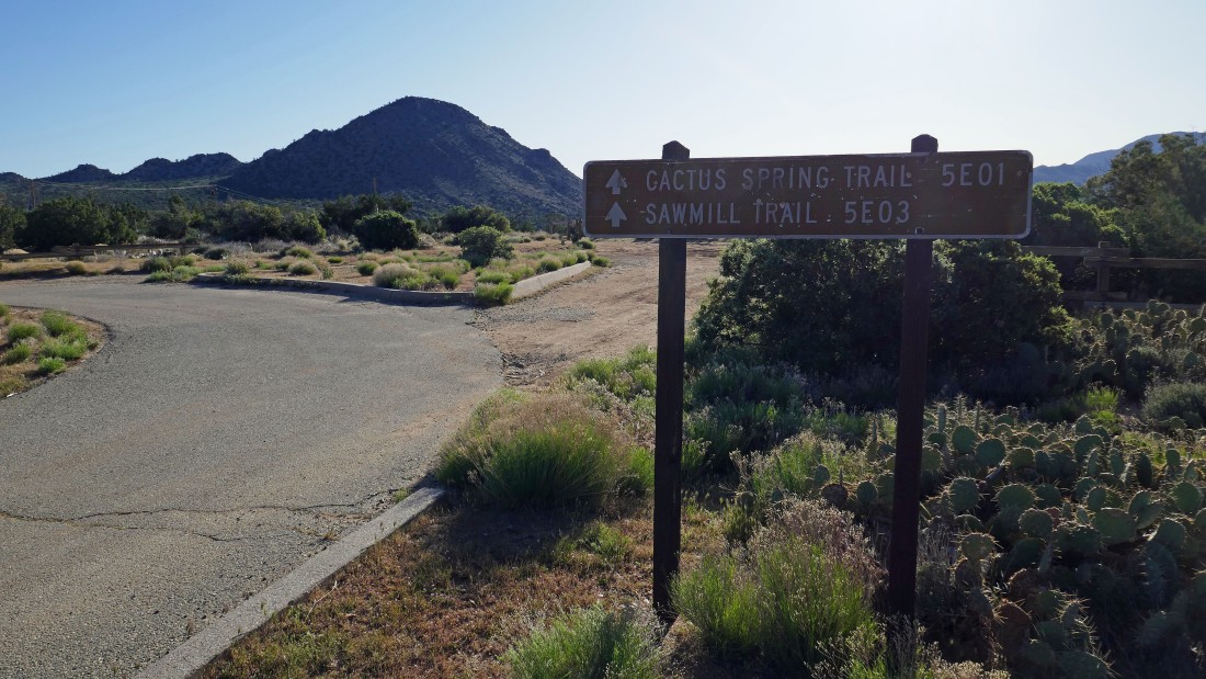
From the Pines to Palms Hwy (aka Calif Hwy 74)... turn south onto Pinon Flats Transfer Station Road... then drive .3 miles and turn left into the large parking area.
|
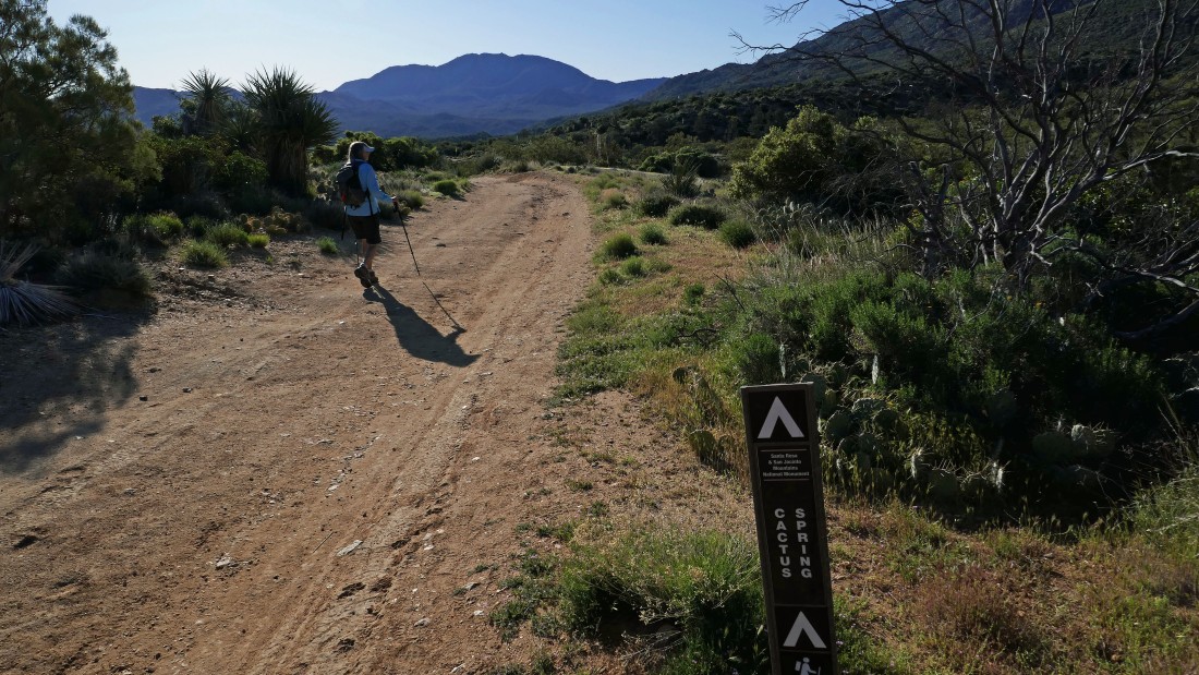
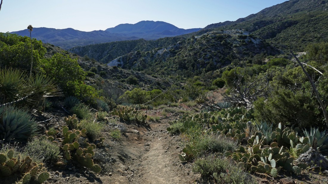
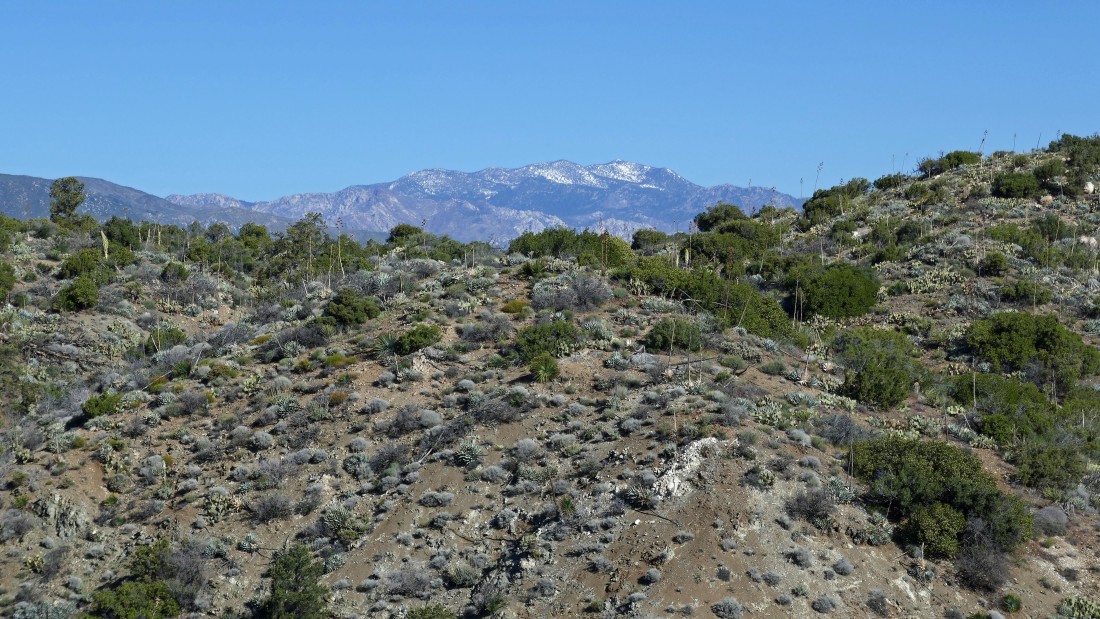
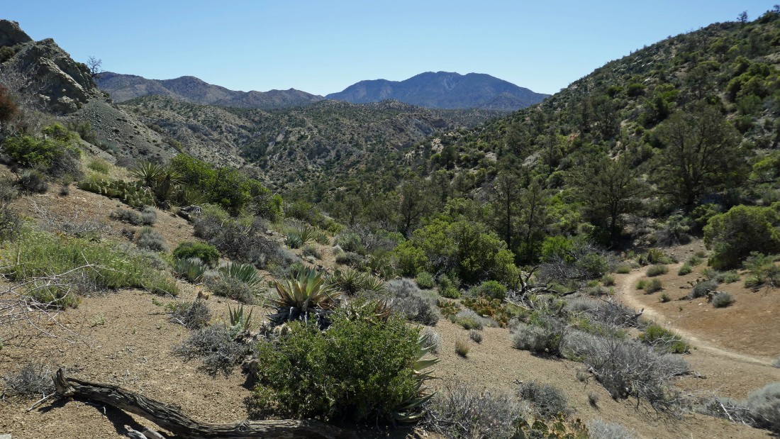
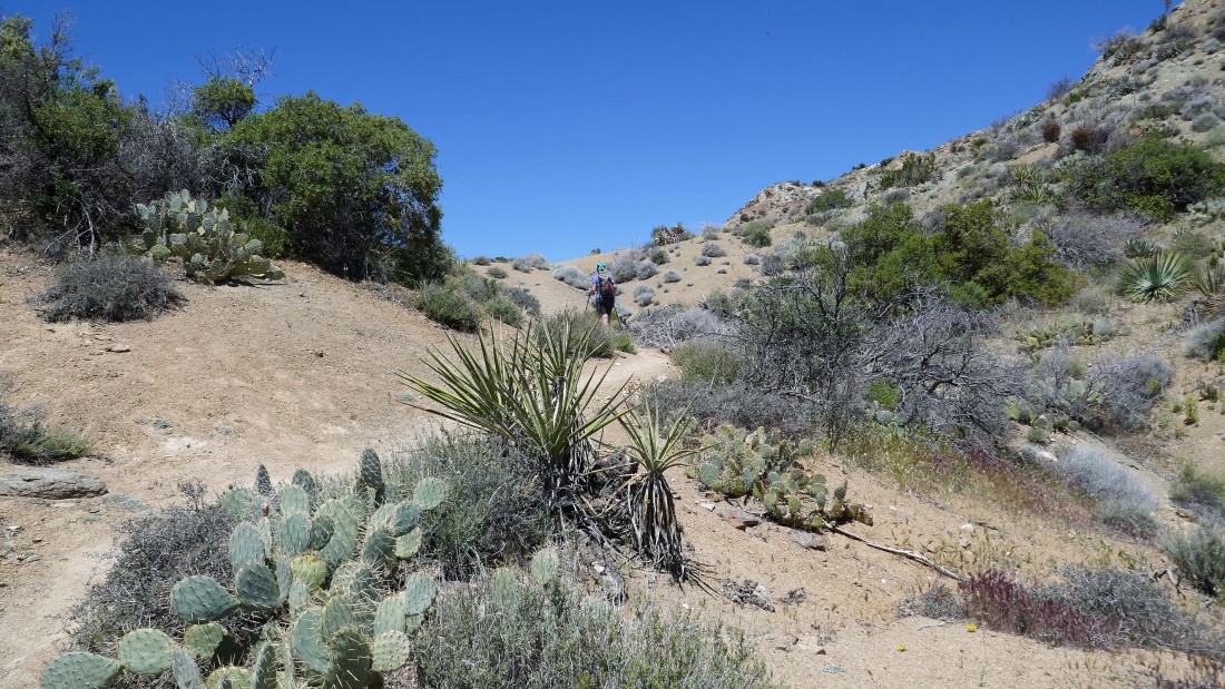
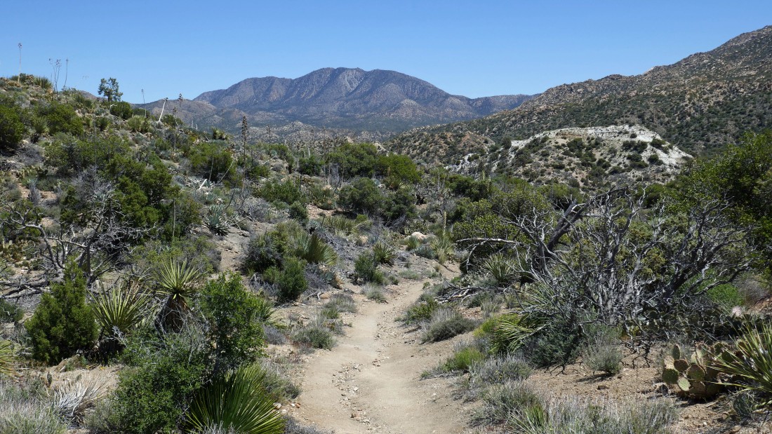
Hiking east on the Cactus Spring Trail... right now we are in the Santa Rosa and San Jacinto Mountains National Monument... heading for the Santa Rosa Wilderness... Martinez Mountain is on the horizon.
|
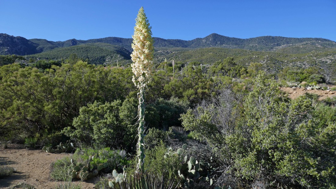
A Yucca cactus... there were a ton of cacti along the appropriately named Cactus Spring Trail.
|
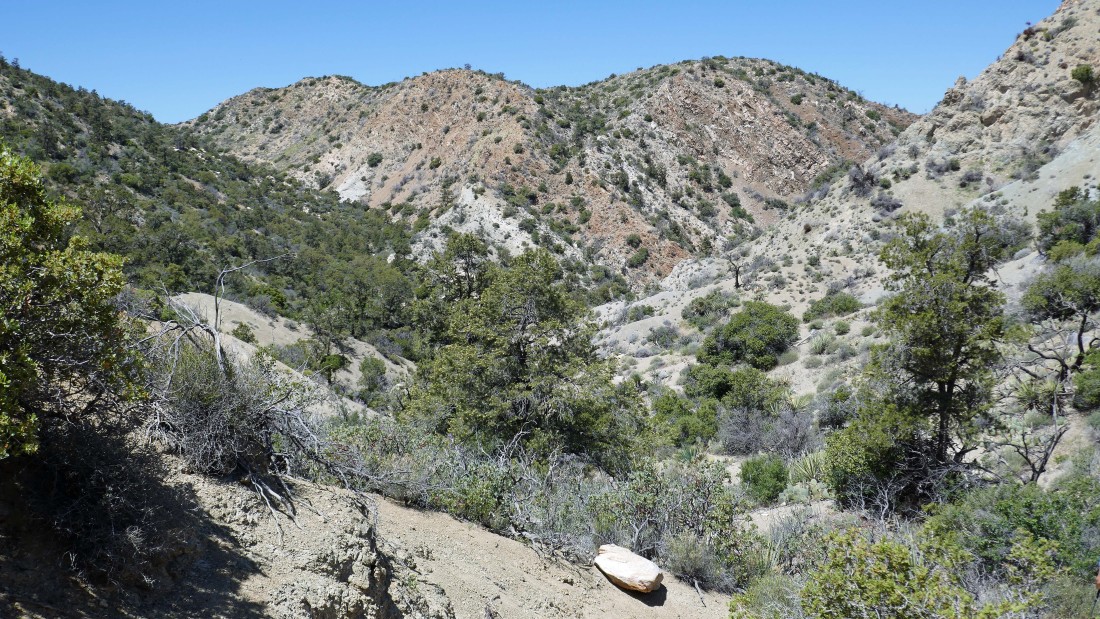
Continuing east on the Cactus Spring Trail... Sugarloaf Mountain is in the left foreground... with Martinez Mountain on the right center horizon.
|
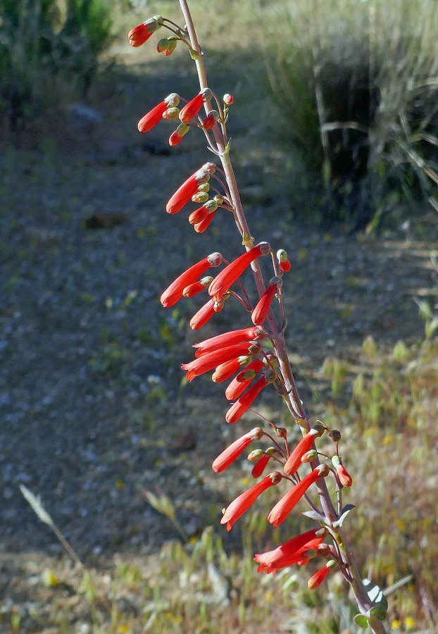
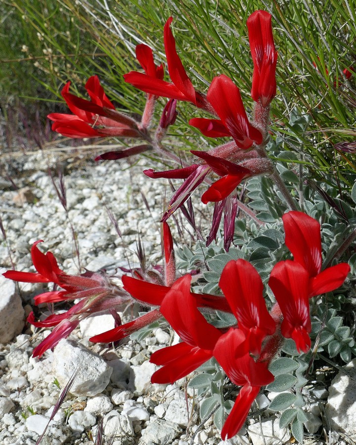
Scarlet Bugler.
|
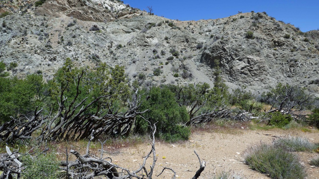
The white terrain in the foreground is an abandoned dolomite mining operation.
|
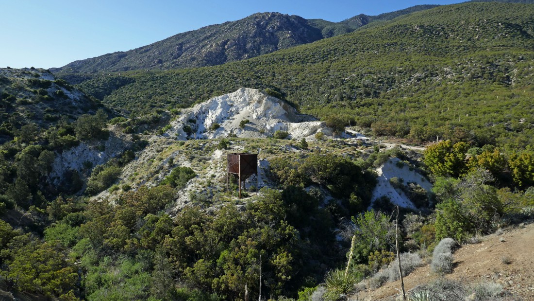
Nearing the first dolomite mine.
|
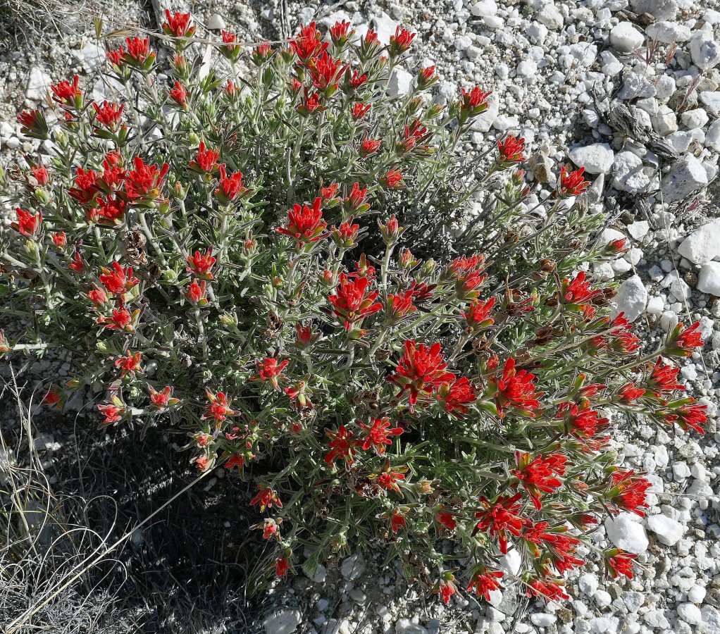
Wavy-leaved Indian Paintbrush.
|
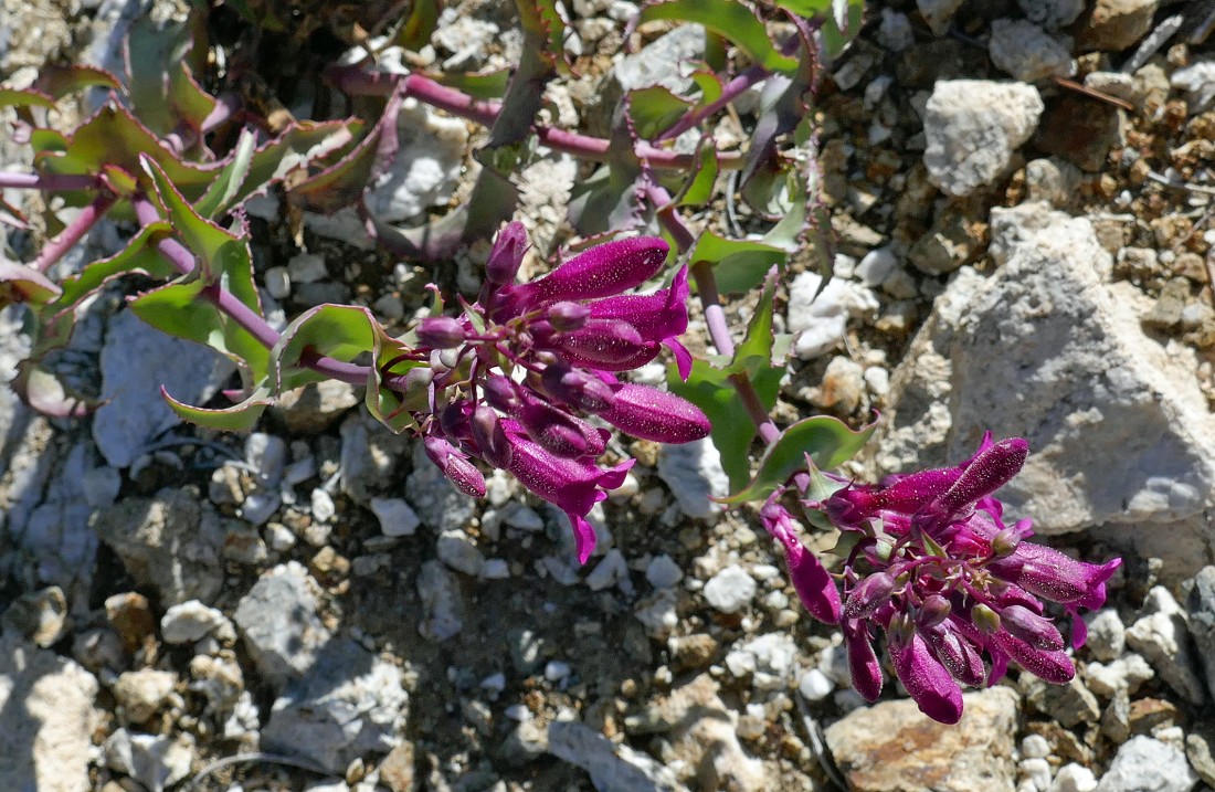
I think it is from the Penstemon family.
|
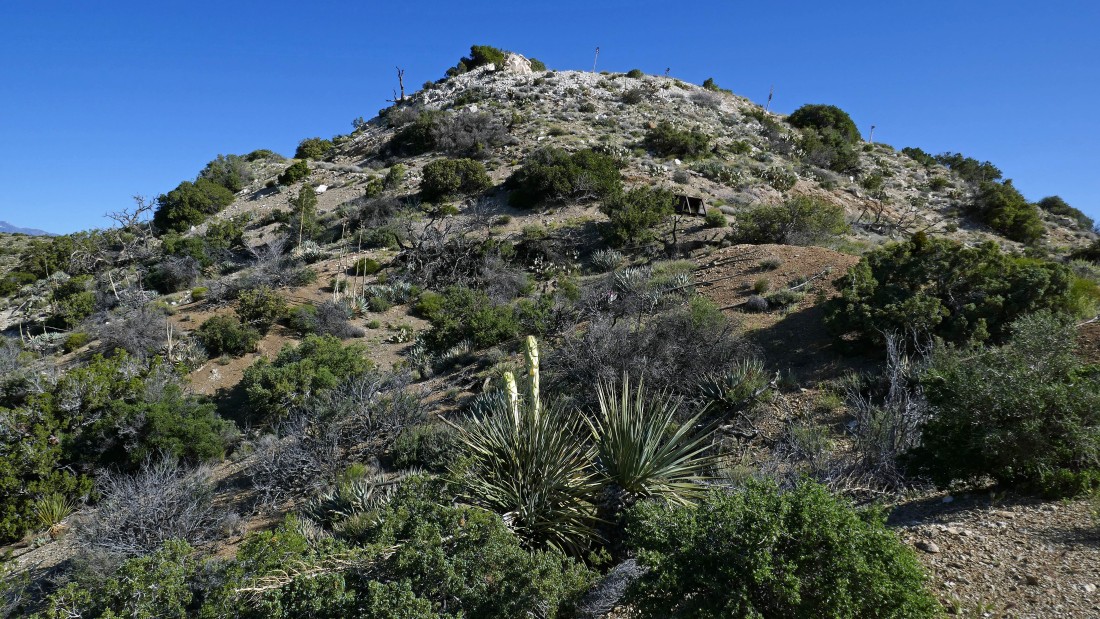
After hiking .7 miles we are standing on top of the first dolomite mine area... looking north at Sugarloaf Mountain in the right foreground... and NW to the San Jacinto Mountains on the left horizon.
|
A closer look at the San Jacinto Mountains.
|
We have left the first dolomite mine and will hike up to the top of the second one.
|
Scarlet Milkvetch... I think.
|
After hiking 1.2 miles we are standing on top of the second dolomite mine area... with Sugarloaf Mountain in the left foreground... and Martinez Mountain on the right horizon.
|
On top of the second dolomite mine... looking back at the first dolomite mine in the left foreground... and the San Jacinto Mountains on the horizon.
|
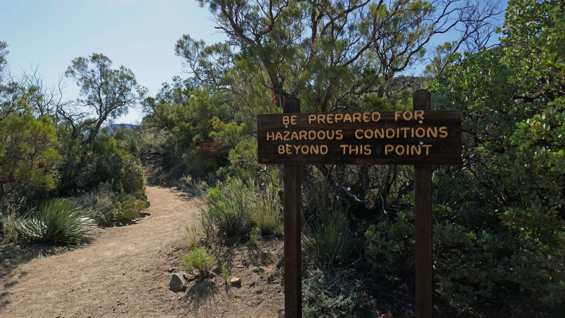
A short distance beyond the second dolomite mine this sign definitely caught our attention.
|
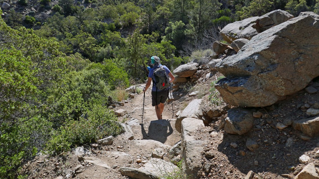
The trail definitely became steeper and a bit more rugged after the sign in the previous photo... however, I think it might only be considered hazardous if it was raining.
|
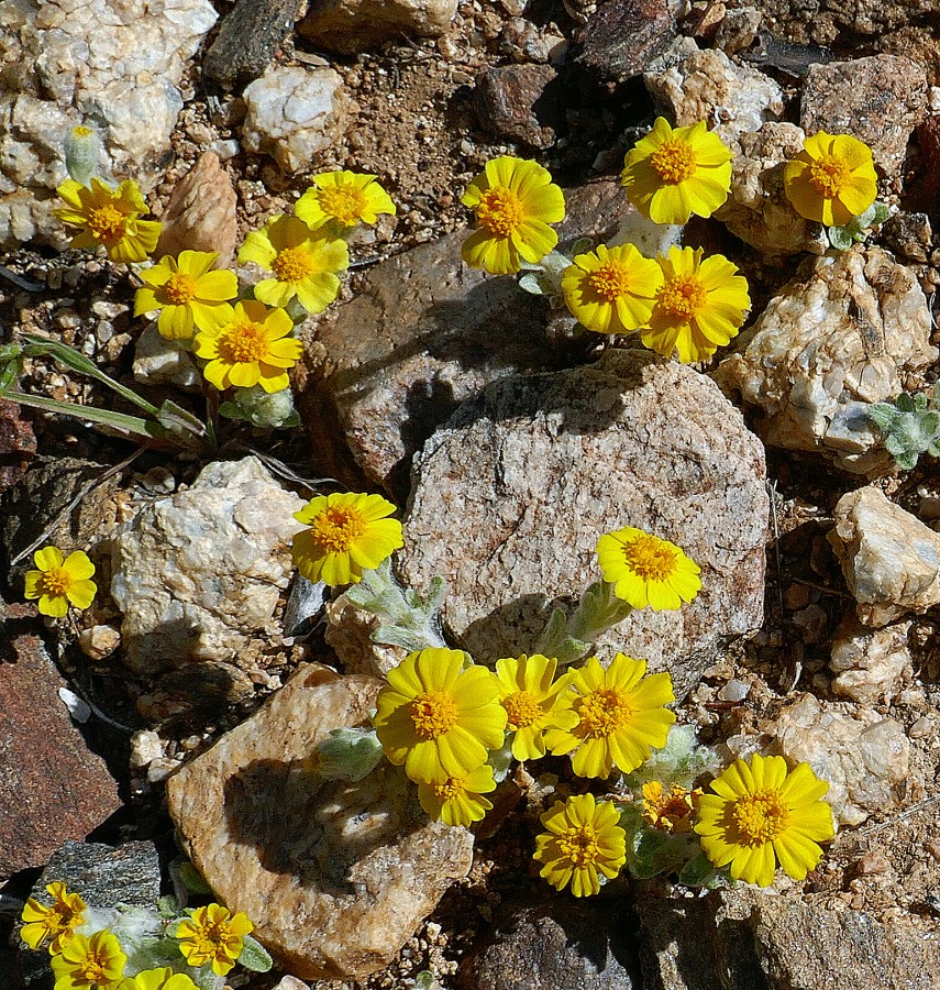
Denali Girl says they are daisies... and who am I to disagree... they were all over the place.
|
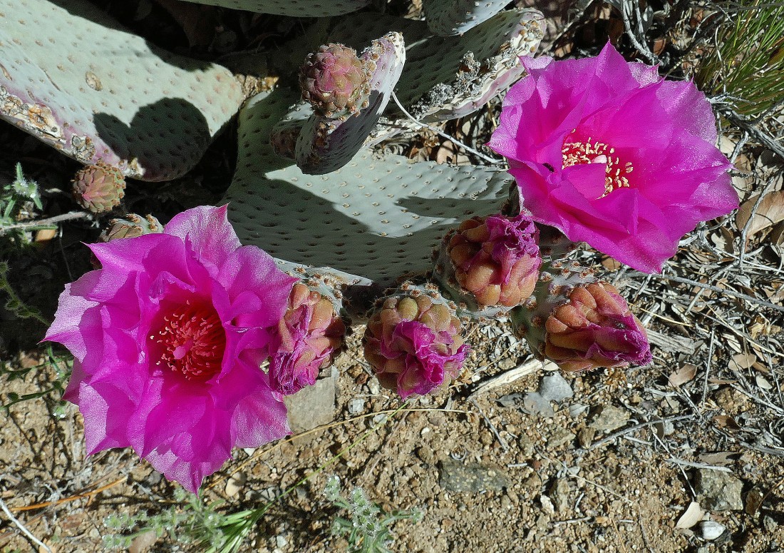
Beavertail Cactus.
|
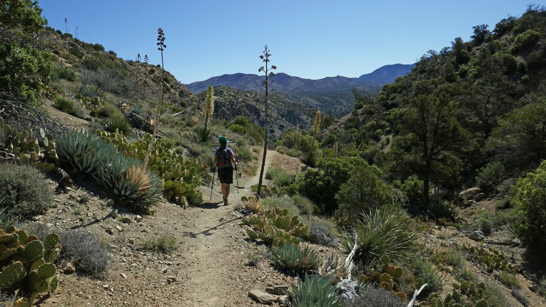
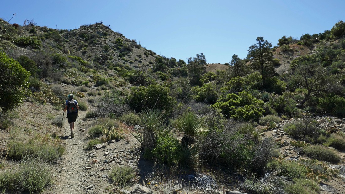
After hiking a total of 1.9 miles we have entered the Santa Rosa Wilderness... as we continue east on the Cactus Spring Trail... there were lots of ups and downs on this trail.
|
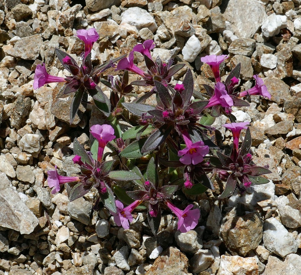
Bigelow Monkey Flower... maybe.
|
Working the ups and downs on the Cactus Spring Trail... looks like a good lunch spot up there at the saddle.
|
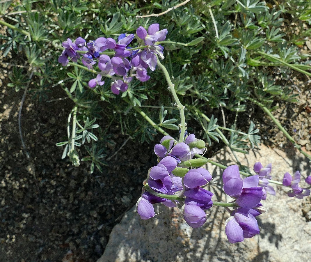
Lupine.
|
After hiking 2.5 miles we have reached our saddle lunch spot... looking back at our route that came down through the gap in the left center of the photo... then back up to where we are standing.
|
At our lunch spot... looking east... we will continue down to Horsethief creek at the bottom of the canyon... Martinez Mountain is on the horizon.
|
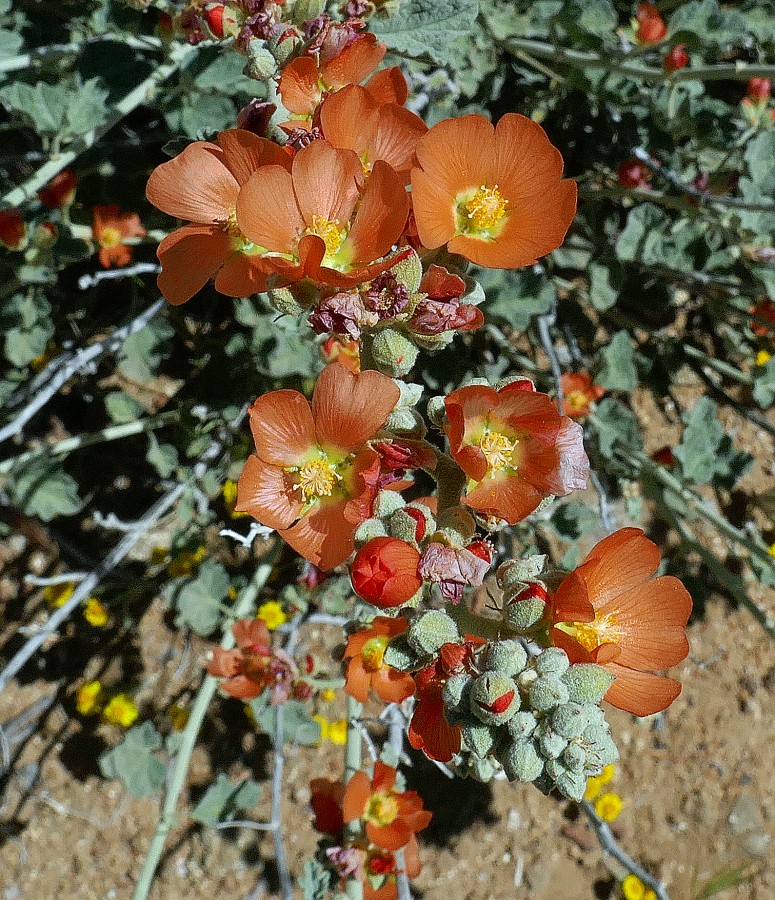
Desert Mallow.
|
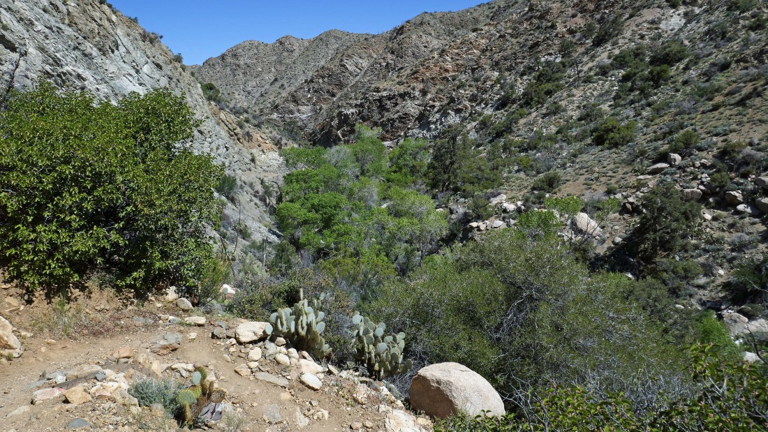
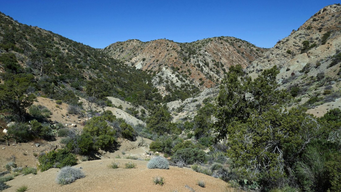
Down near the bottom of the canyon... we can't see Horsethief Creek yet... but we can hear it.
|
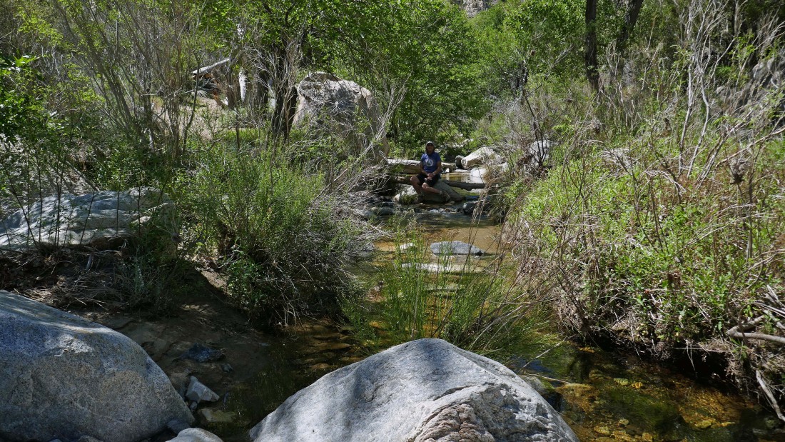
After hiking 3 miles we have reached Horsethief Creek... Denali Girl takes a well deserved break.
|
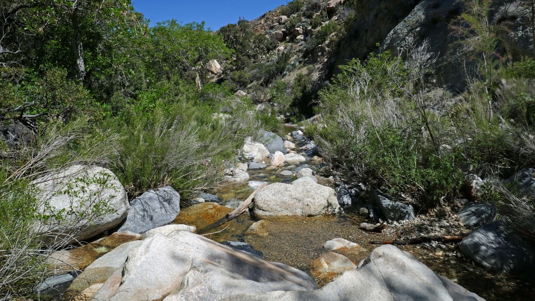
Looking downstream at our rest stop at Horsethief Creek.
|
On our way back to the car I stopped a short distance from the creek to check out this barbed wire corral that was supported by manzanita trees... those horse thiefs knew what they were doing.
|
After hiking 3.5 miles Denali Girl nears our saddle lunch spot.
|
From our saddle lunch spot we will follow the trail down... then back up through the gap on the far left.
|
Almost back to our car... here looking back at the dolomite mines in the right foreground... with Martinez Mountain dominating the horizon.
|
A stone's throw from the car... with the San Jacinto Mountains on the center horizon.
|
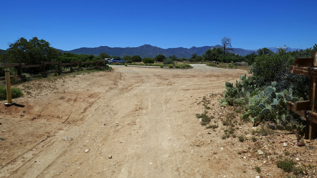
Back at the parking lot... the hike was 5.4 miles, gaining 1539 feet of elevation.
|
