Pyramid Peak and Little Desert - 5.1.2020
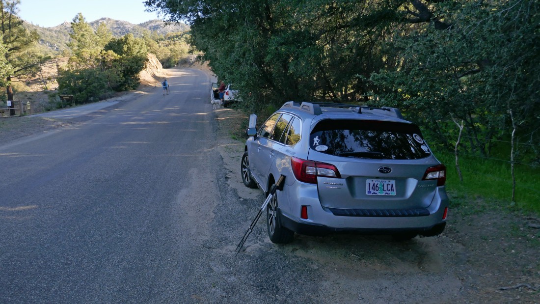
From the 'Palms to Pines' Highway (aka CA Hwy 74) turn NE onto Morris Ranch Road at the Garner Valley Fire Station... then drive the paved road for 3.6 miles and park on the side of the road.
|
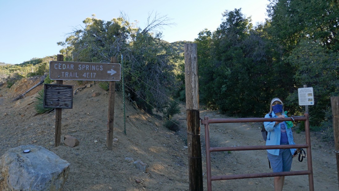
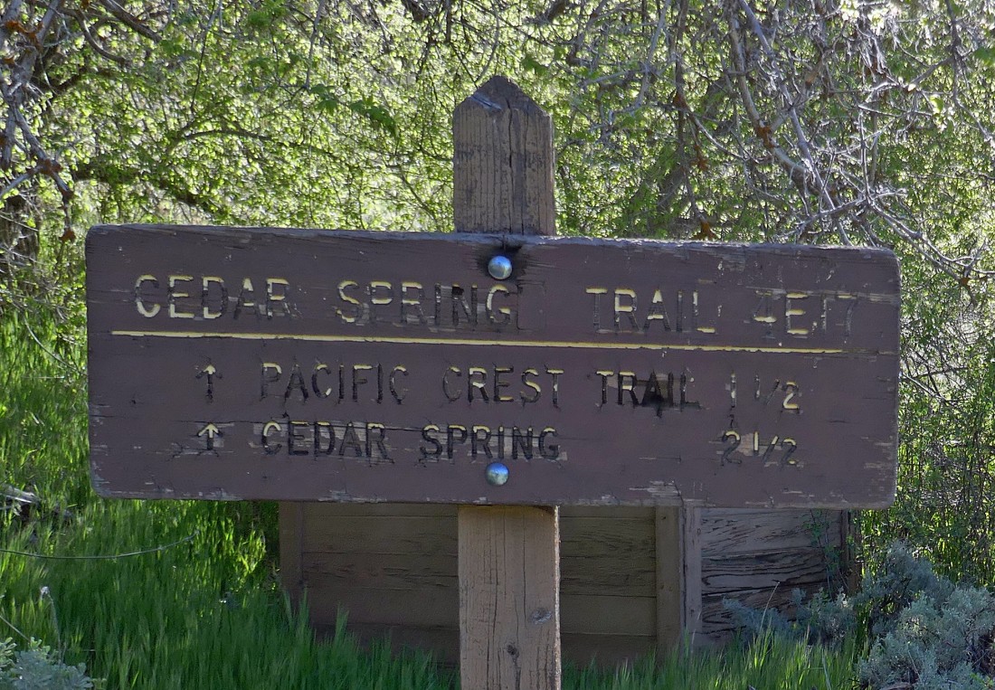
We walked north on the road a few yards from where we parked... opened the gate and started hiking on the Cedar Springs Trail.
|
Continuing to hike on the Cedar Springs Trail... crossing the creek a few times along the way.
|

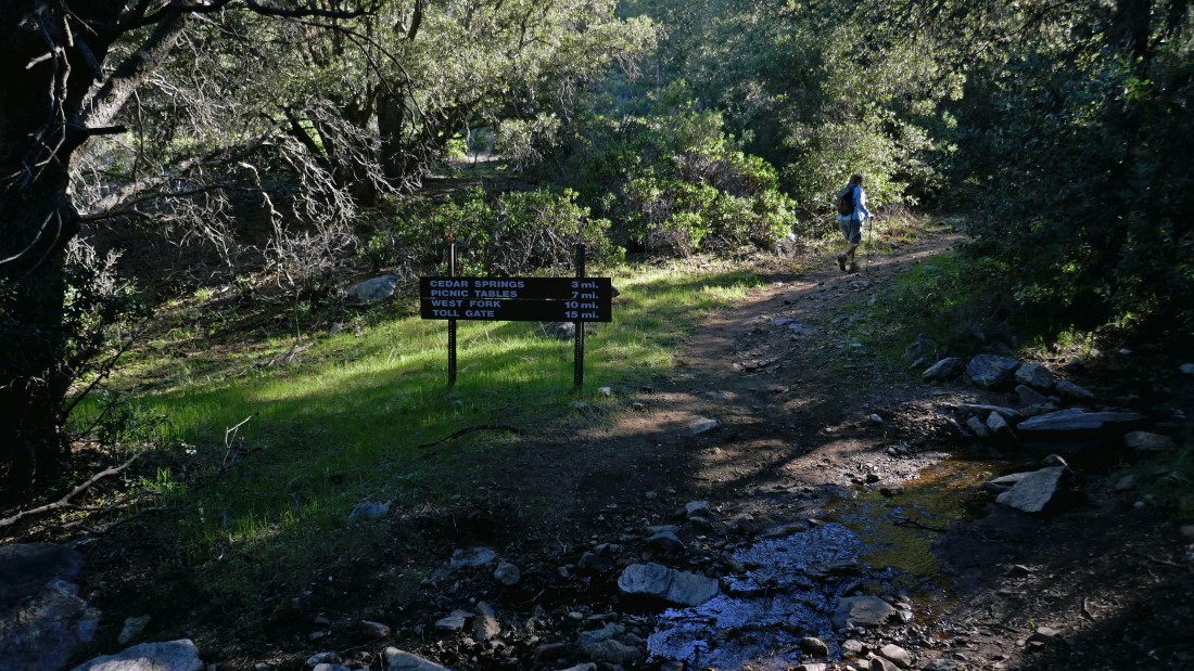
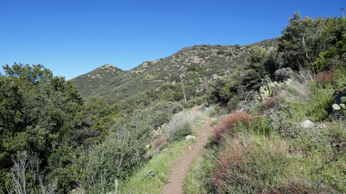
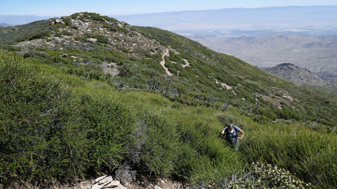
There were four gates during the first mile of the hike... we are heading for the ridge above.
|
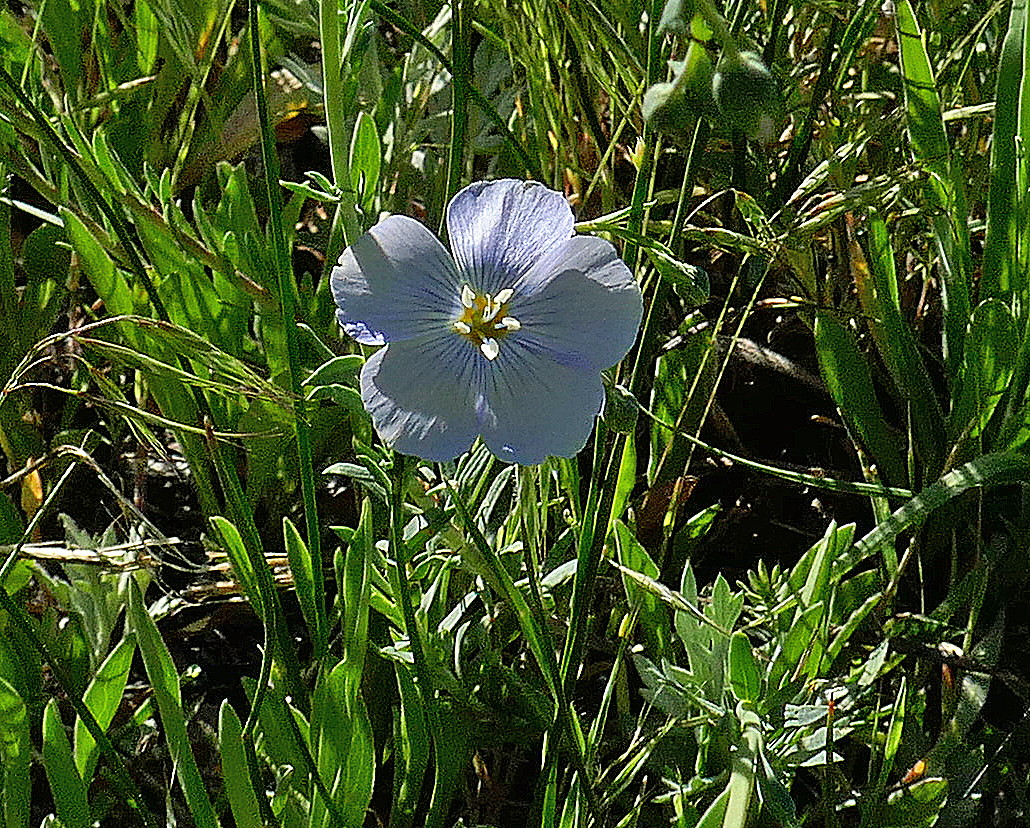
I think this is a Pale Flax.
|
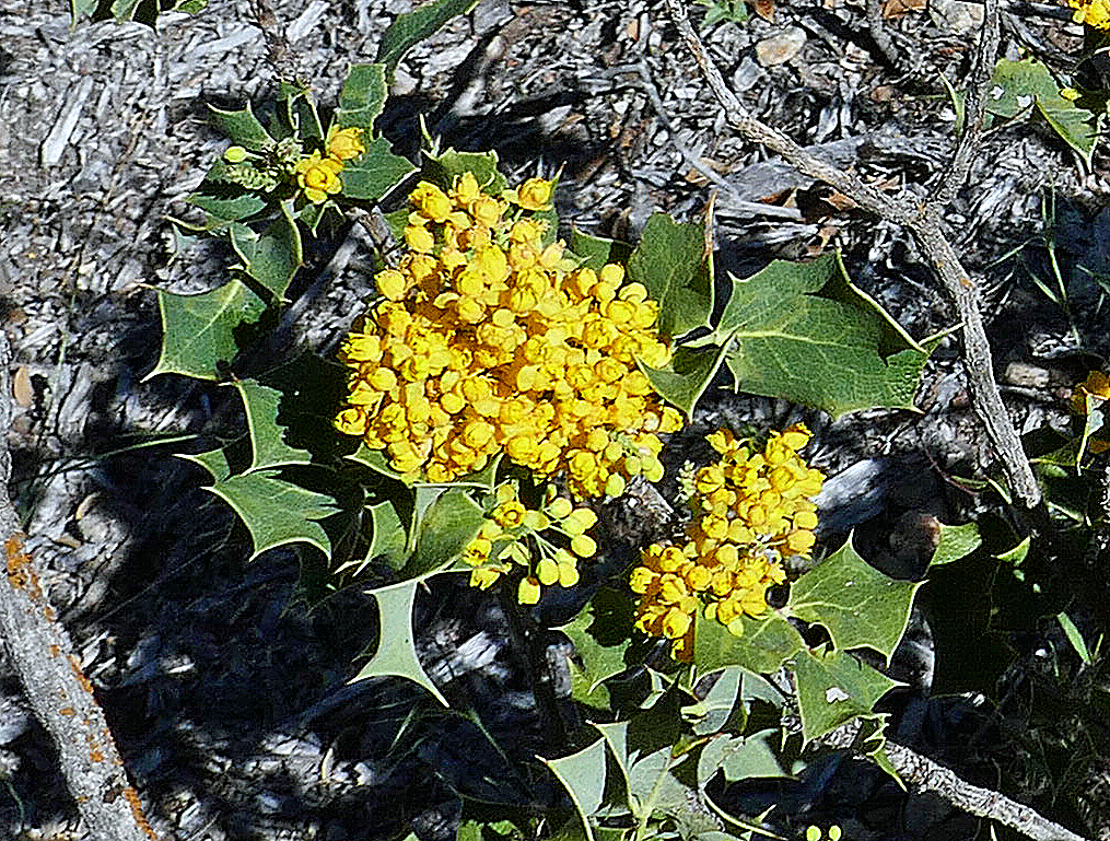
Oregon Grape.
|
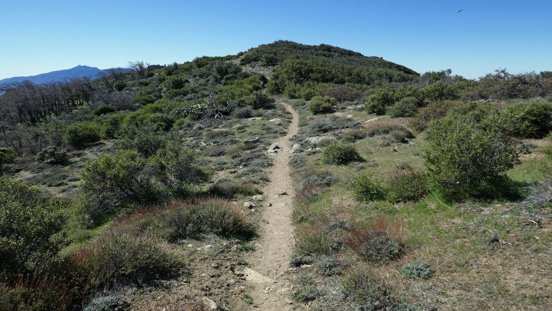
After hiking one mile we are getting ready to switchback our way up to the Pacific Crest Trail.
|
The switchbacks on the Cedar Springs Trail are graded very nicely... much like the PCT.
|
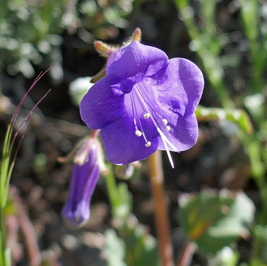
Wild Canterbury Bell.
|
Still switchbacking our way up to the ridge... here looking back down on our route through the meadow below... Thomas Mountain is in the center foreground.
|
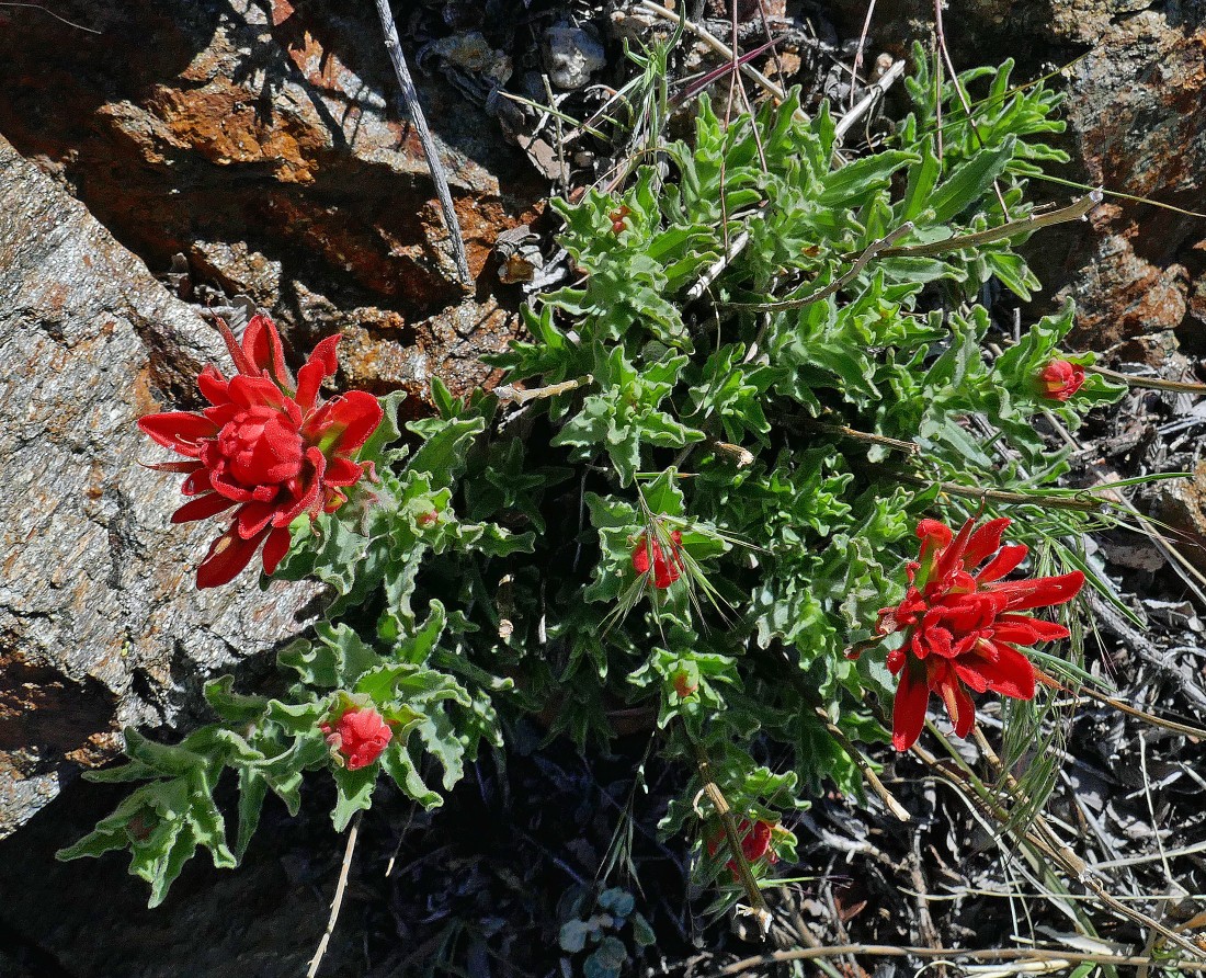
Indian Paintbrush.
|
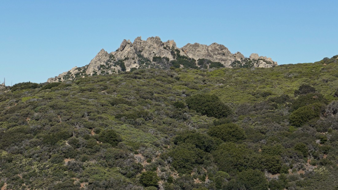
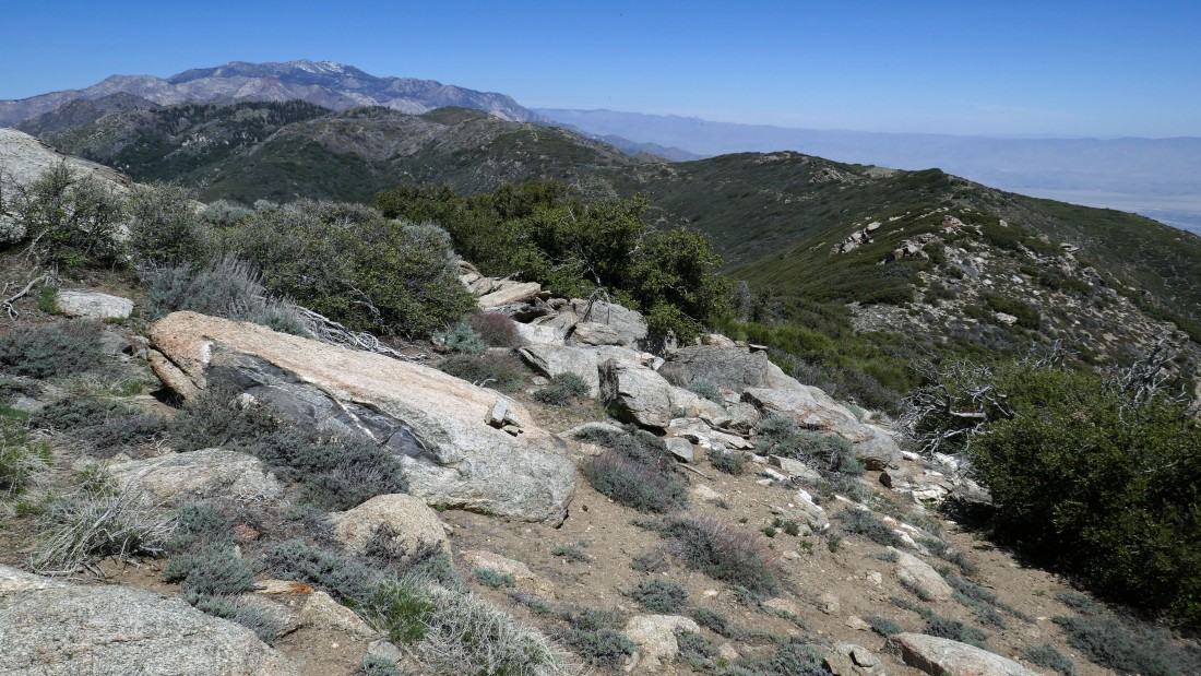
Some interesting peaks to the NW... but I could not find a name on any map.
|
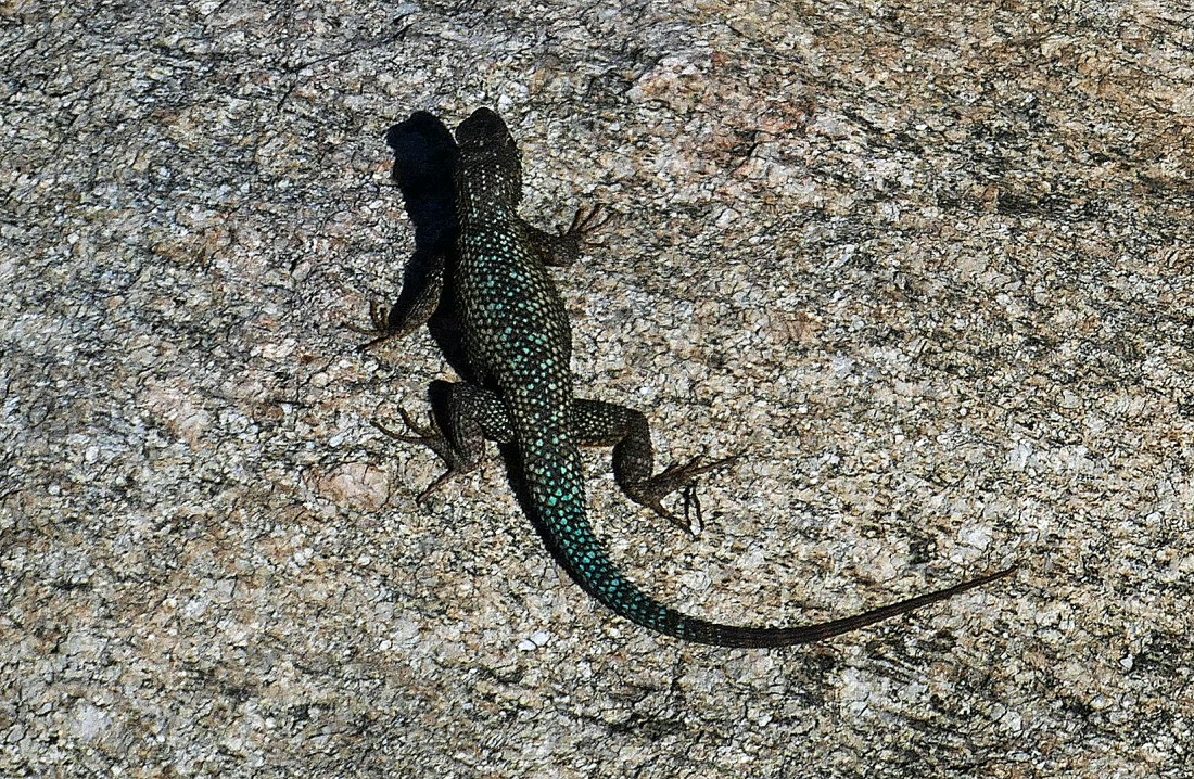
You tell me what it is... I call it a lizard.
|
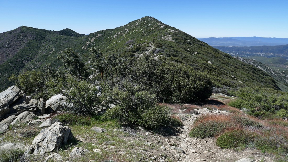
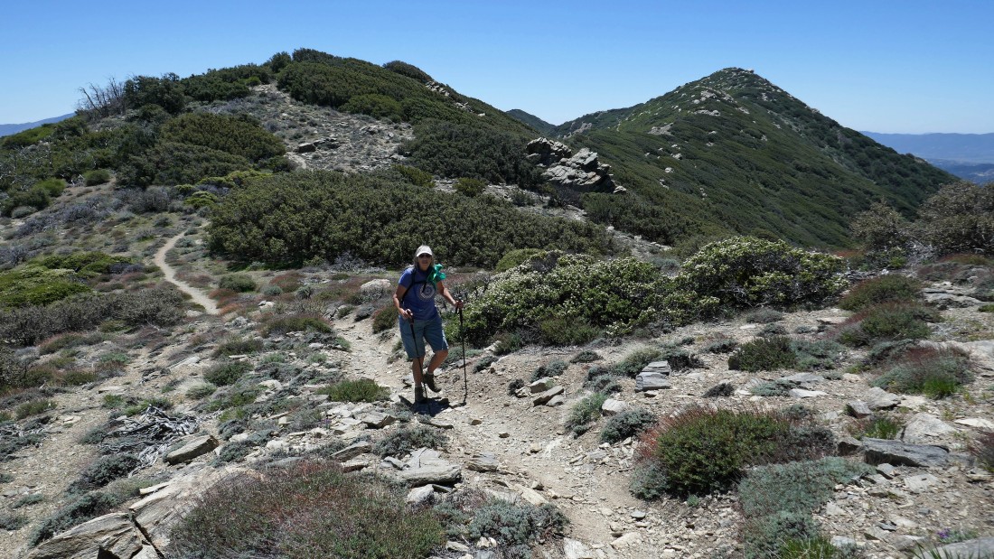
Still swithbacking our way up the Cedar Springs Trail... high enough now to see our eventual target of Pyramid Peak out there on the left.
|
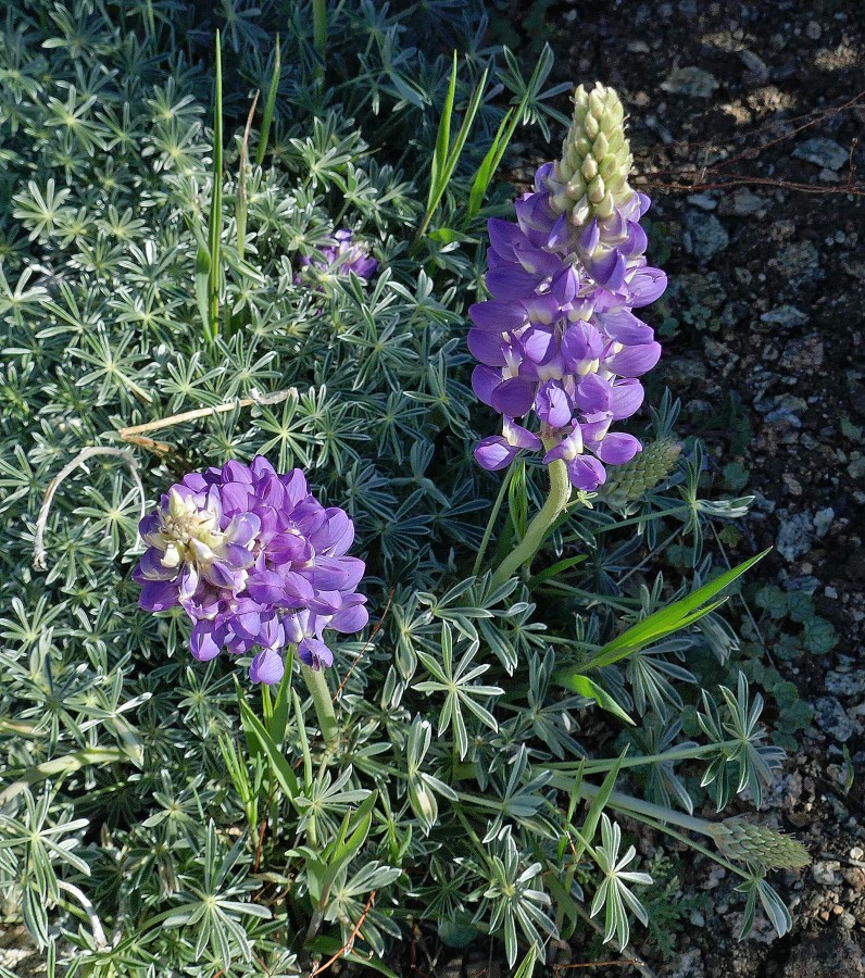
Lupine.
|
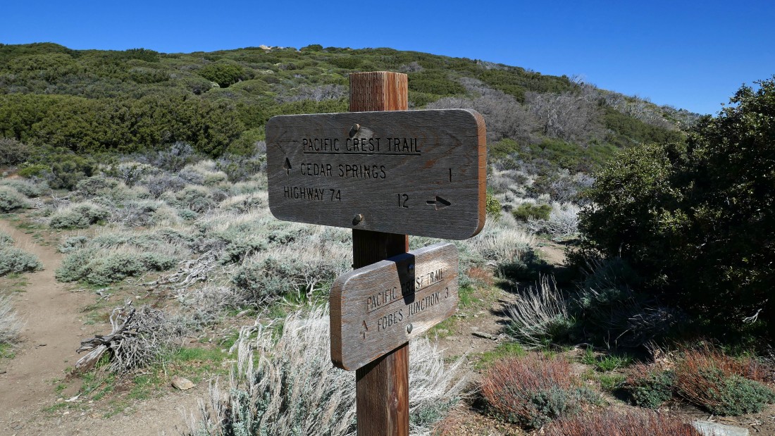
After hiking 2.3 miles we have reached the junction with the Pacific Crest Trail.
|
Hiking on the PCT... heading for Pyramid Peak out there on the right.
|
On the PCT... looking back at the San Jacinto Mountains.
|
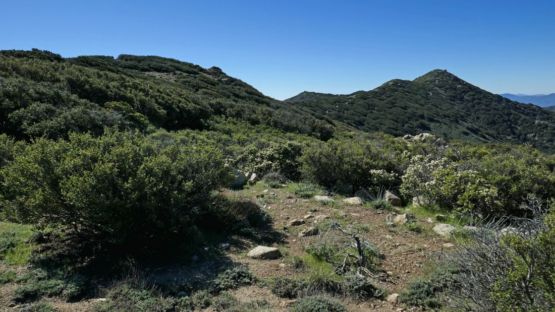
Hiking south on the PCT... that little bump out there is called 'Little Desert'... a simple off-trail walk from the PCT.
|
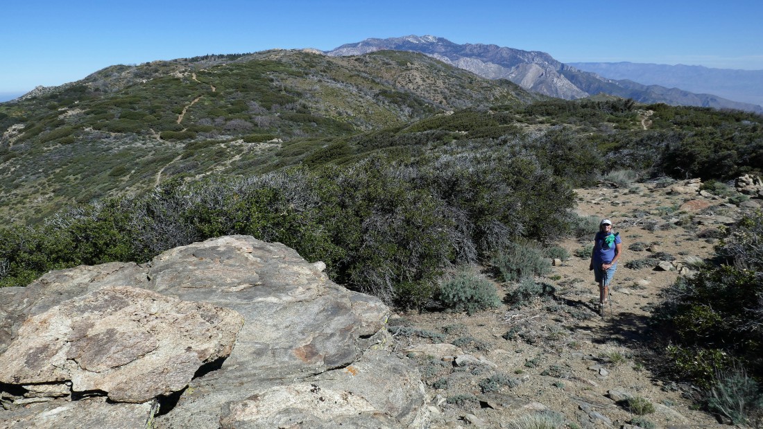
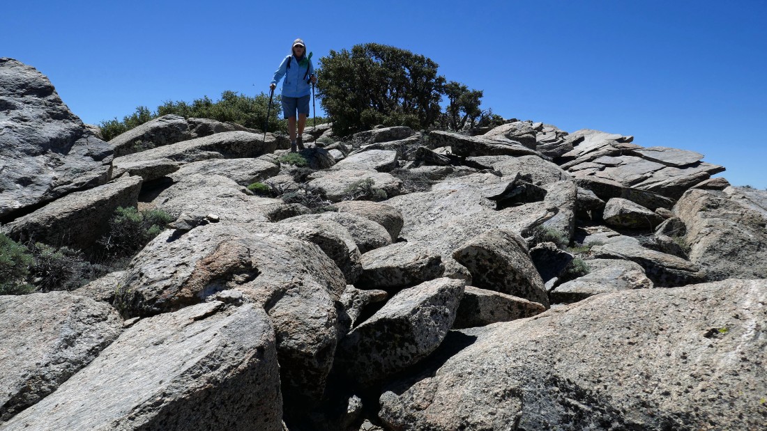
Denali Girl nears the summit (6868') of Little Desert.
|
|
After hiking a total of 2.6 miles we are on the summit of Little Desert... looking at Pine Mountain and Pyramid Peak in the left foreground... with Thomas Mountain in the center of the photo.
|
On the summit of Little Desert... looking SE to the very hazy Coachella Valley on the far left... with a kind of hazy Martinez Mountain and Santa Rosa Mountain in the left center of the photo... with Pine Mountain and Pyramid Peak in the foreground.
|
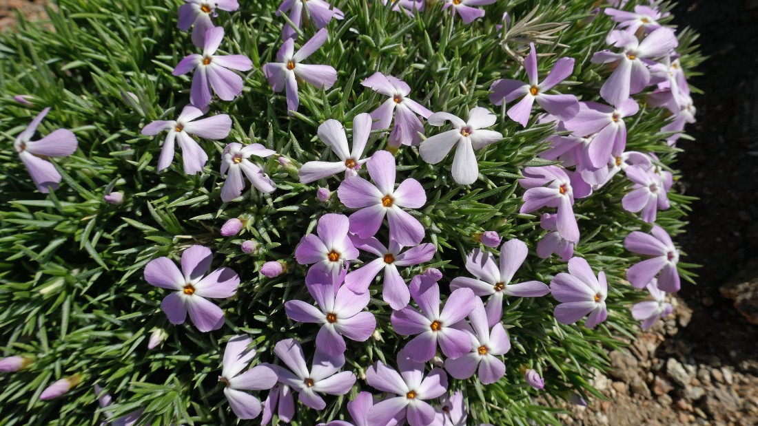
Phlox I think.
|
Continuing south on the PCT... heading for Pyramid Peak.
|
Getting closer to Pyramid Peak on the right... with Pine Mountain on the far left.
|
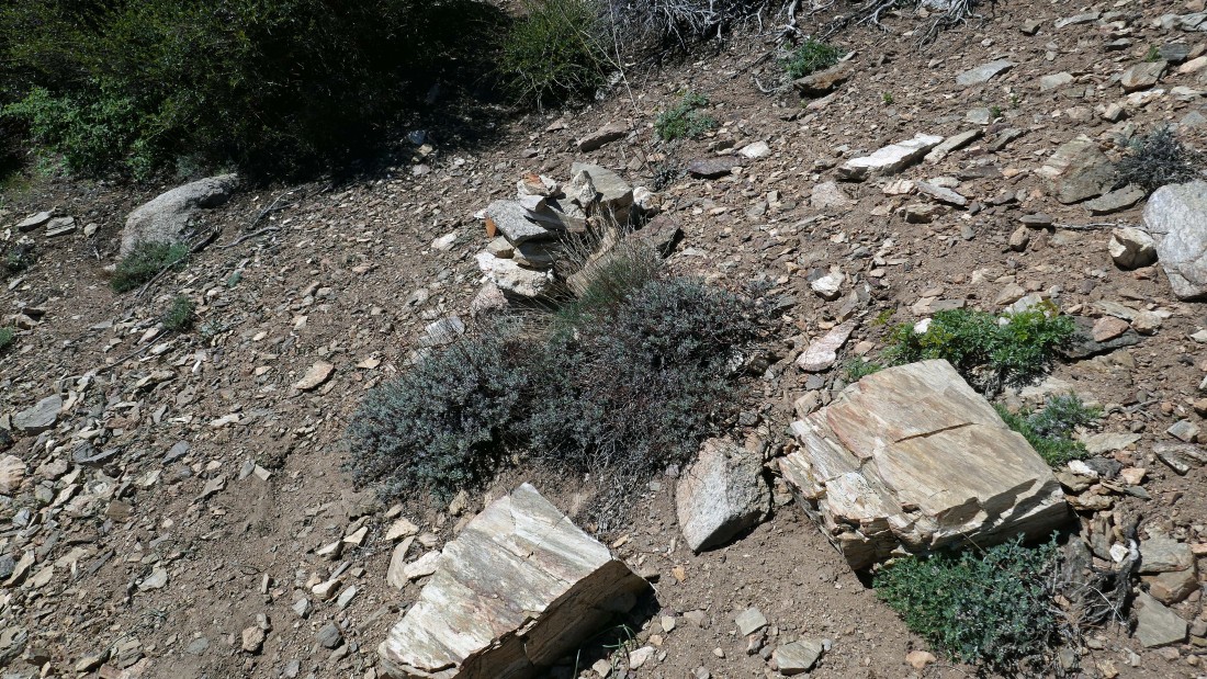
After hiking 3.4 miles we have found the very large cairn next to the PCT that marks the spot where we left the PCT and headed off-trail toward the summit of Pyramid Peak.
|
Off-trail and hiking up to Pyramid Peak... with a very hazy Coachella Valley in the distance.
|
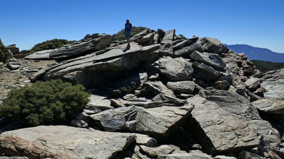
Nearing the summit of Pyramid Peak.
|
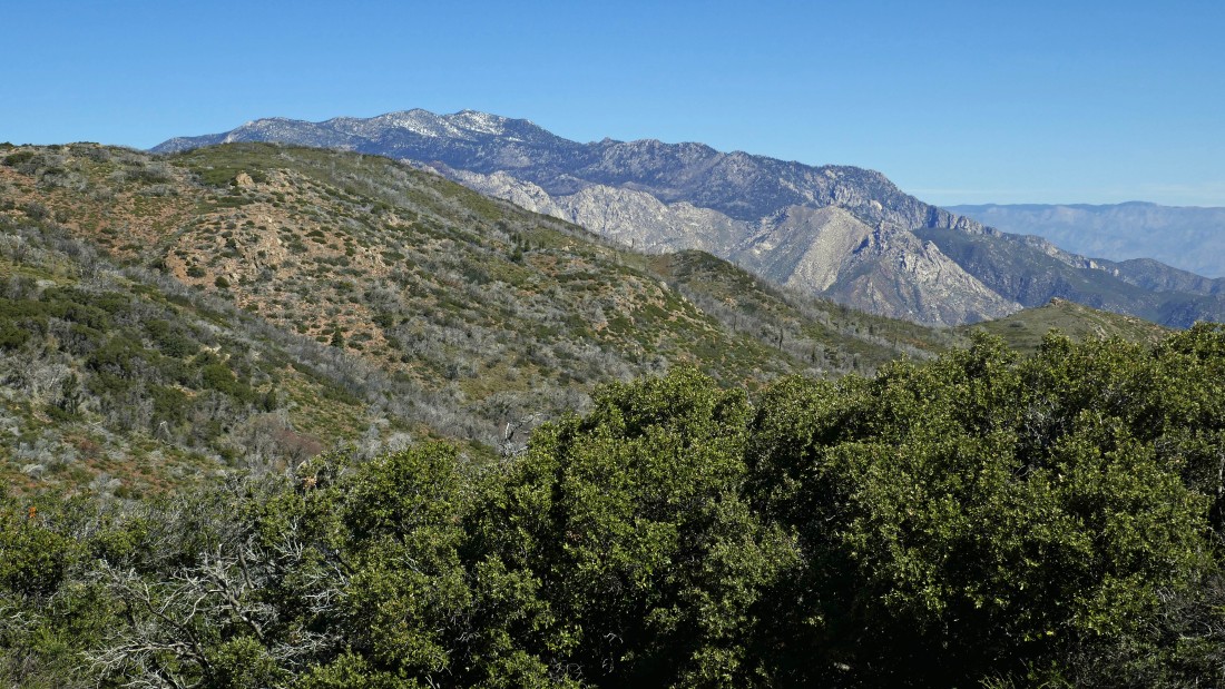
After hiking 3.6 miles we have reached the summit (7035') of Pyramid Peak... looking east across Garner Valley to Thomas Mountain and Lake Hemet on the left... and north to the San Jacinto Mountains in the right center of the photo.
|
Looking north to the San Jacinto Mountains... and the switchbacks in the right foreground that we used on the Cedar Springs Trail to get up to the PCT on the ridge.
|
Denali Girl on the summit of Pyramid Peak.
|
Denali Girl took this photo of me on the summit... with the San Jacinto Mountains on the horizon.
|
Looking east across Garner Valley to Thomas Mountain... Lake Hemet is to the right of Thomas Mountain.
|
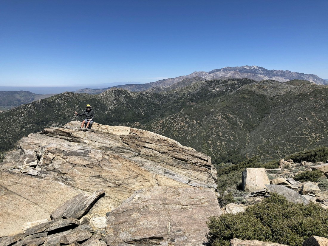
Still on the Pyramid Peak summit... with the San Jacinto Mountains on the far left... with the hazy Coachella Valley in the center of the photo... the Little San Bernardino Mountains are on the far side of Coachella Valley, forming parts of the western and southern boundaries of Joshua Tree National Park... with Pine Mountain in the far right foreground.
|
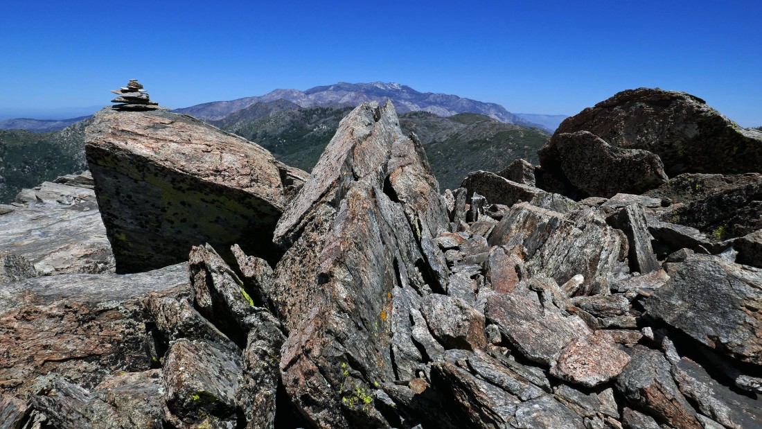
Yes... I built a little summit cairn on Pyramid Peak.
|
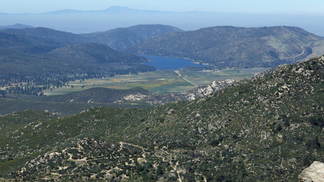
A closeup looking east across Garner Valley to Lake Hemet.
|
Time to leave the summit of Pyramid Peak.
|
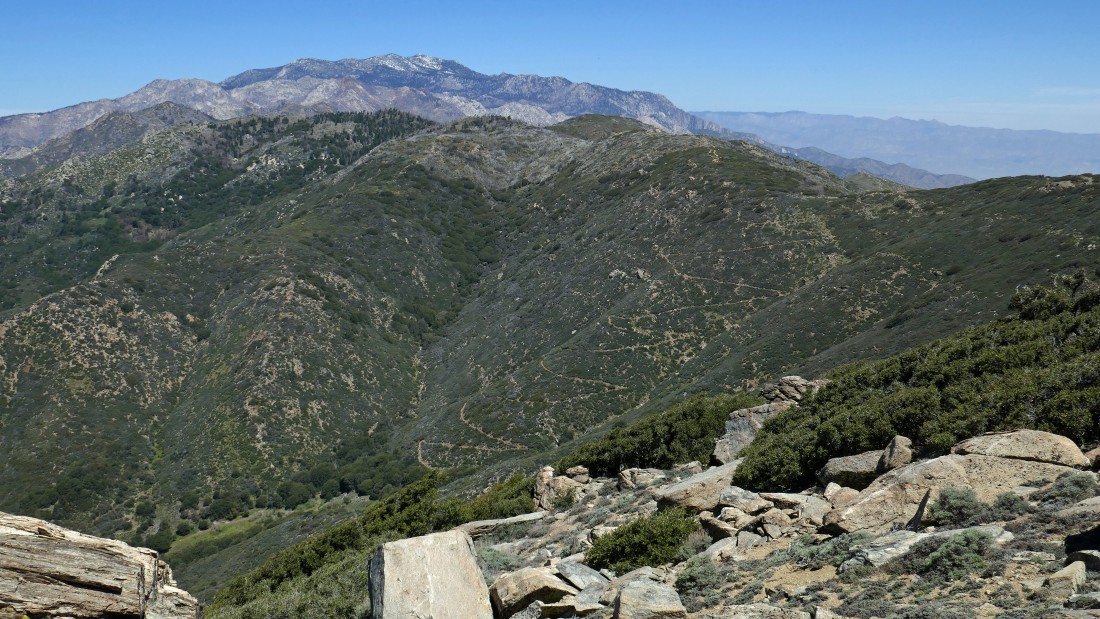
Tracing our steps back to the car... we will go down to the PCT... then follow the ridge back to the saddle in the center of the photo... then follow the Cedar Springs Trail back to the car.
|
Returning to the junction of the PCT and Cedar Springs Trail... with Pyramid Peak back there on the right.
|
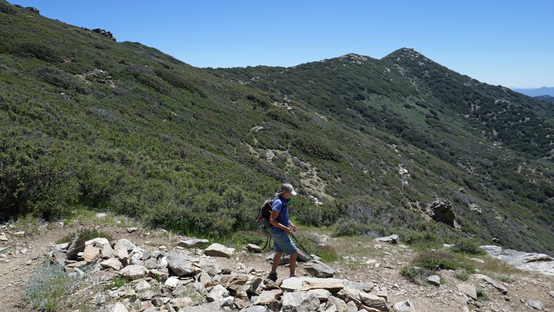
Back on the Cedar Springs Trail and heading down the switchbacks... with Pyramid Peak on the right horizon.
|
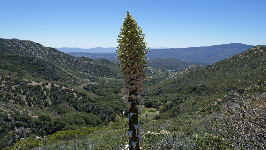
Lots of Yucca cacti as we continue down the switchbacks... we will hike through the meadow that is in the center of the photo.
|
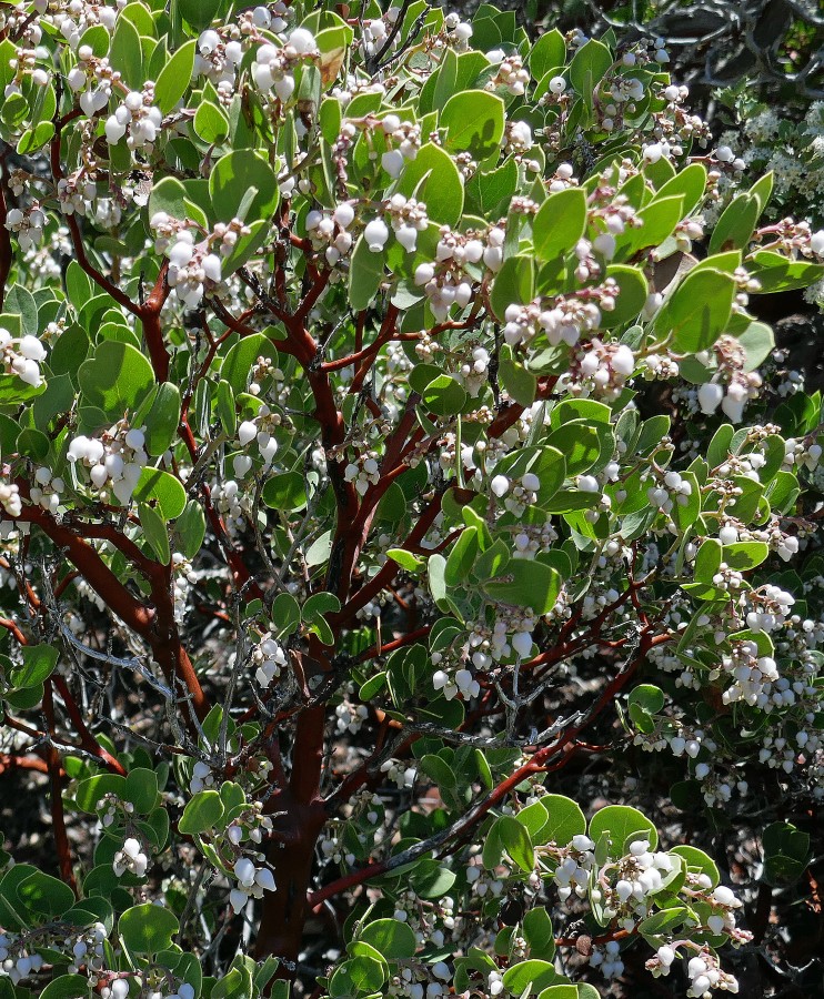
Tons of blooming manzanita trees were on this hike.
|
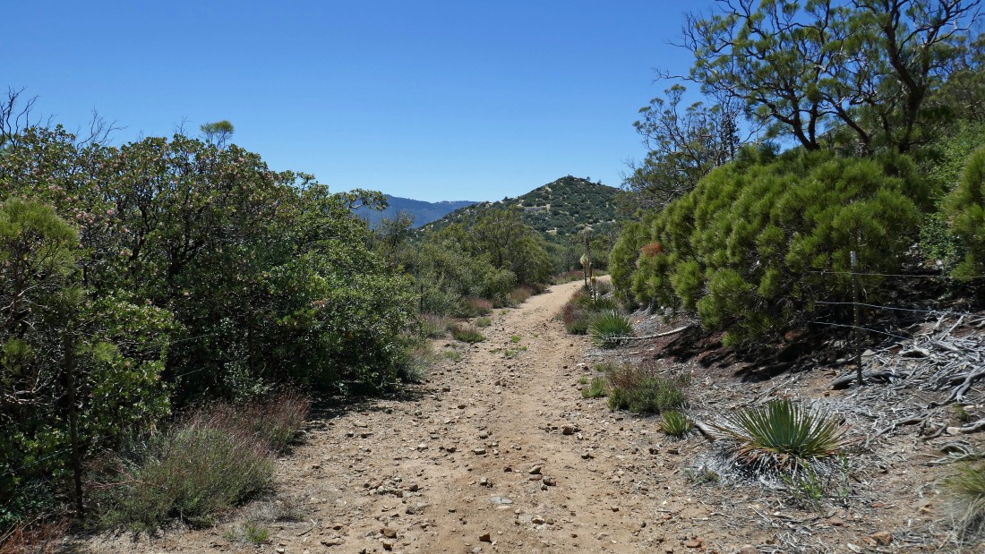
Finishing up the last part of the hike on a dirt road.
|
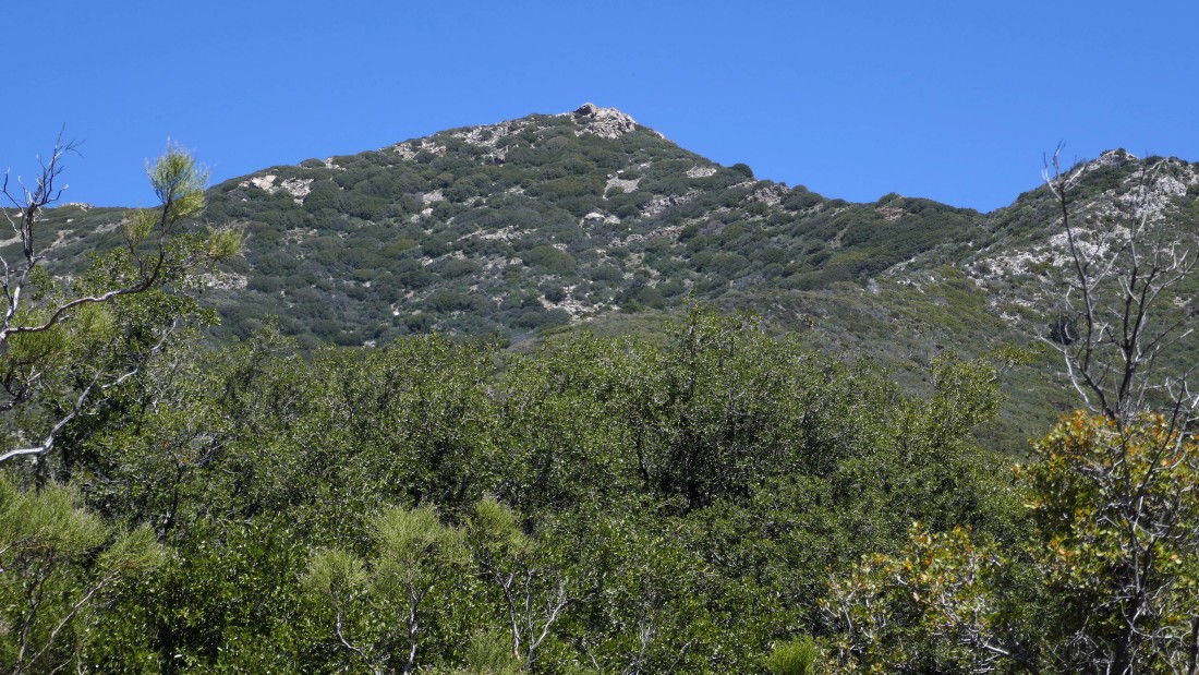
Almost back to the car... looking up at Pyramid Peak on the ridge.
|
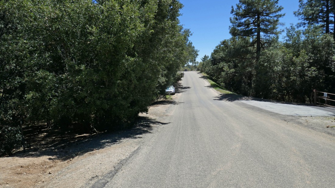
Almost back to our car... the hike was 7.1 miles, gaining 1979 feet of elevation.
|
