Spitler Peak - 5.9.2020
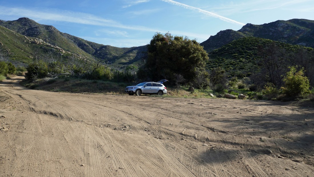
From the 'Palms to Pines' Highway (aka CA-74) I turned north onto the unpaved Fobes Ranch Road... then drove 3.5 miles and parked at an unsigned trailhead... I recommend a high clearance vehicle for this road.
|
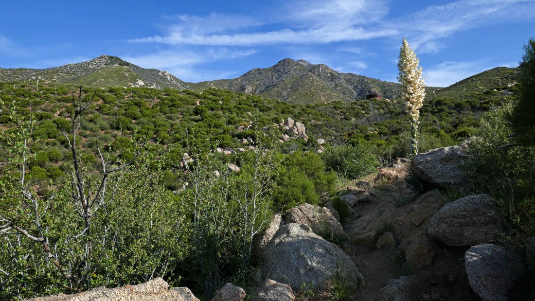
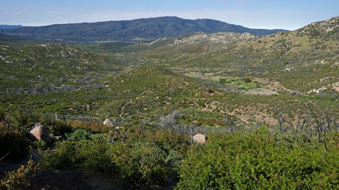
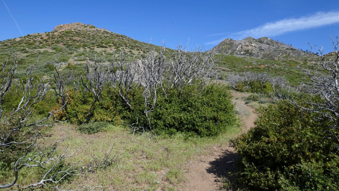
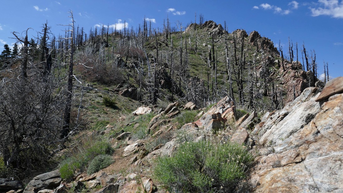
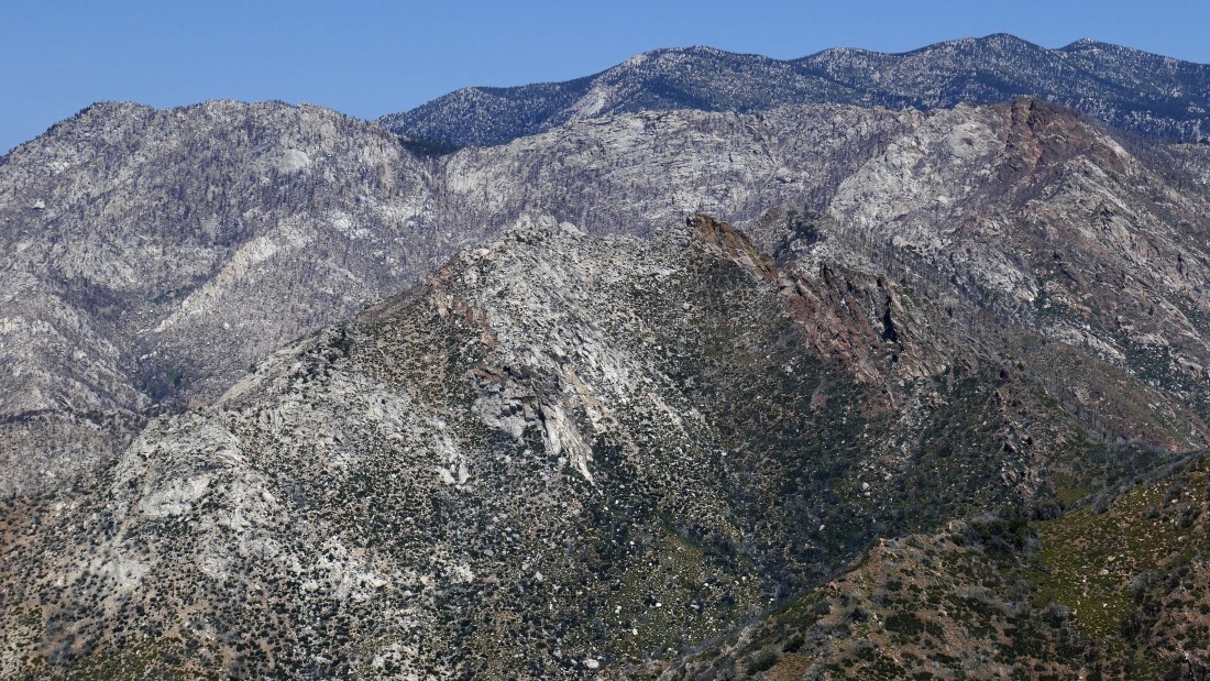
Locals refer to the trail as the 'Fobes Saddle Trail'... it is switchbacked very nicely... Spitler Peak is the high point up there in the center of the photo.
|
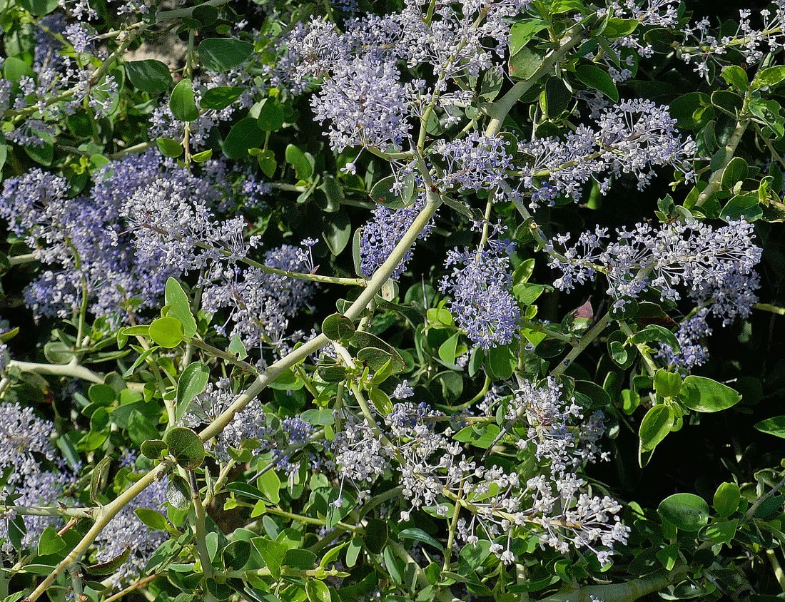
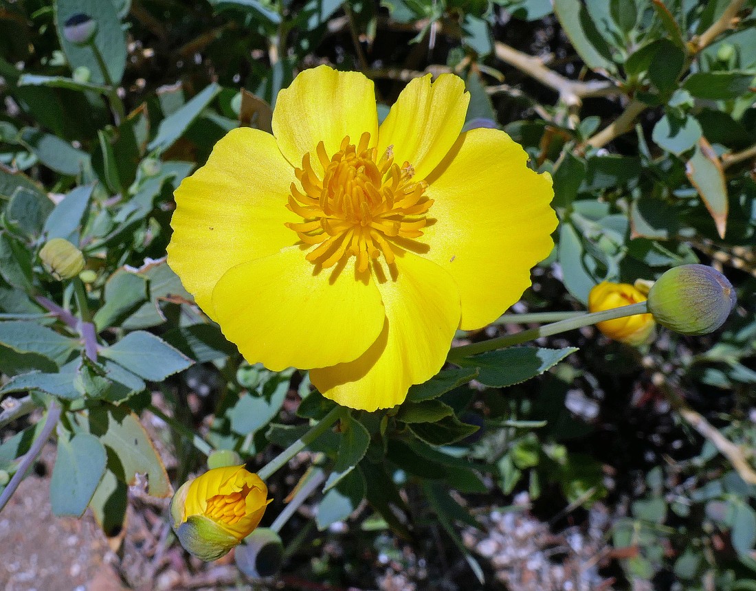
I think this is a lilac bush... but not sure. Lots of them and incredibly fragrant.
|
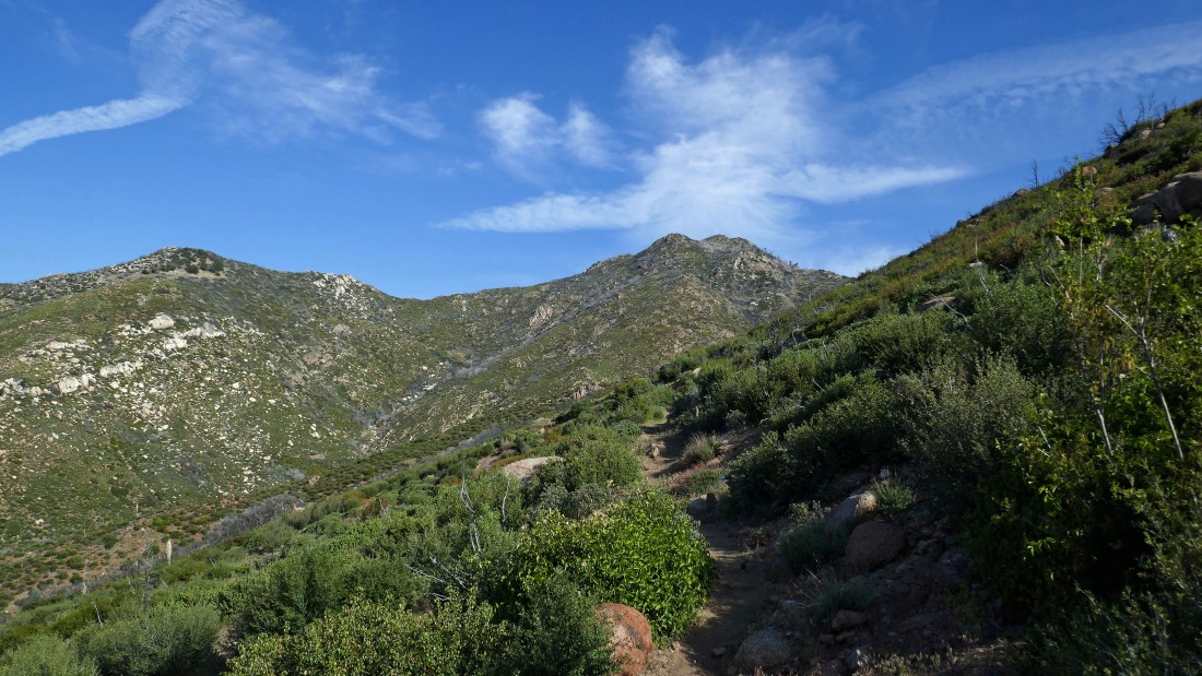
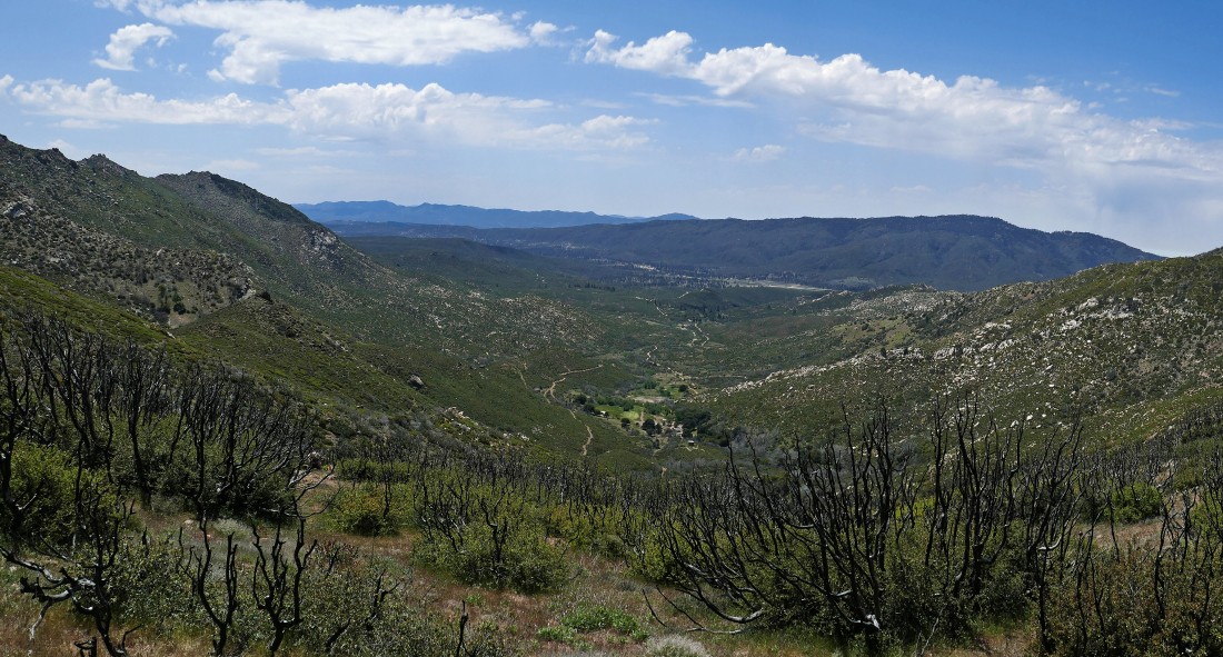
Gaining elevation on the Fobes Saddle Trail... looking down Fobes Canyon to Thomas Mountain on the horizon.
|
Hiking up the nice switchbacks toward Spitler Peak.
|
Still gaining elevation on the Fobes Saddle Trail... part of Fobes Ranch is on the right.
|
I'm almost at Fobes Saddle... Spitler Peak is in the center of the photo... the road in the lower left corner is coming up from Fobes Ranch... in other words, if you know the Fobes family, you might be able to save some elevation gain on this hike.
|
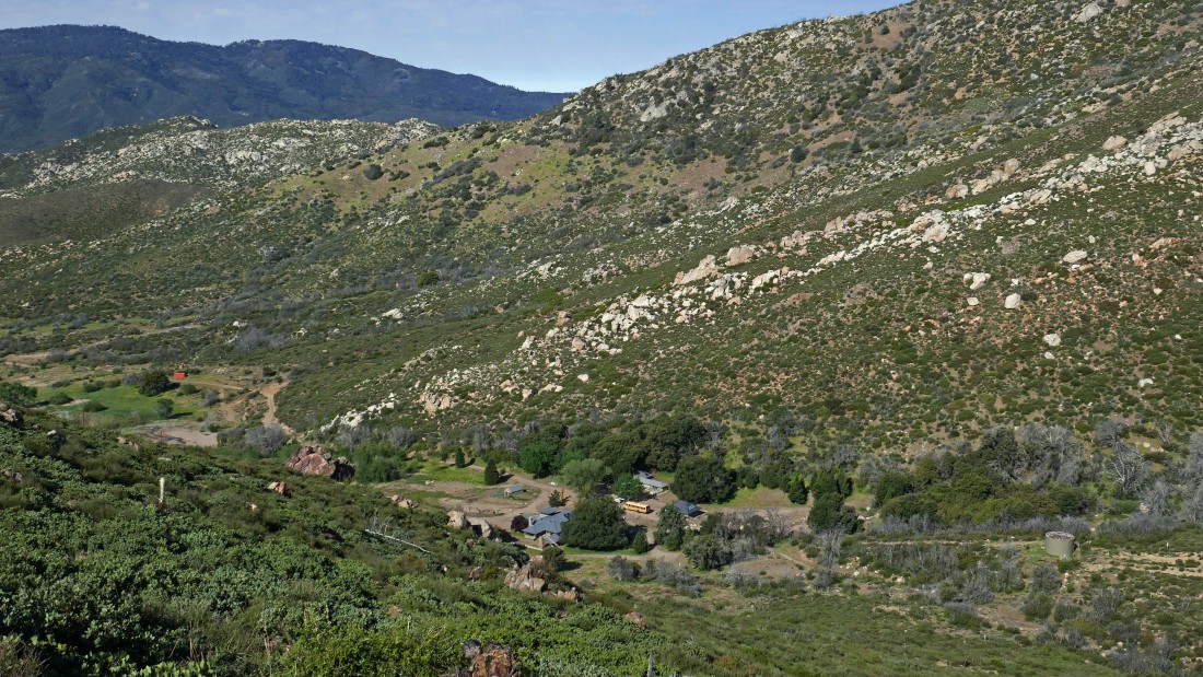
Looking down on Fobes Ranch from near Fobes Saddle.
|
Fobes Saddle is out there on the right... that is where I will connect with the Pacific Crest Trail... Spitler Peak is out there on the far left.
|
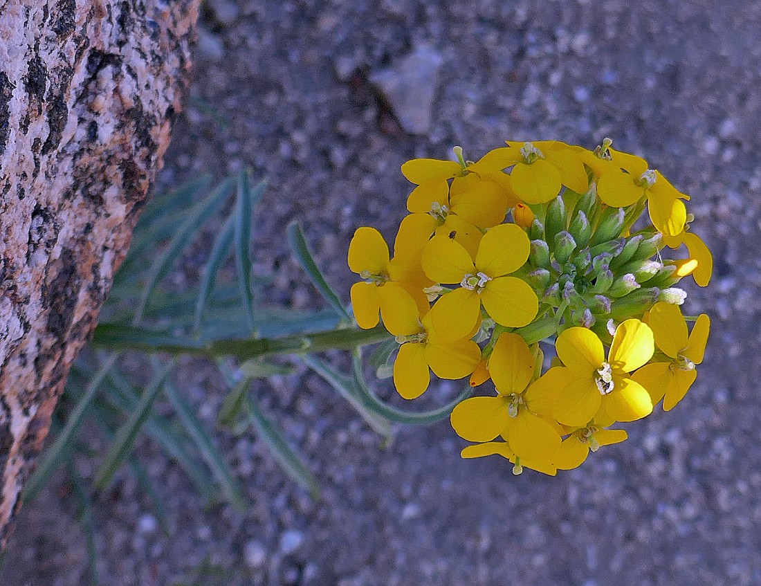
A sanddune wallflower.
|
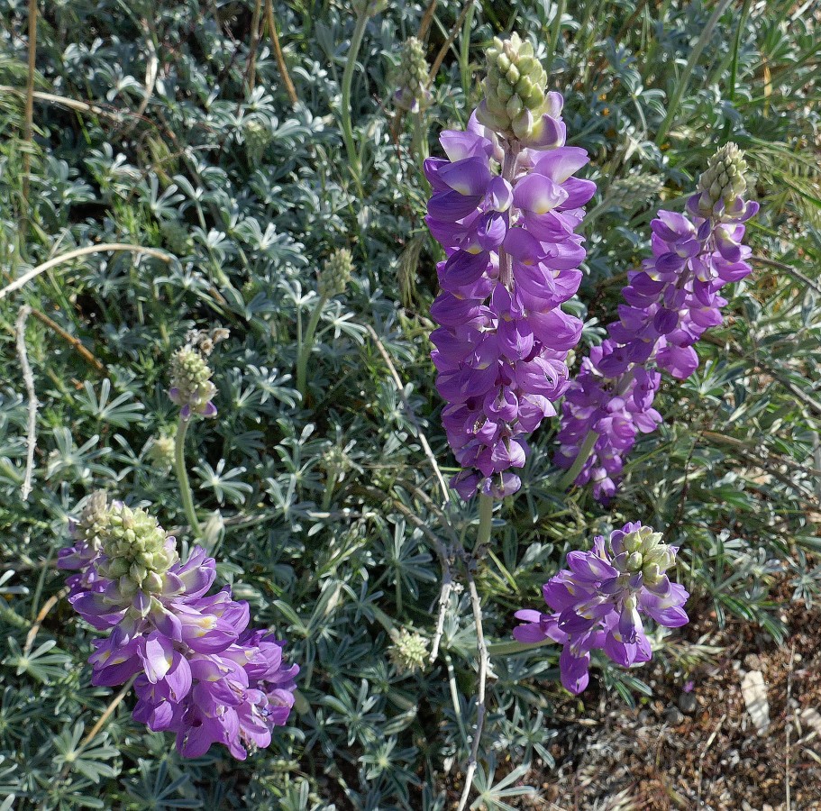
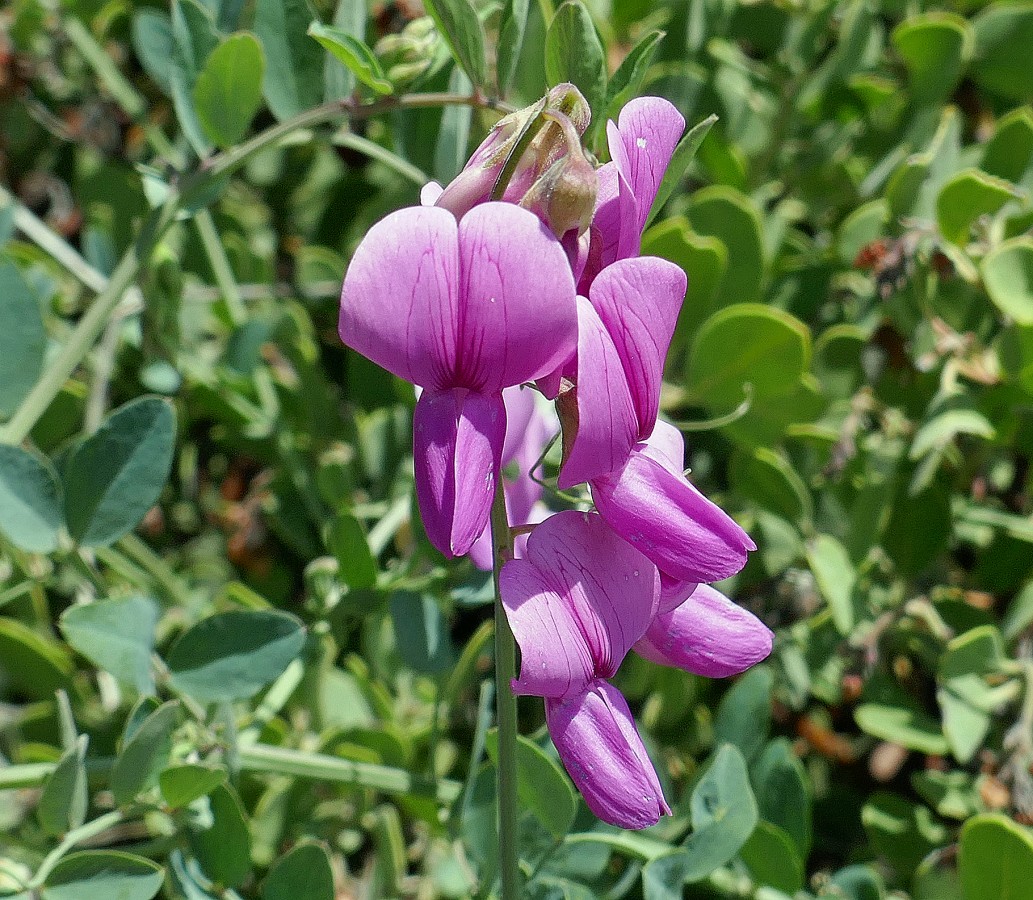
Lupine.
|
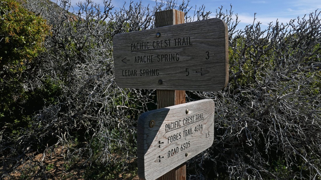
After hiking two miles I have reached Fobes Saddle and connected with the PCT... I will head north on the PCT toward Apache Spring.
|
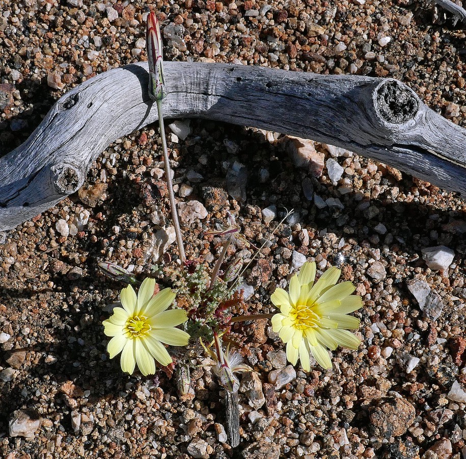
Scale Bud.
|
Hiking north on the PCT... heading for Spitler Peak on the right.
|
Looking down into the Agua Caliente Indian Reservation and a very hazy Coachella Valley... with the Little San Bernardino Mountains on the horizon.
|
|
Continuing to gain elevation on the PCT... looking down into Fobes Canyon... and out to Thomas Mountain.
|
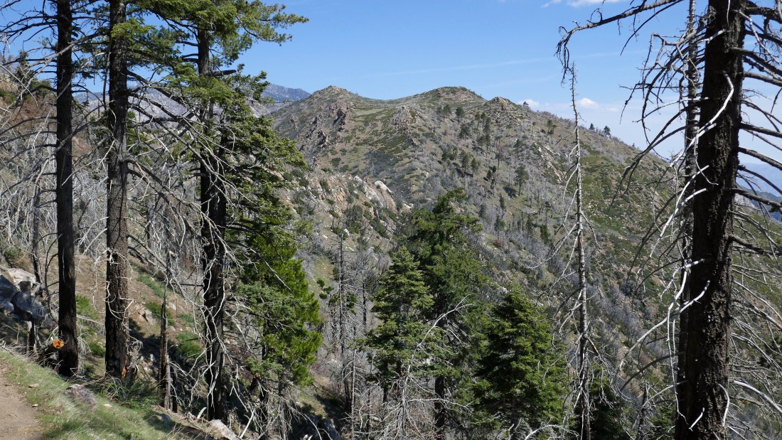
I'm hiking north on the PCT as it traverses along the east side of Spitler Peak... with Apache Peak in the distance.
|
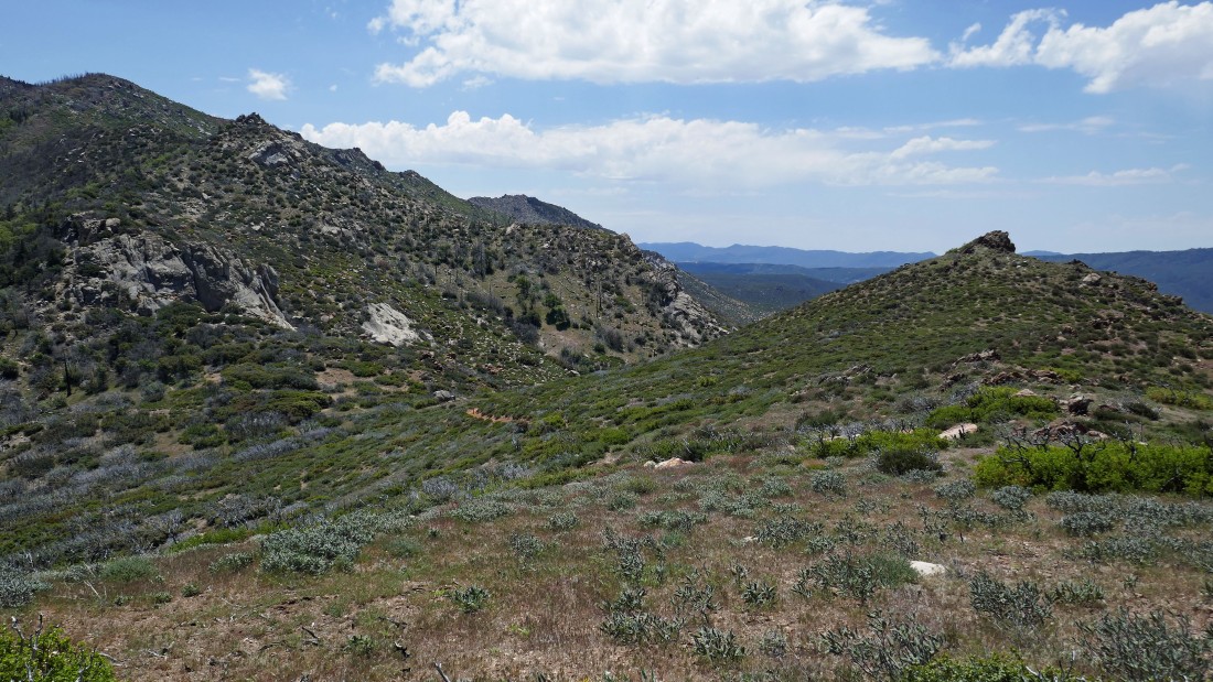
After hiking 3.8 miles I have reached the spot where the PCT connects with the north ridge of Spitler Peak... time to leave the PCT and follow the good path up to the Spitler summit.
|
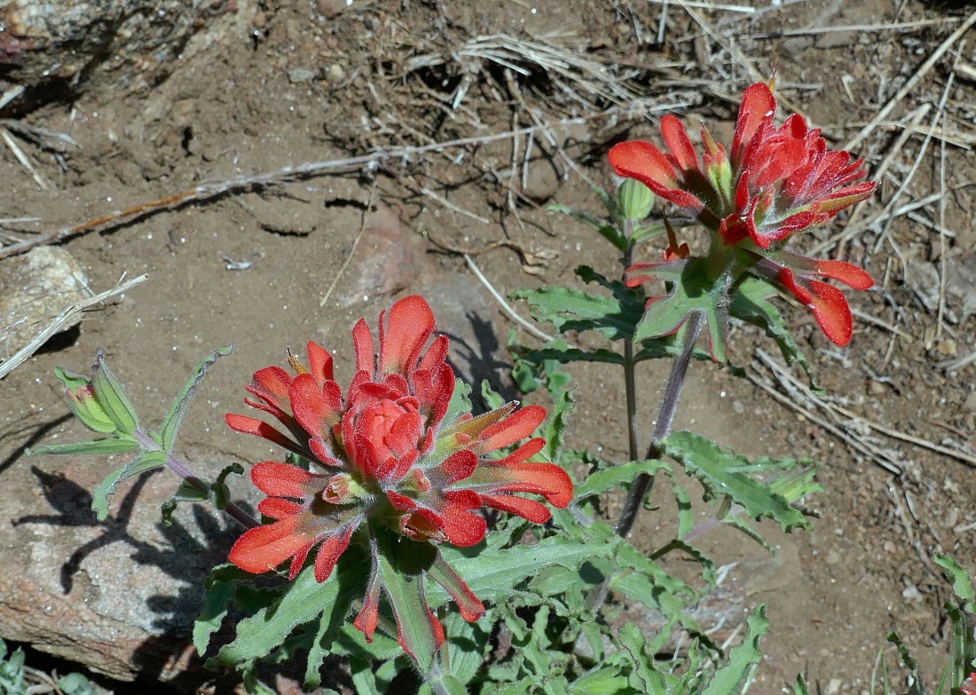
Inidan Paintbrush.
|
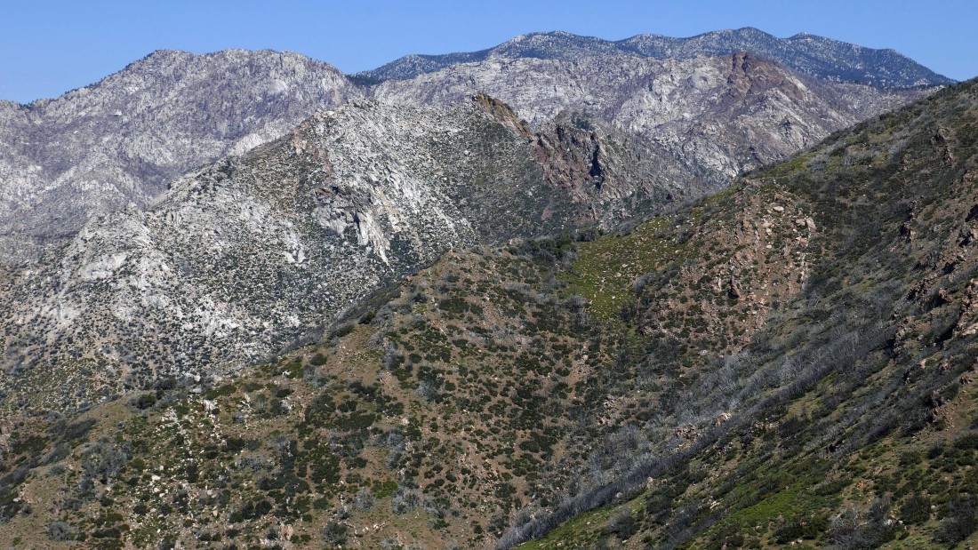
I didn't have to hike up the north ridge of Spitler to get this view of the high peaks of the San Jacinto Mountains... with Tahquitz Peak on the far left and Red Tahquitz on the far right... with Marion, Jean and San Jacinto on the center horizon.
|
|
A broader look at the previous photo... with Apache Peak in the foreground... the PCT continues north over Apache... then toward Tahquitz... then past Marion and on over near San Jacinto.
|
Continuing for the Spitler Peak summit... looking SE toward Martinez Mountain on the far right horizon... with the north end of the Salton Sea to the left of Martinez.
|
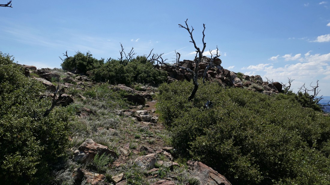
The Spitler Peak summit is in view.
|
Nearing the summit of Spitler Peak.
|
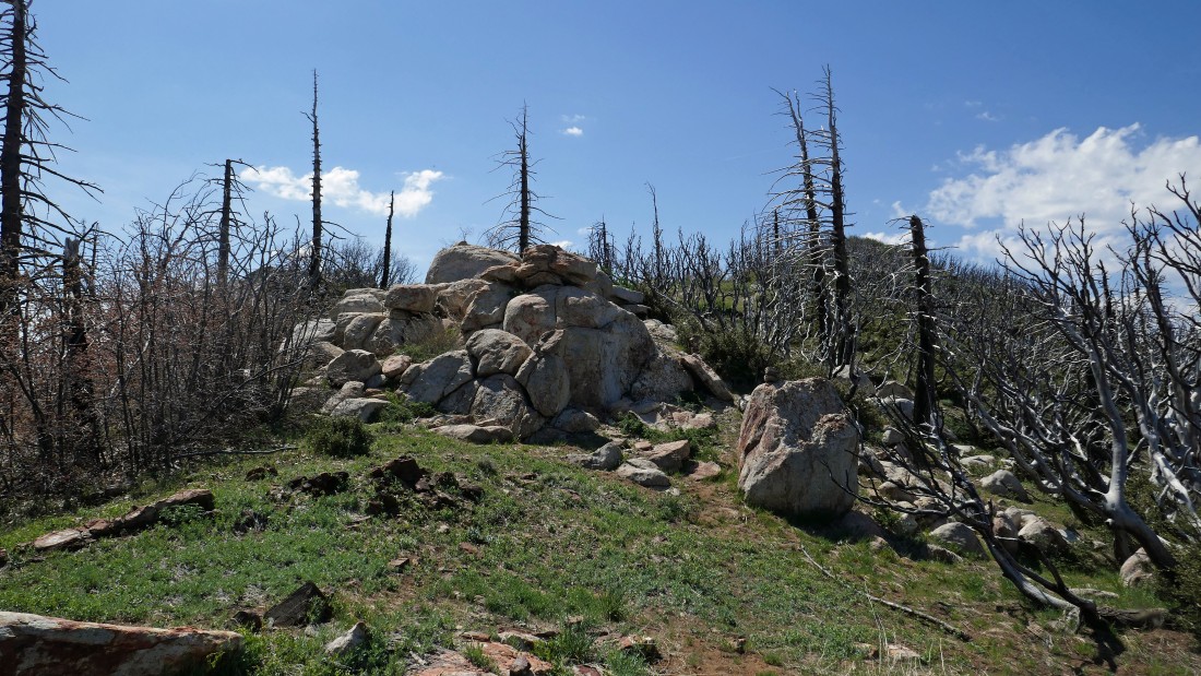
The Spitler Peak summit (7510') is only a few steps away.
|
|
A summit view... looking SW down Apple Canyon to Lake Hemet on the right... and south down Fobes Canyon on the left... with Thomas Mountain in the center of the photo.
|
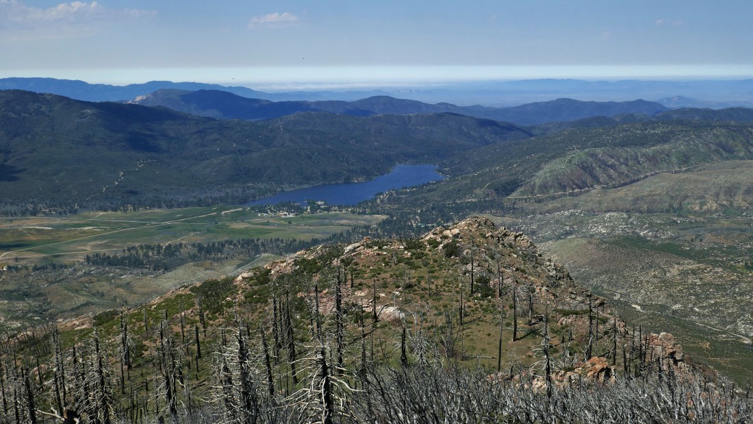
A closer look at Lake Hemet from the Spitler Peak summit.
|
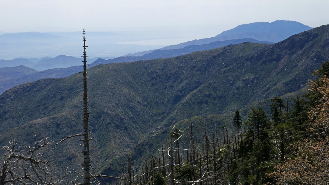
Looking east from the Spitler Peak summit... across the Agua Caliente Indian Reservation to Coachella Valley and the Little San Bernardino Mountains.
|
Looking south from the Spitler Peak summit... with more of the San Jacinto Mountains in the foreground... with Martinez Mountain and Santa Rosa Mountain on the center horizon... Coachella Valley on the far left and Garner Valley on the far right.
|
Looking north from the Spitler Peak summit... with Tahquitz Peak on the far left... Red Tahquitz on the far right foreground... with Marion, Jean and San Jacinto on the horizon... the high point of the San Jacinto Mountains is San Jacinto Peak (10,804') which is on the far right horizon.
|
Heading back to the car... tracing my steps back down the PCT... looking down Fobes Canyon.
|
I believe it is a Desert Sunflower.
|
Almost back to Fobes Saddle where I will leave the PCT and head down the Fobes Saddle Trail.
|
After hiking 6.2 miles I have returned to Fobes Saddle... looking back at Spitler Peak in the center of the photo.
|
Everlasting Pea... I think.
|
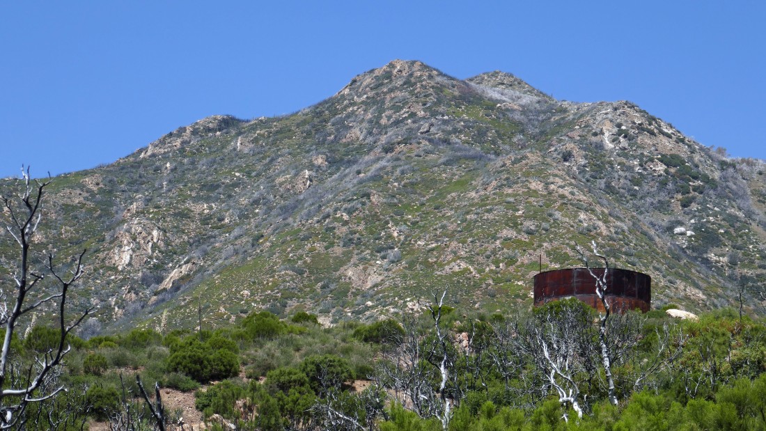
Less than a mile from the car... looking up at Spitler Peak... one of several water tanks on the Fobes Ranch property is in the foreground.
|
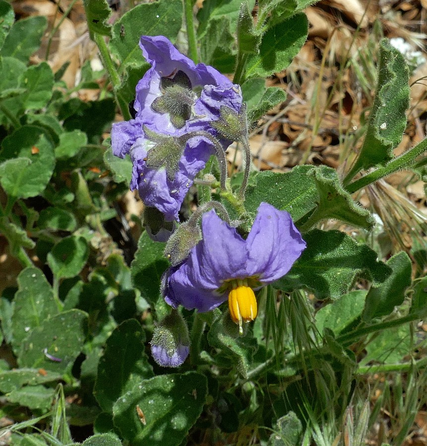
Silver-leaf Nightshade.
|
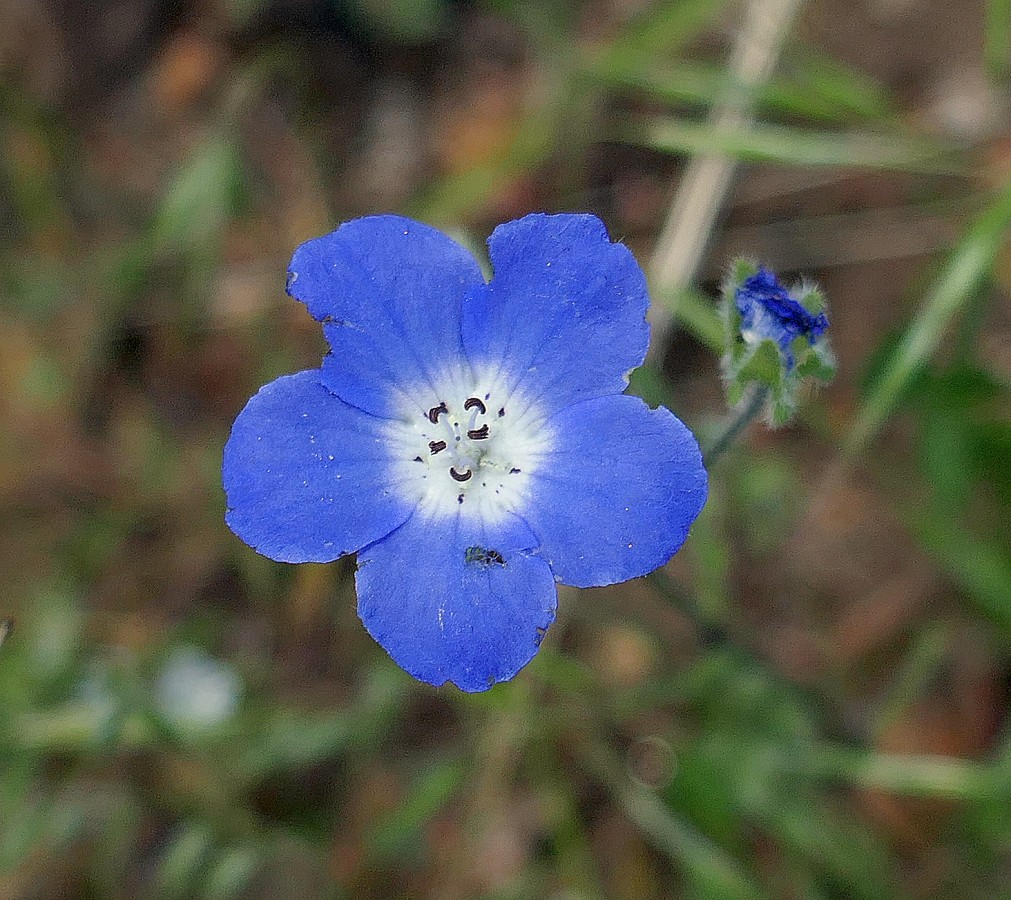
Blue Flax... I think.
|
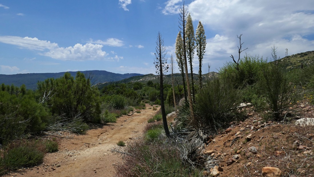
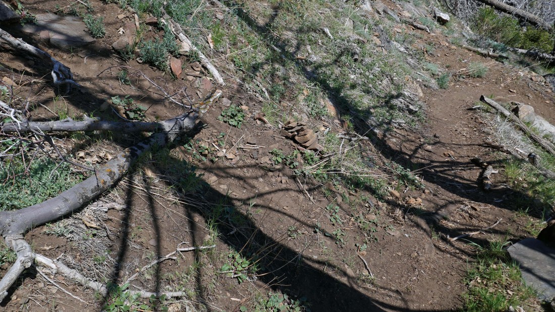
The beginning quarter mile of the Fobes Saddle Trail is on an abandoned road.
|
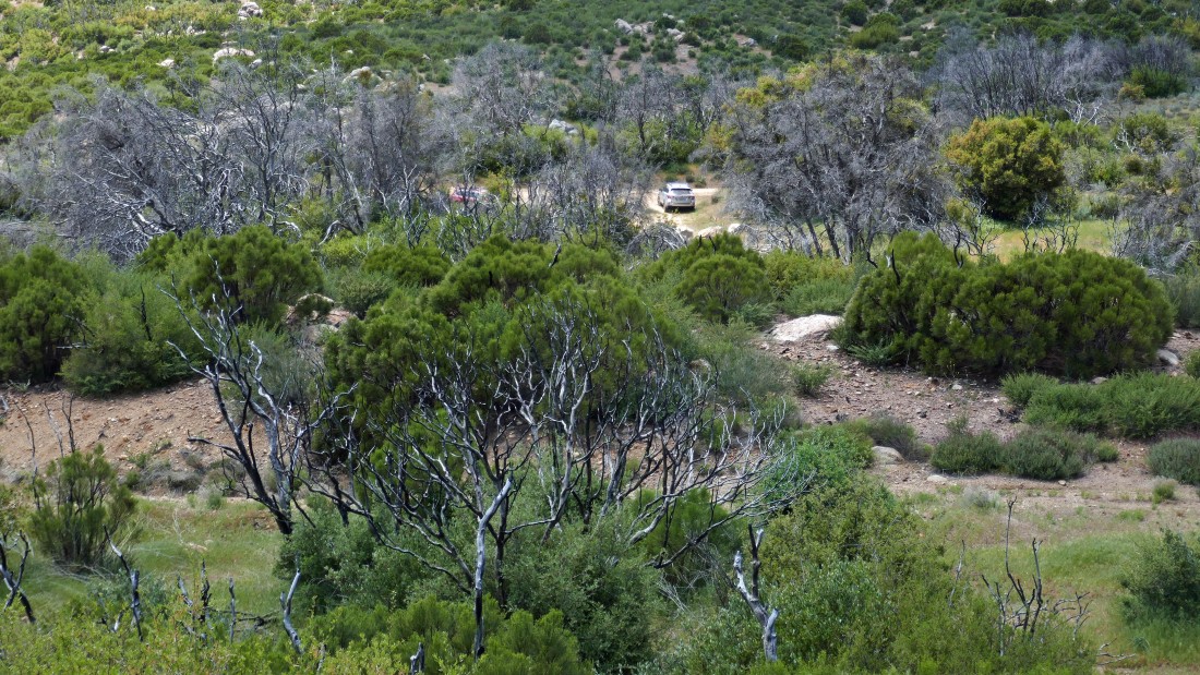
The car is a stone's throw away... the hike was 8.2 miles, gaining 2447 feet of elevation.
|
