Tahquitz Peak and Point 8042 - 5.17.2020
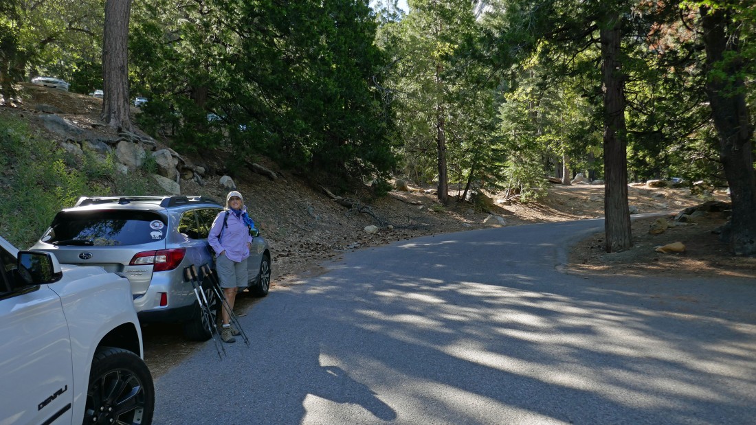
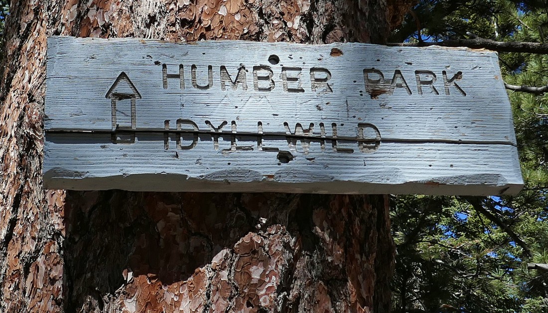
We parked in Humber Park in the town of Idyllwild, California... nice to be able to park at 6500 feet... on pavement!
|
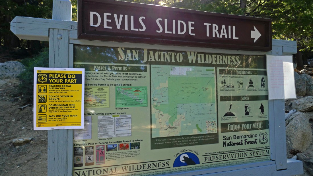
The Devils Slide Trail is the most popular trailhead in the area... a special parking pass is required... and a hiking permit is required... we gambled and had neither one.
|
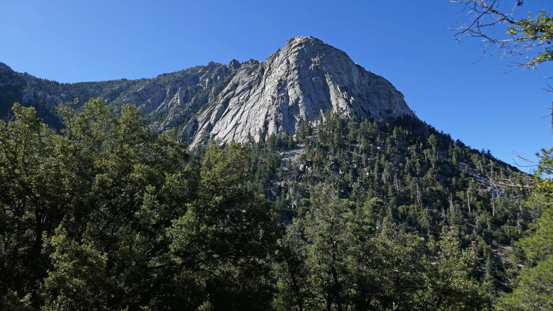
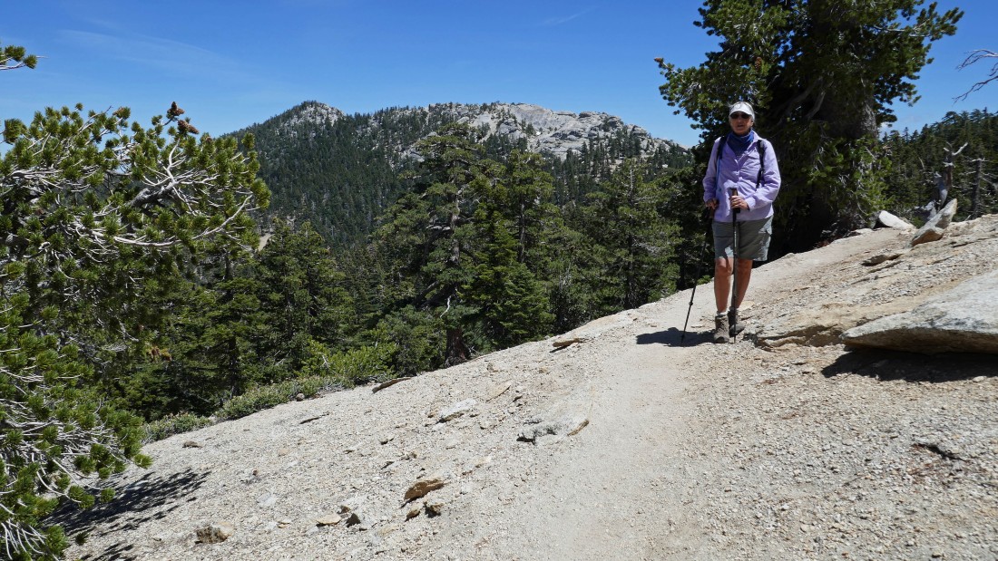
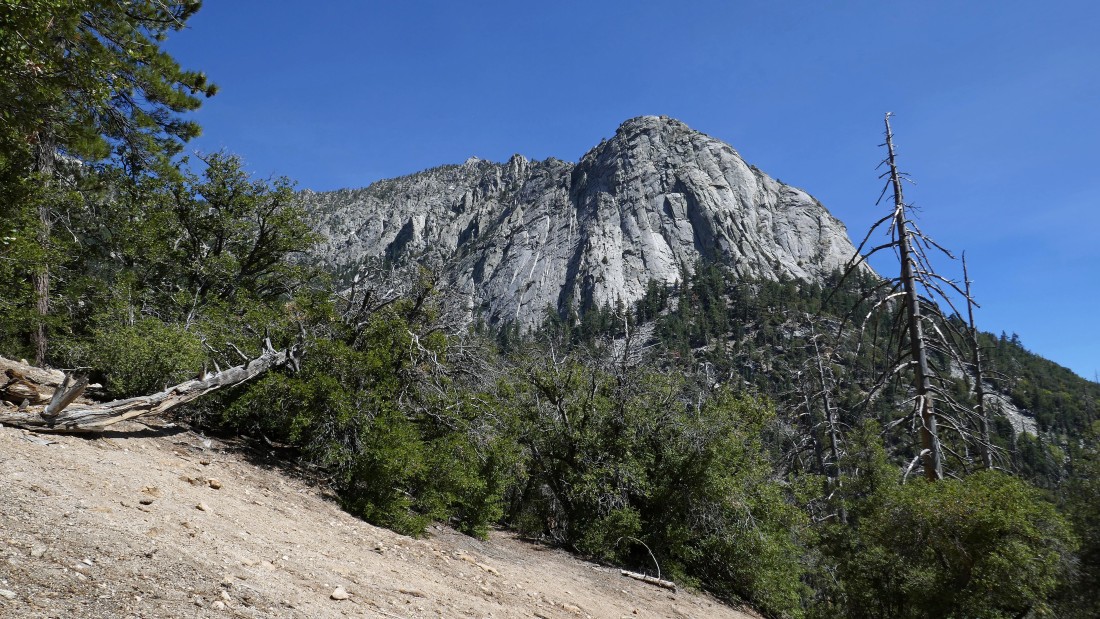
We hiked a very short distance and got this view of Lily Rock... a popular rock climbing place.
|
Continuing to gain elevation on the Devils Slide Trail... looking across Strawberry Valley to Suicide Rock... another popular rock climbing place.
|
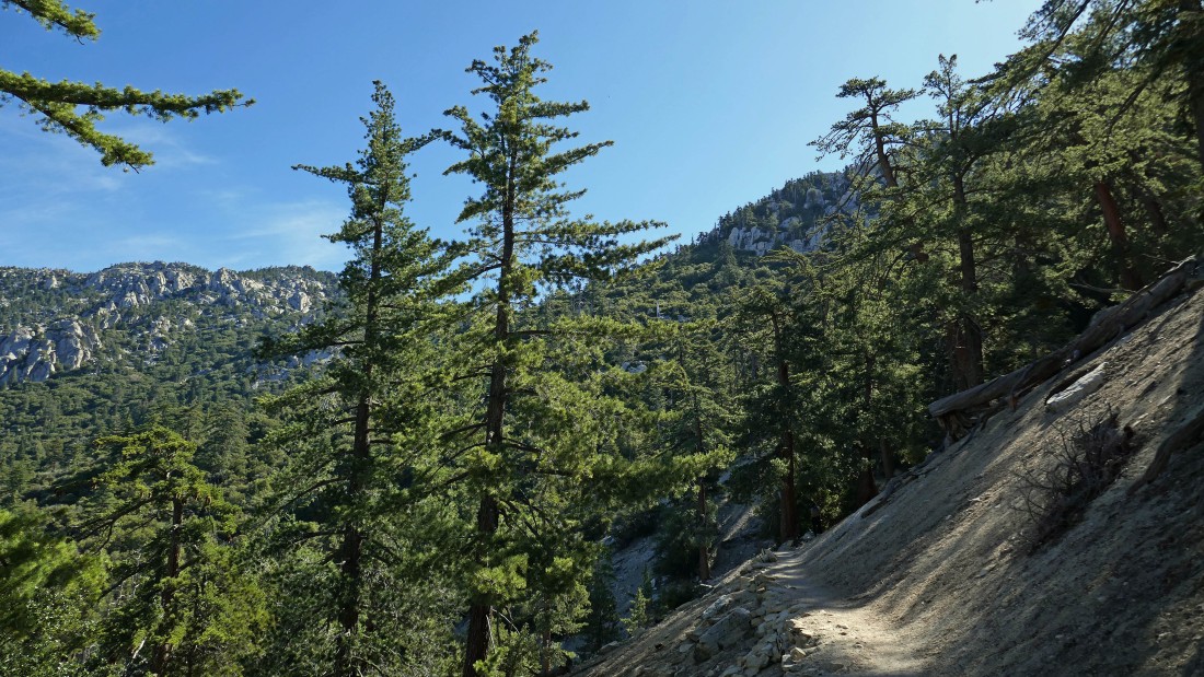
The Devils Slide Trail is in great shape... very nicely graded... and takes hikers up to Saddle Junction.
|
Nearing Saddle Junction on the Devils Slide Trail.
|
Nearing Saddle Junction... looking down Strawberry Valley... past Suicide Rock to the town of Idyllwild.
|
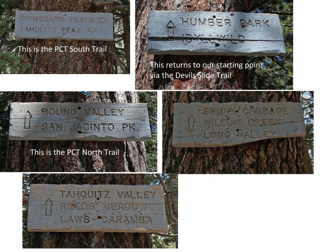
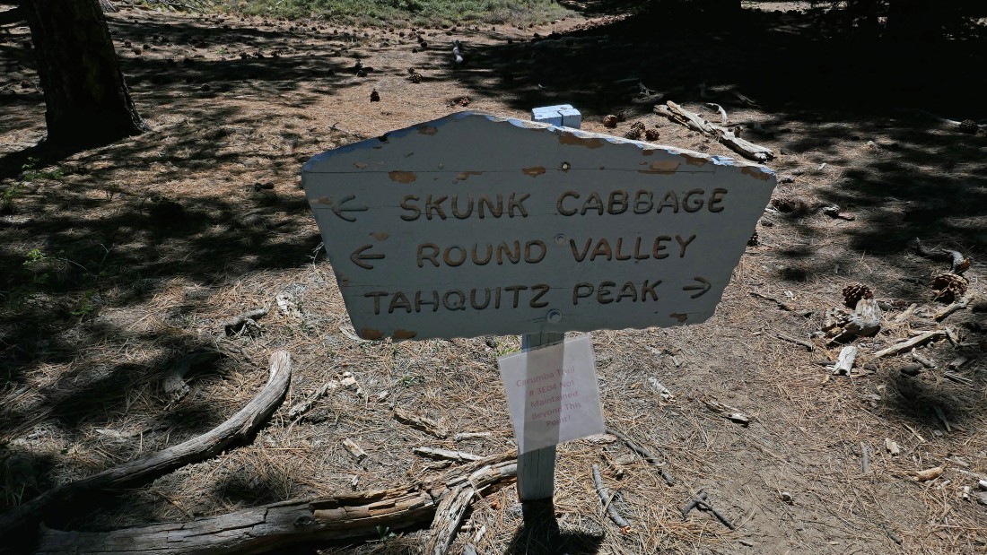
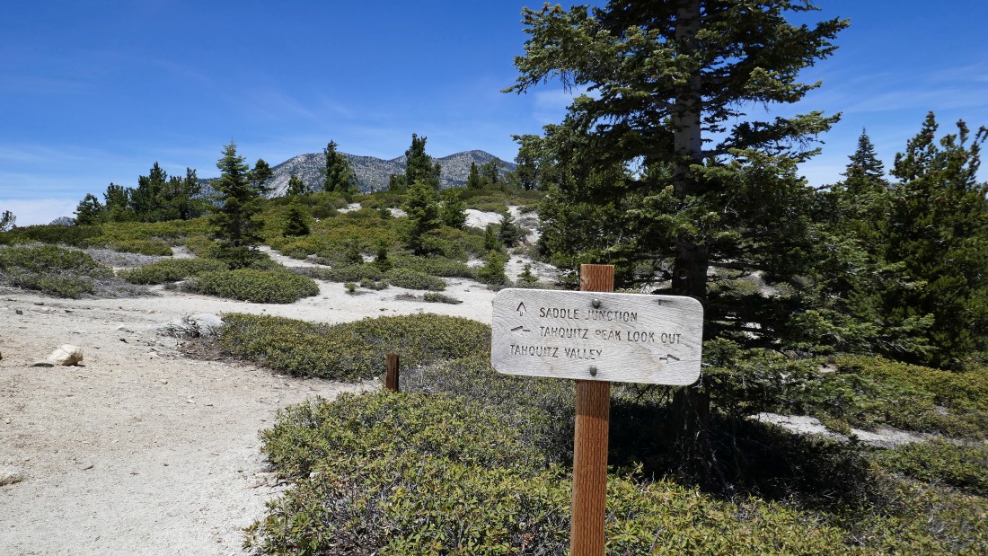
After hiking 2.7 miles on Devils Slide Trail we have reached Saddle Junction (8100')... appropriately named with 5 options for hikers to continue hiking on.... we will take the Caramba Trail to Point 8042 before going up to Tahquitz Peak.
|
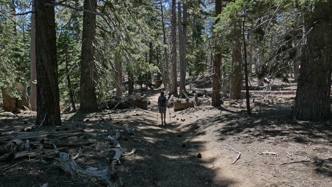
Hiking slightly downhill on the Caramba Trail... looking for Point 8042.
|
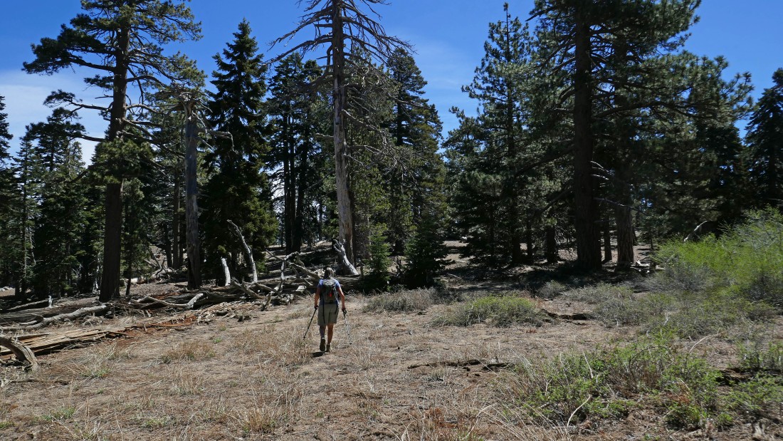
After hiking 3.3 miles we have left the Caramba Trail and are heading east on simple terrain toward Point 8042.
|
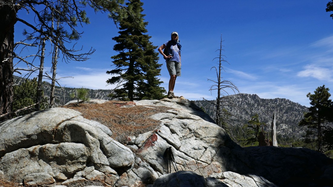
After hiking 3.4 miles Denali Girl is standing on Point 8042... with somewhat limited views.
|
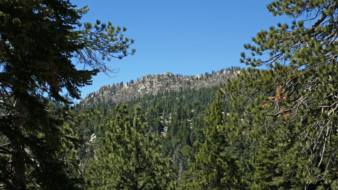
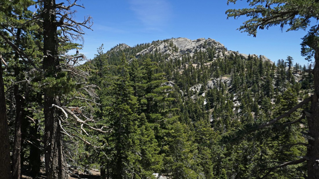
From Point 8042 we can see Tahquitz Peak through an opening in the trees.
|
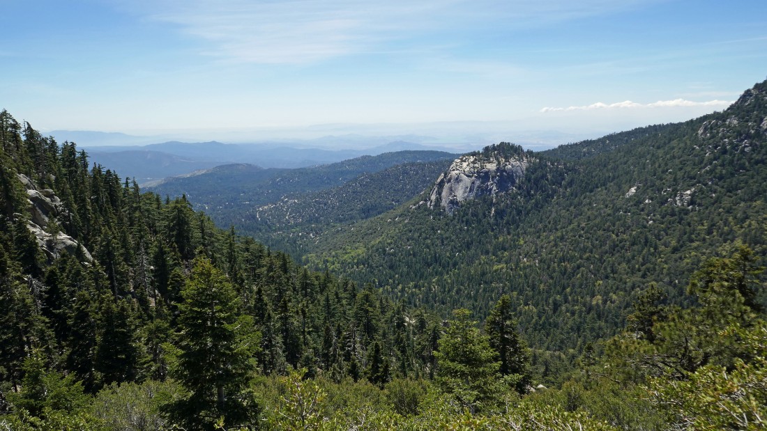
The high peaks of the San Jacinto Mountains in the left center of the photo.
|
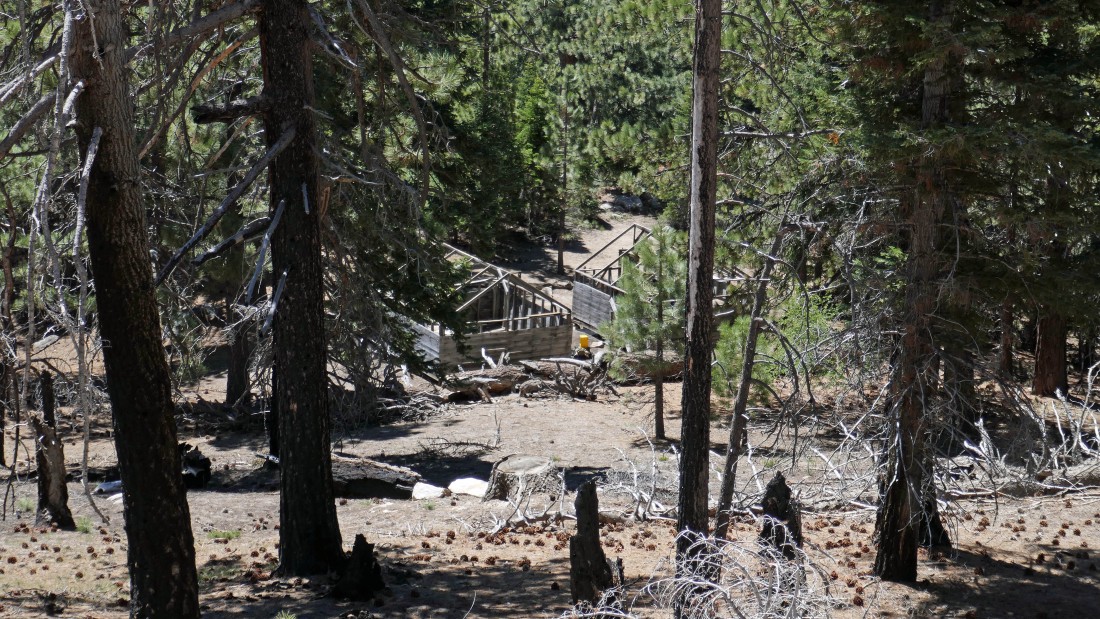
Leaving Point 8042 we looked down on two cabins in Tahquitz Valley.
|
After hiking 3.7 miles we have reached the junction of the Caramba Trail and Tahquitz Valley Trail... we will head for Tahquitz Valley on our way up to Tahquitz Peak.
|
|
Tahquitz Valley... with Grey Tahquitz (8792') on the horizon.
|
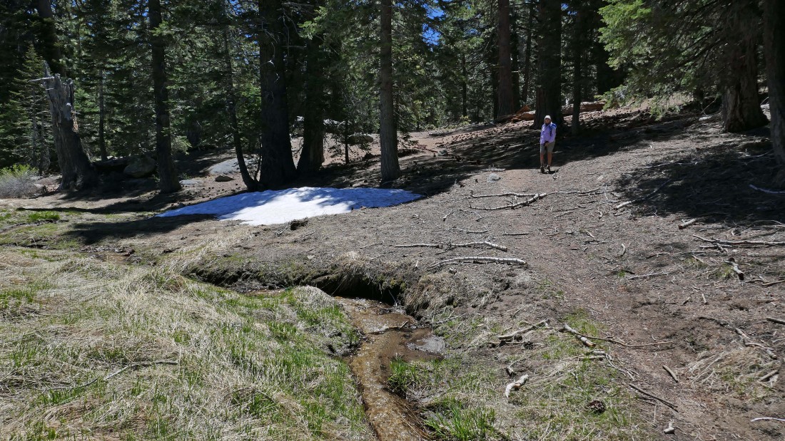
Crossing Tahquitz Creek (7900') that runs down Tahquitz Valley.
|
Tahquitz Valley... with Grey Tahquitz (8792') in the distance.
|
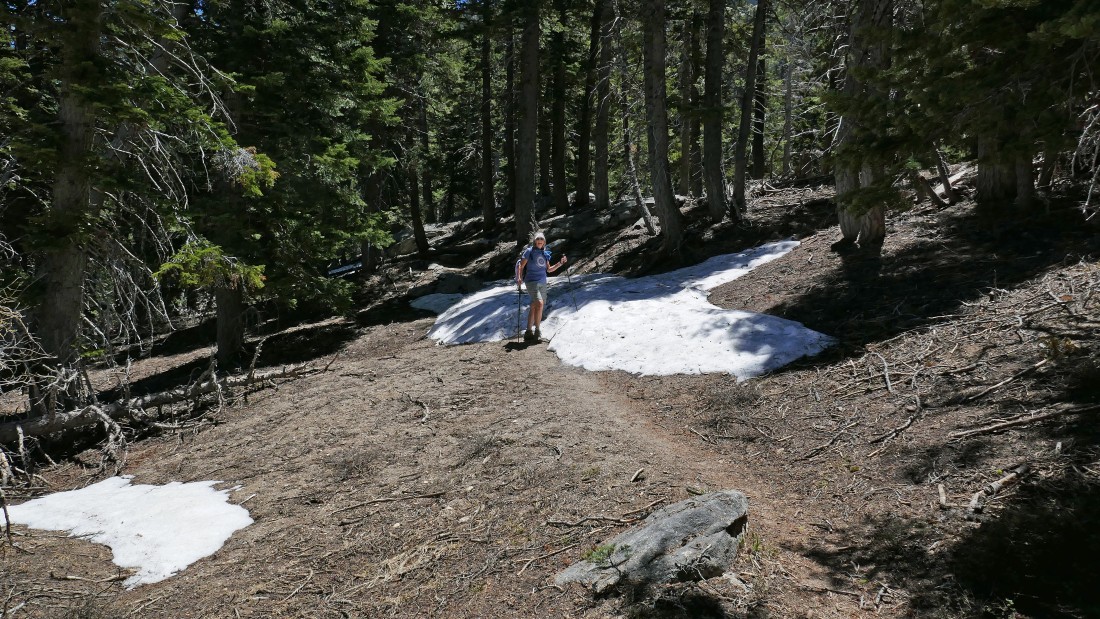
Denali Girl hikes across one of the few snow patches that we encountered.
|
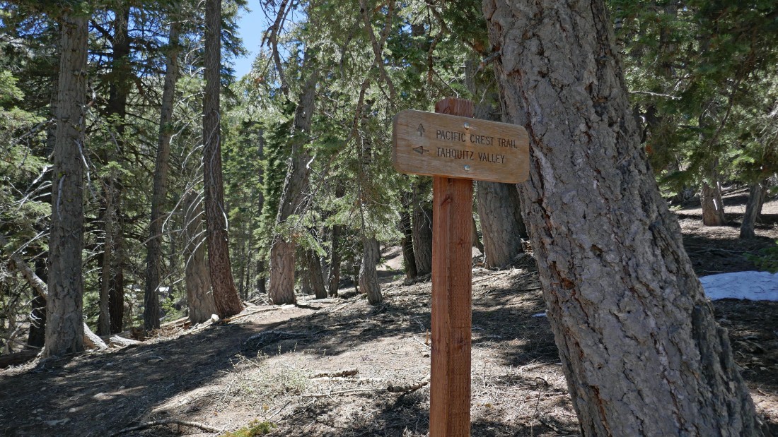
After hiking 4.5 miles we have reached the junction (8400') of the Tahquitz Valley Trail and the Pacific Crest Trail... now we will be hiking on the PCT for awhile.
|
Gaining elevation on the PCT and looking up at Grey Tahquitz.
|
After hiking 5.4 miles we have reached the junction of the PCT and the half-mile connector trail that leads over to Tahquitz Peak and the lookout.
|
On the Tahquitz Peak connector trail... looking down Strawberry Valley to Lily Rock in the left center foreground... and further down to Suicide Rock... with the high peaks of the San Jacinto Mountains on the right horizon.
|
On the Tahquitz Peak connector trail... looking back on the far right where we left the PCT... and out to the high peaks of the San Jacinto Mountains on the left.
|
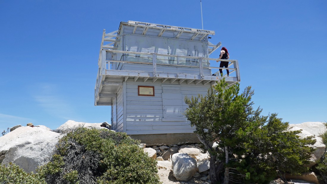
After hiking 5.8 miles we have reached the lookout and summit (8846') of Tahquitz Peak.
|
|
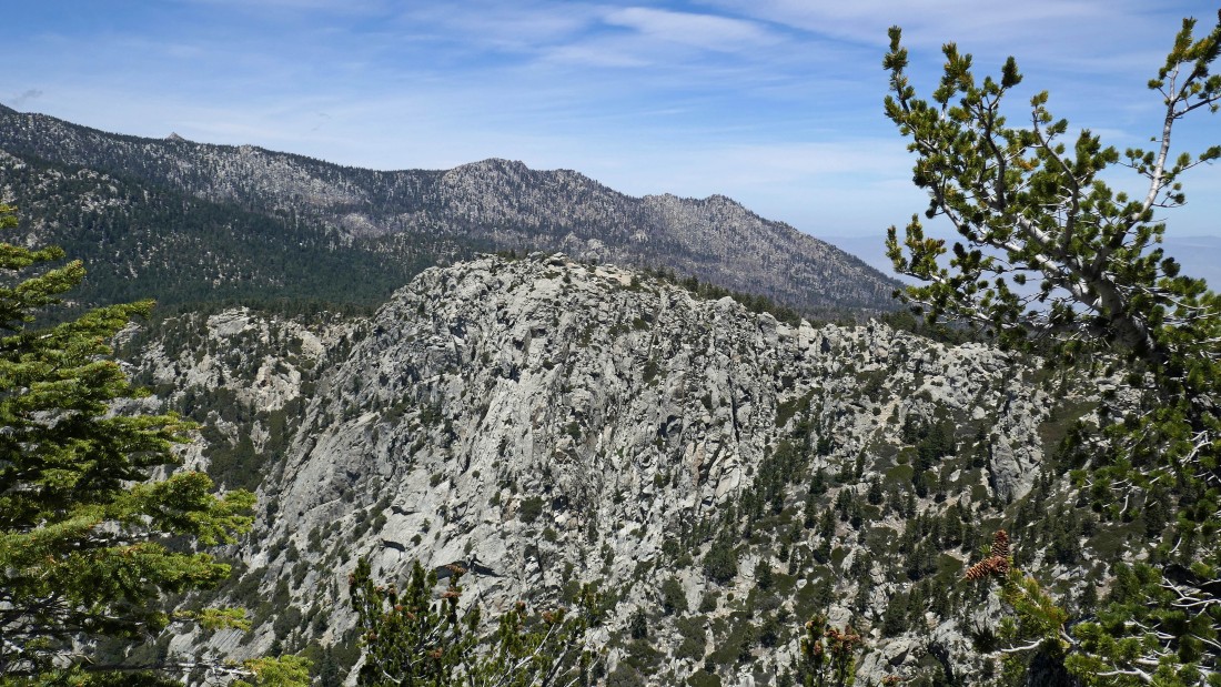
Looking straight out the east ridge of Tahquitz Peak in the center of the photo... and south along the San Jacinto Mountains to the Santa Rosa Mountains on the far right horizon.
|
Looking south to Lake Hemet, Garner Valley and Thomas Mountain in the center of the photo... with the Santa Rosa Mountains on the left horizon... a 2017 fire has charred the area in the foreground.
|
Looking north from the lookout to the 10,000 foot high peaks of the San Jacinto Mountains (Marion, Jean and San Jacinto).
|
Looking west down Fern Valley and Strawberry Valley to the town of Idyllwild.
|
Back on the Tahquitz Peak connector trail... heading back to reconnect with the Pacific Crest Trail.
|
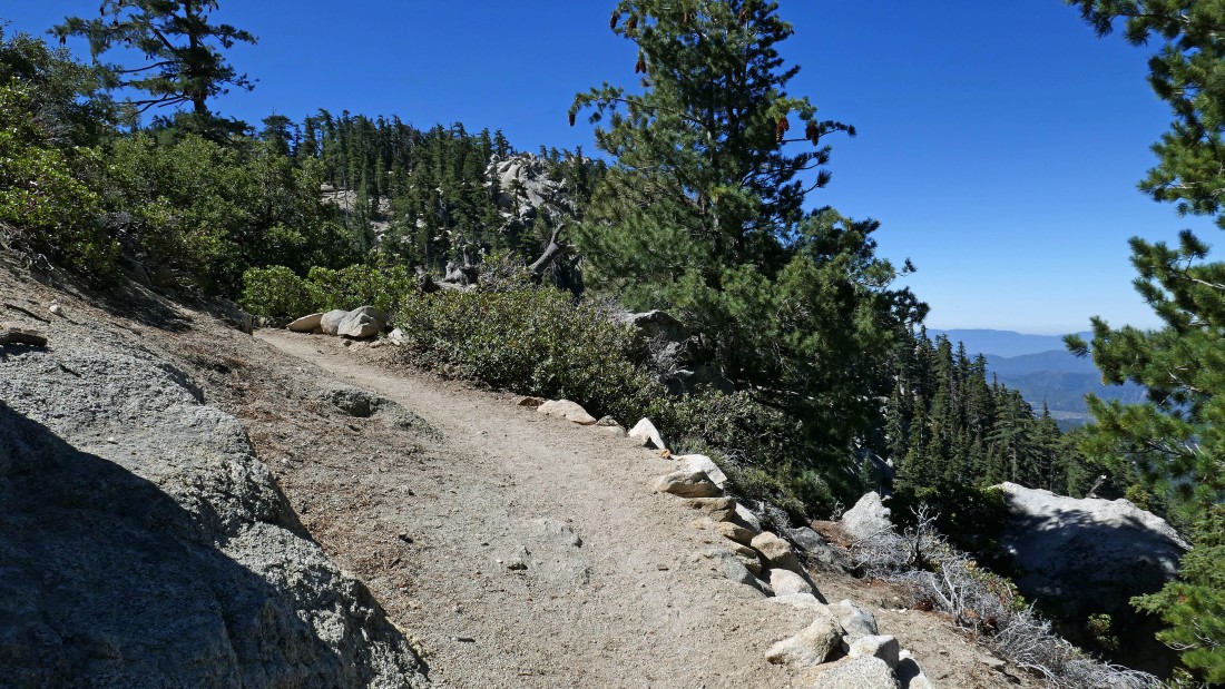
After hiking 6.2 miles we are back on the PCT and heading north for Saddle Junction to close the loop portion of our hike.
|
After hiking 7.7 miles we are back at Saddle Junction... time to head back down to Humber Park on the Devils Slide Trail.
|
Heading for the car on the Devils Slide Trail... looking down Strawberry Valley to Suicide Rock.
|
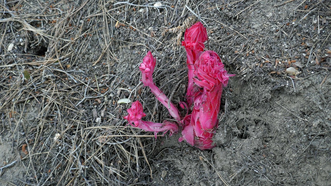
This was not a flower hike... but there were several Snow Plants... scientific name is Sarcodes.
|
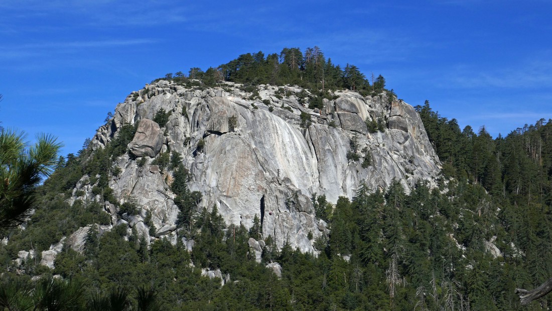
Almost back to the car... with this being the best view we had all day of Lily Rock... the hike was 10.4 miles, gaining 2742 feet of elevation.
|
