Grinnell Mountain - 5.21.2020
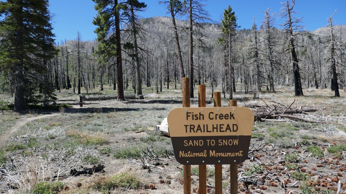
We parked at the Fish Creek Trailhead after turning onto Forest Service Road 1N02 off of California Hwy 38 and driving 7.5 miles to the trailhead... a high clearance vehicle is recommended for road 1N02.
|
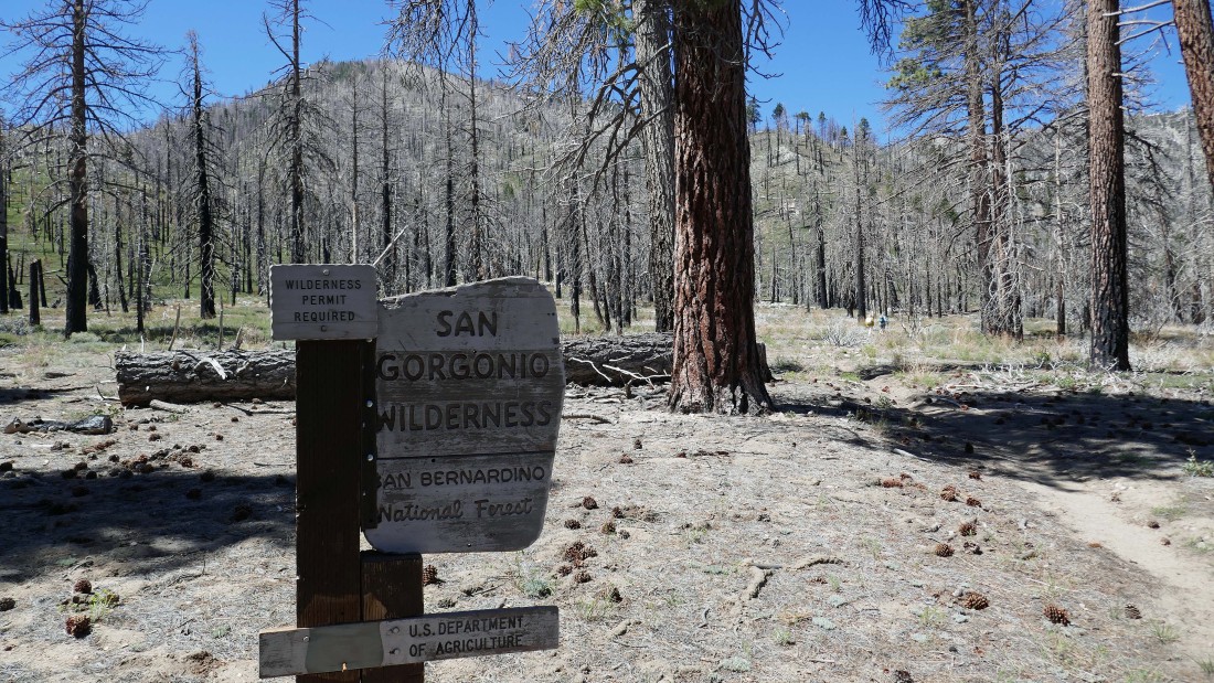
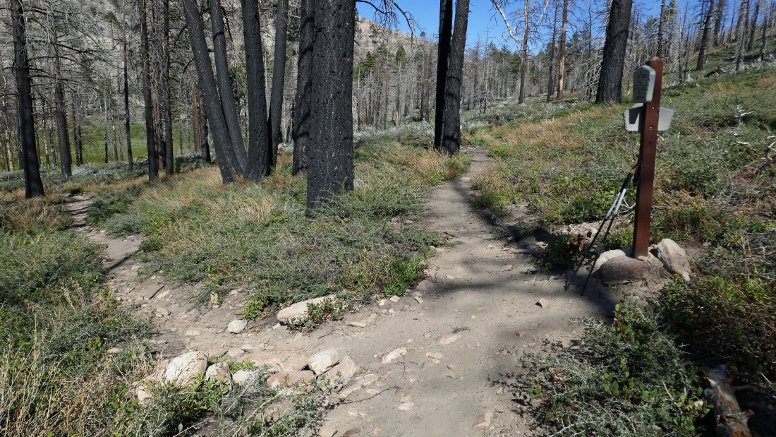
After hiking less than 50 yards we left the 'Sand to Snow National Monument' and entered the San Gorgonio Wilderness.
|
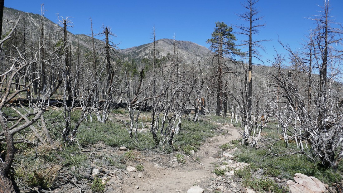
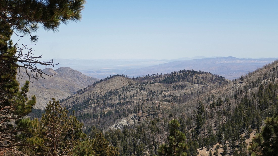
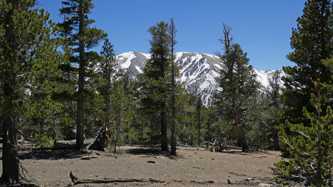
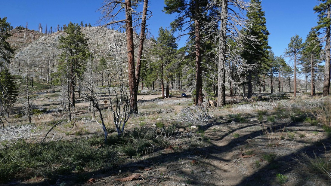
After hiking the Fish Creek Trail for less than a quarter mile we can see Grinnell Mountain on the center horizon in the photo... with Fish Creek Saddle being the 'V' to the left of the mountain... we did not realize this at the time I took the photo.
|
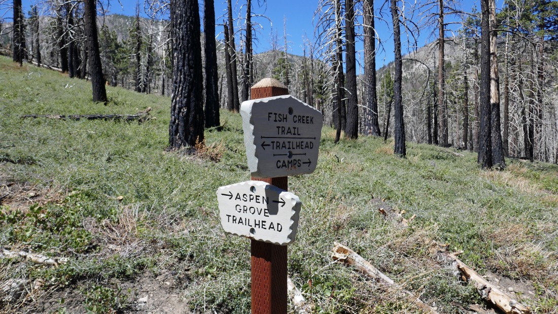
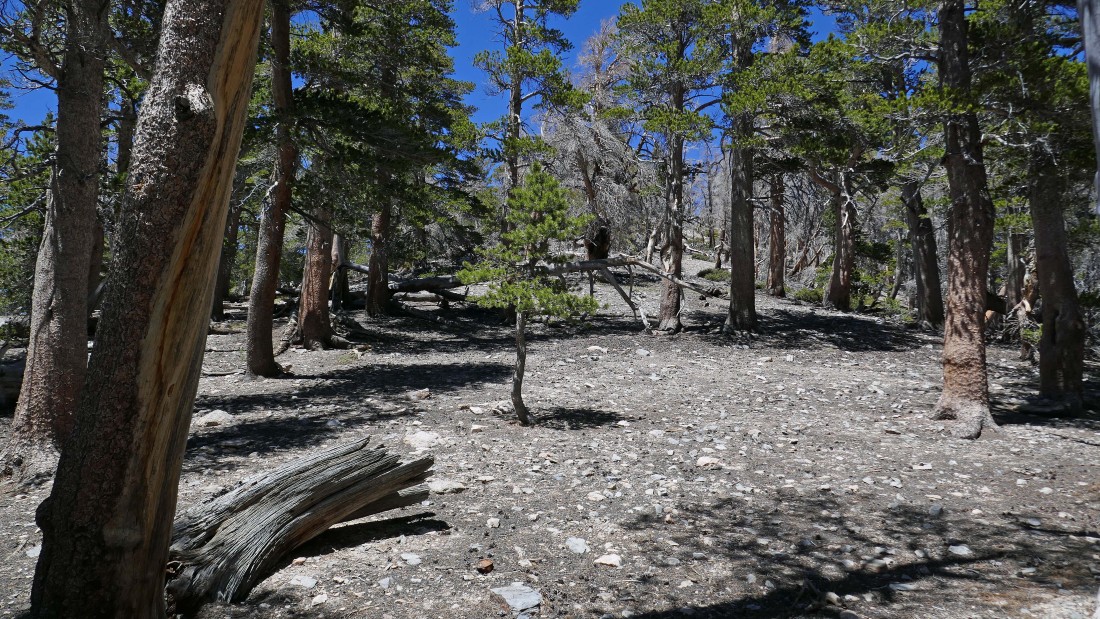
After hiking .7 miles we reached the junction with the Aspen Grove connector trail... but we will continue on the Fish Creek Trail.
|
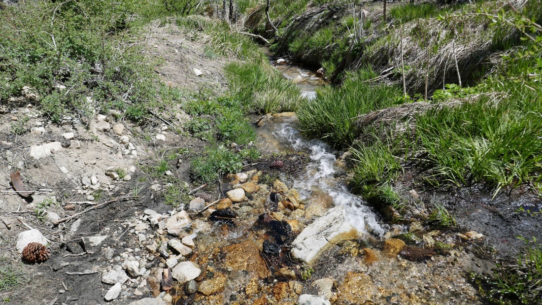
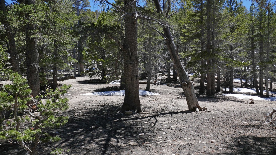
After hiking .9 miles we made the first crossing of Fish Creek at Fish Creek Meadows.
|
Fish Creek Meadows is a huge meadow... more than a half mile in length... Grinnell Mountain is in the distance on the right... with Fish Creek Saddle to the left of Grinnell.
|
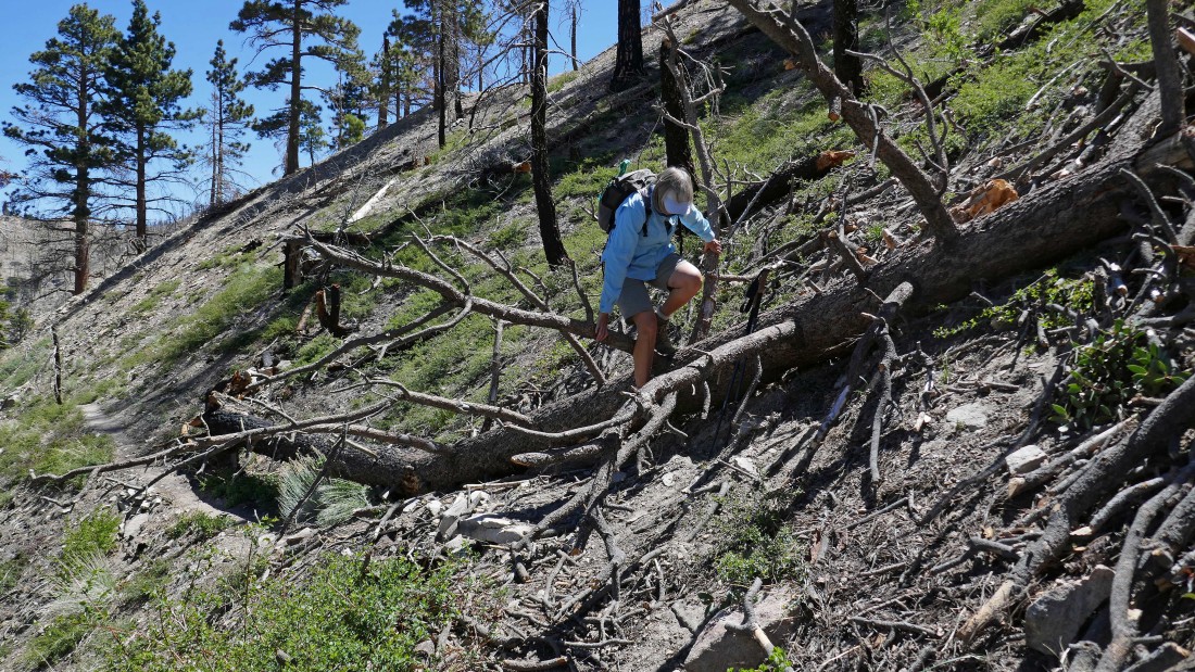
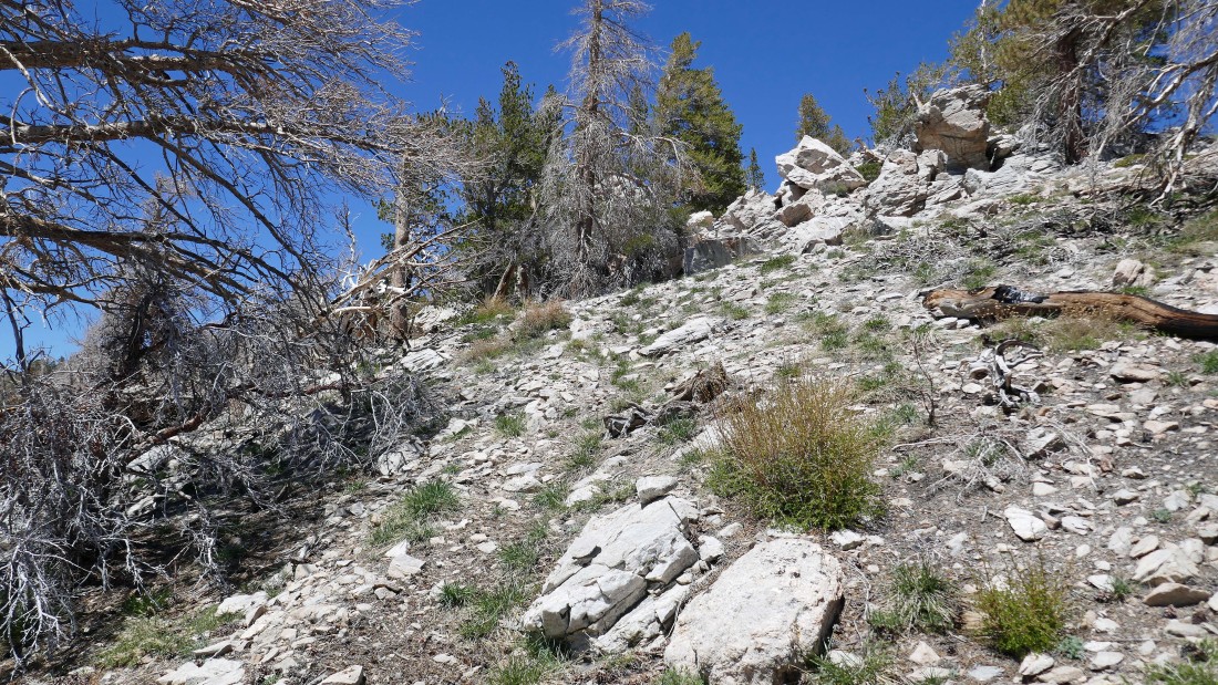
There were 10-12 obstacles to deal with on the trail... but they were easy to deal with.
|
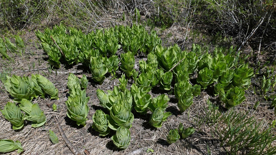
Lush skunk cabbage in Fish Creek Meadows.
|
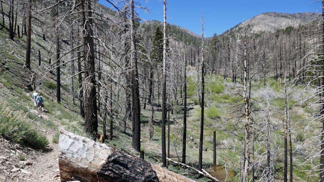
After hiking 2.4 miles we are starting to climb above Fish Creek Meadows on the nicely graded Fish Creek Trail... and the views improve with every step up.
|
Gaining elevation on the Fish Creek Trail... we can actually see beyond the mountains to the hazy valley beyond.
|
|
Still gaining elevation on the Fish Creek Trail... looking across Fish Creek Valley to Ten Thousand Foot Ridge (10,094')... kind of a strange name for a peak, but it is the high point at the west end of the two mile long Ten Thousand Foot Ridge.
|
Continuing on the Fish Creek Trail on the way to Fish Creek Saddle (out of frame on the far right)... Ten Thousand Foot Ridge on the left and Fish Creek Peak (9942') on the right.
|
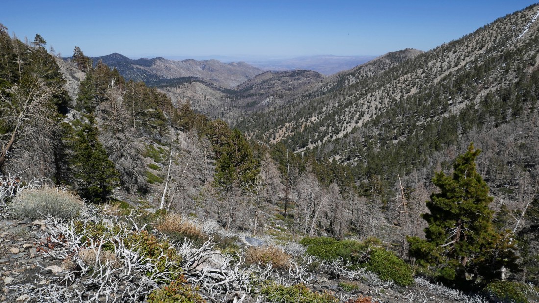
Looking down the Fish Creek drainage and beyond to the hazy valley.
|
Gaining elevation on the Fish Creek Trail... looking down the Fish Creek drainage to mountains in the San Bernardino National Forest... with Ten Thousand Foot Ridge on the far right.
|
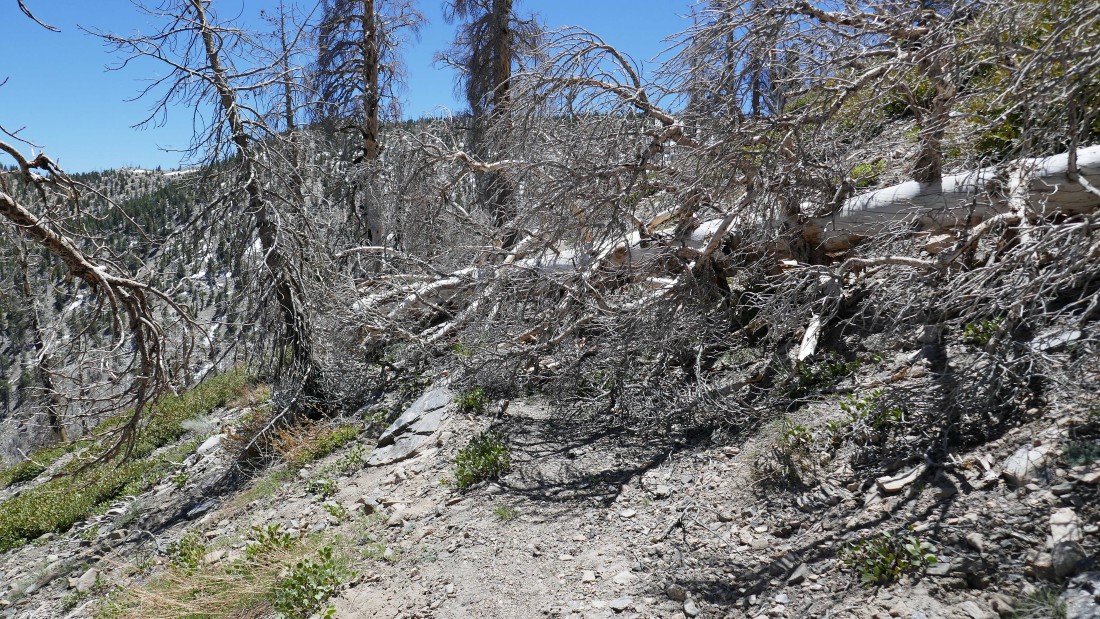
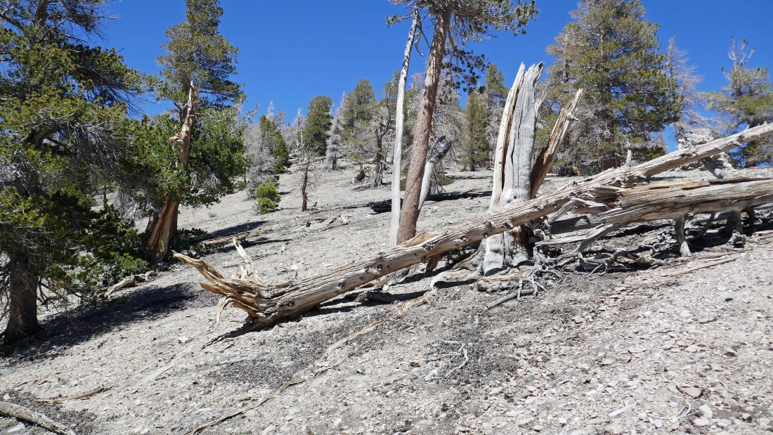
One of several obstacles on the Fish Creek Trail.
|
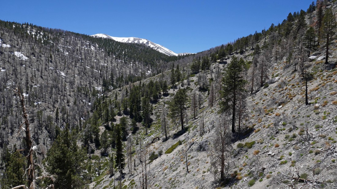
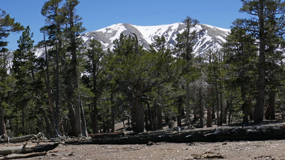
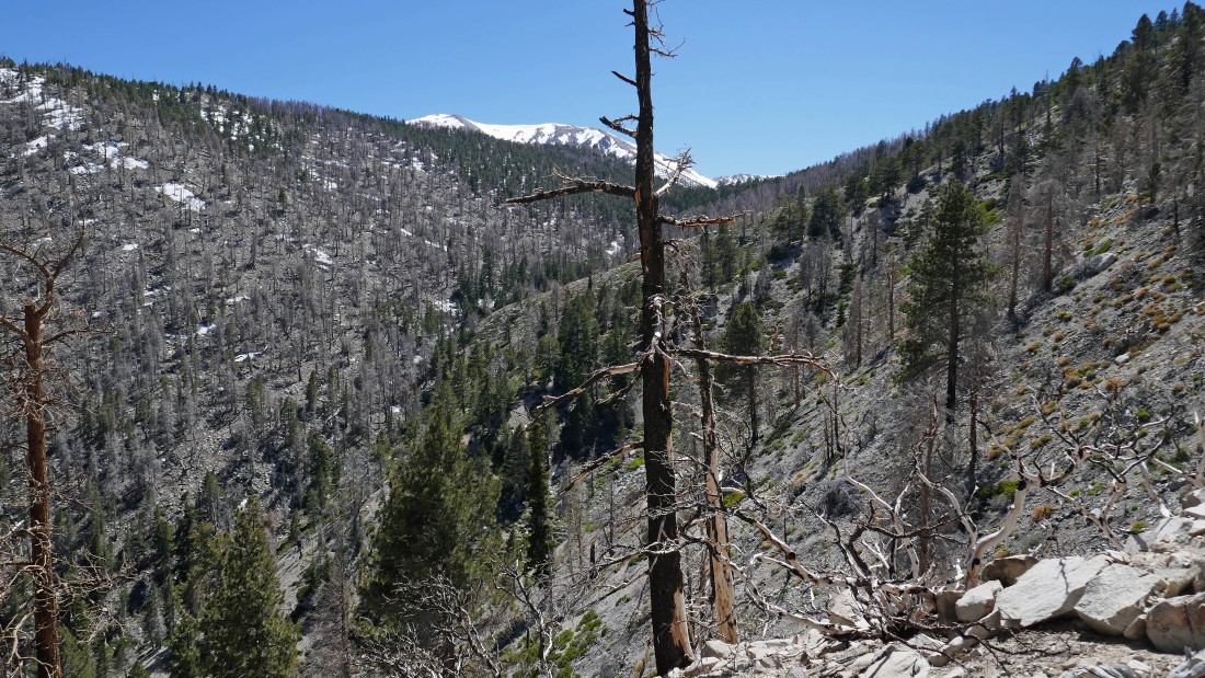
After hiking 4.4 miles I got my first view of the snow covered San Gorgonio Mountain... with Fish Creek Saddle in the center of the photo.
|
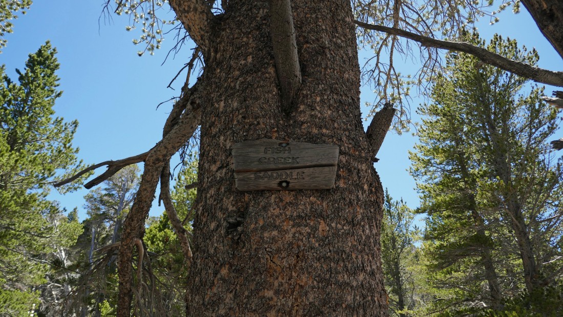
After hiking 5 miles I have reached Fish Creek Saddle (9800').
|
There were no views from Fish Creek Saddle.
|
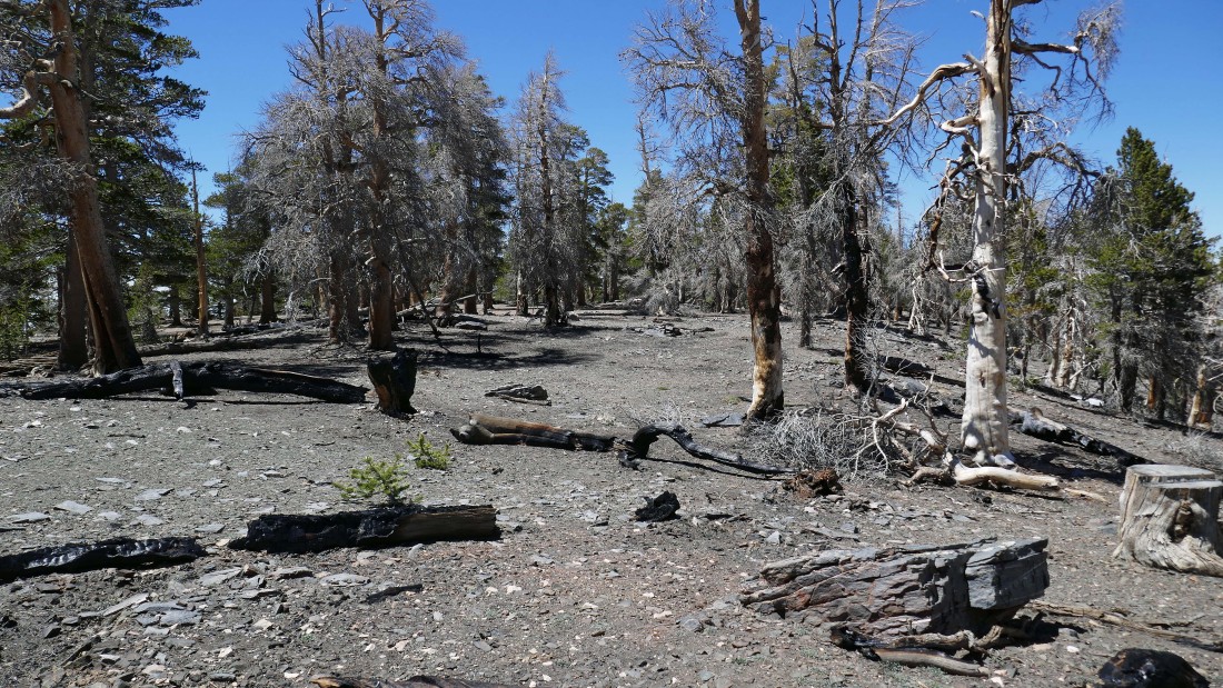
Heading north from Fish Creek Saddle on very easy terrain... looking for the summit of Grinnell Mountain.
|
Heading for the summit of Grinnell Mountain... bypassing this rock outcropping for now... but I will check it out on my return from the summit.
|
Continuing to gain elevation on my way to the Grinnell Mountain summit.
|
San Gorgonio Mountain (11,503') as I continue toward the Grinnell Mountain summit... little did I know that this would be the best view of San Gorgonio on this hike.
|
The summit area of Grinnell Mountain... the summit is supposed to be out there on the left, but the little bump on the right looks a little higher... so I will check it out.
|
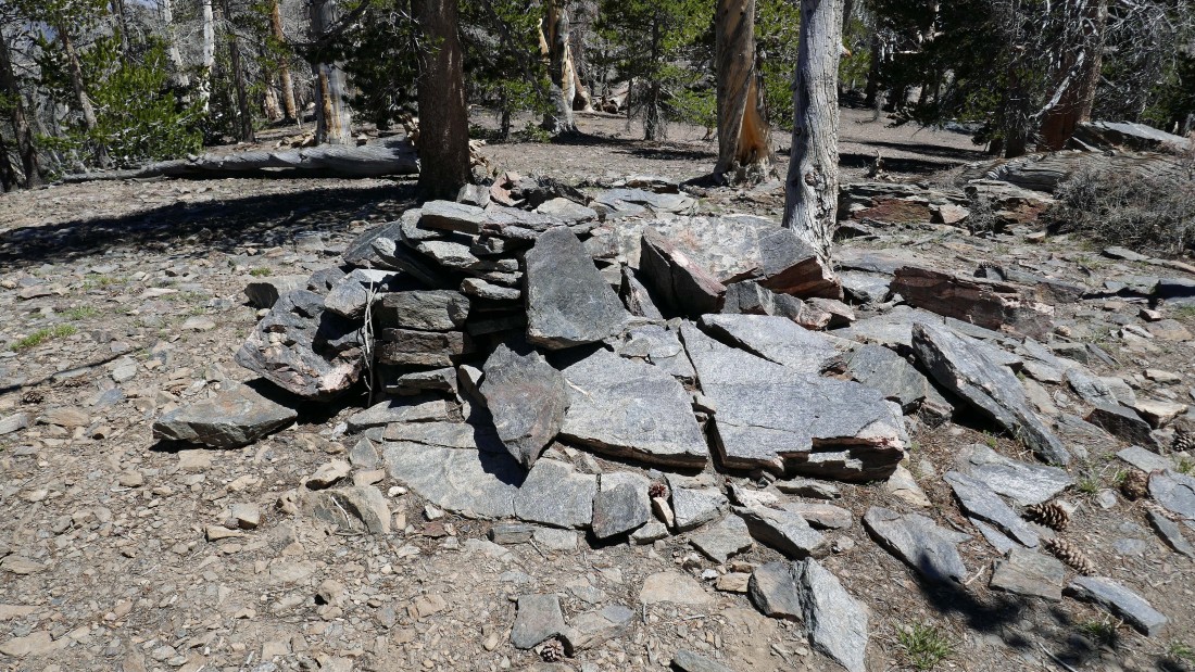
A good sized cairn on the southeast bump... but no summit register... so I guess I will continue north to see what I can find at the summit benchmark shown on the map.
|
The best view I could get of San Gorgonio from the southeast summit bump.
|
Hiking north on the huge summit area of Grinnell Mountain to see what I can find on what is supposed to be the true summit.
|
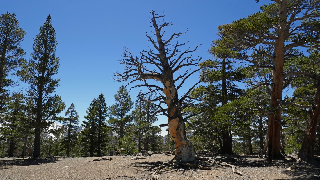
After hiking 5.8 miles I found this twisted tree that is located at what is supposed to be the true summit (10,284') of Grinnell Mountain.
|
The best view of San Gorgonio Mountain that I could get from what is supposed to be the true summit of Grinnell Mountain.
|
Heading back down to Fish Creek Saddle I scrambled up the rock outcropping that I had bypassed on the way to the Grinnell summit... and got a pretty good look at San Gorgonio Mountain.
|
Tracing my steps back to the car... looking down the Fish Creek drainage.
|
Continuing back down the Fish Creek Trail... looking back across Fish Creek Saddle to my last view of San Gorgonio Mountain.
|
Looking back at Ten Thousand Foot Ridge on the left... and Fish Creek Peak on the right.
|
Passing by the huge Fish Creek Meadows.
|
After hiking 10.7 miles I have returned to the junction of the Fish Creek Trail and the Aspen Grove connector trail... .7 miles of hiking will get me back to the car.
|
After hiking a total of 11.4 miles and gaining 2505 feet of elevation I will hook up with Denali Girl and Star Dancer for the drive back to Palm Springs.
|
