North Paulina Peak - 6.19.2020
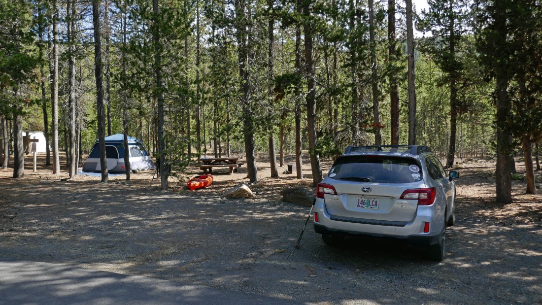
We parked at an unamed trailhead in the Cinder Hill Campground at East Lake... there are actually two trailheads in the Cinder Hill Campground... so we picked the one just beyond the second boat ramp in the campground.
|
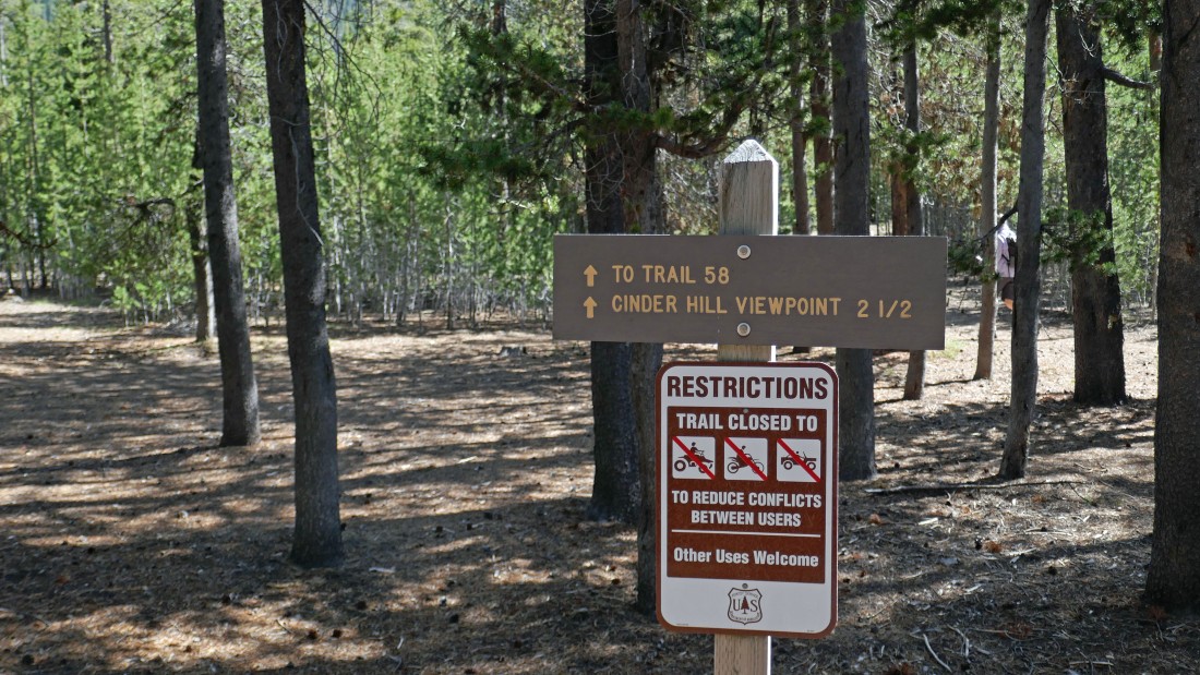
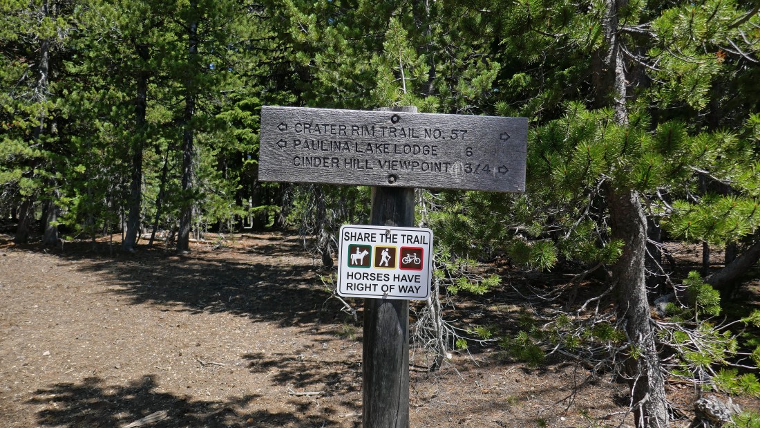
There is a trail sign where we parked, however it doesn't really have a name... it is more of a connector trail to Newberry Crater Trail #3958 (aka #58).
|
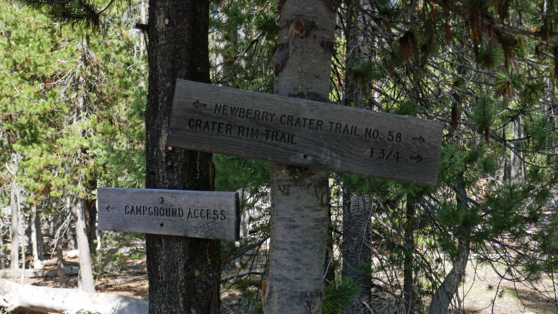
After hiking one tenth of a mile on the connector trail we reached Newberry Crater Trail #3958... where we will head north toward the Crater Rim Trail.
|
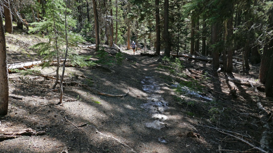
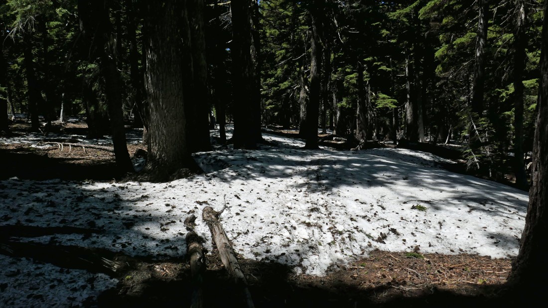
There were only a handful of snow patches on the way up to the Crater Rim Trail.
|
After hiking 1.9 miles we have reached the trail junction with Crater Rim Trail #3957 (aka #57)... where we will head west on the Crater Rim Trail.
|
It didn't take very long to hit fairly continuous snow patches on the Crater Rim Trail.
|
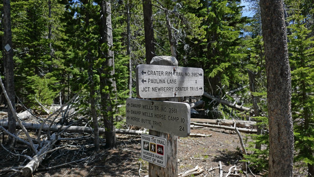
After hiking 3.6 miles we reached the trail junction with Swamp Wells Trail #3961... but we will continue on the Crater Rim Trail.
|
After hiking a total of 3.8 miles I got my first fairly open view... I didn't realize it at the time, but the treed summit on the left is North Paulina Peak.
|
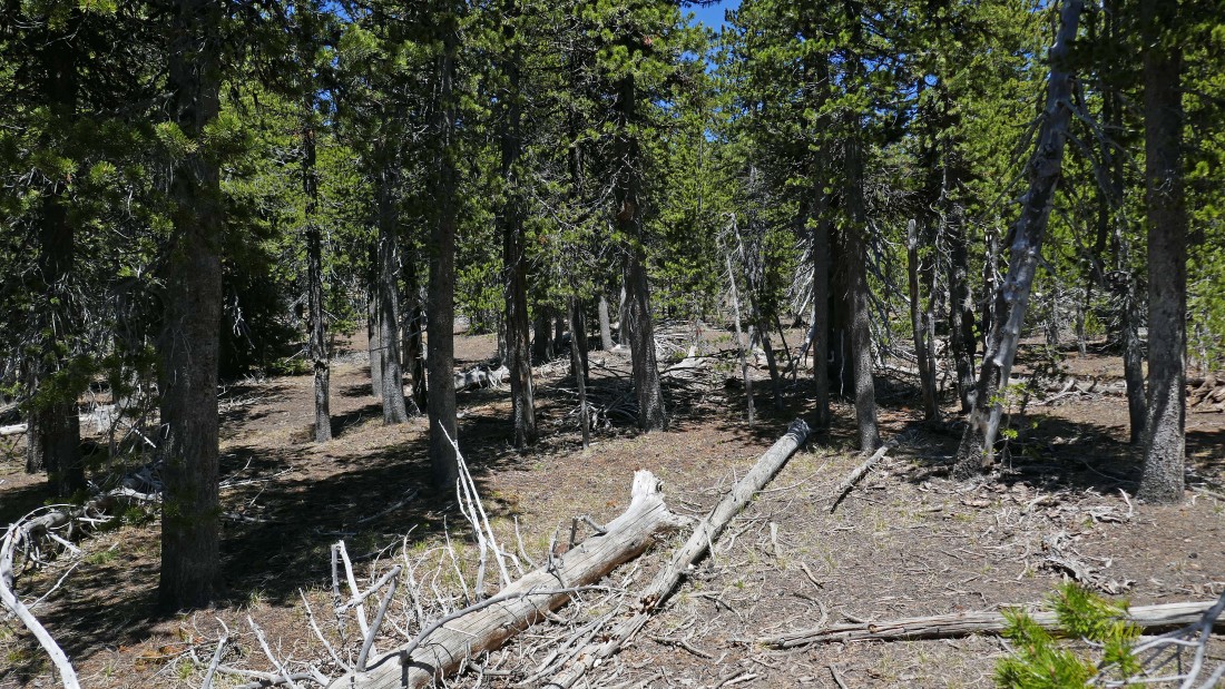
I have left the Crater Rim Trail and heading cross country in open forest for the North Paulina Peak summit.
|
Nearing the summit of North Paulina Peak... hoping to get some open views on top.
|
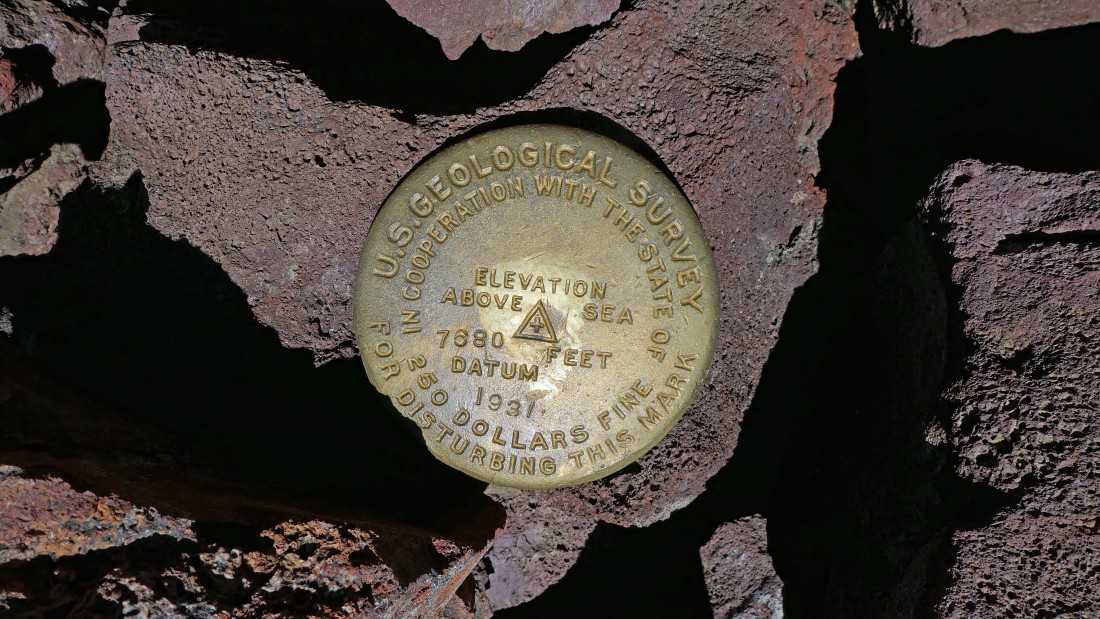
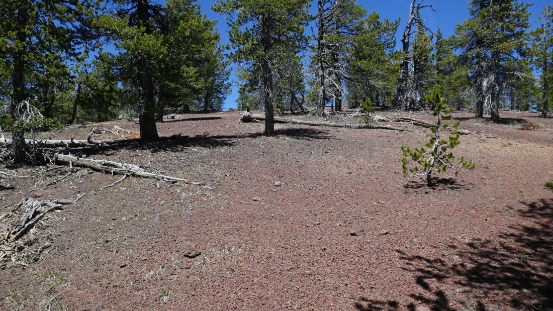
After hiking 4.4 miles I have reached the summit (7686') of North Paulina Peak.
|
Very limited views from the summit of North Paulina Peak... here looking NW to Mt. Bachelor on the left... with Three Sisters and Broken Top through the trees.
|
Looking north from the summit of North Paulina Peak to Mount Jefferson.
|
Looking east from the summit of North Paulina Peak to more of the treed Paulina Mountains.
|
Looking south from the North Paulina Peak summit to Paulina Peak in the center of the photo... we will trace our steps back to our car... the hike was 8.6 miles, gaining 1491 feet of elevation.
|
