Scott Mountain, Benson Lake, Hand Lake and Scott Lake - 7.3.2020
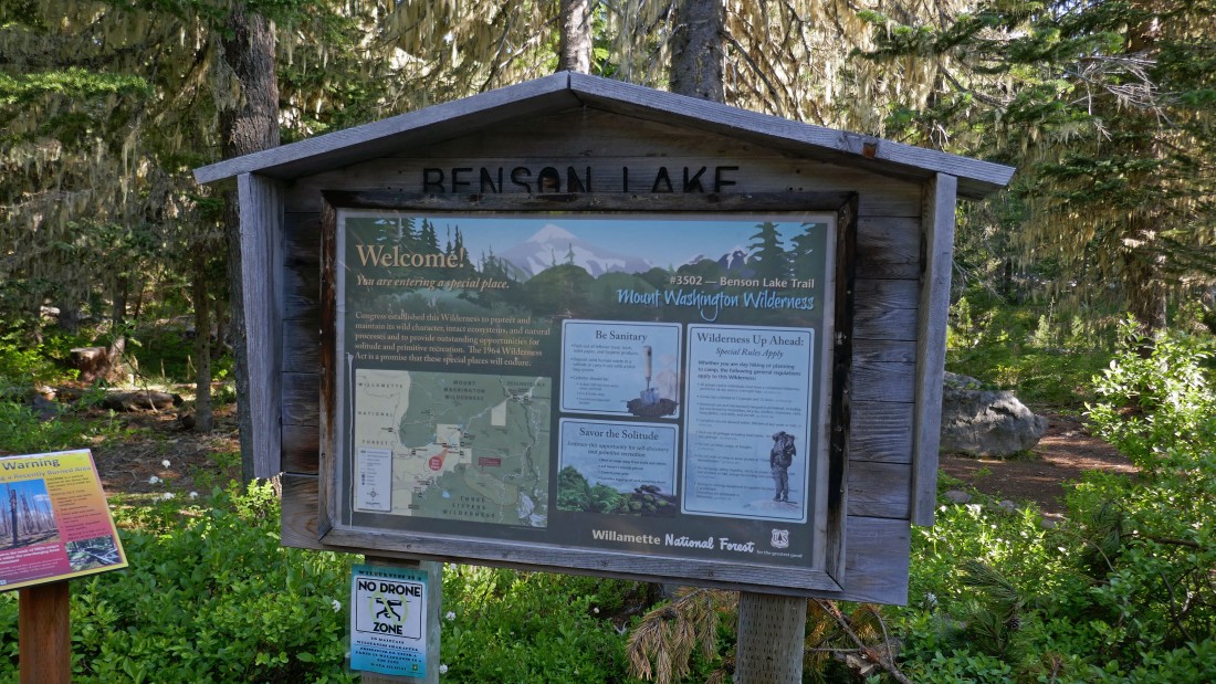
Six miles west of McKenzie Pass on Hwy 242... turn onto FS-260 and drive it past Scott Lake Campground to the end of the road at the Benson Lake Trailhead #3502.
|
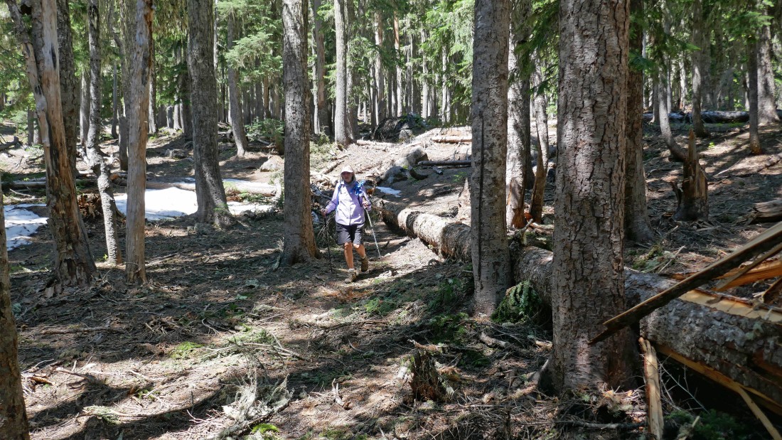
After hiking in the forest for 1.5 miles we reached Benson Lake.
|
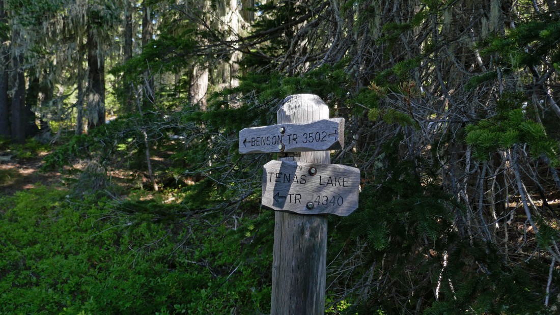
After hiking 2.5 miles we reached the turnoff for Tenas Lakes... but we stay on the Benson Lake Trail.
|
There were lots of potholes and tarns along the Benson Lake Trail... at this one we did get a look at Scott Mountain on the horizon.
|
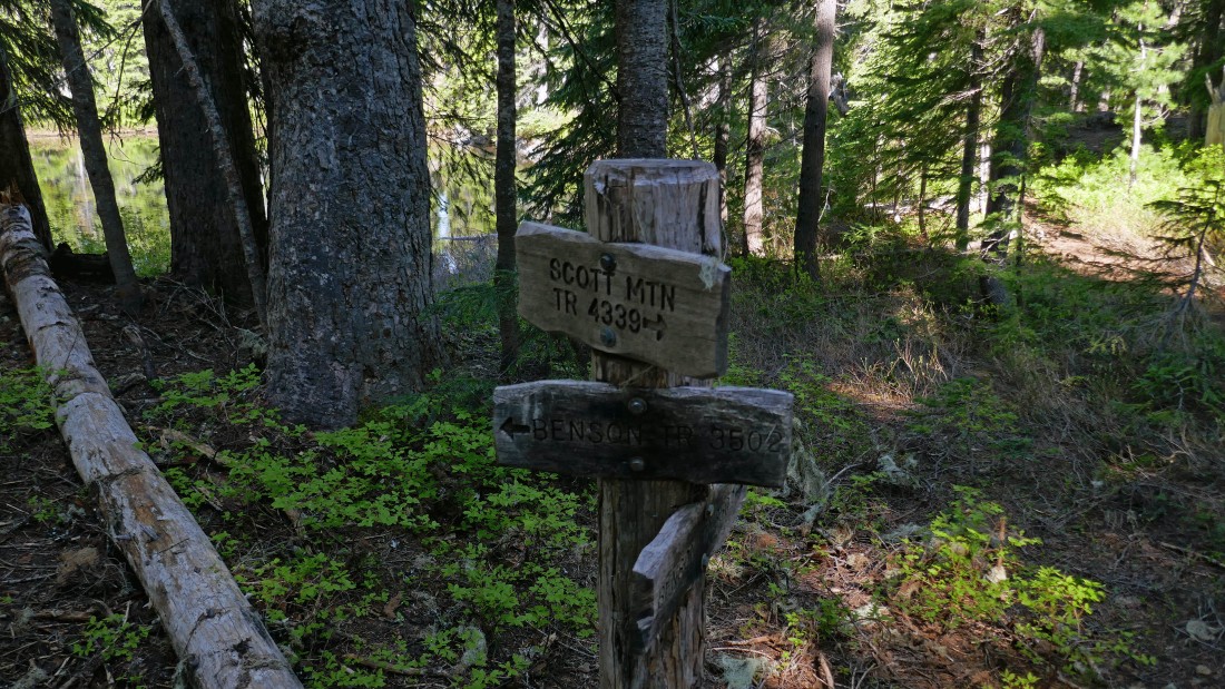
After hiking 2.8 miles we will leave the Benson Lake Trail and start hiking on Scott Mountain Trail #4339.
|
|
Occasionally we got a peak at the summit of Scott Mountain.
|
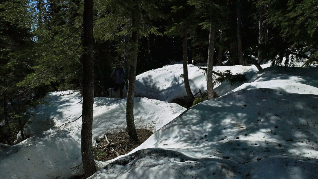
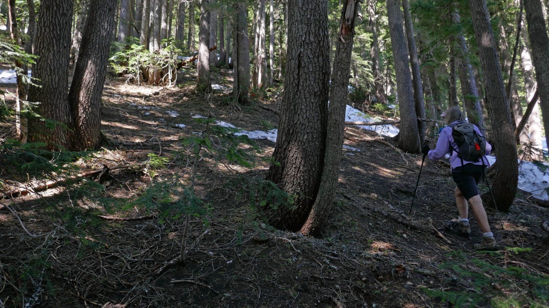
On the east side of Scott Mountain we started to encounter snow... making it more difficult to follow the trail although old foot prints did help some.
|
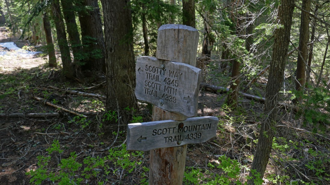
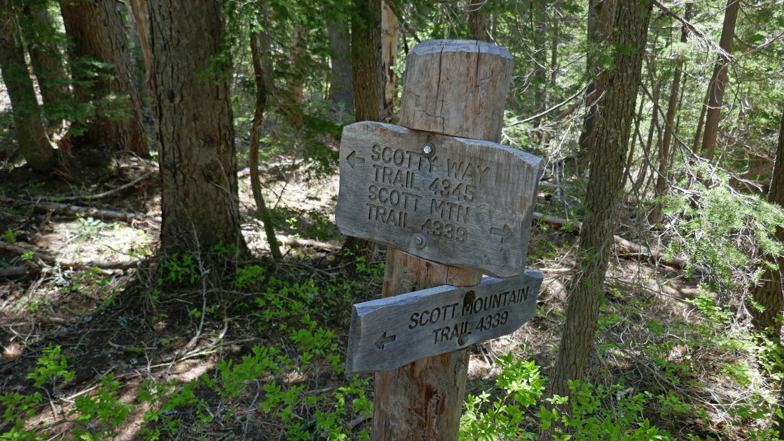
After hiking 3.6 miles we reached the junction of the Scott Mountain Trail #4339 and Scotty Way Trail #4335... we will continue on the Scott Mountain Trail to see if it will get us up to the summit... then return to this Scotty Way trail junction to continue our lakes loop.
|
After hiking 3.8 miles we lost the Scott Mountain Trail and decided to head cross-country for the Scott Mountain summit.
|
Almost on the summit of Scott Mountain... with the Three Sisters in the distance.
|
|
After hiking 4 miles we are on the summit (6116') of Scott Mountain... with the Three Sisters and The Husband on the horizon... we can also see Scott Lakes (center) and Benson Lake (right).
|
A closer look at Three Sisters... North Sister on the left... Middle Sister... and South Sister on the right.
|
Looking west from the very broad summit of Scott Mountain.
|
Still on the summit of Scott Mountain... looking NNE to Black Crater on the right... NE to Belknap Crater in the center foreground... with Mt. Washington the pinnacle in the center of the photo... and north to Three Fingered Jack in front of a snow covered Mt. Jefferson in the distance on the left.
|
A closer look at Jefferson and Three Fingered Jack on the far left... and Mt. Washington on the far right.
|
We have left the summit of Scott Mountain... and after hiking 4.3 miles we have returned to the trail junction for Scotty Way... now we will take the Scotty Way Trail over to the Hand Lake Trail.
|
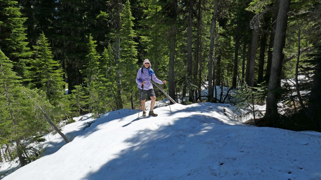
We got on the Scotty Way Trail at ~5760 feet... we won't get off of snow until we get down near 5300 feet... and this section of trail took some time because we had no foot prints to follow in the snow... making for slow travel.
|
Finally off of the snow and on dirt trail again.
|
Still on the Scotty Way Trail... hiking through part of the 2017 Milli Fire... it destroyed 24,000 square miles of forest... requiring 675 firefighters at its peak.
|
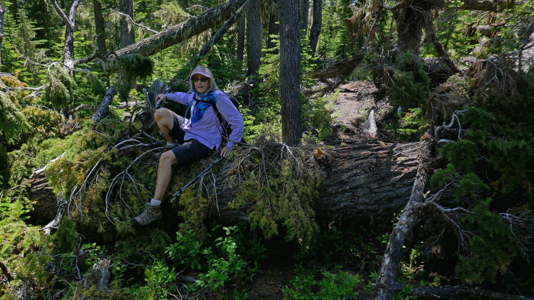
The Scotty Way Trail doesn't get a lot of use and there were quite a few down trees across the trail.
|
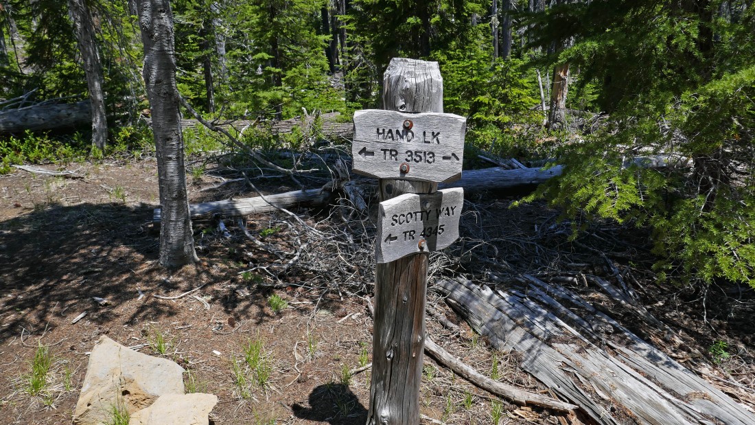
After hiking 6.3 miles we have reached the junction with Hand Lake Trail #3513... which we will follow south back to our car at the Benson Lake Trailhead.
|
Shortly after getting on the Hand Lake Trail we started hiking south along a lava flow that we hiked along for more than a mile... the lava did a nice job of clearing out the forest so we could get fairly constant views of the Three Sisters.
|
After hiking 7.9 miles we reached the north end of Hand Lake at the southern end of the lava flow... with Middle Sister and South Sister on the horizon.
|
After hiking 9.1 miles we reached the north end of Scott Lake.
|
After hiking 9.5 miles we reached the west side of Scott Lake... another .3 miles of hiking will get us back to our car... the hike was 9.8 miles, gaining 1558 feet of elevation.
|
