Kaleetan Butte - 7.10.2020
|
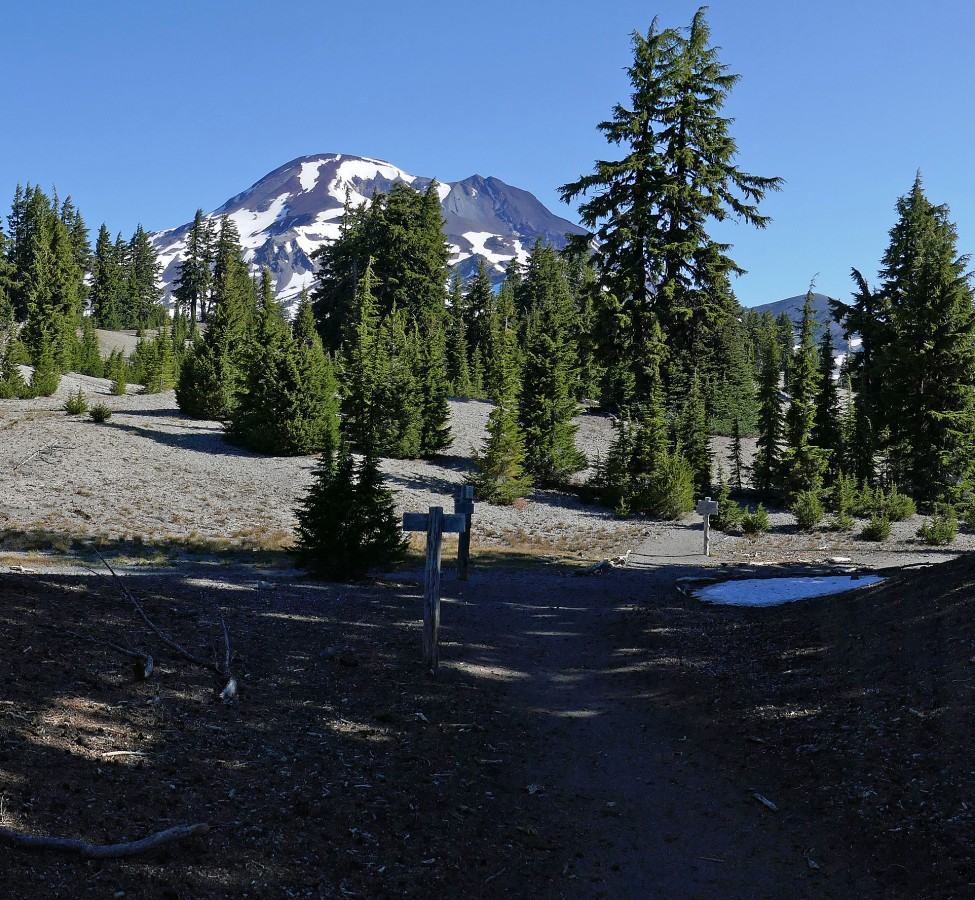
This photo was taken from the entrance to the Devils Lake Trailhead... a turn off of the Cascade Lakes Hwy. Kaleetan Butte (today's target) is in the left foreground and Devils Hill is in the right foreground. South Sister is on the horizon between them... and the South Sister Climber Trail #36 goes up between the two bumps.
|
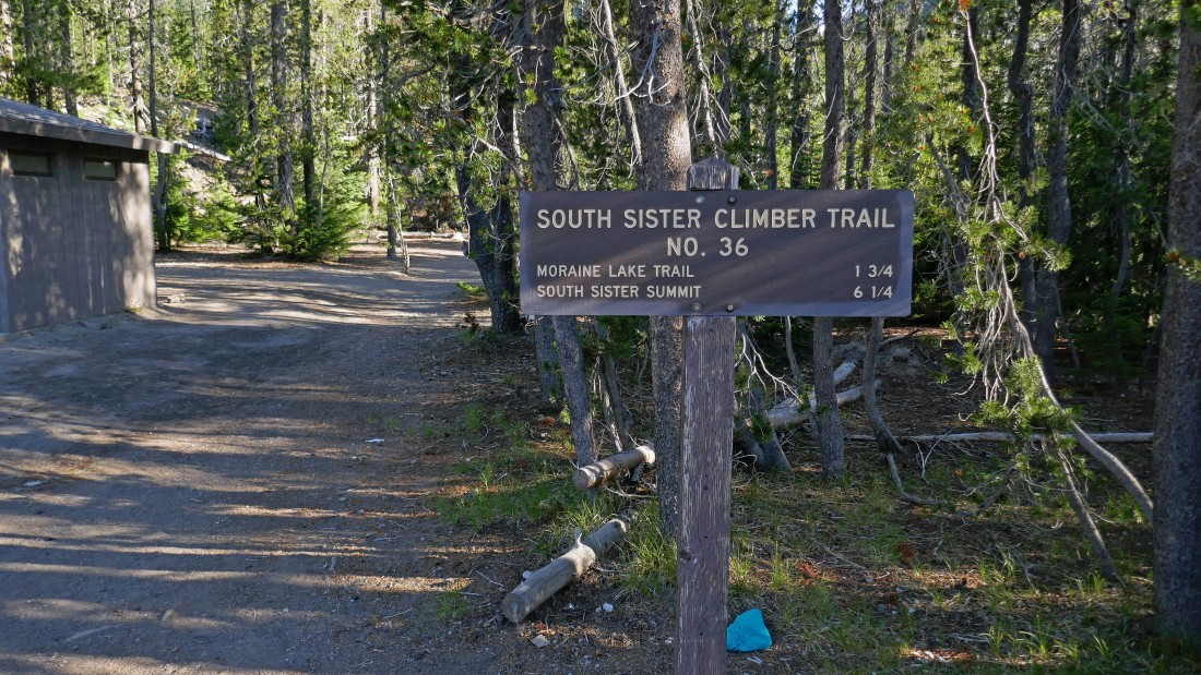
I have parked in the Devils Lake parking area... and will start hiking on South Sister Climber Trail #36.
|
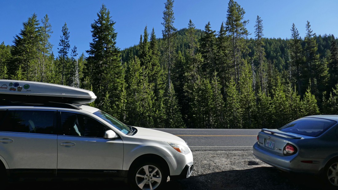
After hiking on South Sister Climber Trail for an eighth of a mile, the trail crosses the Cascade Lakes Hwy... overflow parking is along the highway.
|
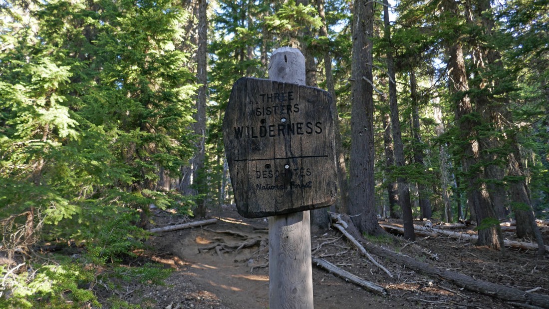
After hiking .3 miles I enter Three Sisters Wilderness.
|
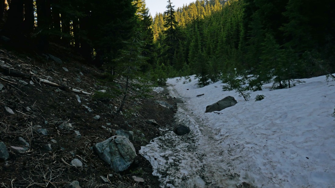
After hiking 1.3 miles the South Sister Climber Trail eases a bit as it enters a small basin between Kaleetan Butte and Devils Hill.
|
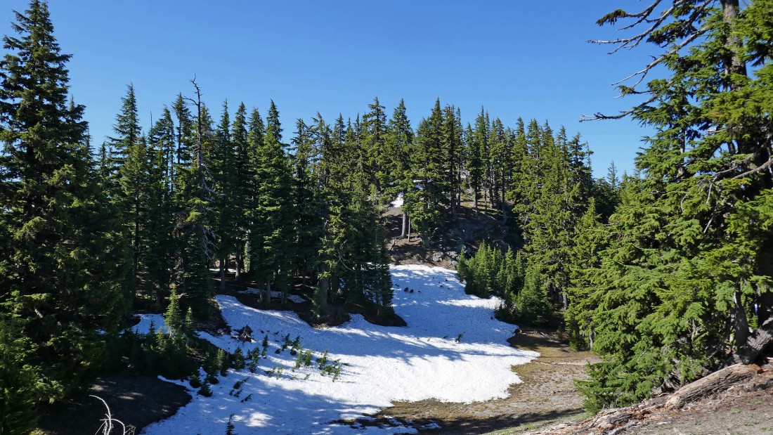
After hiking 2 miles and gaining 1300 feet of elevation on the South Sister Climber Trail, the trail comes out of the forest and offers a nice view of South Sister... time to leave the trail and head cross country for Kaleetan Butte.
|
I will be dealing with quite a few ups and downs as I search for Kaleetan Butte.
|
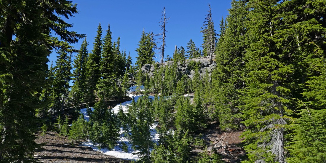
A little Class 2 climbing is ahead.
|
On my way to Kaleetan Butte... looking across the valley to Devils Hill in the foreground... with Mt. Bachelor in the distance on the right.
|
A pano shot... Broken Top and Ball Butte on the left... Devils Hill in the center... with Mt. Bachelor to the right of Devils Hill... and what I thought might be Kaleetan Butte on the far right.
|
|
South Sister and Broken Top as I continue on my way to Kaleetan Butte.
|
After hiking 2.5 miles this view drew me slightly off route... Broken Top on the left... Devils Hill in the foreground... Mt. Bachelor and Sparks Lake on the right... and the little jade colored spot in the lower right corner of the photo is Devils Lake.
|
A closer look at Mt. Bachelor and Sparks Lake.
|
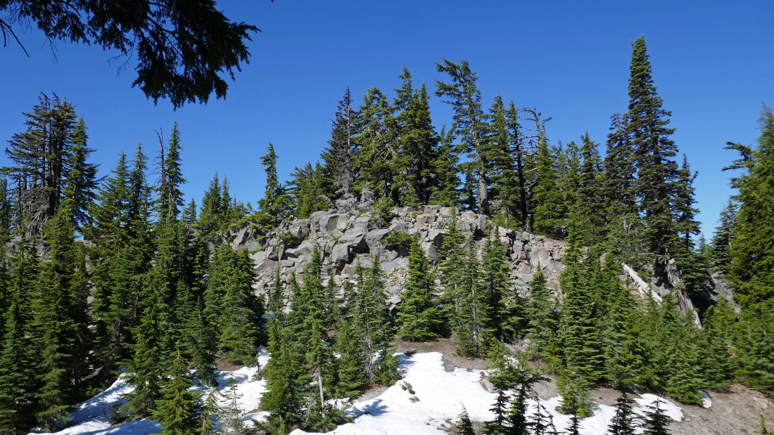
I will need to find a route over these rocks because it is very steep to try and get around them.
|
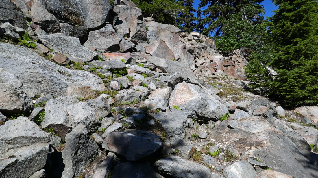
Looks like an easy way to deal with the rocks.
|
|
Broken Top from the Kaleetan Butte area.
|
Well... that is Kaleetan Butte... but I'm on a very steep bump... so I will walk around the top of the bump and see if I can find a way off of it.
|
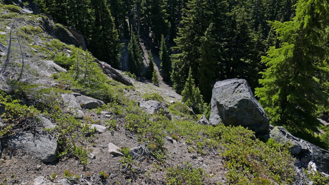
I found a way off of the bump.
|
Finally... there are no more obstacles in my way.
|
After hiking 3.5 miles I am on the high point (6864') of Kaleetan Butte... Elk Lake is in the foreground... with the snow covered Diamond Peak on the far right... the Crater Lake National Park high points are on the horizon directly above Elk Lake.
|
|
Broken Top and Ball Butte from Kaleetan Butte.
|
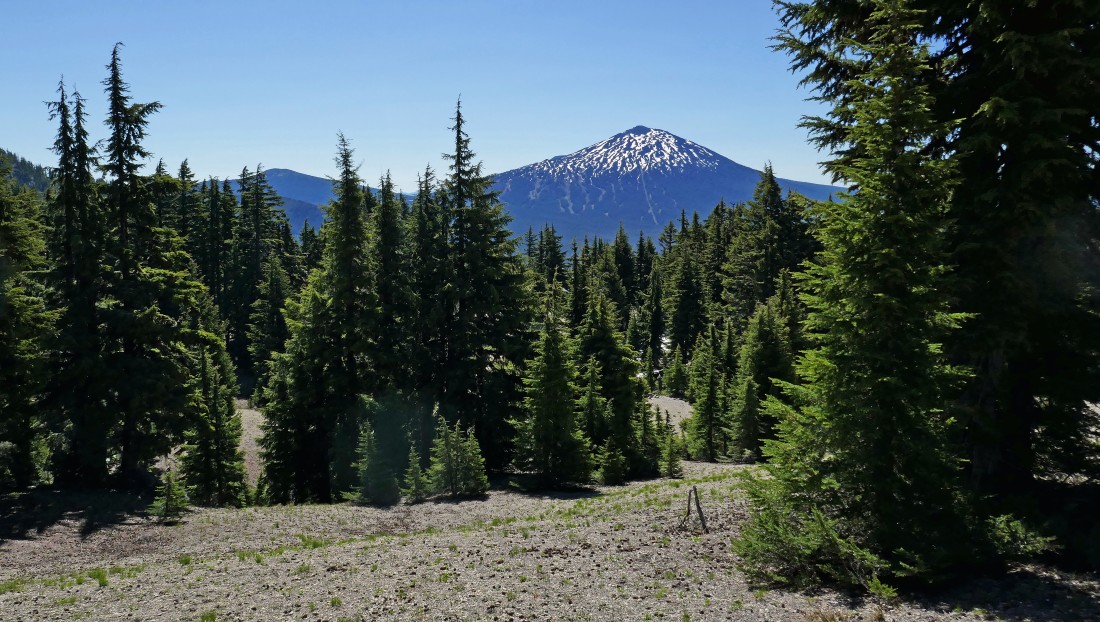
Mt. Bachelor and Sparks Lake on the left... with Elk Lake on the far right.
|
Time to leave Kaleetan Butte and head back... but I would like to find an easier way down... and not have to deal with that steep bump.
|
I took a hard look at my GPS and found a good route off of the north side of Kaleetan Butte that got me down to Moraine Lake Trail #17.1 after hiking 5 miles. I will head south on the trail... here looking back to the north at South Sister.
|
After hiking 5.7 miles I have reached the junction with Le Conte Crater Trail #12.3... but I will continue hiking south on the Moraine Lake Trail.
|
|
Hiking south on the Moraine Lake Trail... here looking back to the north at Le Conte Crater on the far left... and South Sister in the distance.
|
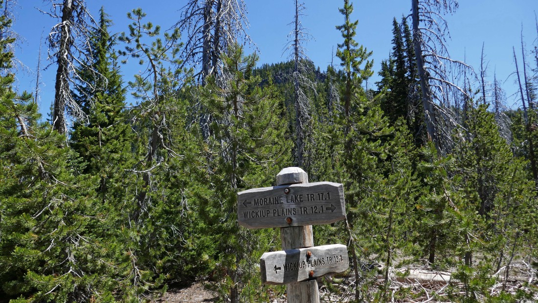
After hiking 6.2 miles I will leave the Moraine Lake Trail and continue south on Wickiup Plains Trail #12.1... that is the southern terminus of Kaleetan Butte up there in the distance above the sign.
|
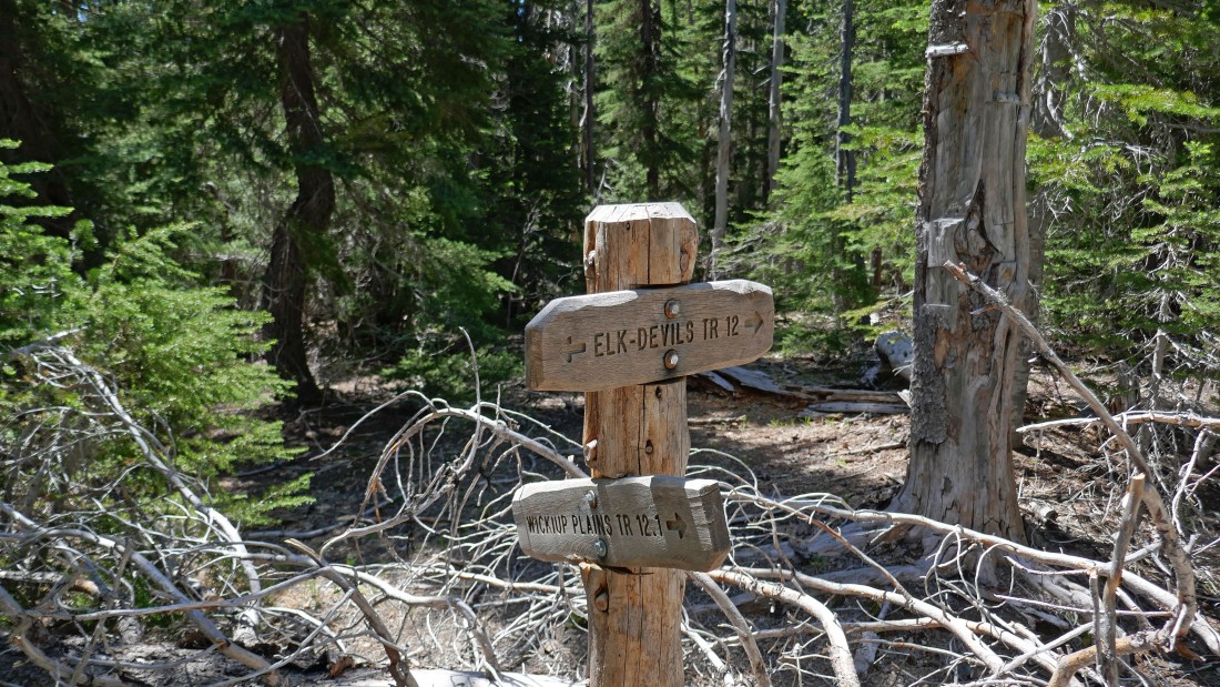
After hiking 7.3 miles I will leave the Wickiup Plains Trail and follow the Elk-Devils Trail #12 for a mile back to my car.
|
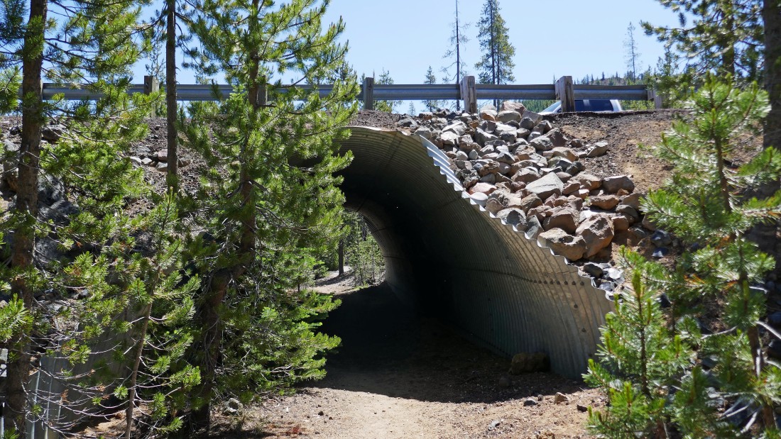
When I reached this underpass beneath the Cascade Lakes Highway I knew that I was close to the Devils Lake parking lot.
|
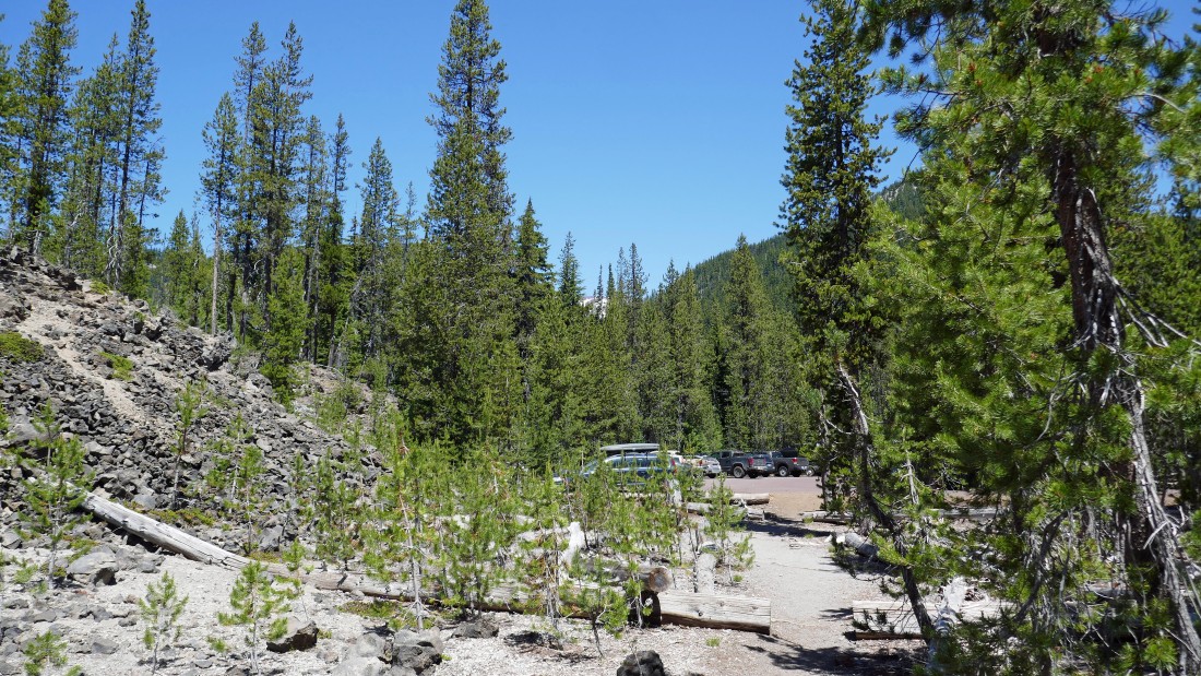
After hiking 8.3 miles and gaining 1856 feet of elevation I have completed the circumnavigation hike of Kaleetan Butte.
|
