Maxwell Butte - 7.24.2020
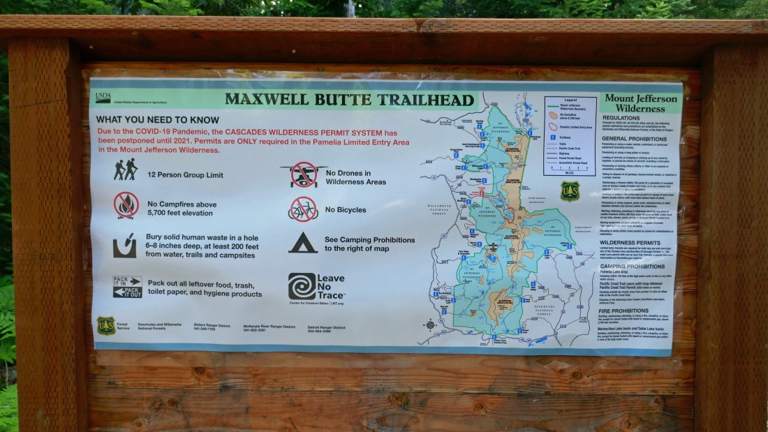
The Maxwell Butte Trailhead is located just off of Oregon Hwy 22... a fairly short distance west of Santiam Pass... with the primary exit off of Oregon Hwy 22 being the Maxwell Sno Park... with the Maxwell Butte Trailhead being a short distance further up the road from the sno park.
|
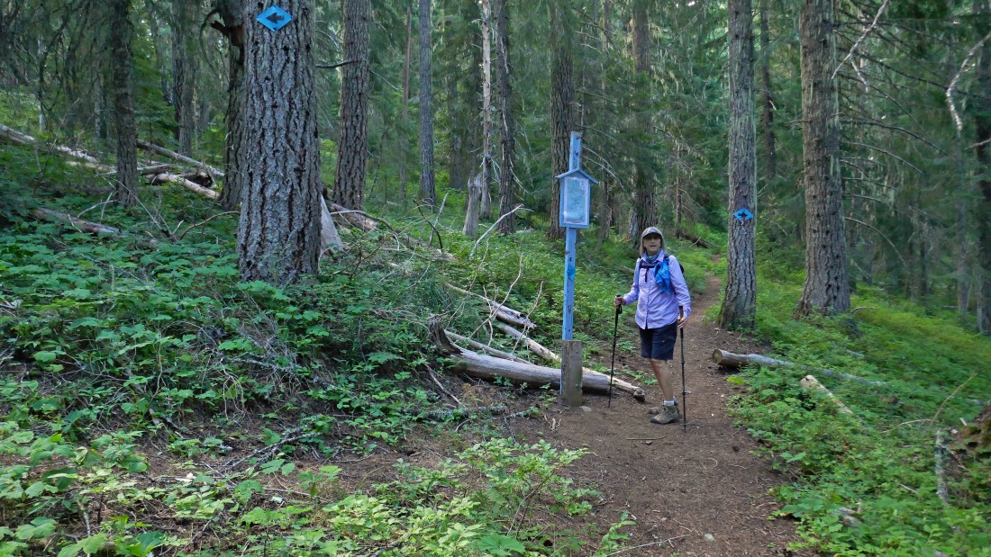
After hiking Maxwell Butte Trail #3391 for 1.2 miles we reached a junction with the X-C ski loop trail that goes left and right from Denali Girl... but we will continue straight.
|
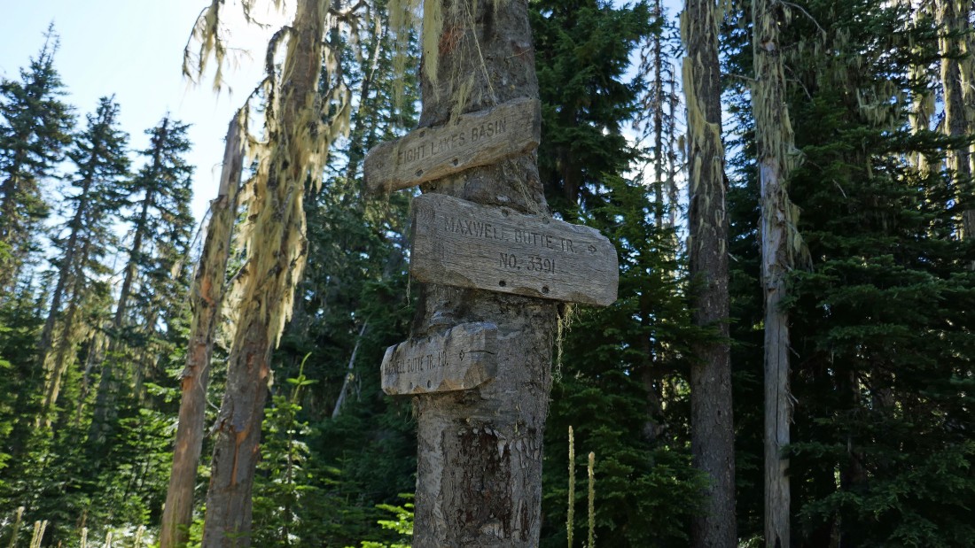
After hiking 2.4 miles we reached the junction with Lava Lakes Trail #3433... which heads over toward Eight Lakes Basin... but we will stay on the Maxwell Butte Trail.
|
Twin Lakes is a very short distance from the junction with the Lava Lakes Trail... the lake was not very impressive... and there is no twin.
|
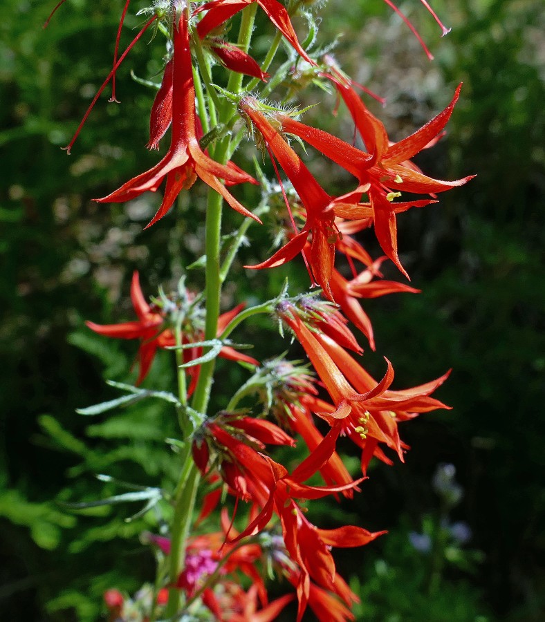
Scarlet Gilia.
|
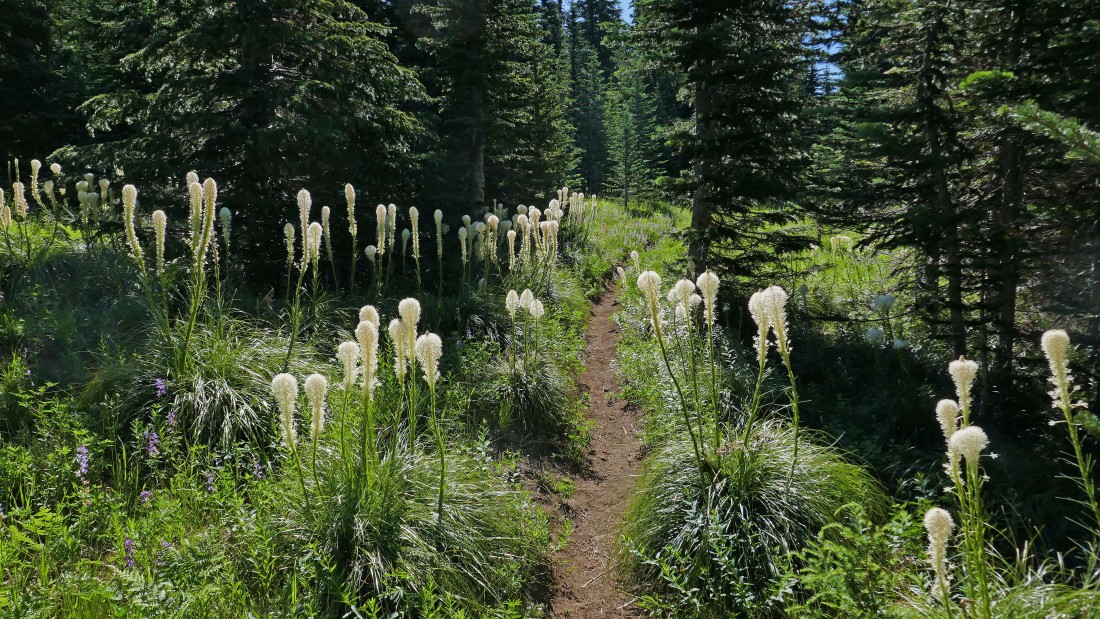
Beargrass.
|
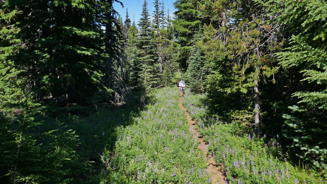
Denali Girl in a sea of Lupine.
|
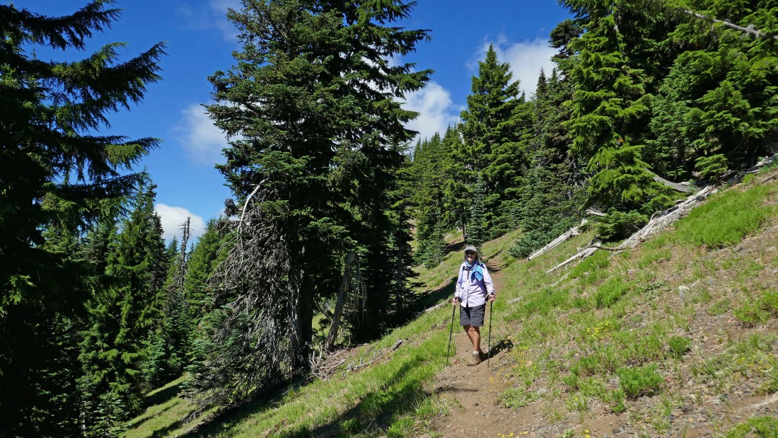
After hiking a little over 4 miles, the trail starts to switchback up the south side of Maxwell Butte.
|
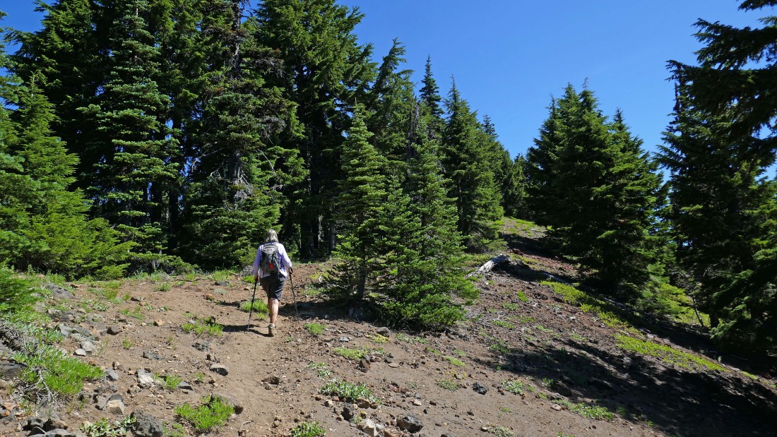
Denali Girl nears the summit of Maxwell Butte... but are there going to be any views?
|
After hiking 5 miles we have reached the summit (6229') of Maxwell Butte... there used to be a lookout on the summit... that is Three Fingered Jack on the horizon.
|
|
Denali Girl found the best summit views 50 yards east of the true summit... here gazing NE at Three Fingered Jack.
|
Looking north (left) beyond Eight Lakes Basin at Mount Hood and Mount Jefferson... the first and second highest peaks in Oregon... and looking NE at Three Fingered Jack in the foreground.... with Black Butte sneaking into the photo on the extreme far right.
|
A closeup of Mount Jefferson in the center of the photo... with Mount Hood in the distance on the left... with Duffy Lake in the lower left corner of the photo... and Mowich Lake in the center of the photo.
|
Looking beyond Hogg Rock, Point 4828 and Potato Hill in the immediate foreground to Hayrick Butte and Hoodoo Butte (a ski area) in the center of the photo... with Broken Top, Mount Washington, North Sister, Middle Sister and South Sister clustered on the middle horizon.
|
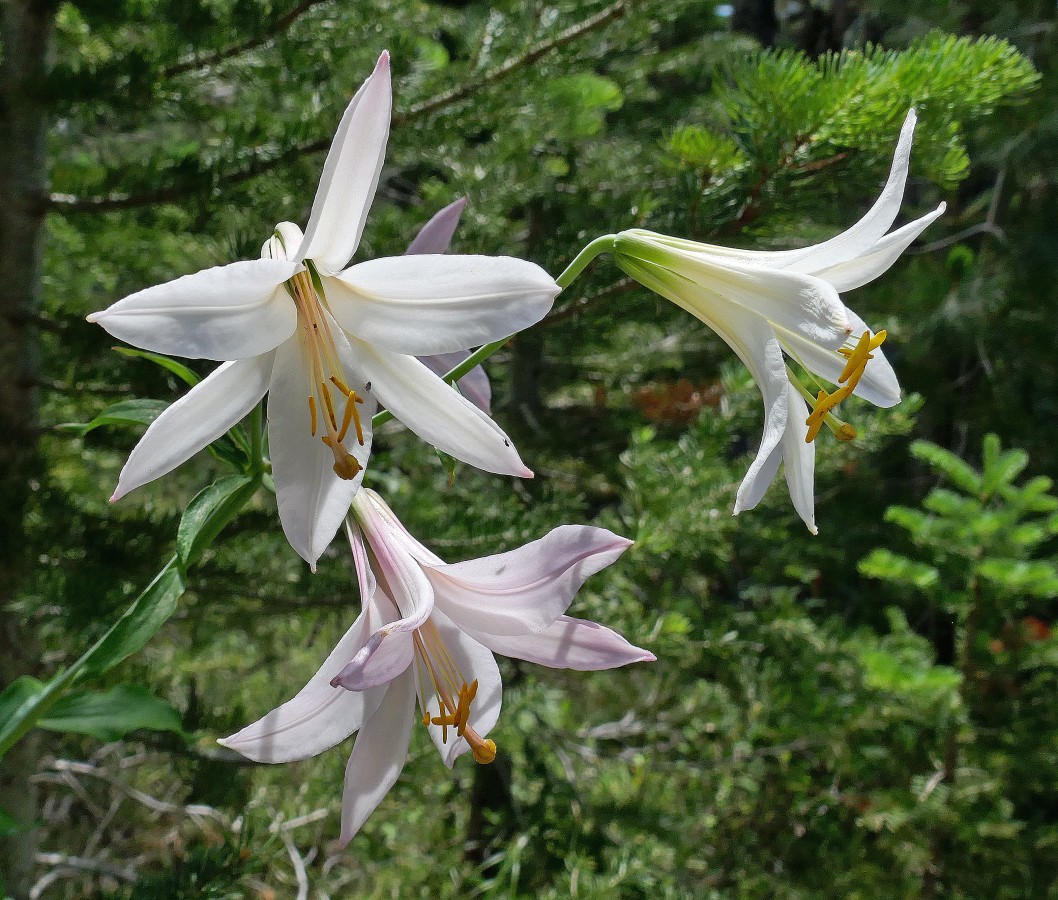
Cascade Lily... the hike was a total of 10 miles, gaining 2519 feet of elevation.
|
