Broken Hand and Point 7732 - 8.3.2020
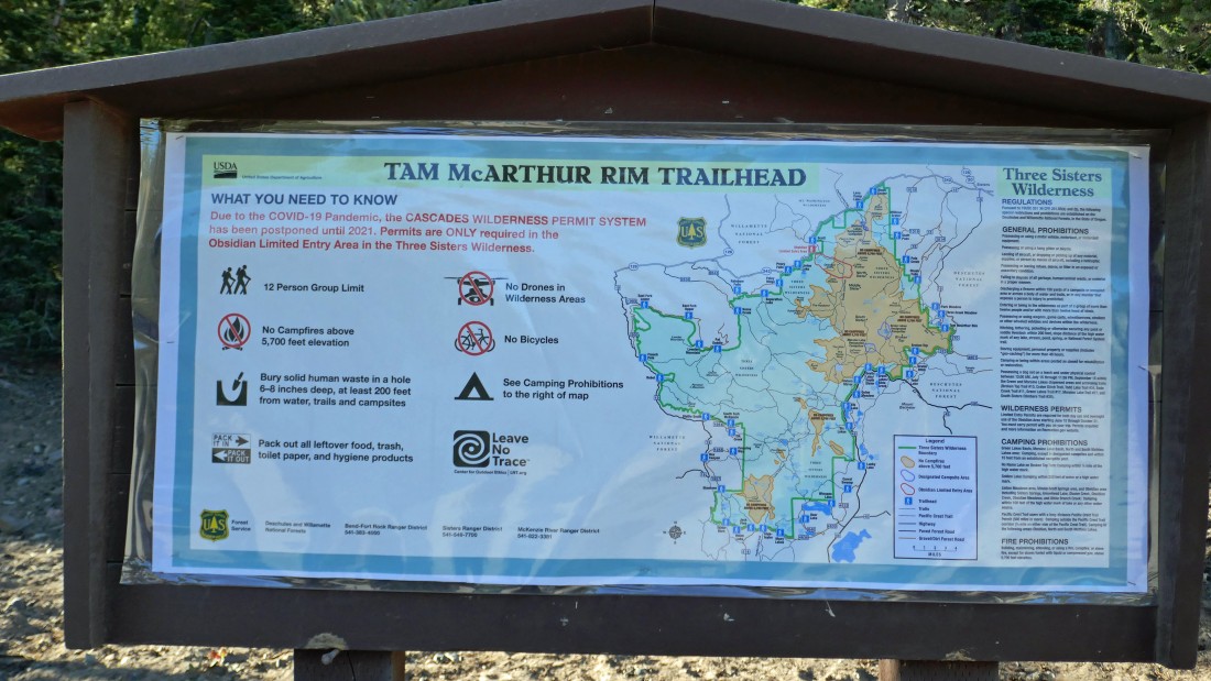
From the town of Sisters, Oregon... drive Three Creeks Road to Three Creek Lake and find the trailhead for Tam McArthur Rim Trail #4078 on the left side of the road.
|
Tam McArthur Trail heads uphill immediately... we got this view after hiking a half-mile... looking down on Three Creek Lake... and across the lake to Point 7732 (center of photo) which will be our first stop... Middle Sister and North Sister are on the far right horizon.
|
A closer look from the previous photo of Middle Sister (left) and North Sister.
|
Continuing on the Tam McArthur Rim trail as we work our way up to Tam McArthur Rim... high enough now to see Mt. Washington, Three Fingered Jack and Mt. Jefferson on the right.
|
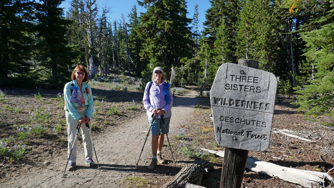
After hiking .9 miles we are entering Three Sisters Wilderness... I think this is roughly where Tam McArthur Rim begins.
|
|
Continuing on the Tam McArthur Rim Trail... in search of Point 7732... we can tell that nice views are coming because we can see the top of Broken Top on the far left.
|
A closer look at Broken Top from the previous photo.
|
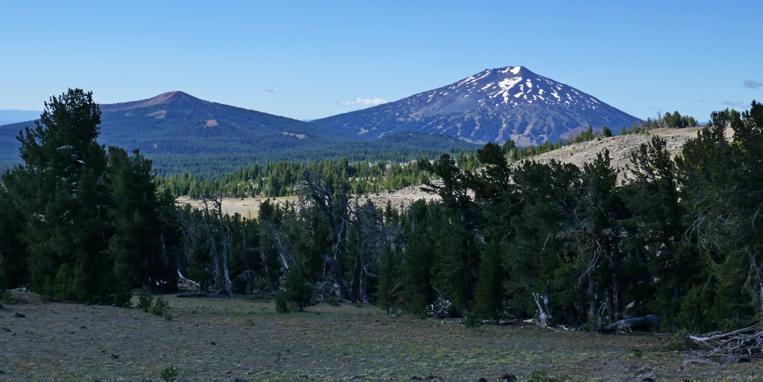
Looking south to Tumalo Mountain on the left... with Mount Bachelor on the right.
|
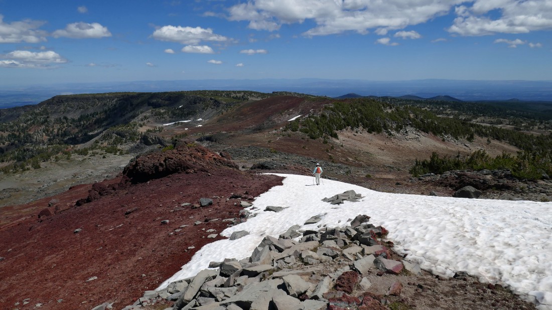
Denali Girl nears Point 7732... with Little Three Creek Lake below... we started hiking from Three Creek Lake on the far right.
|
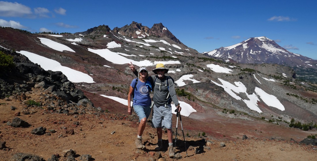
After hiking 2.7 miles, BarbE and Denali Girl have reached Point 7732... with Mount Jefferson in the distance on the far right.
|
|
Broad views from Point 7732... Broken Top on the far left... then Three Sisters... Mt. Washington, Three Fingered Jack and Mt. Jefferson.
|
Little Three Creek Lake and Three Creek Lake from Point 7732.
|
Continuing to hike west from Point 7732 on what is supposedly an unmaintained trail... the Tam McArthur Rim Trail officially ended at Point 7732.
|
Continuing west toward Broken Top... with the top of South Sister beyond the ridge on the right.
|
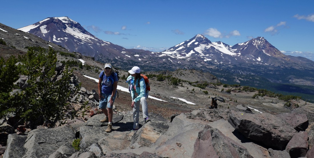
BarbE, Middle Sister and North Sister.
|
|
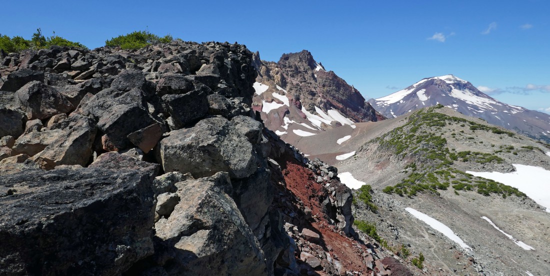
We will continue along the rim on the left to Broken Hand which is the bump on the far left... in front of Broken Top.
|
BarbE took this shot of Denali Girl and me... with Broken Hand, Broken Top and South Sister behind me.
|
Heading along the rim to Broken Hand.
|
After hiking ~3.5 miles we will have this continuous view of Mt. Bachelor and Ball Butte on the left... Broken Hand and Broken Top in the center... with Three Sisters to the right.
|
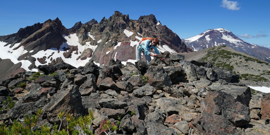
After hiking 4 miles Denali Girl stopped... but BarbE and I are continuing for Broken Hand in the foreground... with Broken Top beyond.
|
|
BarbE nears the NE end of the Broken Hand summit block... with Ball Butte and Mt. Bachelor on the left... and Broken Top and South Sister on the right.
|
We have reached the NE end of the Broken Hand summit block... now we will follow a path around to the left and look for a Class 3 route up to the summit.
|
Following a path over to the east side of Broken Hand... with Tumalo Mountain, Ball Butte and Mount Bachelor in the distance.
|
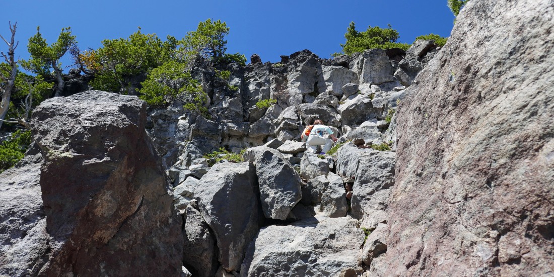
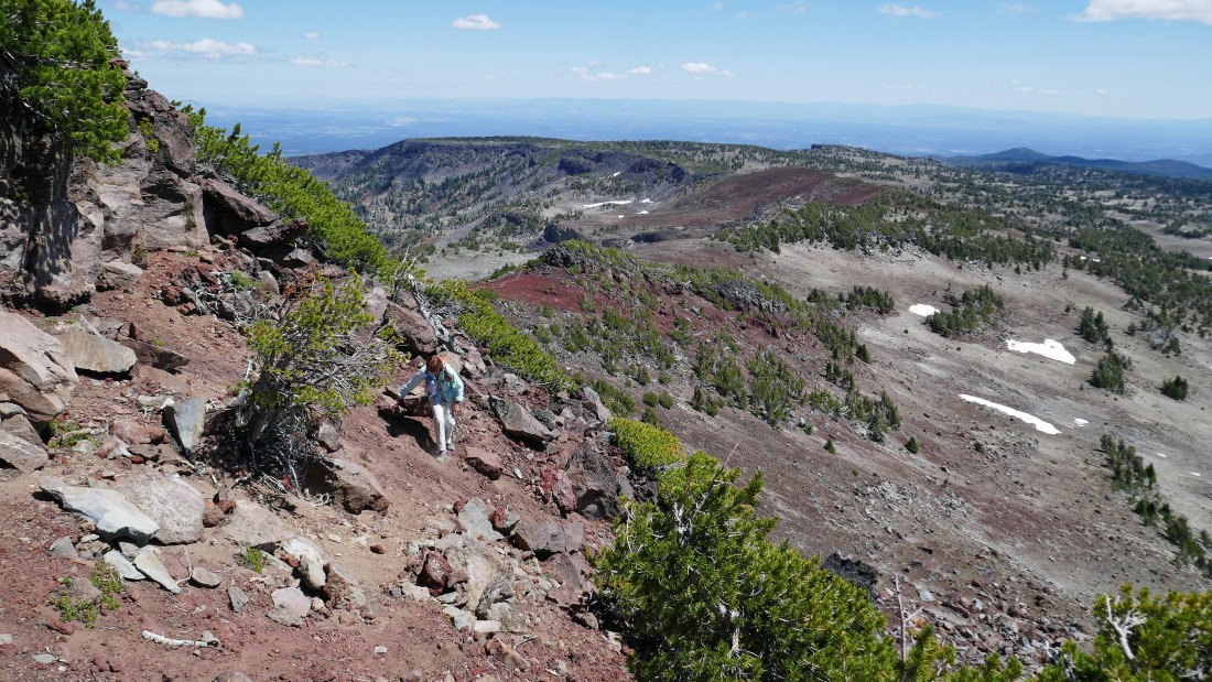
We are 120 feet below the Broken Hand summit as BarbE starts up the Class 3 scramble.
|
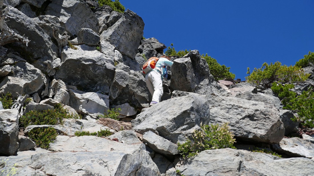
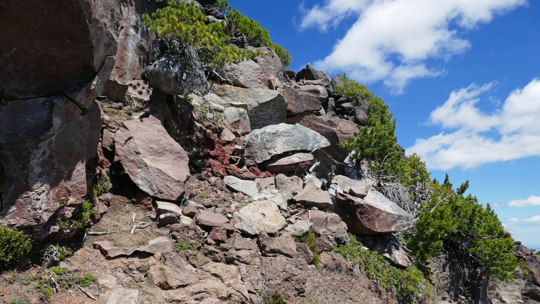
Scrambling up on the east side of the Broken Hand summit block.
|
Scrambling up on the east side of the Broken Hand summit block.
|
Scrambling up on the east side of the Broken Hand summit block.
|
We will scramble up to that cairn above.
|
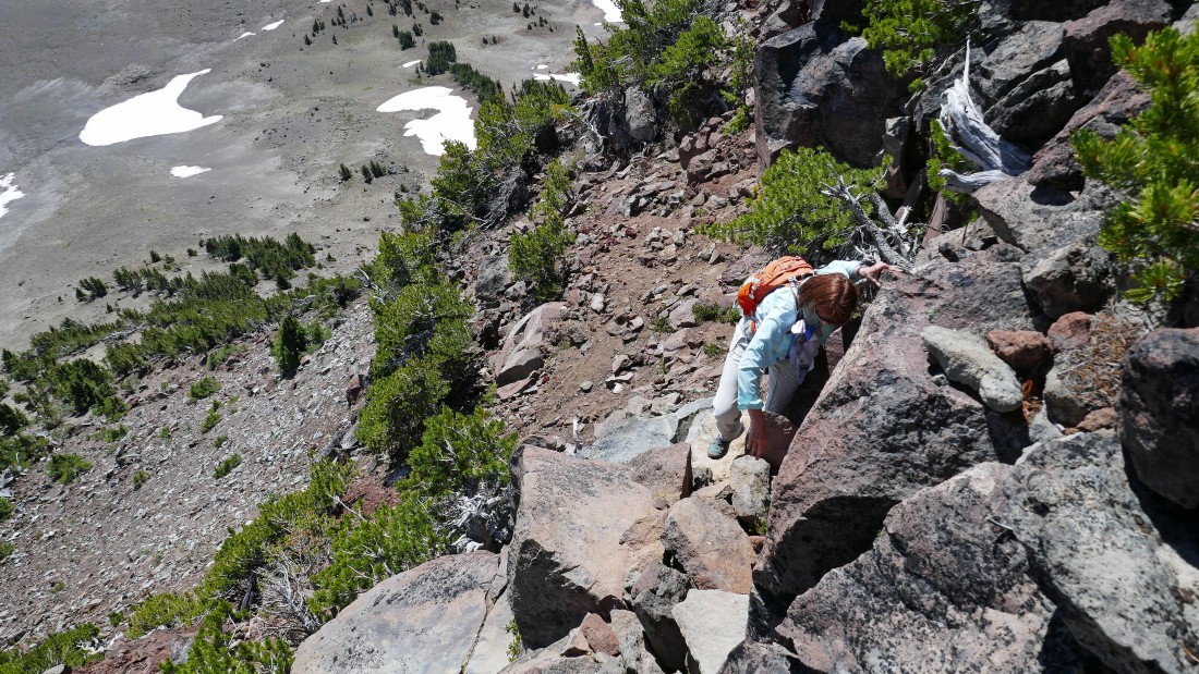
Almost done with the Class 3 section of the scramble.
|
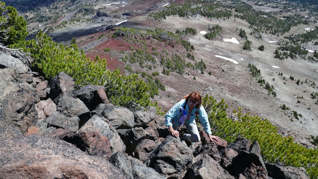
Easier terrain is coming very soon... the rim trail can be seen in the upper left part of the photo.
|
The last 30 feet of elevation gain to the summit is on much easier terrain... with the Broken Top summit and South Sister in the distance.
|
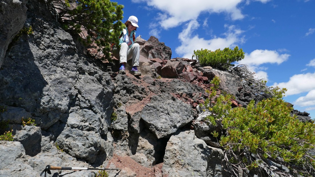
After hiking 5 miles we have reached the summit (8376') of Broken Hand... where BarbE has found a boulder with a hole in the center.
|
BarbE relaxes on the summit of Broken Hand... with a partial view of 'No Name' Lake on the east shoulder of Broken Top... and South Sister in the distance on the right.
|
From the Broken Hand summit... south to Ball Butte and Mt. Bachelor on the left... west to Broken Top and 'No Name' Lake in the center... NW to South Sister, Middle Sister and North Sister on the right.
|
From the Broken Hand summit... looking NW to north... Three Sisters, Mt. Washington, Three Fingered Jack and Mt. Jefferson.
|
|
From the Broken Hand summit... looking east at the route we used along Tam McArthur Rim.
|
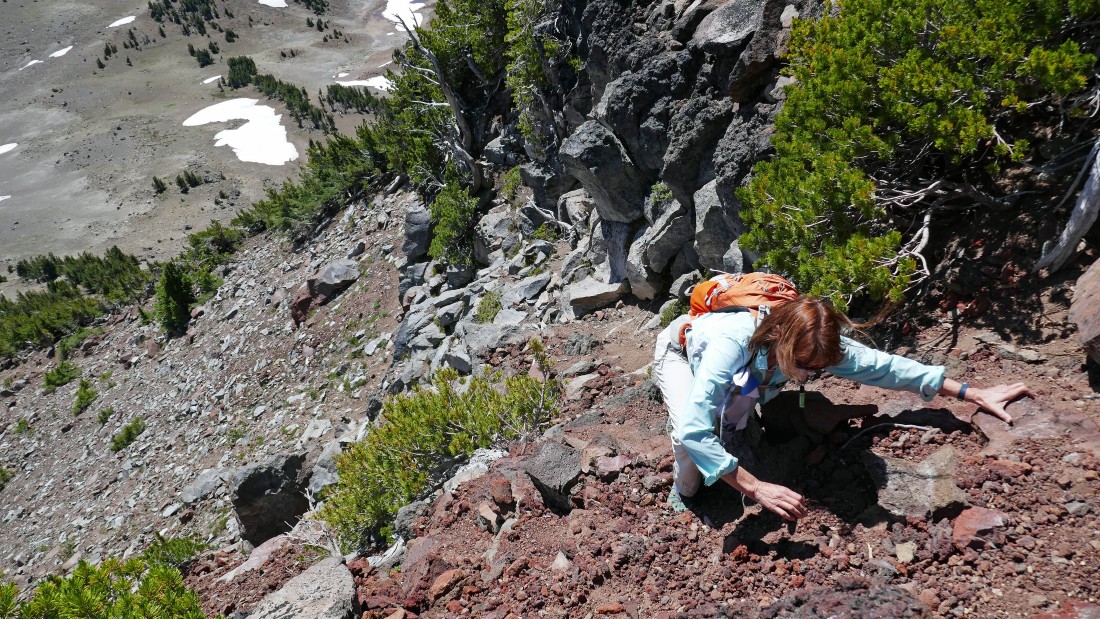
We have left the summit and are scrambling back down the Class 3 section of the trip.
|
BarbE is heading back along the path that will get us over to easier terrain on the rim.
|
Now heading east along the rim as we more or less trace our steps back to the car.
|
After hiking ~6 miles we have reconnected with Denali Girl.
|
|
Looking back as we head for the car... it is so hard to let this view go!
|
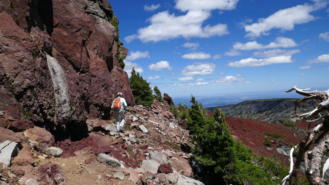
After hiking 8.3 miles we have reached an unsigned trail junction... we decided to take the trail that stayed higher on the rim... but it didn't really offer anything better than the trail we used on our way in.
|
Looking back at Point 7732 as we head for the car.
|
Almost back to the car.
|
After hiking 10 miles, gaining 2270 feet of elevation we have reached the trailhead... a 5 star trip for sure!
|
