Point 6315, Point 6302 and Matthieu Lakes - 8.18.2020
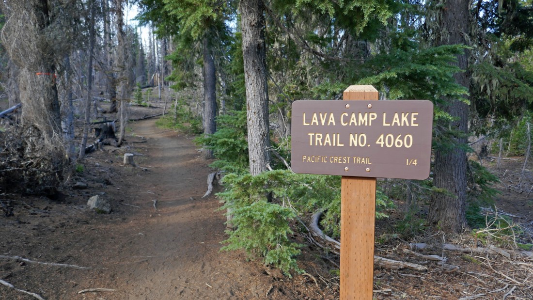
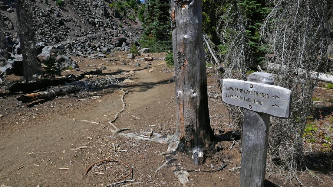
We parked at the trailhead for Lava Camp Lake Trail #4060... located off of Oregon Hwy 242 near McKenzie Pass.
|
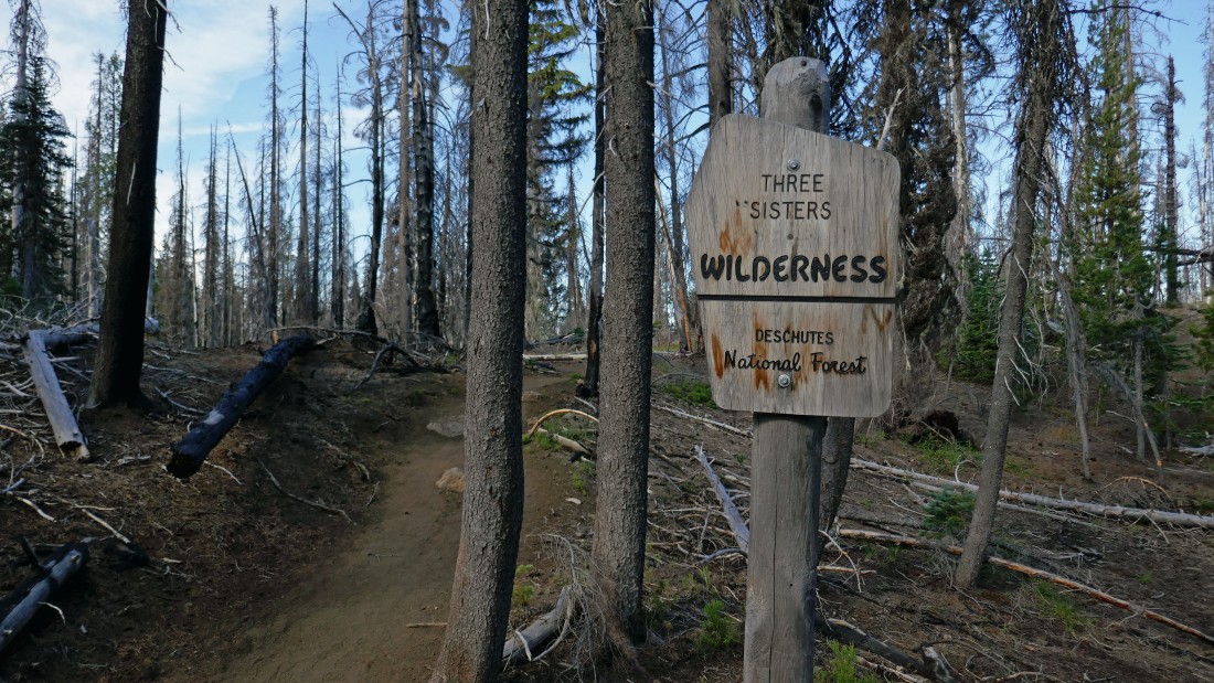
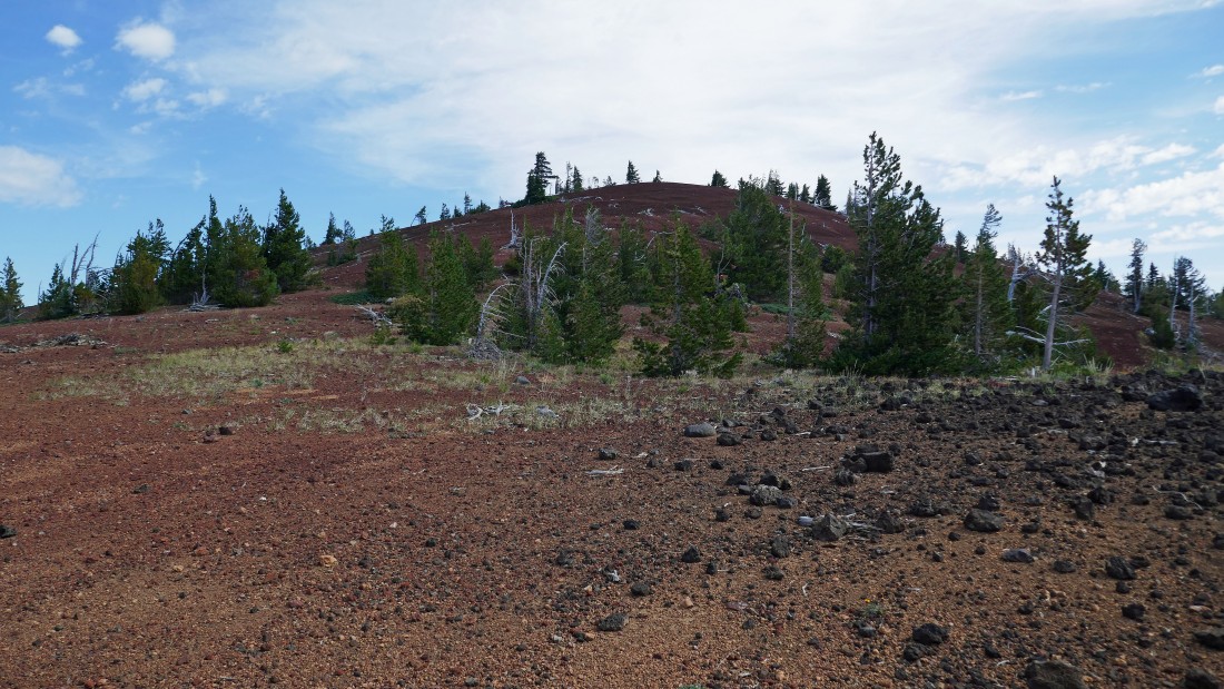
After hiking less than a tenth of a mile we entered the Three Sisters Wilderness... the Milli Fire ravaged the area in 2017.
|
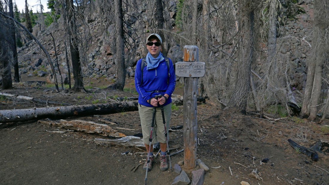
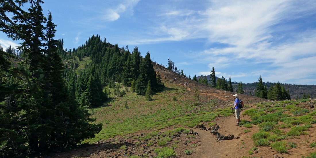
After hiking a quarter mile we joined the PCT and will follow it to the south.
|
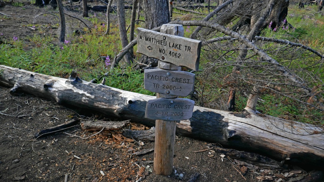
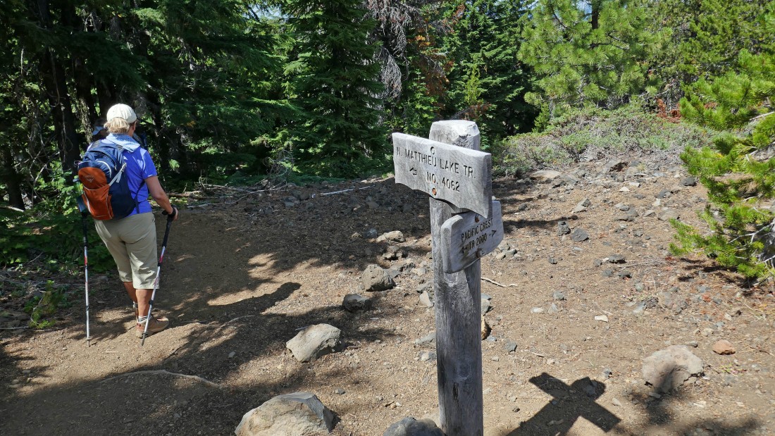
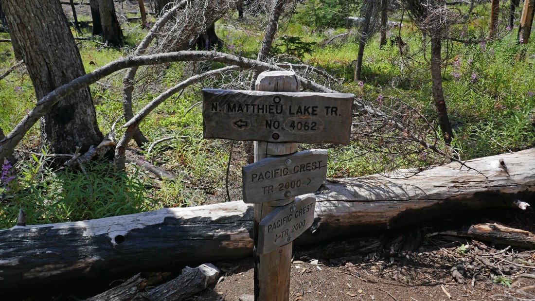
After hiking 1 mile we reached a junction with the North Matthieu Lake Trail #4062... we will continue hiking on the PCT and use the N. Mattieu Lake Trail on our return at the end of the day... making a nice loop hike.
|
After hiking 2.7 miles we are looking down on North Matthieu Lake... with Belknap Crater and Mount Washington on the right horizon.
|
|
After hiking 2.9 miles we got our first good look at North Sister and Middle Sister... Yapoah Crater is just above Denali Girl's head.
|
I sent the ladies on to South Matthieu Lake while I left the PCT and headed up to Point 6302.
|
After hiking 3.2 miles I have reached the top of Point 6302... here looking north to Belknap Crater on the far left horizon... then Mount Washington, Mount Jefferson and Millican Crater on the extreme far right.
|
Looking south from Point 6302... with Point 6315 (my next target) in the foreground... and North Sister beyond Point 6302 in the center of the photo... Tam McArthur Rim is on the left horizon and you can follow it to Broken Top in the left-center of the photo... Yapoah Crater is in the right foreground.
|
A closer look at Point 6315 in the foreground... with North Sister and Middle Sister beyond it... and Yapoah Crater on the extreme far right... you can see the path going up to Point 6315... and the PCT that angles over toward Yapoah Crater.
|
|
I have left Point 6302 and will meet the ladies at South Matthieu Lake... Point 6315 is in the left-center foreground... with North Sister in the distance.
|
After hiking 3.7 miles I have reached South Matthieu Lake... here looking back to where I was earlier on Point 6302.
|
After hiking 3.8 miles we have reached a junction of the PCT and Scott Pass Trail #4068... which we will use for a very short distance over to pick up the path that leads up to Point 6315.
|
Nanda leaves the Scott Pass Trail and heads up the unofficial trail that will take us up to the top of Point 6315 in the left foreground.
|
After hiking 4.3 miles we have reached the top of Point 6315... with North Sister on the left and Yapoah Crater on the right.
|
|
Leaving Point 6315 and heading back to South Matthieu Lake to rejoin Denali Girl and Anna Purna... left-to-right on the horizon... Belknap Crater, Mount Washington, Three Fingered Jack, Mount Jefferson, Point 6302 (red top) and Millican Crater.
|
After hiking 5 miles we have reached the junction of the PCT and North Mattieu Lake Trail... so we will return to the car by using the N. Mattieu Lake Trail.
|
After hiking 5.6 miles we have reached North Mattieu Lake.
|
After hiking 7 miles we have returned to the junction of the PCT and North Mattieu Lake Trail... now we will follow the PCT back to the Lava Camp Lake Trail.
|
After hiking 7.7 miles we have returned to the junction of the PCT and Lava Camp Lake Trail... a quarter mile of hiking on the Lava Camp Lake Trail will get us back to our car... the total hike was 7.9 miles, gaining 1480 feet of elevation.
|
