Cape Horn and Point 6801 - 9.2.2020
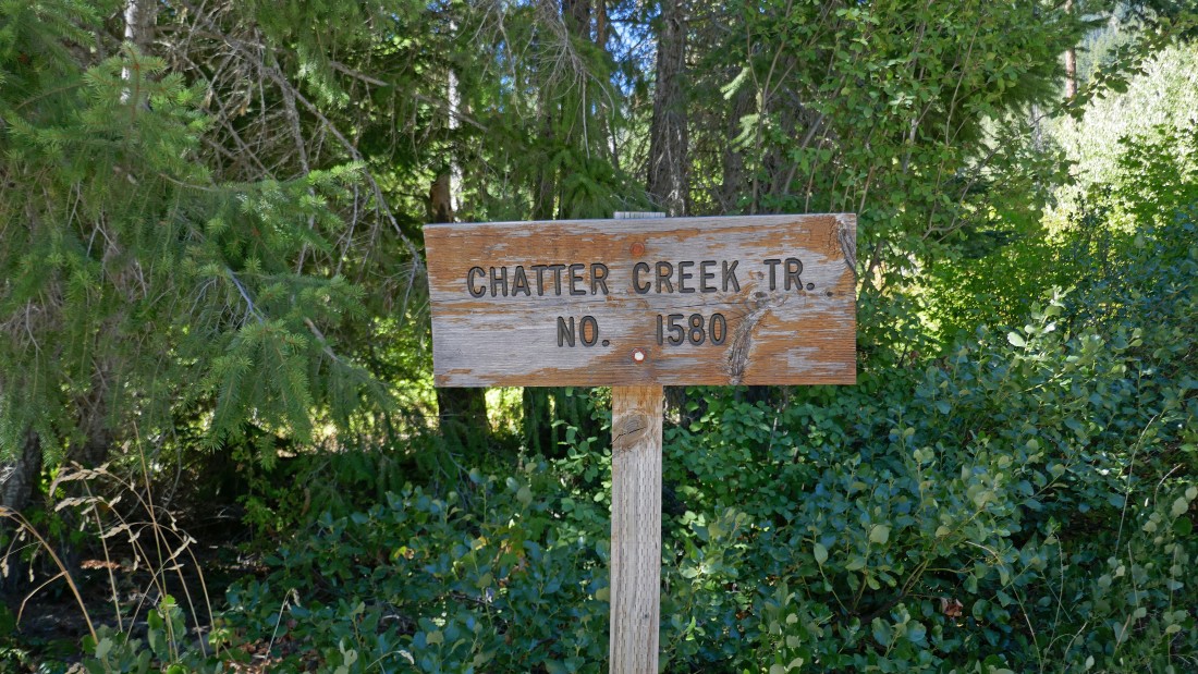
From Highway 2 in Leavenworth, Washington... drive a combination of Icicle Road and Forest Service Road 7600 for 14.7 miles to the Chatter Creek Trailhead... parking at 2600 feet.
|
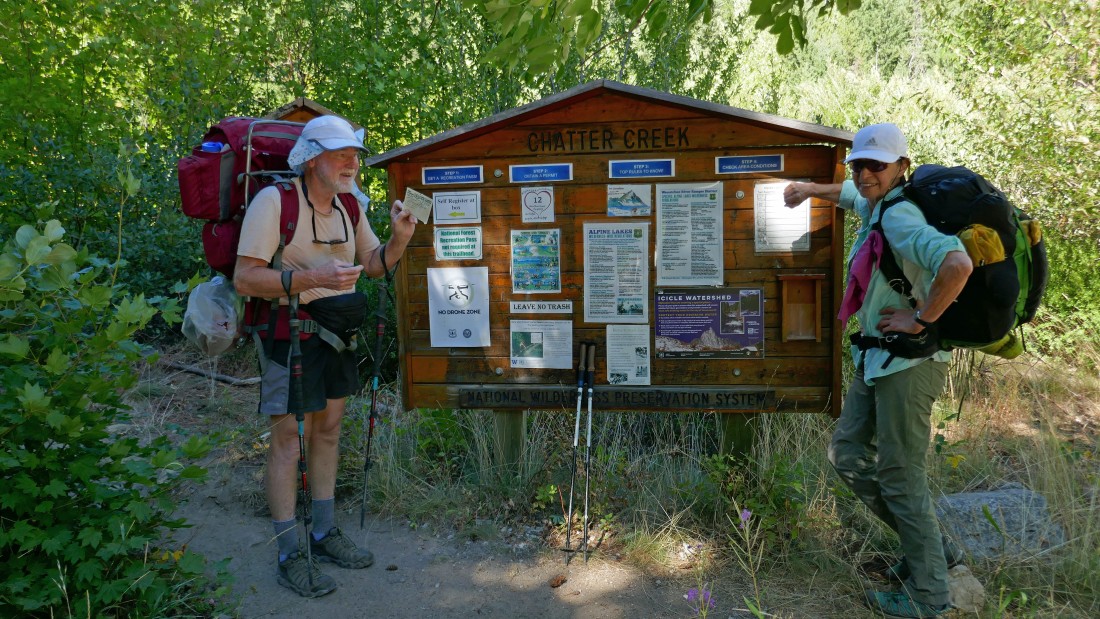
BarbE watches as rocman fills out the overnight permit.
|
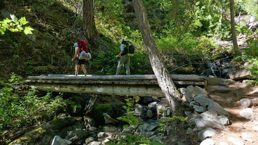
After hiking 1 mile we crossed Chatter Creek at 3150 feet.
|
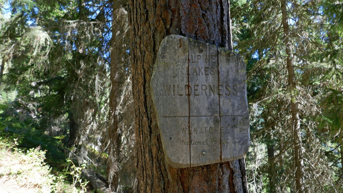
After hiking 1.4 miles we entered the Alpine Lakes Wilderness at 3400 feet.
|
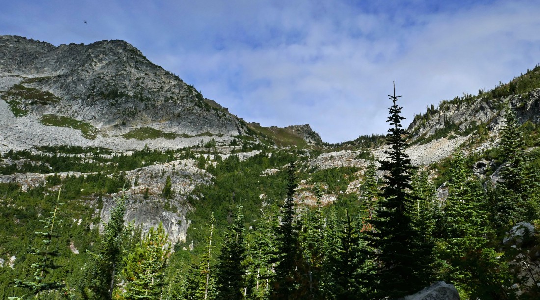
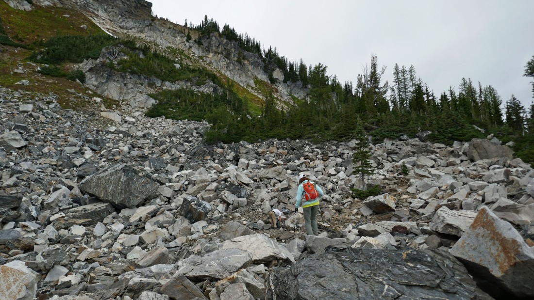
Continuing up Chatter Creek Trail #1580... looking up at the drainage that has a cross country route up to Frigid Mountain.
|
|
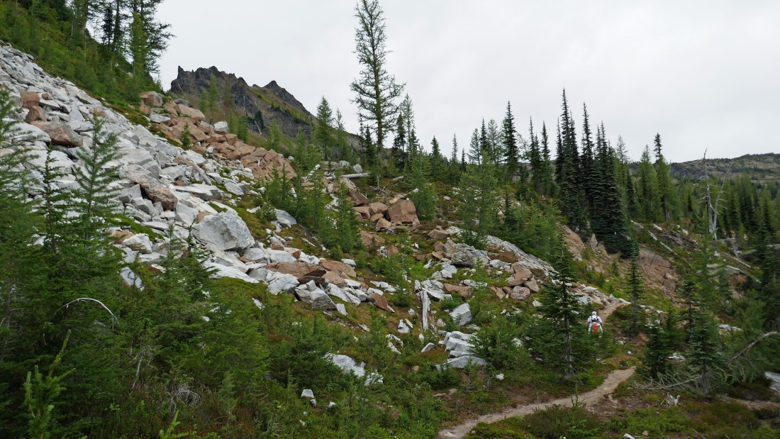
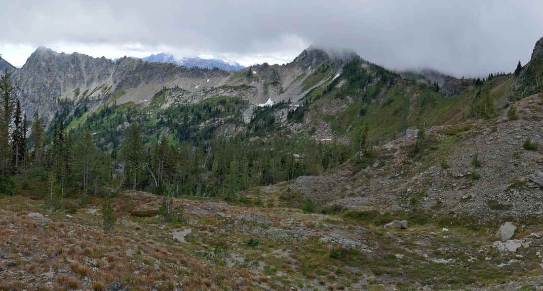
Continuing up the Chatter Creek Trail... looking back across the Icicle Creek valley to Cashmere Mountain in the left center of the photo... with Eightmile Mountain and Jack Ridge on the right.
|
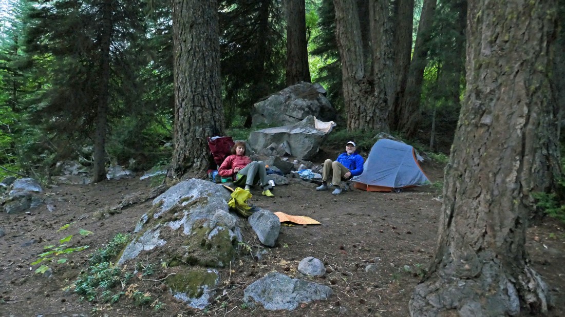
After hiking 2.2 miles we set up our base camp at 4400 feet... tomorrow we will do Cape Horn and then return to this camp to spend a second night before returning to our car on day three.
|
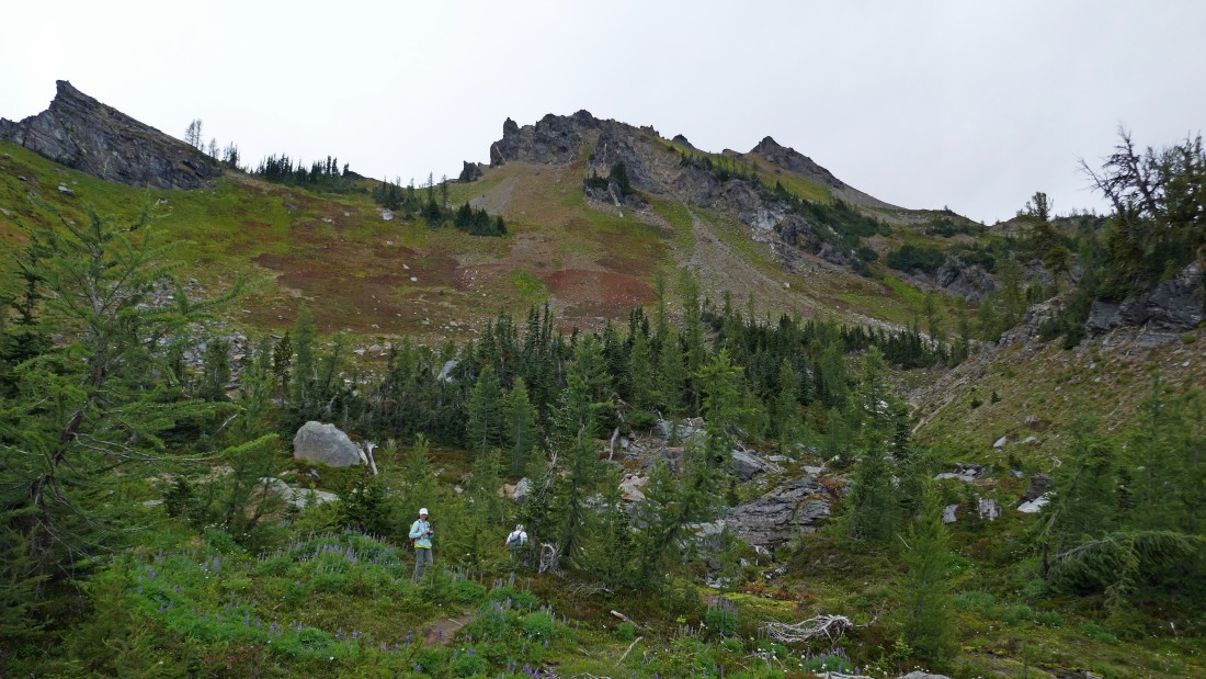
Shortly after leaving our base camp we got this look at Grindstone Mountain... the Chatter Creek Trail will take us up to Chatter Creek Pass on the far right of the photo... but what is that cloud doing up there at the pass?
|
Gaining elevation on the steep Chatter Creek Trail as the clouds continue to grow.
|
Looking back down Chatter Creek Basin and beyond to Cashmere Mountain as we get closer to Chatter Creek Pass.
|
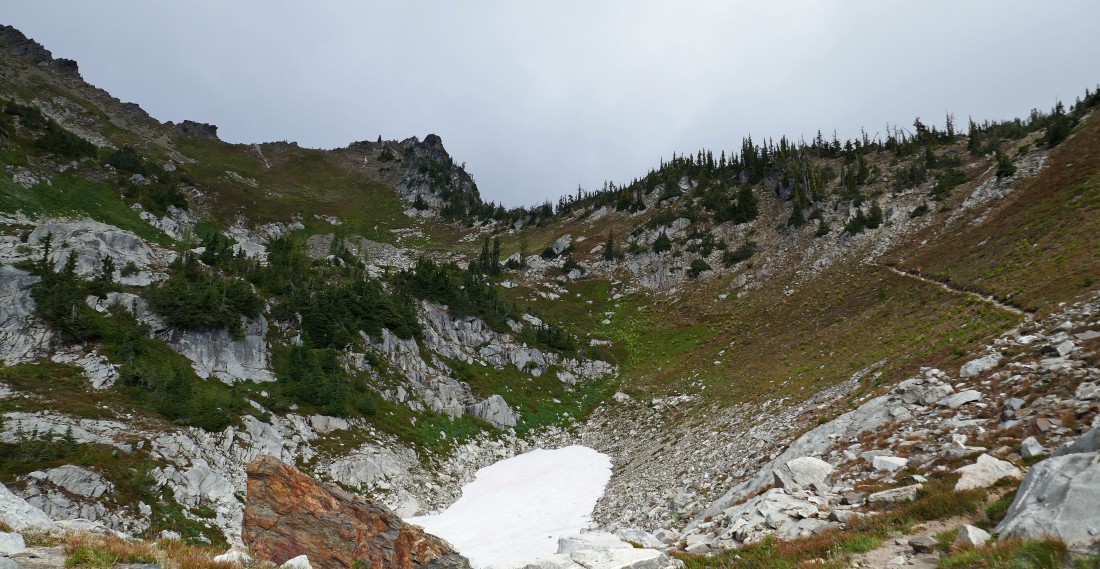
From ~6400 feet we can see the last 250 feet of elevation gain leading up to Chatter Creek Pass... and the cloud cover is starting to take over!
|
Getting closer to Chatter Creek Pass... looking back as the cloud cover is now hovering over Cashmere Mountain.
|
After day hiking 2.5 miles from our base camp we are standing at Chatter Creek Pass (6650')... looking north to Cape Horn in the left center of the photo... Ladies Peak is beyond Cape Horn and is also on today's agenda, however we can't even see it because of the clouds... maybe things will change by the time we get over to Cape Horn.
|
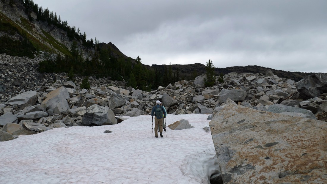
Giving back a few hundred feet of elevation as we work our way over to Cape Horn on the Chatter Creek Trail.
|
Working our way over to Lake Edna and Cape Horn on the Chatter Creek Trail.
|
Working our way over to Lake Edna and Cape Horn on the Chatter Creek Trail... with Cape Horn above us on the left.
|
In the basin on the east side of Cape Horn.
|
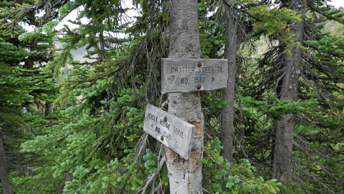
After day hiking 3.8 miles from our base camp we have reached the trail junction of Chatter Creek Trail #1580 and Icicle Ridge Trail #1570... now we will be hiking on the Icicle Ridge Trail up and over the NE ridge of Cape Horn.
|
From the trail junction of Chatter Creek Trail and Icicle Ridge Trail we are looking back at Chatter Creek Pass in the center of the photo where it crosses over Icicle Ridge.
|
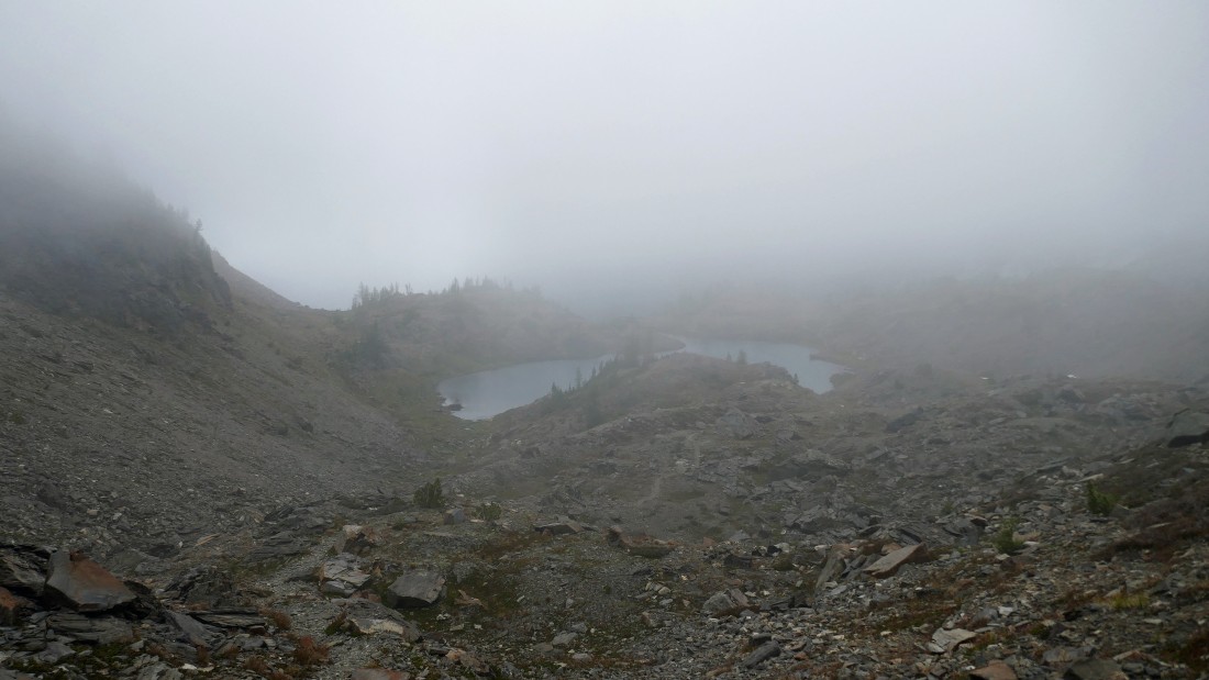
After day hiking 3.9 miles from our base camp we have reached Lake Edna (6750').
|
Looking back down at Lake Edna as we continue to gain elevation on the Icicle Ridge Trail.
|
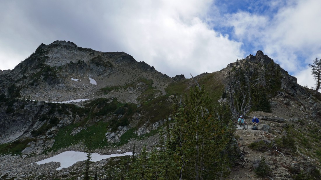
After hiking 4.2 miles from our base camp we are nearing the spot (~7050') where the trail crosses over the NE shoulder of Cape Horn.
|
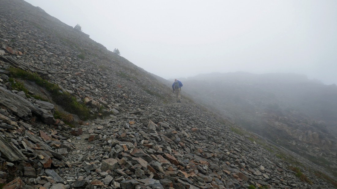
After day hiking 4.4 miles from our base camp we have left the Icicle Ridge Trail and headed up the NW ridge of Cape Horn... what the photo fails to show is that we are dealing with 20-30 MPH wind gusts.
|
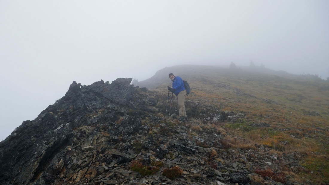
rocman continues up the NW ridge of Cape Horn on a faint path... perhaps 50 yards of visibility... and dealing with 20-30 MPH wind gusts.
|
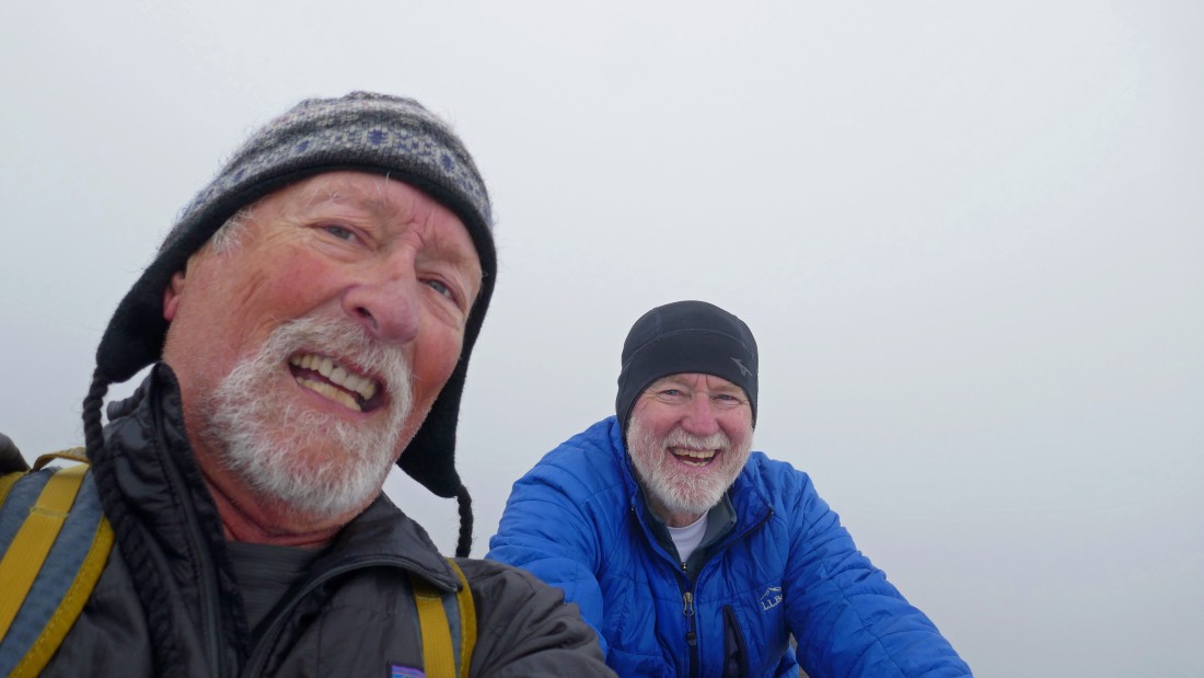
After day hiking 4.6 miles from our base camp... ragman and rocman are sitting on the summit (7316') of Cape Horn.
|
|
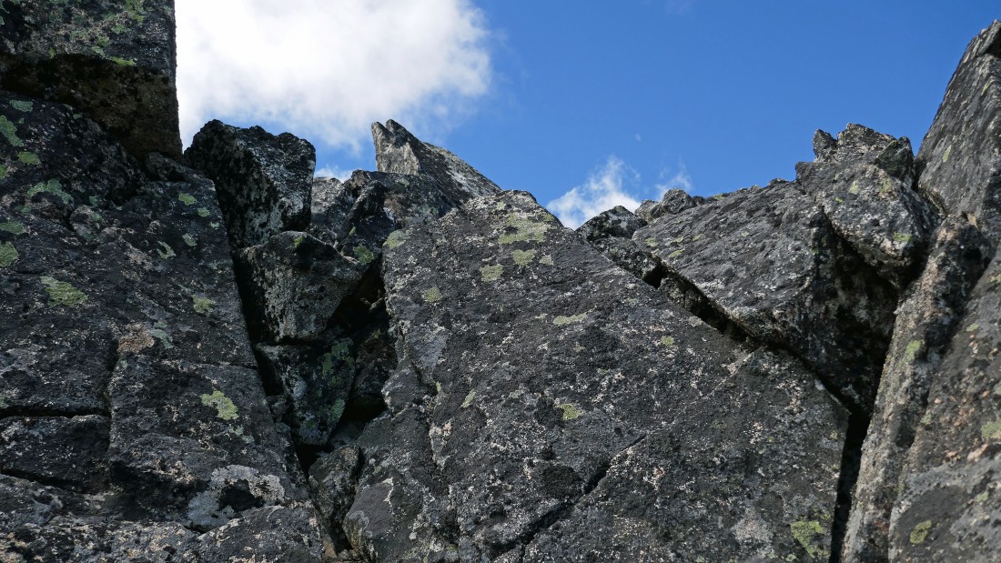
What a gorgeous view (not) looking down from the summit of Cape Horn.
|
Almost back to Chatter Creek Pass after spending a couple hours in the clouds.
|
Nearing Chatter Creek Pass on our return to base camp... with Big Jim Mountain on the far left horizon.
|
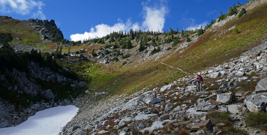
After day hiking 6.5 miles from our base camp we have returned to Chatter Creek Pass... with Grindstone Mountain on the left. I'm looking back at BarbE and rocman as I decided to take a short scramble route east from the pass along Icicle Ridge.
|
Hiking east along Icicle Ridge from Chatter Creek Pass... this rock formation had caught my eye from the pass and I wanted to check it out... maybe I can get on top from the other side.
|
It was no big deal in getting on top of the rock formation in the previous photo... but now I'm interested in the four little bumps further along the ridge... so, let's see if they are doable.
|
Nearing the first of those 4 bumps along the ridge... but that black one out there looks really interesting... so let's keep going.
|
BarbE took this photo of me on the 3rd little bump from back near Chatter Creek Pass... but that black rock formation looks a bit more difficult.
|
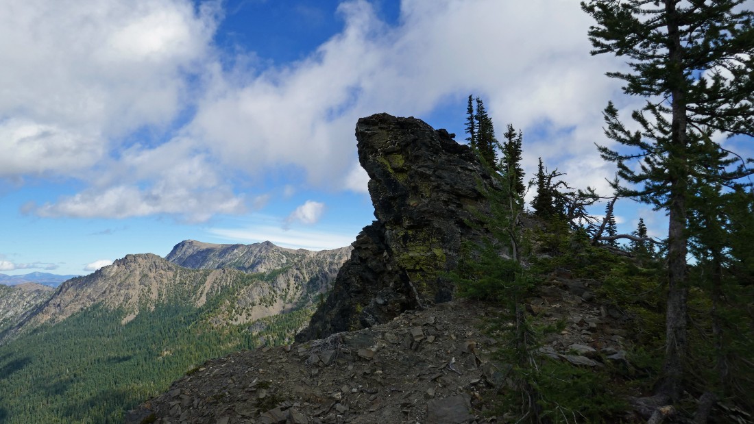
I'm looking at the black rock formation (aka Point 6801) from the 3rd bump in the previous photo... well, I won't be going up it from this side... but perhaps from the other side.
|
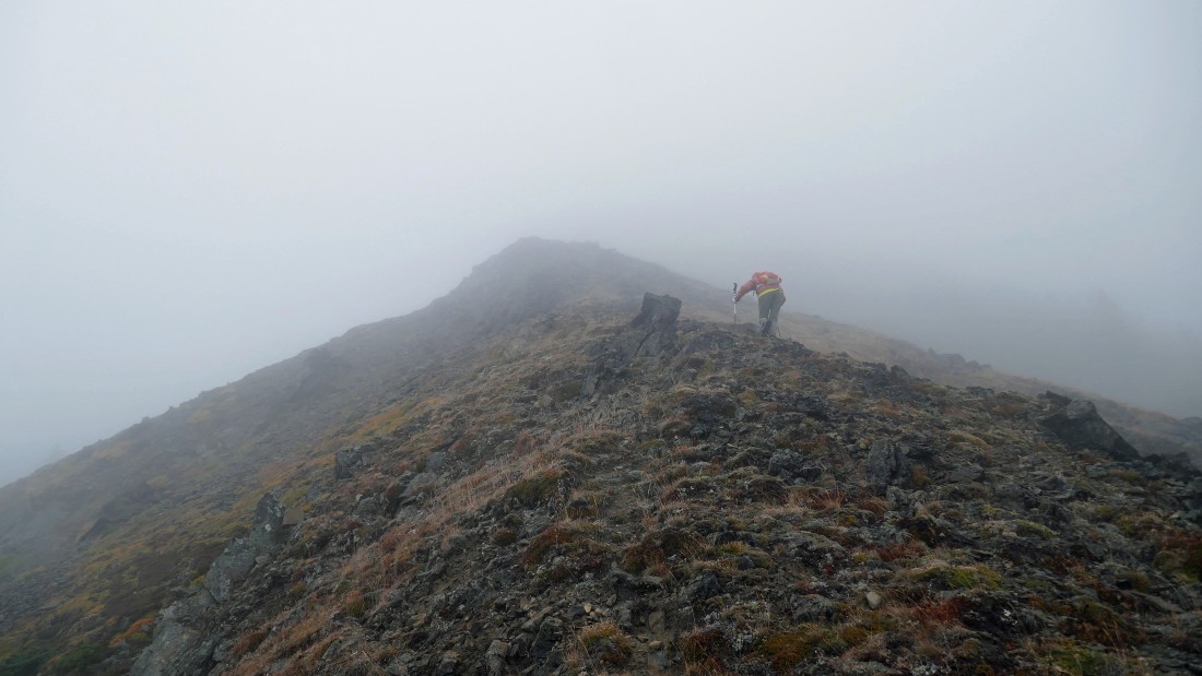
Looks like a Class 3 scramble on the east side of Point 6801 will get me up to the top.
|
|
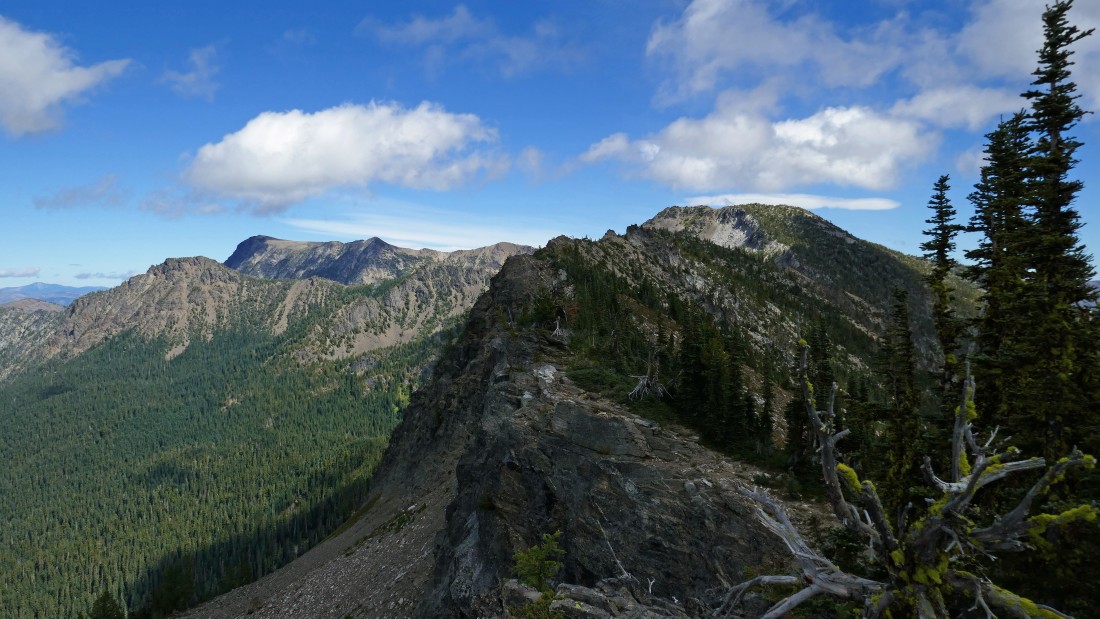
After day hiking 6.8 miles from our base camp I am standing on the summit of Point 6801... here looking east along Icicle Ridge to Frigid Mountain on the horizon in the center of the photo... with Big Jim Mountain on the far left horizon.
|
Looking south from the summit of Point 6801... with Cashmere Mountain on the left horizon... Mt. Stuart on the horizon just left of the spire in the foreground... Ingalls Peak, Fortune Peak and Hawkins Mountain are on the horizon to the right of the spire... and the tops of Sherpa, Argonaut, Colchuck and Dragontail are on the horizon between Cashmere Mountain and Mt. Stuart.
|
Looking north from the summit of Point 6801... Ladies Peak is now visible behind Cape Horn in the left center of the photo... with Snowgrass Mountain in the center of the photo... and Opportunity Mountain in the right center of the photo.
|
BarbE coming down from Chatter Creek Pass as we head back down to our base camp.
|
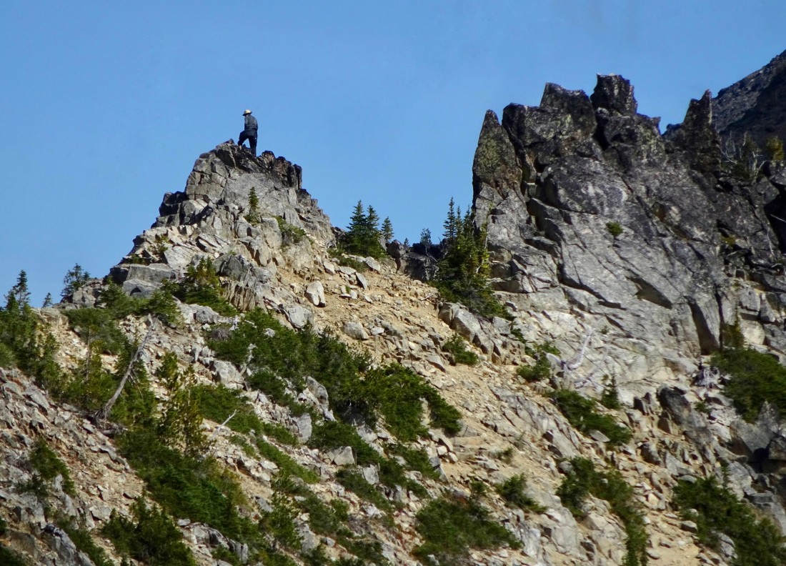
Heading down to base camp... here looking up at Point 6801... kind of glad that spire wasn't the summit... our day hike was 9.6 miles, gaining 3879 feet of elevation... with the total trip being 14 miles, gaining 5879 feet of elevation.
|
