Ball Butte - 10.19.2020
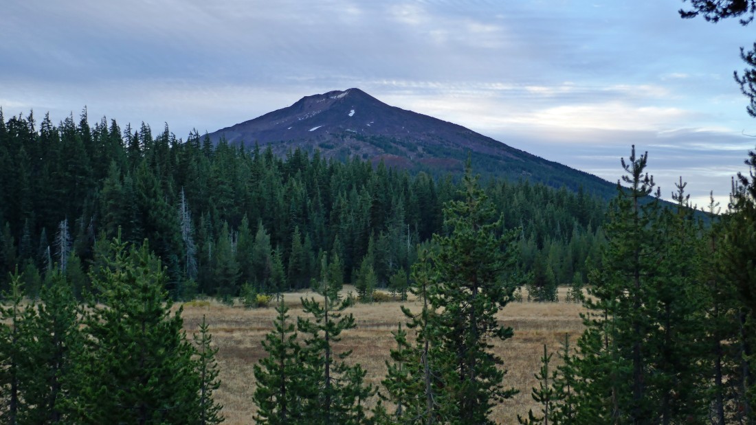
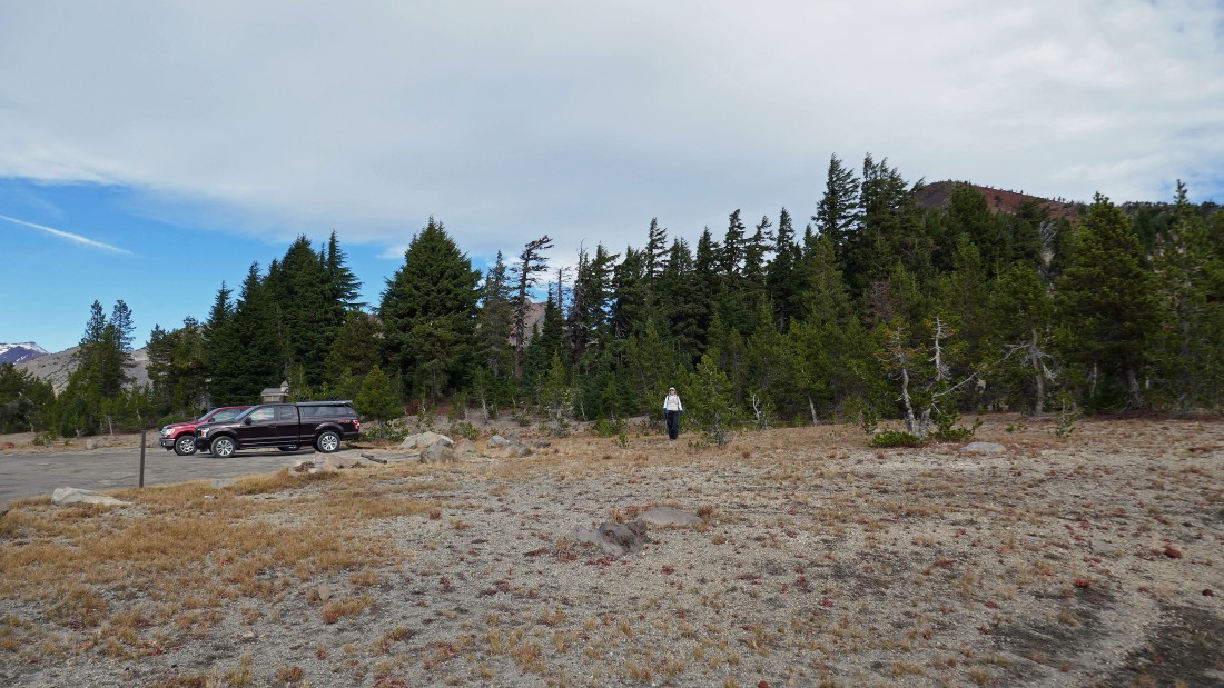
We parked in the Todd Lake parking lot... turn onto FS Road 4600-370 from Cascade Lakes Hwy and drive a half-mile to the parking lot... here is a nice view of Mount Bachelor from the parking lot.
|
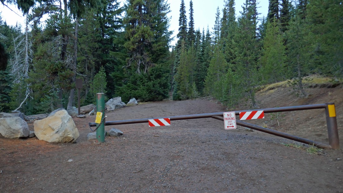
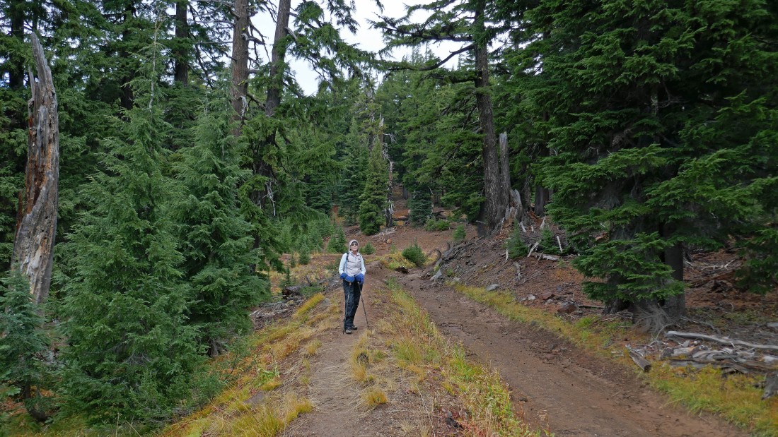
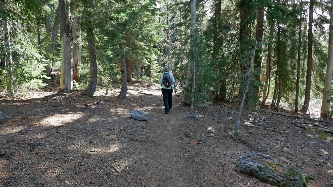
From the parking lot, start hiking up the gated road that leads to Todd Lake.
|
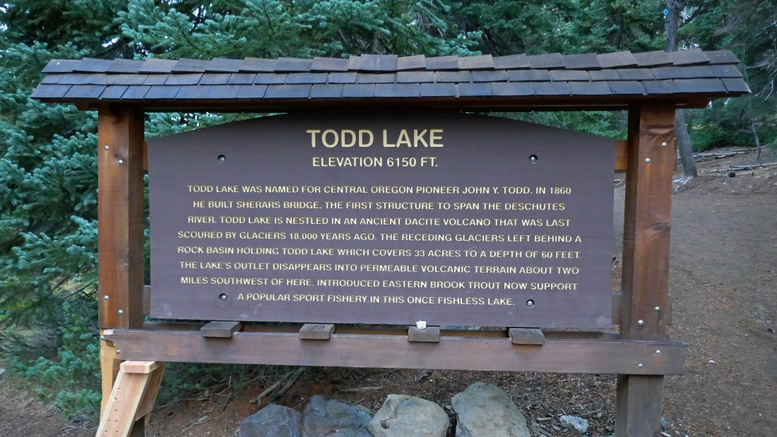
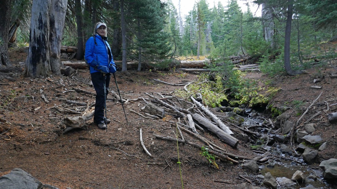
After hiking less than an eighth of a mile you will find this sign that provides a lot of history about Todd Lake.
|
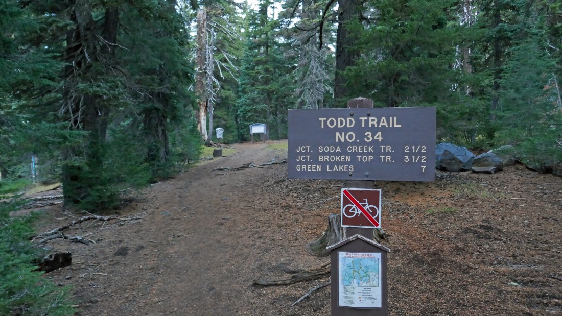
In addition to the history sign in the previous photo, you will find the beginning of Todd Trail #34 that will start gaining elevation along and above the east side of Todd Lake.
|
After hiking Todd Trail #34 for .9 miles we will leave the trail and head cross country toward Moon Mountain in search of the Crater Ditch Trail.
|
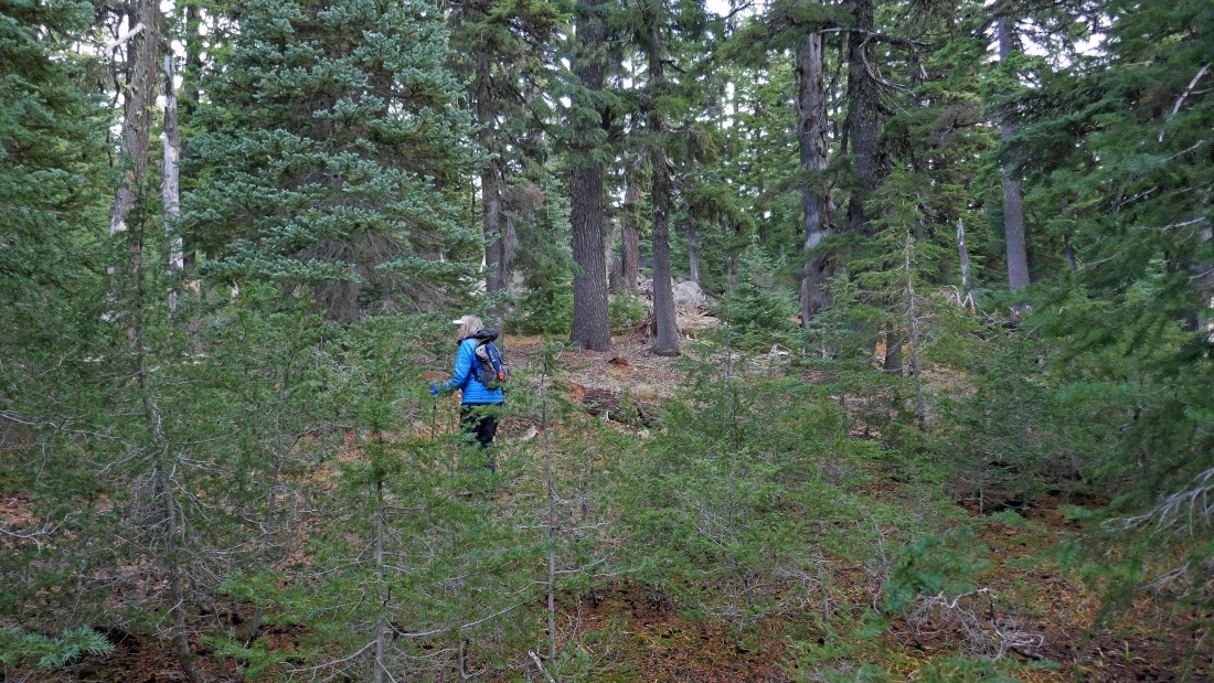
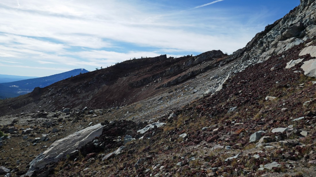
Hiking cross country in this area is pretty easy... very little brush to deal with.
|
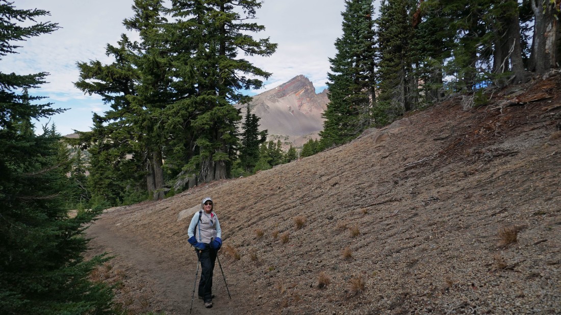
Nearing the SW side of Moon Mountain on the right... with a partial view of Ball Butte to the left of Moon... and a peek-a-boo view of Broken Top through the trees on the left.
|
After hiking a total of 2.2 miles we have started hiking on the Crater Ditch Trail (not sure why it isn't numbered, but it isn't)... and this section of the ditch is dry now.
|
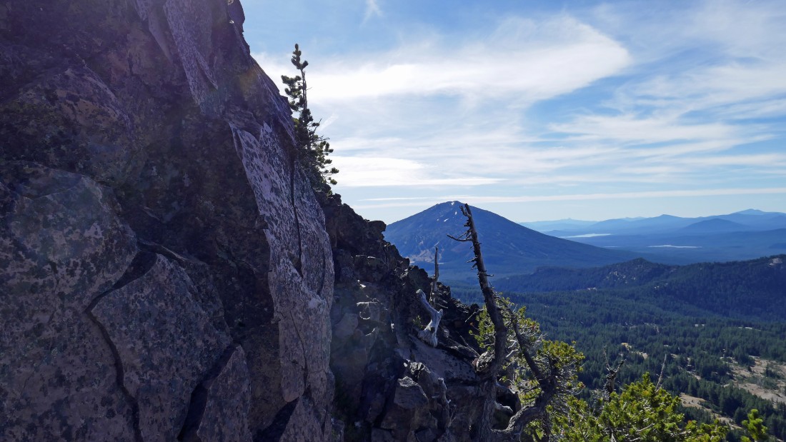
A partial view of Mount Bachelor as we hike along the Crater Ditch Trail.
|
South Sister (far left) and Broken Top from the Crater Ditch Trail... as the terrain becomes more open.
|
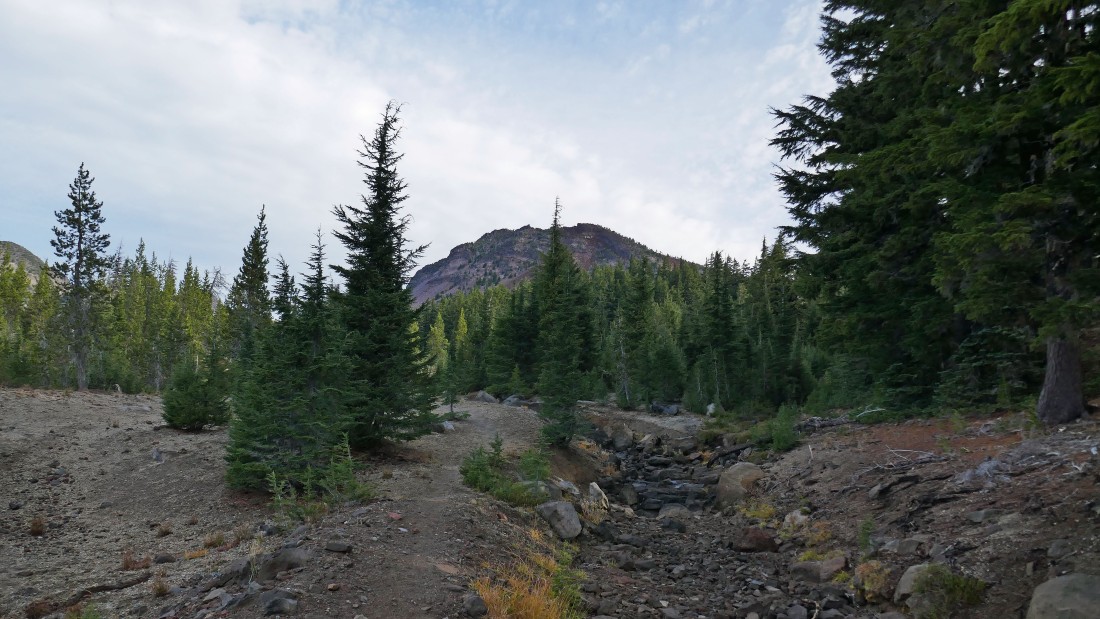
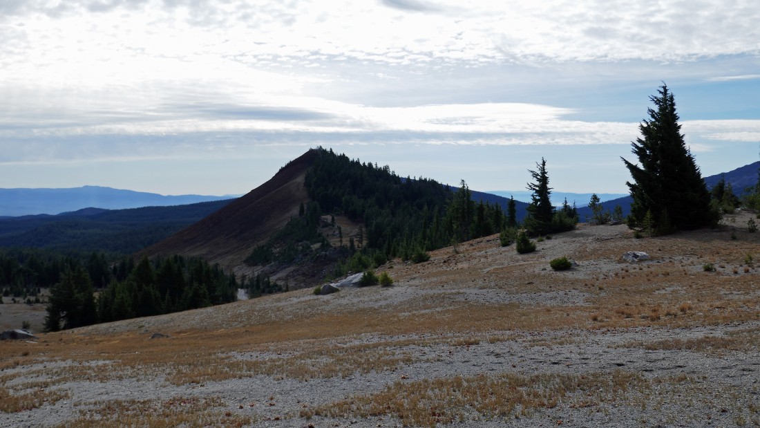
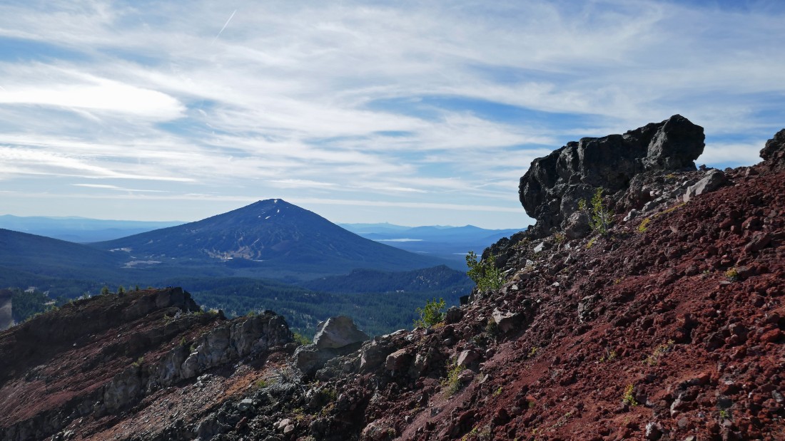
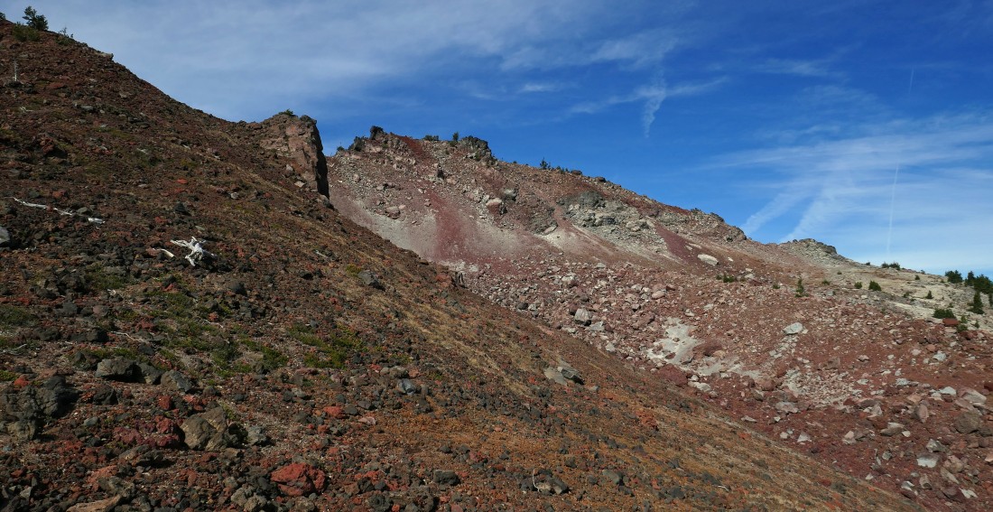
Ball Butte in the distance as we continue hiking along the Crater Ditch Trail.
|
Broken Top and Ball Butte from the Crater Ditch Trail after having hiked a total of 3.4 miles (1.2 miles was hiked on the Crater Ditch Trail)... now it is time to leave the trail and head cross country for Ball Butte.
|
After hiking cross country for a half-mile from the Crater Ditch Trail we have found Broken Top Trail #10... and we will follow it a short distance to the parking lot for Broken Top #10.
|
After hiking a total of 4.2 miles we have arrived at the parking lot for Broken Top Trail #10 which is located at the end of FS Road 4600-380... and yes we could have driven to this spot if we had been willing to put the Subaru to the test... but we weren't willing.
|
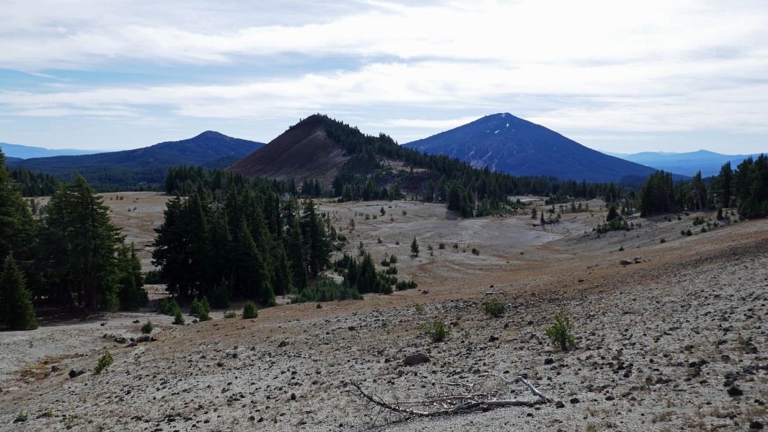
We have left the parking lot for Broken Top Trail #10 and headed cross country for the summit of Ball Butte... here looking back to the south at Moon Mountain.
|
Continuing north for the top of Ball Butte.
|
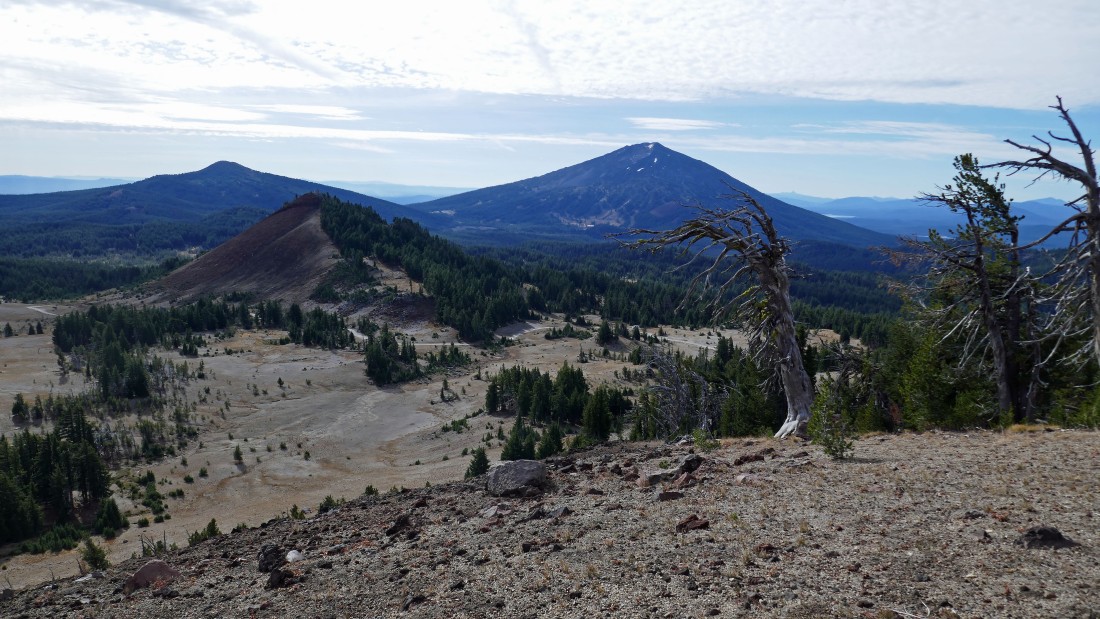
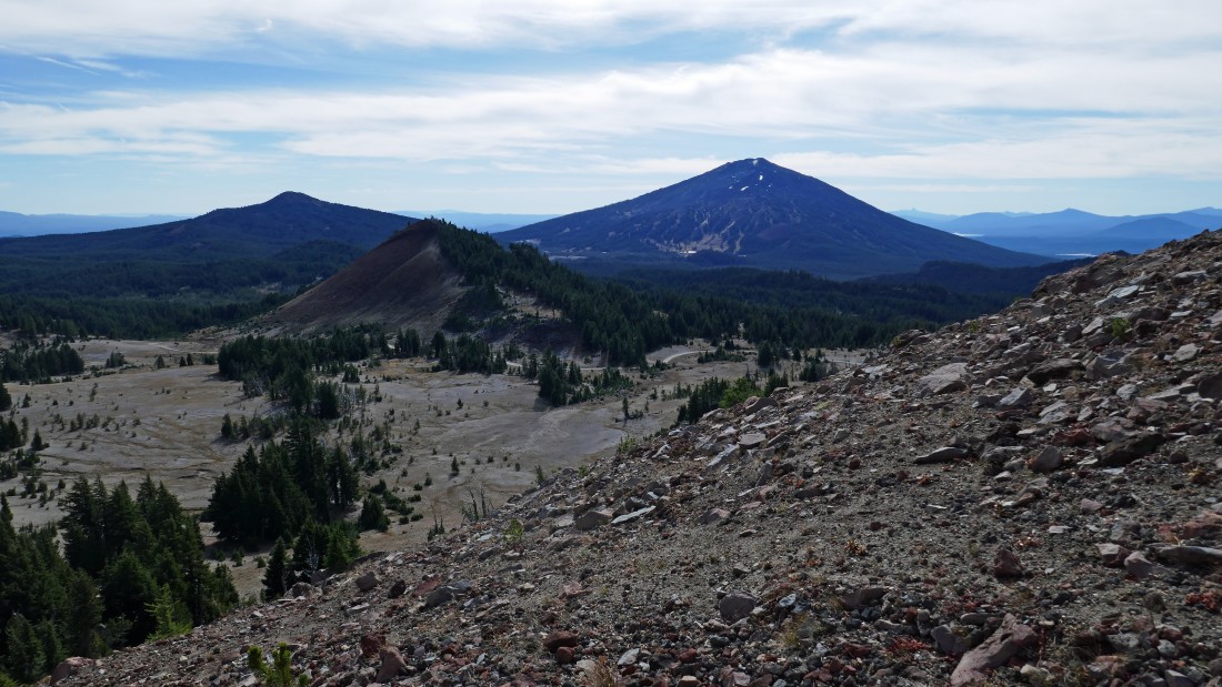
Continuing to gain elevation on the south side of Ball Butte... here looking back at Moon Mountain in the foreground... with Tumalo Mountain and Mount Bachelor in the distance.
|
Nearing Ball Butte... we will gain the ridge on the right and follow it up to the south end of the summit area which is visible here.
|
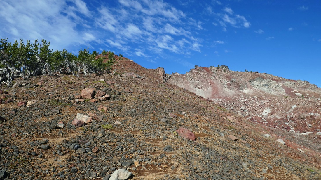
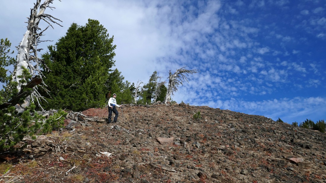
After hiking 4.8 miles we have reached the SE ridge of Ball Butte... we will hike on up to the south end of the summit area on the left... and now we can see the northern end of the summit area on the right.
|
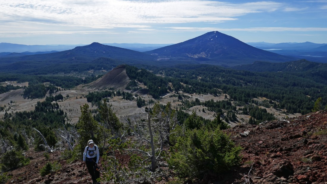
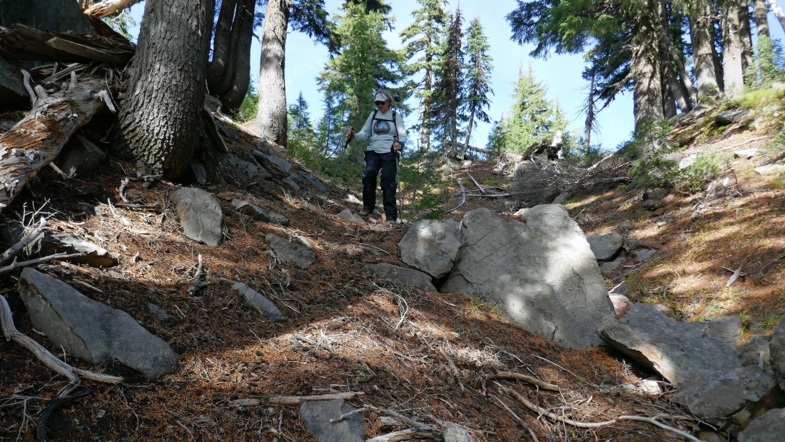
Denali Girl coming up the SE ridge of Ball Butte... with Moon Mountain, Tumalo Mountain and Mount Bachelor behind her.
|
|
Nearing the south end of the summit area above on the left... where Denali Girl will relax while I will continue on along the ridge for the true summit which isn't visible in this photo.
|
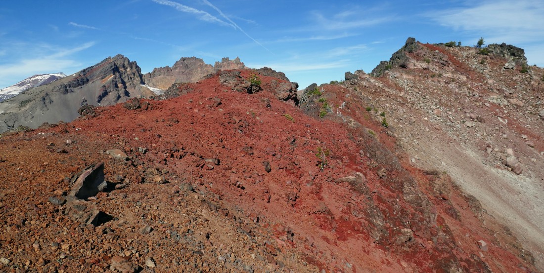
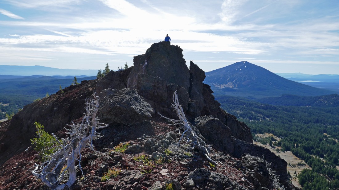
I'm a few yards from reaching the high point on the south end of Ball Butte... with Broken Top starting to come into view in the distance... but what I don't realize is that I'm very close to reaching a sheer 25 foot drop off that will force me to retreat 30 yards... then give up some elevation before traversing underneath where this photo was taken... then doing some Class 3 scrambling to get around the drop off.
|
After hiking a total of 5 miles this photo was taken at the top of the sheer 25 foot drop off mentioned in the previous photo... the true summit of Ball Butte is still not visible in this photo... and I won't see it until I get over to what I call the 'Ball Butte Toadstool' out there further along the ridge.
|
Looking back at Denali Girl standing on top of the sheer 25 foot drop off on the south end of the Ball Butte summit area... with Mount Bachelor and the Crane Prairie Reservoir in the distance on the right.
|
After having dealt with the sheer 25 drop off I thought I was done with the hard stuff... but no, I had another sheer drop off to deal with along the ridge leading to the true summit... here, looking back at the second sheer drop off as I continue along the ridge.
|
|
Nearing the south end of the 'Ball Butte Toadstool'... it doesn't look like a toadstool from here, but lets see what it looks like from the other side after I work my way around it on the right.
|
Now on the north side of the toadstool... here looking back at Denali Girl in the left foreground... just a blue speck standing on top of the first sheer 25 foot drop off... with Mount Bachelor in the distance.
|
I'm finally done with the hard stuff... and can see the true summit of Ball Butte on the extreme far right... just a pile of orange, red and brown rocks.
|
After hiking a total of 5.3 miles I am looking at Broken Top and Broken Hand from the summit (8091') of Ball Butte.
|
From the summit of Ball Butte I'm looking at Mount Bachelor in the distance on the left... with a very shallow Sparks Lake on the far right... and Elk Lake and Crane Prairie Reservoir between them.
|
I have left the Ball Butte summit and made the easy decision to not trace my steps back along the gnarly ridge to meet up with Denali Girl... instead, I am going down the east side of the true summit and will work my way back over to meet up with Denali Girl on the SE ridge of Ball Butte... I can see her standing up on top of the first sheer 25 foot drop off in the center of the photo.
|
Back down from the Ball Butte summit... on easier terrain now... working my way over to meet up with Denali Girl on the SE ridge of Ball Butte.
|
Back on the SE ridge of Ball Butte where I will meet up with Denali Girl... here looking back at my route from the true summit of Ball Butte.
|
Time to get off of Ball Butte by heading for Moon Mountain in the foreground.
|
Almost back to Moon Mountain... we came into the Broken Top Trail #10 parking area from the west side of Moon Mountain... but we will take a more direct cross country route back to the car by hiking around the east side of Moon Mountain.
|
|
After having hiked a total of 7.4 miles we have more or less circumnavigated Moon Mountain on this hike... and have returned to the Crater Ditch Trailhead area... where we got this view of South Sister and Broken Top.
|
We hiked a very short distance on the road (FS 4600-378) that leads over to the Crater Ditch Trailhead... before leaving it and heading cross country back to Todd Trail #34... South Sister and Broken Top are on the horizon.
|
Continuing cross country... in search of Todd Trail #34.
|
After hiking a total of 8.5 miles we have found Todd Trail #34... leaving an easy one mile trail hike back to the car.
|
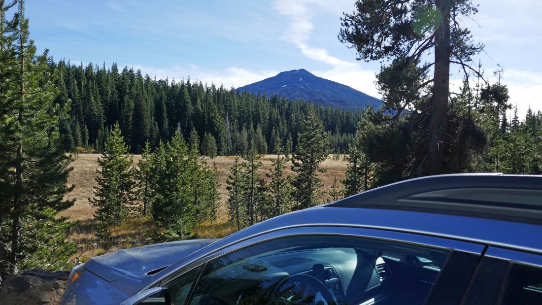
Finally back to our car in the Todd Lake parking lot... the total trip was 9.5 miles, gaining 2265 feet of elevation... and Mount Bachelor is still there!
|
