Cyclops Rock - 1.8.2021
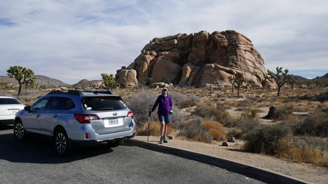
We drove 8.9 miles on Park Boulevard from the west entrance to Joshua Tree National Park... then turned left at Intersection Rock... drove a short distance beyond the entrance to Hidden Valley Campground and parked in a paved pull-out... on the west side of Cyclops Rock.
|
Hiking around the south end of Cyclops Rock we saw a climber.
|
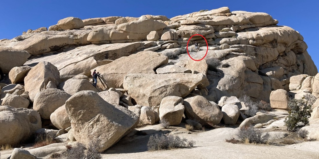
The scramble route goes up the east side of Cyclops Rock... here I'm watching two young ladies begin their scramble... I will take the red route up to the summit... easy to draw the red line after spending more than an hour to actually figure out the route.
|
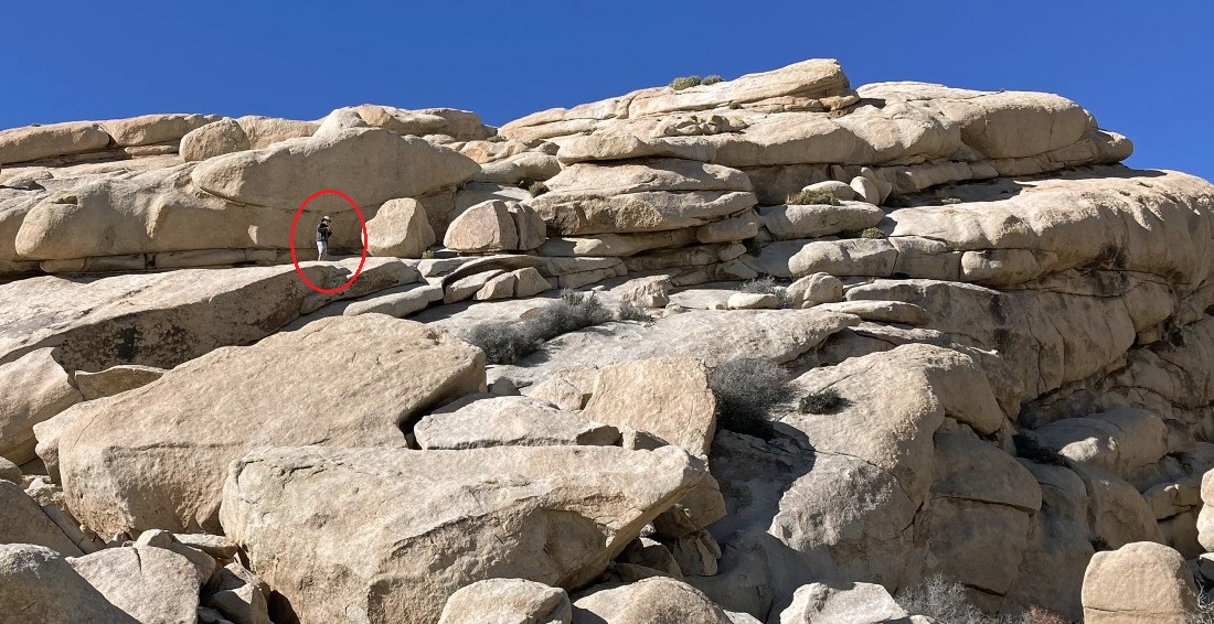
Denali Girl took this photo of me about half-way up the rock.
|
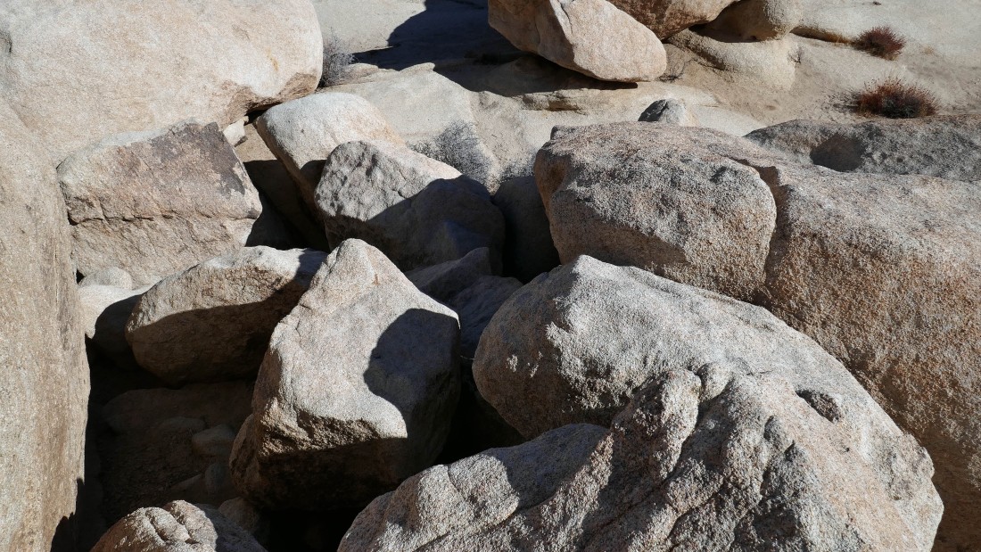
I'm going to go around the three boulders on the left.
|
Denali Girl took this photo after I went around the three boulders in the previous photo.
|
Continuing up on fairly easy terrain.
|
Getting closer to the summit... standing near the eye of the Cyclops.
|
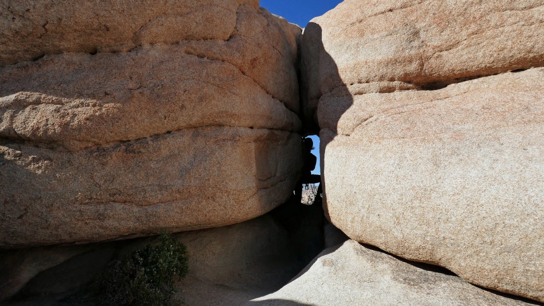
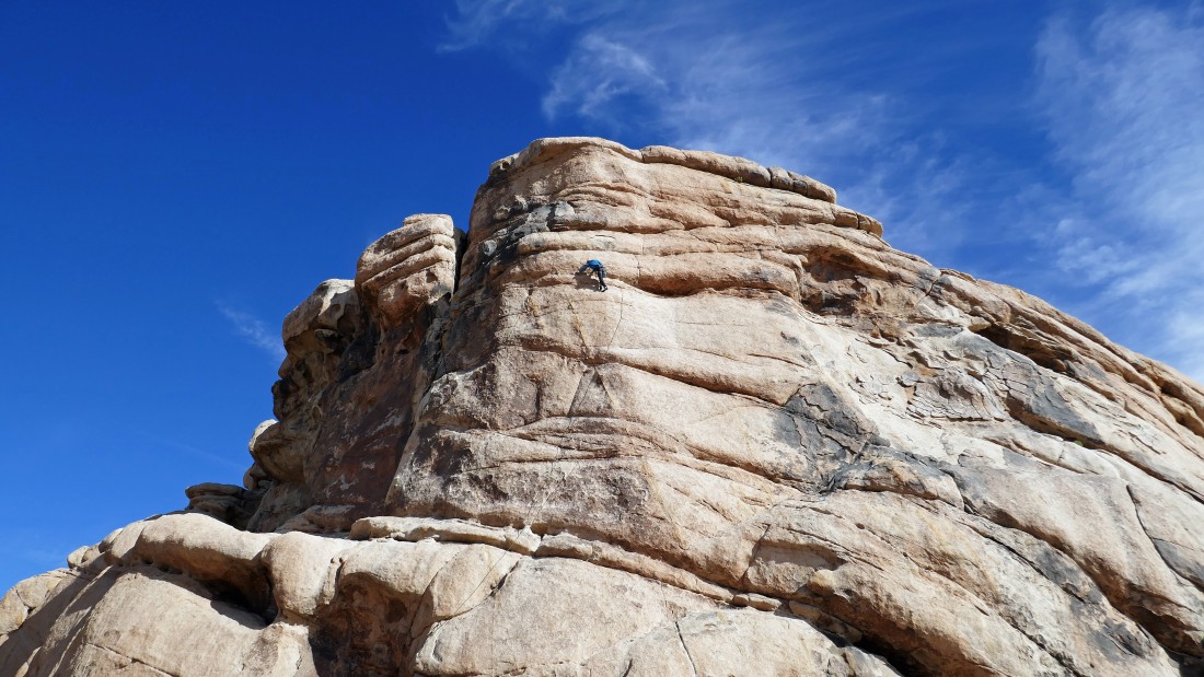
Standing near the eye of the Cyclops... watching a rock climber step into the eye after having climbed up from the west side.
|
I decided to explore the summit area from the south side.
|
|
Ugh... the south side of the summit area is not the true summit... time to back track and head over to the north side of the summit area.
|
Denali Girl took this photo of me heading for the north side of Cyclops Rock.
|
I will need to work around this shaded area to get an easy route on up to the summit.
|
Denali Girl got this shot of me on the summit of Cyclops Rock.
|
On the summit (4305') of Cyclops Rock... looking west to Intersection Rock in the left center of the photo... and the Hidden Valley Campground in the center of the photo... with part of the Wonderland of Rocks on the far right.
|
|
A closer look at Intersection Rock from the summit of Cyclops Rock... with Hidden Valley behind the rock... our car is parked at the very bottom of the photo.
|
On the summit of Cyclops Rock... looking NE down Queen Valley to Queen Mountain on the far left horizon... and SE down Lost Horse Valley to Ryan Mountain in the right center of the photo.
|
Heading back down Cyclops Rock... with Denali Girl down there making sure that I don't do anything stupid.
|
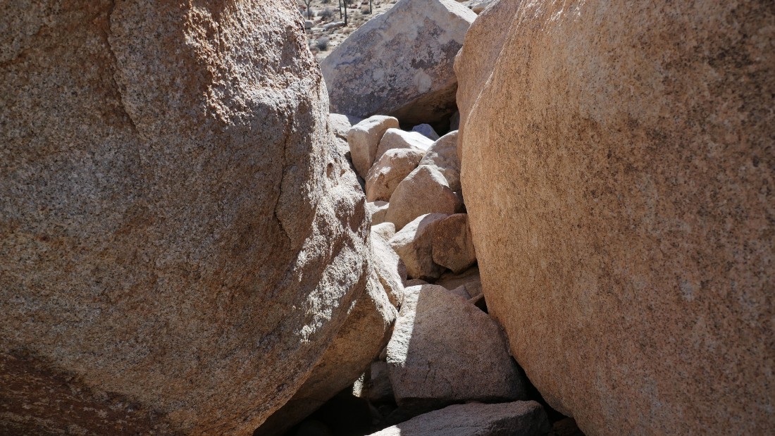
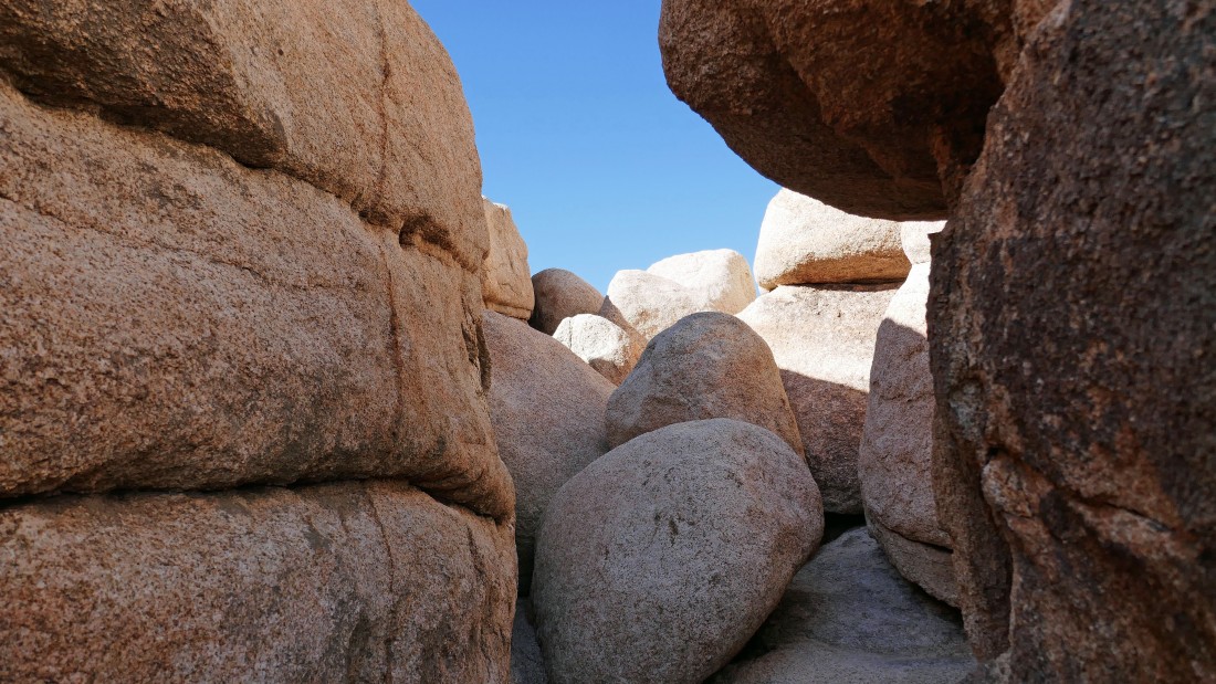
One of the rock corridors on the way back down from the summit of Cyclops Rock.
|
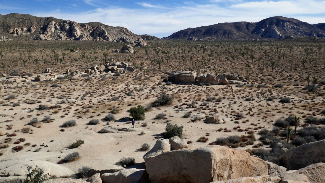
The last pile of boulders that I have to deal with to get back down to the desert floor... the total hike/scramble was a half-mile... gaining 196 feet of elevation to a summit that is only 120 feet above the desert floor... looks like I did a lot of up and down exploring to find my final route to the top.
|
