Tanzbodeli - 1.14.2021
|
From the west entrance pay station at Joshua Tree National Park we drove 15.1 miles on Park Blvd and turned left onto Big Horn Pass Road... then stayed right after driving .4 miles and continued another 1.4 miles to the trailhead at the end of the road... the path will take us over the dip in the hills in the foreground directly above the car.
|
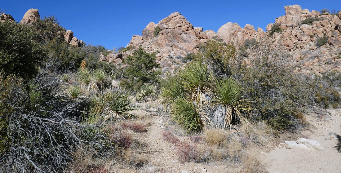
The path will take us across the desert floor to the far right in the photo... and eventually take us up to the horizon rock formations in the center of the photo.
|
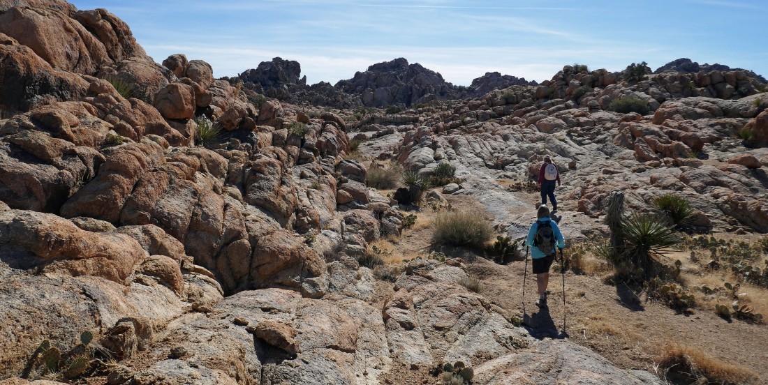
After hiking a half-mile on the obvious path/road we will pick up a more faint path at the pile of black boulders... as we head for the the 'V' gap in the center of the photo.
|
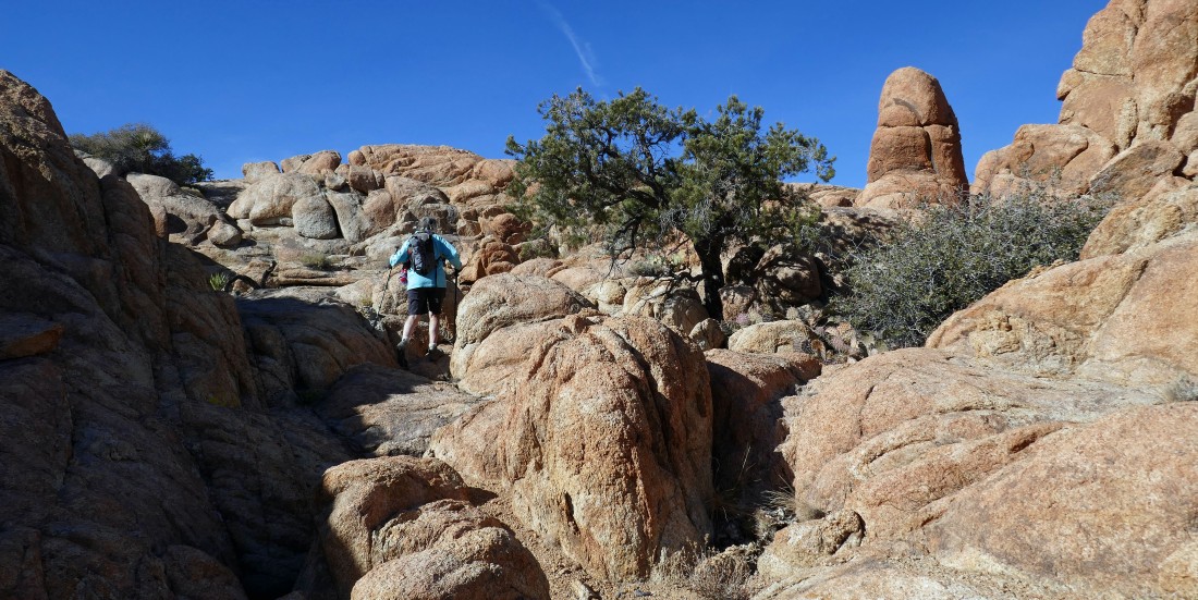
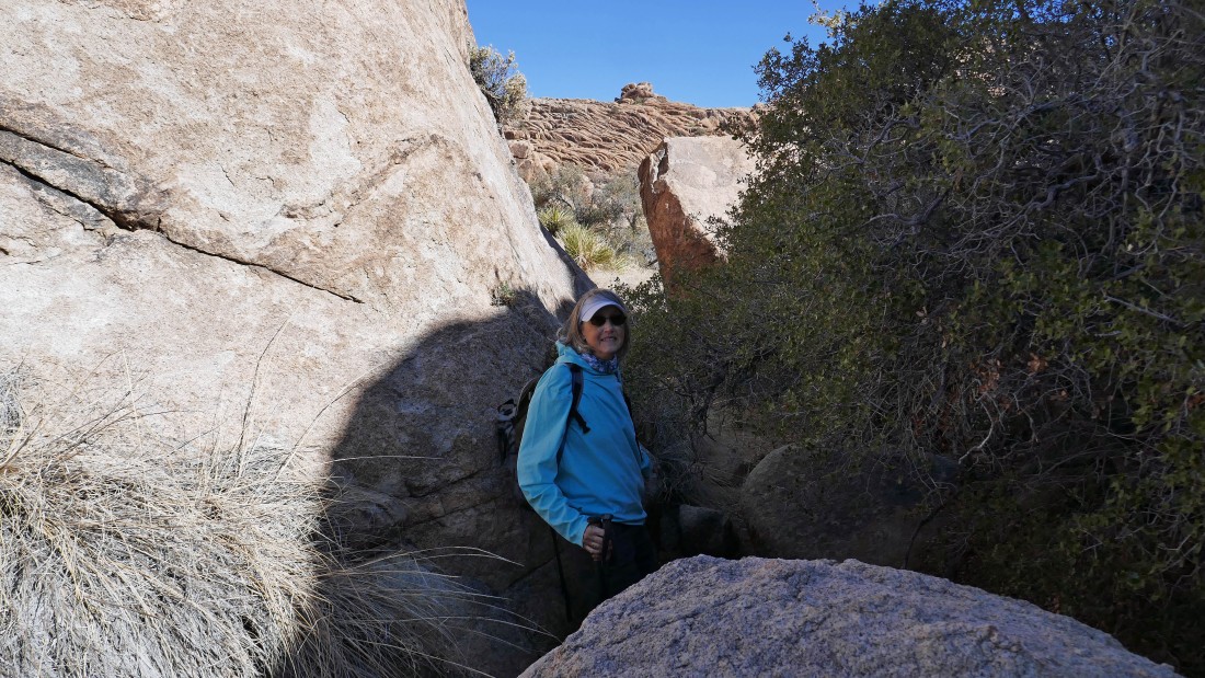
Denali Girl nears the 'V' gap.
|
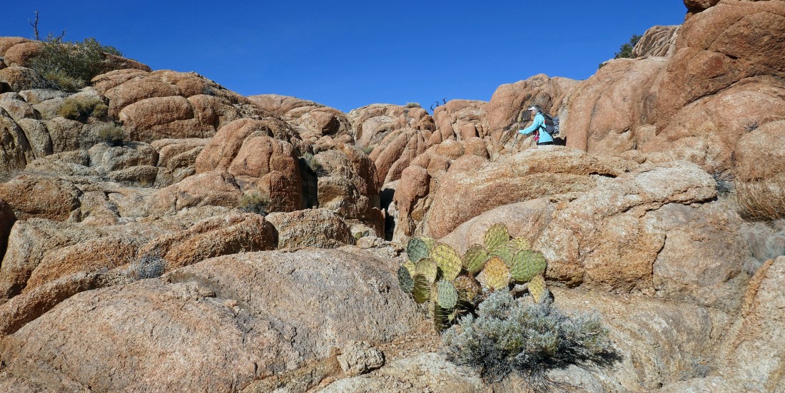
After hiking a total of one mile we have reached the 'V' gap and found a nice little plateau on the west end of Queen Mountain... now we will head for the 'V' gap in the right center of the photo.
|
Leaving the main wash and taking the path on the left... heading for the 'V' gap in the previous photo.
|
Nearing the 'V' gap.
|
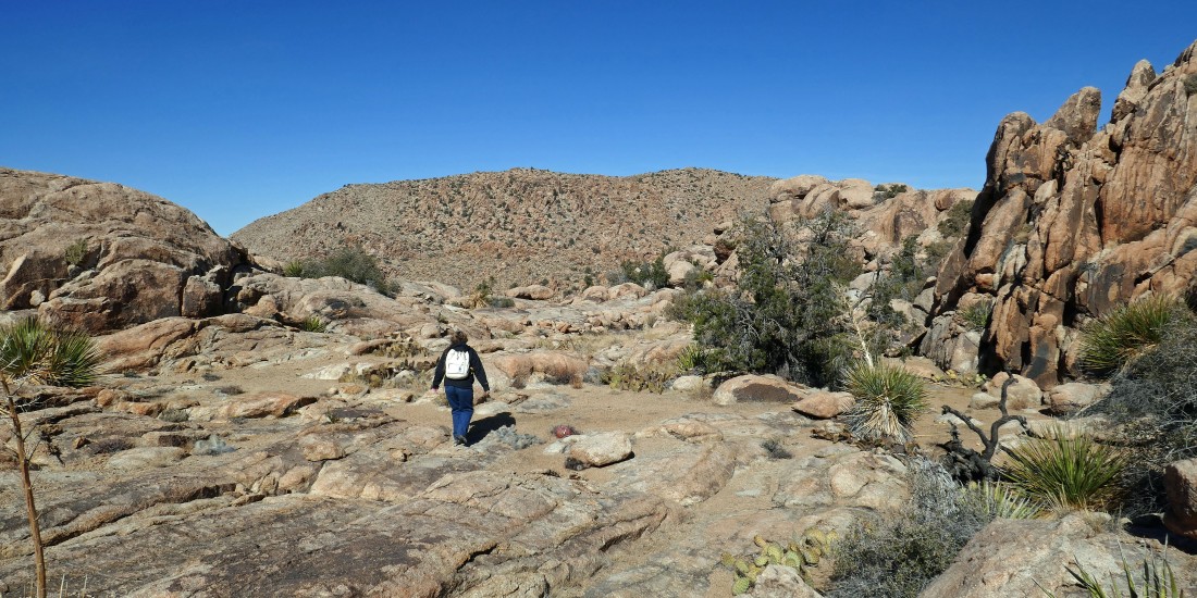
Voila!... after hiking a total of 1.4 miles we have reached the top of the second 'V' gap and found another plateau... and we will follow an obvious wash as it takes us north.
|
Continuing to hike north in a large wash on the west end of Queen Mountain.
|
After hiking a total of 2.1 miles we will leave the large wash and head into what I call a mini-canyon.
|
|
Hiking NW in this mini-canyon.
|
Continuing NW in this mini-canyon.
|
Continuing NW in this mini-canyon.
|
Almost out of the mini-canyon.
|
Out of the mini-canyon and onto the highway that enters Tanzbodeli.
|
|
After hiking a total of 2.3 miles we have reached the entrance to Tanzbodeli... much different than the one in Lauterbrunnen, Switzerland... but every bit as intriguing!
|
Denali Girl says that we should go out to the high point in Tanzbodeli... with the San Bernardino Mountains on the right horizon.
|
Dealing with a lot of little ups and downs on our way to the Tanzbodeli high point.
|
I'm on the summit (~4860') of Tanzbodeli... looking back to the NE as Denali Girl nears the summit.
|
After hiking a total of 2.5 miles Denali Girl is relaxing on the summit of Tanzbodeli on the west end of Queen Mountain... with the Little San Bernardino Mountains behind her... and the San Bernardino Mountains on the right horizon.
|
|
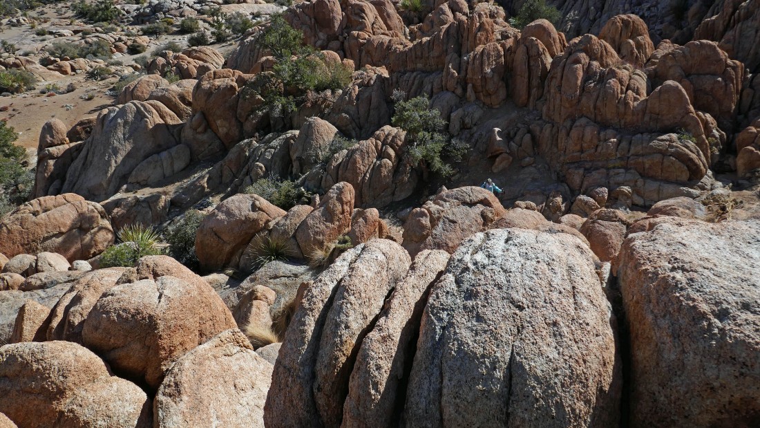
From the summit of Tanzbodeli on the west end of Queen Mountain... looking east across Tanzbodeli toward the summit area of Queen Mountain somewhere in the center of the photo... the map shows Queen Mountain to cover somewhere in the 16-20 square mile range.
|
Denali Girl coming down from the Tanzbodeli summit... we are going over to an area we noticed from the summit that looks like a dance floor.
|
Star Dancer is doing the 'Tanzbodeli Boogie' on the ballroom floor in Tanzbodeli.
|
Star Dancer and Denali Girl on the ballroom floor in Tanzbodeli.
|
Exploring north from the ballroom floor on an intersting shelf.
|
|
Looking back as Denali Girl hikes on the shelf north of the ballroom floor.
|
We found a nice little passage that will take us from the ballroom shelf back into Tanzbodeli.
|
The rocks almost make me dizzy.
|
Did I mention that the rocks almost make me dizzy.
|
Denali Girl poses next to the water slide.
|
Time to head out of Tanzbodeli... pretty much looking for the highway at the entrance.
|
Almost out of Tanzbodeli.
|
Back on the highway.
|
One last look at Tanzbodeli before heading back down the mini-canyon.
|
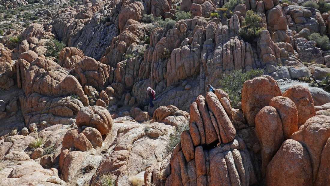
Star Dancer and Denali Girl start back down the mini-canyon.
|
Star Dancer and Denali Girl heading down the mini-canyon.
|
Star Dancer and Denali Girl heading down the mini-canyon... almost back down to the wash in the upper left of the photo.
|
After hiking a total of 3.4 miles we have closed the loop portion of our hike... and are heading south back to our car.
|
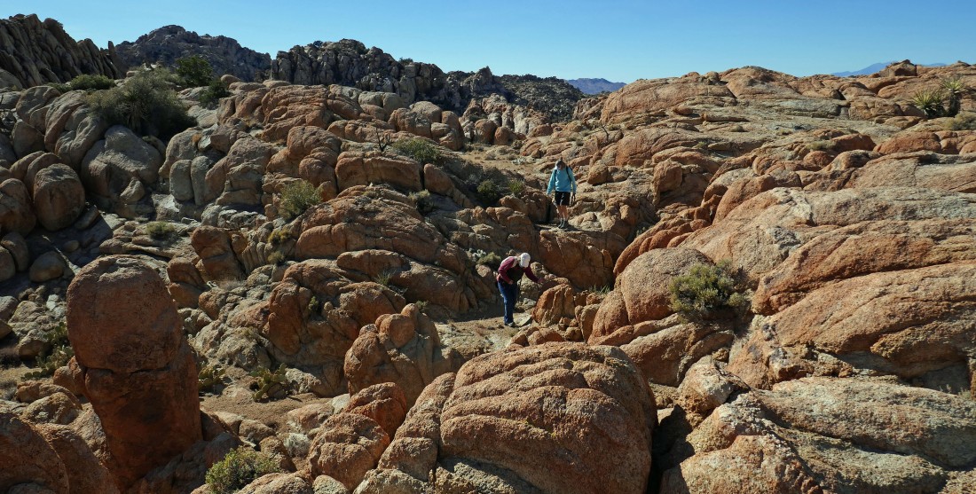
One of the Queen's knights!
|
After hiking a total of 4.2 miles we are leaving our second plateau and heading back down to the first plateau... with the desert floor out there in the distance.
|
|
Getting ready to leave the first plateau.
|
Leaving the first plateau and heading for the desert floor below.
|
After hiking a total of 4.7 miles we are back on the desert floor... we can see the pile of black boulders in the distance.
|
After hiking a total of 4.9 miles we have returned to the pile of black boulders... where we will pick up a more obvious path that will lead us back to the car.
|
We can see our car out there in the center of the photo... leaving a quarter mile hike back to the car... the hike was 5.4 miles, gaining 861 feet of elevation.
|
