Valhalla Dome - 2.11.2021
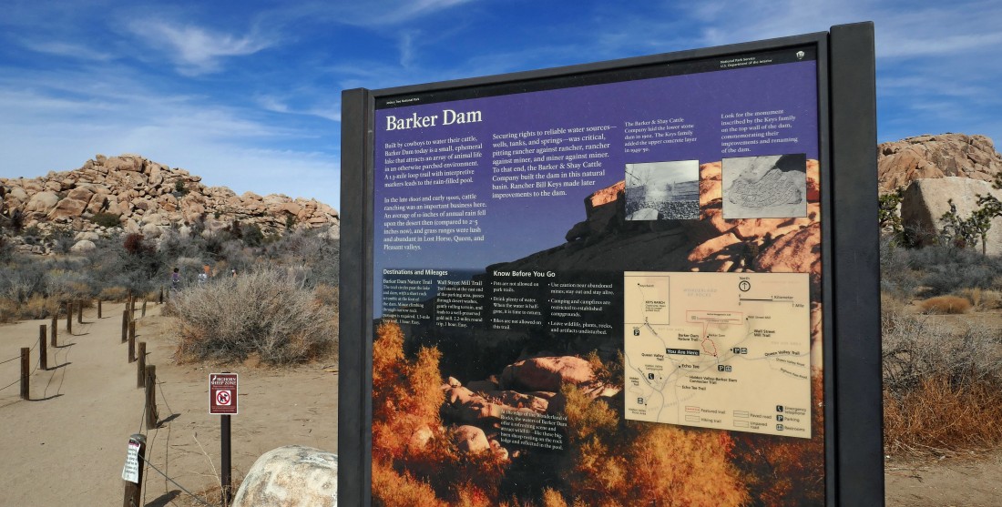
From the west entrance pay station to Joshua Tree National Park... drive Park Boulevard for 8.9 miles and turn left... then drive 1.5 miles to the parking lot for Barker Dam.
|
From the parking lot we hiked a short distance and will kind of go through a funnel to where things open up at Barker Lake.
|
After hiking a half mile we have passed through the funnel and arrived at a waterless Barker Lake... the Valhalla Dome summit is up there somewhere through the gap on the extreme far right.
|
A shot of Barker Dam... there might be a puddle over there by the dam... but it is too early in most seasons for there to be a lot of water yet.
|
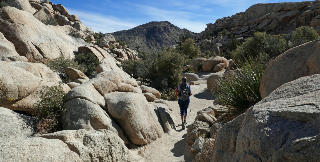
Later in the year Denali Girl would be standing in several feet of water... we will follow a good path through the brush on the right side of the photo.
|
|
Heading for some nice rock slabs.
|
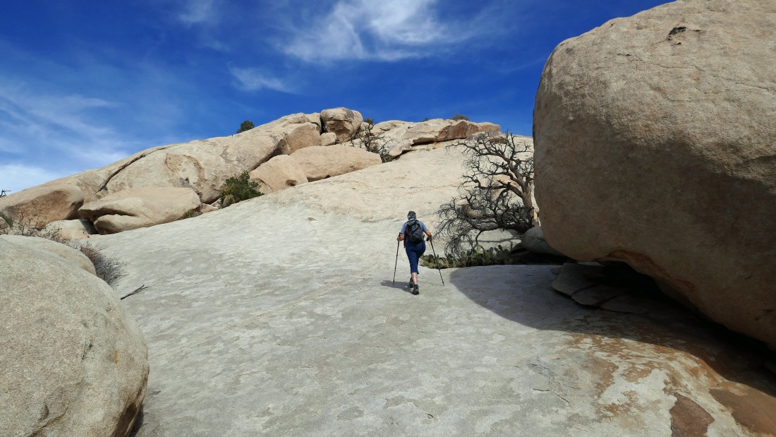
Starting up the nice rock slabs.
|
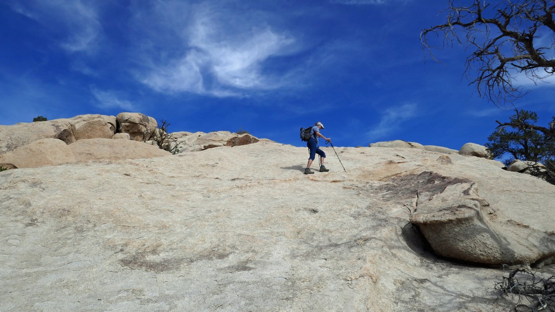
Now hiking on a 30 foot stretch where the erosion almost made it feel like a trail.
|
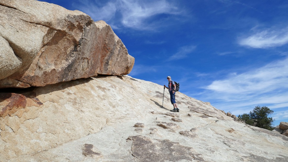
The steepest section might have been going around this corner.
|
Looking back down at an empty Barker Lake... with Ryan Mountain on the left horizon.
|
|
Going through some big boulders, but there are at least two easy routes.
|
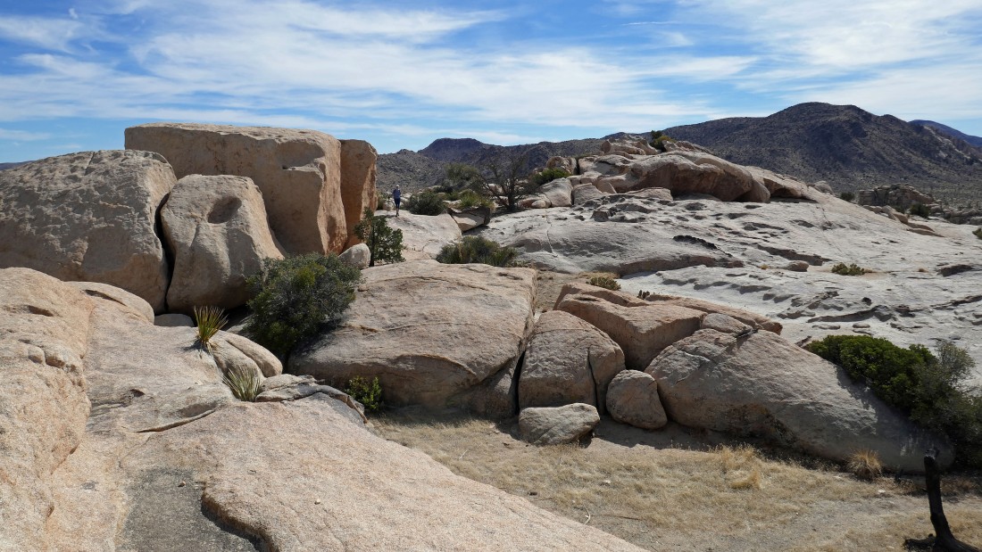
Through the big boulders and our first really nice view of the Valhalla Dome summit.
|
Talk about erosion!!!!
|
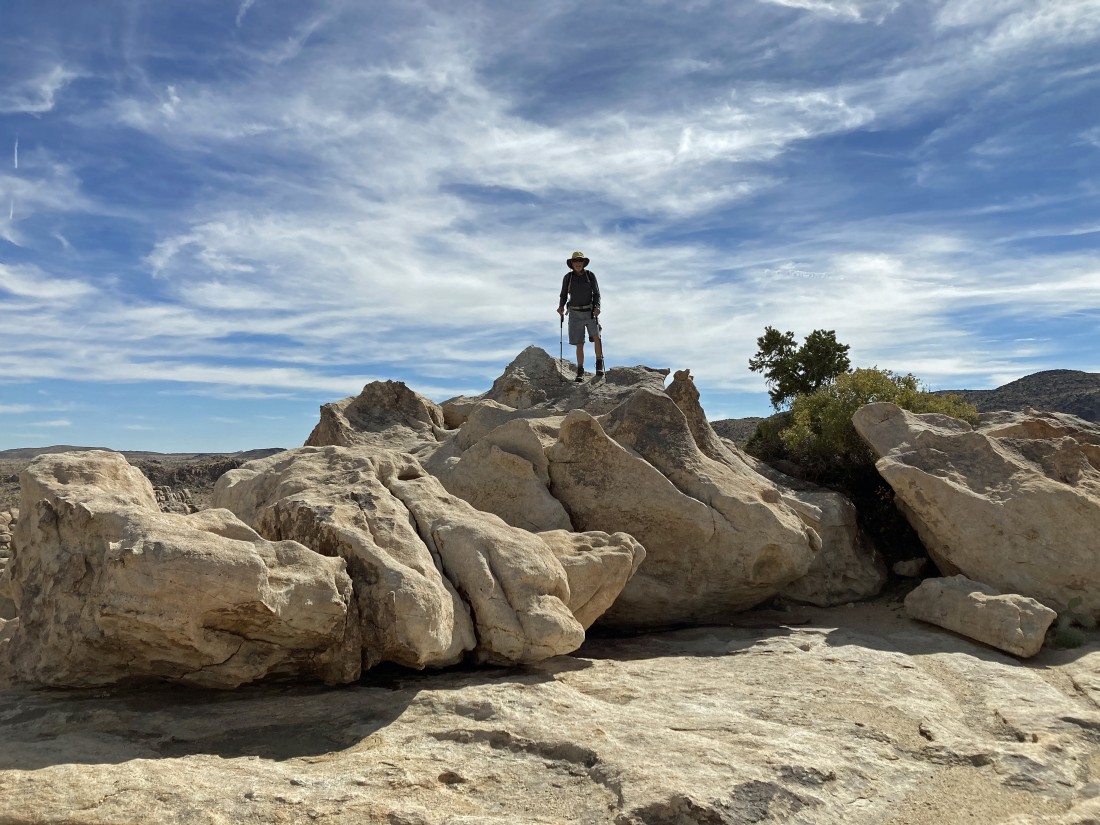
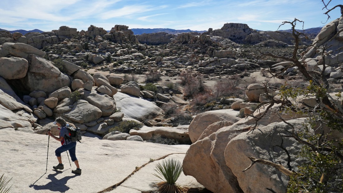
After hiking .75 miles Denali Girl got this shot of me on the summit (~4500') of Valhalla Dome.
|
Looking NW (left) to the Astro Dome in the center foreground... then north beyond the Wonderland of Rocks to NE (right) to the west end of Queen Mountain on the horizon.
|
|
Looking NE across the Wonderland of Rocks to Queen Mountain.
|
Looking south to Ryan Mountain in the right center of the photo... with Queen Valley on the left... and Lost Horse Valley on the right.
|
Looking SW to Lost Horse Valley on the left... and beyond the boulders to Quail Mountain on the horizon in the right center of the photo... the high point in JTNP.
|
We left the Valhalla Dome summit and headed NW toward the Astro Dome.
|
Our new location... and good views NW (left) to the Astro Dome on the far left to NE (right) to Queen Mountain on the right.
|
|
A closer look at the Astro Dome (left) to the top of The Camel on the right.
|
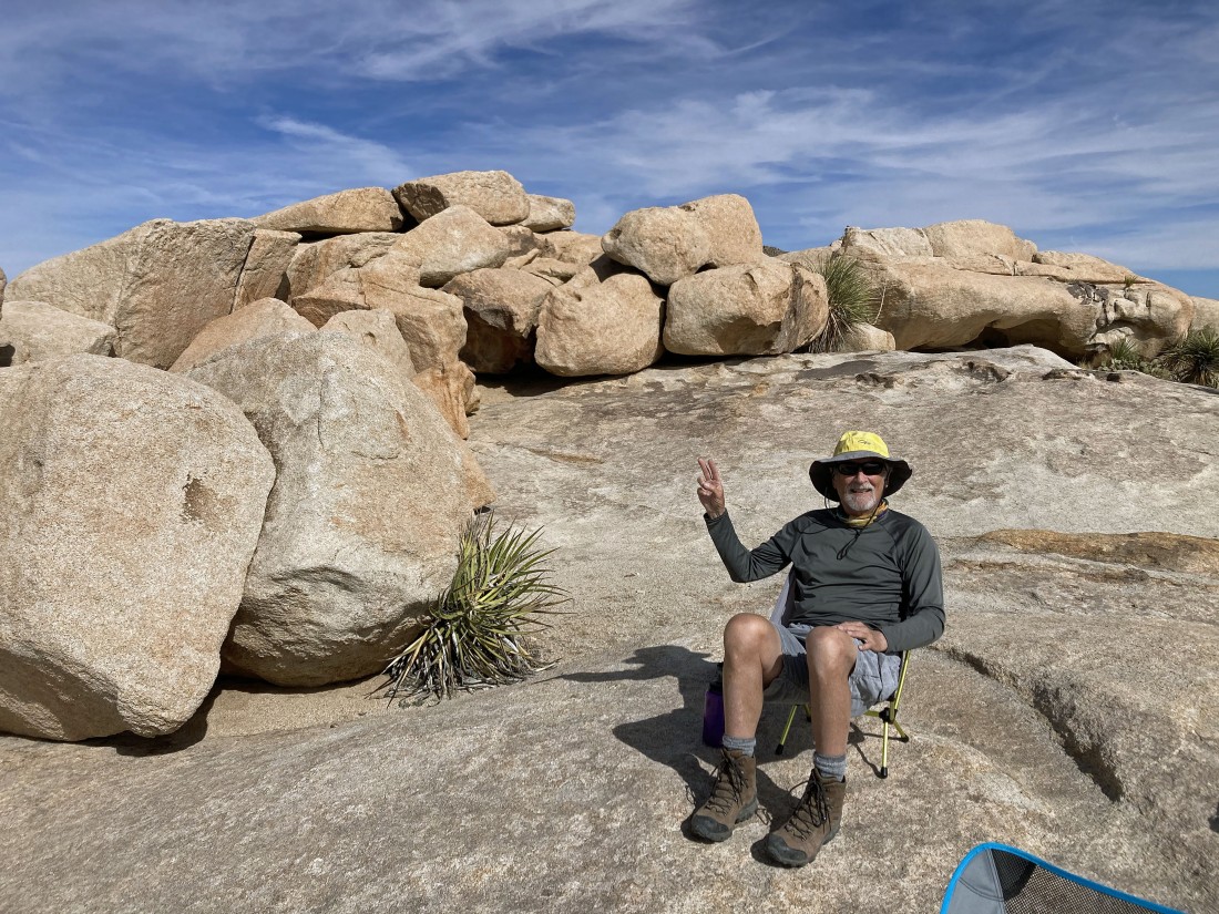
Relaxing on Valhalla Dome... just happy to be here.
|
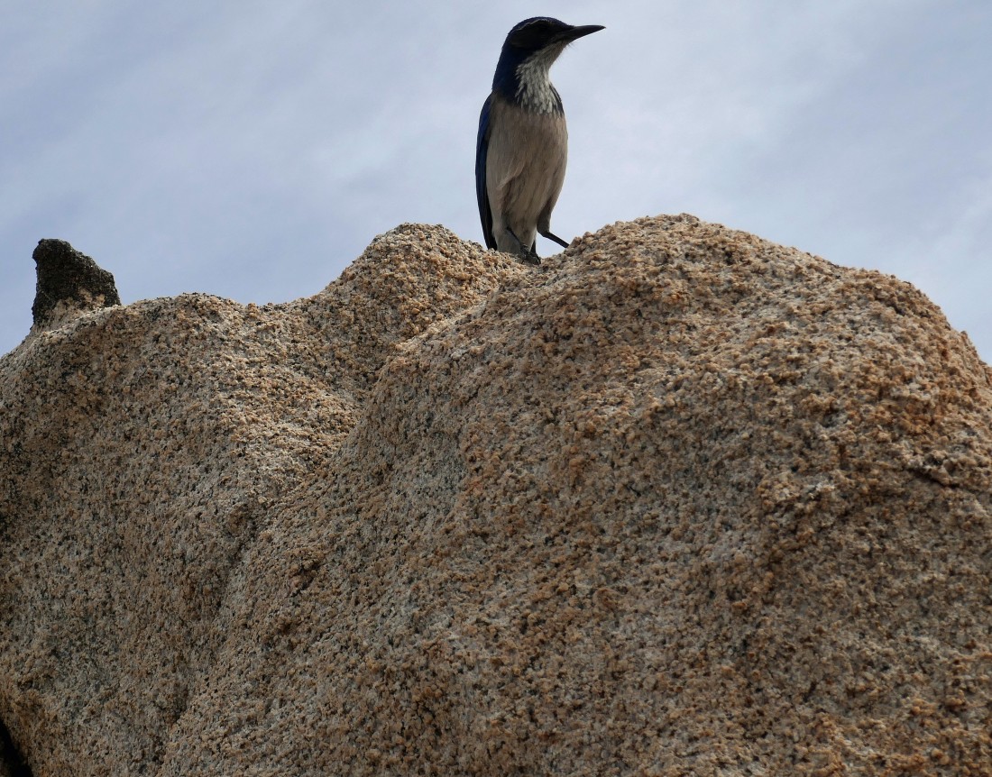
This dude decided to join us... no idea what it is... but it had a dark blue back and tail.
|
Denali Girl takes in the views... I'm looking SW to Quail Mountain on the center horizon... and looking NW to a snow covered San Gorgonio Mountain on the right center horizon.
|
Denali wanted to get a closer look at the terrain that comes up the valley from Barker Lake... Quail Mountain on the extreme far left horizon... with the snow covered San Gorgonio Mountain on the right center horizon.
|

Leaving the Valhalla Dome summit area and starting down the rock slabs.
|
Denali Girl leads the way... toward a dry Barker Lake.
|
Almost down to Barker Lake.
|
Back in the funnel that will take us back to the parking lot.
|
The parking lot is a stone's throw away... the hike was 1.7 miles, gaining 373 feet of elevation.
|
