Ryan Mountain - 3.2.2021
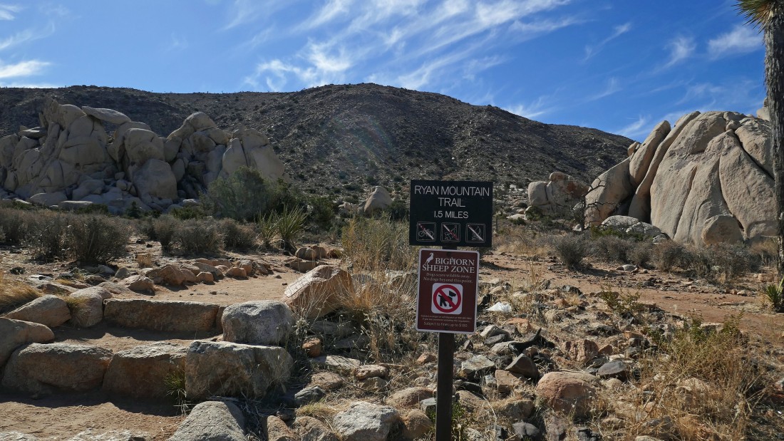
We parked at the Ryan Mountain Trailhead in Joshua Tree National Park... a very popular trailhead with room for roughly 30 cars... come early (especially on weekends) to make sure you get a parking spot.
|
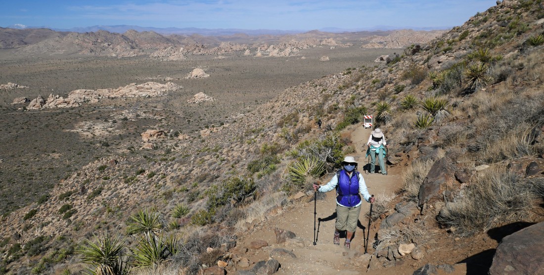
Every step is basically uphill... here gaining elevation and looking back at the parking area.
|
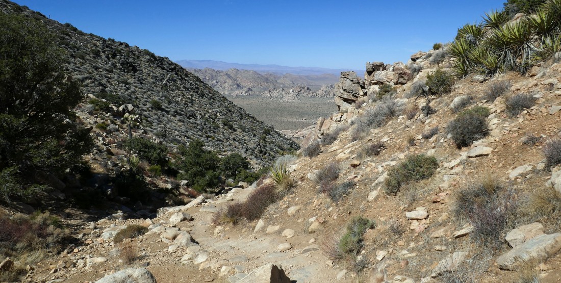
Looking west toward Quail Mountain in the center of the photo... the high point in the park... with the 'Hall of Horrors' the white rocks in the left center foreground.
|
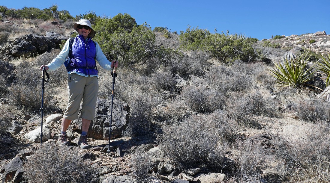
Continuing to gain elevation on the Ryan Mountain Trail... with the Hall of Horrors in the left foreground.
|
Every step higher gives broader views... with the Saddleback Rocks area in the left foreground... a popular rock climbing area... San Jacinto Peak is on the left horizon... it sits directly above the city of Palm Springs.
|
|
Still gaining elevation on the Ryan Mountain Trail... here looking back to the NW... across the Wonderland of Rocks to Yucca Valley on the horizon... with the west shoulder of Queen Mountain on the right horizon.
|
Almost to the summit of Ryan Mountain in the center of the photo.
|
A few more steps will put us on the summit (5457') of Ryan Mountain.
|
From the Ryan Mountain summit... looking SW beyond Keys View on the left to the Santa Rosa Mountains on the far left horizon... to San Jacinto Peak in the right center horizon... and looking west across Lost Horse Valley to a snow capped San Gorgonio Mountain on the far right horizon.
|
From the Ryan Mountain summit... looking across Queen Valley north to Queen Mountain on the left horizon... looking east and SE across Pleasant Valley to Pinto Basin on the extreme far right.
|
|
From the Ryan Mountain summit... looking east and SE across Pleasant Valley to Pinto Basin in the center of the photo... with the Hexie Mountains in the right foreground.
|
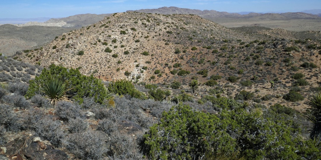
We have just left the summit and we will go off trail and visit those two bumps in the distance.
|
Off trail now... with the Wonderland of Rocks dominating the photo... with Yucca Valley on the horizon.
|
Looking across Lost Horse Valley... with San Gorgonio Mountain beyond Quail Mountain on the far left... and the west end of Queen Mountain sneaking into the photo from the far right... and things like Hidden Valley, Hemingway and the Wonderland of Rocks in between.
|
It is time for Nanda and I to get off of the ridge and rejoin Star Dancer on the main trail.
|
Working our way down to the main trail... with Point 5238 in the foreground... and Queen Mountain on the horizon.
|
Back on the main trail... now tracing our steps back to the car.
|
Looking down on the Hall of Horrors from the Ryan Mountain Trail... across Lost Horse Valley to Hidden Valley... with the Little San Bernardino Mountains on the horizon.
|

Heading for the car... many thanks to the 3 person crew improving this popular trail... digging huge rocks out of the hillside and working them into the trail to make steps.
|
Only a stone's throw to the parking lot... the hike was 3.1 miles, gaining 1055 feet of elevation.
|
