Astro Dome - 3.14.2021
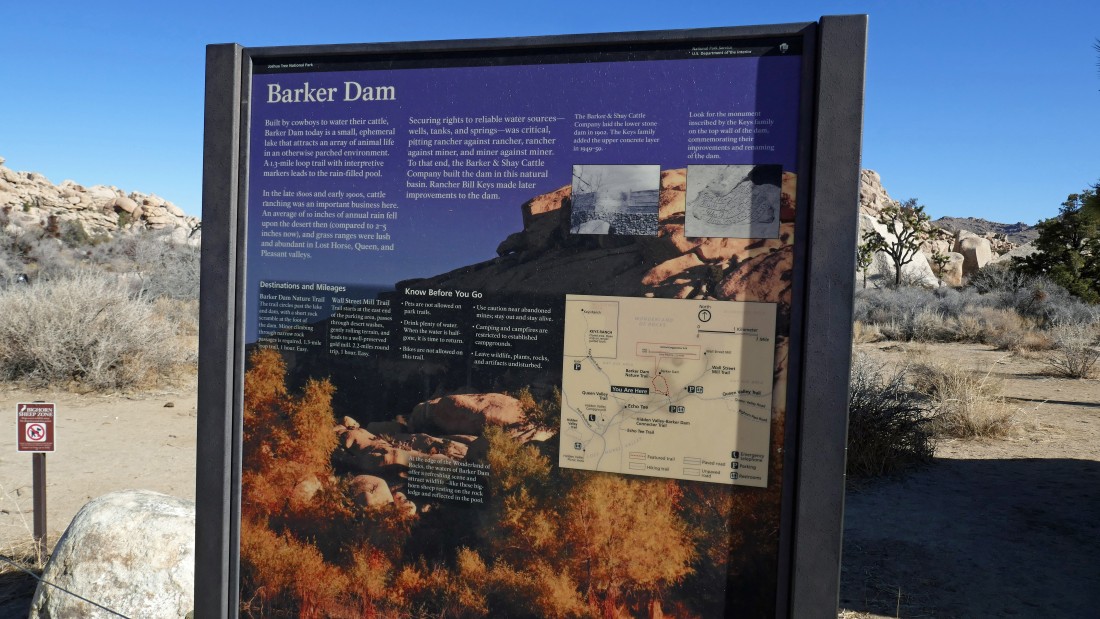
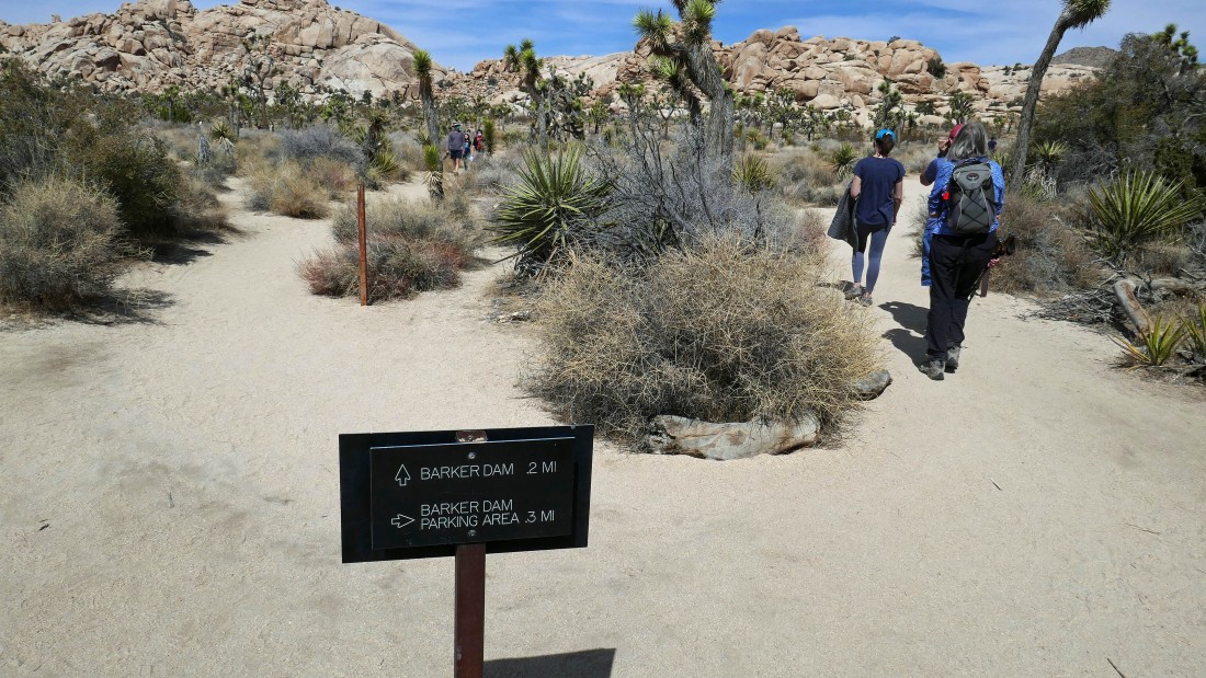
We parked at the trailhead for Barker Dam in Joshua Tree National Park.
|
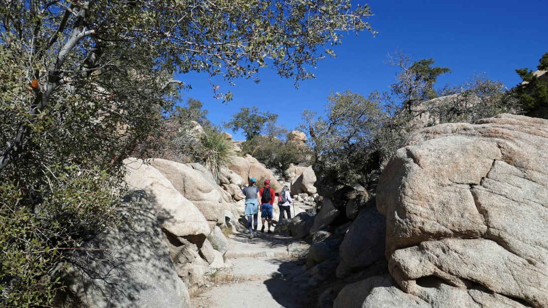
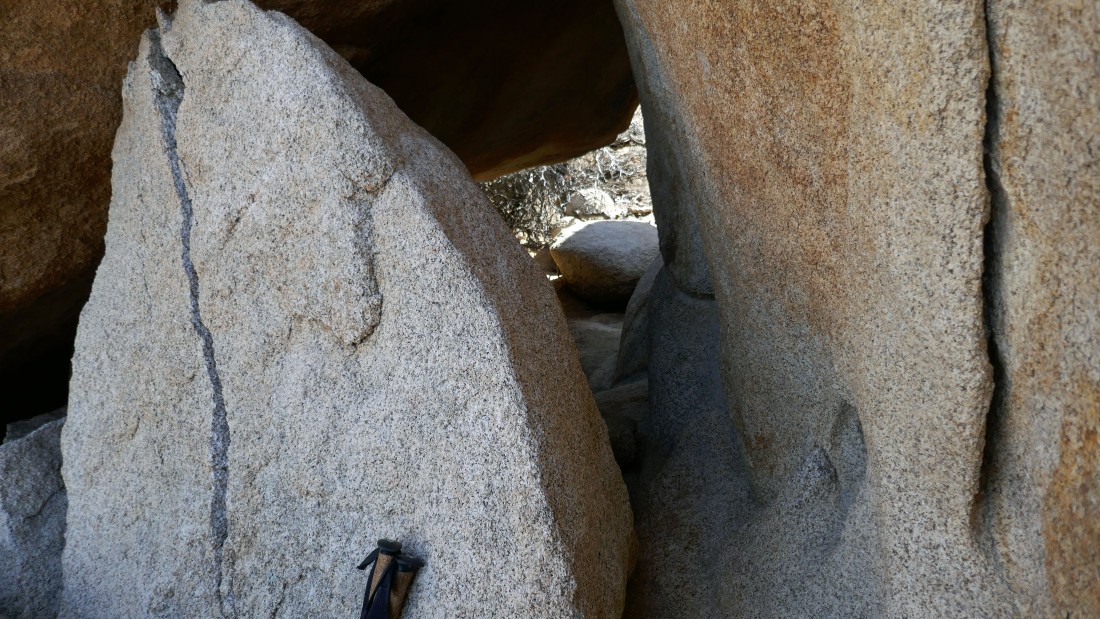
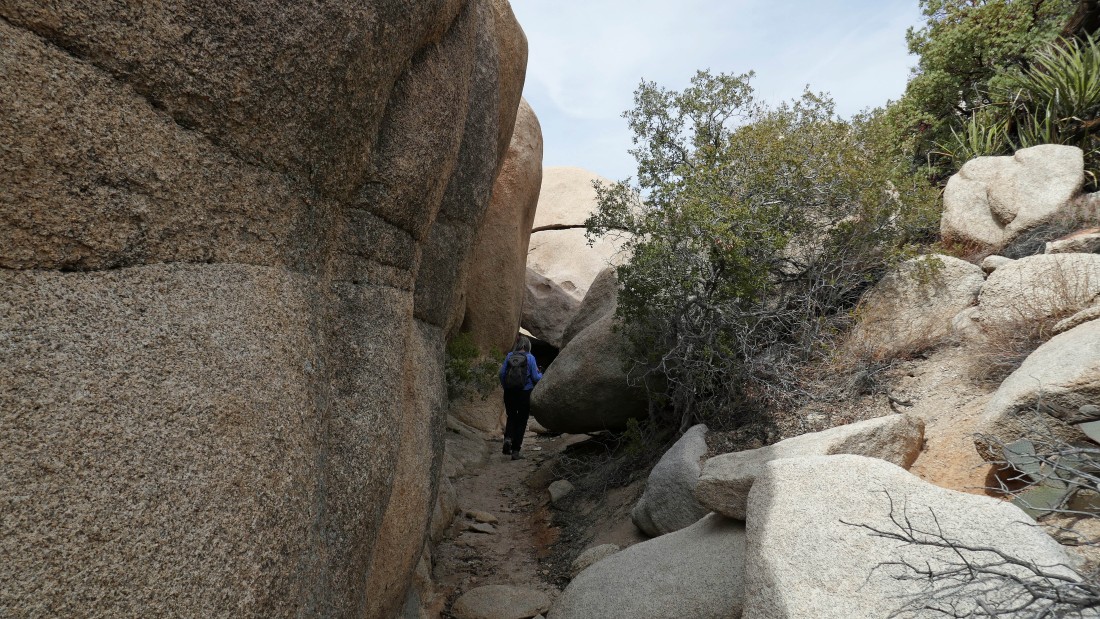
Shortly after leaving the parking lot the entrance to the Barker Lake and Barker Dam area narrows significantly.
|
After hiking a half-mile the terrain opens up at Barker Lake... today the lake is dry and we will hike north across it toward the Astro Dome out there in the center of the photo... Valhalla Dome is up there on the far right in the photo.
|
We have hiked beyond Barker Lake... still hiking north... with the Astro Dome straight ahead.
|
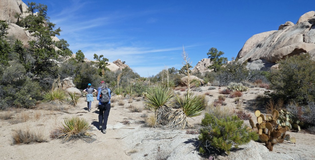
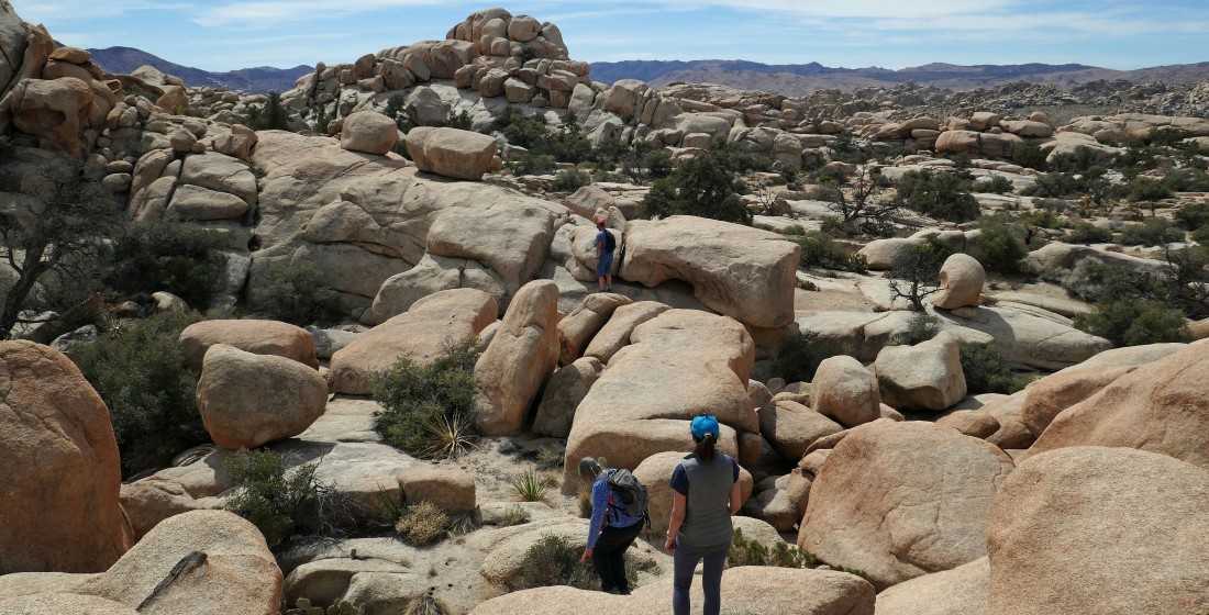
Continuing to hike north beyond Barker Lake... Lindsay (one of our nieces) and Josh (Lindsay's significant other) have joined us for this adventure... hopefully we will continue to be friends after the hike/scramble.
|
|
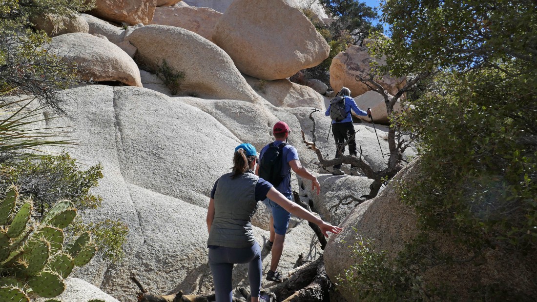
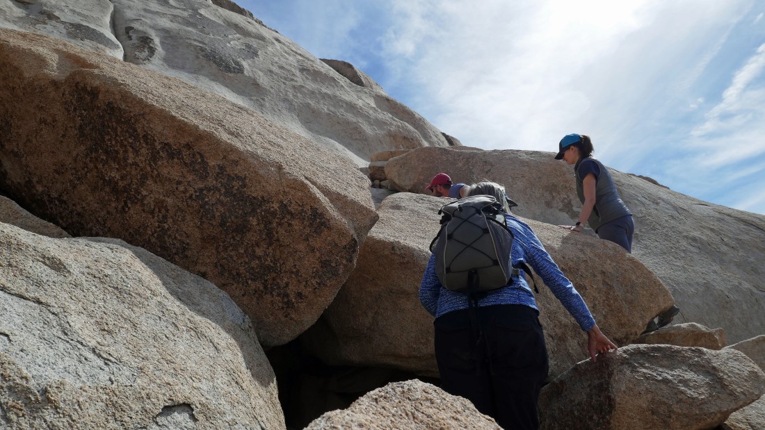
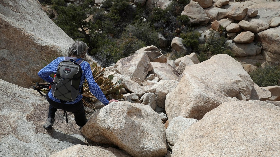
After hiking a total of .8 miles we will turn to the NW and work our way through this brushy gap.
|
Working our way through the brushy gap and looking over at the Astro Dome in the center of the photo.
|
Through the brushy gap now... continuing to hike NW along the west side of the Astro Dome.
|
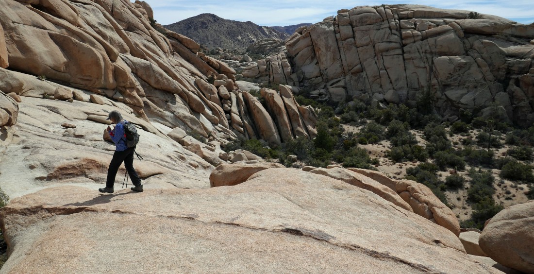
Continuing to hike NW along the west side of the Astro Dome (center horizon)... and we will continue hiking NW until we have passed by the dome... searching for a narrow canyon that will take us back to where we start up for the Astro Dome summit.
|
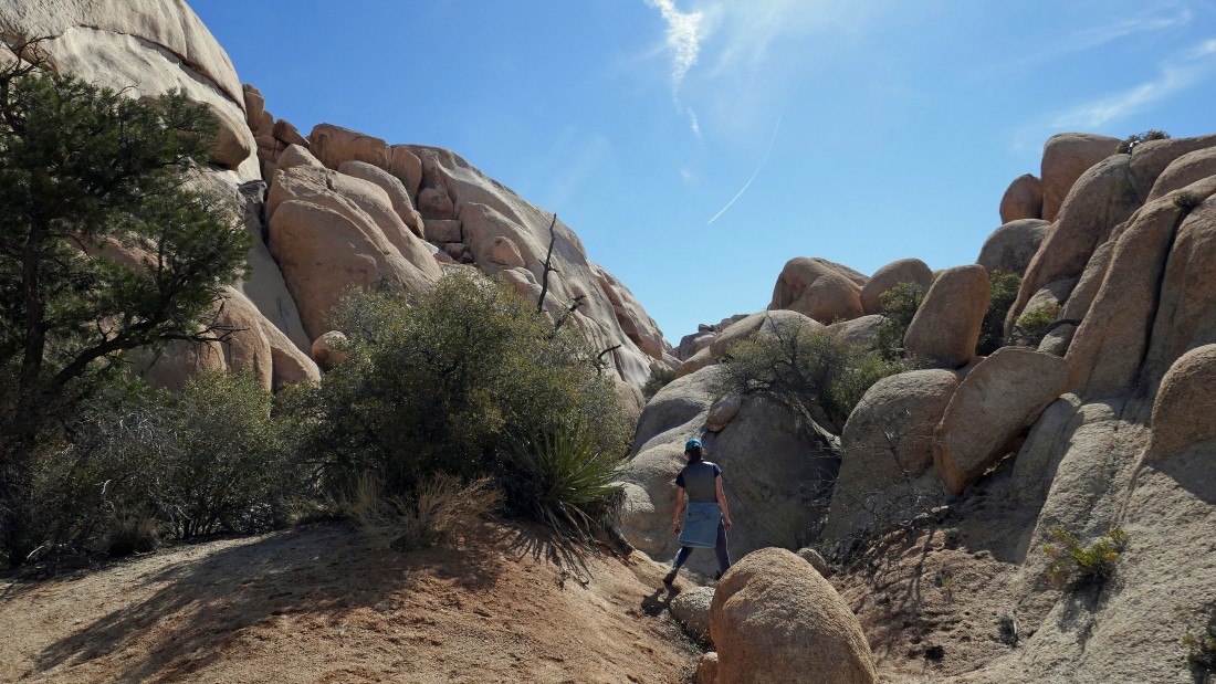
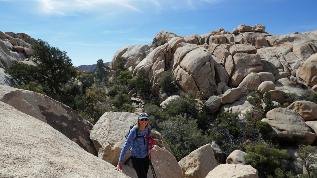
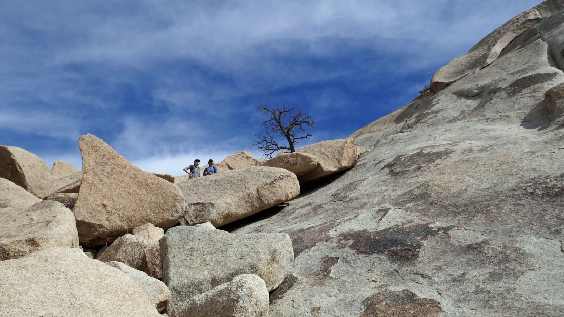
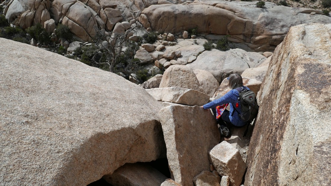
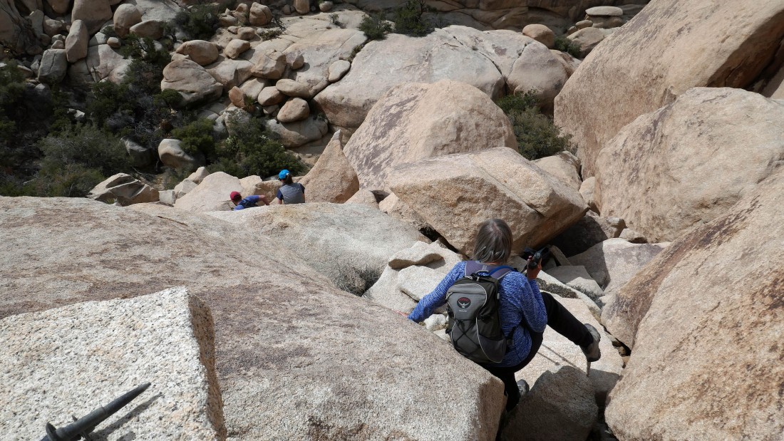
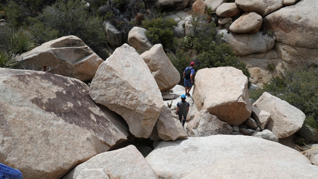
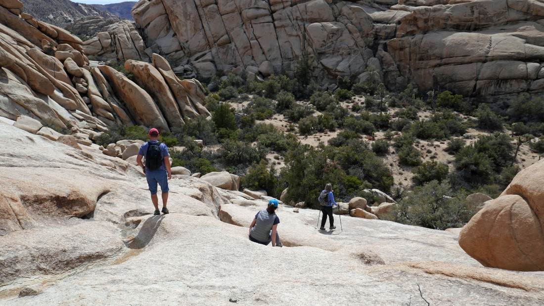
After hiking a total of 1.3 miles we have found the narrow canyon on the west side of the Astro Dome... and Lindsay takes the lead as we start hiking SE in the narrow canyon.
|

In the narrow canyon on the west side of the Astro Dome... at times it looks like the route might not go... but the route does go fairly easily... just be patient in finding the route.
|
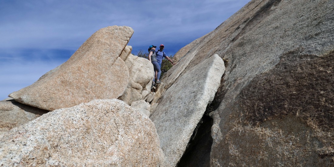
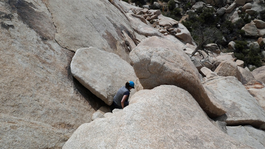
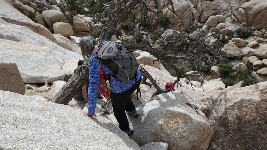
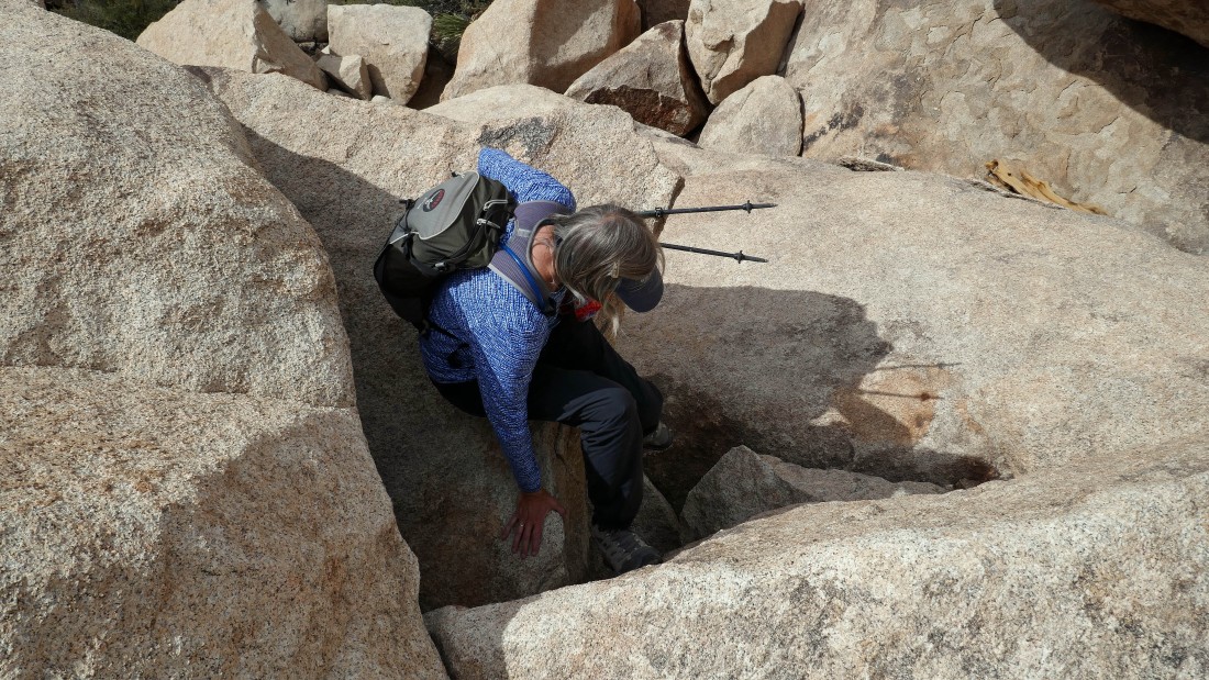
There is one place in the narrow canyon where a person needs to make themselves small.
|

Josh, Lindsay and Denali Girl are making themselves small.
|
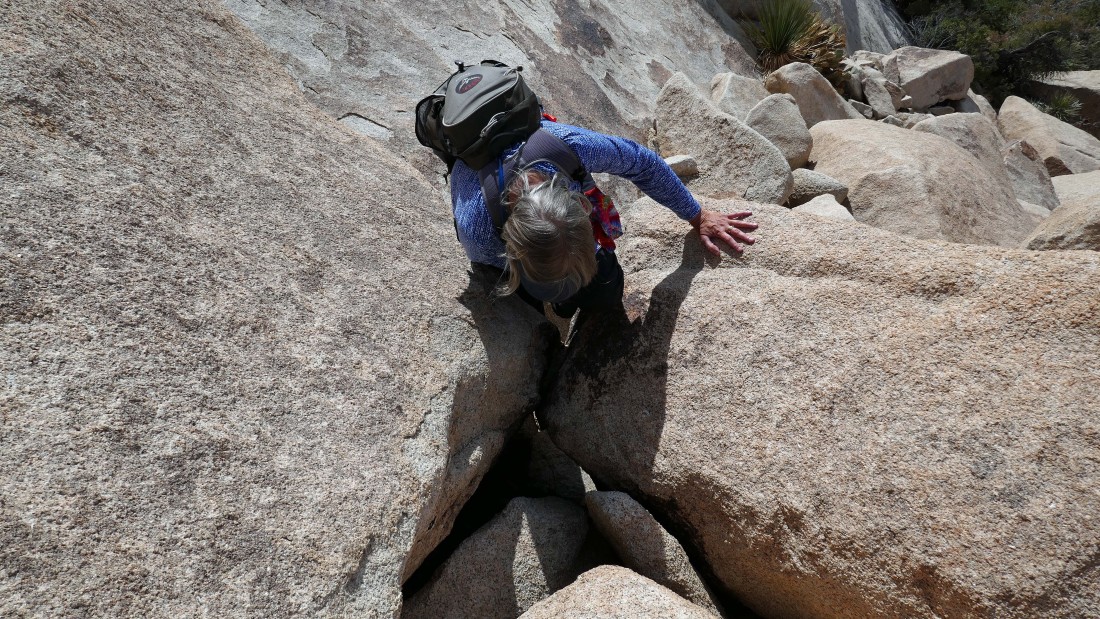
After hiking a total of 1.4 miles we have left the floor of the narrow canyon and started to scramble up the west side of the Astro Dome.
|
Denali Girl is heading up the west side of the Astro Dome.
|
Very nice of Josh to hold up the huge boulder while Denali Girl scrambles up.
|
Scrambling up the west side of the Astro Dome.
|
Scrambling up the west side of the Astro Dome... Lindsay and Josh are up there by a dead pinyon pine... one of the key landmarks of the scramble route.
|

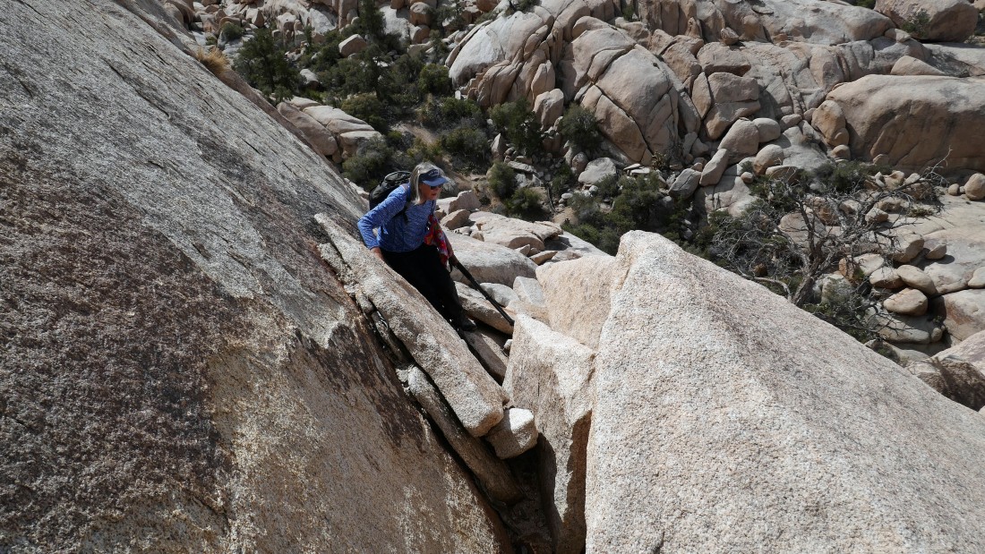
Here comes Denali Girl up the scramble route on the west side of the Astro Dome.
|
There are a few tight squeezes along the scramble route.
|

We have reached the dead pinyon pine tree... here the scramble route narrows for a bit.
|
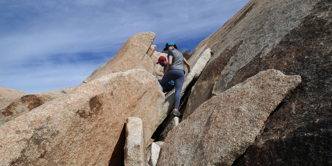
Josh and Lindsay working the narrow groove above the dead tree.
|
Lindsay and Josh at the top of the narrow groove... note the green bushes just behind them... that is where easier terrain begins for the final ramp walk to the summit.
|
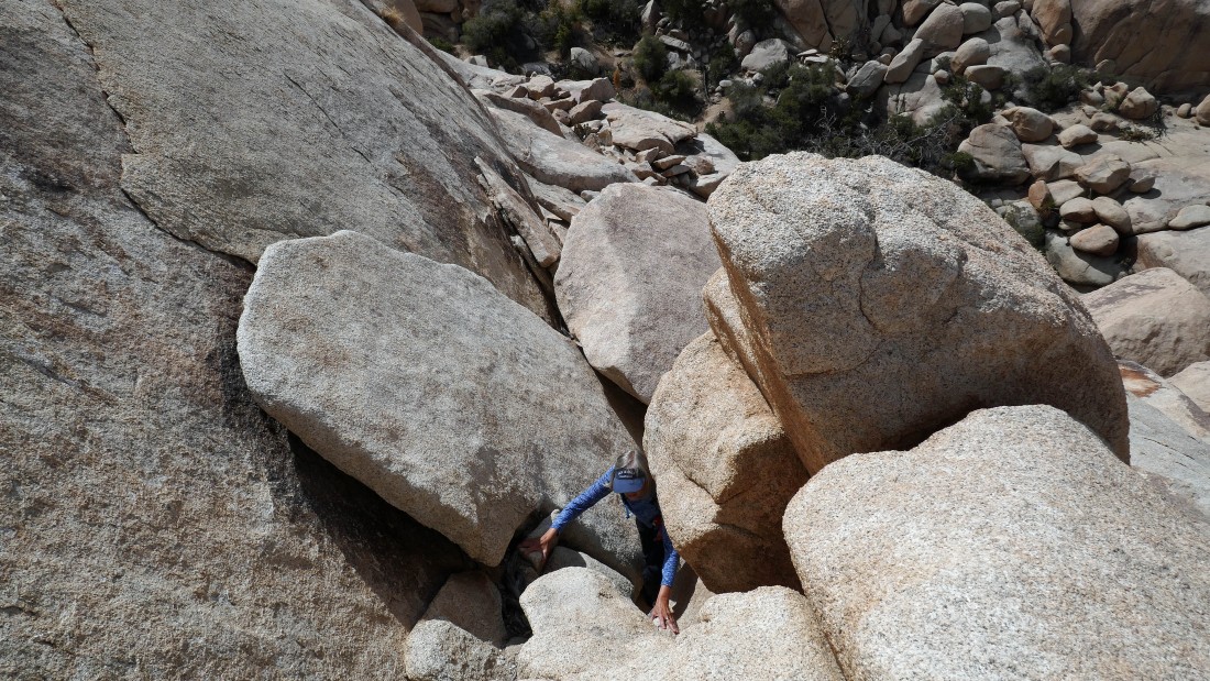
Denali Girl coming up the groove.
|
A broad view from the groove.
|
Denali Girl is almost up to where the ramp walk begins.
|
Denali Girl is standing at the green bushes just above the groove... time to head up the ramp.
|
Denali Girl starts up the ramp... with part of the Wonderland of Rocks behind her.
|
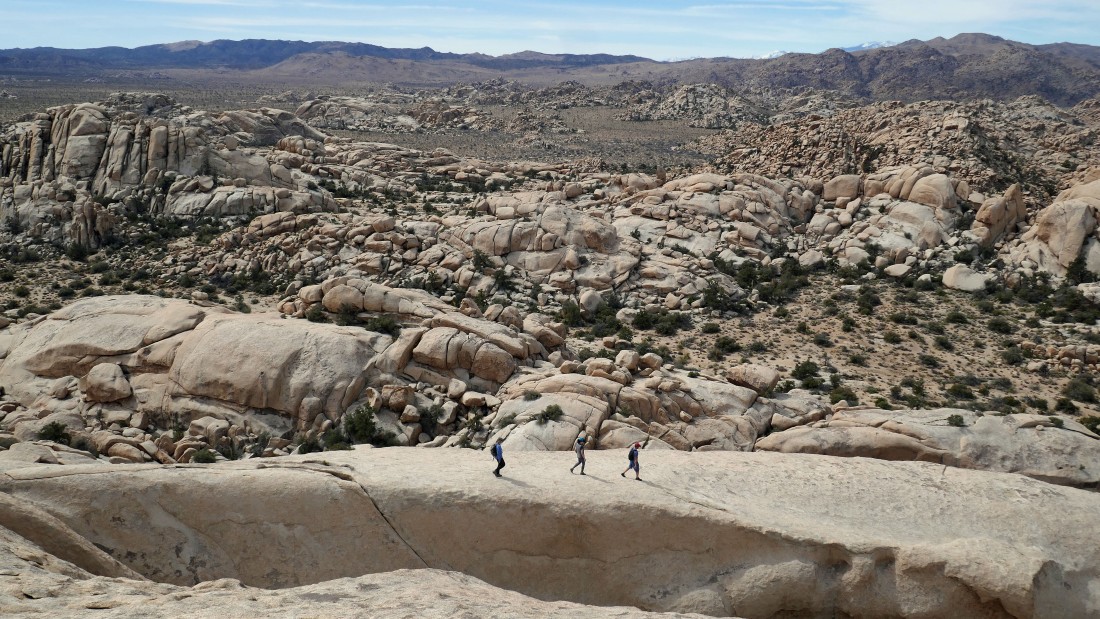
Lindsay and Josh on the ramp that will take us to the summit.
|
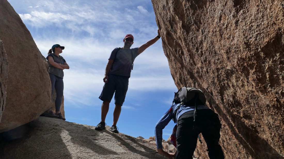
Josh and Lindsay are pretty much off of the ramp now... a short distance from the summit now.
|
|
Josh and Lindsay are up there on the summit area... there are lots of good steps that take a person from the top of the ramp on up to the summit.
|

Denali Girl is leaving the ramp and starting to take the nice steps up to join us on the summit.
|
After hiking a total of 1.5 miles I took this group shot from the Astro Dome summit (4624')... with part of the Wonderland of Rocks in the foreground... and Queen Mountain on the horizon.
|
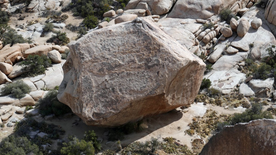
From the Astro Dome summit we are looking down on the 'San Juan Boulder'... this is a huge boulder that has been climbed by very few people... google it.
|
From the Astro Dome summit... here looking SW (left) to Quail Mountain on the far left horizon... NW (left center) to the San Bernardino Mountains (with a snow capped San Gorgonio Mountain)... and north into the Wonderland of Rocks on the right.
|
|
From the Astro Dome summit... here looking north (left) and NE (right) across the Wonderland of Rocks to Queen Mountain on the right horizon.
|
From the Astro Dome summit... here looking east (left) across Queen Valley to Ryan Mountain in the SE (middle)... and SW (right) to Lost Horse Valley... Valhalla Dome is in the center foreground.
|
From the Astro Dome summit... SW (left and middle) across Lost Horse Valley and NW (right) to the San Bernardino Mountains on the horizon.
|
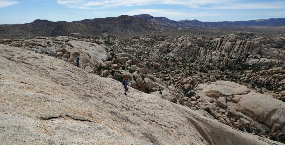
Leaving the summit now... using those nice steps that lead from the summit to the ramp in the bottom right corner of the photo.
|
Stepping onto the ramp.
|
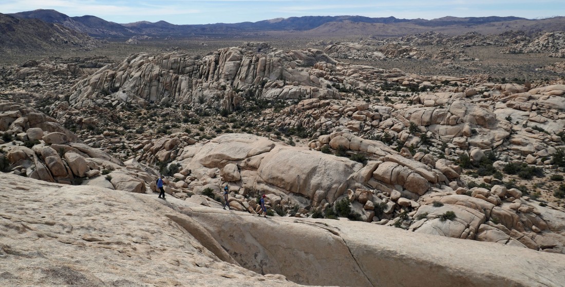
Working the ramp... on the way down from the summit.
|
Scrambling down the groove... looking for the dead tree where the terrain eases a bit.
|
Working part of the groove.
|
Back to the dead pinyon pine.
|
One careful step at a time.
|
What I said in the previous photo.
|
Occasionally one has to make a butt move!
|
Almost back down to the floor of the narrow canyon.
|
I took this photo for future use... I am standing on the floor of the narrow canyon looking back at the obvious path that takes us up to the scramble section... we used it in 2020, but this year we started up 15 or 20 yards too early.
|
Tracing our steps back through the narrow canyon.
|
|
Back into more open terrain... heading SW to make a loop trip out of the adventure.
|
Looking back at the Astro Dome (left center)... as we hike SW.
|
Continuing SW.
|
Continuing SW... looking for the desert floor.
|
Nice slabs will help us get down to the desert floor.
|
Working our way down the nice slabs.
|
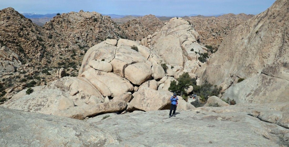
After hiking a total of 2.1 miles we are almost down to the desert floor... we will go around the right side of this big rock formation and loop our way back to the car.
|

After hiking a total of 3.4 miles we have joined a section of the Barker Dam Loop Trail.
|
After hiking a total of 3.7 miles we are only .3 miles from the car.
|
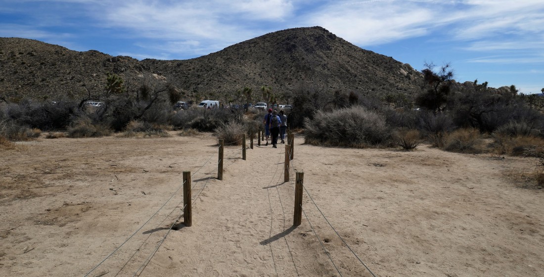
A stone's throw from the Barker Dam parking lot... the hike/scramble was 4 miles, gaining 689 feet of elevation.
|
