Eldorado Mine - 3.26.2021
|
We parked on the south side of Pinto Basin Road... half a mile west of the Cholla Garden... between two small volcanic bumps. Note that it is not an obvious parking area.
|
Hiking SW from where we parked on the south side of Pinto Basin Road... heading toward the Hexie Mountains.
|
Continuing to hike SW... here looking east toward Pinto Basin... with Pinto Mountain the high point in the left center foreground.
|
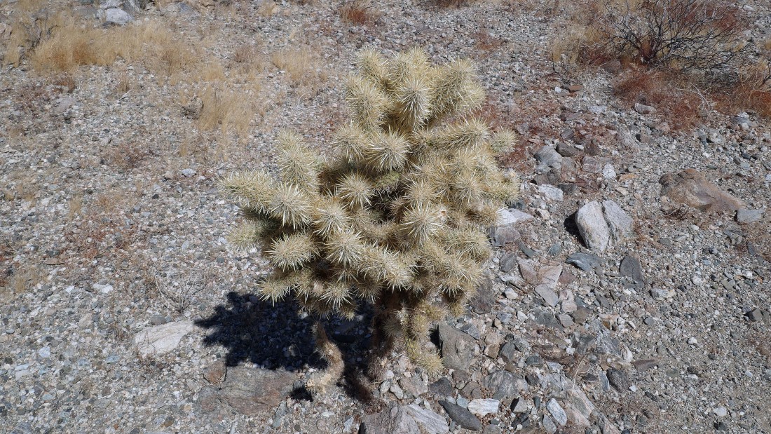
A cholla cactus... and lots of them on this cross country hike.
|
Continuing to hike SW toward the Hexie Mountains... with Denali Girl standing between two Ocotillo plants... with Pinto Mountain dead center between the two ocotillo plants on the horizon.
|
|
Continuing to hike SW... here looking NW to the Silver Bell Mine that we visited earlier this year.
|
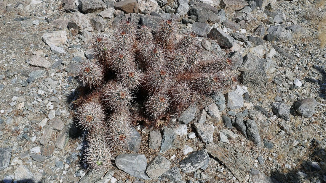
A hedgehog cactus... it will be much more impressive when it blooms.
|
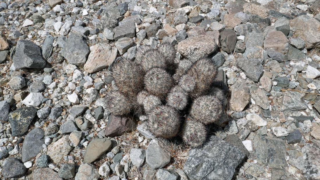
A foxtail cactus... and it will be much more colorful when it blooms.
|
After hiking SW for 1.4 miles we reached this little hump with lots of black rocks... this is where we will begin hiking west up a wash.
|
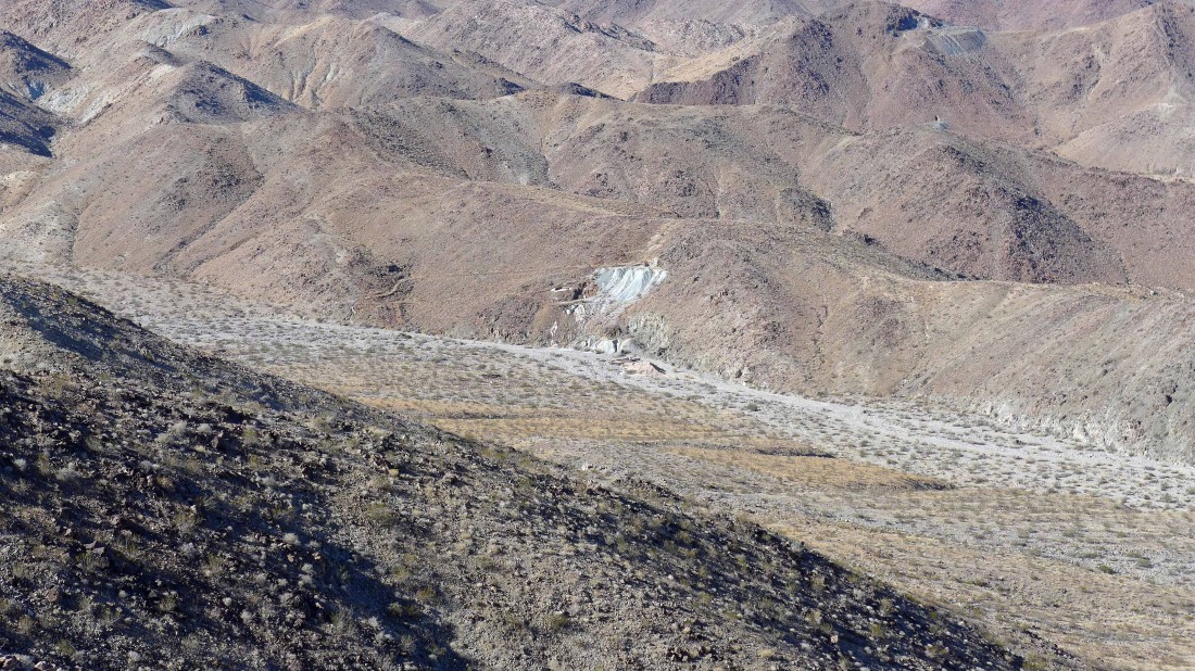
Continuing to hike west up a wash... we can see some kind of activity up there on the hillside in the center of the photo.
|
This photo was taken on February 7, 2018, when we did the Golden Bee Mine... we were looking across the wash to today's target... the Eldorado Mine... note that the Silver Bell Mine is visible at the top of the photo on the upper right.
|
Continuing west up the wash... here looking back out to Pinto Basin on the horizon.
|
After hiking a total of 1.8 miles we have reached the Eldorado Mine operation.
|
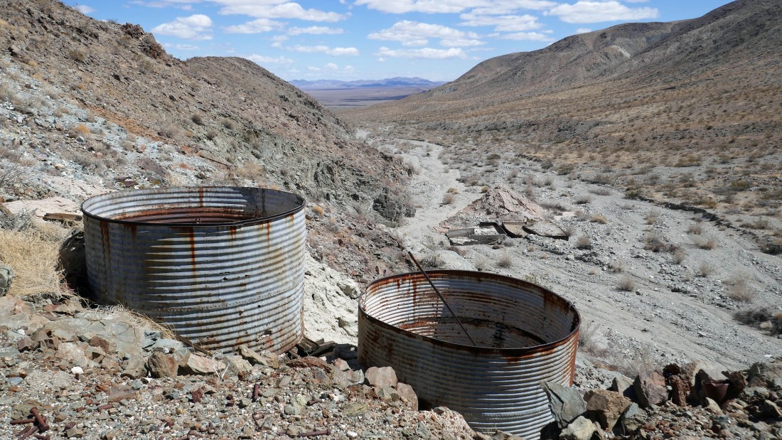
Denali Girl is exploring the precipitation tanks where gold is precipitated out of a poisonous cyanide solution... there are also some cyanide tanks up on the hillside in the upper right corner of the photo.
|
Heading up to see what is above.
|
We are above the cyanide tanks... looking down at the percipitation tanks in the wash.
|
Continuing above the two cyanide tanks to see what is above.
|
There were at least two mine shafts that were completely filled in with rocks... now we will go on up to the ridge.
|
After hiking a total of two miles we are on the ridge above the Eldorado Mine... here looking east out into Pinto Basin... with the Pinto Mountains on the left and the Hexie Mountains on the right... with the Coxcomb Mountains on the center horizon of the photo.
|
On the ridge above the Eldorado Mine... looking south across the wash at some of the higher mountains in the Hexie Mountains.
|
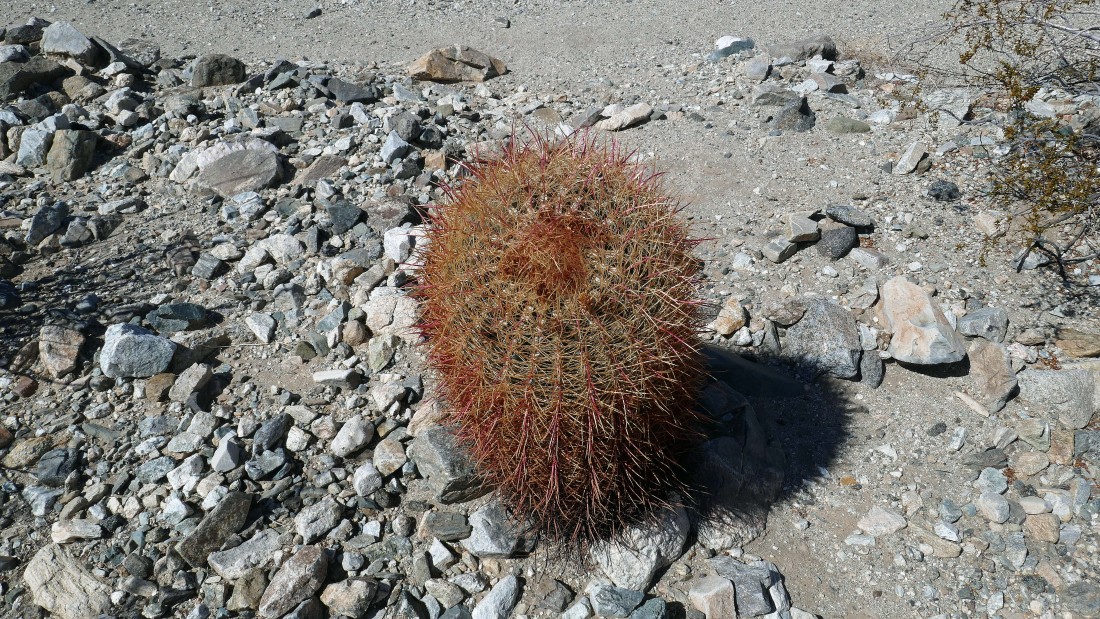
Barrel cactus.
|
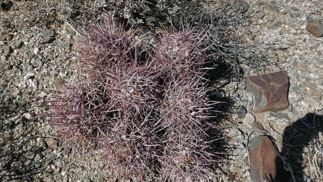
A Cotton Candy Barrel Cactus.
|
Denali Girl coming down from the ridge above the Eldorado Mine as we loop our way back to the car.
|
Off of the ridge and back on the desert floor... looking east at a shaded Pinto Mountain in the center of the photo.
|
Almost back to the car now... as Denali Girl will hike between the two bumps where we parked on the south side of Pinto Basin Road... the hike was 3.7 miles, gaining 548 feet of elevation.
|
