Flatbush (aka Point 5049) - 3.30.2021
|
From the west entrance pay station to Joshua Tree National Park... we drove 10 miles on Park Boulevard and parked in a paved pull-out on the west side of the road... today's target will be 'Flatbush'.
|
Hiking west across the desert floor in Lost Horse Valley toward our target... we can see a structure out there in the distance.
|
We knew that the Johnny Lang Ranch was in this general area... but this structure had no fence around it... and the car is fairly modern.
|
From the structure in the previous photo we continued hiking west on this dirt road... looks like another structure just up the road.
|
After hiking a total of 1.7 miles we have reached the Johnny Lang Ranch... no trespassing is allowed.
|
|
We continued hiking west beyond the Johnny Lang Ranch... here looking back to the SE... across Lost Horse Valley to Ryan Mountain on the right center horizon... with Lost Horse Mountain on the far right horizon.
|
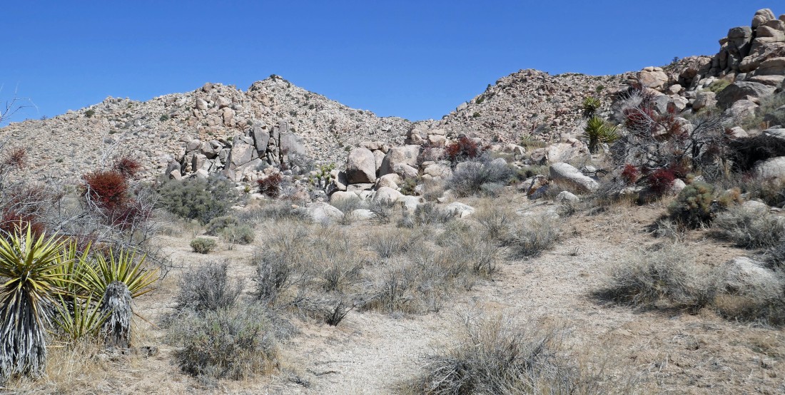
After hiking a total of 2.1 miles we have started hiking north toward Flatbush... the high point in the left center on the photo... we will head for the low point in the center of the photo... then turn left and head for the summit.
|
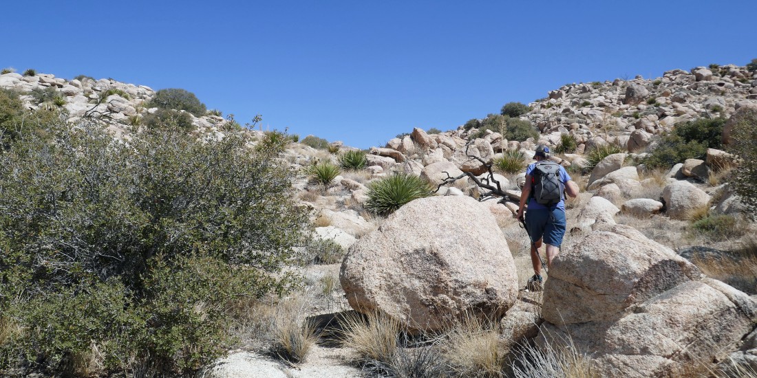
On steeper terrain now as we head for Flatbush through the gap in the foreground.
|
Heading for the low point on the ridge on the right... where we will turn left and head for the summit of Flatbush.
|
Denali Girl is heading for the low point on the ridge.
|
|
We have reached the low point on the ridge... now heading west for the summit.
|
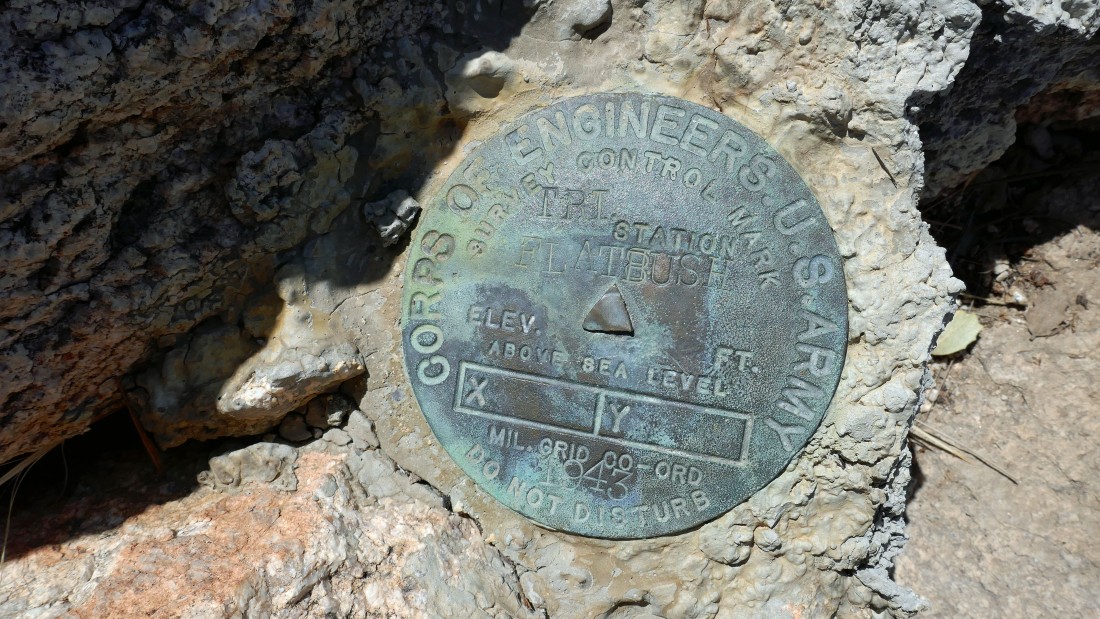
The Flatbush Benchmark was placed in 1943.
|
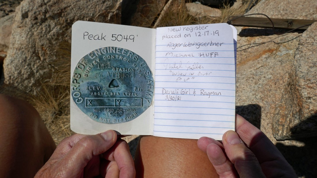
Three guys placed the current register in December, 2019... this one isn't visited very often... either that or not many folks sign the summit register.
|
After hiking a total of 2.9 miles Denali Girl is standing on the summit... with Ryan Mountain on the left horizon and Lost Horse Mountain on the right horizon.
|
From the Flatbush summit... looking west to Quail Mtn, Mt. Minerva Hoyt and Lang Mine Peak... and looking north to points 5080+ and 5088.
|
|
From the Flatbush summit... looking NE to the Wonderland of Rocks, Queen Mountain and Hidden Valley... looking east across Lost Horse Valley to Sheep Pass and Ryan Mountain.
|
We have left the Flatbush summit (above on the left) and tracing our steps back down to the desert floor.
|

Almost back down to the desert floor... with the Flatbush summit up there in the center of the photo.
|
We have returned to the Johnny Lang Ranch.
|
Our car is only a stone's throw away... with Ryan Mountain in the distance... the hike/scramble was a total of 5.8 miles, gaining 955 feet of elevation.
|
