Palm View Peak and Point 7123 - 4.4.2021
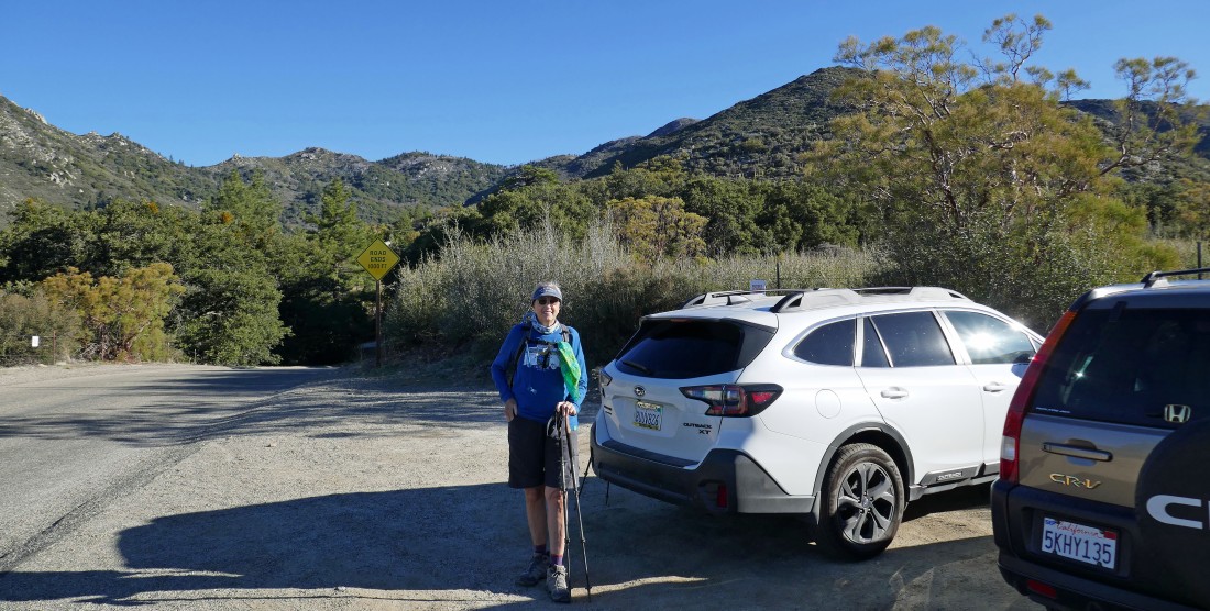
From CA-74 Highway (aka Pines to Palms Hwy) we turned onto Morris Ranch Road and drove 3.6 miles to an unsigned parking area on the side of the road for Cedar Springs Trail 4E17.
|
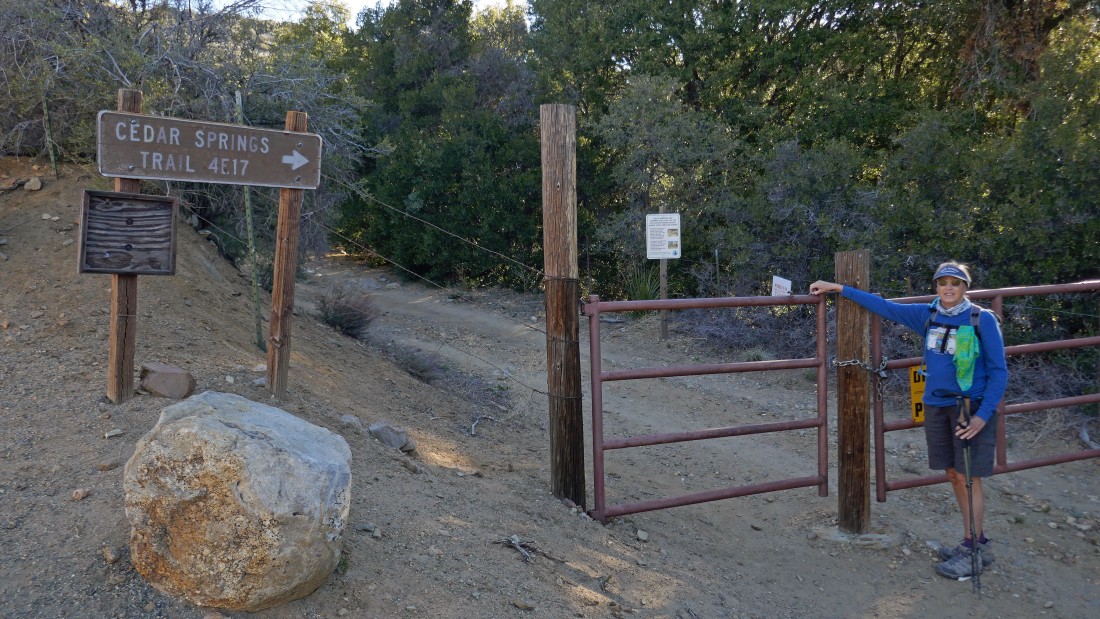
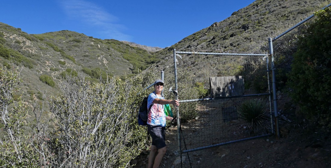
From the parking area we hiked about 50 yards north to where the Cedar Springs Trail actually begins... the gate is not locked.
|
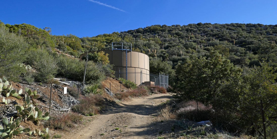
After going through the gate in the previous photo you are pretty much hiking on a driveway... and it doesn't take long to pass by a water tower.
|

Don't go through this gate on the right... stay on the trail.
|
After hiking approximately three-quarters of a mile you will enter a meadow area in East Canyon.
|
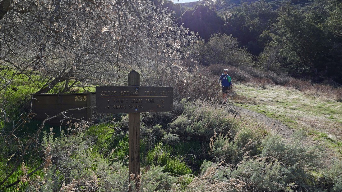
This sign is in the meadow area... kind of hard to read the sign, but a closer inspection reveals that in 1.5 miles we will connect with the PCT... we are getting ready to leave the meadow area and begin switchbacking our way up to a ridge.
|
Shortly after beginning the switchbacks we will pass through a fourth gate... or is it the fifth gate?... regardless, it is the last gate of the day until we return to this gate on our way back to the car.
|
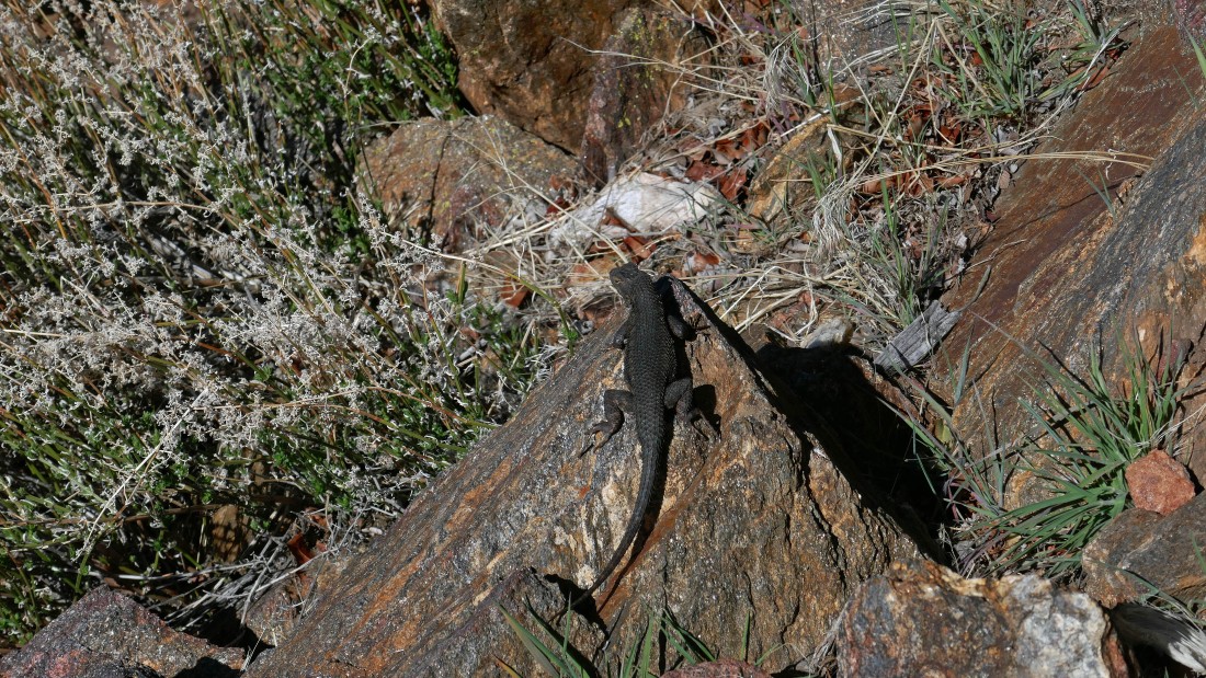
A lizard or a gecko... or you tell me.
|
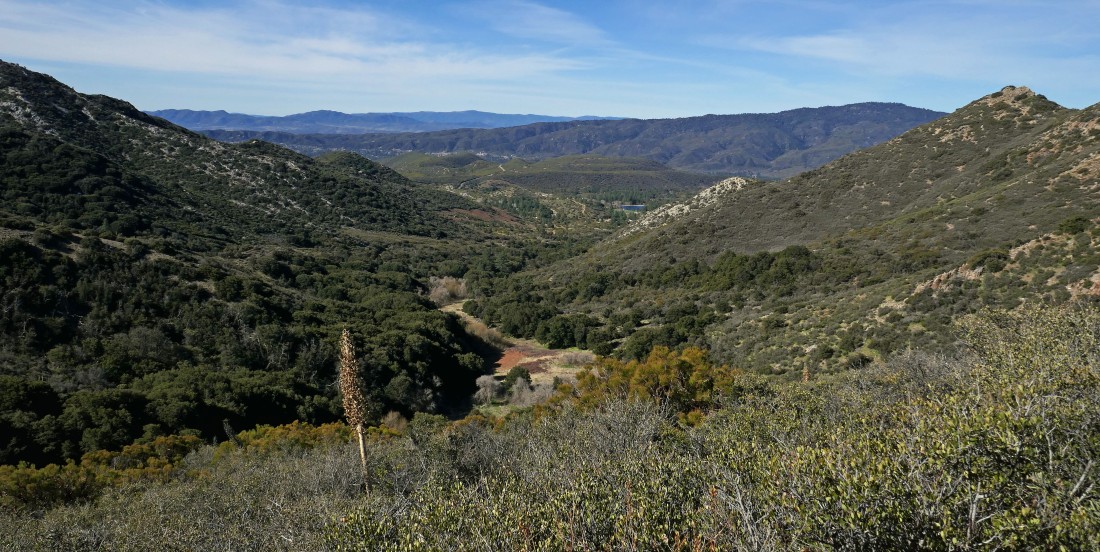
Continuing to switchback our way up to the PCT... here looking down East Canyon... the colorful meadow area is below... with Thomas Mountain across Garner Valley on the right horizon.
|
Cone Mountain... looks very interesting, however, it is apparently a brutal bushwhack to get up there.
|
|
Nearing the ridge... looking south to Pyramid Peak... a peak we did on May 1 last year.
|
After hiking a total of 2.3 miles we will leave the Cedar Springs Trail and start hiking NW on the PCT.
|
Gaining elevation as we hike NW on the PCT... views from the PCT are broad.
|
Interesting rock in this area.
|
We are still hiking north on the PCT at approximately 7000 feet in the San Jacinto Mountains... but the higher San Jacinto Mountains are further north on the left horizon... and looking east across Coachella Valley to the Little San Bernardino Mountains which form the western border of Joshua Tree National Park.
|
|
Continuing to hike north on the PCT... here looking over to the east... across Coachella Valley to the southern end of the Little San Bernardino Mountains... and SE to the Mecca Hills and Salton Sea... and south to the Santa Rosa Mountains... with Pine Mountain and Pyramid Peak in the foreground.
|
Continuing to hike north on the PCT... here looking south down at the route we took up to here via East Canyon.
|
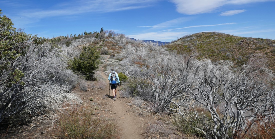
Still hiking north on the PCT... here walking through a silver forest of manzanita trees.
|
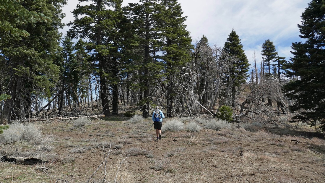
Nearing Point 7123 out there just to the left of Denali Girl... a stone's throw off of the PCT.
|
Nearing the summit of Point 7123.
|
|
After hiking a total of 4 miles we are on the summit of Point 7123... looking to the higher peaks of the San Jacinto Mountains on the left... with Coachella Valley and Little San Bernardino Mountains in the middle of the photo... and a kind of ugly looking summit of Palm View Peak in the right foreground.
|
We have left Point 7123 and heading over to Palm View Peak.
|

The last 50 yards to get to the summit of Palm View Peak is kind of nasty... pretty sure that my leg modeling career might be over after having done this.
|
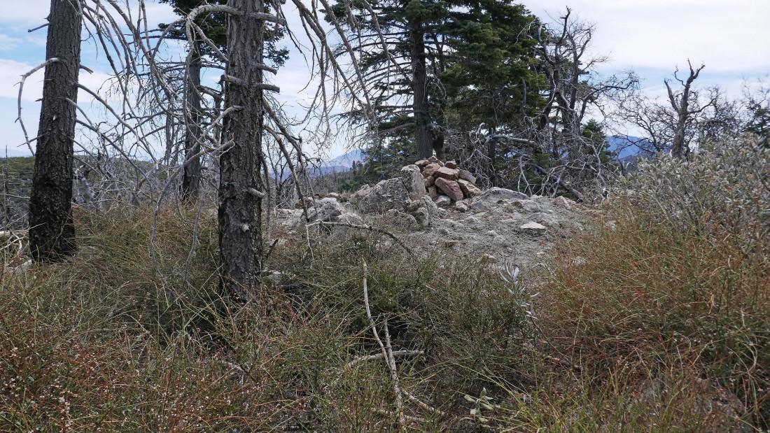
Ah yes... the summit carin on Palm View Peak... can you say yuck!!!!!
|
The best view I could find from the summit (7160+) of Palm View Peak... Gail was smart enough to not follow me all the way up to this one.
|
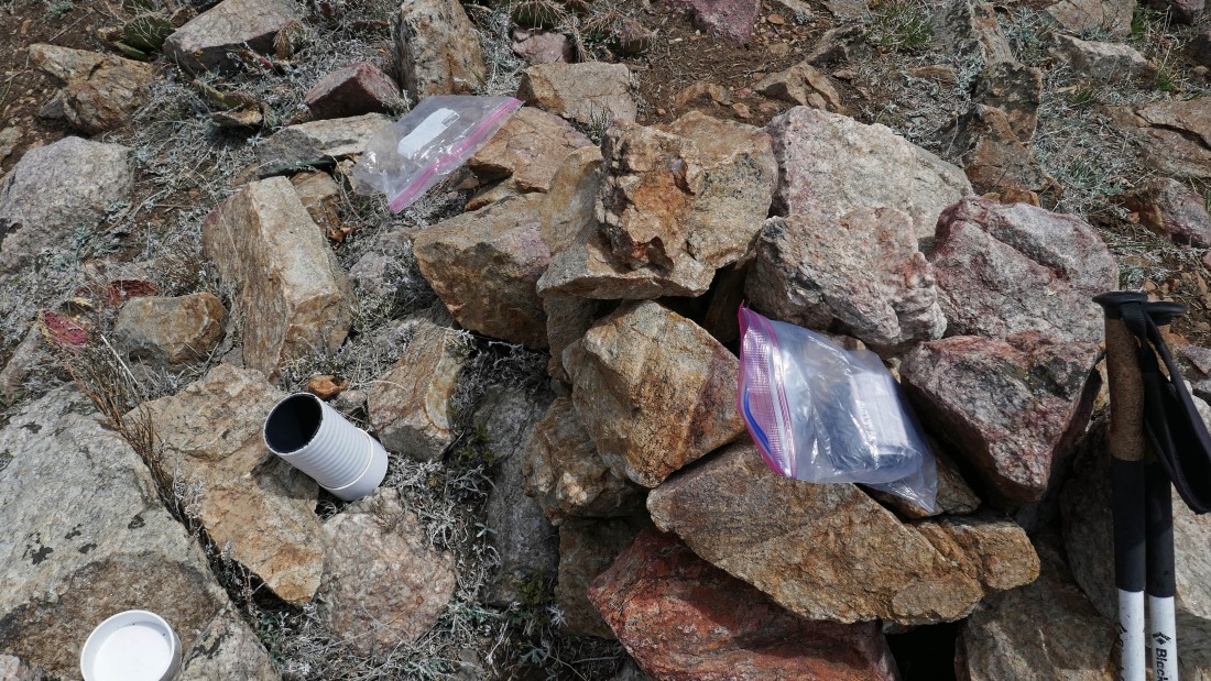
Yes... there was a summit register and surprisingly signed by a lot of people... later I found out that Palm View Peak is on the 'Sierra Club Hundred Peaks Section List'... makes me a bit skeptical of that list.
|
Hiking back to the car on the PCT... and we got this view of where we live 4 months each year at the Two Springs RV Resort.
|
Hiking south now on the PCT... tracing our steps back to the car.
|
We have left the PCT and are heading down East Canyon on the Cedar Springs Trail... another 2.3 miles of hiking will get us back to the car.
|

Back at the first gate... just off of the Morris Ranch Road... another 50 yards of road walking will get us to our car... the total hike was 8.6 miles, gaining 2172 feet of elevation.
|
