Hillman Peak - 8.18.2021
|
Coming into the north entrance to Crater Lake National Park Hillman Peak is the first peak you will see... and there is no trail to the summit.
|
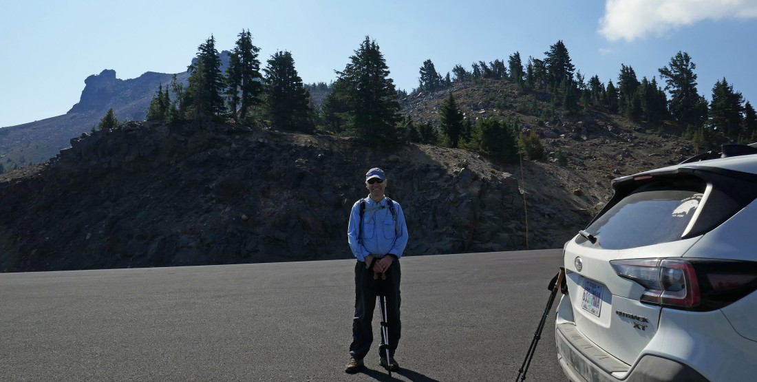
We parked at a pullout on the West Rim Drive... located at the base of Hillman's west ridge.
|
We crossed the West Rim Drive from where we parked and headed up hill at the base of Hillman's west ridge.
|
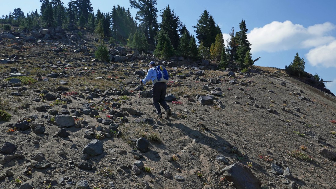
We quickly found the 'alternate' Pacific Crest Trail... whatever that is... and hiked north on it for a few steps before heading cross country on Hillman's west ridge.
|
We have left the 'alternate' Pacific Crest Trail and are heading steeply uphill on the north side of Hillman's west ridge.
|
|
Looking back as tomman hikes along the north side of Hillman's west ridge.
|
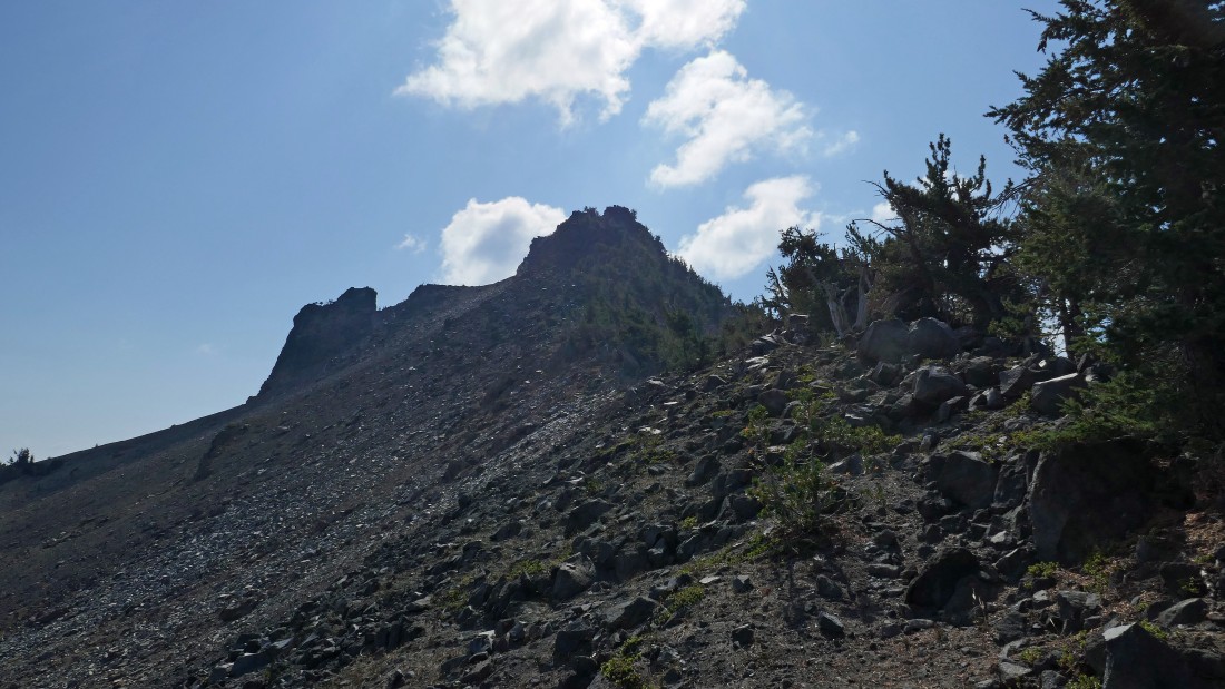
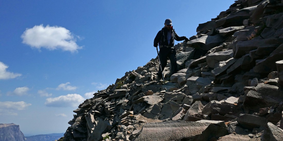
Steep terrain on the north side of Hillman's west ridge.
|

Steep terrain on the north side of Hillman's west ridge.
|
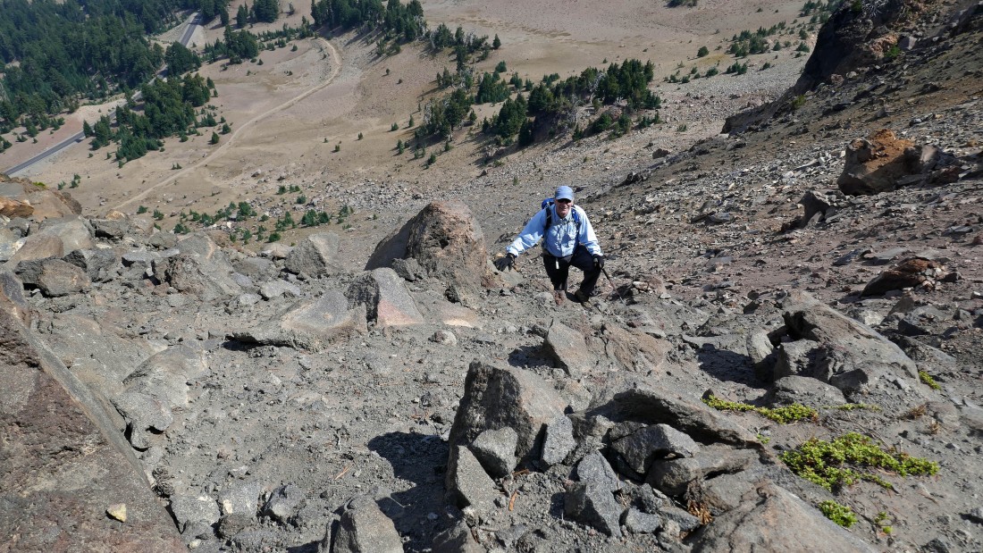
Steep terrain on the north side of Hillman's west ridge.
|
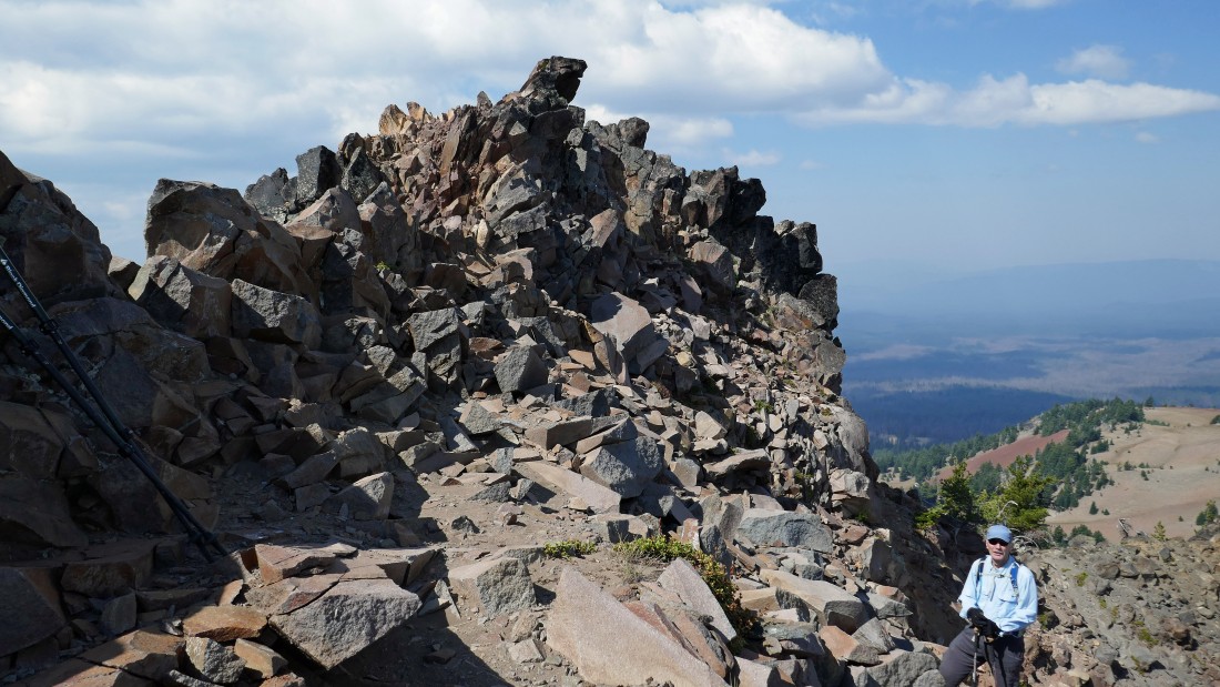
After hiking less than a half-mile we have reached the summit area of Hillman Peak... within 50 feet of elevation gain remaining to reach the summit above.
|
Just below the Hillman summit... with Llao Rock in the distance over tomman's right shoulder.
|
tomman is standing directly underneath the summit of Hillman Peak.
|
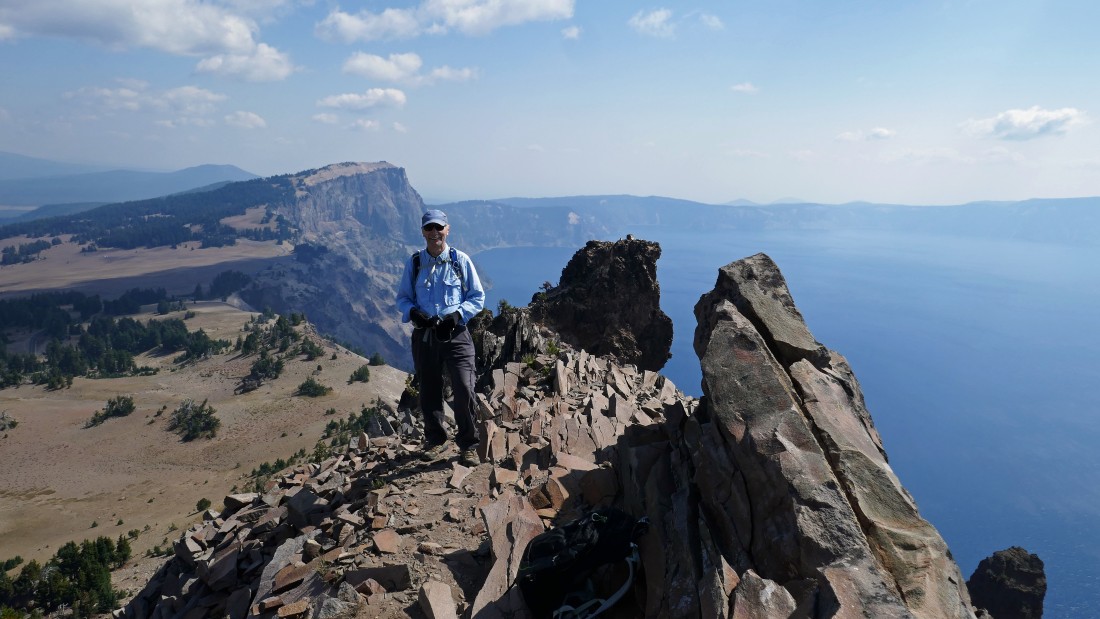
Standing on the summit (8151') of Hillman Peak... the highest point along the crater rim of Crater Lake... this is a horrible pano shot, but it does give perspective.
|
A selfie from the summit of Hillman Peak... with The Watchman in the right foreground.
|
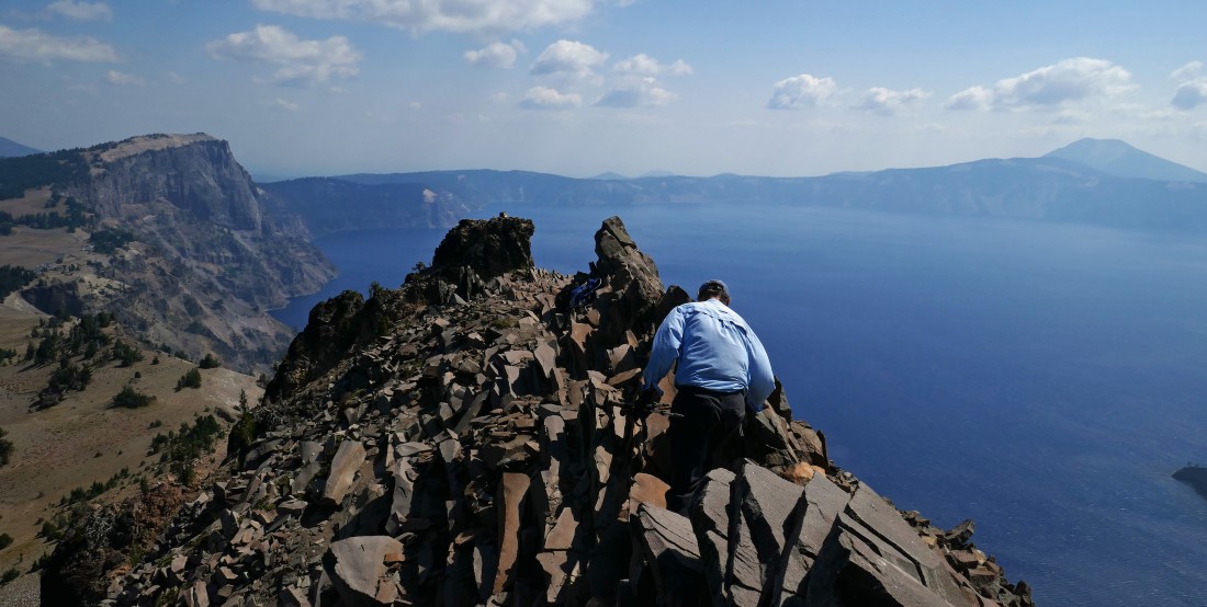
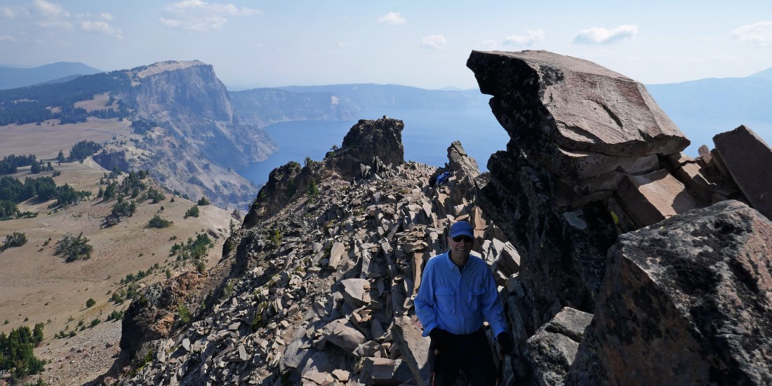
tomman leaves the summit of Hillman Peak... with Llao Rock on the far left horizon and Mount Scott on the far right horizon.
|
tomman coming down from just below the Hillman summit... and Llao Rock sneaking into the lower left corner of the photo.
|
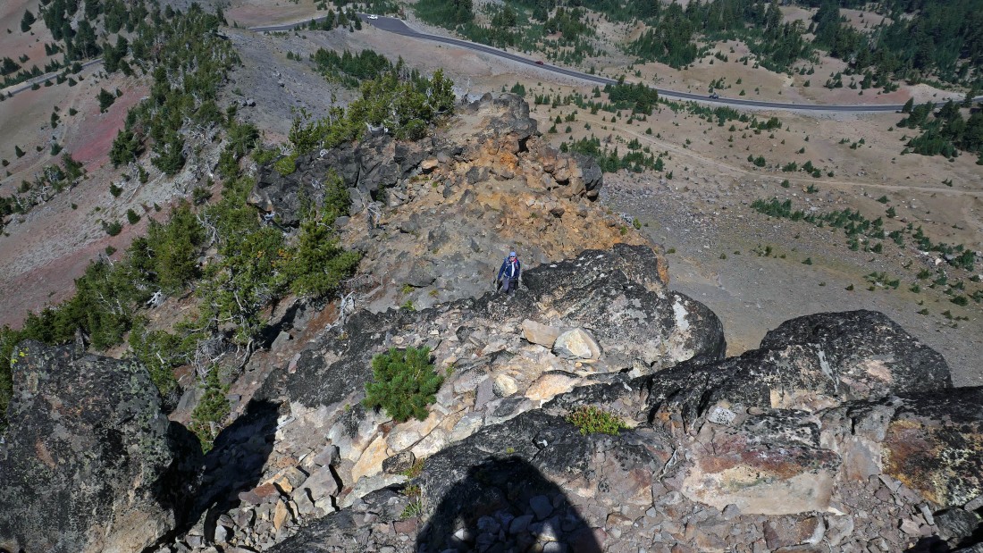
75 feet below the summit I realized that I had left my hat on the summit... so I climbed back up to retrieve it and got this shot of tomman below... and noticed that I could also see our car parked in the pullout below.
|
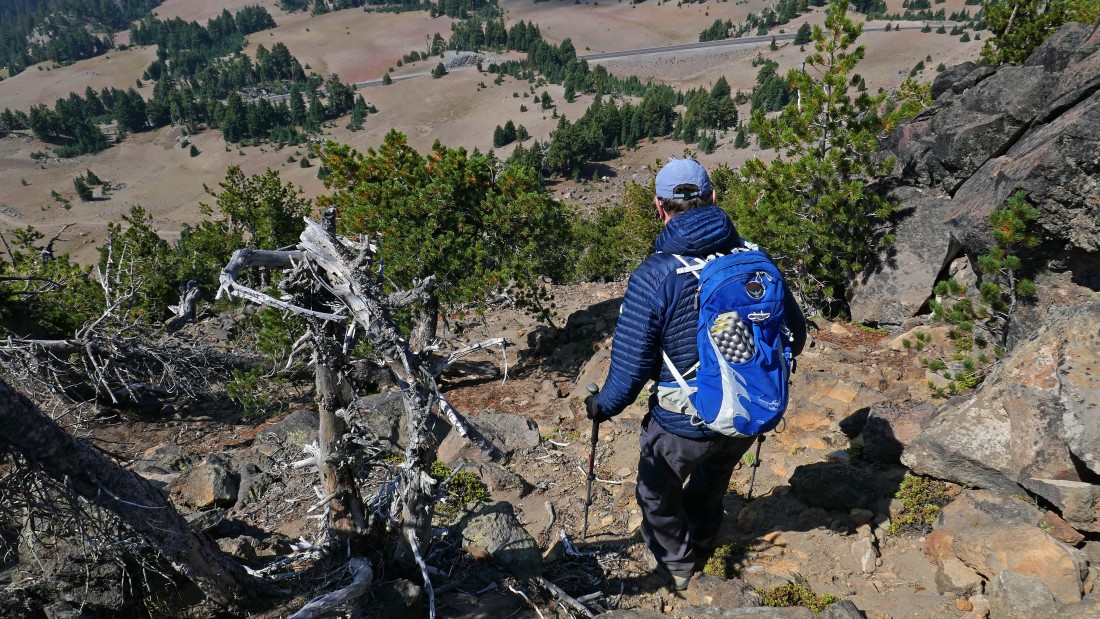
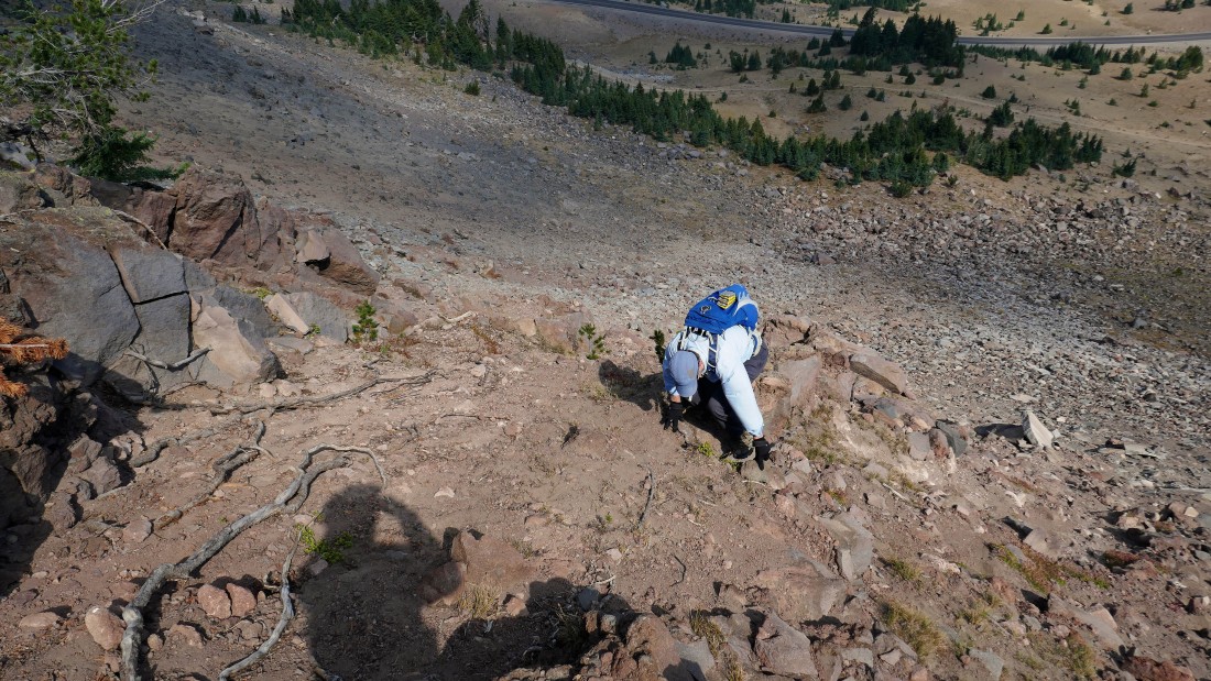
From where tomman was standing in the previous photo we decided to descend via the south side of Hillman's west ridge instead of descending via the north side of the west ridge that we used on the way up... and after doing so, we both agreed that if we ever did this peak again, we would also come up this way.
|
Descending Hillman Peak via the south side of Hillman's west ridge... with the 'alternate' Pacific Crest Trail just a few steps below.
|
We hiked the 'alternate' Pacific Crest Trail for less than an eighth of a mile to get back to our car... the total hike was.9 miles, gaining 509 feet of elevation.
|
