South Sister - 8.27.2021
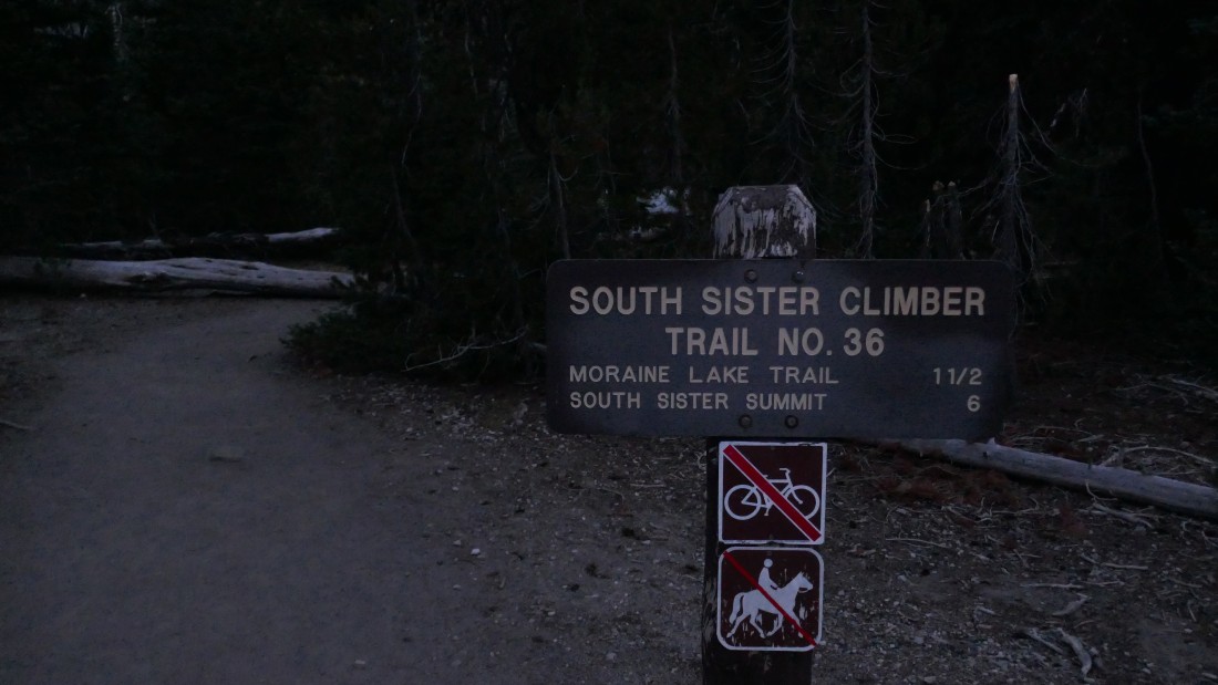
I parked (~5450') on the side of Cascade Lakes Highway where the South Sister Climber Trail #36 crosses the highway where the trail from the Devils Lake Parking Lot crosses the highway.
|
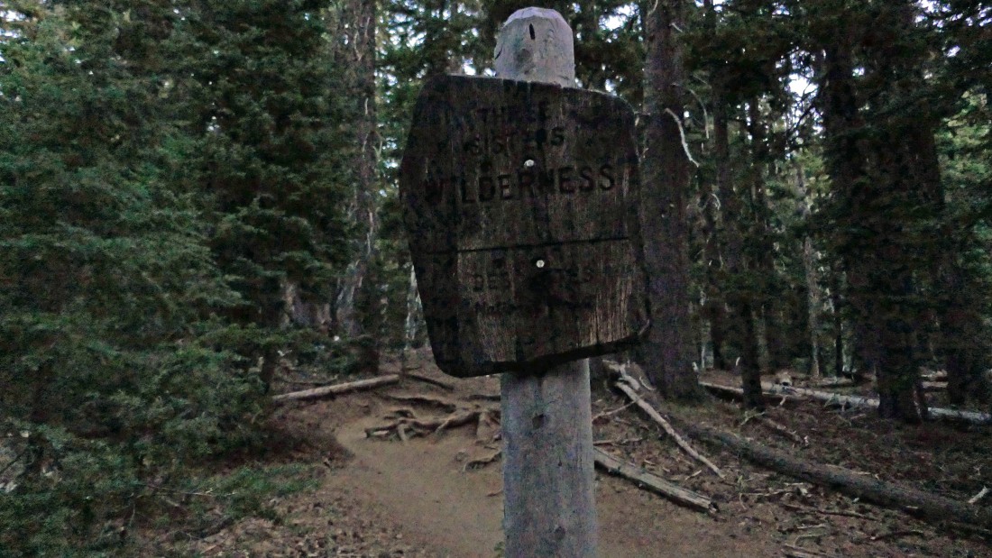
After hiking a tenth of a mile I entered Three Sisters Wilderness.
|

After hiking a total of 1.9 miles I came out of the woods at ~6700 feet and got my first look at South Sister.
|
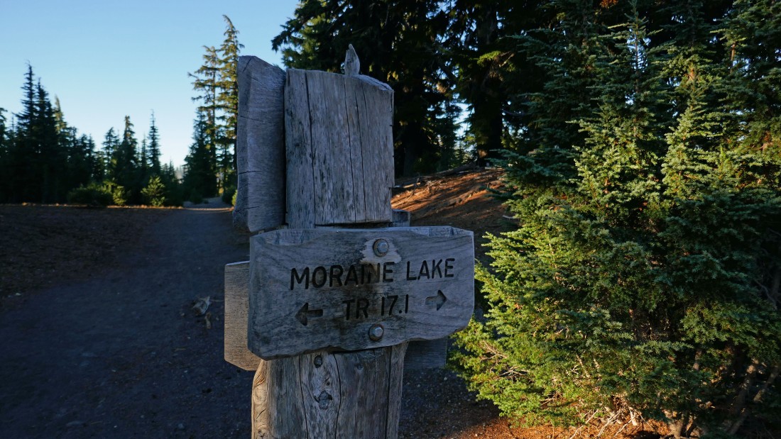
I stepped across the Moraine Lake Trail and continued hiking on South Sister Climber Trail #36.
|
Hiking on the plateau above Moraine Lake and reeling in South Sister.
|
|
Looking down on Moraine Lake... with Devils Hill in the far right foreground... and Mount Bachelor to the left of Devils Hill.
|
Looking back at Mount Bachelor and Devils Hill as I continue hiking toward South Sister.
|
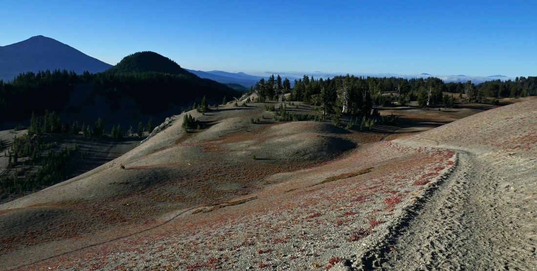
Nearing the place where I will leave the plateau above Moraine Lake and start hiking uphill again.
|
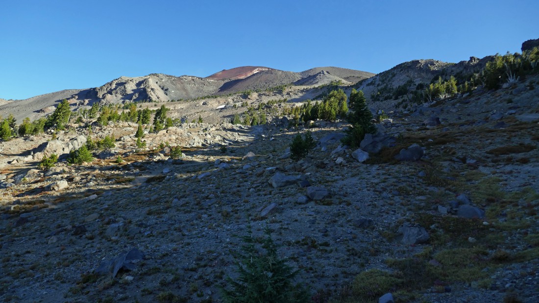
After hiking a total of 3.3 miles (~7000 feet) it is time to again start gaining elevation quickly.
|
Gaining elevation quickly now... looking back at the plateau above Moraine Lake in the center of the photo.
|
|
Nearing the Lewis Tarn.
|
After hiking a total of 4.7 miles I have reached Lewis Tarn (~8850 feet)... another 1.2 miles of hiking will put me on the summit of South Sister.
|
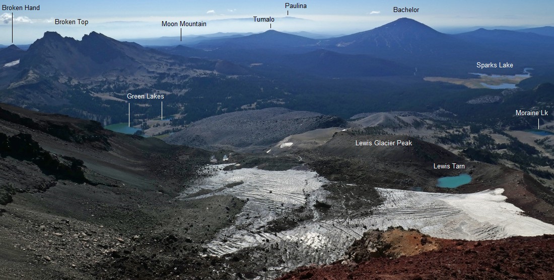
Looking back to the south from the Lewis Tarn area... showing my approximate route up to the tarn.
|
I have left Lewis Tarn and heading steeply uphill... staying to the left of the Lewis Glacier.
|
Looking back down at the Lewis Tarn as I continue to gain elevation.
|
|
Continuing to gain elevation on the south side of South Sister.
|

The upper part of the Lewis Glacier as I continue to gain elevation.
|
Continuing to gain elevation.
|
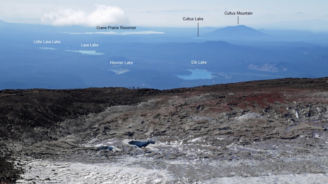
Looking back to the south from approximately 9800 feet as I continue to gain elevation... with the Lewis Glacier in the foreground.
|
After hiking a total of 5.5 miles I have reached the crater rim of South Sister at ~10,200 feet... notice the amount of snow in the crater and compare it to the amount of snow in the next photo.
|
|
This photo was taken on August 8, 2019... a lot more snow than today.
|
I hiked around the crater rim and am nearing the summit of South Sister.
|
After hiking a total of 5.9 miles I ran into these folks on the summit... my part-time employer (Pat) for the last 15 years who hiked up with his two children... Gabby and Romell... what an incredible coincidence!
|
A pano shot from the summit... showing the lack of snow in the crater... the 'Teardrop Pool' in the right center of the photo looks like a mud puddle.
|
Pat, Gabby and Romell have left the summit and are in the center of the photo getting ready to head down.
|

A closeup of the melted area in the crater... hard to see it, but it is almost like a river running from the upper left to the lower right in the photo.
|
A selfie from the summit (10,358') of South Sister.
|
Looking north from the summit of South Sister... with the Chambers Lakes below... Middle Sister is in front of North Sister... I could actually see Mount Hood on the horizon... and that is a long ways away.
|
Time to trace my steps back to the car... Broken Top is out there on the left horizon.
|
Hiking back along the crater rim portion of the trail.
|
|
I have left the crater rim and heading down.
|
Heading back down to Lewis Tarn.
|
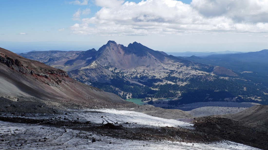
Looking over at Broken Top and Green Lakes as I continue back down to Lewis Tarn.
|
I have passed by the Lewis Tarn and looking forward to getting back down to the plateau above Moraine Lake in the center of the photo.
|
Looking back at South Sister as I have reached the plateau above Moraine Lake after hiking a total of 8.6 miles.
|
|
The plateau above Moraine Lake isn't exactly flat... but when compared to the steepness in the rest of the hike, it feels flat!
|
Looking back at the approximate route to the summit area of South Sister.
|
Above Moraine Lake... with Broken Top on the left... and Mount Bachelor and Devils Hill on the right.
|
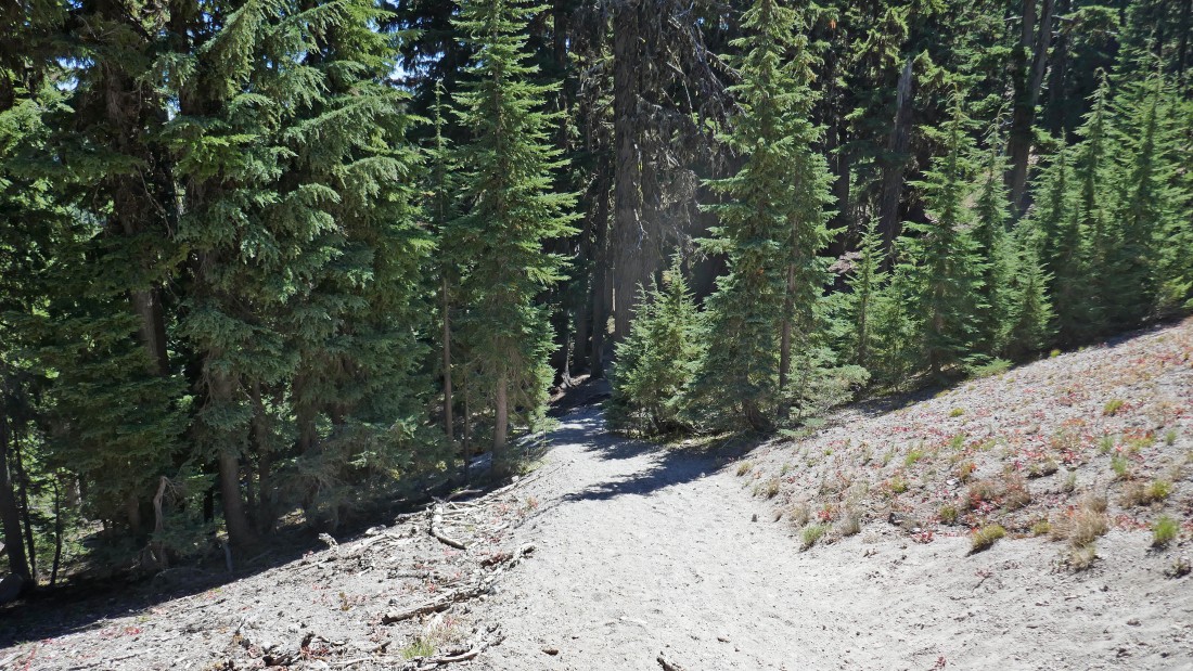
After hiking a total of 10 miles it is time to leave the plateau above Moraine Lake and enter the woods to hike the last 1.8 miles back to the car.
|
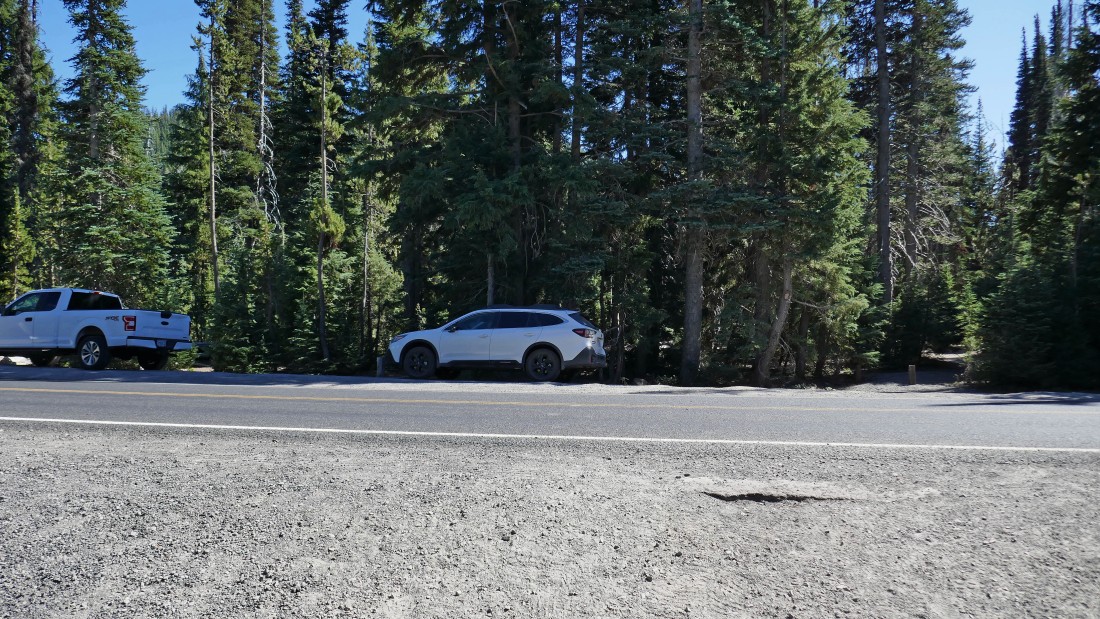
I have reached the Cascade Lakes Highway and my car is parked right there... the total hike was 11.8 miles, gaining 5190 feet of elevation.
|
