Bean Peak - 9.21.2021
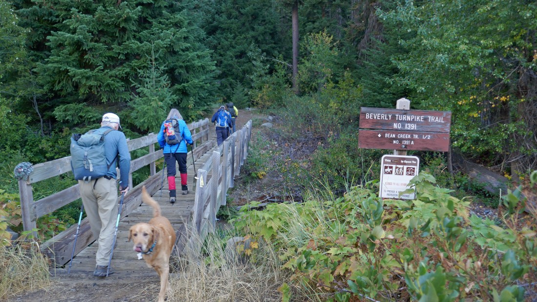
We parked at the trailhead for Beverly Turnpike Trail #1391... the elevation was ~3650 feet.
|
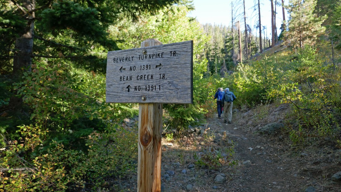
After hiking a half-mile we left the Beverly Turnpike Trail and took Bean Creek Trail #1391.1.
|
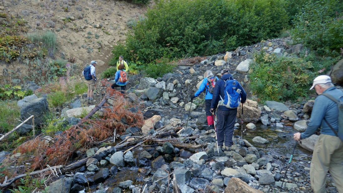
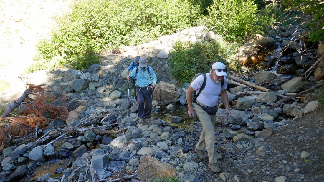
After hiking a total of .8 miles we made a very easy crossing of Bean Creek... earlier in the year this can be a very tricky stream crossing.
|
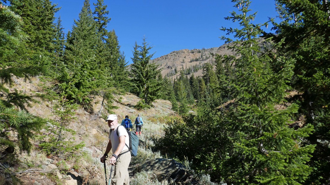
After hiking a total of 2 miles, Bean Creek Trail #1391.1 crosses Bean Creek and heads up to the pass on the south side of Earl Peak... but we will use Bean Creek Trail #1391.2 and follow it into Bean Creek Basin.
|
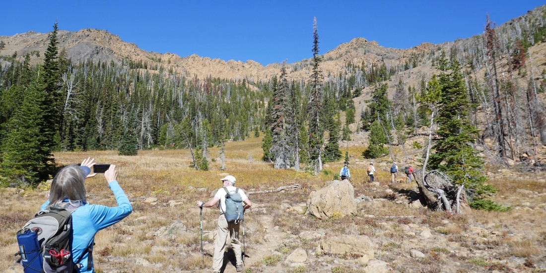
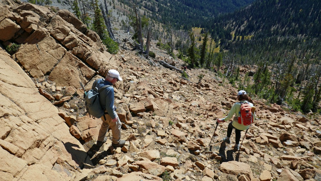
After hiking a total of 2.5 miles we have reached Bean Creek Basin... and got our first really good look at Bean Peak up there on the right.
|
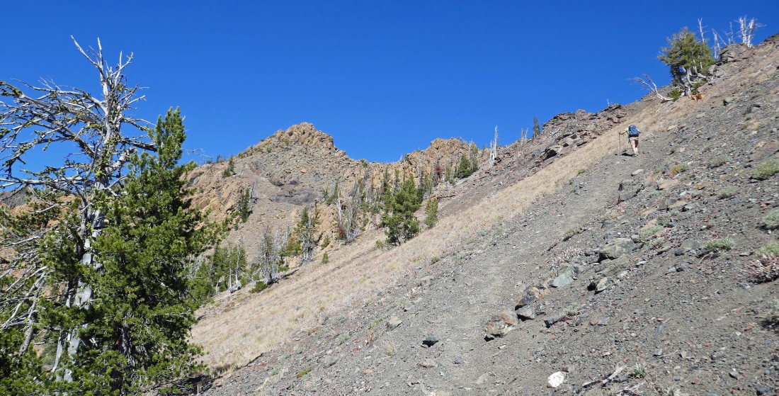
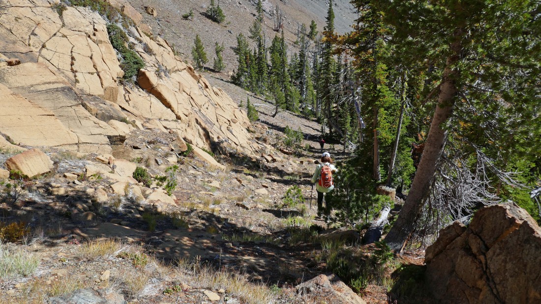
We have left Bean Creek Basin and are following a good path that will take us up to the SE ridge of Bean Peak... the ridge between Bean Peak and Earl Peak.
|
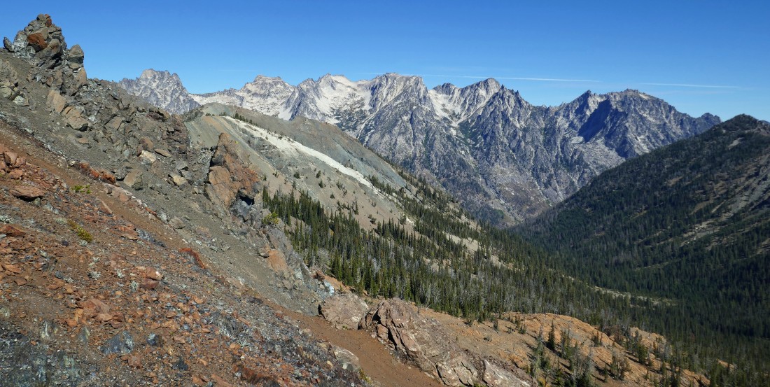
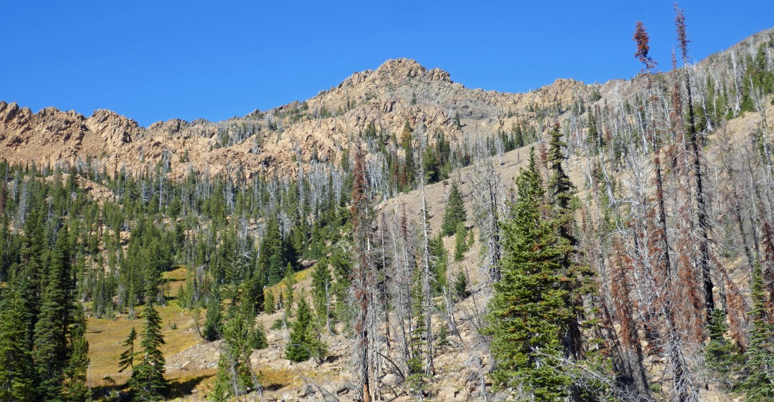
After hiking a total of 2.9 miles (~6360 feet) we have reached the SE ridge of Bean Peak... and are welcomed with this view of a lot of the Stuart Range peaks... left to right... Argonaut, Colchuck, Dragontail, Little Annapurna and McClellan.
|
Heading for the summit of Bean Peak.
|
High enough now to see Mount Stuart and Sherpa Peak on the horizon to the right of Bean Peak.
|
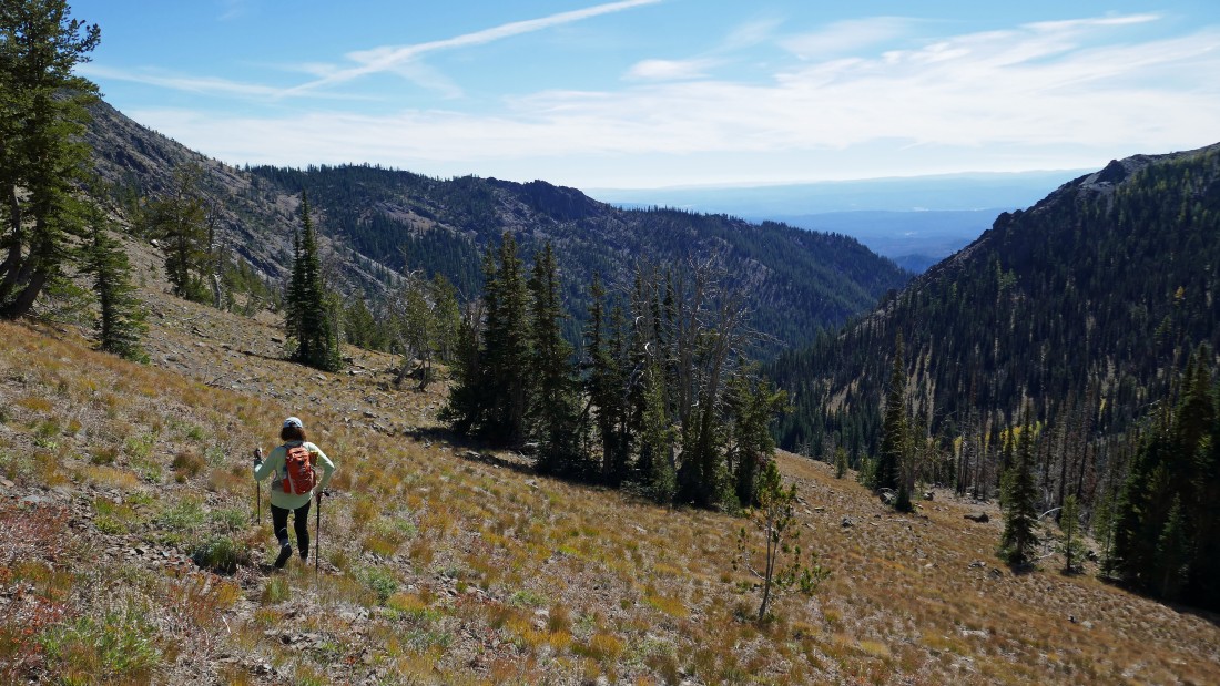
Continuing to reel in Bean Peak as we continue to hike along the SE ridge of Bean Peak.
|
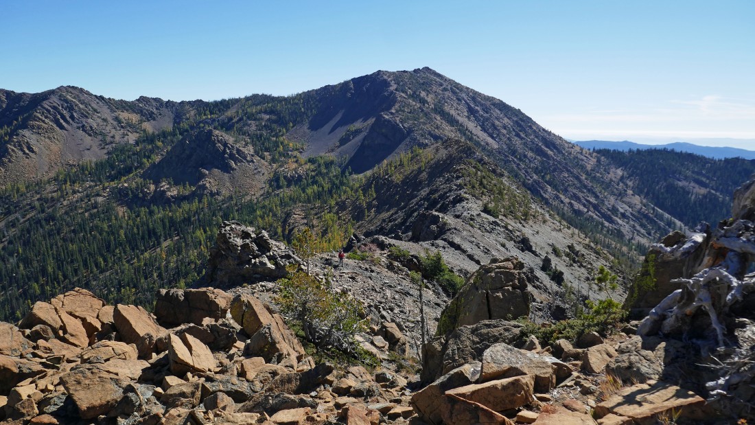
Looking back at Earl Peak and the route we used from the low point on the ridge to where we are standing.
|
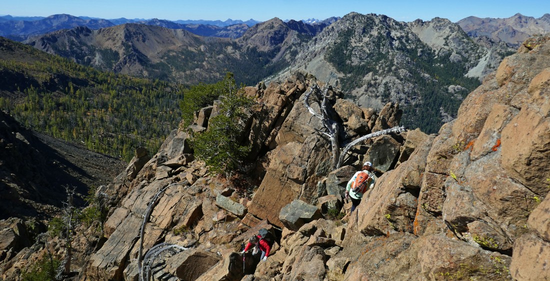
rocman and BarbE have started up the Class 2/3 terrain on the SE ridge of Bean Peak.
|
rocman and BarbE are waiting for Snowdog and me to arrive.
|
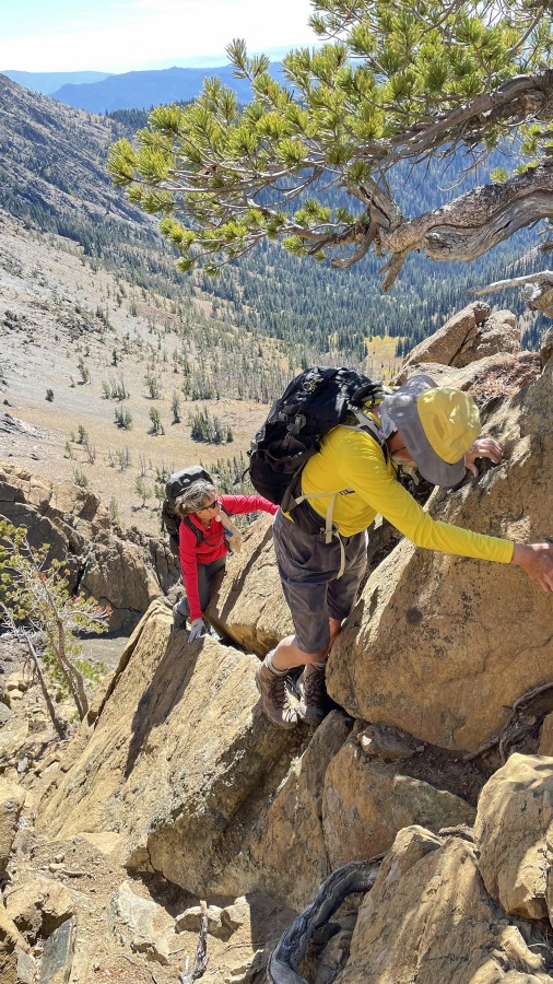
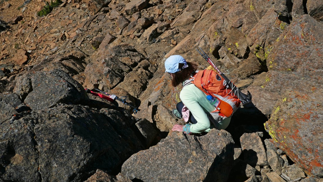
BarbE took this photo of Snowdog and me working our way along the crux moves on the SE ridge of Bean Peak.
|
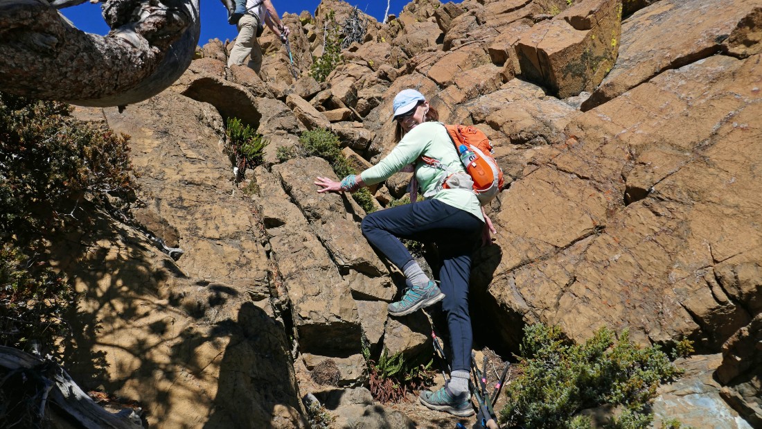
Continuing to scramble up the SE ridge of Bean Peak.
|
|
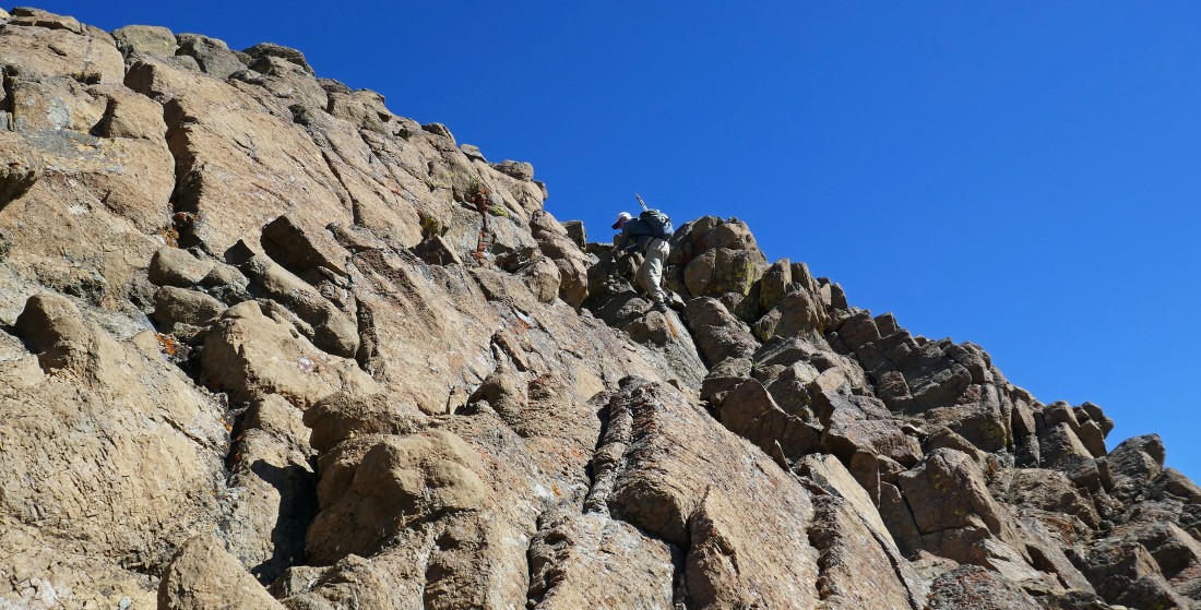
Continuing to scramble up the SE ridge of Bean Peak.
|
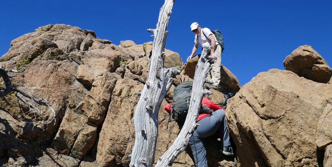
Continuing to scramble up the SE ridge of Bean Peak.
|
Almost on the summit... with Mount Stuart and Sherpa Peak coming into view on the far right.
|
rocman, Snowdog and BarbE on the summit (6743') of Bean Peak... with Mount Stuart and Sherpa Peak on the right... and Fortune Peak and the three summits of Ingalls Peak in the center of the photo... with The Cradle and Nursery Peak visible beyond Stuart Pass which is located between Ingalls Peak and Mount Stuart.
|
After hiking a total of 3.25 miles we are on the summit of Bean Peak... left to right... rocman, BarbE, me and Snowdog.
|
|
Looking NW (left) to north from the Bean summit... Bills Peak is in front of Esmeralda Peaks on the far left... with Fortune, Ingalls and the Stuart Range on the horizon... and Volcanic Neck and Devils Head along the ridge right in front of us.
|
Looking east to Navaho Peak on the far left... and SE to Earl Peak on the right.
|

Looking south down into Bean Creek Basin from the summit of Bean Peak.
|
Looking beyond Judi's Peak (far left) and Mary's Peak to Mount Rainier on the horizon.
|
Time to leave the Bean Peak summit... choosing to work the Class 2 terrain on the south side of Bean Peak.
|
Going down the south side of Bean Peak.
|
Going down the south side of Bean Peak.
|
Watching rocman work the south side of Bean Peak.
|
Going down the south side of Bean Peak.
|
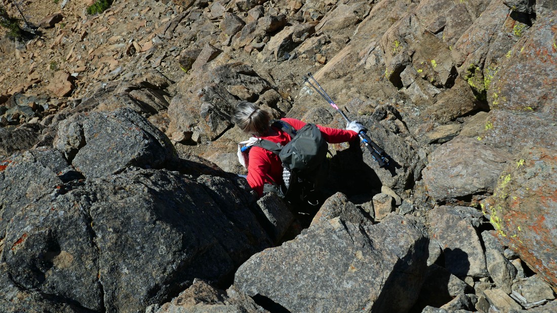
Off of the Class 2 terrain... but still need to pay attention while on the loose rocks as we work our way back down to Bean Creek Basin.
|
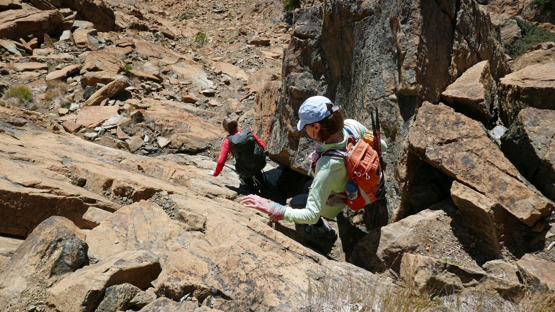
Working our way down to Bean Creek Basin.
|
Working our way down to Bean Creek Basin.
|
After hiking a total of 4 miles we have returned to Bean Creek Basin... saying goodbye to Bean Peak on this awesome hiking weather day!
|
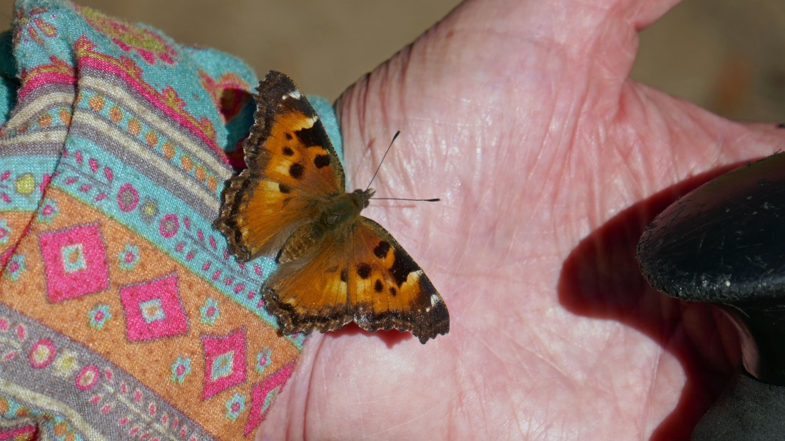
This butterfly landed on BarbE's hand... and it would not leave her hand until she blew it off.
|
After hiking a total of 5.7 miles we have returned to the crossing of Bean Creek... leaving another .8 miles of hiking to get back to our cars... the total hike was 6.5 miles, gaining 3201 feet of elevation.
|
