Devils Hill and Moraine Lake - 10.9.2021
|
I parked (~5450') next to the Cascade Lakes Highway where the trail comes from the Devils Lake Parking Lot on the left and crosses the highway.
|

This sign for South Sister Climber Trail #36 is just across the highway from where I parked.
|
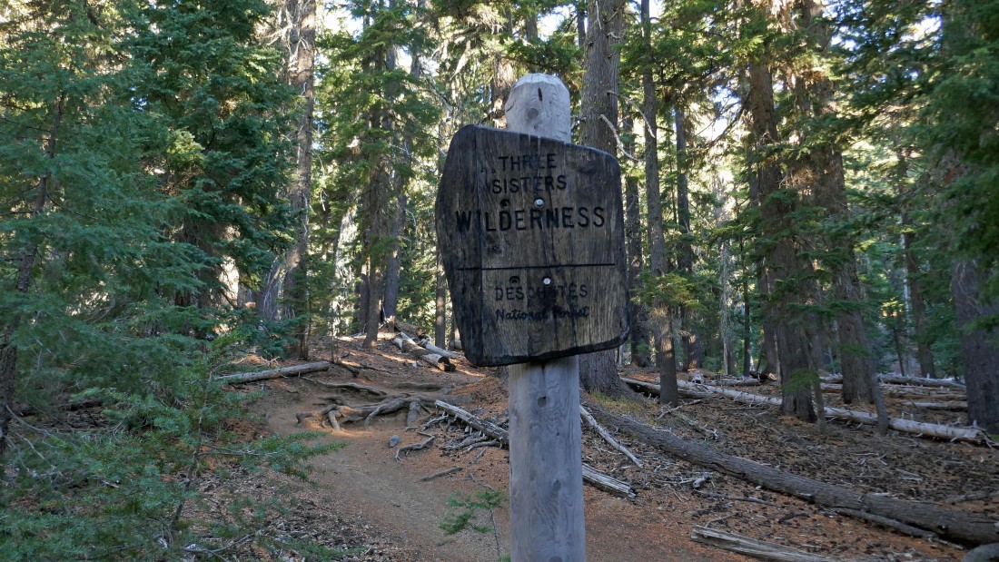
I am entering Three Sisters Wilderness after hiking less than a quarter mile.
|
After hiking a total of 1.8 miles (~6700') I have reached the trail junction with Moraine Lake Trail #17.1... where I will leave the South Sister Climber Trail and start heading east on the Moraine Lake Trail.
|
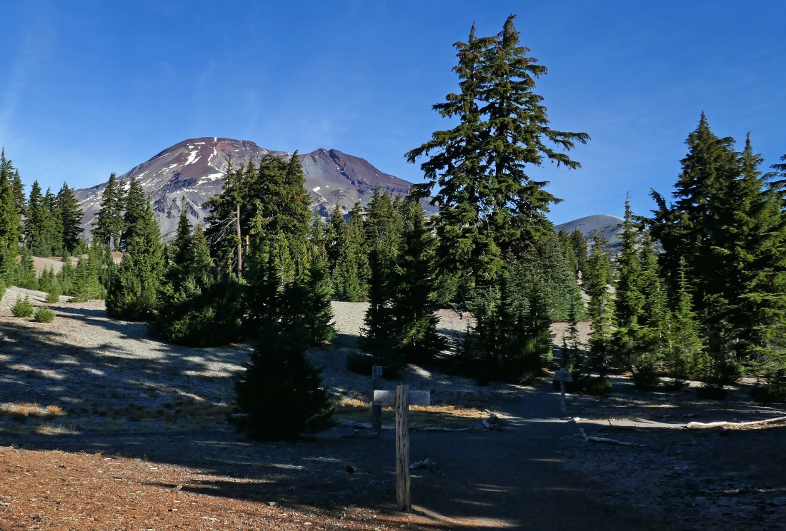
I stayed on Moraine Lake Trail #17.1 for less than an eighth of a mile... here looking north to South Sister on the left... with Broken Top in the center of the photo.
|
|
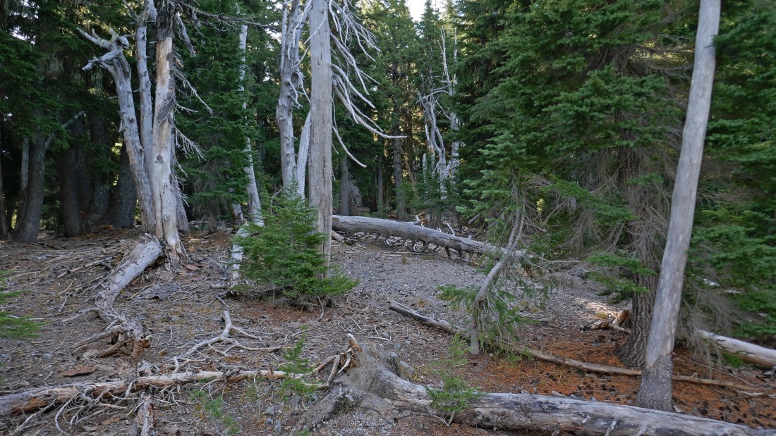
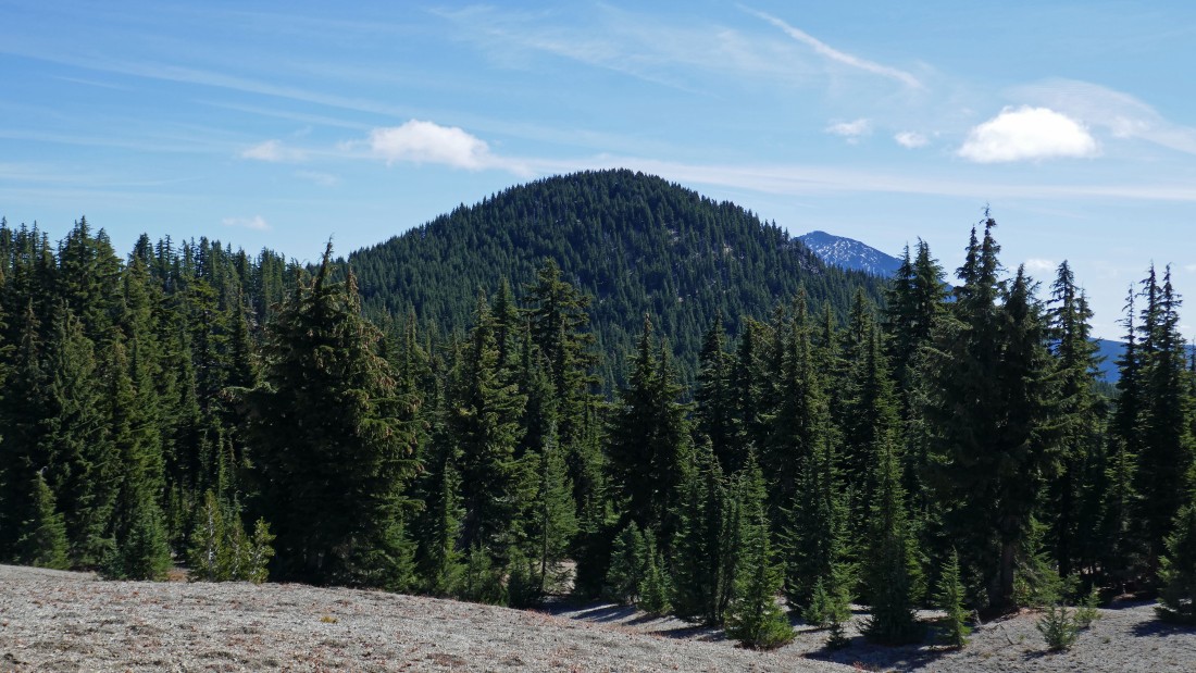
Hiking cross country now with Devils Hill on the far right... and Broken Top on the far left... lots of ups and downs will get me over to the base of Devils Hill... looks like a treed summit to me!
|
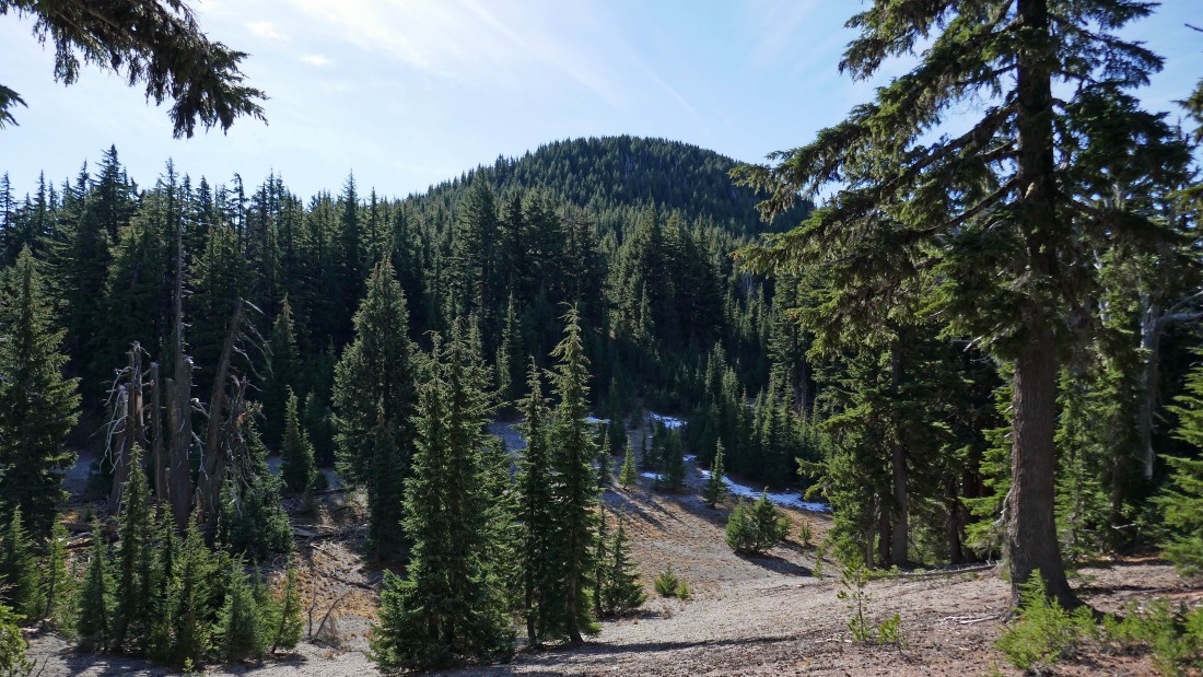
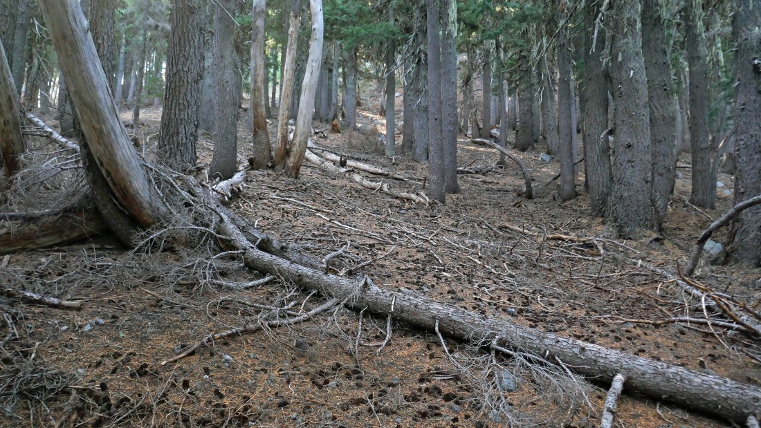
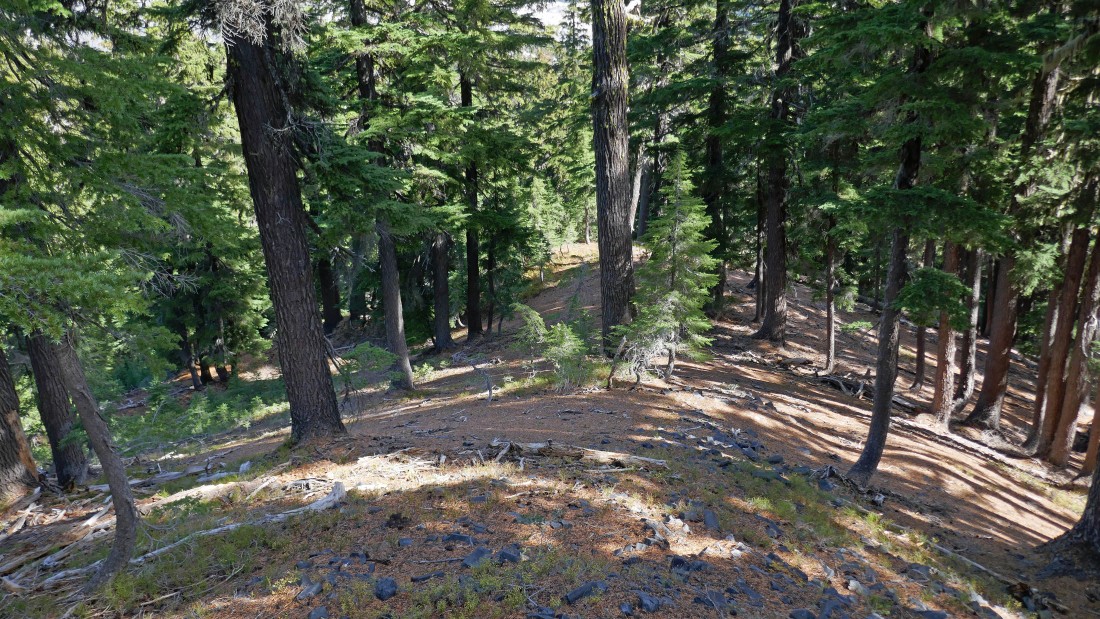
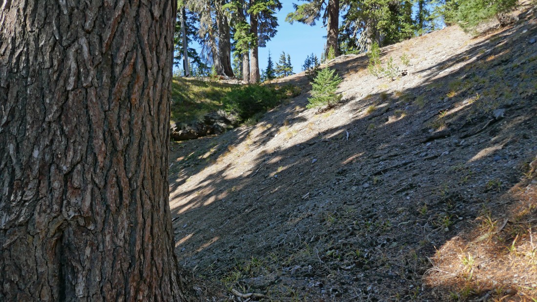
Pretty easy terrain to deal with... not very brushy in the tall timber.
|
Devils Hill in the distance... did I mention that there were a lot of ups and downs to get over there.
|
Really nice to be running a GPS track to help me navigate through the forest.
|
A peek-a-boo view of South Sister as I head for Devils Hill.
|
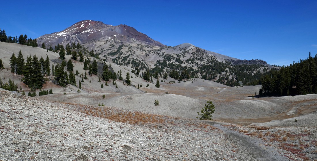
After hiking a total of 2.8 miles I have reached ~6800 feet... where the last 280 feet of elevation gain to the summit is going to steepen considerably.
|
Heading up (much steeper than the photo shows) to the Devils Hill summit.
|
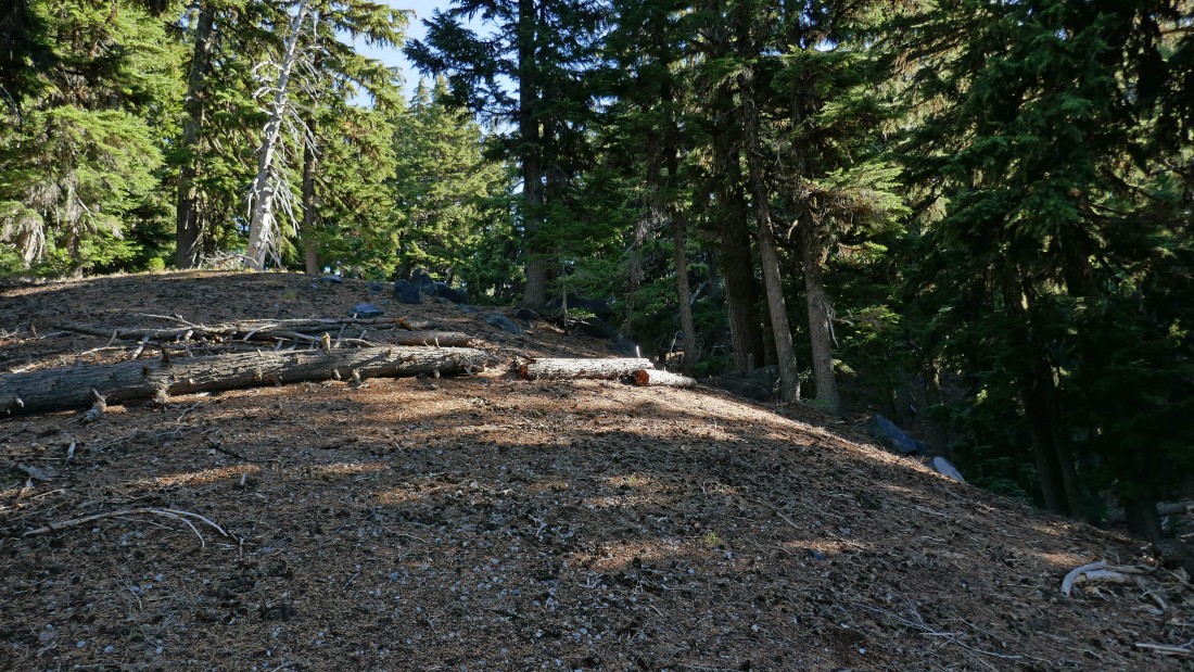
A flatish spot just below the summit.
|
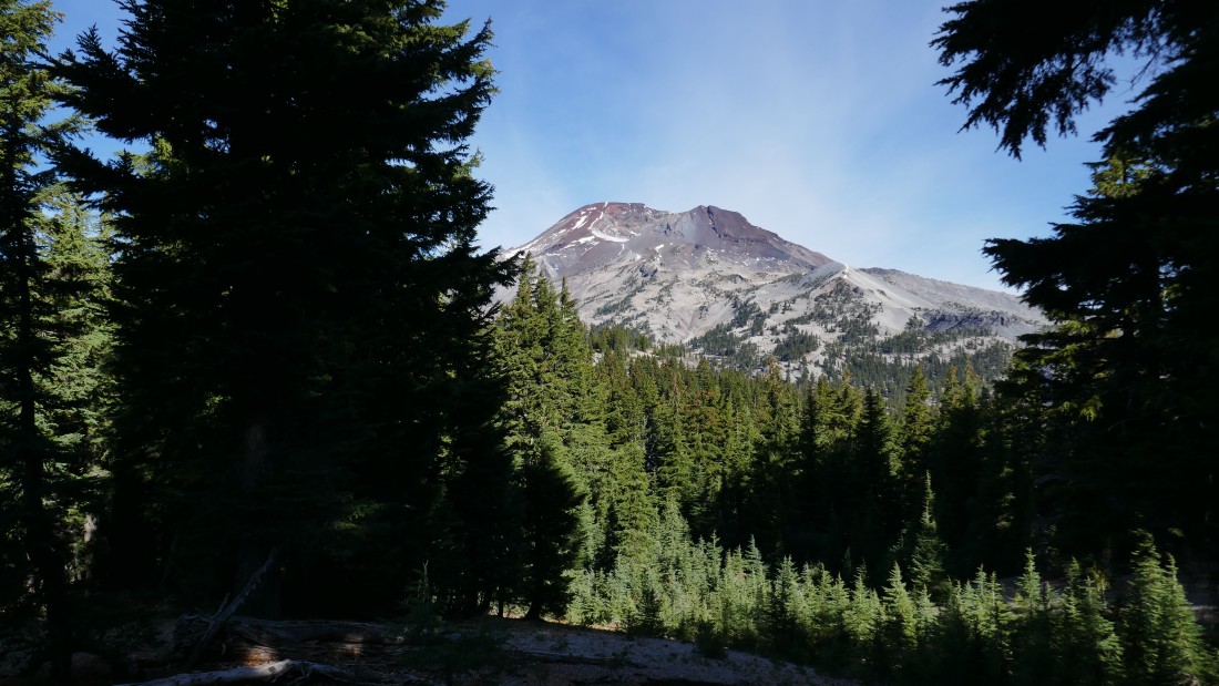
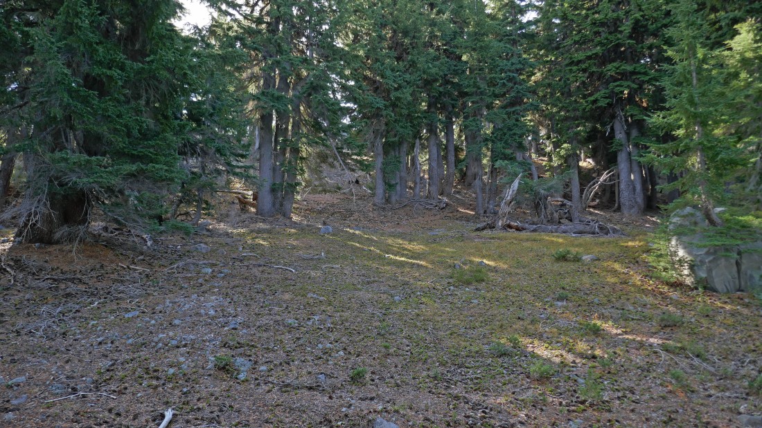
After hiking a total of 3 miles I have reached the Devils Hill summit (7080+)... with South Sister on the left and Broken Top in the right-center... Ball Butte is to the right of Broken Top... with a couple of the 'Devils Chain' lava domes below me.
|
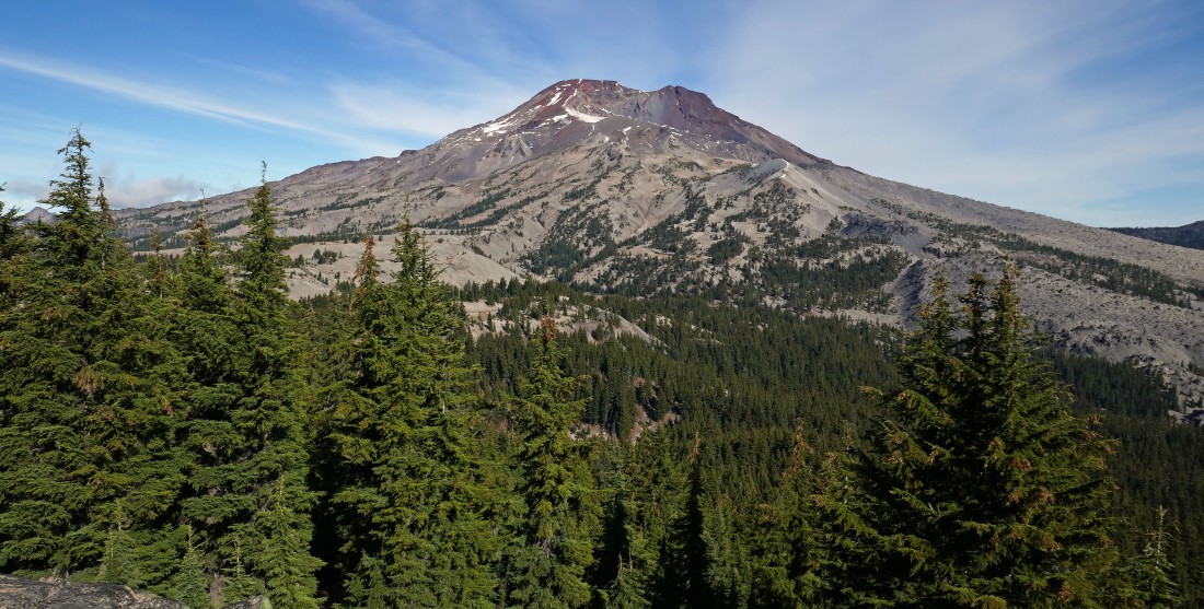
A closer look at South Sister from my summit perch.
|

A closer look at Broken Top and Ball Butte from my summit perch... with Moon Mountain sneaking into the photo on the far right.
|
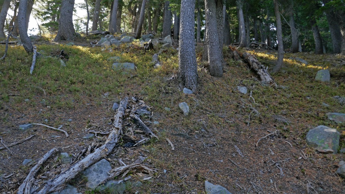
There are a lot of trees on the summit area of Devils Hill... however, it was very easy to look around for nice windows that offer views out into the great wide open.
|
A closer look at Mount Bachelor and Sparks Lake from the Devils Hill summit area.
|

A closeup of Devils Lake from the Devils Hill summit area... I am actually parked fairly close to Devils Lake.
|
Instead of tracing my steps back the way I came I decided to make a cross country hike down to Moraine Lake.
|
As I was heading for Moraine Lake I noticed that I was a couple hundred feet below Moraine Lake... so I needed to regain some elevation... should have been paying closer attention to my GPS device.
|
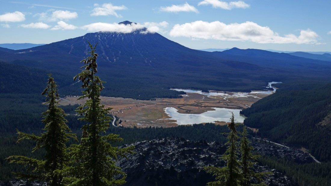
Nearing Moraine Lake... with this view of a portion of the Newberry Lava Flow and Broken Top.
|
I have found a portion of Moraine Lake Trail #17.1 that comes over from Green Lakes Trail #17... and I can see Moraine Lake on the other side of the trees.
|
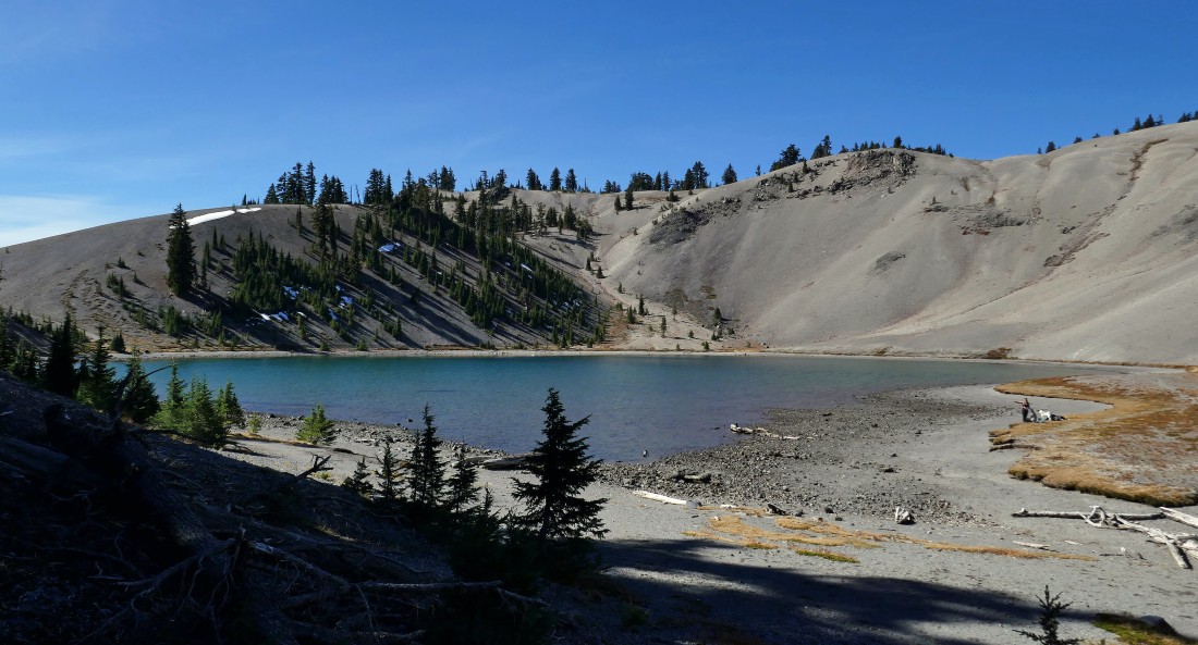
After hiking a total of 4.5 miles I have reached Moraine Lake.
|
After hiking along the east shoreline of Moraine Lake I have passed the lake and will follow the Moraine Lake Trail up out of the lake basin... here looking back at the lake and South Sister.
|
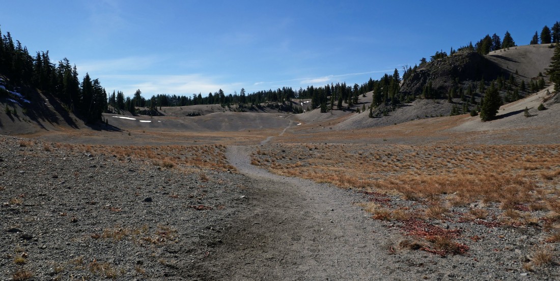
Following Moraine Lake Trail #17.1 that will take me up out of the lake basin... I will be able to close the loop portion of my hike when I get up to that little ridge line running from left to right across the photo.
|
Looking back at South Sister as I exit the Moraine Lake Basin.
|
After hiking a total of 5.2 miles I have closed the loop portion of my hike... here looking over at Devils Hill... with Mount Bachelor in the distance beyond Devils Hill on the right.
|
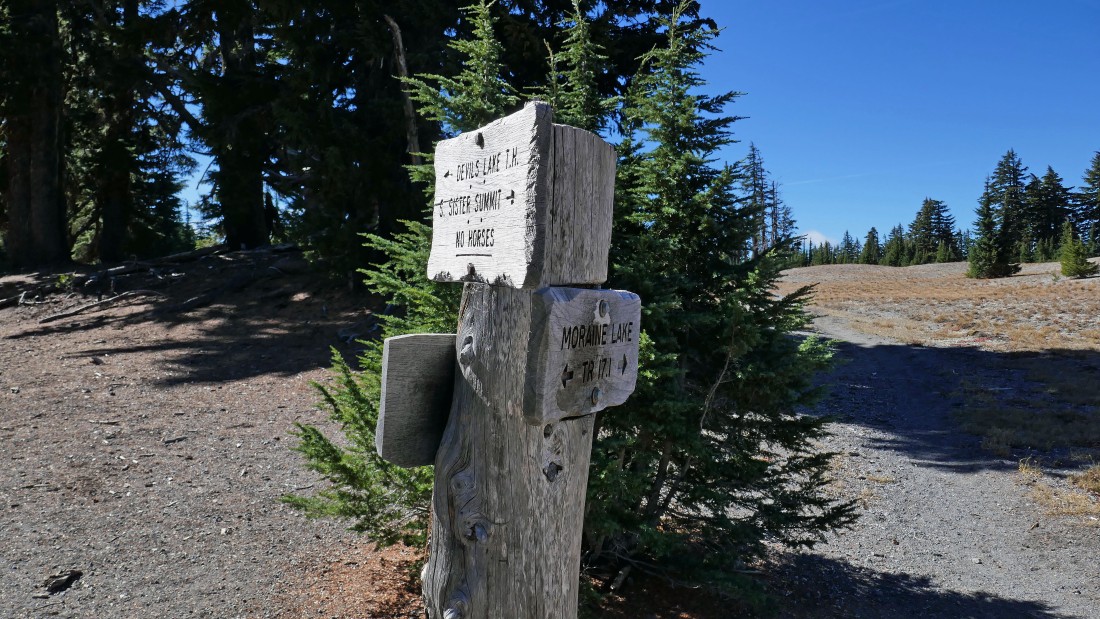
After hiking a total of 5.4 miles I have returned to the junction of the Moraine Lake Trail and the South Sister Climber Trail... where I will trace my steps back to my car using the climber trail.
|
Back at the Cascade Lakes Highway where my car is parked across the highway... the total hike was 7.3 miles... gaining 2600 feet of elevation.
|
