Vista Butte Area - 12.1.2021
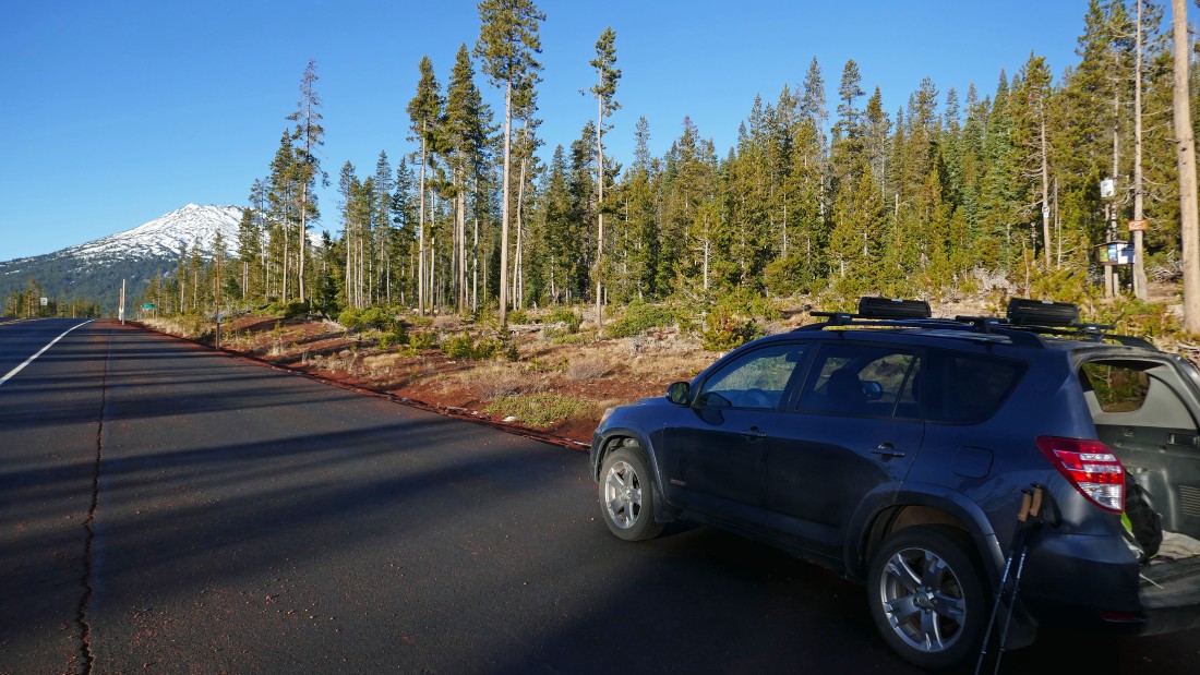
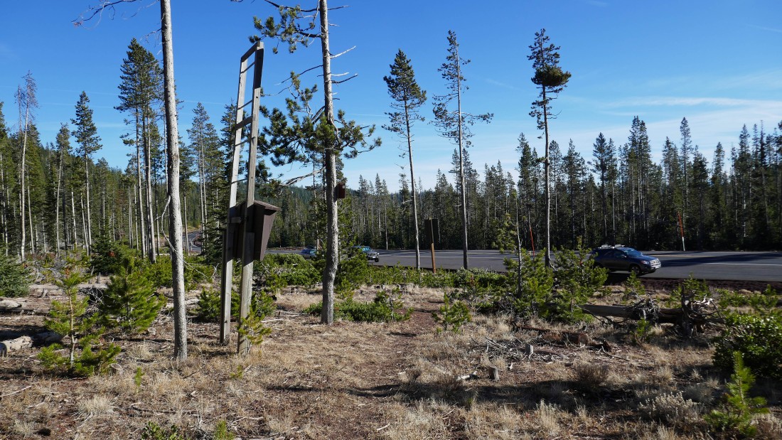
I parked at the Vista Butte Sno-Park which is located next to the Cascade Lakes Highway... located near Mount Bachelor which is visible in the distance.
|
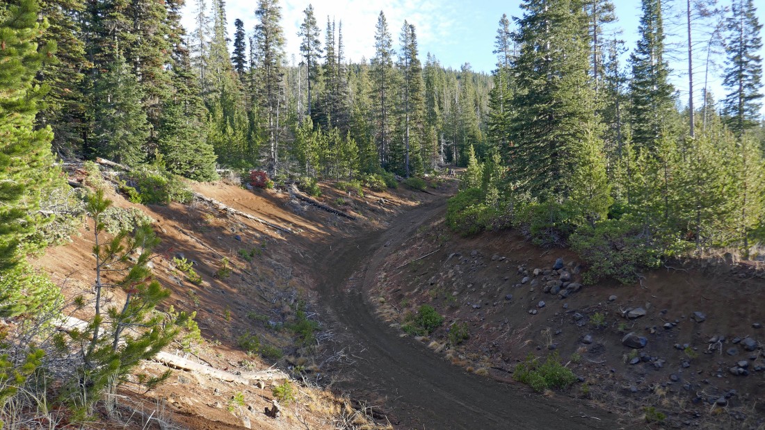
I hiked cross country for a quarter mile in an eastern direction... following along the Cascade Lakes Highway to where I found Trail #5... this is a snowmobile trail/road that comes over from the Kapka-Vista Sno-Park which is located on the opposite side of the highway from where I parked at the Vista Butte Sno-Park.
|
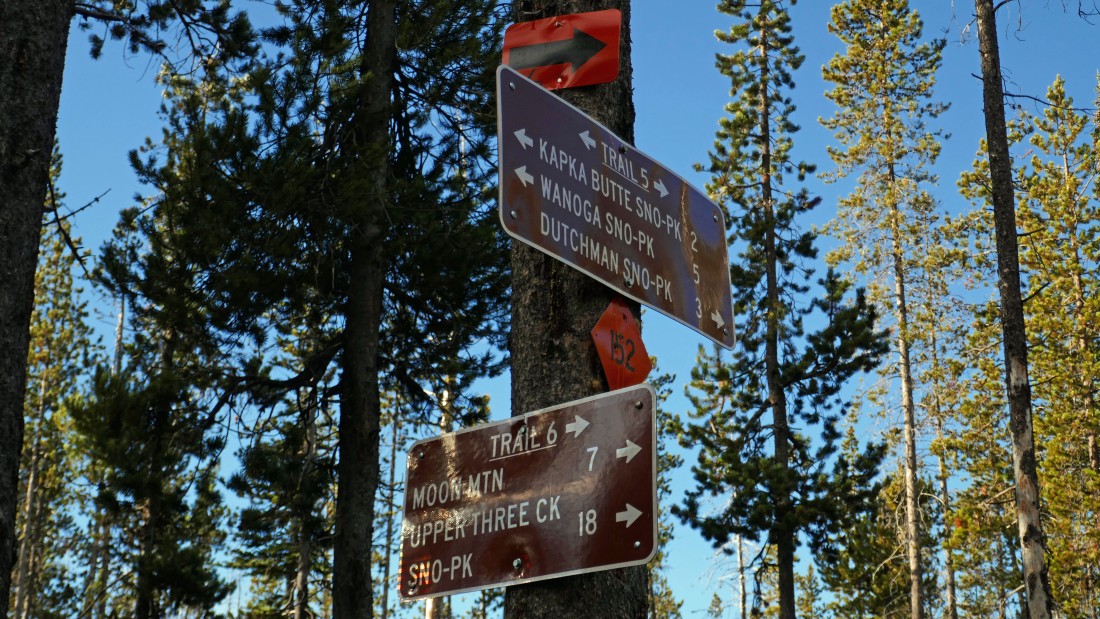
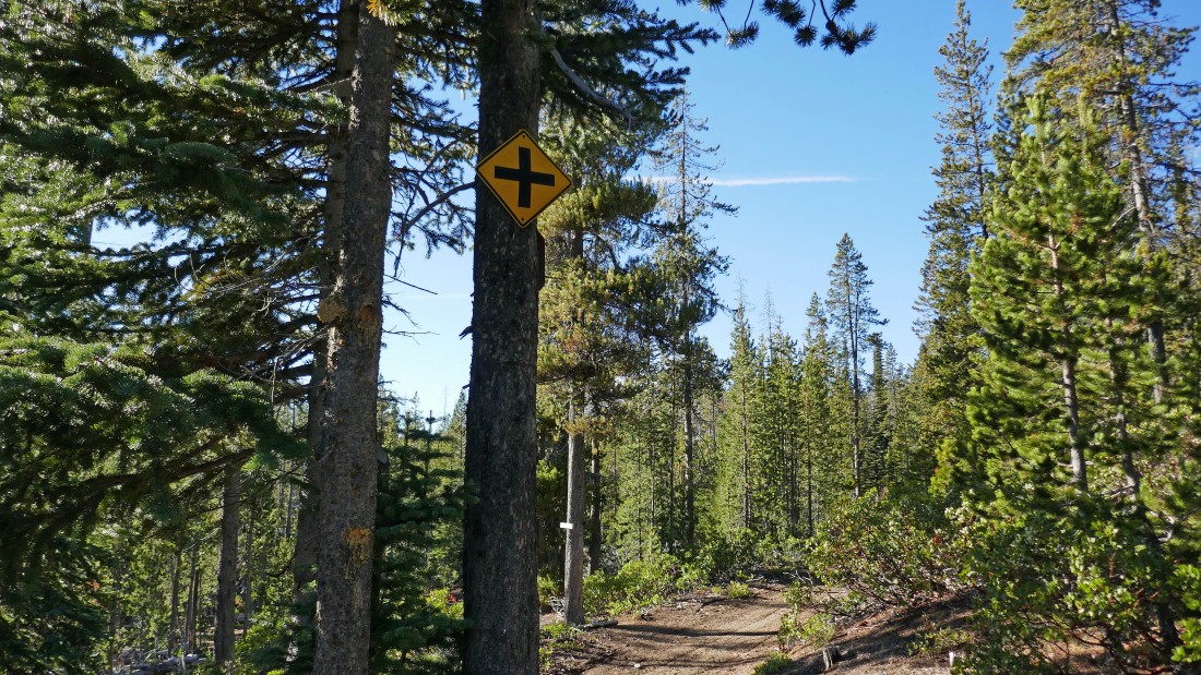
After hiking for a total of 1.4 miles (1.2 miles was on Trail #5)... I reached a junction with Trail #6... which I will start hiking on to the north.
|
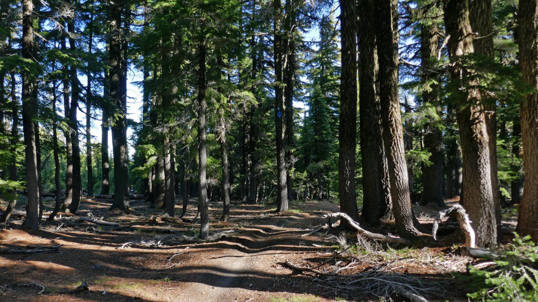
Trail #6 is a snowmobile trail/road.
|
After hiking a total of 3.9 miles (2.5 miles was on Trail #6) I have reached the trail junction of Trail #6 and Flagline Trail #41... and I will head east and SE on the Flagline Trail.
|
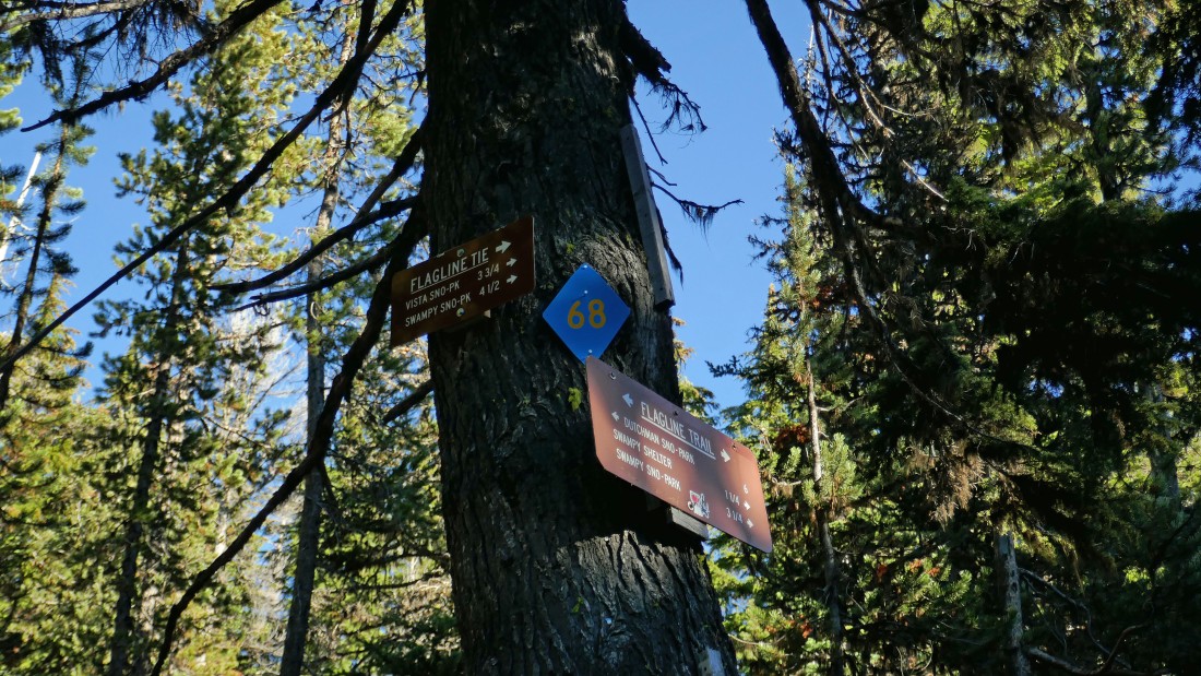
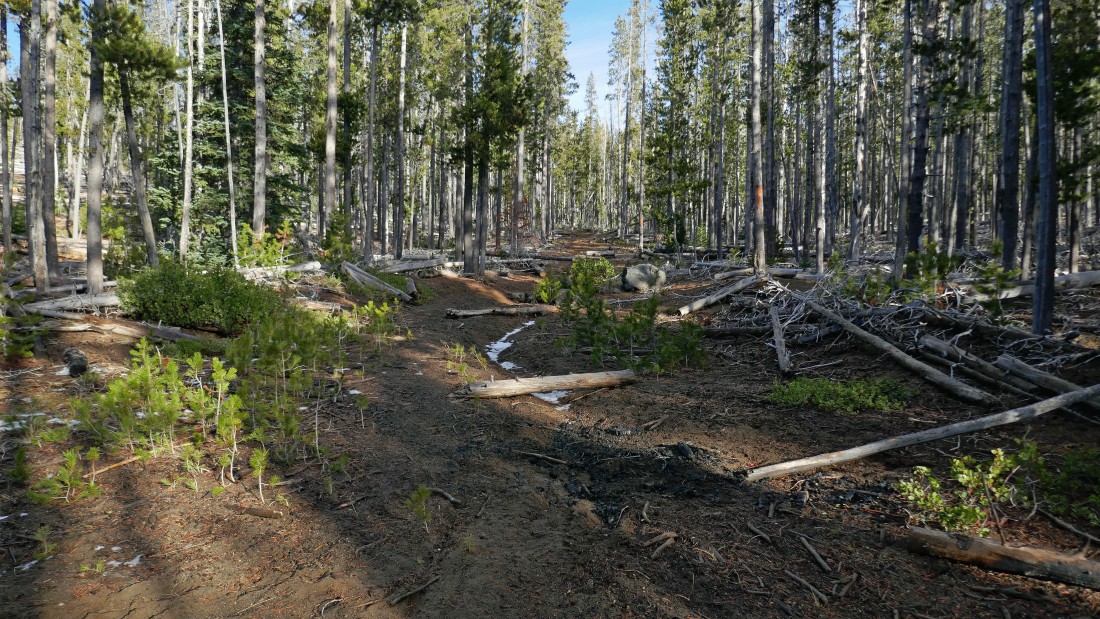
After hiking a total of 5.5 miles (1.6 miles on the Flagline Trail) I have reached the junction of the Flagline Trail #41 and Flagline Tie Trail #40.3 where I will head south on the Flagline Tie Trail.
|
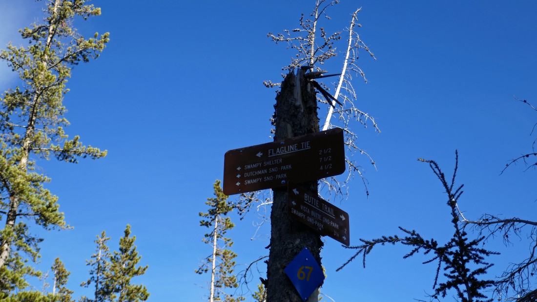
After hiking a total of 6.9 miles I have reached the junction of Flagline Tie Trail #40.3 (1.4 miles on the Flagline Tie) and the Butte Trail... where I will head SW on the Butte Trail.
|
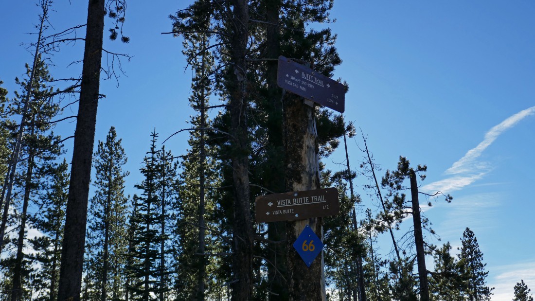
After hiking a total of 7.1 miles I have reached the junction of the Butte Trail (a quarter mile of hiking on the Butte Trail) and Vista Butte Trail #40.2... where I will continue hiking south on the Butte Trail.
|
After hiking a total of 7.9 miles I have returned to the junction of the Butte Trail and Trail #5 where I was earlier in the day... leaving another 1.1 mile hike on the Butte Trail to get back to the car.
|
Back at the Vista Butte Sno-Park... this figure eight hike was a total of 9 miles, gaining 1314 feet of elevation.
|
