Pinto Mountain - 1.8.2022
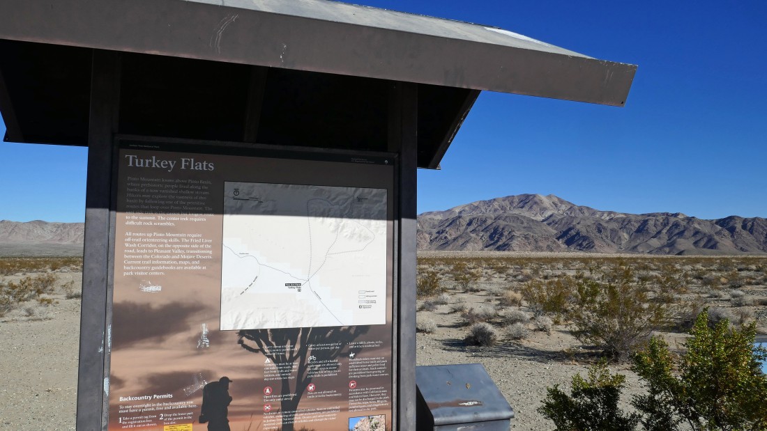
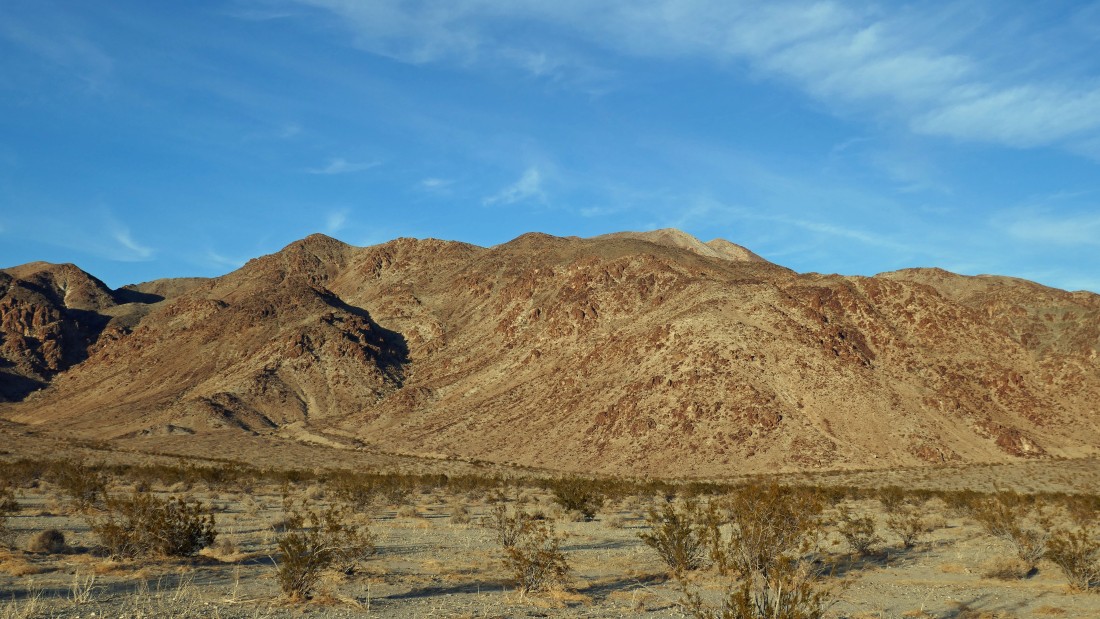
We parked (~1800') at Turkey Flats... a paved pullout on the Pinto Basin Road in Joshua Tree National Park... Pinto Mountain is on the horizon.
|
It will be a 2.6 mile desert hike to the base of Pinto Mountain... looks like we will be crossing over a long sand dune in the distance.
|
After hiking a total of one mile we have reached the sand dune... still some hiking to do in order to reach the base of Pinto Mountain.
|

From the sand dune we are looking back across Pinto Basin to where we parked... the white dot might be our car... looking at the Hexie Mountains... with Point 4251 the rounded bump in the left-center of the photo... and Mary Peak the more rugged looking bump in the right-center of the photo.
|
Getting closer to the base of Pinto Mountain.
|
|
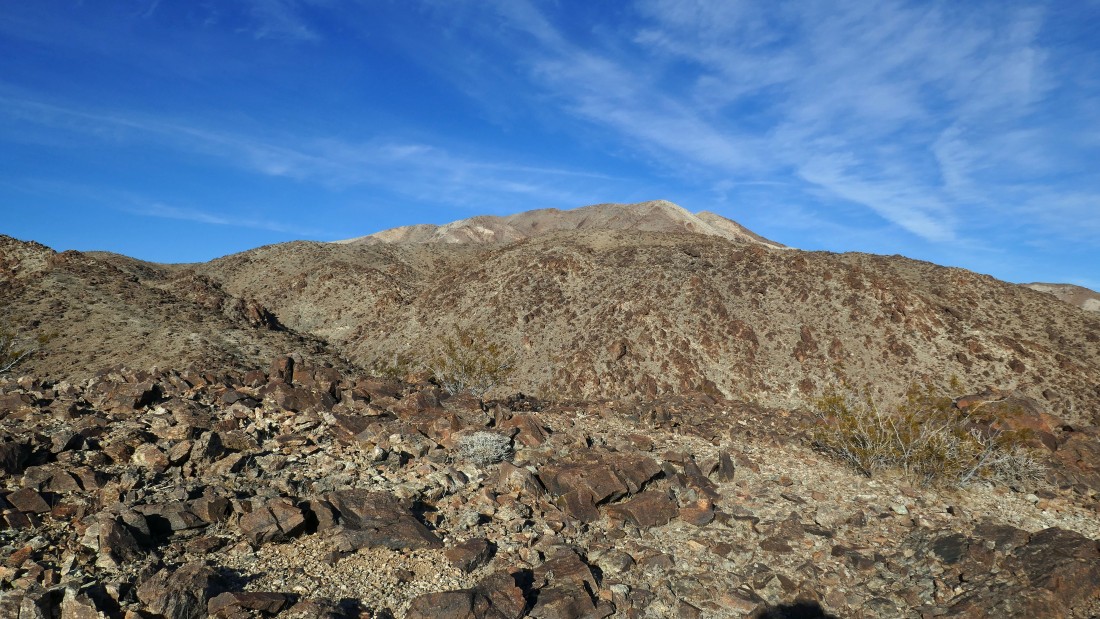
Nearing the base of Pinto Mountain... we will start gaining some serious elevation up there on the far right... with the summit area way back there in the center of the photo.
|
After hiking a total of 2.6 miles it is time to scramble up the faint path... we are at 1800 feet of elevation here... which is the same elevation where we parked in Turkey Flats.
|
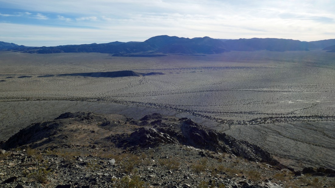
Looking back across Pinto Basin as we continue to gain elevation... with the Eagle Mountains on the far left horizon... and the Hexie Mountains on the other side of Pinto Basin.
|
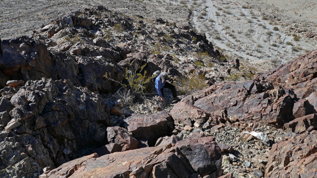
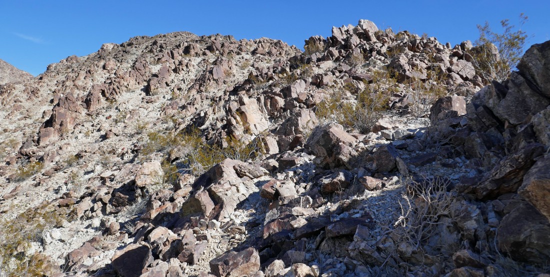
Just about every step requires special attention... most of the rocks are loose... and begging people to slip and fall.
|
Continuing to go up and over bumps along Pinto's south ridge... here we can't even see the summit area.
|
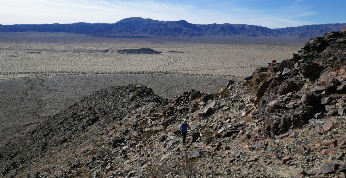
Watching Denali Girl gain elevation on Pinto's south ridge... looking back across Pinto Basin to the Hexie Mountains... with Point 4251 and Mary Peak in the center of the photo.
|
Once again we can see Pinto's summit area in the distance... but still plenty of ridge bumps to deal with.
|
After hiking a total of 3.4 miles Denali Girl has reached the top of a 2800 foot bump... having gained 1000 feet of elevation in .8 miles... she said she was done... and sent me off alone.
|

Still more bumps to deal with in order to reach the summit... I still have a mile of hiking/scrambling to do to get to the summit... that involves another 1200 feet of elevation gain.
|
Denali Girl took this photo of me heading for the Pinto summit... I'm the yellow dot in the center of the red circle.
|
|
Just a few more bumps to deal with before the final push.
|
Getting closer!
|
Looking back across Pinto Basin to the Hexie Mountains... I've just come up the ridge in the center of the photo... and will return via the ridge on the right.
|

Steep and rugged terrain to deal with here.
|
Looking back as I continue to gain elevation on Pinto's south ridge... I will be returning via the ridge in the middle of the photo.
|
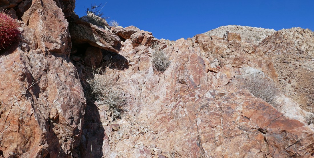
Steep terrain and loose rock... but getting close to the summit area.
|
Nearing the summit area and looking back at the route I will use to get back down to the desert.
|
Looks like I'm getting ready to crest.
|
At last I can see the true summit over there.
|
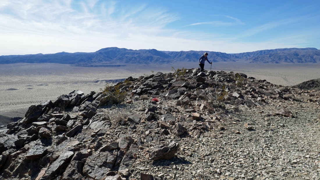
After hiking a total of 4.6 miles in 3.5 hours I have reached the summit (3983') of Pinto Mountain... taking 2.5 hours to gain the 2200 feet of elevation since leaving the desert floor two miles ago.
|
|
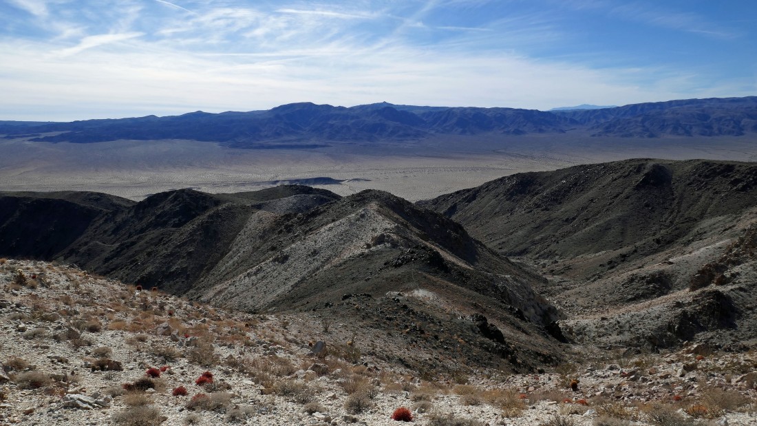
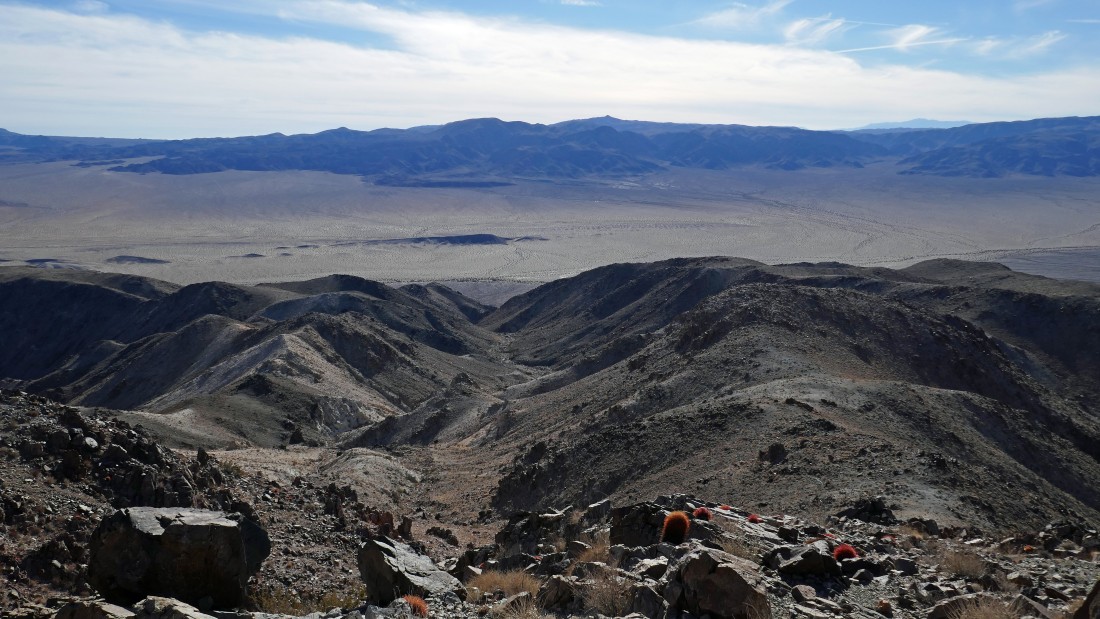
From the summit... looking east beyond Pinto's false summit to the Coxcomb Mountains... south to the Eagle Mountains... and SSW to Monument Mountain... the highest point in the Hexie Mountains.
|
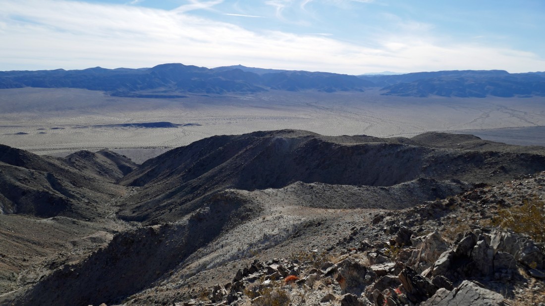
From the summit... looking SW to the Santa Rosa Mountains and NW to San Gorgonio Mountain.
|
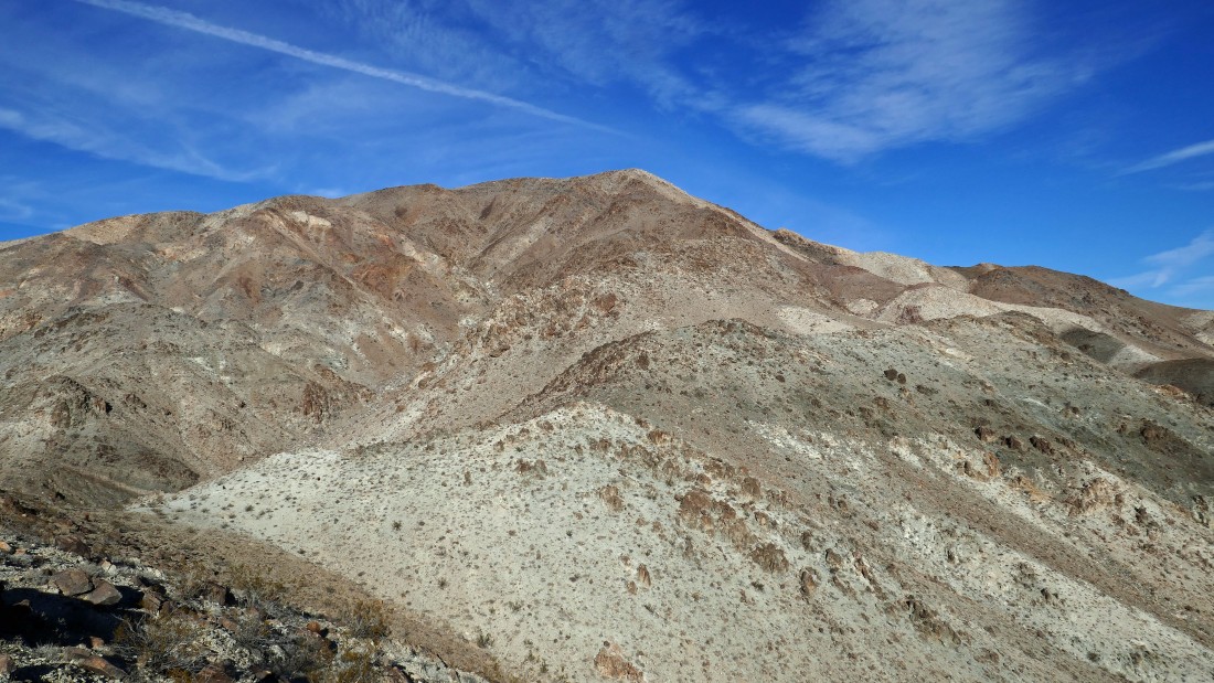
The Pinto summit is not visible from where we parked at Turkey Flats... the summit area is visible, but the false summit appears to be the high point from the parking area.
|
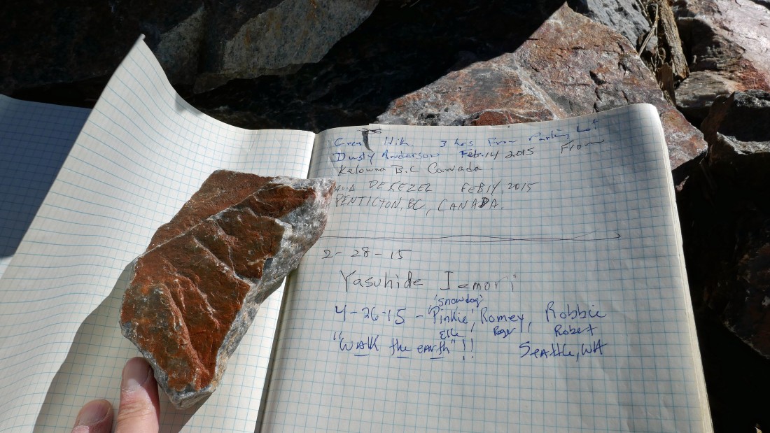
Snowdog signed us into the summit register on April 26, 2015.
|
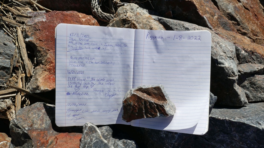
Please tell me what I get for being the first person to sign the register in 2022... It's 1:30pm and I have 3.5 hours to get back to the car before darkness arrives.
|
After hiking a quarter mile down from the summit it is time to decide which way to return... I had come up via the ridge to the left... and I decided to return via the ridge on the right.
|
Continuing down... following a faint path in places... with the going just as slow as it was on my way up.
|
Plenty of bumps to deal with going down... very similar to the number of bumps going up.
|
Continuing down.
|
Looking back at the Pinto Mountain summit area.
|
|
Will I ever get off this ridge?
|
Looking back... I'm getting further away from the summit area... so I must be getting closer to the desert.
|
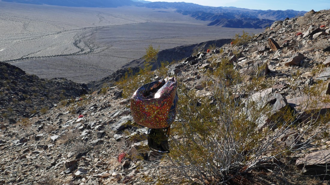
A baloon... normally I would pack it out... but not in these Covid times.
|
The desert floor is getting closer... and I am ready for it.
|
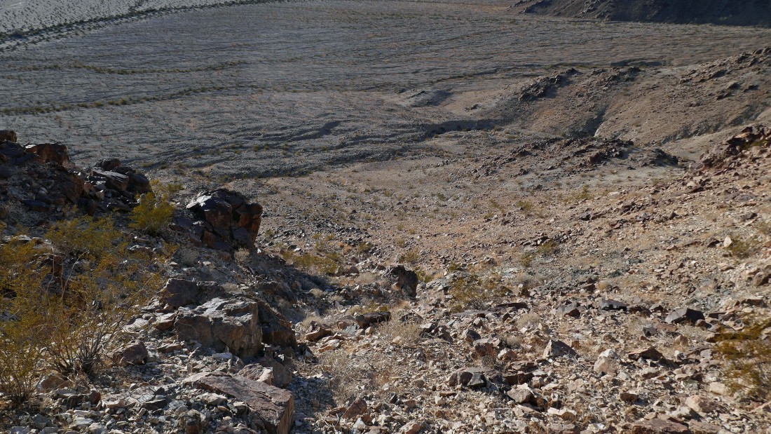
Okay... get down this steep and loose terrain and be done with the tuff stuff.
|

After I have hiked a total of 7 miles I have returned to the desert floor (1800 feet)... it took me 2.5 hours to come down the 2200 feet of elevation from the summit... the route down was roughly a half-mile longer than the route I took up... but still, the route down was kind of time consuming... it's 4:00pm and I need to do the last 2.5 mile desert walk in the next hour to beat the darkness.
|
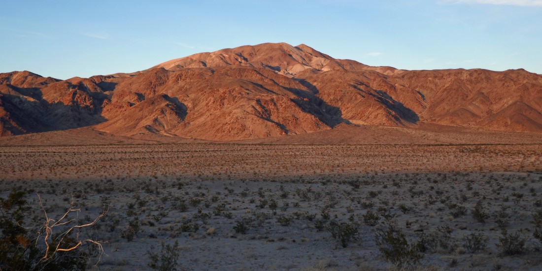
Looking back at Pinto Mountain.
|

Nearing the sand dune.
|
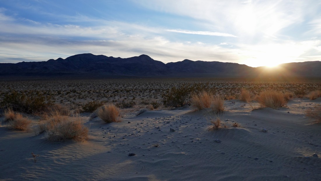
I have reached the sand dune... still one mile from the car as I watch the sun go down.
|
Pinto Mountain from the sand dune as the sun goes down... I will do the last mile to the car in 20 minutes... just beating the darkness... the hike/scramble was a total of 9.6 miles, gaining 2648 feet of elevation.
|
