Valhalla Dome - 1.17.2022
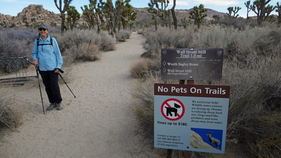
We parked in the unpaved parking lot for the Wall Street Mill Trail... located a quarter mile NE of the paved parking lot for Barker Dam... often times it provides overflow parking for Barker Dam.
|

After hiking a tenth of a mile on the Wall Street Mill Trail we will turn left on an unsigned, but obvious path.
|

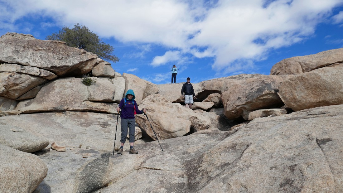
After hiking a total of .2 miles we have arrived at the 'Pink House'... also known as the Worth Bagley Ranch and the Wonderland Ranch... aceman, Denali Girl and Galadriel are posing.
|
We have left the 'Pink House' and are entering the Wonderland of Rocks.
|

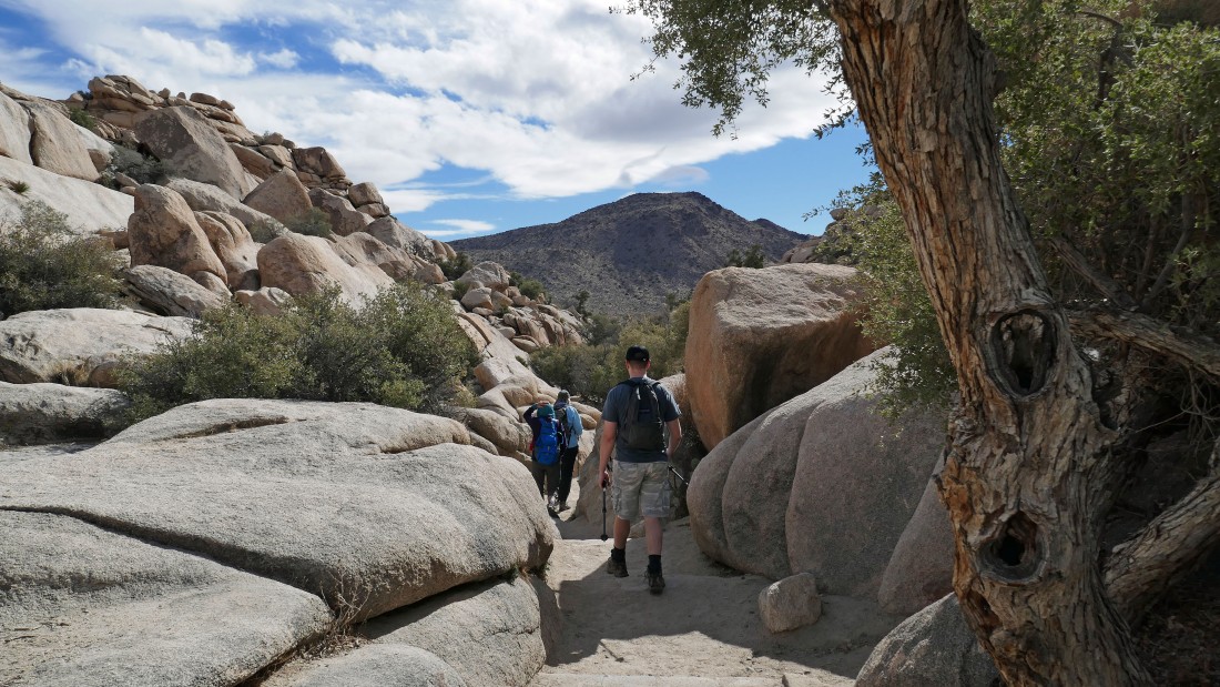
Hiking north in the Wonderland of Rocks.
|
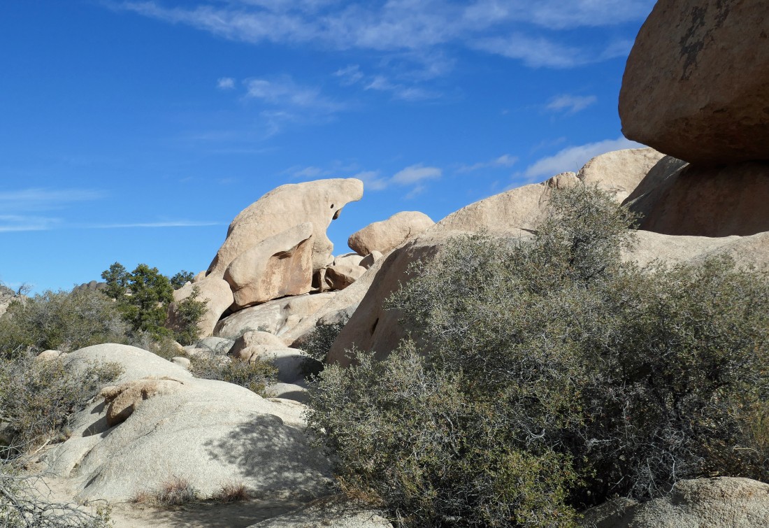
Continuing to hike north and passing by 'The Shark' in the Wonderland of Rocks.
|
The South Astro Dome (big) and the North Astro Dome (just to the right of the south dome).
|
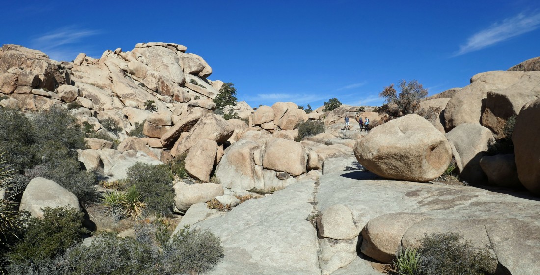
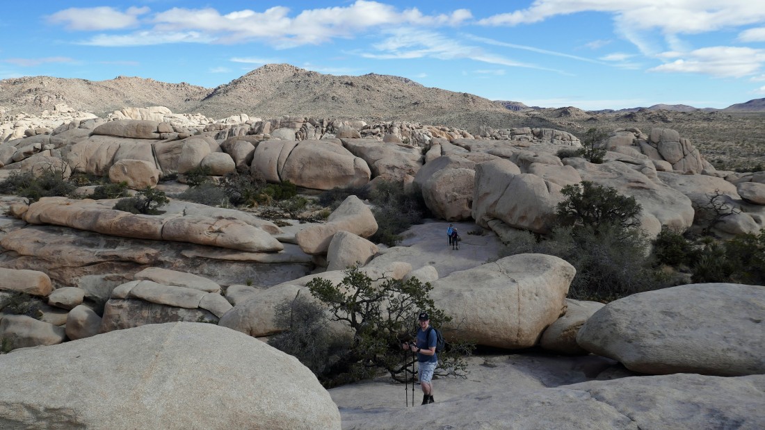
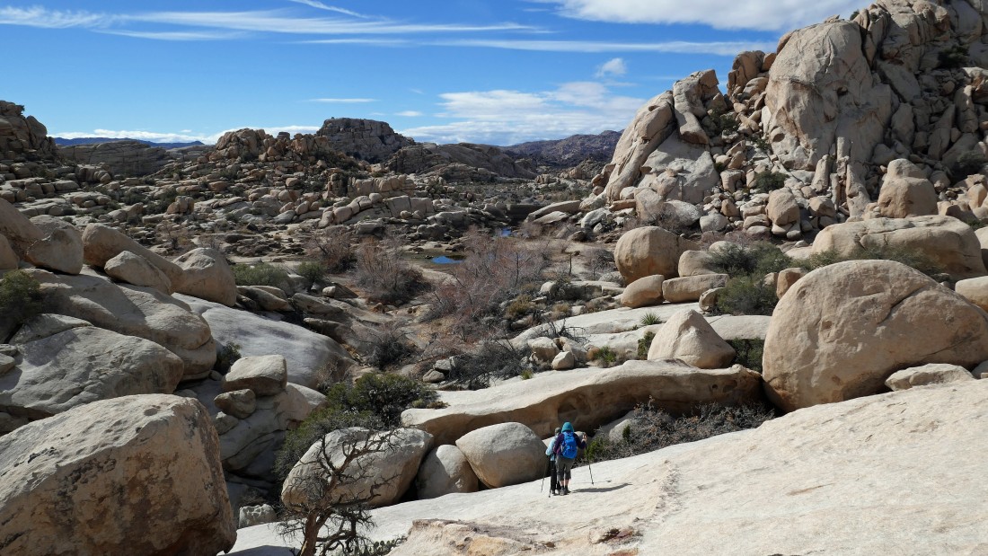
After hiking for a total of .9 miles it is time to change our hiking direction from north to south... leaving the floor of the Wonderland Wash and starting to scramble up some rocks... we are going to work our way over to the base of the huge rock formation on the far right.
|
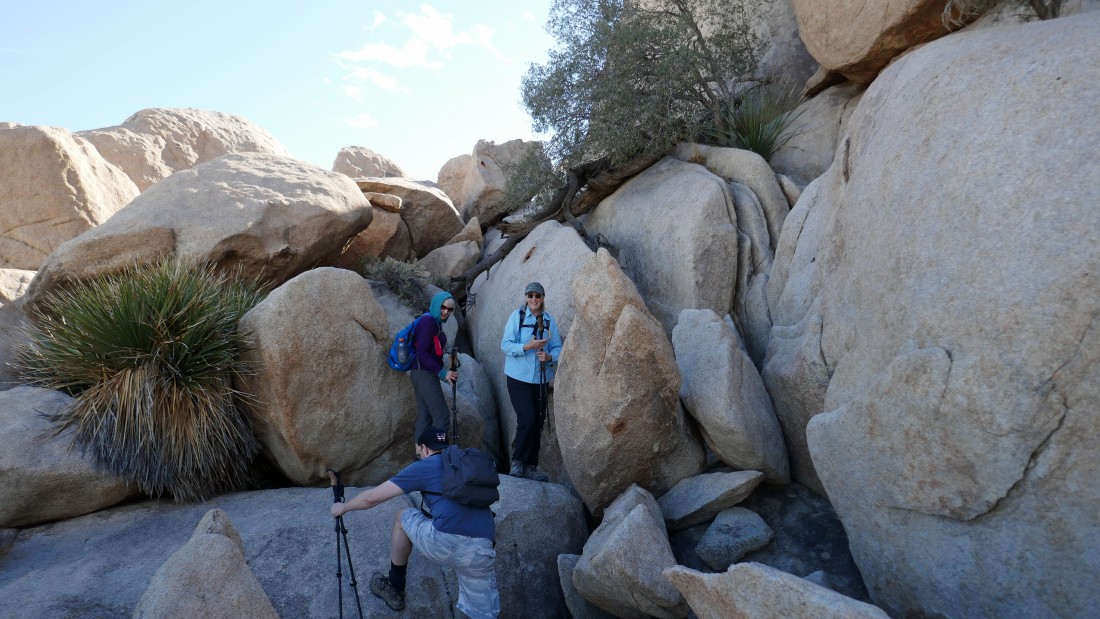
aceman and Galadriel think that Denali Girl might be losing it a bit when she points out the route at the base of the huge rock formation from the previous photo.
|
Working Denali Girl's route.
|
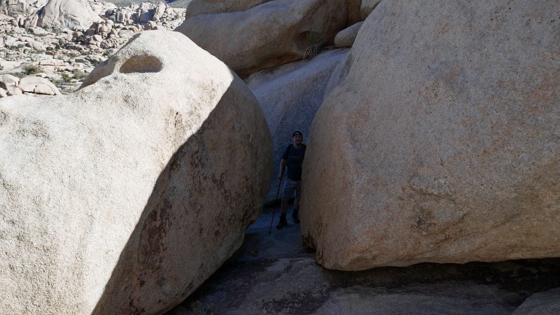
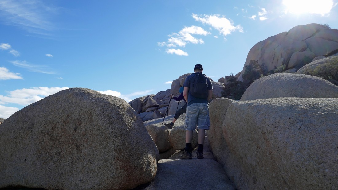
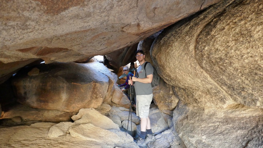
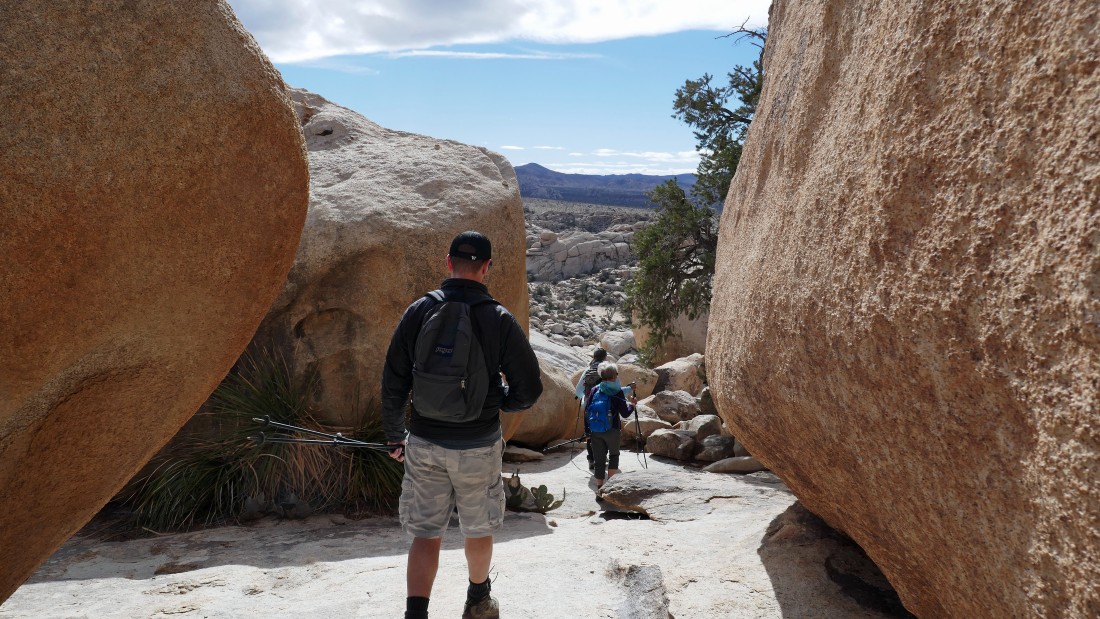
aceman coming up through one of the many cooridors in the rock.
|
After hiking a total of one mile we have reached what we call 'Rattlesnake Gap'... and yes, a couple of years ago we did meet a rattlesnake here... in the photo we are looking back to the north into the 'Wonderland of Rocks'... with 'The Camel' on the horizon in the left center of the photo.
|
Standing at Rattlesnake Gap and looking south at the approximate route that will get us up to Valhalla Dome... and when I say 'approximate', I want to emphasize the word 'approximate'.
|
I'm looking back toward Rattlesnake Gap as I watch the gang working their way over to me.
|

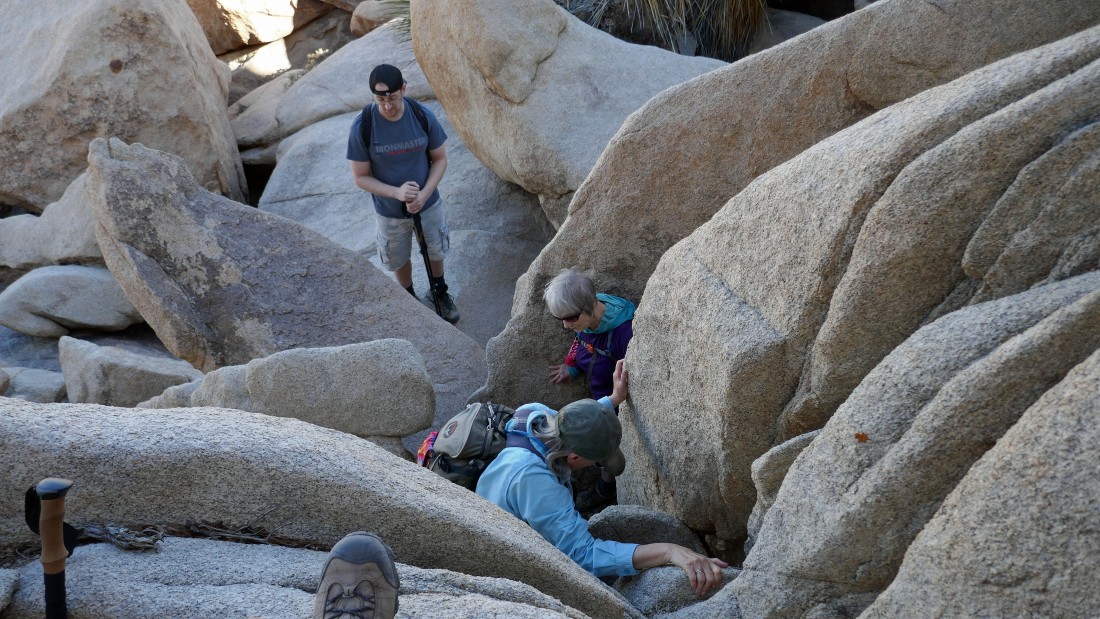
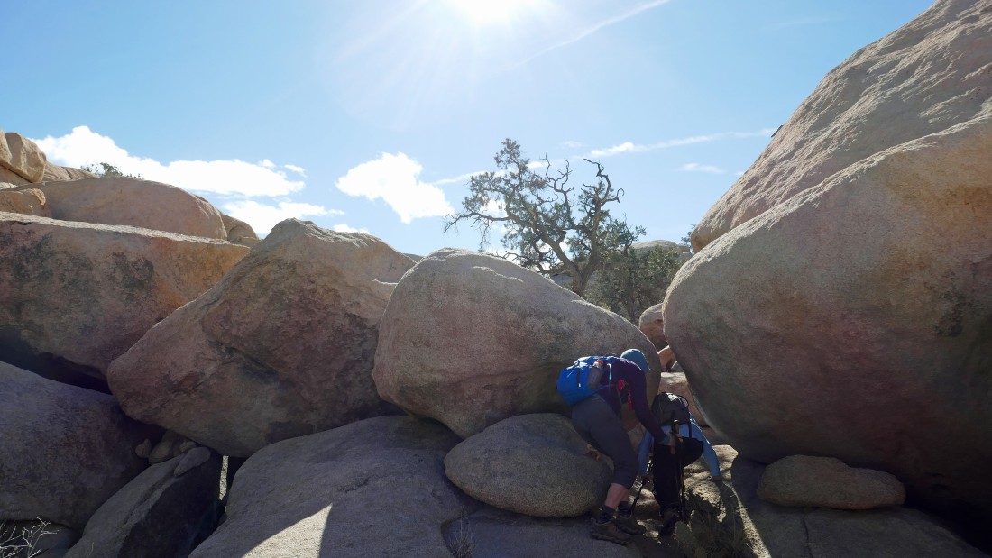
Continuing south... searching for a tunnel.
|
Denali Girl leads us into the tunnel.
|
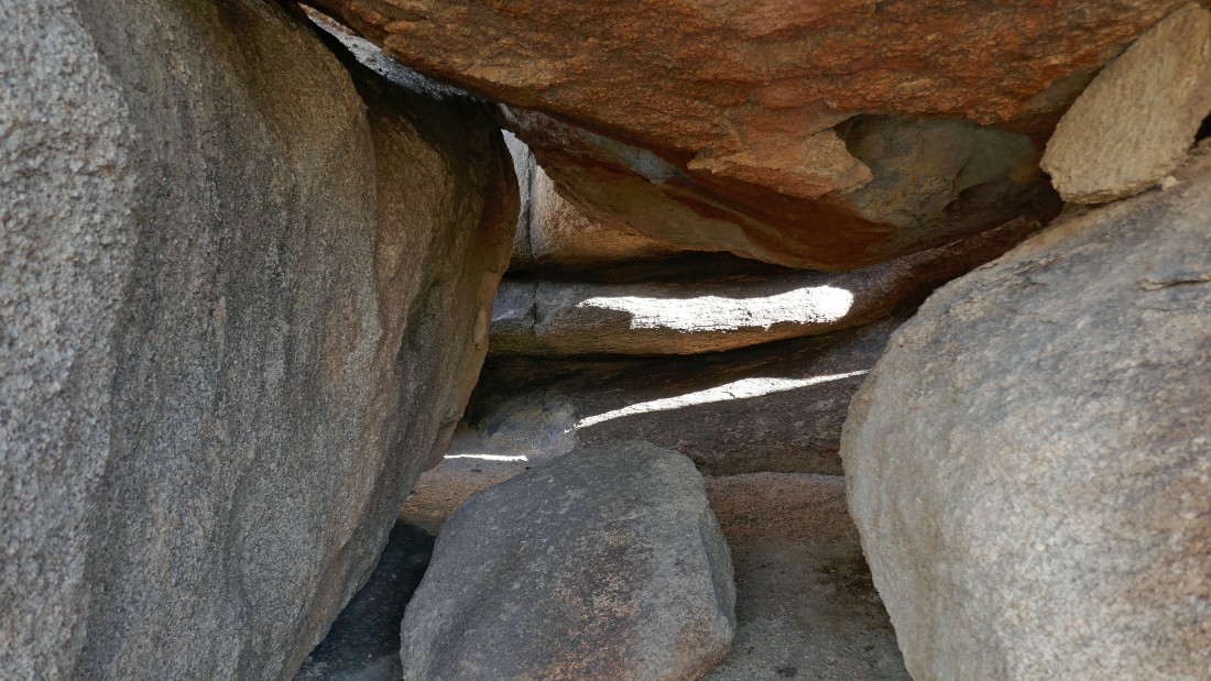
In the tunnel... looking for the other end of the tunnel.
|
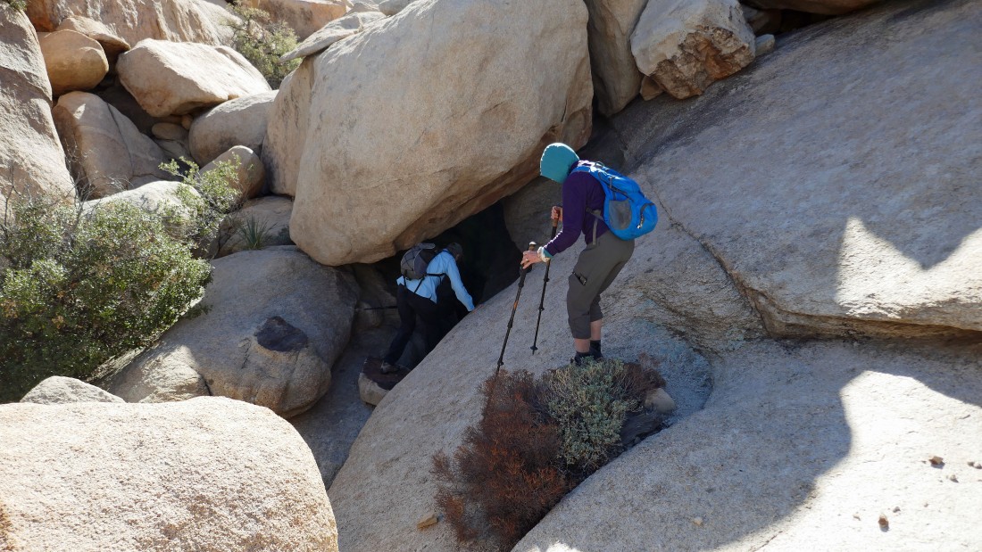
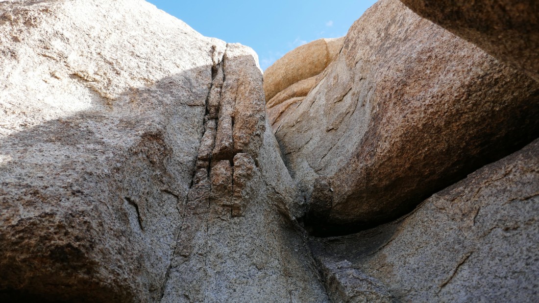
Out of the tunnel and continuing south... now looking for the chute that will help us gain a little elevation.
|
Looking for that chute.
|
Voila... the chute is ready for us.
|

After hiking a total of 1.2 miles Denali Girl and Galadriel are coming up the chute.
|
The gang is already on much easier terrain and working their way up to me... with Queen Mountain on the horizon.
|
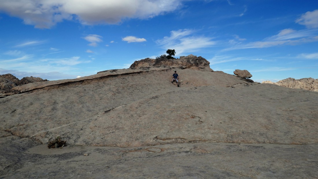
aceman relaxes just below the summit of Valhalla Dome.
|
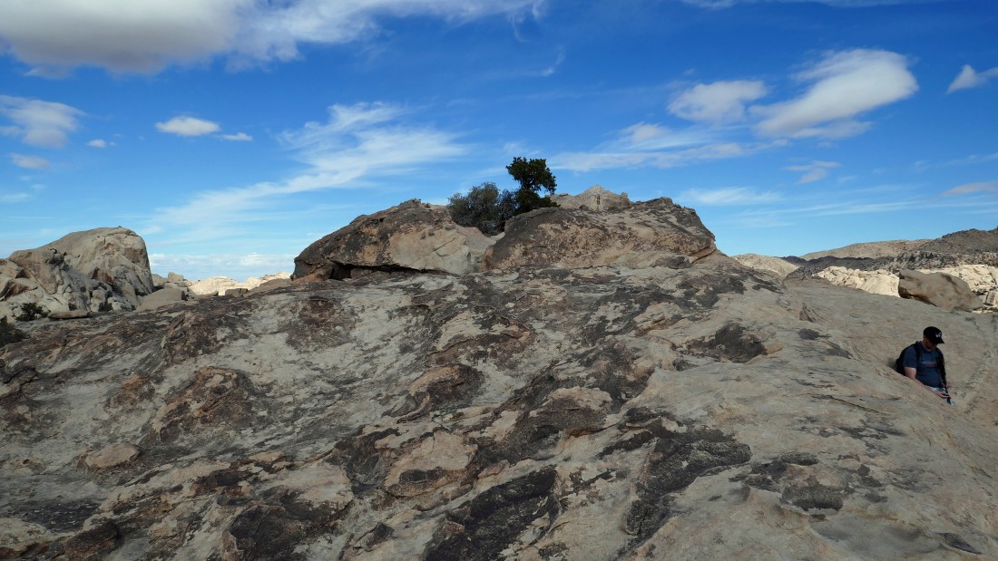
Incredible erosion just below the Valhalla Dome summit... with the South Astro Dome in the distance on the far left.
|
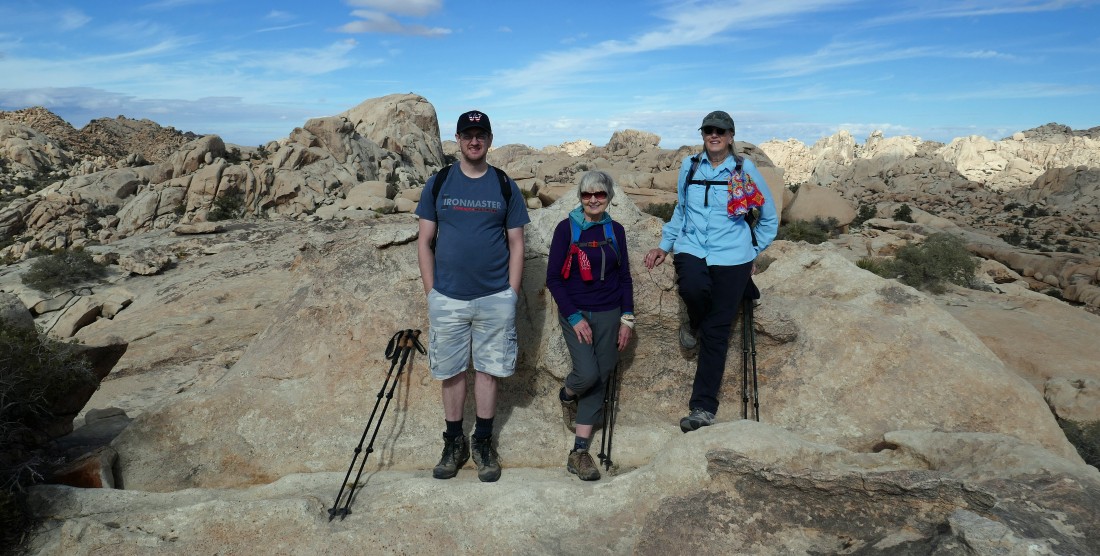
After hiking a total of 1.4 miles we have reached the summit (4501') of Valhalla Dome.
|
|
From the Valhalla Dome summit... looking south to Ryan Mountain (5456 feet) and SW to Quail Mountain... with Quail Mountain (5816 feet) being the high point in Joshua Tree National Park.
|
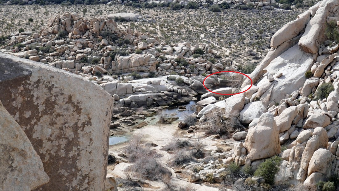
aceman and Denali Girl on the Valhalla Dome summit... with the red line showing our approximate route through the tunnel and up the chute that helped us get over here... looking NE at the huge Queen Mountain (5680 feet).
|
From the Valhalla Dome summit... looking SW to Quail Mountain and north to the South Astro Dome.
|
We have left the Valhalla Dome summit and going to work our way down to the Barker Dam area.
|
Looking down on Barker Dam.
|
Heading down toward Barker Lake.
|
There is definitely some steep terrain from the summit of Valhalla Dome that leads down to Barker Lake.
|
Almost down to Barker Lake and Barker Dam.
|
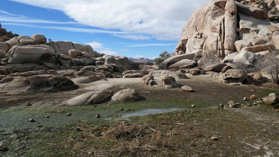
After hiking a total of 1.8 miles we have found flat ground at Barker Lake... Barker Dam is out there in the center of the photo.
|
On the Barker Dam Trail now... very easy to count 80 to a 100 people between Barker Dam and the Barker Dam parking area... the total hike/scramble was 2.5 miles, gaining 295 feet of elevation.
|
