Tanzbodeli - 1.31.2022

We parked at the unsigned trailhead for Queen Mountain in Joshua Tree National Park... located at the end of a dirt road in Queen Valley.
|
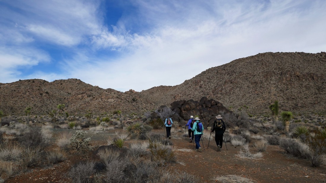
After hiking a total of a half-mile we turned left at a huge pile of black rocks... leaving the main trail and following a good path... heading for the low point on the ridge above.
|
After hiking a total of three-quarters of a mile we have left the desert floor and started to gain elevation that will take us up to the low point on the ridge.
|
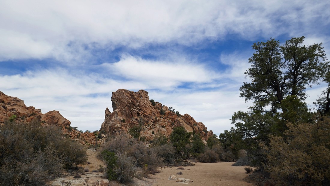
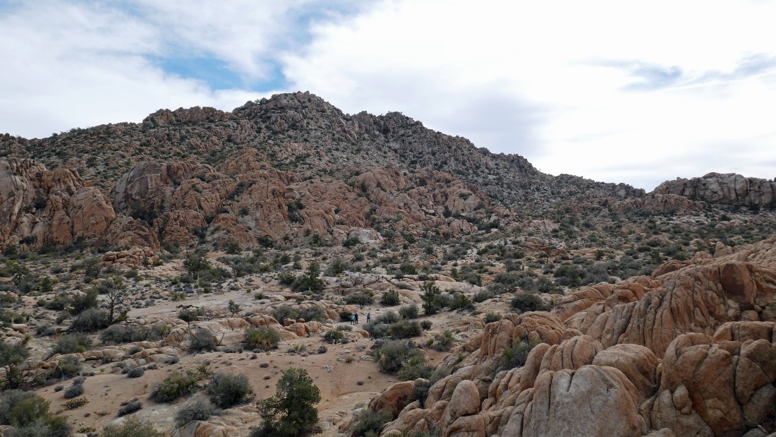
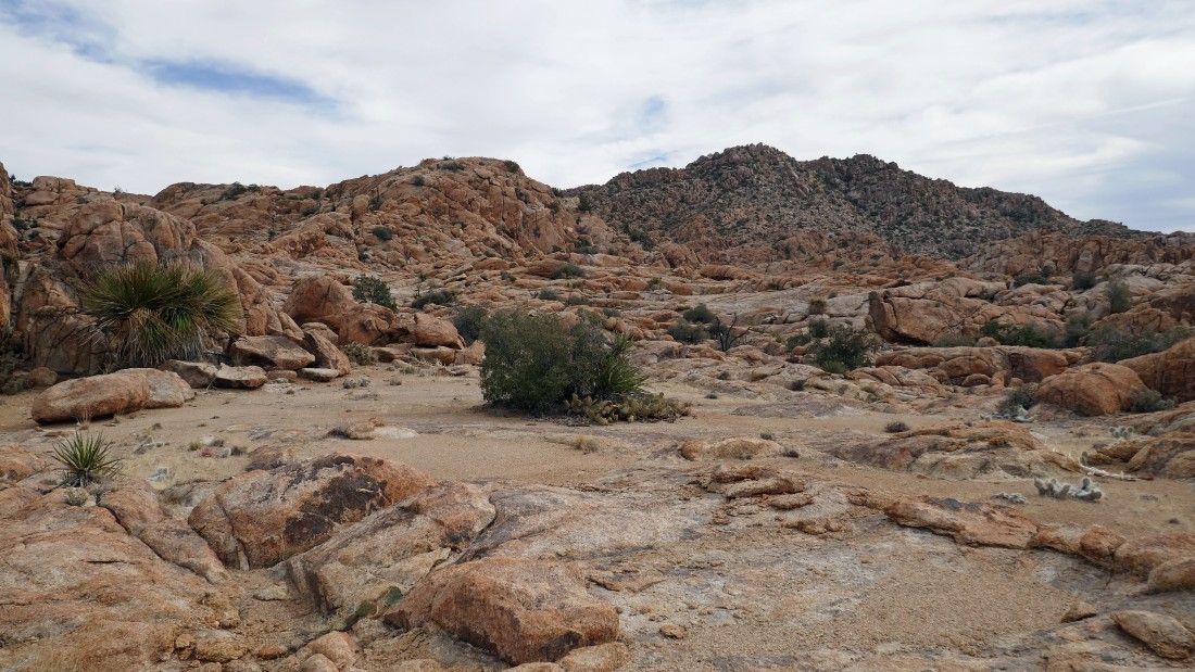
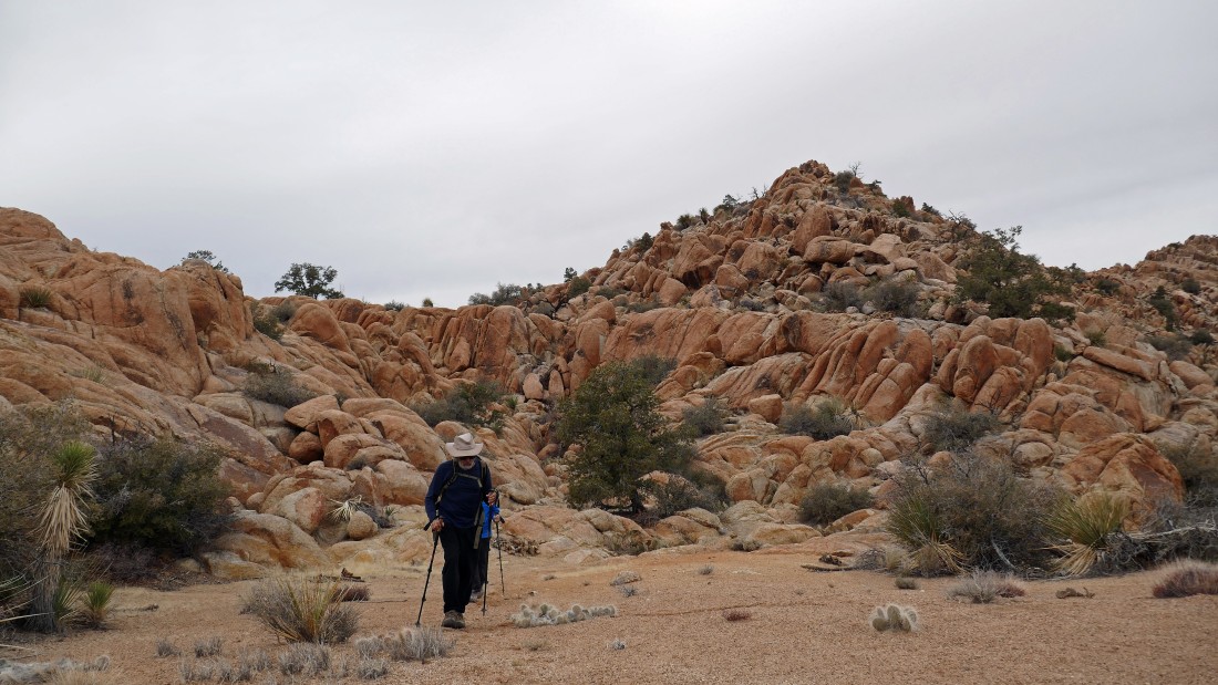
After hiking a total of one mile we have reached the low point on the ridge that we could see from the parking lot... amazing rock formations all around us... Denali Girl, Ranger Steve, Bear Belle and Star Dancer have joined me on this hike... we will head for the low point in the rocks that are located in the distance above Ranger Steve's head.
|
I'm almost at the low point in the rocks from the previous photo... watching the gang working their way up to join me.
|

Almost up to the pass mentioned two photos ago.
|
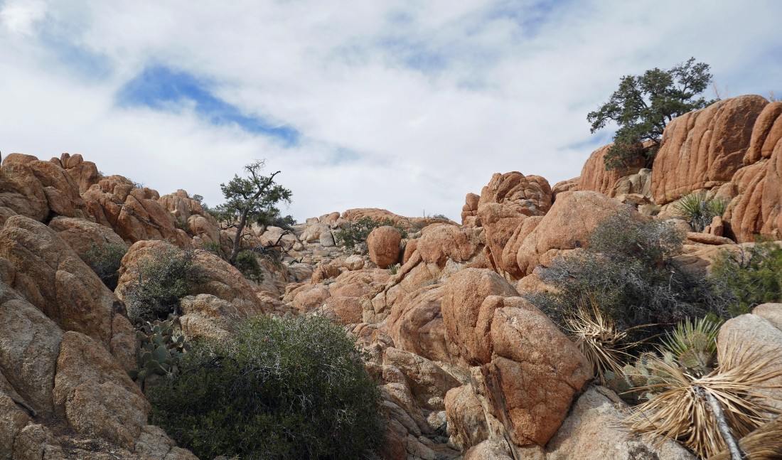
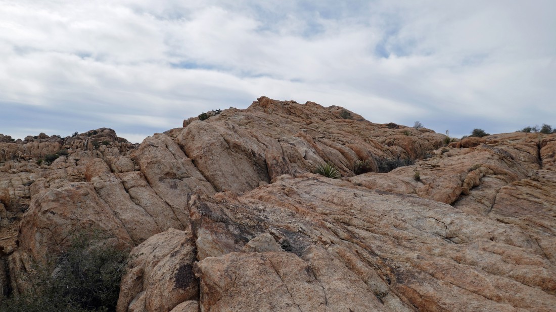
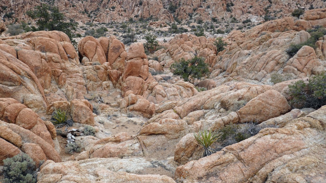
More amazing rock formations in every direction... taken from the little pass in the previous photo.
|
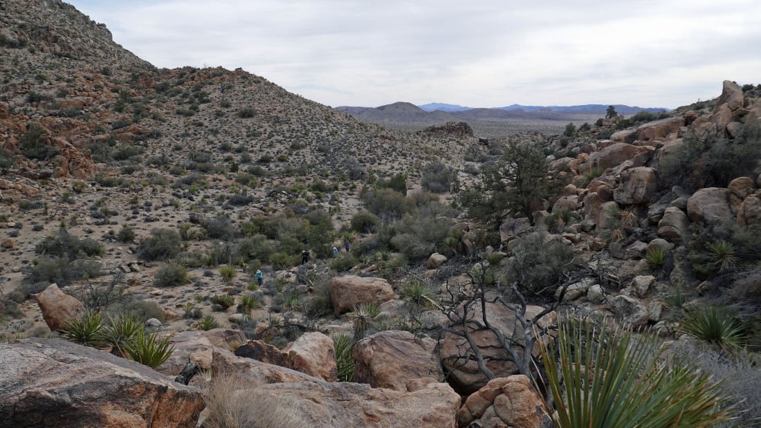
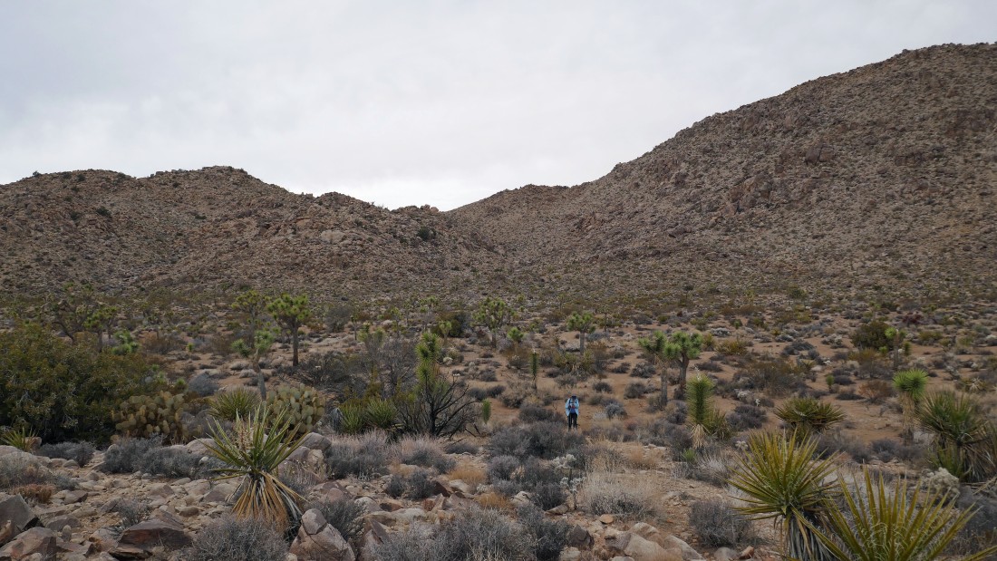
Hiking north in a huge wash.
|
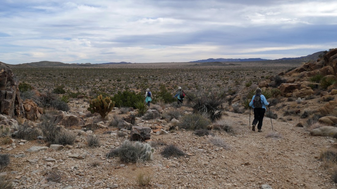
Still hiking north in a large wash.
|
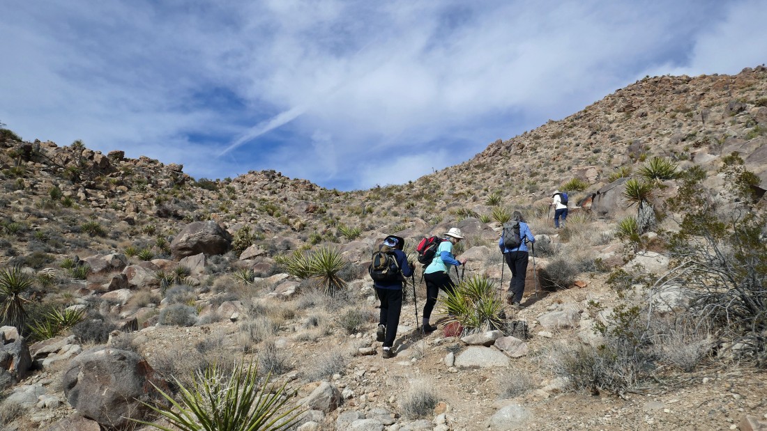
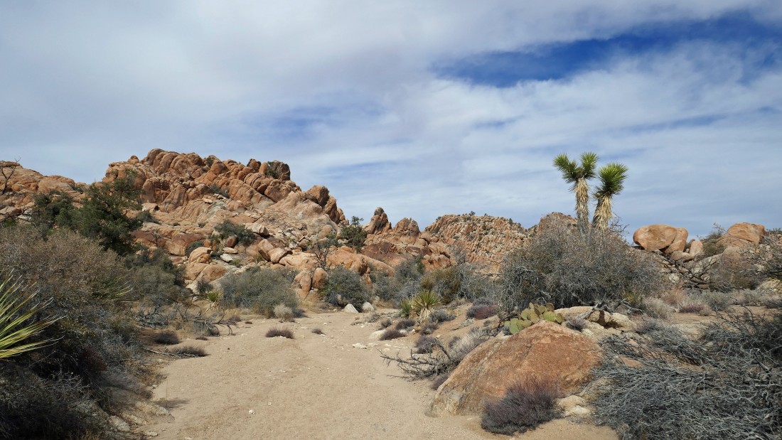
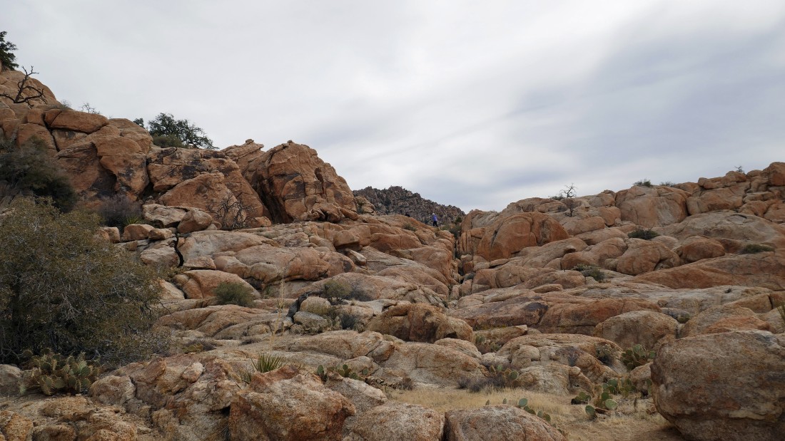
After hiking a total of 2.1 miles, it is time to leave the wash and do a little scrambling.
|
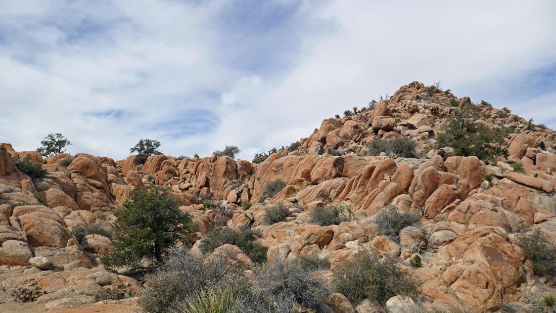
Scrambling NW up some beautiful orange rocks.
|
After gaining less than 60 feet of elevation from the wash I am high enough to see the Tanzbodeli Highway on the right side of the photo... and on the horizon in the center of the photo I can see the snow covered San Gorgonio Mountain.
|
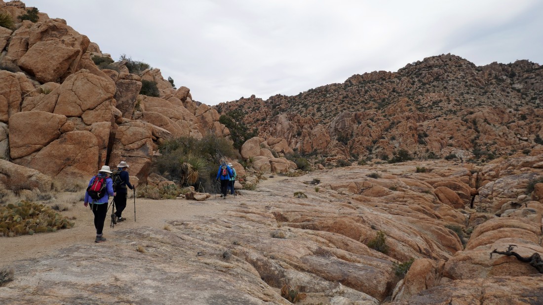
Here comes the gang... getting ready to leave the wash and start scrambling up to join me.
|
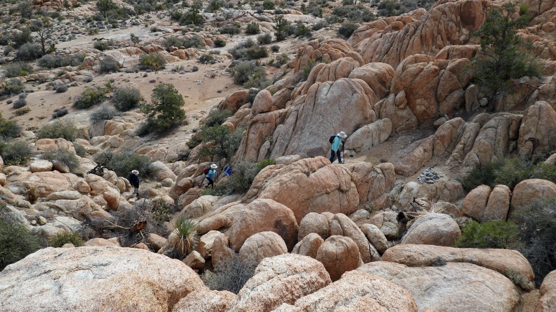
Watching the gang leaving the wash and scrambling up to join me.
|
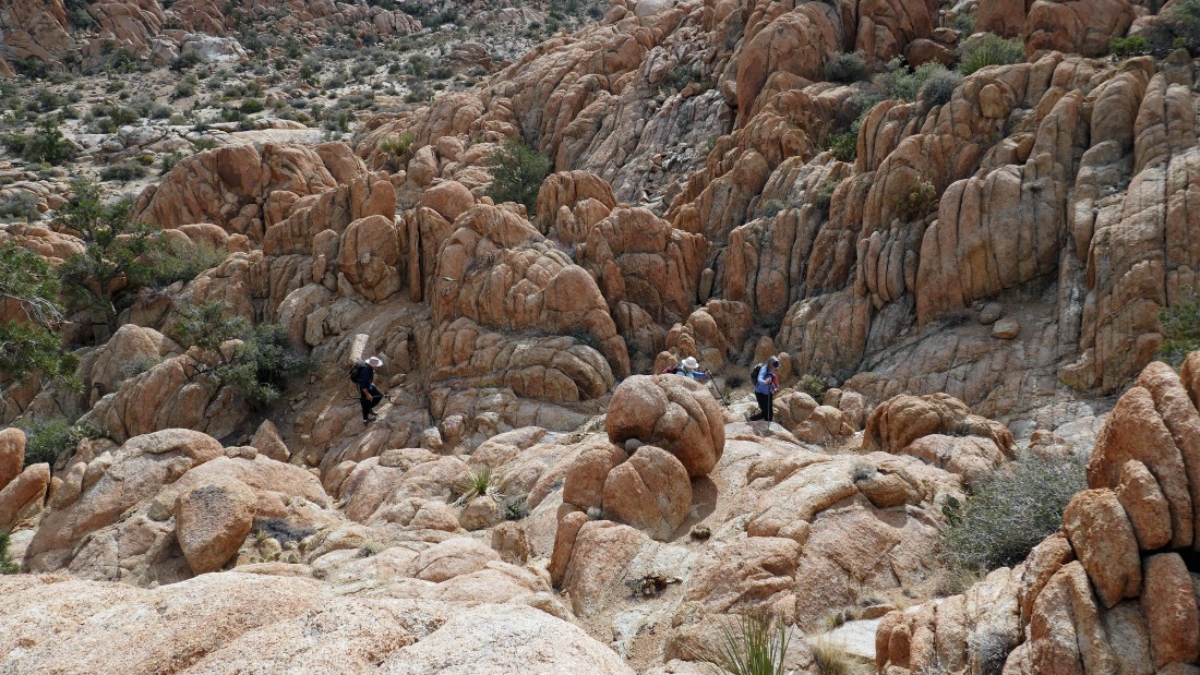
Here comes the gang.
|
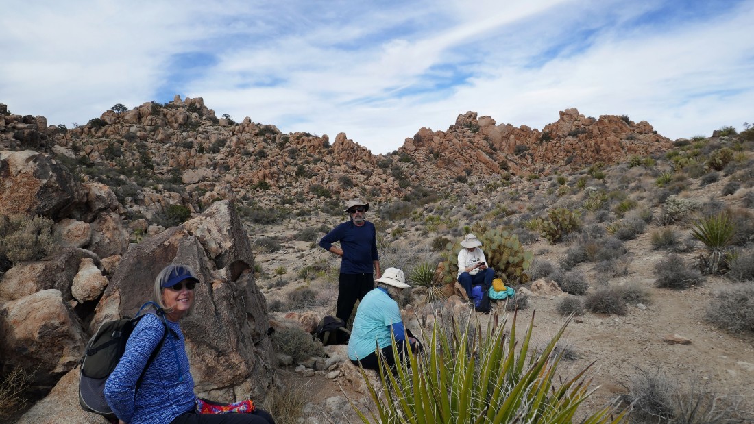
The scramble is over... but incredible views await.
|
Tanzbodeli... with the San Bernardino Mountains on the horizon.
|

I have left the gang back there in the center of the photo... and I'm heading out to the high point in Tanzbodeli so that I can get a good look at the entire area.
|
Nearing the high point in Tanzbodeli.
|
After hiking a total of 2.5 miles I have reached the high point (4862') of Tanzbodeli... looking north (right) out to Yucca Valley on the horizon... looking west (left) to part of the Little San Bernardino Mountains... looking NW (center) to the dark colored San Bernardino Mountains.
|
|
From the high point (4862') of Tanzbodeli... looking east toward the summit of Queen Mountain... I will need to hike a third of a mile to get back over there and rejoin the gang.
|
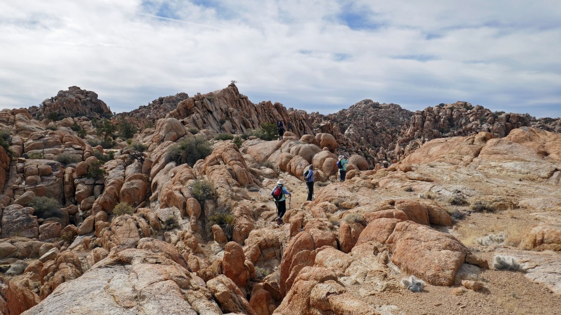
Hiking across the 'Little Dance Floor' in Tanzbodeli.
|
On my way back to rejoin the gang... taking in the full view of Tanzbodeli.
|
Almost back to the other folks.
|
Back on the Tanzbodeli Highway... searching for the little scramble that will get us back down in the wash.
|
The route back down to the wash.
|
Looking back toward the eastern end of the Tanzbodeli area as we rejoin the wash... we will basically trace our steps back to the car.
|
After hiking a total of 4.25 miles we have returned to where we can look down on Queen Valley where we parked earlier in the day.
|
Looking back at the low point on the ridge that we visited at the beginning of our hike.
|
We can see the parking lot... the total hike was 5.4 miles, gaining 701 feet of elevation.
|
