Randolph Ranch - 2.4.2022
|
We parked at the Hidden Valley Picnic Area in Joshua Tree National Park.
|
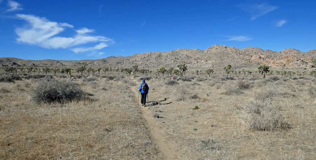
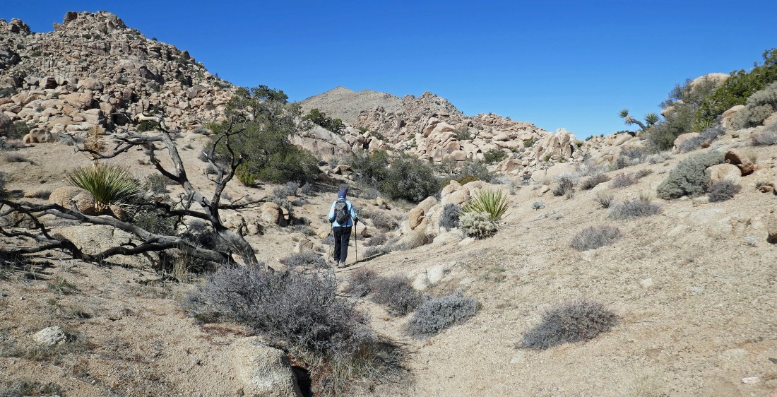
Instead of hiking into Hidden Valley we started hiking SE in Lost Horse Valley... in search of the Randolph Ranch.
|
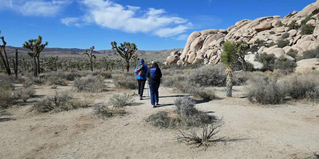
Nearing the Randolph Ranch... today we will end up circumnavigating the massive rock formations that are in the center-to-right foreground.
|
After hiking a total of 1.5 miles we have reached the Randolph Ranch homestead... which was grandfathered into the park in 1994 when JTNP became an official national park.
|
Hiking west as we pass by the Randolph Ranch... there are two structures on the homestead... separated by an eighth of a mile.
|
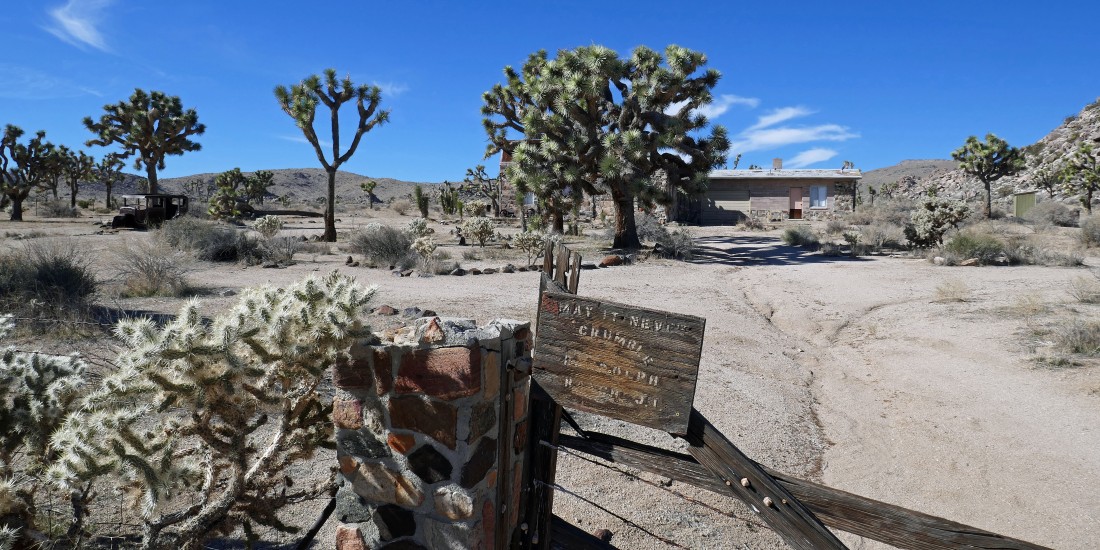
The second structure at the Randolph Ranch.
|
Looking back at the Randolph Ranch... with Ryan Mountain on the horizon beyond Lost Horse Valley.
|
Continuing to hike west beyond the Randolph Ranch... with Mount Miverva Hoyt on the horizon above Denali Girl's head... Lang Mine Peak is also on the horizon... sneaking into the photo on the extreme far right.
|
Continuing to hike west beyond the Randolph Ranch... looking up at 'Flatbush (aka Point 5049)'... which Denali Girl and I climbed last year.
|
Continuing to hike west beyond the Randolph Ranch... with Mount Minerva Hoyt on the horizon to the left of the joshua tree... with Lang Mine Peak on the horizon to the right of the joshua tree.
|
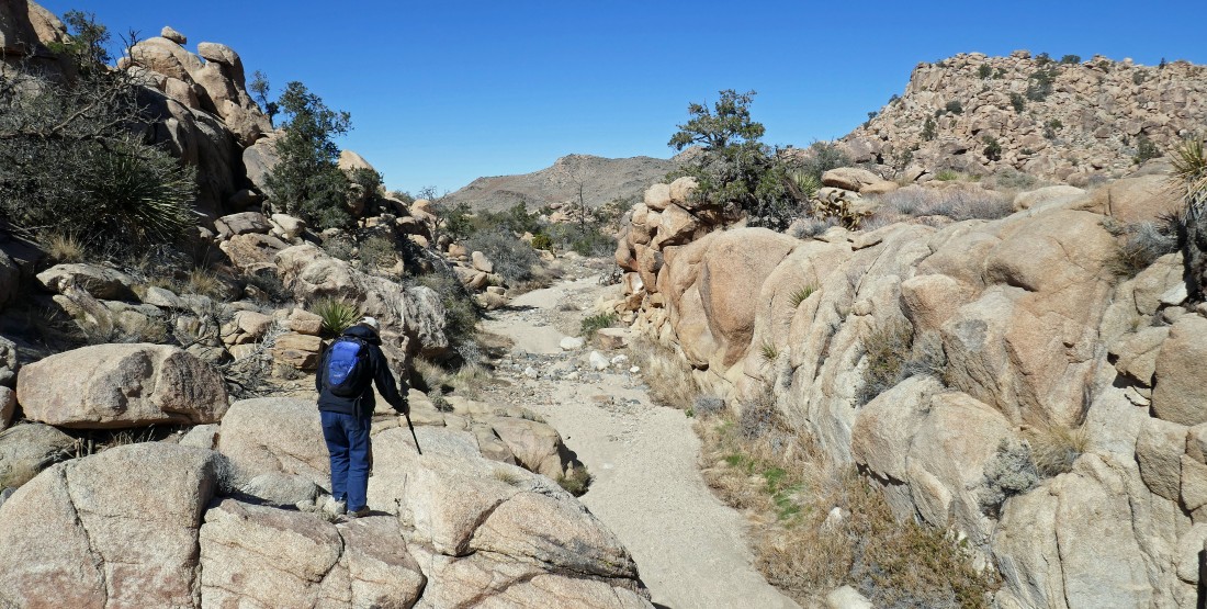
After hiking a total of 2.7 miles we are entering the southern portion of Johnny Lang Canyon.
|
I'm looking back at Star Dancer and Denali Girl as we now are hiking north in Johnny Lang Canyon.... with Ryan Mountain on the horizon in the center of the photo.
|
Continuing to hike north in Johnny Lang Canyon... with Lang Mine Peak on the horizon in the center of the photo.
|
Continuing to hike north in Johnny Lang Canyon... here looking up at 'Flatbush' on the right horizon... with Point 5088 on the left horizon.
|
Now hiking NW in Johnny Lang Canyon... with Point 5088 in the distance on the right.
|
Continuing to hike NW in Johnny Lang Canyon.
|
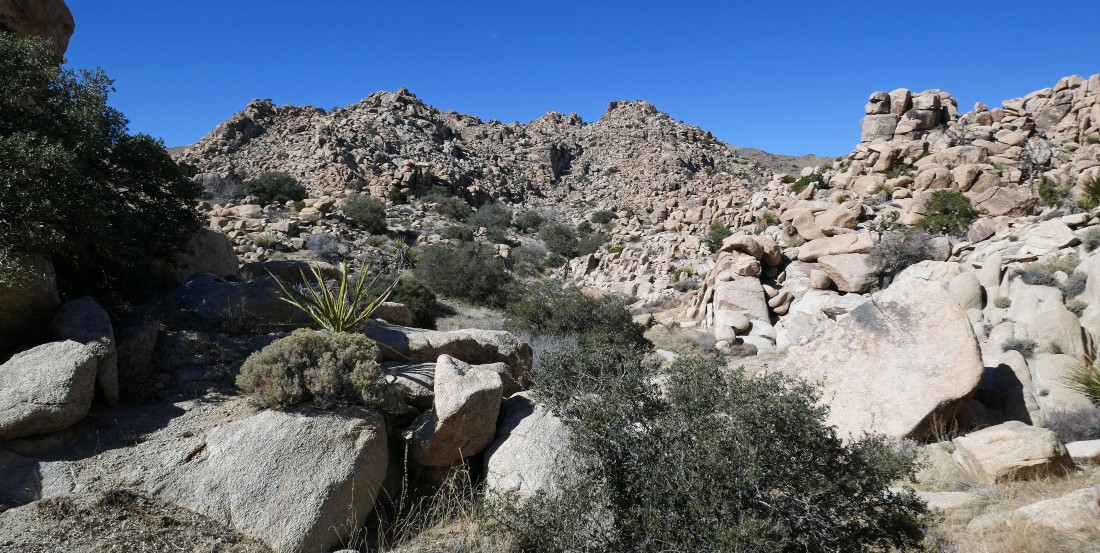
Beautiful rock formations in Johnny Lang Canyon... or should it be called Johnny Lang Wash.
|
Continuing to hike NW in Johnny Lang Canyon... we can actually see what looks like a trail crossing the hill out there in the center of the photo.
|

After hiking a total of 4.4 miles we have reached this sign which kind of warns hikers to be cautious if they choose to continue hiking in the area we just came from... and this is the place where we joined the Johnny Lang Connector Trail which originates at Quail Springs.
|
On the Johnny Lang Connector Trail now... here looking back at our route through Johnny Lang Canyon... with Lang Mine Peak on the far right horizon.
|
|
Gaining a little elevation on the Johnny Lang Connector Trail.
|
Now hiking NE on the Johnny Lang Connector Trail... as we head for Quail Wash... with part of the 'Wonderland of Rocks' on the horizon.
|
Lots of barrel cacti kept us company on this hike.
|
Hiking east on the Johnny Lang Connector Trail... with the desert floor waiting for us in Quail Wash in the distance.
|
After hiking a total of 5.9 miles we have returned to the desert floor... now hiking SE in Quail Wash... heading for Hemingway and Hidden Valley... with Ryan Mountain on the horizon.
|
|
Continuing to hike SE in Quail Wash... with Hemingway on the left... looking through the gap in the center of the photo that crosses Hidden Valley and gives a view of Ryan Mountain on the horizon.
|
Hiking SE in Quail Wash... here looking west over at the massive rock formations that we are circumnavigating.
|
Let your imagination run wild!
|
Almost back to the Hidden Valley Picnic Area where we started earlier in the day.... with Ryan Mountain on the horizon.
|
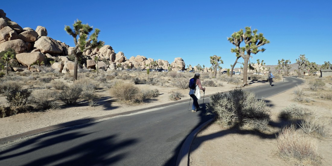
We have returned to the Hidden Valley Picnic Area... the loop hike was a total of 9 miles, gaining 824 feet of elevation.
|
