Queen Mountain - 2.8.2022
|
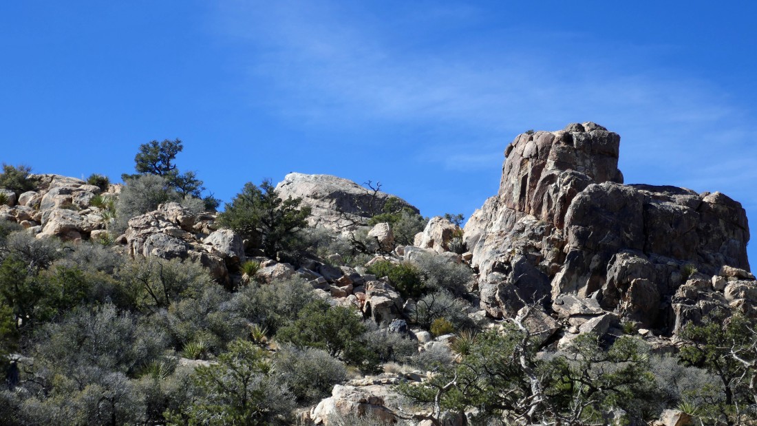
We parked at the unsigned trailhead for Queen Mountain in Joshua Tree National Park... located at the end of a dirt road in Queen Valley. The red line shows our approximate route that got us up to a rib on Queen.
|
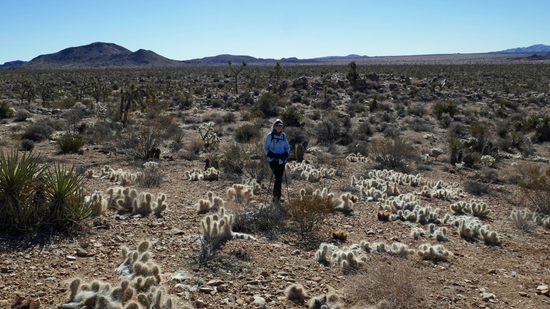
Denali Girl poses in a field of hairy Pricklypear cacti... most of the pricklypear cacti are not hairy... with Negro Hill in the distance on the far left.
|
Hiking cross-country from the parking area... working our way through a kind of berm in the foreground... that will eventually get us over to the base of Queen Mountain.
|
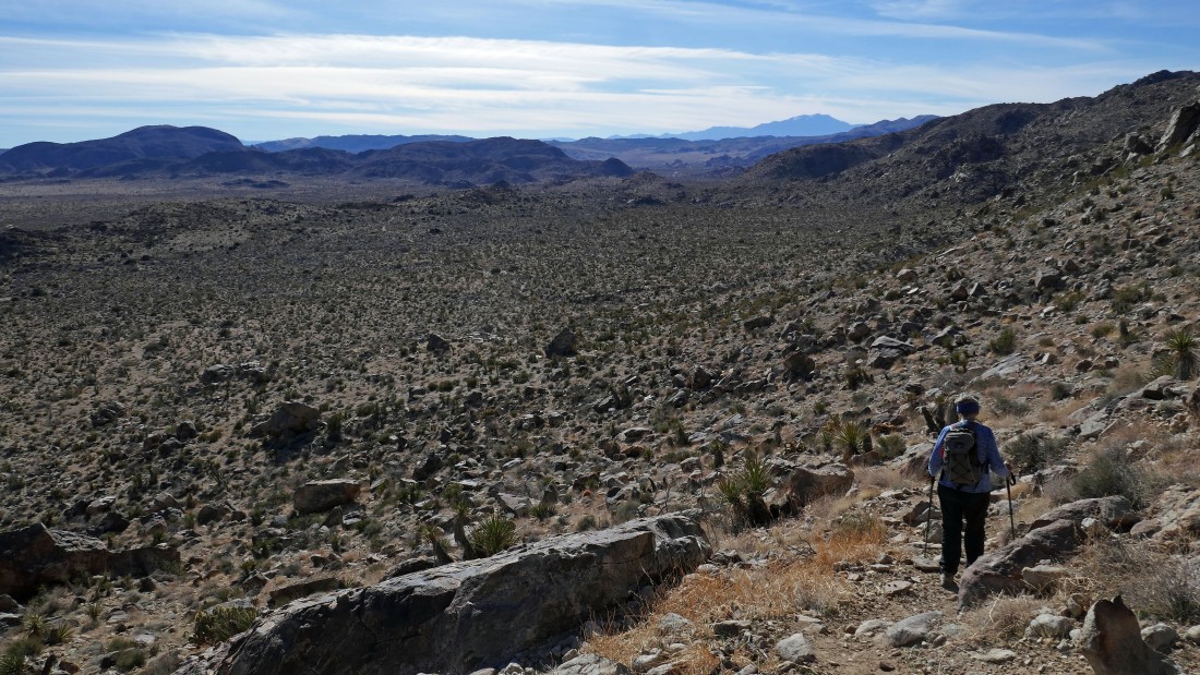
Still hiking cross country... heading for a pretty good path that will get us up to a rib on Queen Mountain.
|
After hiking a total of one mile we have reached the path that will get us up to the summit of Queen Mountain... here looking back at Ryan Mountain on the left... and a snow covered San Jacinto Mountain on the right horizon.
|
|
Denali Girl leads the way up the good path that we found.
|
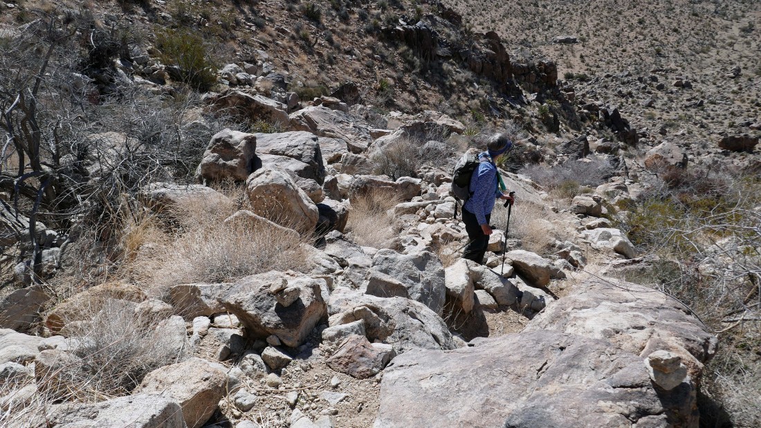
Yes... the path got very steep after we found it... here looking down to the desert floor.
|
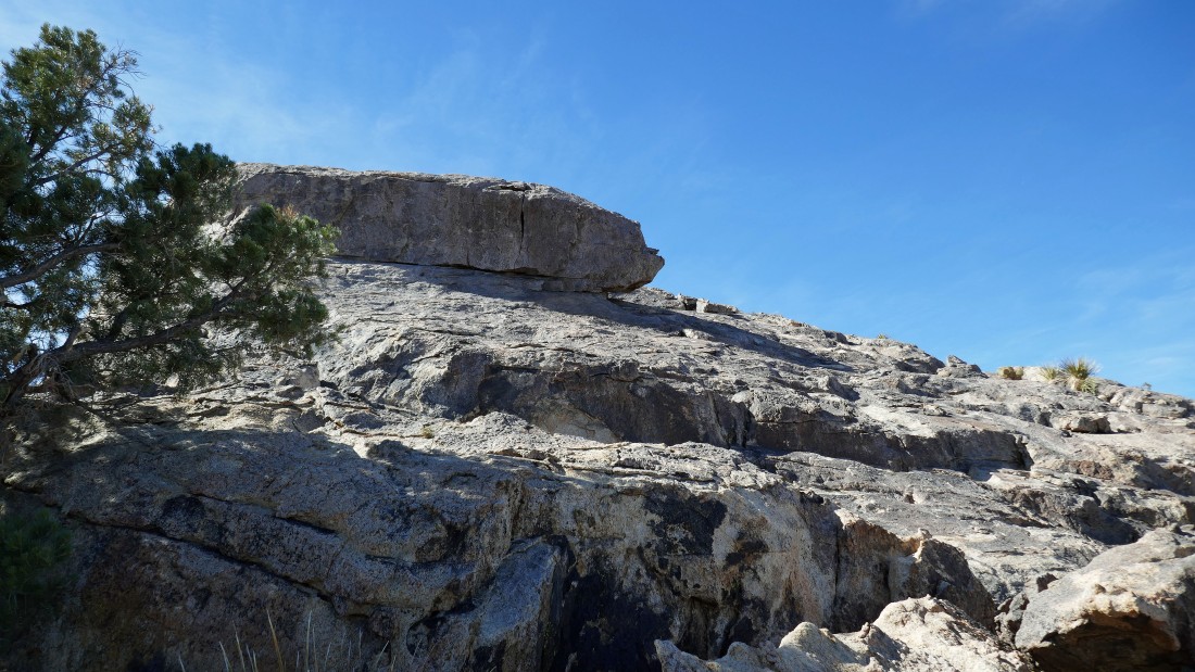
The path will lead us up to our first rib encounter on the far right.
|

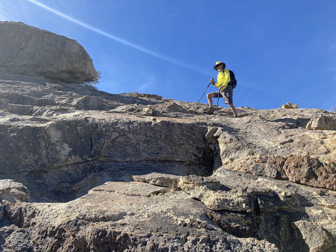
I'm standing on the first rib... watching Denali Girl work her way up to join me... every step gives us broader views.
|
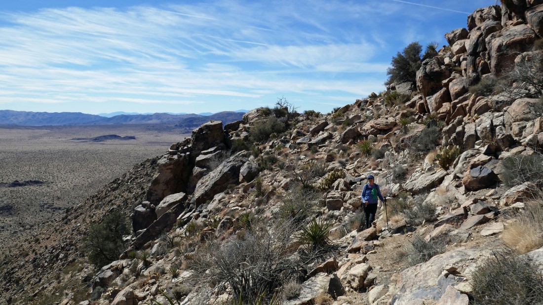
From the first rib we can see the path that will take us over to the second rib.
|
|
Denali Girl took this photo of me on the first rib as I take in the awesome views.
|
Denali Girl has left the first rib and coming over to join me as we head for the second rib.
|
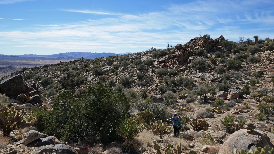
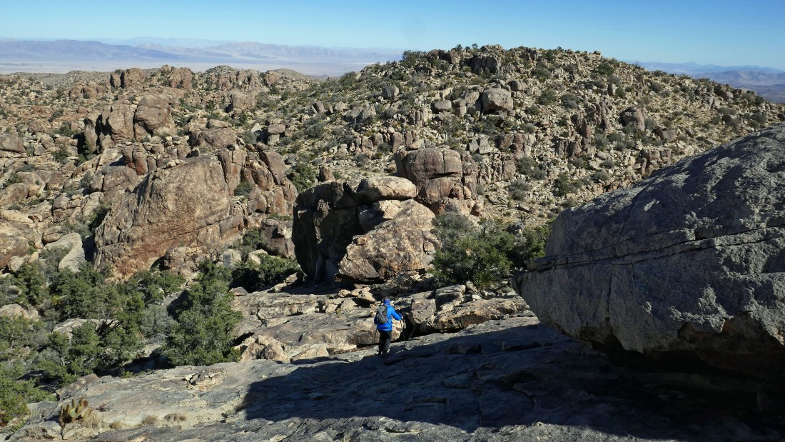
Now on the second rib... will have to give up minimal elevation before heading up to the little valley that separates the queen summit from the queen benchmark.
|
Denali Girl leaves the second rib and working her way over to join me before we head up to the little valley that separates the summit and benchmark.
|
Heading up to the little valley that separates the summit and benchmark.
|
|
After hiking a total of 1.7 miles we have reached the little valley that separates the summit from the benchmark.
|
Leaving the little valley and heading for the summit in the middle of the photo... cairns will help us get up there.
|
Getting ready for the final push up to the summit.
|
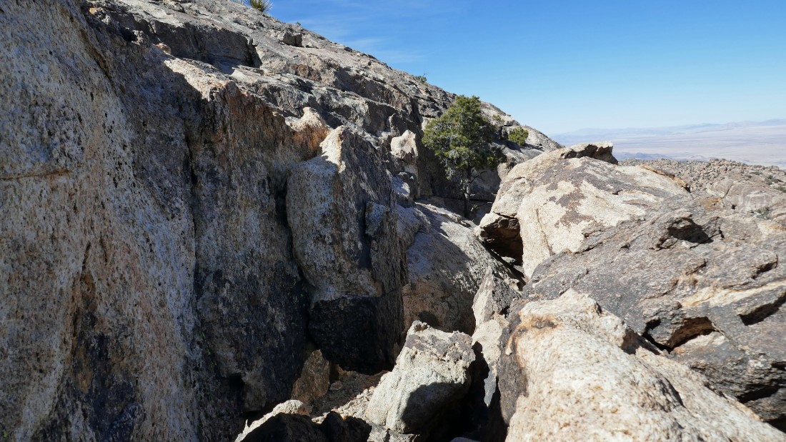
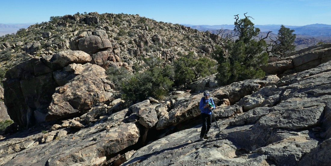
Entering what I call the 'Queen Cooridor'... will follow it over for 30 feet to find the easiest way to continue up to the summit... with Yucca Valley way out there on the horizon.
|
Denali Girl took this photo of me in the 'Queen Cooridor'.
|

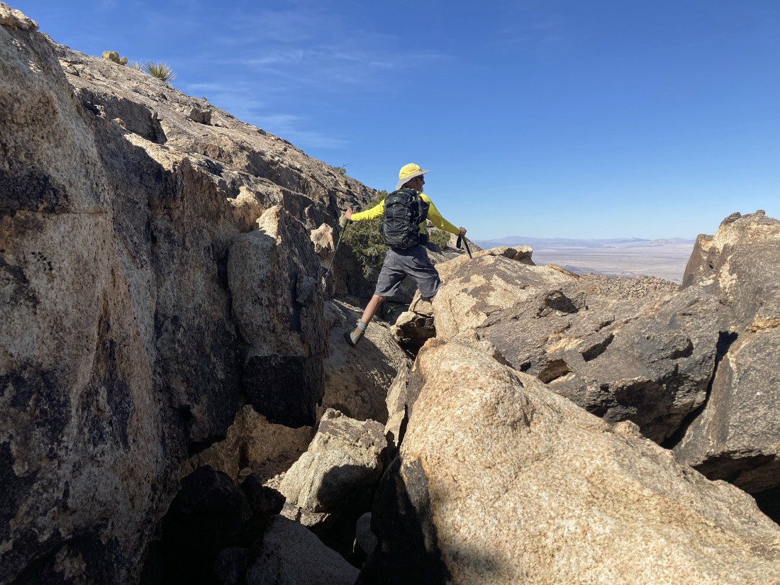
Leaving the 'Queen Cooridor' and starting to do a little scrambling.
|
Denali Girl took this photo of me as I head for the summit.
|

We will continue up to the little tree on the right... for us, the summit would not be accessible from this side.
|
Here comes Denali Girl... at 5677 feet the Queen Mountain Benchmark is over there in the foreground... just a few feet lower than the summit we are getting ready to reach.
|

Now we can see the summit of Queen Mountain... and it will be easy to reach it.
|
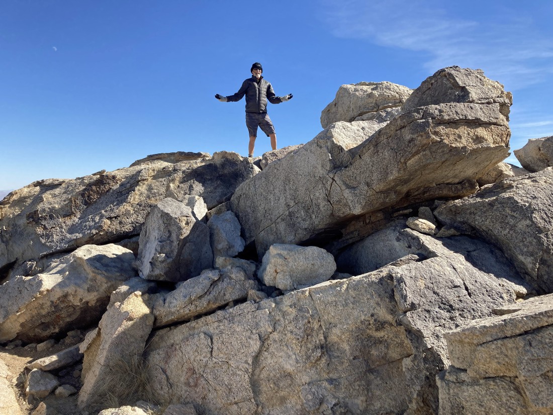
After hiking a total of 1.8 miles I am standing on the summit (5680') of Queen Mountain.
|
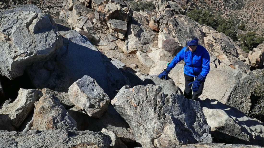
Denali Girl has a few feet of work to do in order to reach the summit.
|
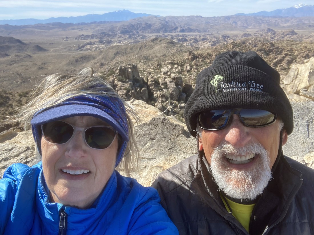
A selfie from the summit of Queen Mountain... with San Jacinto on the horizon in the center of the photo... and a snow covered San Gorgonio on the horizon in the far right of the photo.
|
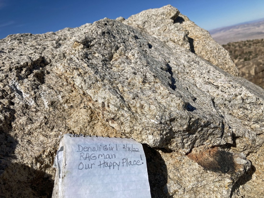
We were here... I guess this makes it official.
|
There were 360 degree views from the summit... this photo and the next 3 photos show the 360 degree views... here looking SW (left) to NW (right).
|
|
Looking north to a very broad Yucca Valley in the distance.
|
Looking north (left) to east (right)... with the Queen Mountain Benchmark in the right foreground.
|
Looking SE (left) to SW (right).
|
This little strip of a photo trys to highlight the 'Wonderland of Rocks'... with the Barker Dam area on the far left... stretching to the Indian Cove area on the far right... Queen Mountain is such a massive area (approximately 16 square miles) that it blocks some of the wonderland in the foreground of the photo.
|
Time to head down from the summit.
|

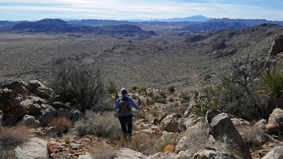
Getting ready to leave the little valley that separates the summit and the benchmark... looking beyond Queen Valley to Ryan Mountain on the far right... with lots of the Little San Bernardino Mountains stretching across the photo.
|
Continuing to trace our steps back to the car on the steep part of the hike.
|
Almost back down on the desert floor.
|
Getting ready to cross through the low point of the berm like rock formation... leaving a half mile of hiking to get back to our car.
|

Nearing the parking area... the total hike was 3.5 miles, gaining 1238 feet of elevation... with 1100 feet of the elevation gain occuring in 8 tenths of a mile... in other words, pretty darn steep.
|
