Manly Beacon - 2.17.2022
|
We parked at the Zabriskie Point Trailhead in Death Valley National Park.
|
After hiking a very short distance on the Zabriskie Point Trail, the trail drops down into Golden Canyon.
|
Losing elevation as we hike down into Golden Canyon.
|
After hiking a total of .5 miles we have reached the Zabriskie Point Junction... and will head toward the Golden Canyon Trailhead... but we will not go all the way to the trailhead.
|
Looking back at the very popular Zabriskie Point... which is probably less than an eighth of a mile from the parking lot.
|
|
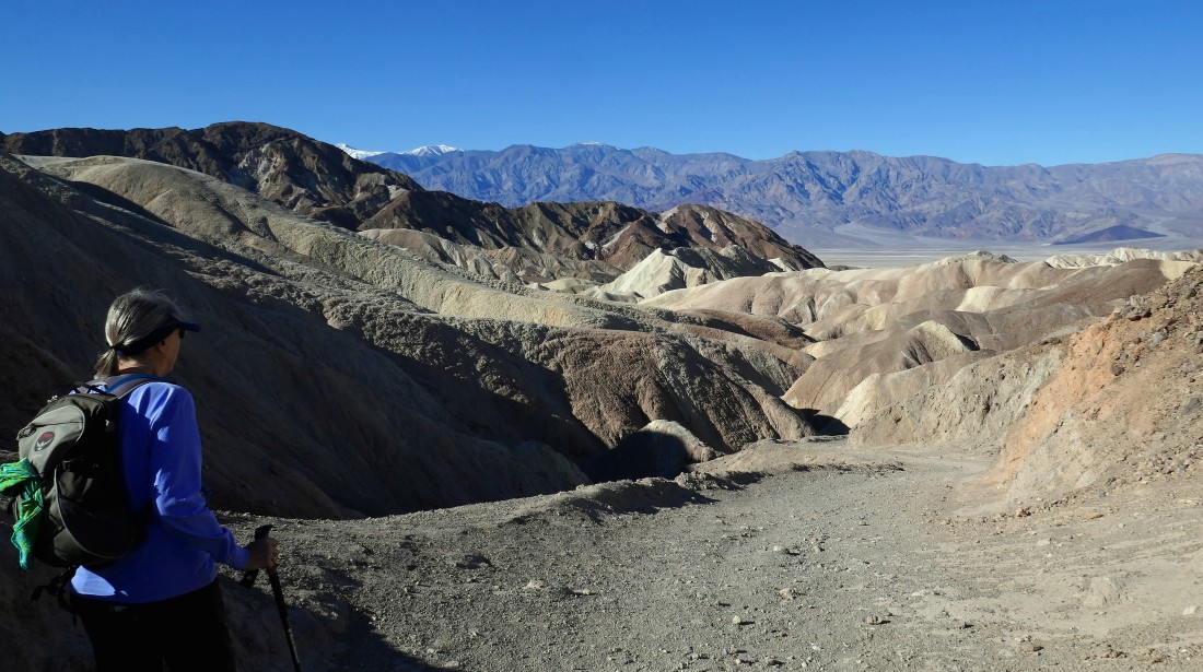
Continuing to hike on the Zabriskie Point Trail... with Manly Beacon in the foreground... and Red Cathedral on the right.
|

After hiking a total of 1.1 miles we have reached Badlands Junction... where we will continue hiking toward the Golden Canyon Trailhead.
|
After hiking a total of 1.2 miles (a tenth of a mile beyond the Badlands Junction sign) we have left the main trail and entered a wash that will take us over to Manly Beacon.
|
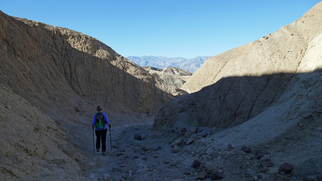
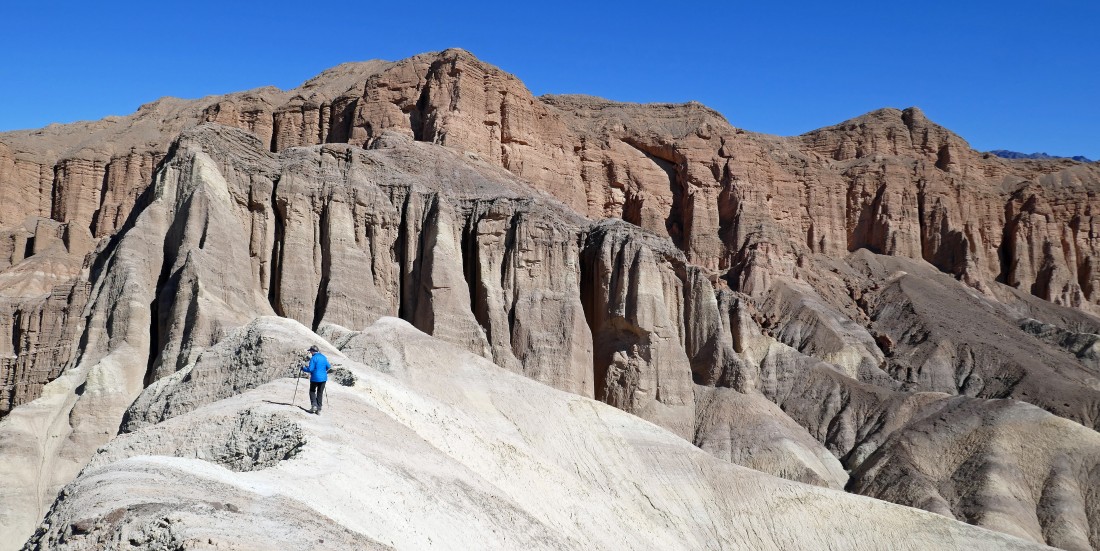
Hiking in the wash that will get us over to the base of Manly Beacon... yesterday while doing Red Cathedral we were able to look down on the wash and saw that it would do the job for us.
|
Continuing to hike in the wash that will get us over to Manly Beacon... Red Cathedral is in the distance as we continue to hike the snake-like wash.
|
|
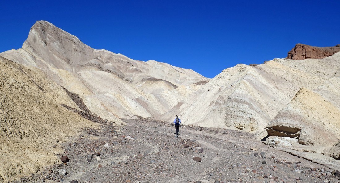
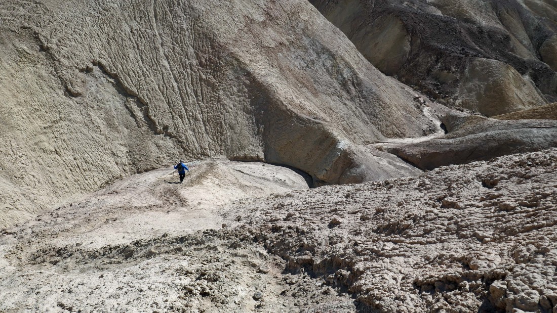
After hiking a total of 1.6 miles Denali Girl leaves the wash and heads steeply uphill.
|
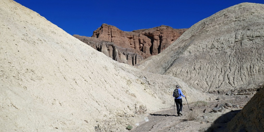
Following an obvious path that will take us over to the summit block.
|

Watching Denali Girl come up to the base of the Manly Beacon summit block... looking back toward Zabriskie Point... with the Funeral Mountains on the horizon.
|
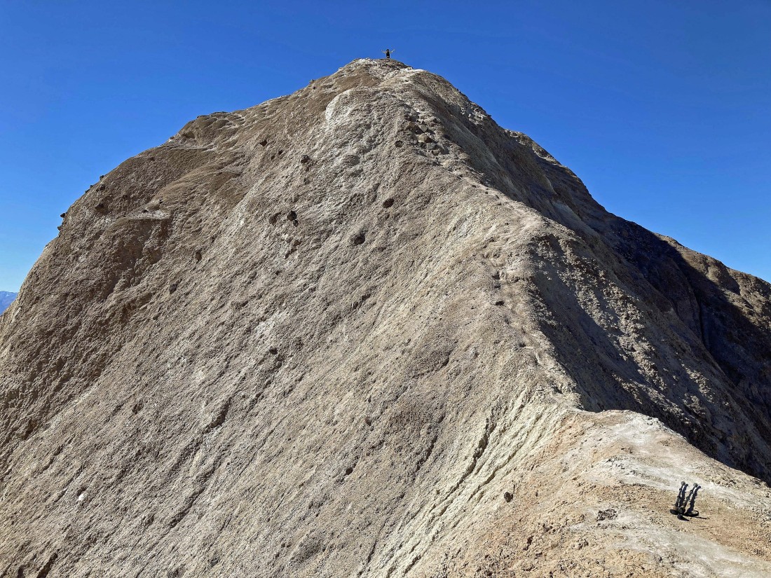
Here is where the serious caution begins on this hike/scramble... call it the NE ridge of Manly Beacon.
|
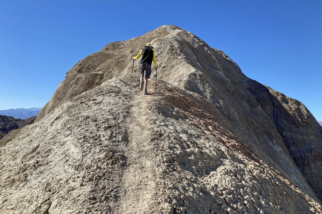
Denali Girl took this photo of me starting up the route... note that I have left my pack behind.
|
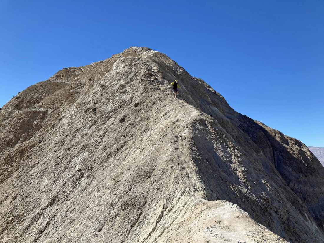
Denali Girl took this photo of me going up the NE ridge of Manly Beacon... very narrow in places.
|
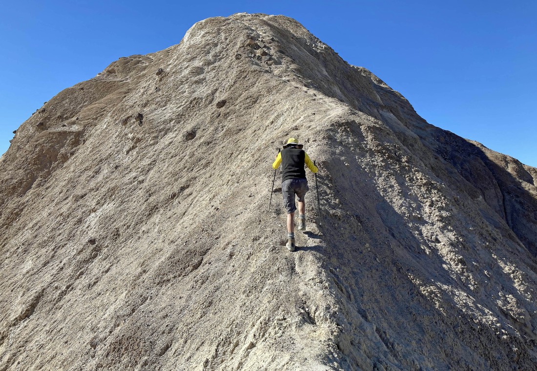
Denali Girl took this photo of me going up the NE ridge of Manly Beacon.
|
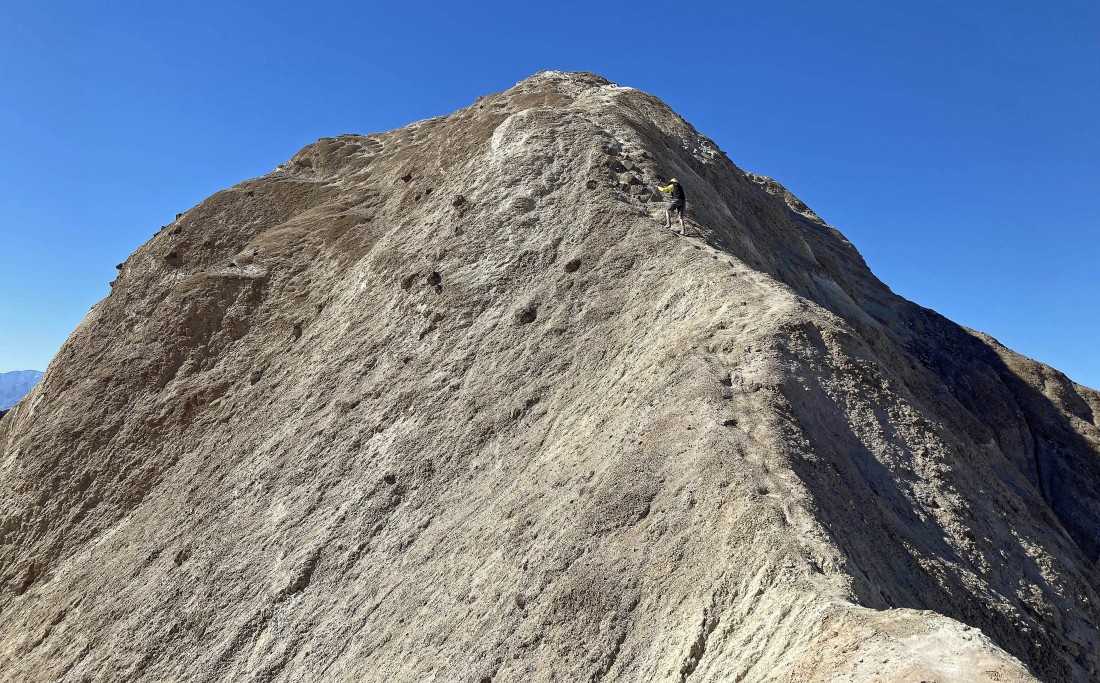
Denali Girl took this photo of me going up the NE ridge of Manly Beacon.
|
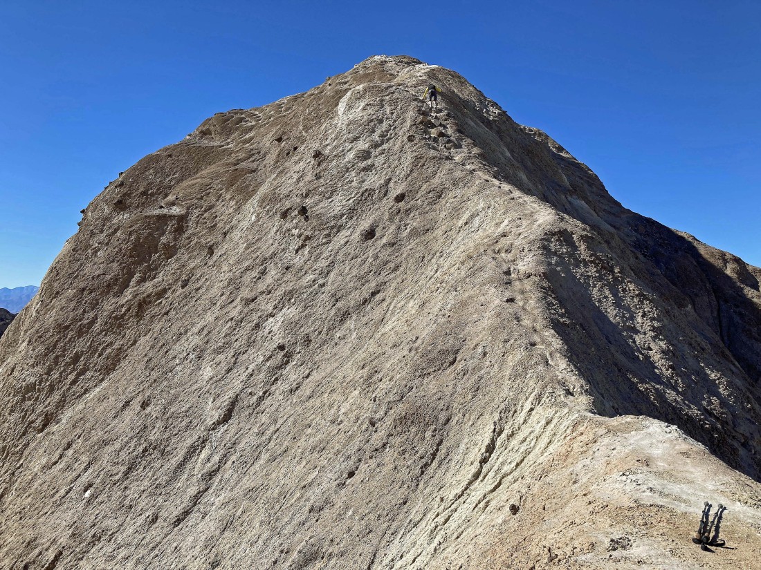
Nearing the summit of Manly Beacon... it was the only photo I took since starting up the steep section.
|
Denali Girl took this photo of me standing on the summit (814 feet) after having hiked a total of 1.75 miles... the 10 MPH wind gusts made her decision to not follow me up very easy.
|
|
On the summit looking west and NW across the Cottonball Basin section of Death Valley to the Panamint Mountains (left) and Tucki Mountains (right).
|
From the Manly Beacon summit... looking NE to Red Cathedral in the left foreground... and the Funeral Mountains on the horizon.
|
From the Manly Beacon summit... looking south across Golden Canyon to the Black Mountains in the foreground.
|
Still on the summit of Manly Beacon... looking down at Denali Girl in the bottom of the photo directly below me... time to hold my breath and head down.
|
Denali Girl took this photo of me on the way down from the Manly Beacon summit... on the way down I sat down twice due to the wind gusts.
|
After getting off of the steep section I took this photo of Denali Girl while she went out the ridge a short distance to check things out... Red Cathedral is on the horizon.
|
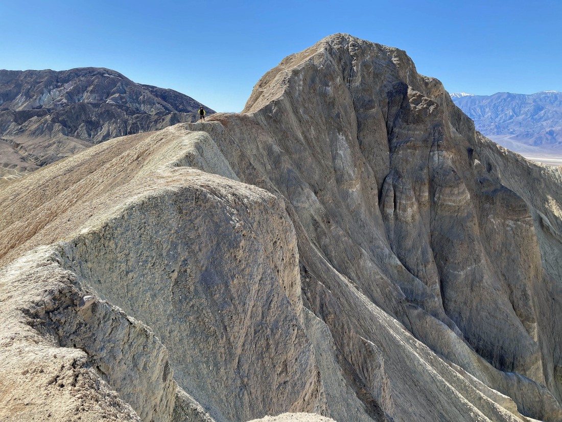
Denali Girl took this photo of me and Manly Beacon from the ridge in the previous photo.
|

Heading back down to the wash as we trace our steps back to the car.
|
Almost back down to the wash.
|
Back in the wash as we head back to join the Zabriskie Point Trail.
|
|
Back on the Zabriskie Point Trail... here looking back at Manly Beacon.
|
On the Zabriskie Point Trail and heading back to the car.
|
On the Zabriskie Point Trail and heading back to the car... with Zabriskie Point up there in the middle of the photo.
|
The Zabriskie Point Trail goes through the gap in the middle of the photo.
|
Almost back to the parking lot... the total hike/scramble was 3.5 miles, gaining 785 feet of elevation.
|
